
2016
Type of resources
Available actions
Topics
Keywords
Contact for the resource
Provided by
Years
Formats
Representation types
Update frequencies
status
Resolution
-
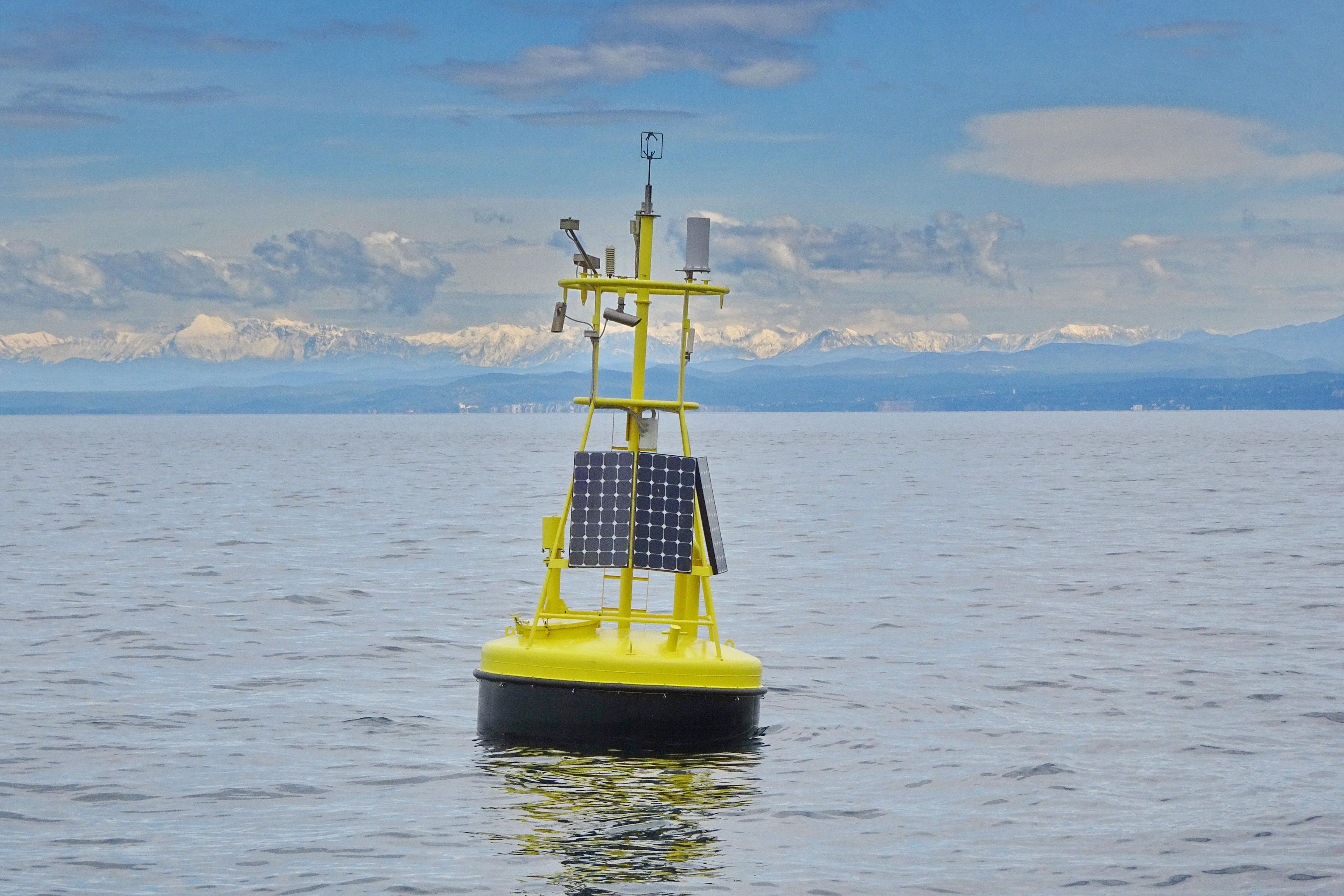
The separation line of the semi-enclosed northern basin from the rest of the Adriatic Sea is conventionally defined at the 100 m isobath, at about 43°20’N, from where the bottom depth moderately decreases up to the northern coast reaching the smallest average depth in the northernmost protrusion of the basin, the Gulf of Trieste (surface area 600 km2, volume 9.5 km3, maximal depth approx. 25 m). The oceanographic properties of Gulf of Trieste are affected by water mass exchange with the northern Adriatic at the open western boundary, by local meteorological conditions that induce a pronounced seasonal cycle of seawater temperature (6 - 28 oC) and by the largest freshwater input, the Soča (Isonzo) River. The latter enters the Gulf on the shallower northern coastline with an average flow of 123 m3 s-1 and represents the major source of land-borne nutrients in this coastal zone, in particular of nitrate, whereas inputs along the south-eastern coast are comparatively small (contributing less than 10% to the freshwater balance in the Gulf). The circulation pattern is variable, however the prevailing ENE wind is the most efficient for the water exchange, especially during winter. These physical features, in addition to freshwater inputs, are ultimately reflected in the distribution of nutrients and in the seasonal and inter-annual variability of plankton communities, primary production but also in events of hypoxia/anoxia and mucous macroaggregates, which have characterised the whole northern Adriatic basin in the recent past. The waters of the Gulf of Trieste have been monitored for several physical-chemical and biological variables since 70s’ but the longest and most continuous data set of biological variables is represented by the phytoplankton time series, which started in 1990 when the national monitoring programme has become operational (set by Slovenian Environmental Agency). From 2007 onwards, the monitoring programme complies with the regulations of the EU Water Framework Directive (2000/60/EC).
-
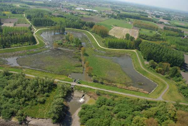
Site with Controlled Reduced Tides (CRT) in het Scheldt Estuary. By sluices the tidal influence is regulated. As such a reduced tidal influence is alowed in a former agricultural landscape.
-
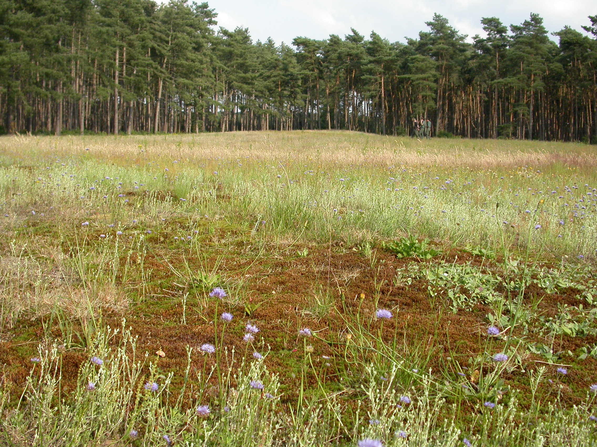
Bosland consists of 3 municipalities Lommel, Overpelt and Hechtel-Eksel with a total area of 21982ha. From this area, 9500 ha is nature and forest which consists largely of coniferous stands on sandy soil intermixed with remnants of heathland and landdunes.
-
Deposition data from LTER Zöbelboden. The data comprises monthly wet only and bulk precipitation chemistry from an open area and canopy throughfall chemistry from 2-3 forest plots
-
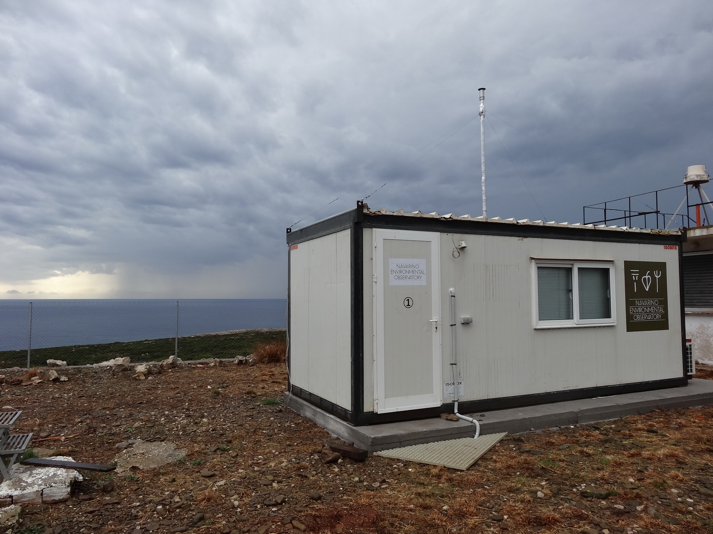
The Navarino Environmental Observatory (NEO) is a pioneer in Greece as an international partnership, between the academic community and the private sector in the field of research and education on climate change and the environment in the Mediterranean region. (www.navarinoneo.gr). NEO started its full operation in 2010 as a collaboration between Stockholm University, the Biomedical Research Foundation of the Academy of Athens (BRFAA) and TEMES S.A.. The unique climate and landscape of the Messinia region makes it an ideal location for research on climate and environmental change. NEO has already become an international hub for frontline research and education, where scientists from all over the world meet to exchange knowledge and ideas.
-
Bird census survey (abundance and diversity)
-
Number of wild reindeer by year, including population structure (males, females and calves, some age classes)
-
GIS thematic layers with archival data (1955, 1977, 2004) on distribution of mountain meadows - remnants of past low-impact human activity (mostly sheep grazing, some cattle grazing, hay harvesting, etc.). Currently largely undergoing secondary succession (overgrowth by tree/bush vegetation).
-
Air temperature (daily and monthly) 1957-present
-
Gis layers with the management points over the national park from 2010 - 2015