
2018
Type of resources
Available actions
Topics
Keywords
Contact for the resource
Provided by
Years
Formats
Representation types
Update frequencies
status
Scale
-
Fine Grain Vegetation data from the UK Environmental Change Network (ECN) terrestrial sites. These data are collected at all of ECN's terrestrial sites using a standard protocol (see supporting documentation). In this protocol, 10m x 10m plots are randomly selected within each vegetation type on the site - species presence is recorded in 40cm x 40 cm cells randomly selected within these plots. They represent continuous records every three years (some sites record data annually) from 1994 to 2015. ECN is the UK's long-term environmental monitoring programme. It is a multi-agency programme sponsored by a consortium of fourteen government departments and agencies. These organisations contribute to the programme through funding either site monitoring and/or network co-ordination activities. These organisations are: Agri-Food and Biosciences Institute, Biotechnology and Biological Sciences Research Council, Cyfoeth Naturiol Cymru - Natural Resources Wales, Defence Science & Technology Laboratory, Department for Environment, Food and Rural Affairs, Environment Agency, Forestry Commission, Llywodraeth Cymru - Welsh Government, Natural England, Natural Environment Research Council, Northern Ireland Environment Agency, Scottish Environment Protection Agency, Scottish Government and Scottish Natural Heritage.
-
Bird species data from the UK Environmental Change Network (ECN) terrestrial sites. Counts of individual bird species are recorded. These data are collected, using the British Trust for Ornithology (BTO)'s Breeding Bird Survey methodology, at all of ECN's terrestrial sites using a standard protocol. They represent continuous records from 1995 to 2015 (the transects are walked twice each year). ECN is the UK's long-term environmental monitoring programme. It is a multi-agency programme sponsored by a consortium of fourteen government departments and agencies. These organisations contribute to the programme through funding either site monitoring and/or network co-ordination activities. These organisations are: Agri-Food and Biosciences Institute, Biotechnology and Biological Sciences Research Council, Cyfoeth Naturiol Cymru - Natural Resources Wales, Defence Science & Technology Laboratory, Department for Environment, Food and Rural Affairs, Environment Agency, Forestry Commission, Llywodraeth Cymru - Welsh Government, Natural England, Natural Environment Research Council, Northern Ireland Environment Agency, Scottish Environment Protection Agency, Scottish Government and Scottish Natural Heritage.
-
Temperature and precipitation data from 1956-2017
-
Air temperature (60 cm above ground) and precipitation (100 cm above ground) from 2013-2018
-
Air temperature (60 cm above ground) and precipitation (100 cm above ground) from 2013-2018
-
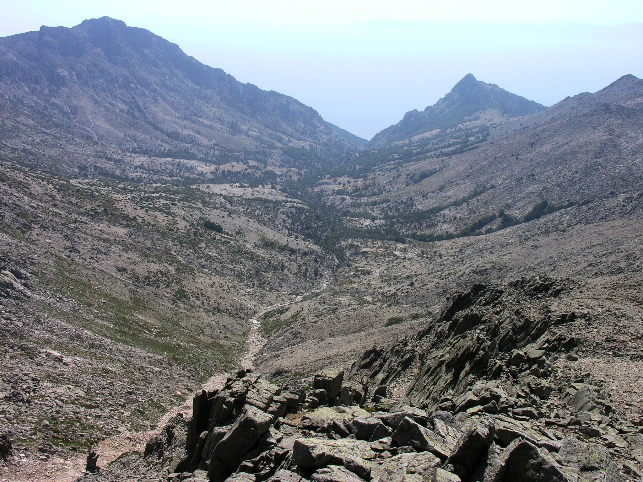
The island of Samothraki is located in the north-eastern Aegean Sea (Thraki, Greece). At only 178 km2 Samothraki is a high mountain massif that dominates the northern Aegean Sea and packs a lot into its small size. The island is bursting with picture perfect views of pristine cultural landscapes, an impressive geology and varied natural vegetation including ancient oriental plane forests, mountain wilderness, abundant fresh waters in the form springs and perennial streams with waterfalls which plunge into deep glassy rock pools, hot springs, small coastal wetlands, rocky beaches and a crystal clear seas. Samothraki is a perfect destination for naturalists, thrill-seeking adventurers and dedicated scientists; it seems to attract people who really care for its natural wonders. With a small local population of under 3,000 (2011 census) and a low population density (15 persons/km2), its main economic activities are agriculture, livestock breeding and small scale tourism. The island is relatively undisturbed by the modern world and remains one of the last virgin islands of Greece. It is thus self-evident that a large portion of this unique island with its rich biodiversity and deep history is part of the NATURA 2000 Network and is a UNESCO Biosphere Reserve candidate. Hydrologic and geochemical monitoring has been conducted while water and biological quality data of surface have been collected since 2000. SNO is managed by the Institute of Marine Biological Resources and Inland Waters (IMBRIW, http://imbriw.hcmr.gr/en/) of the Hellenic Centre for Marine Research (HCMR, http://www.hcmr.gr/en/).
-
Bird species data from the UK Environmental Change Network (ECN) terrestrial sites. Counts of individual bird species are recorded. These data are collected, using the British Trust for Ornithology (BTO)'s Breeding Bird Survey methodology, at all of ECN's terrestrial sites using a standard protocol. They represent continuous records from 1995 to 2015 (the transects are walked twice each year). ECN is the UK's long-term environmental monitoring programme. It is a multi-agency programme sponsored by a consortium of fourteen government departments and agencies. These organisations contribute to the programme through funding either site monitoring and/or network co-ordination activities. These organisations are: Agri-Food and Biosciences Institute, Biotechnology and Biological Sciences Research Council, Cyfoeth Naturiol Cymru - Natural Resources Wales, Defence Science & Technology Laboratory, Department for Environment, Food and Rural Affairs, Environment Agency, Forestry Commission, Llywodraeth Cymru - Welsh Government, Natural England, Natural Environment Research Council, Northern Ireland Environment Agency, Scottish Environment Protection Agency, Scottish Government and Scottish Natural Heritage.
-
Bird species data from the UK Environmental Change Network (ECN) lowland terrestrial sites. These data were collected, using the British Trust for Ornithology (BTO)'s Common Bird Census methodology (CBC), at ECN's lowland terrestrial sites using a standard protocol. This protocol was abandoned in favour of the Breeding Bird Survey (Rennie et al (2017) UK Environmental Change Network (ECN) bird data: 1995-2015 https://doi.org/10.5285/5886c3ba-1fa5-49c0-8da8-40e69a10d2b5) in 1999; however, some sites continued to follow this protocol for a number of years after 1999 to allow comparison with the Breeding Bird Survey data. The CBC uses a mapping method in which a series of visits are made to all parts of a defined plot during the breeding season and contacts with birds by sight or sound are recorded on large-scale maps. Information from the series of visits is combined to estimate the number of territories found. Annual data are recorded but the date ranges available are variable for each site. ECN is the UK’s long-term environmental monitoring programme. It is a multi-agency programme sponsored by a consortium of fourteen government departments and agencies. These organisations contribute to the programme through funding either site monitoring and/or network co-ordination activities. These organisations are: Agri-Food and Biosciences Institute, Biotechnology and Biological Sciences Research Council, Cyfoeth Naturiol Cymru - Natural Resources Wales, Defence Science & Technology Laboratory, Department for Environment, Food and Rural Affairs, Environment Agency, Forestry Commission, Llywodraeth Cymru - Welsh Government, Natural England, Natural Environment Research Council, Northern Ireland Environment Agency, Scottish Environment Protection Agency, Scottish Government and Scottish Natural Heritage.