
age class
Type of resources
Available actions
Topics
Keywords
Contact for the resource
Provided by
Years
Formats
Representation types
-
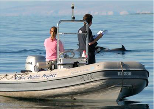
Large marine site located in the Kvarnerić area, around the sheltered coast and waters of the eastern part of the Lošinj and Cres archipelago. It is one of the most important feeding and breeding areas for bottlenose dolphins (Tursiops truncatus) in the Eastern Adriatic. Lithostratigraphic units represented on the coast are dolomites and post sedimentary diagenetic breccia (upper albian, lower cenomanian - K16, K12), rudist limestones (cenomanianmaastricht - K21-6). Soils on the coast are rockyground, anthropogenic soil on karst. The area was created after the transgression of the sea after the last glaciation; marine shelf; highly indented coastline. In July 2006 of preventive protection of a part of the Kvarnerić region for 3 years as a Special Marine Reserve (Cres-Lošinj Special Marine Reserve – CLSMR has been declared.
-
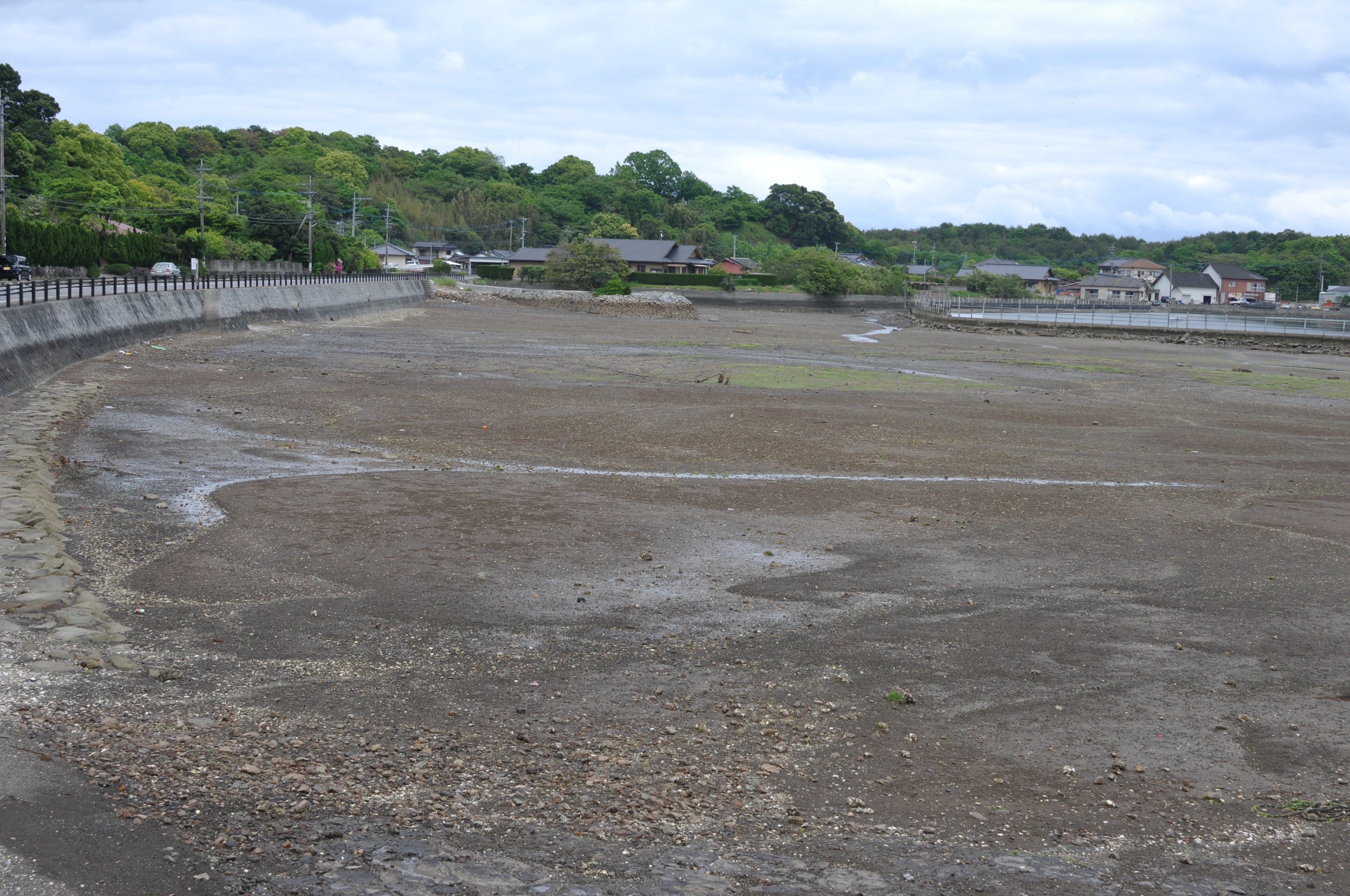
Tidalflats, Rocky shore, Wetlands (containing saltmarshes) in Nagaura Island, Kami-Amakusa, Kumamoto, Japan. It locates in Unzen-Amakusa National Park at west-Kyushu.
-
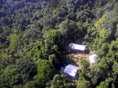
The site comprises 10,000 ha of pristine lowland rainforest in northern Papua New Guinea, owned by indigenous landowners from Wanang Village and declared as Conservation Area. The forest has >500 species of woody plants and largely intact, mildly hunted vertebrate communities. The site includes a field research station (phone, radio, accommodation, catering, solar power) accessible on foot or by helicopter. Further, the site has 50-ha forest dynamics plot from the Center for Tropical Forest Science network, with >300,000 stems tagged and monitored from 2012. There is significant background information on plants, birds, frogs, and several insect taxa. Insect monitoring programme is planned from 2013.
-
A mosaic of savanna, dry forest, evergreen forest, and grassland most of them seasonally floodable by overflow of water from Cuiabá River. Regional climates is tropical wet and dry. Besides Cuiabá River, there are a large number of permanent water body widespread in the landscape, such as oxbow lakes and secondary river channels.
-

The Hölstein site is located in in the eastern part of the Swiss Jura mountains (47°26’16.4’’, 7°46’31.1’’; 540 m a.s.l.), in a mixed, temperate forest with an exceptionally high biodiversity and a vigorous tree regeneration. The research plot has a size of 1.6 ha and comprises 540 mature trees. The main tree species are Fagus sylvatica and Picea abies with an admixture of Abies alba, Quercus petraea, Pinus sylvestris, Acer pseudoplatanus, Carpinus betulus, Fraxinus excelsior and Sorbus torminalis. A canopy crane is installed in the center of the research area to access the tree canopies for in situ measurements and for sampling of leaf material. Rainout shelters will be installed in 2019 for conducting a long-term throughfall exclusion experiment.
-
This site is located on the territory of National Park “Rila”, Bulgaria. Parangalitsa has been a reserve since 1933. It is situated on part of the southwestern slopes of Rila mountain, covering 1,509 hectares. It contains some of the oldest pine tree forests in Europe with an average age of over 200 years. The site is a part of the network of bioecological stations of Forest Research Institute – BAS and research is focused on highly productive coniferous forests with unique biomass. In the main experimental plots, long-term complex studies were conducted during the period 1979 - 1998, a large-scale database was created and a number of significant scientific results were obtained. In the period 2000 - 2018, separate targeted studies were carried out - focused on some ecosystem processes, which allows the analysis and evaluation of the functioning of ecosystems to be don
-
In Britz we study the water consumption (evapotranspiration) of important commercial tree species since 1974. The main feature are the nine large-scale lysimeters, installed at a depth of over 5 m with a surface area of 100 m² (10x10 m) each. They are planted with 0.3 ha experimental stands of Scots pine (Pinus sylvestris) (3 lysimeters), European beech (Fagus sylvatica) (2), European larch (Larix decidua) (2), and Douglas fir (Pseudotsuga menziesii) (2) spaced corresponding to the forestry practice at that time. About 15 years ago one Larch lysimeter was clear-cut and replanted with sessile oak (Quercus petraea). On two Scots Pine lysimeters, European beech was planted building now the understory. The areas surrounding the lysimeters were planted in a similar fashion. Seepage water collecting at the bottom of the lysimeter flows down a shaft and is measured mechanically by a tipping counter and registered electronically. Soil moisture is measured with probes to a total depth of 5 m. Precipitation in the open field and the stand is recorded with Hellmann rain gauges. In addition, the station is equipped with devices assessing individual tree water transport and growth (sap-flow sensors, dendrometers), an Eddy-Fluy-Tower and much more. The studies are aimed at revealing the effects of different tree species and mixtures on the ground and landscape water balance. Moreover, the effects of drought on tree performance and tree-internal water budgets are of interest. However, recently we added acoustic monitoring, a pollen collector, regular UAV flights to our assessments and are always open to more co-operations.
-
The Hohes Holz is a mixed beech forest, with an intensive research site with respect to carbon and water cycle at the northern border of the Bode catchment close to Magdeburg, Germany. It is certified as class 1 ecosystem station in ICOS.
-
The Kedoshim-forest Long Term Ecological Research (LTER) is an experimental set up established in 2008 in a mature Pinus halepensis forest. This long-term research was designed to address silvicultural issues related to the management of mature, first generation, man-made, pine forest ecosystems in Israel and the design of their next generations as sustainable multiple-use forests. The Kedoshim LTER site is part of the Israeli LTER network - MAARAG. The Kedoshim LTER site provides a comprehensive well designed experimental infrastructure to study long-term effects of silvicultural manipulation (specifically overstory thinning) on vegetation dynamics, forest structure and ecosystem function. Four overstory thinning treatments were applied within 70×70 research plots: 1) clear cut, 2) heavy thinning – 100 tree ha-1 (65% reduction in stem basal area), 3) moderate thinning – 300 tree ha-1 (35% reduction in stem basal area) and, 4) control with no thinning – ca. 500 tree ha-1. Additionally, adjacent non-forested area was assigned as a reference. Climate and microclimate and various aspects of vegetation dynamics, forest function and biodiversity are monitored continuously since the application of thinning treatments.
-
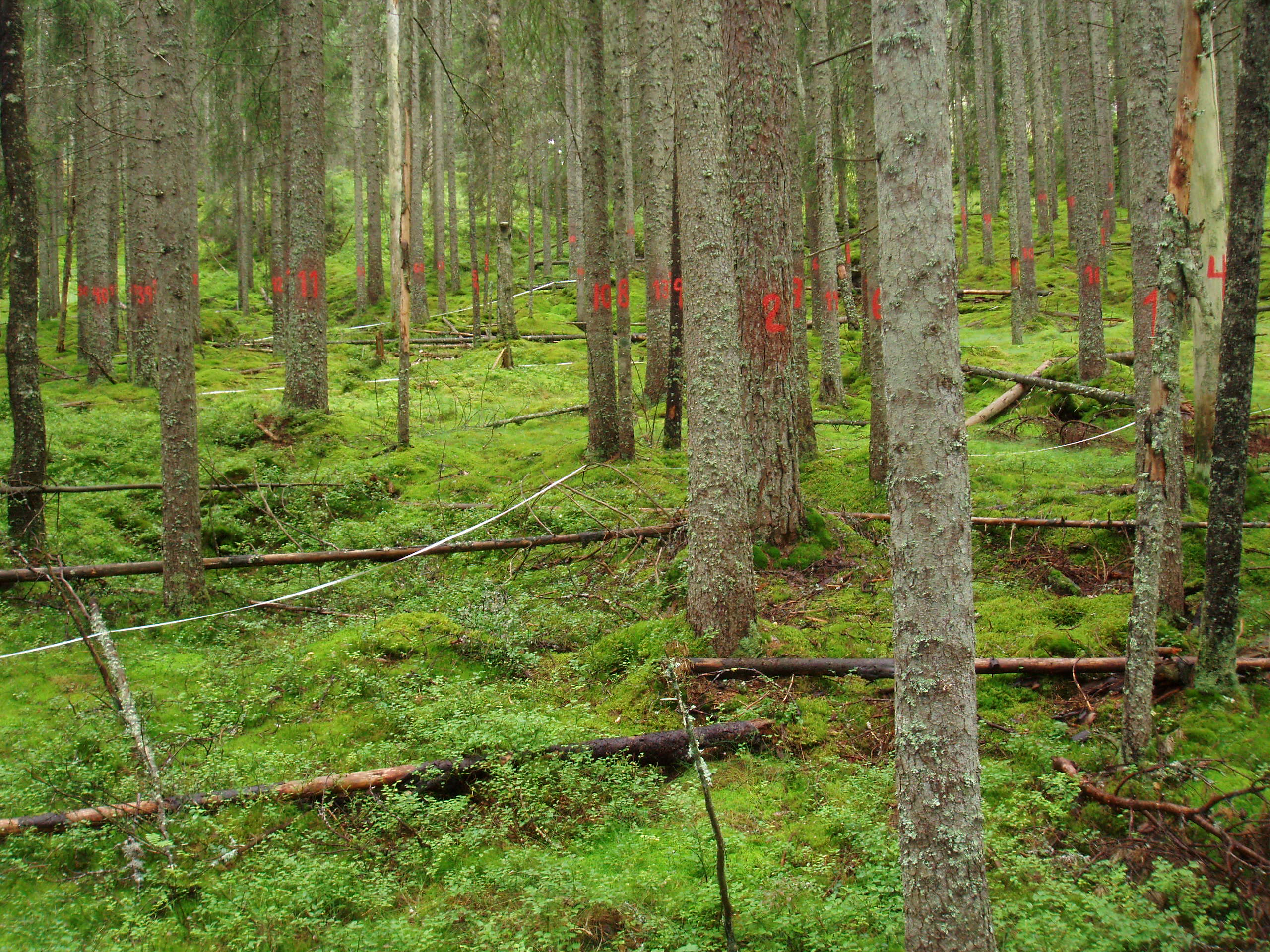
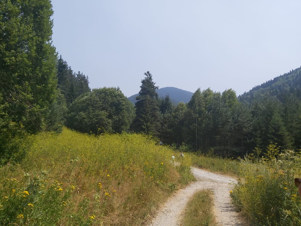
Nature reserve, Natura 2000, protected coniferous blueberry forest.