
alpha diversity
Type of resources
Available actions
Topics
Keywords
Contact for the resource
Provided by
Years
Formats
Representation types
-
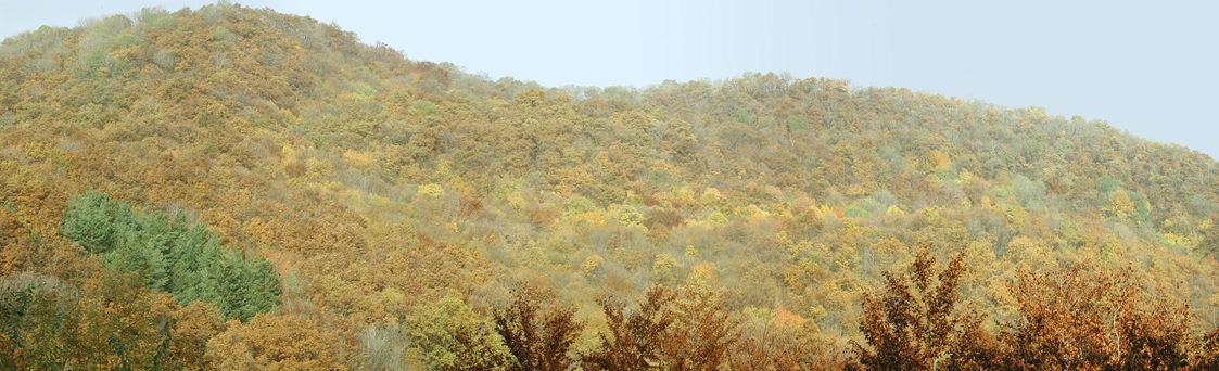
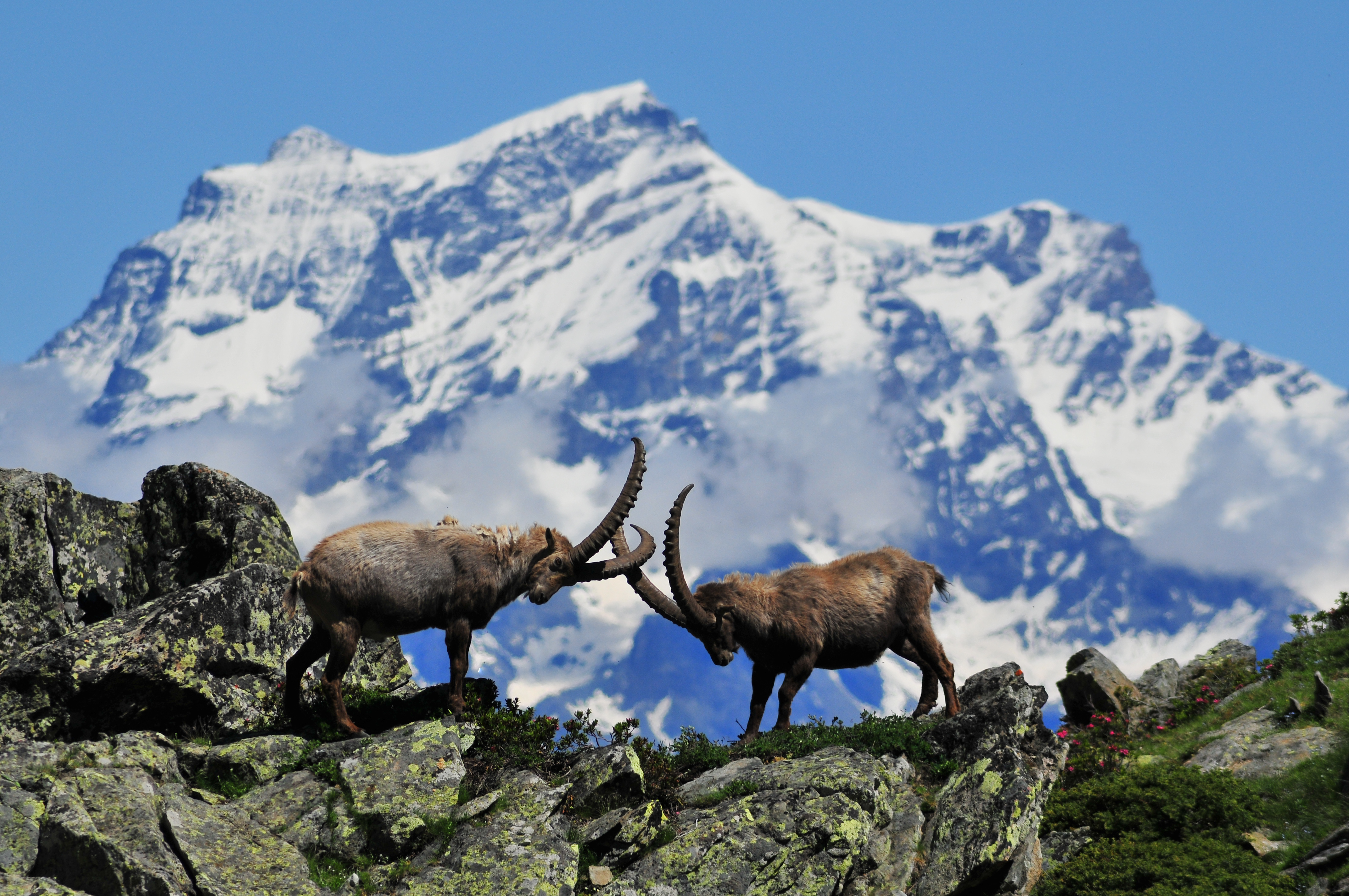
Central Europe maintains a considerable diversity of dry-mesic oak forests as the main representatives of zonal forest vegetation types in Hungary, covering the major part of foothills of the middle-range mountain, Inner Western Carpathians. The 669 m high, Triassic limestone hill called ‘Vár-hegy’ belongs to the Bükk Mountains. The annual mean temperature is about 8◦C and the annual precipitation is about 650 mm. The core area of the reserve (94 ha) is covered mainly by close-to-nature. long untouched oak dominated forests stands: Pannonic woods with Quercus petraea and Carpinus betulus; Pannonian-Balkanic Turkey oak-sessile oak forests; Pannonian woods with Quercus pubescens. It has been set aside for preservation in 1991, though several previous conservation acts had already secured almost spontaneous natural development of the stands. Most of the area was cut around 1880, however, several over-mature trees were retained. The intensive use in the previous centuries and during the world wars left a sessile oak dominated, 120-130-year-old, mostly coppice forest. The abandonment and the precedent severe oak decline contributed to generate a more diverse forest composition and structure developing towards a mixed forest with pronounced ‘old-growth’ characteristics.
-
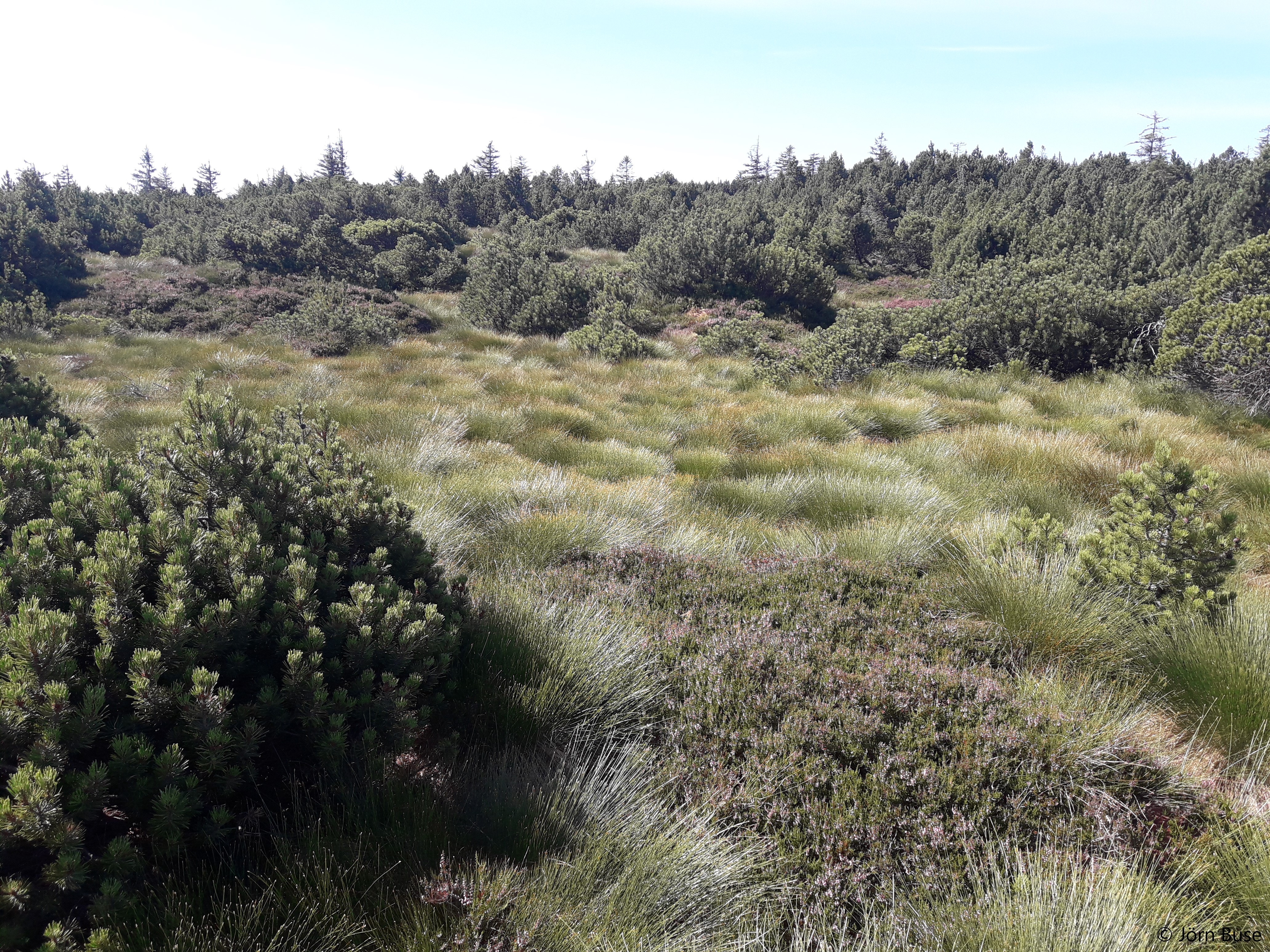
Studies on ecological successions have a long tradition and strongly contributed to the understanding of community assembly, niche theory and ecosystem structure and functionality. Reports on ecological successions are however mostly restricted to one or two taxonomical groups, neglecting the mutual influences and dependencies between multiple taxonomic groups that are the building blocks of multidiverse communities. We introduce the Alpine research platform Ödenwinkel to promote observational and experimental research on the emergence of multidiversity and ecosystem complexity. We established n = 140 permanent plots along the successional gradient of the forefield of the Ödenwinkelkees glacier at the end of Stubachvalley in the Hohe Tauern range (National Park Hohe Tauern, Land Salzburg, Austria). In summer 2019 we completed a first full inventory of biotic and abiotic characteristics of these plots covering the diversity and composition of vascular plants, bryophytes, arthropods and other animals, bacteria and fungi as well as some geomorphologic properties. In this paper we introduce the design of the research platform and show first results on the diversity and composition of vascular plants along the successional gradient. The Ödenwinkel platform will be available as long-term ecological research site where researchers from various disciplines can contribute to accumulate knowledge on ecological successions and on how interactions between various taxonomical groups structure ecological complexity in this alpine environment.
-
The site consists of “orographic islands” with high elevation vegetation in central Mediterranean basin, along the Apennines mountain range, within the Appennino Tosco-Emiliano National park and partially in the Appennino Modenese Regional park. It includes 64 permanent plots for plant species monitoring, distributed from timberline zone to the subalpine/alpine belt (1722-2000 m), that belong to the GLORIA project’s world network (GLobal Observation Research Initiative in Alpine ecosystems); The plots lie at the top of four summits, displayed along an altitudinal gradient, chosen following the GLORIA Target Region selection criteria. Furthermore, other 26 permanent plots, detached from the GLORIA project, have been settled on mount Prado. The observation and the long-term monitoring of vegetation and alpine plant species population started in 1999. The collection of soil temperature and osmotic potential started in 2001 and 2013, respectively. The site is resurveyed regularly to collect vegetation data (in term of presence/absence and coverage) and climatic data (temperature and osmotic potential data series recorded every 30 minutes by data loggers) in order to assess impacts of climate change on plant communities and single plant species of interest.
-
None
-
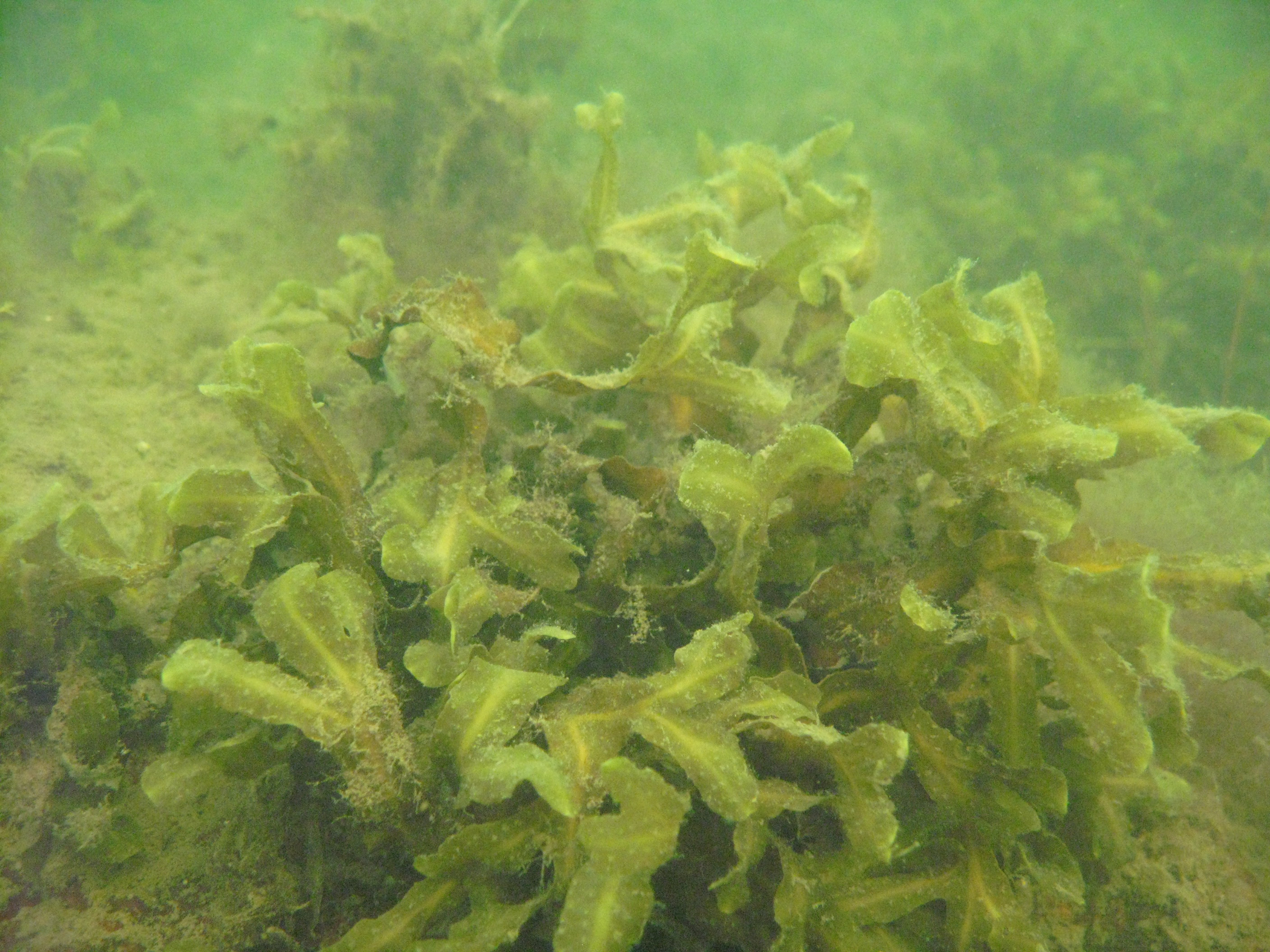
Western part of the Gulf of Riga (the Baltic Sea) littoral and sublitoral zone. The marine site is located on the west coast of the Gulf, in the Engure Nature protected area. The monitoring activities are based on three transects which represent an open area of very similar substrate type. These transects are located on the tip of Mersrags, 2.5 km northwards from the port of Mersrags. Long-term studies of the Gulf of Riga coastal zone communities and macrophytes as the key component of littoral zone under natural and anthropogenic impact and possible threats to the littoral zone biological resources. The SCUBA diving is used in marine site assessment.
-
The site corresponds to the territory of Gran Paradiso National Park. This includes different ecosystems, present along the altitudinal gradient (ca. 800 – 4000 m asl): the woody areas of the montane belt, the ecotonal habitats of the subalpine belt and the meadows of the alpine one. The nival belt is widely represented inside the Park. The habitats with poor or no vegetation (rocks, screes, glaciers) cover about 60% of the territory, meadows and pastures 17%, about 20.2% is characterised by woods and shrubs, while 0.8% by cultivated lands and urban areas. The aquatic ecosystems, beyond the streams, comprise almost 15 lakes, bigger than 10,000 m2 and located at an altitude higher than 2000 m asl. The area is directly managed by the Park Authority; research and monitoring activities are coordinated by the Sanitary and Scientific Office of the Park.
-
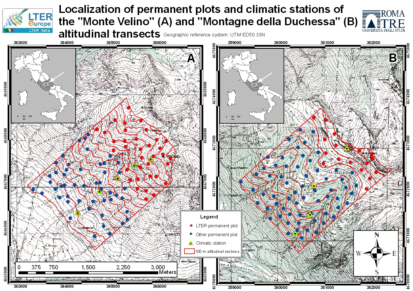
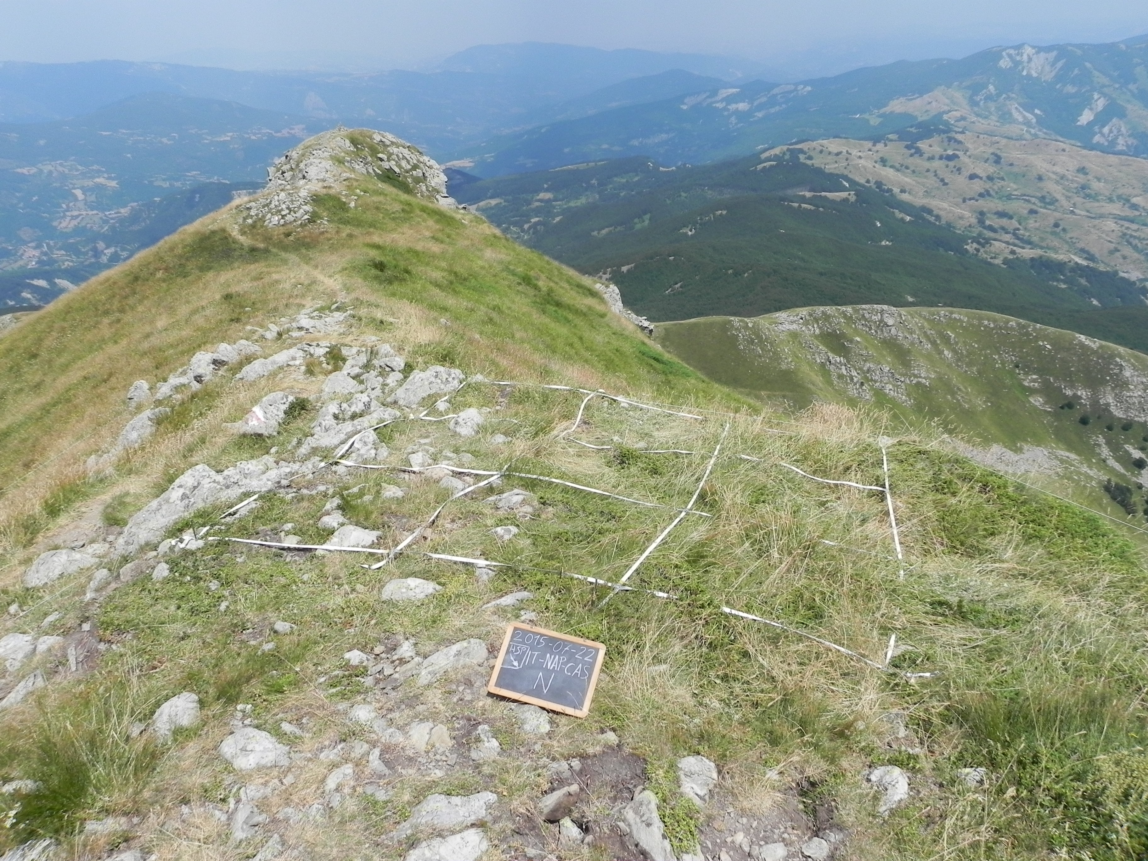
The site includes a large mountainous area in the Central Apennines, almost in the centre of the Italian peninsula and about 70 km west of Rome. It represents an “orographic island” in the Central Mediterranean basin, along the Apennines mountain range. Since 1993, the vegetation has been surveyed at six permanent high elevation plots (Mount Sevice research station, Mount Velino, 2125-2225 m a.s.l.) and (since 2005) at an additional 55 plots along two elevation transects (SW slope of Mount Velino and Mount Morrone), including primary and secondary grasslands, beech forests and alpine tundra. Since 2014, micro-climate data (GLORIA method) have been continuously recorded at the high elevation plots. Vegetation is surveyed yearly in the 6 high elevation plots (each 100 m2 in size) grouped in two cluster-plots (each of 3 plots). Structure and composition changes are studied in two ecologically opposite primary plant communities, both above the timberline: snow-bed grassland and alpine tundra, both characterized by extreme below zero temperatures all year round and frozen soil for 8 months per year, but with very different snow cover duration. Based on the first 30 years of observation, a clear trend toward a decrease of snow dependant species and a parallel increase in drought- and stress-tolerant species has been recognized, linked to a general process of climate change, more accelerated in Southern Europe.
-
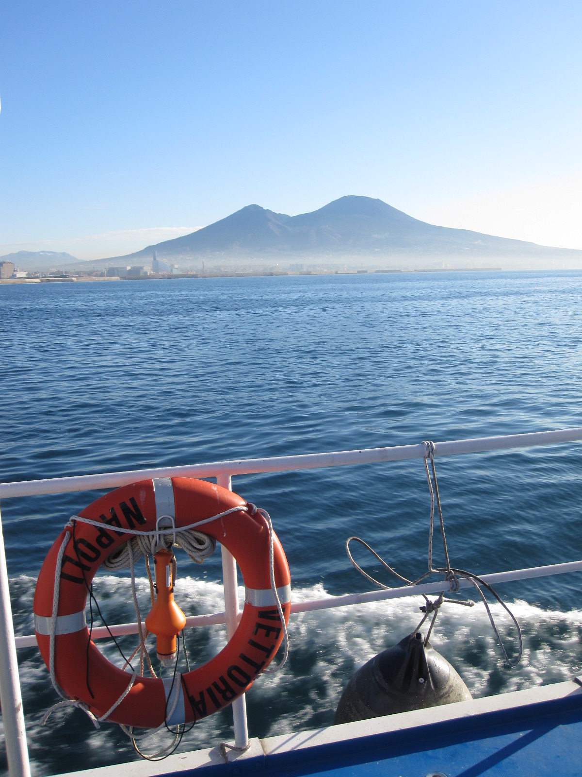
The Gulf of Naples has an extension of ca 870 kmq and an average depth of 170 m. The coastal area, which is inhabited since pre-Roman age, is densely populated and small factories are actively growing. In the Gulf, polluted areas (Sarno river mouth, harbours) coexist with pristine areas, including some Protected Marine Areas. Research on marine organisms has started before since the beginning of 1800, but first ecological studies date back to the 70ies of the last century. The long-term monitoring station (LTER-MC, 40°49’N, 14°15’E) is located 2 nm off Naples city (depth ca 75 m) at the boundary between eutrophied coastal waters and oligotrophic Tyrrhenian waters. Larger areas of the Gulf have been sampled occasionally in several cruises. The MC data set represents one of the few plankton time series available in the Mediterranean Sea, and it is certainly one of the longest.
-
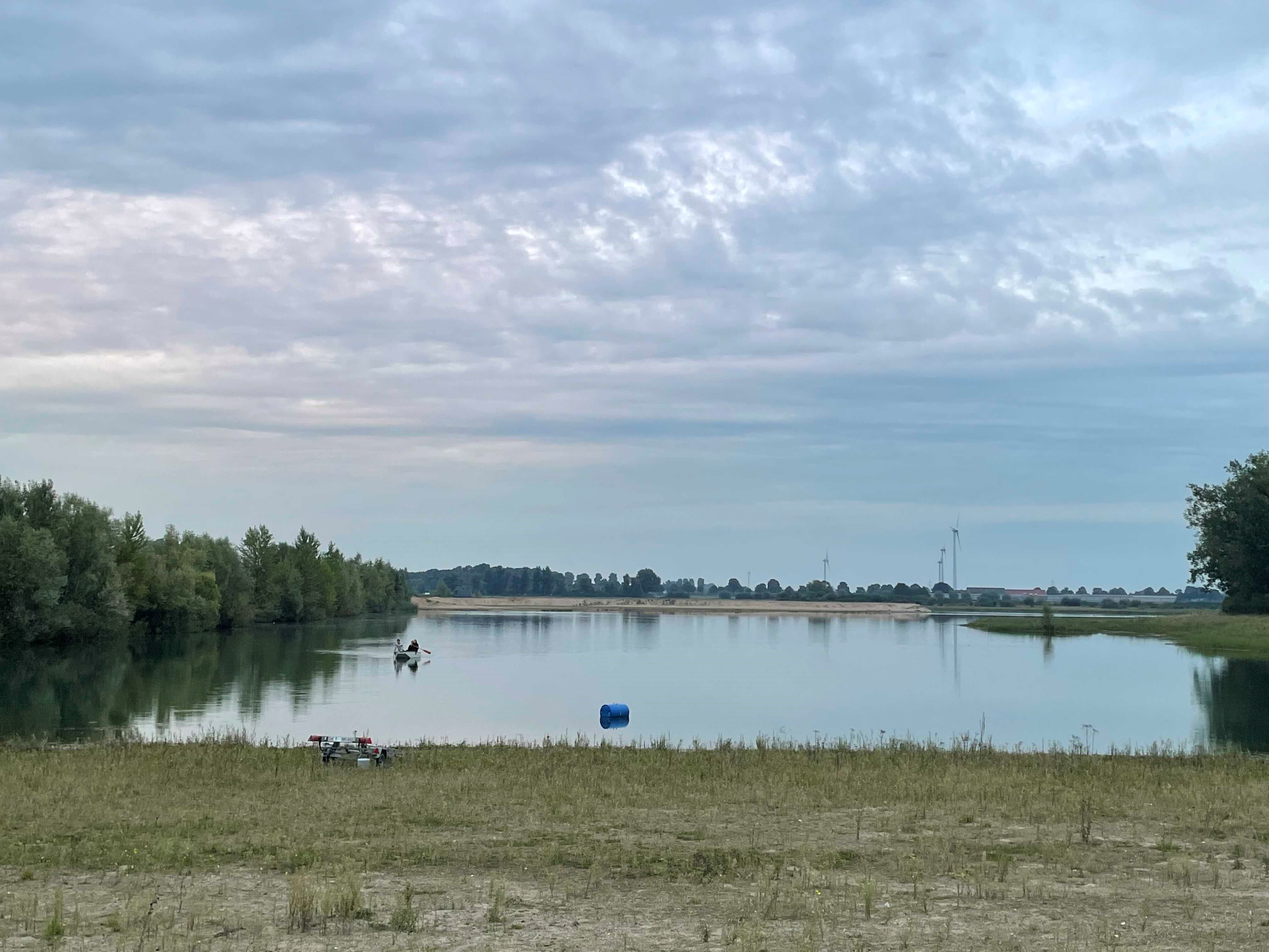
How do freshwater ecosystems react to changing environmental conditions and to what extent can these changes be captured in the dynamics of eco-evolutionary processes? The project REES ('Rhine Eco-Evolutionary System') aims at the long-term assessment of eco-evolutionary interactions in the Rhine as a limnic habitat under consideration of diverse associated water bodies. The study area includes the main flow channel of the Rhine (km 845, North Rhine-Westphalia), as well as Rhine oxbows, Rhine water-fed gravel pit lakes in ecological succession and the surrounding floodplain (Rees, district of Kleve). The Ecological Research Station Rees-Grietherbusch of the Institute of Zoology (University of Cologne) and the Nature Conservation Center District Kleve e.V. form the central infrastructure of the study area. In addition, the Ecological Rhine Station of the University under the direction of Prof. Dr. Arndt is also associated to the project, which enables direct sampling and experimental recording of the main Rhine flow channel. The extensive system of standing and flowing freshwater bodies covered in the REES study site allows the investigation of dynamic variations in biodiversity composition at all levels, from species diversity of communities to genomic diversity at the molecular level of individuals and populations. Along a selected trophic cascade, representative species will be long-term observed and analyzed ecologically and especially also (population-)genomically. The incorporation of ecological genomics is the core aspect of this LTER-D project, which is intended to capture the feedback of evolutionary changes on the ecological system. Population genomic approaches can be used to infer both evolutionary and ecological processes from genomic data. To cope with the dimension of this project, REES is designed as an interdisciplinary collaboration project and currently counts seven project partners with corresponding subordinate projects.
-
A Long Term Ecological Research Program -GUADALQUIVIR_LTER 1997-2022- has been maintained since 1997 at the Guadalquivir estuary. The temporal and spatial evolution of abundances and biomasses of the aquatic community species -plankton, fish, and crustacean- is monitored monthly since 26 years ago (1997 to present). Community data is resolved at different levels of the ecosystem -individuals, populations, and communities- and completed with their corresponding water environmental data -salinity, temperature, turbidity, dissolved oxygen, nutrients, pH, among others- as well as detailed information on trophic structure and biology of the main species. Since 2021 a new Spanish Science Agency project is working together with Guadalquivir-LTER on the socio-ecology of the region, management, and cooperation among different stakeholders.