
bacillariophyceae biomass
Type of resources
Available actions
Topics
Keywords
Contact for the resource
Provided by
Years
Formats
Representation types
-
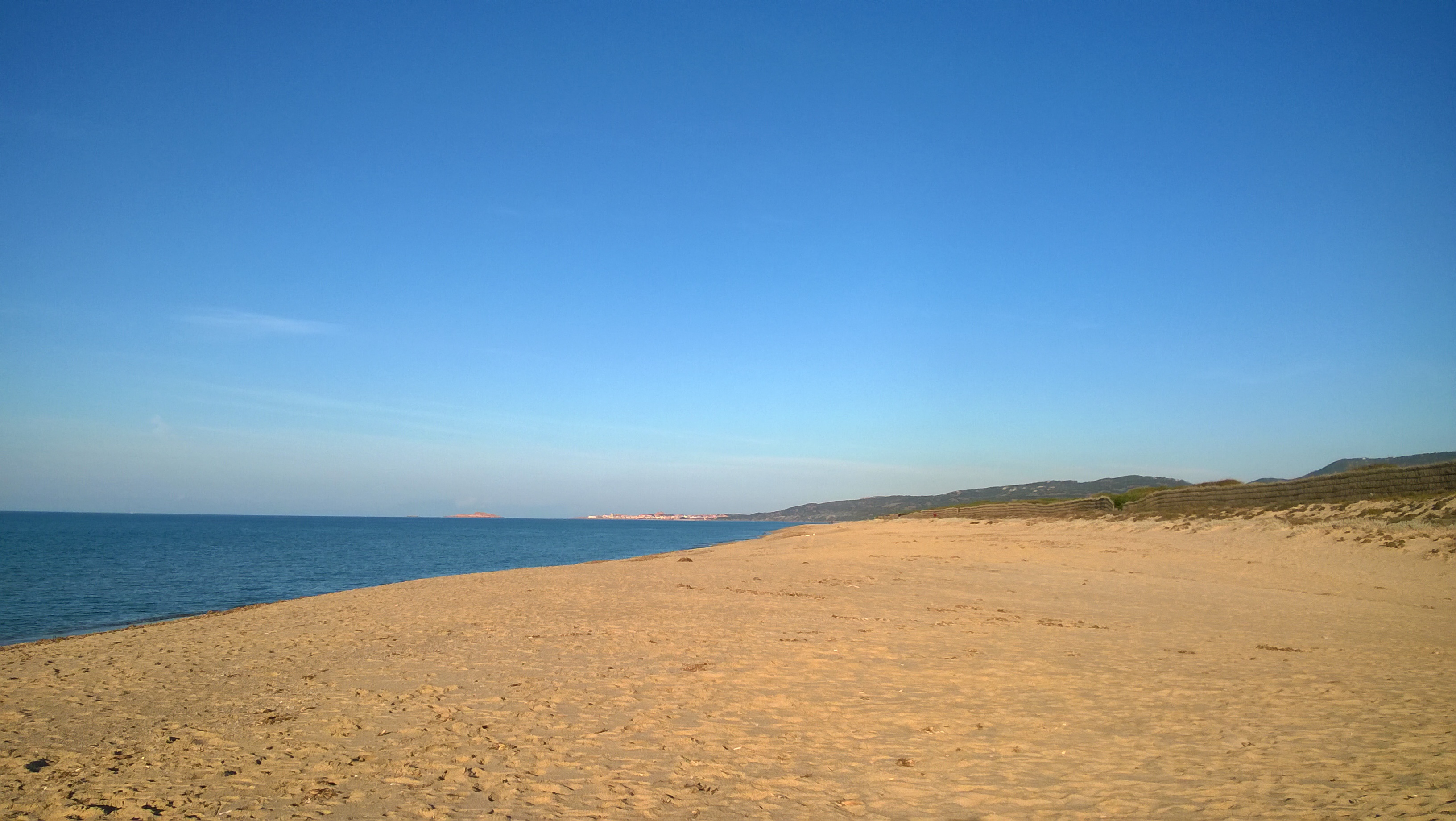
The site is divided into two different types of environments: 1. Coastal marine environments. Marine coastal areas of Sardinia, in particular, the Gulf of Asinara in the north and the Gulf of Olbia in the north-east, affected by different types and intensities of human impact and by the resulting presence of different environmental conditions from the point of view of water quality. 2. Lagoons and coastal ponds. Lagoons and coastal ponds located along the west-central coast of Sardinia, in the Gulf of Oristano. These sites are all important wetlands included in the Ramsar Convention, are IBA (Important Birds Area) and SIC and ZPS. The ownership of the sites is the Regional Government of Sardinia. Fisheries and aquaculture are generally the most important human activities, and there are also educational and recreational activities. They are affected by various environmental issues, mostly related to the process eutrophic.
-
Socio-ecological interactions in ecosystems of mid-altitude mountains The LTSER Zone Atelier Arc Jurassien belongs to LTER-France network and is located in eastern France.The LTSER site Jurassian Arc (ZAAJ stands for Zone atelier Arc jurassien, in French) is designed to promote long-term interdisciplinary research into the environment and ecosystems in relation to society issues. It federates a network of research partnerships around interactions between the environment, society and the dynamics of moutain socio-ecological systems.ZAAJ helps to capitalise on field data and to analyze and promote the results from long-term observation schemes at the interface between ecology, the environment and society. Benefiting of more than 25 years of experience on the issue, accredited by the CNRS Ecology and Environment Institute (INEE) in 2013, ZAAJ is a cluster of five research units totalling 40 researchers.
-
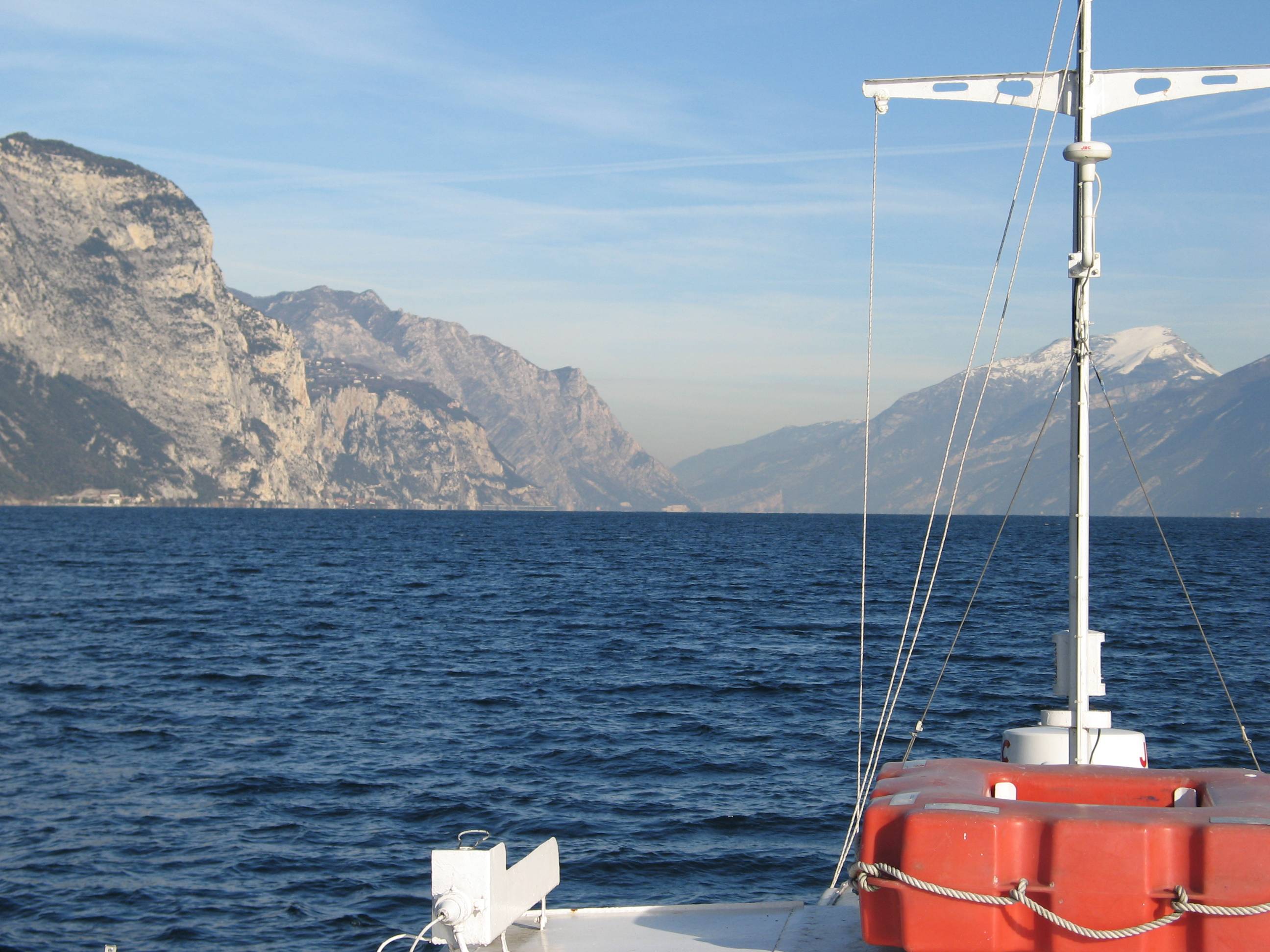
Lake Garda has the largest volume (49 billions of cubic meters) and the most extensive area (368 km2) of Italian lakes. Along with lakes Orta, Maggiore, Lugano, Como, Iseo and Idro, it forms part of the group of deep lakes located south of the Alps in one of the most densely populated and highly productive area of Italy. With a total volume of over 124 billions of cubic meters, these lakes constitute one of the largest freshwater supplies in Europe. Their waters are used for agriculture, industry, fishery and drinking. Moreover, they are an important resource for recreation and tourism thanks to both attractive landscape and water quality. In Lake Garda, sporadic studies were carried out irregularly by various Institutions up to the end of the 1980s. Since the beginning of the 1990s, continuous monthly samplings and measurements were carried out by the Department of Biology of the Padova University (Responsible, Nico Salmaso), with the collaboration of ARPAV. Since 2005 the whole limnological research is performed by the Limnological research group of the Agrarian Institute of S. Michele all’Adige – E. Mach Foundation (S. Michele all’Adige, Trento; coordinator, Nico Salmaso). Since the 1970s, Lake Garda showed an increase in the trophic status, with mean annual concentrations of total phosphorus in the whole water column increasing from ca. 10 µg P/L to 20 µg P/L. In the last 4-5 years of observations, TP showed a stabilisation of the concentrations, around 18 µg P/L. At the community level, annual phytoplankton cycles underwent a unidirectional and slow shift mainly due to changes in the species more affected by the nutrient enrichment of the lake. After a first and long period of dominance by conjugatophytes (Mougeotia) and diatoms (Fragilaria), phytoplankton biomass in recent years was sustained by cyanobacteria (Planktothrix). Other important modifications in the development of phytoplankton were superimposed on this pattern due to the effects of annual climate fluctuations principally mediated by the deep mixing events at spring overturn. Main specific research objectives in this LTER station include: -Changes in the physical, chemical and biological variables at different temporal scales, from months to decades and centuries (paleoecology). Update of the time series of hydrological, climatological and limnological data, whith special attention to lake evolution and effects on biotic communities in relation to ongoing climatic changes. Definition of predictive models. - Identification of the environmental and biotic mechanisms favouring the development of cyanobacteria (including the recent appearence of blooms and new species). Identification of the factors selecting for the development of toxic strains, the production and concentrations of epato- and neurotoxins, and their impact on trophic webs and water usability. The limnological field facilities of the limnological research group include 2 rubber dinghies, 2 multi-parameter probes, a fluoroprobe, a FlowTracker Handheld ADV Sonntek, underwater Quantum sensors, a Kajak corer and an Eckman dredge for sediment sampling. The unit also has several laboratories. These include the hydrobiology and microscopy laboratory, equipped for analyses of basic limnological variables (photosynthetic pigments, dry weight, dissolved oxygen, water turbidity, macrophytes) and of phytoplankton, picoplankton and periphyton samples (microscopes, invertoscopes, fluorescent microscopy, image analysis). The analytical and environmental chemistry laboratory is equipped for analysis of the major ions and nutrients (phosphorus, nitrogen and silica), as well as organic molecules (with focus on cyanotoxins) by means of spectrophotometry, ion chromatography and Liquid Chromatography-Mass Spectrometry (LC-MS). We have access to genetic laboratories equipped with the principal analytical tools, i.e. PCR, electrophoresis, and sequencing. The data collected at monthly frequency since 1991 includes water temperature and oxygen. Phytoplankton was collected since 1993, while complete data recording (including chemistry and zooplankton) begun in 1995.
-
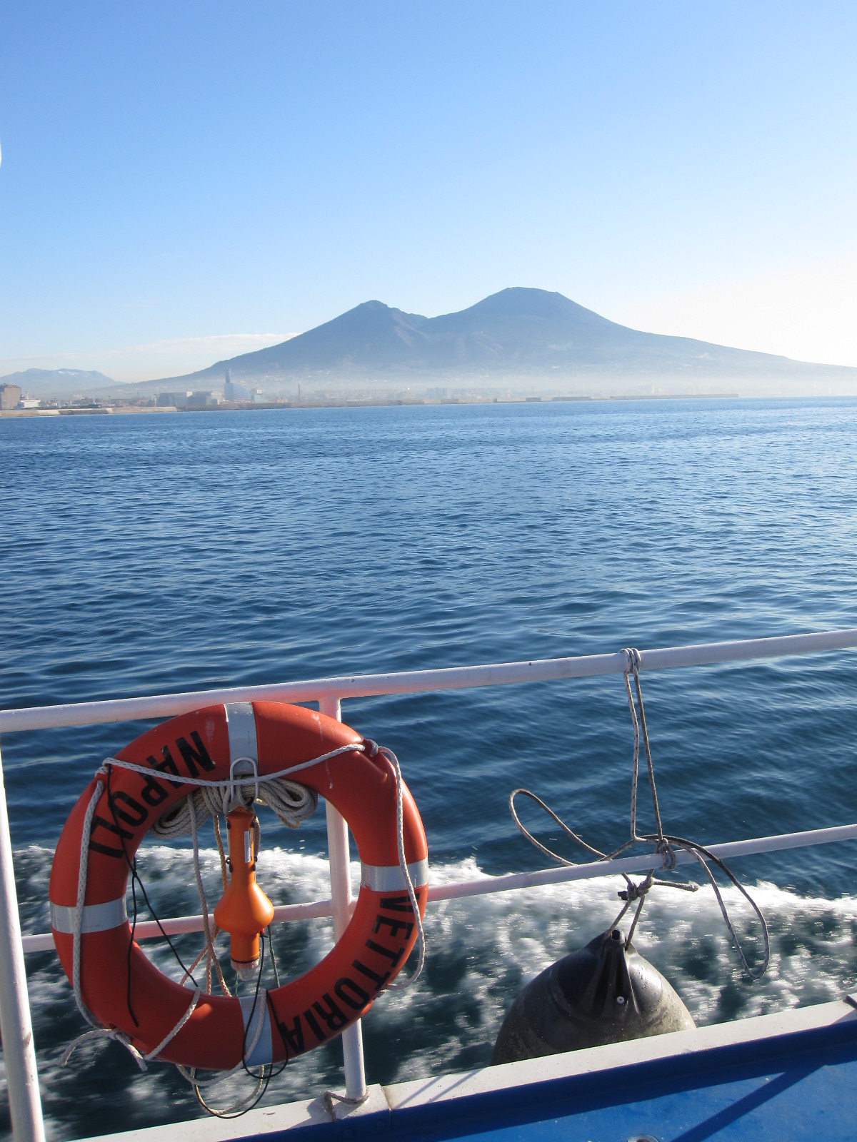
The Gulf of Naples has an extension of ca 870 kmq and an average depth of 170 m. The coastal area, which is inhabited since pre-Roman age, is densely populated and small factories are actively growing. In the Gulf, polluted areas (Sarno river mouth, harbours) coexist with pristine areas, including some Protected Marine Areas. Research on marine organisms has started before since the beginning of 1800, but first ecological studies date back to the 70ies of the last century. The long-term monitoring station (LTER-MC, 40°49’N, 14°15’E) is located 2 nm off Naples city (depth ca 75 m) at the boundary between eutrophied coastal waters and oligotrophic Tyrrhenian waters. Larger areas of the Gulf have been sampled occasionally in several cruises. The MC data set represents one of the few plankton time series available in the Mediterranean Sea, and it is certainly one of the longest.
-
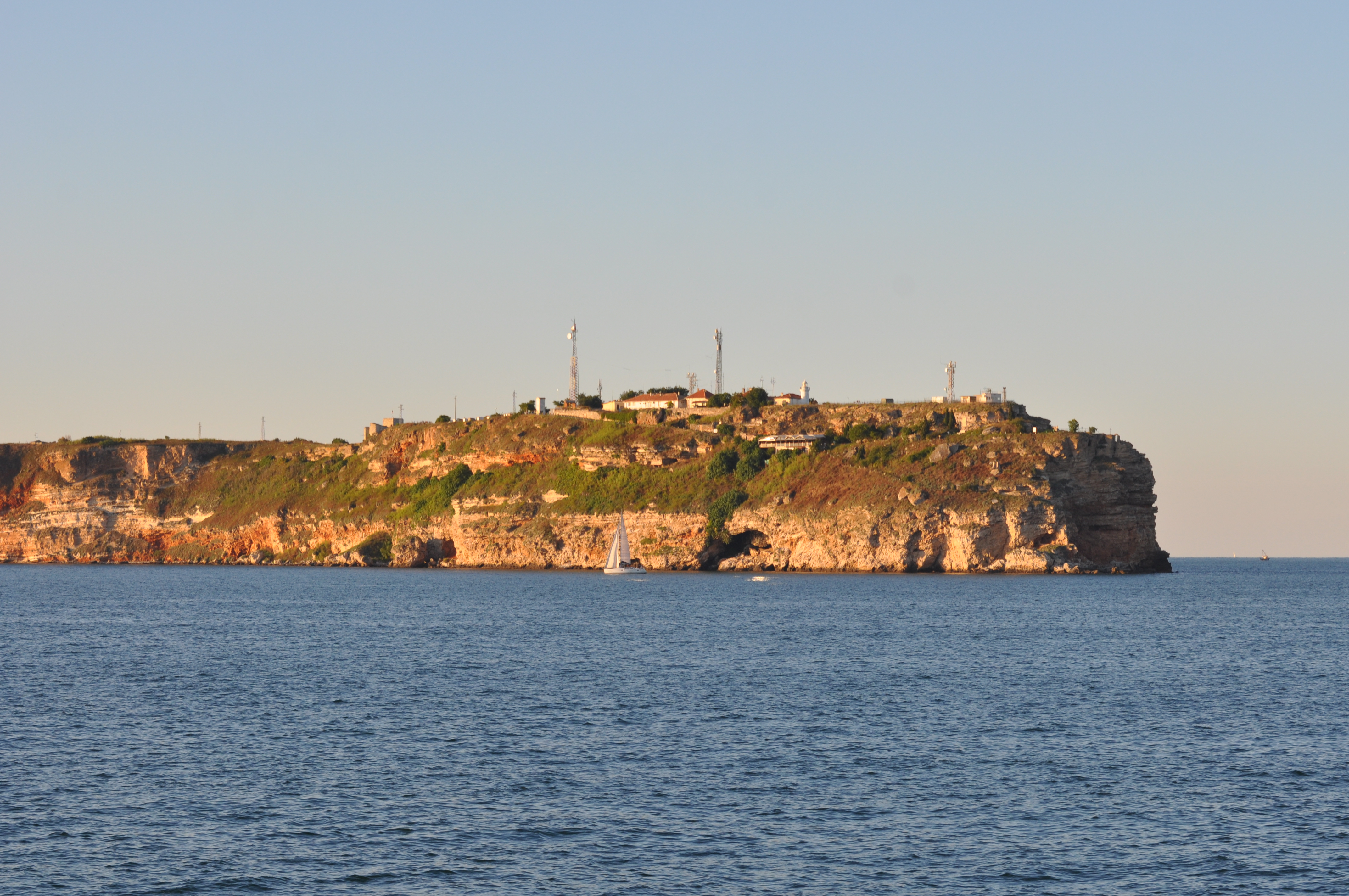
Black Sea site includes three areas: cape Kaliakra, cape Galata and Varna Bay, and Koketrays Sand bank (only for macrozoobenthos). They were chosen on the base of historical data availability and eutrophication/pollution impact. Kaliakra marine area is influenced by eutrophication due to mainly the Danube river inflow. The local anthropogenic impact in the region is insignificant. It is a nature reserve. Cape Galata and Varna Bay sites are under the indirect impact of Varna Bay current and the system Beloslav lake-Varna lake - a cascade introducing nutrients and pollutants of industrial (chemical industry), agricultural, sewage origin and nearby ports. Koketrays Sand bank is an unique benthic habitat. The coordinates of the selected areas are as follow: c. Kaliakra: 28.416667 43.366667 c. Galata: 27.933889 43.186111 Varna Bay: 28.166667 43.166667 Koketrays bank: 27.888889 42.635556
-
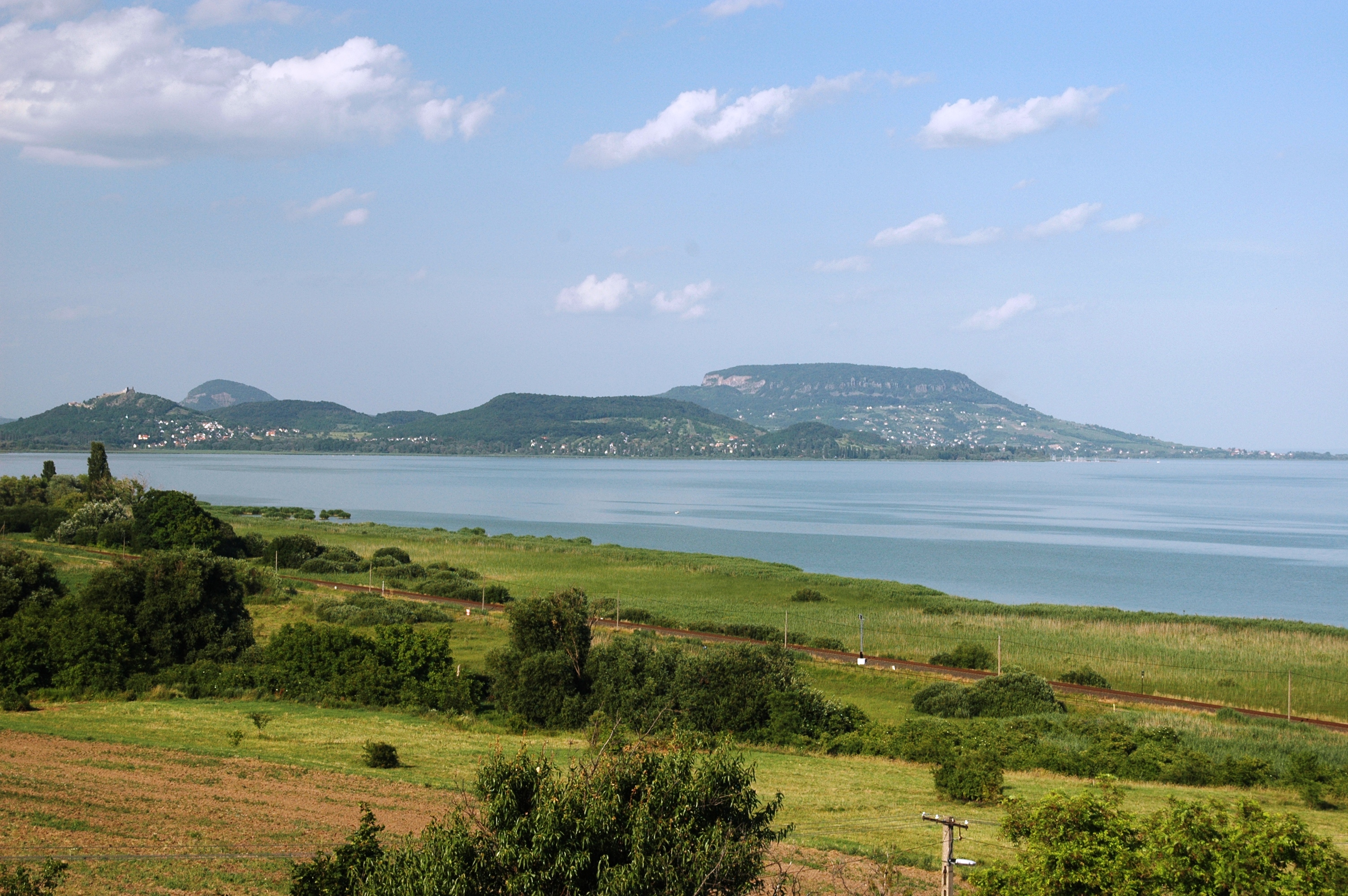
The Balaton LTSER Platform is dedicated to the study of the largest shallow lake in Eastern Europe, situated in the mid-western part of Hungary. The site, which is a popular holiday resort, consists of the lake and its watershed. Lake Balaton went through considerable changes in trophic state during the past decades. After a period of anthropogenic eutrophication from the late 1960s until the mid '90s, restoration measures aimed at reducing the nutrient load reaching the lake led to gradual reoligotrophication. The Balaton Limnological Institute of the MTA Centre for Ecological Research, situated on the Tihany peninsula, had an important role in improving the water quality and the ecological status of the lake by providing sound scientific knowledge for the decision-makers and the general public.
-
The Darss-Zingster Bodden is a tideless flat brackish inner coastal water of the Southern Baltic Sea. It consists of 4 consecutive water basins connected by narrow streams. This forms a gradient of salinity from 1-14 PSU and a eutrophication gradient.
-
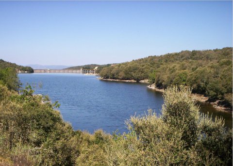
In Sardinia, the second largest Mediterranean island, about 90% of the drinking water derives from ~40 artificial lakes. Data collected on a multidecadal scale have shown that these lakes are largely eutrophic and dominated by cyanobacteria. Since the late 1980s, the management of Sardinian artificial lakes has been oriented toward a multiannual approach to address prolonged droughts and to limit, as much as possible, water level fluctuation and its adverse ecological consequences. The water management strategy carried out by the Regional Agency Ente Acque della Sardegna (ENAS) aims to store water from the wet to the dry season at intrannual and interannual scales and to move waters from one basin to another for different needs. The parent site consists of six artificial lakes and is part of the LTER-Italy since its inception. The site has always been managed by the Department of Architecture, Design and Urban Planning of University of Sassari, in close collaboration with the Sardinian Water Authority for lakes (ENAS - ENte Acque della Sardegna). The six lakes are located in north-central part of the island and are being studied for over thirty years. Those are: • Lake Bidighinzu (IT10-001-A) • Lake Cedrino (IT10-002-A) • Lake Cuga (IT10-003-A) • Lake Monte Lerno (IT10-004-A) • Lake Sos Canales (IT10-005-A) • Lake Temo (IT10-006-A) Since 2006, in all the six LTER Sardinian reservoirs, is operating a Real Time Remote Monitoring System. The project aims to provide a tool to optimize the management of the resource, giving the chance to chose the water layer along the vertical profile with the best quality for the potabilization. The data are acquired by mean of a probe equipped with sensors to measure temperature, pH, conductivity, dissolved oxygen and chlorophyll a. These data are verified and combined with those obtained using traditional survey methods. A long-term data series is available for each lake, with high-frequency of measurements and samplings regarding the most important environmental and biological variables.
-
The Balaton LTSER Platform is dedicated to the study of the largest shallow lake in Eastern Europe, situated in the mid-western part of Hungary. The site, which is a popular holiday resort, consists of the lake and its watershed. Lake Balaton went through considerable changes in trophic state during the past decades. After a period of anthropogenic eutrophication from the late 1960s until the mid '90s, restoration measures aimed at reducing the nutrient load reaching the lake led to gradual reoligotrophication. The Balaton Limnological Research Institute, situated on the Tihany peninsula, had an important role in improving the water quality and the ecological status of the lake by providing sound scientific knowledge for the decision-makers and the general public.
-
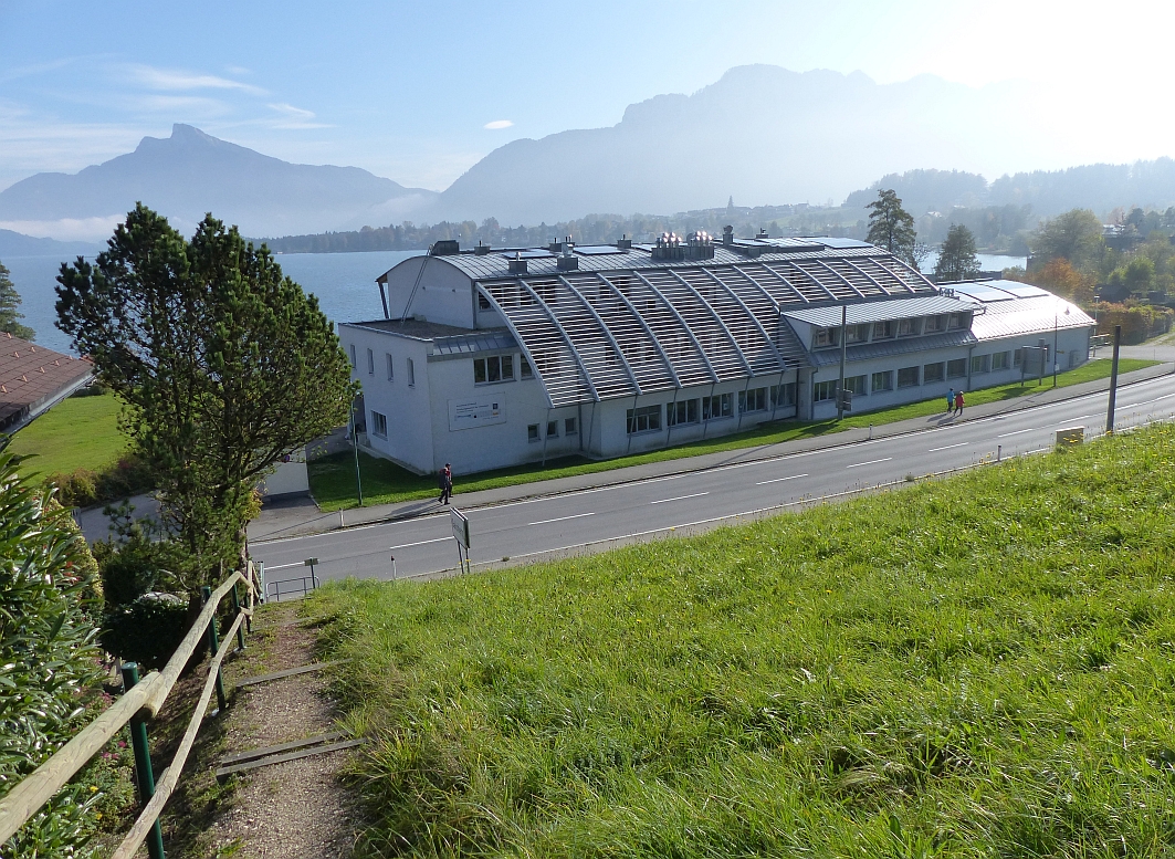
The Mondsee Limnological Institute site is a Natura 2000 area in Upper Austria. Connected to the Research Institute for Limnology, Mondsee of the University of Innsbruck this site has a long tradition of data sampling. The LTER Site Mondsee in the Salzkammergut lake district is of high ecological, socio-economic and touristic importance. In the 1960s and 1970s the lake underwent a period of eutrophication, followed by a period of re-oligotrophication due to sewage water treatment in the 1980s. The lake has been monitored since the 1950s, mainly by the Research Institute for Limnology, Mondsee of the University of Innsbruck and the Institute for Water Ecology, Fisheries and Lake Research of the Federal Agency for Water Management. Long-term data sets are available for physico-chemical parameters (temperature, oxygen, pH, conductivity), nutrients, and phytoplankton.