
base saturation
Type of resources
Available actions
Topics
Keywords
Contact for the resource
Provided by
Years
Formats
Representation types
-
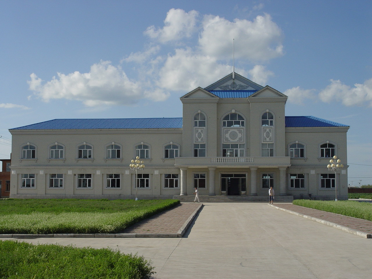
Hailun Agricultural Ecological Station located in Hailun city, Heilongjiang province, was established in 1978, briefly named Hailun Agro-ecosystem Station. The main research fields at that time were the optimal management of agriculture and advanced technology utilization in agricultural production. Chinese ecosystem research network(CERN) established in 1988 selected Hailun station as one of its components. The objective of Hailun station was to study the agro-ecosystem and sustainable development of agriculture in black soil zone in Northease China. Also, Hailun station was considered as one of components, when national field research net was built in 2005.
-
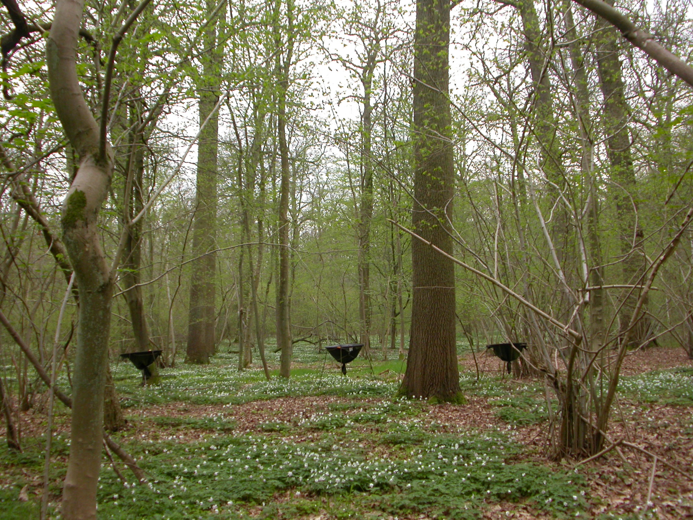
ICP forest monitoring plots: 0.5 ha of fenced stand + 20 m buffer area. Managment, data collection and reserch activities carried on by catholic university of Louvain (UCL)
-
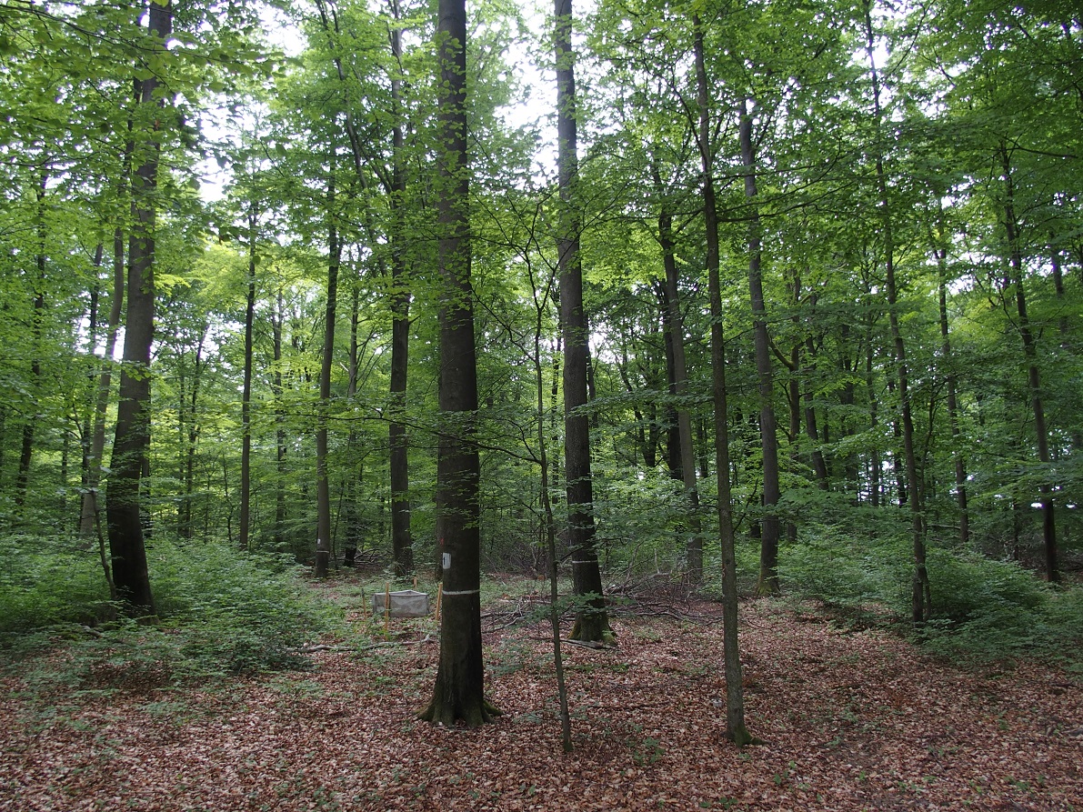
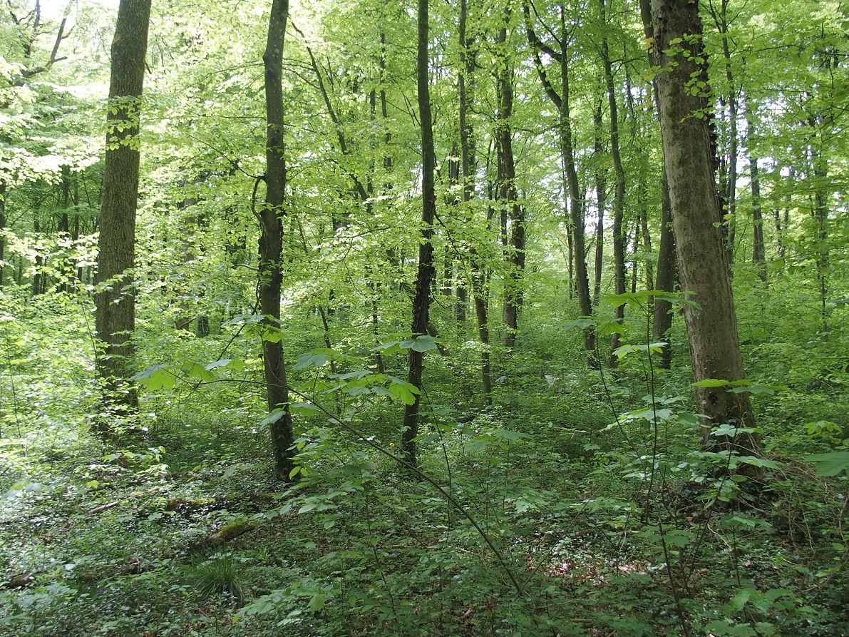
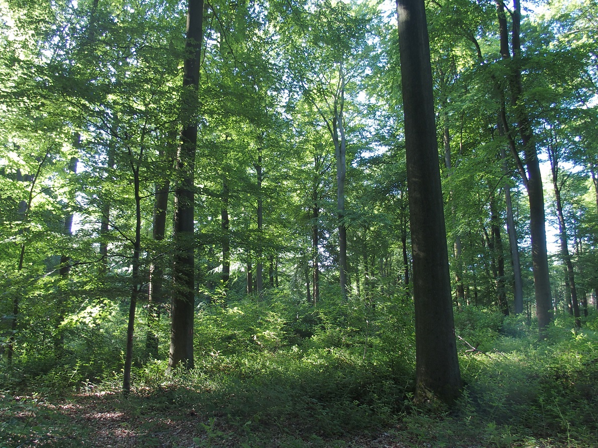
The Forest of Meerdaal is situated on the Belgian loess belt about 25 km south-east of Brussels. It is an ancient woodland site, previously managed as coppice with standards, well known history (up to the middle ages). It is managed as multifunctional forest containing strict forest reserves with dense sampling grid (measured every decade). its proximity to the university make it an ideal research subject. Over the years many different studies have been conducted and documented.
-

Huai Ma Nai is a small agricultural catchment (93 ha) of northern Thailand, 60 km from the city of Phrae, in a sloping land environment. The objective is to the impacts of land use changes, from mung bean and soya bean to maize, upon hydrological and sedimentary budgets. Agricultural practices are very intensive, based on high quantities of fertilizers, herbicides and pesticides, and mechanized cultivation. The mean slope is 12.9%%. Soils are thin Alfisols and Ultisols with sandy clay loam to clayey texture, high coarse fragment content, low pH, high bulk density and low-medium cation exchange capacity. Monitoring devices include an automatic meteorological station since 2001, and weirs and flume to monitor discharge from nested catchments, suspended sediment and bedload. More information is available on https://mtropics.obs-mip.fr/ and in the following paper: Valentin, C., et al., 2008. Runoff and sediment losses from 27 upland catchments in Southeast Asia: Impact of rapid land use changes and conservation practices. Agric. Ecosyst. Environ. 128, 225–238. https://doi.org/10.1016/j.agee.2008.06.004
-
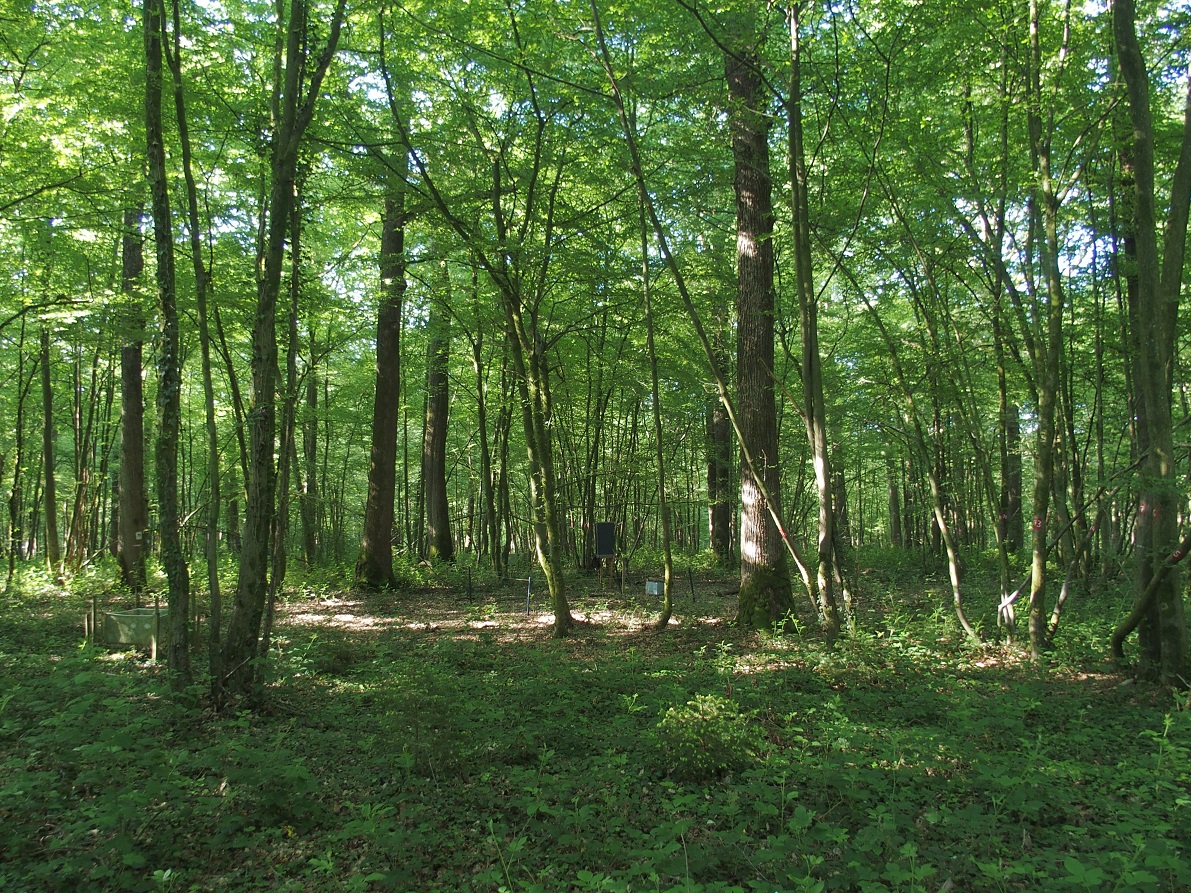
ICP forest monitoring plots: 0.5 ha of fenced stand + 20 m buffer area. Managment, data collection and reserch activities carried on by catholic university of Louvain (UCL)
-
Plynlimon is at the headwaters of the Rivers Severn and Wye. The infrastructure at Plynlimon consists of 10 instrumented research catchments representing different land use options on the same geological parent material. It is the UK’s Critical Zone Observatory, part of the EU and global network of CZOs and is an ExpeER site. The infrastructure records high temporal resolution river flow and meteorological data (40 year data record) and stream water and precipitation chemistry for cations, anions, trace metals, nutrients, pH and alkalinity (30 year data record) and some data for suspended sediment. The site has an extensive spatial data library including topography, digital terrain model (DTM), soils, geology and vegetation/land-use available, open access, through the Environmental Information Data Centre (https://catalogue.ceh.ac.uk/documents/91961a0f-3158-4d00-984d-91eb1e03e8bd). Sub sites in the catchments represent a range of upland management types: mature/clear cut/replanted conifer forest; acid grassland; eroding peatland; improved grassland.Samples analysed for a wide range of major, minor and trace components. Bulk precipitation and cloudwater chemistry is also measured at one location.
-
ICP forest monitoring plots: 0.5 ha of fenced stand + 20 m buffer area. Managment, data collection and reserch activities carried on by catholic university of Louvain (UCL)
-
ICP forest monitoring plots: 0.5 ha of fenced stand + 20 m buffer area. Managment, data collection and reserch activities carried on by catholic university of Louvain (UCL)
-
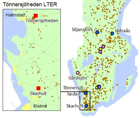
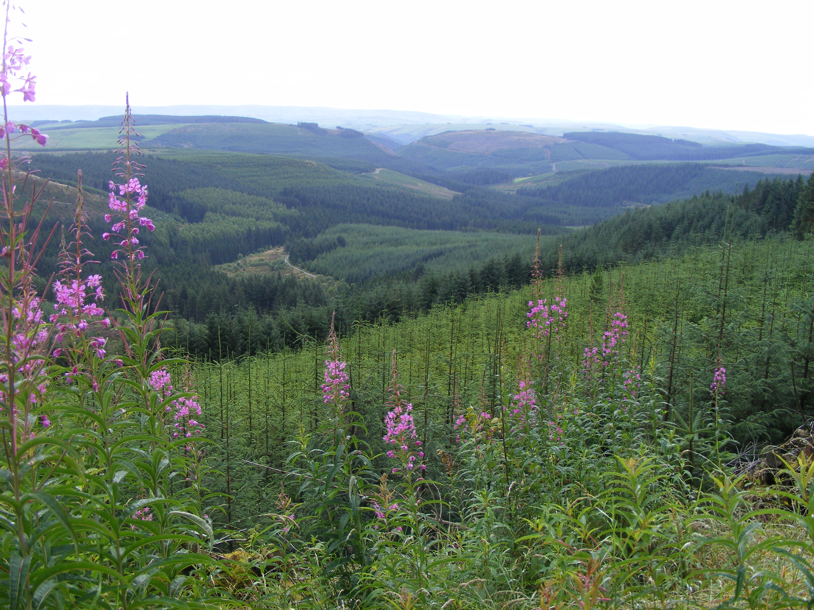
Tönnersjöheden and Skarhult experimental forests are situated in the nemoral/nemo-boreal zone closed to the Atlantic sea in South Sweden. Tönnersjöheden (1143 ha) was established as an experimental forest in 1923 with the original aim of studying ecosystems in transition from low productive broad-leaved forests and open Calluna heath-lands to conifer dominated forests. Skarhult (180 ha) was opened as an experimental forest in 1989 with a main focus on management and ecology of broad-leaved forest stands. Forests at Tönnersjöheden are dominated by old growth broad-leaved stands with long continuity, first and second rotations of planted coniferous stands and a number of planted stands with exotic tree species. Forests at Skarhult are dominated by naturally regenerated and planted pure and mixed broad-leaved forest stands of European beech (Fagus sylvatica L.), common oak (Quercus robur L.) and ash (Fraxinus excelsior L.). Research and monitoring activities cover a broad range of basic and applied subjects in the field of forest and forest related environmental sciences. The experimental forests are well-documented and well-described concerning history, climate, soils, vegetation and forest stands.
-
Soil data of LTER Zöbelboden, Austria. Soil inventory is carried out since 1992 on regular positions (approx 65) in the catchment measuring soil chemistry. Soil water chemistry is measured in forest plots (2-3) using lysimeter sampling and analyses on a bi-weekly to monthly basis. Soil hydraulic characterizations exist for the major soil types in the catchment. Soil CO2 and N2O respiration data is available for some years