
birds abundance
Type of resources
Available actions
Topics
Keywords
Contact for the resource
Provided by
Years
Formats
Representation types
-
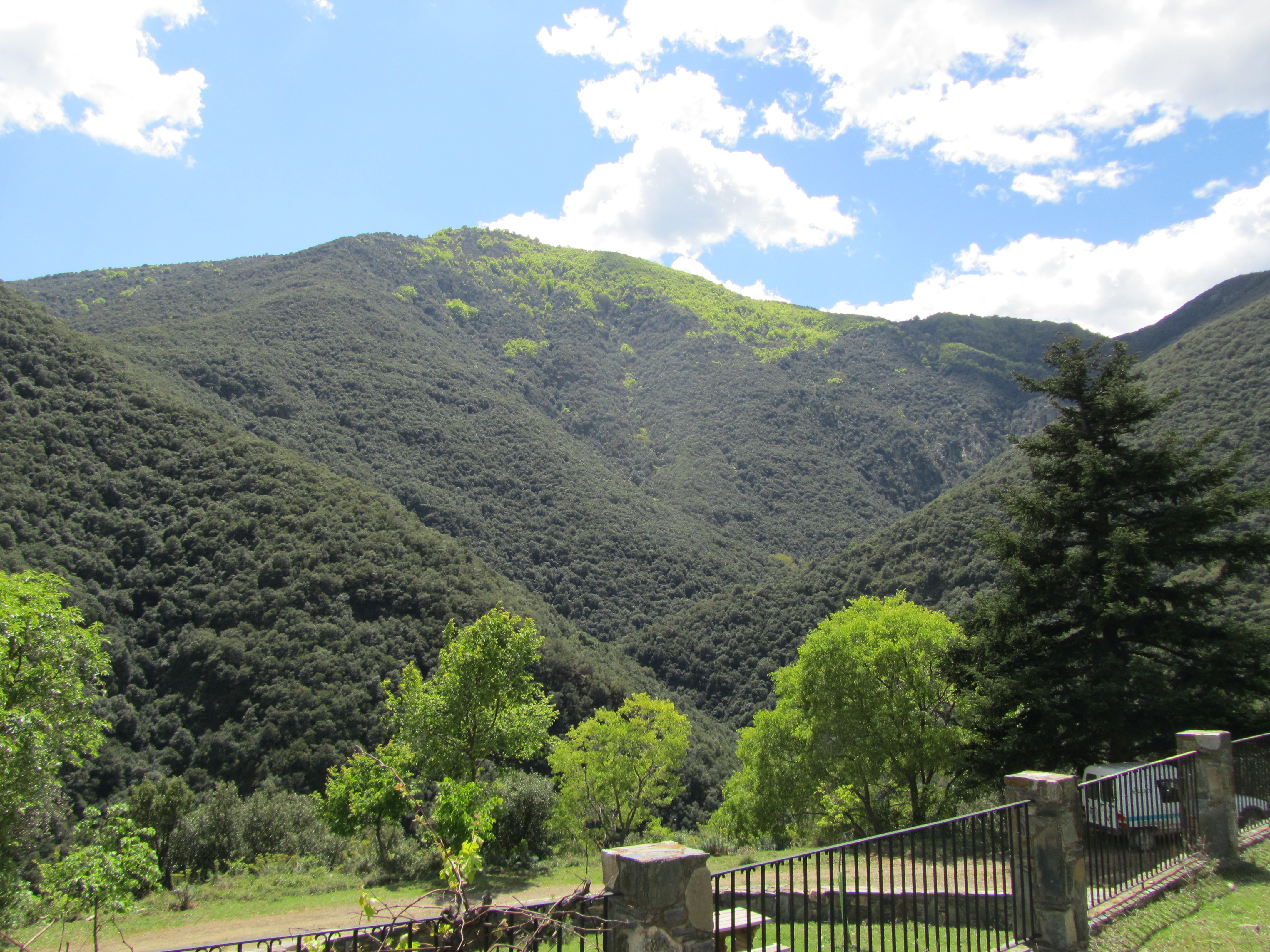
The Montseny massif is situated 40 km NNE from Barcelona. The mountains cover about an area of 400 km2, about 80% of which is protected as Natural Park. Its highest altitude is 1707m asl. Climatically and biogeographycally Montseny lies in the northern boundary of the Mediterranean region. It is mostly forested, except at the upper reaches. Vegetation shifts altitudinally, with forests of pine, evergreen holm oak and beech, and heathlands and grasslands dominating in this order as altitude increases. The relief is steep and the lithology consists mostly of metamorphic phyllites, schists and granodiorites.
-
PELD-TMSG: Cerrado ecosystems in the region of the Triângulo Mineiro and Southeast of Goiás - Brazil
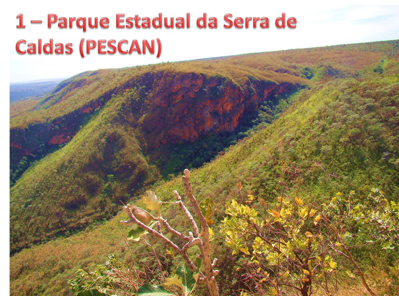
The site consists of 13 Cerrado fragments formed by five conservation areas and 8 remants of semideciduous forests. All these areas are within the basin of the Rio Paranaiba and thus share similar ecological conditions. These areas have similar human interference processes with already traditional agricultural use, impacts of hydroelectric facilities and recent intensification of the urbanization process.
-
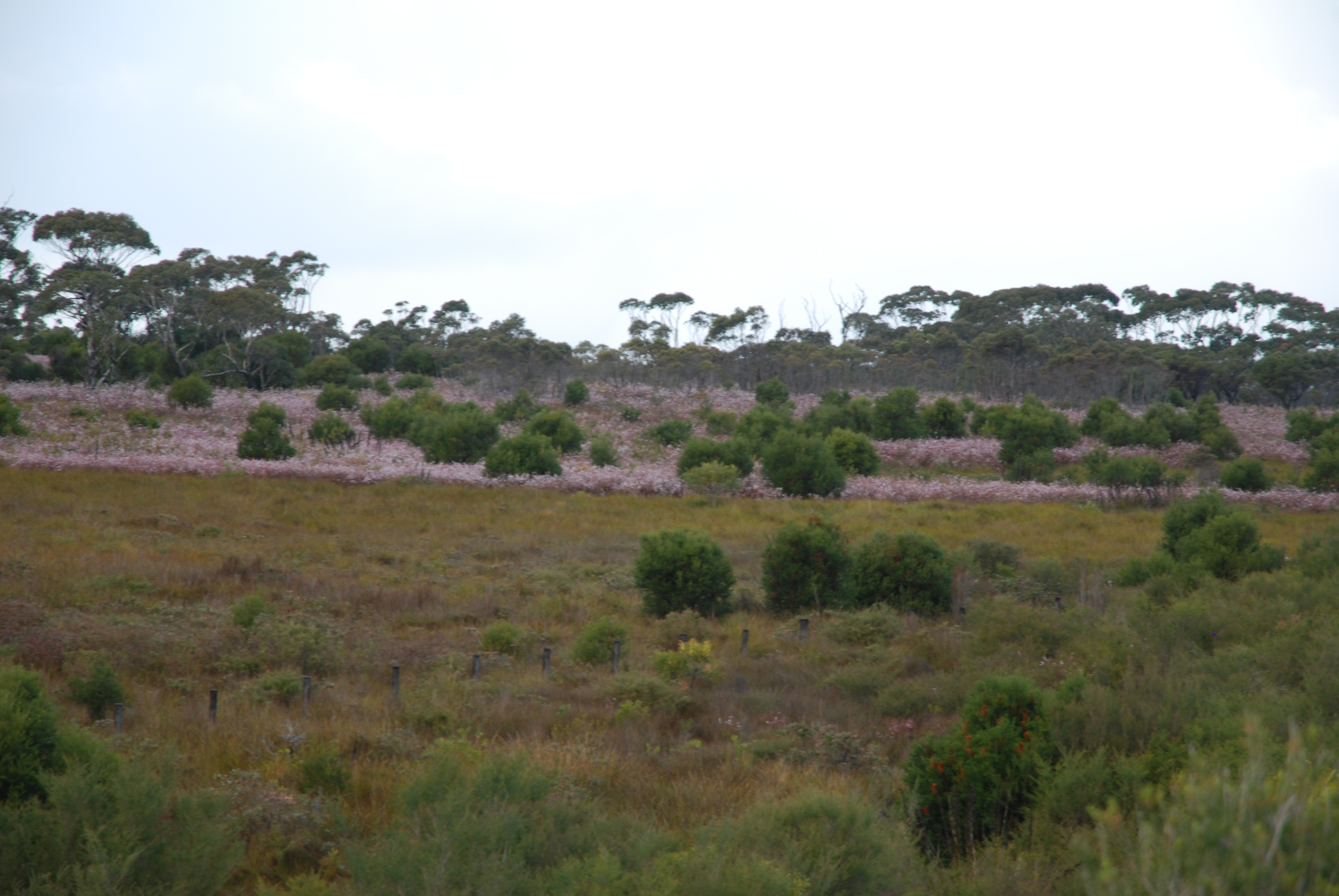
The Desert Uplands Plot Network is located in the Northern Desert Uplands of Queensland, Australia with each of the 50 (originally 60) bird monitoring plots 1 ha in size, and located at least 1 km from any other site, 500 m from any water point and 50 m from the nearest access track. As at June 2016, temporal visits have been conducted in 2004, 2005, 2006, 2008, 2013 and 2014. Between 2012 and 2018 the Desert Uplands Plot Network was a member of Long Term Ecological Research Network (LTERN), Australia, a facility of the Australian Government's Terrestrial Ecosystem Research Network (TERN).
-
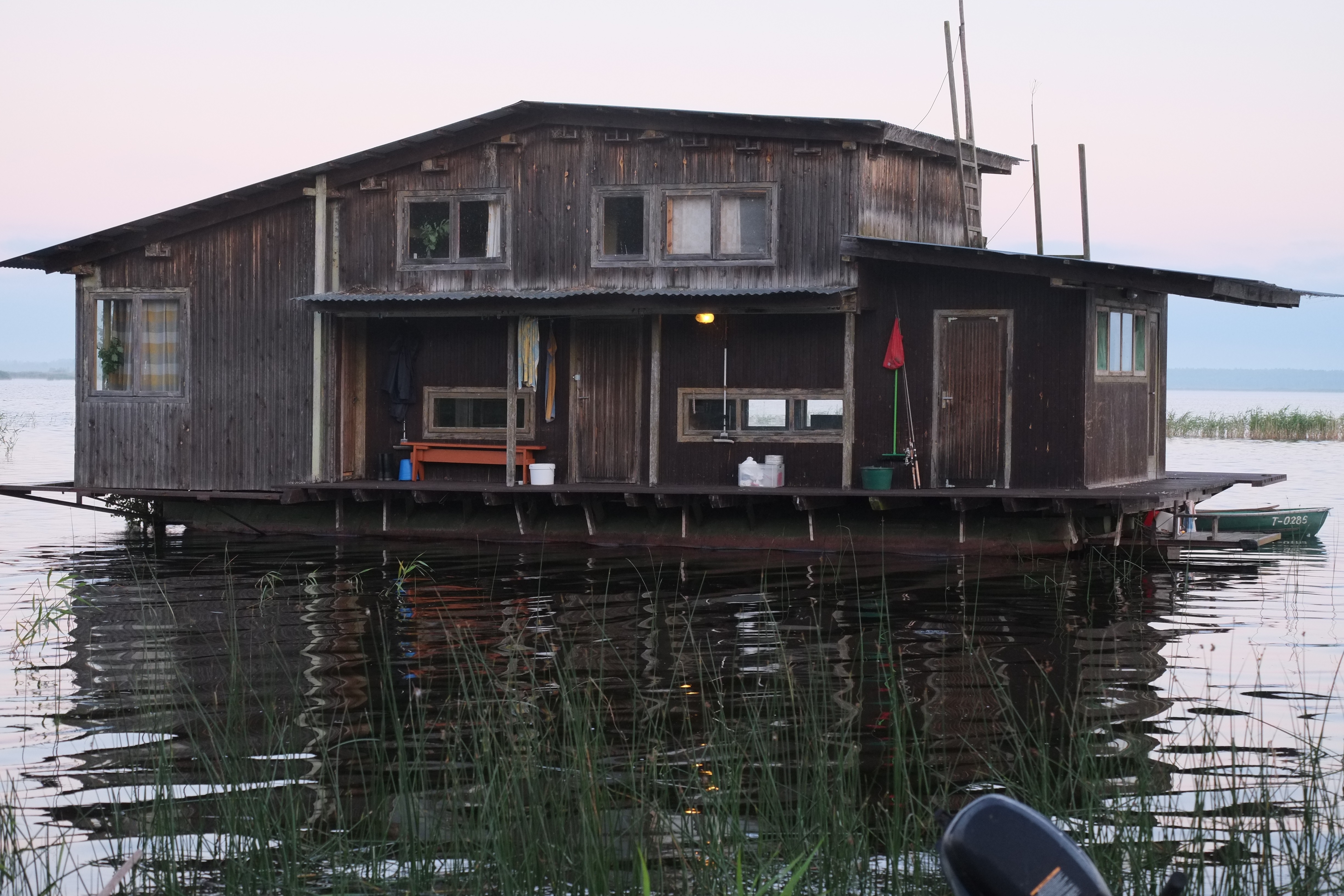
Lake Engure drainage area (644 sq.km) includes the Lake which is a remnant of Litorina sea formed about 4000 years ago. Part of the territory is the Lake Engure Nature Park, the Ramsar site including unique inland and marine wetlands. Most of the drainage area is covered by pine forests, but there are also large areas of marshlands, meadows, deciduous forests, dunes and agricultural lands. Avifauna lists 186 species, vascular plants – 844 species. 44 species of birds, 5 fish species and 3 plant species are protected at European level, 23 habitats are in EU Habitat Directive. The ecosystems of the area have been changed by different human activities historically well documented. The most important activities in ancient times included regulation of water level, hay making, pasturing, hunting, and fishery. The traditional settlement type was the former fishermen's village, which is characterized by its linear structure along the seashore and farmsteads inland. During the past decade, such settlements have been subject to a wave of summer cottage, second home and guest house construction. The agriculture and main industry (fishing and fish processing) has sharply declined. Nowadays, the highest number of employees is in the service sector (wholesale, catering, tourism and leisure industries). It sets a new kind of pressure to the ecosystems of the region.
-
Regular monitoring activities of the Park's fauna has so far comprised 3 bird species: the golden eagle, peregrine falcon and capercaillie, and 3 mammal species: the Tatra marmot, the chamois, and the brown bear. GIS data layers collected on marmot colonies, preferred areas of occurrence of the chamois (and its range above tree line), as well as roaming areas and occurrence of brown bears (as well as of bear-human conflict hotspots). For birds, spottings, areas of occurrence, number of nesting individuals were monitored. This monitoring will be continued and expanded (to include more species of Community Importance) in a new, currently implemented Park monitoring regime under the new Park Protection Plan (to enter into force soon, as of August 2016).
-
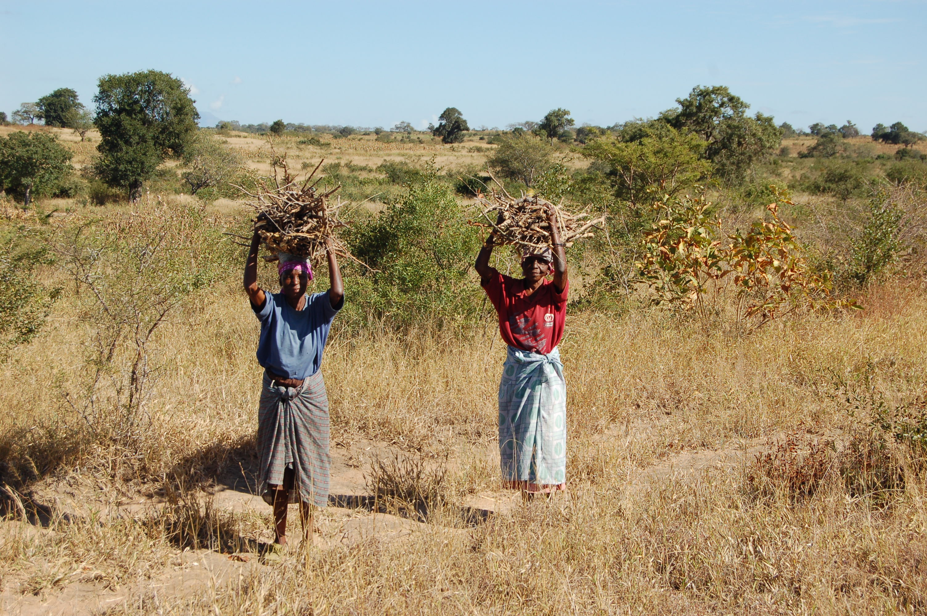
A developing long-term research site, designed to determine the effects of harvesting of natural resources (particularly fuelwood) and domestic livestock on the biodiversity and ecosystem functioning of a savanna ecosystem.
-
PLANNED (as of August 2016) regular monitoring activities of the Park's Natura 2000 habitats are specified in the new Park Protection Plan (currently in the final project stage, pending final approval and implementation resolution by the Minister of Environment). They'll altogether comprise 19 bird species, 8 mammal species (incl. 2 sp. of bats, wolf, brown bear, lynx, Tatra marmot, chamois), 2 amphibian species and 2 invertebrate species (beetles). Methodology-wise, depending on the species, they'll be conducted as 1 to several monitoring rounds/inspections performed annually or at several-year intervals, in most cases in a season-dependent manner, and will involve various, species-specific methods (field observations, tracking, transect counts, site inspection, counting/inventory of nests, colonies or dens/burrows, analysis of habitat area or condition, genetic sampling, etc. etc.). For the purpose of the Park's Protection Plan, nature inventory and assessment of the current state of conservation of the above-mentioned species was conducted and indicated by FV or U1 (no U2s or XXs, luckily) with respect to 3 parameters: population, habitat, future prospect - plus the cumulative value. The data may be available at the Park.
-
The monitoring of bird populations focused on wetland species. It included breeding bird surveys and bird migration (bird ringing) of species most common in the reed belt of Lake Neusiedl, and meadows surrounding the soda pans. Bird surveys of Biological Station Lake Neusiedl refer mainly to the INTERREG Project of “Vogelwarte 2” and were in close collaboration with the National Park “Neusiedlersee – Seewinkel” and “BirdLife Österreich”.
-
Managed realignment in the brackish part of the Scheldt Estuary. Realised since April 2004. A formal sand stock was removed to allow tidal influence.
-
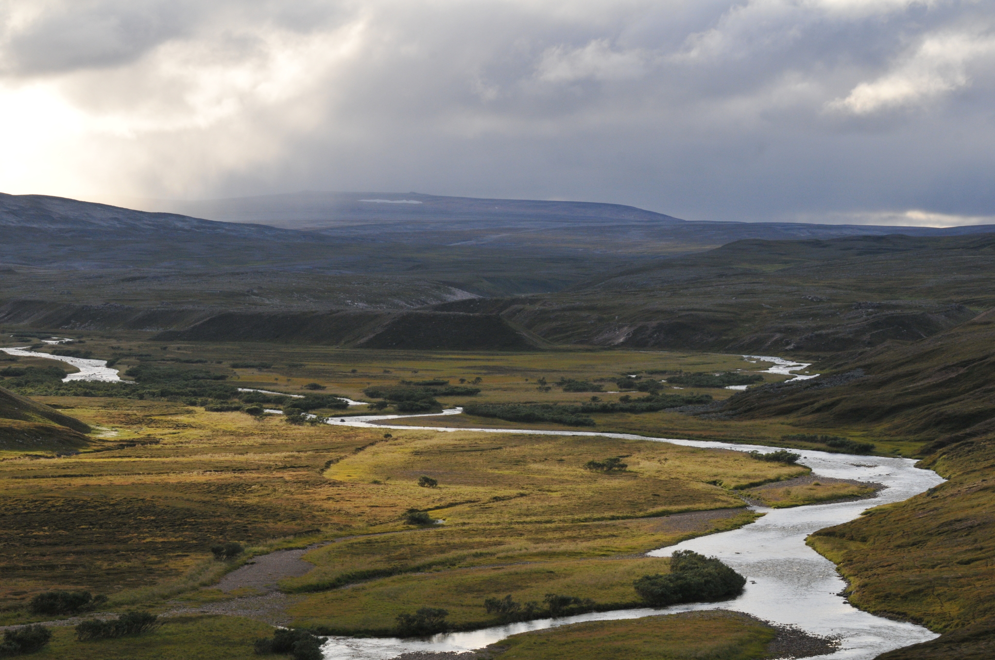
COAT Varanger is a subsite under the COAT platform located mainly on the Varanger penninsula in the low arctic. Long-term monitoring and research on tundra ecosystems are conducted on this site.