
body length
Type of resources
Available actions
Topics
Keywords
Contact for the resource
Provided by
Years
Formats
Representation types
-
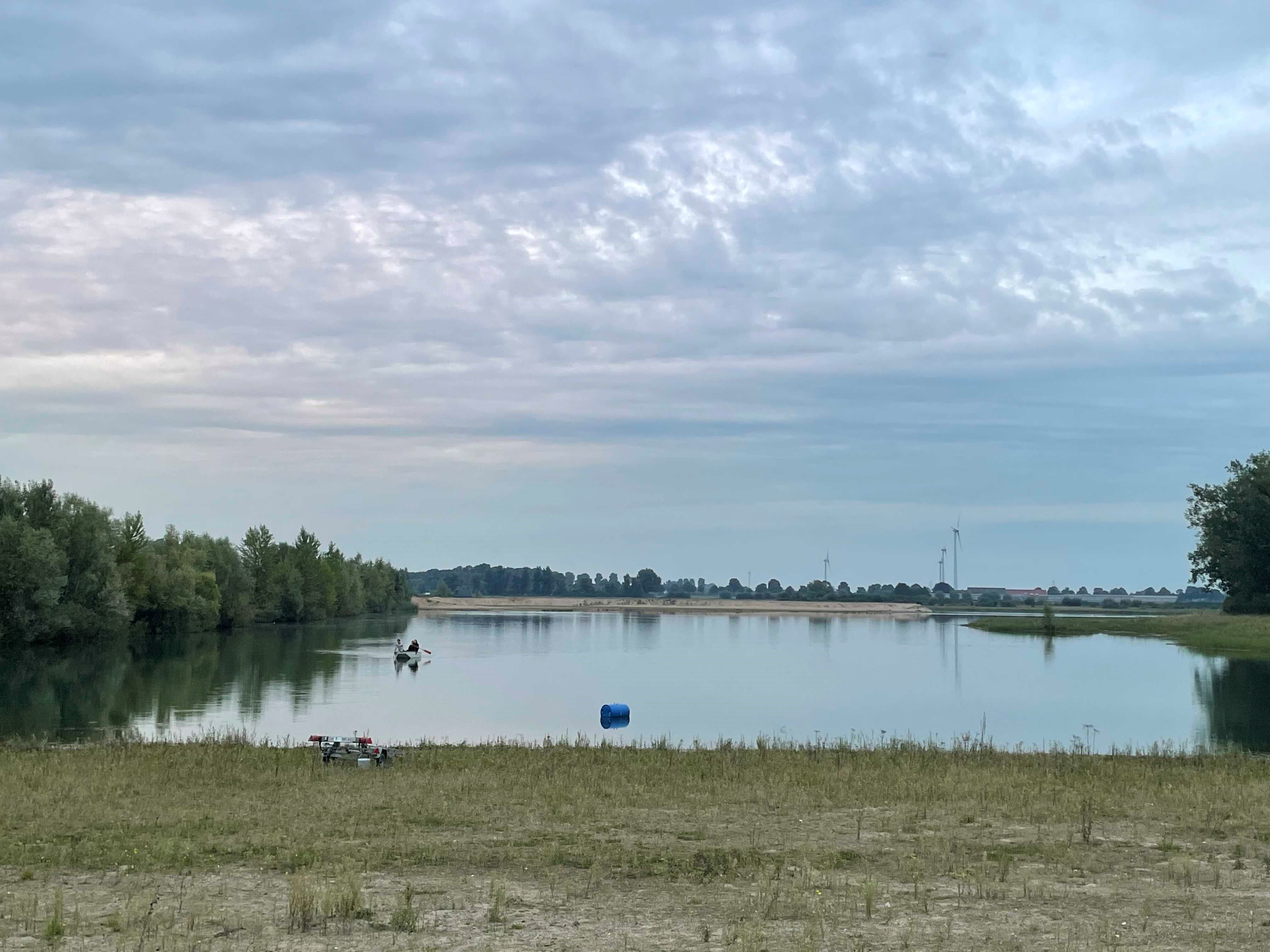
How do freshwater ecosystems react to changing environmental conditions and to what extent can these changes be captured in the dynamics of eco-evolutionary processes? The project REES ('Rhine Eco-Evolutionary System') aims at the long-term assessment of eco-evolutionary interactions in the Rhine as a limnic habitat under consideration of diverse associated water bodies. The study area includes the main flow channel of the Rhine (km 845, North Rhine-Westphalia), as well as Rhine oxbows, Rhine water-fed gravel pit lakes in ecological succession and the surrounding floodplain (Rees, district of Kleve). The Ecological Research Station Rees-Grietherbusch of the Institute of Zoology (University of Cologne) and the Nature Conservation Center District Kleve e.V. form the central infrastructure of the study area. In addition, the Ecological Rhine Station of the University under the direction of Prof. Dr. Arndt is also associated to the project, which enables direct sampling and experimental recording of the main Rhine flow channel. The extensive system of standing and flowing freshwater bodies covered in the REES study site allows the investigation of dynamic variations in biodiversity composition at all levels, from species diversity of communities to genomic diversity at the molecular level of individuals and populations. Along a selected trophic cascade, representative species will be long-term observed and analyzed ecologically and especially also (population-)genomically. The incorporation of ecological genomics is the core aspect of this LTER-D project, which is intended to capture the feedback of evolutionary changes on the ecological system. Population genomic approaches can be used to infer both evolutionary and ecological processes from genomic data. To cope with the dimension of this project, REES is designed as an interdisciplinary collaboration project and currently counts seven project partners with corresponding subordinate projects.
-
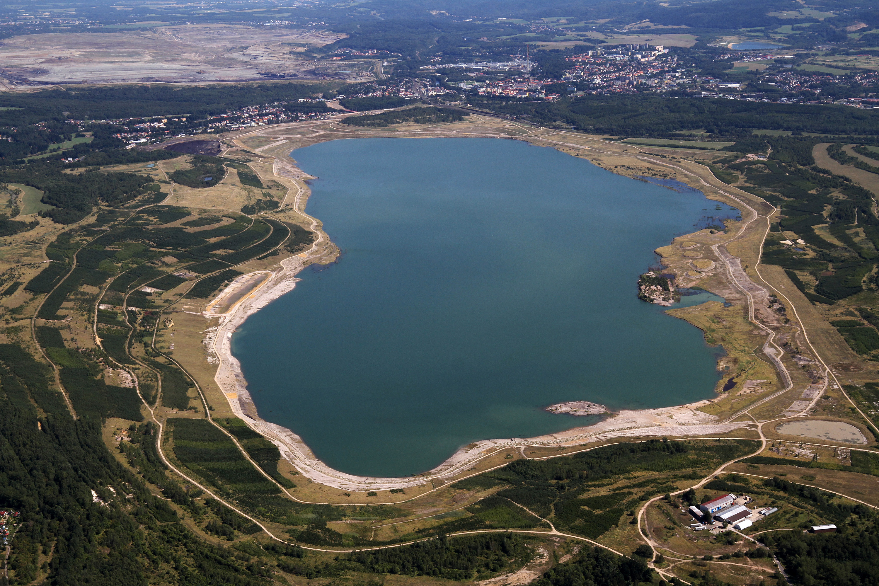
Large-scale opencast mining of brown coal represents a significant and devastating intervention in the natural environment. As a close to nature and economically acceptable method of reclamation of residual mine pits, the hydric method of reclamation is used, when lakes are created from quarries. The creation of a new lake in a former mining area essentially represents a large-scale ecological experiment, during which a number of specific factors are involved with impacts on individual organisms, multiple trophic levels and interactions, even entire food chains, and ultimately the lake water quality. Post-mining lakes (Medard Lake – 490 ha, max. depth 50 m, 400 m a.s.l., Milada Lake – 245 ha, max. depth 25 m, 145 m a.s.l., Most Lake – 310 ha, max. depth 75 m, 199 m a.s.l.) thus represent unique LTER areas for studying ecological processes in large natural lentic ecosystems. The ongoing research is focused mainly on (i) the structuring effect of submerged macrophytes on trophic relationships and distribution of fish in deep lakes, (ii) the effects of intra- and interspecific interactions on the succession of fish communities, and (iii) the effects of anthropogenic use and long-term changes on water quality, composition, periphyton composition and phytoplankton structure and biomass.
-
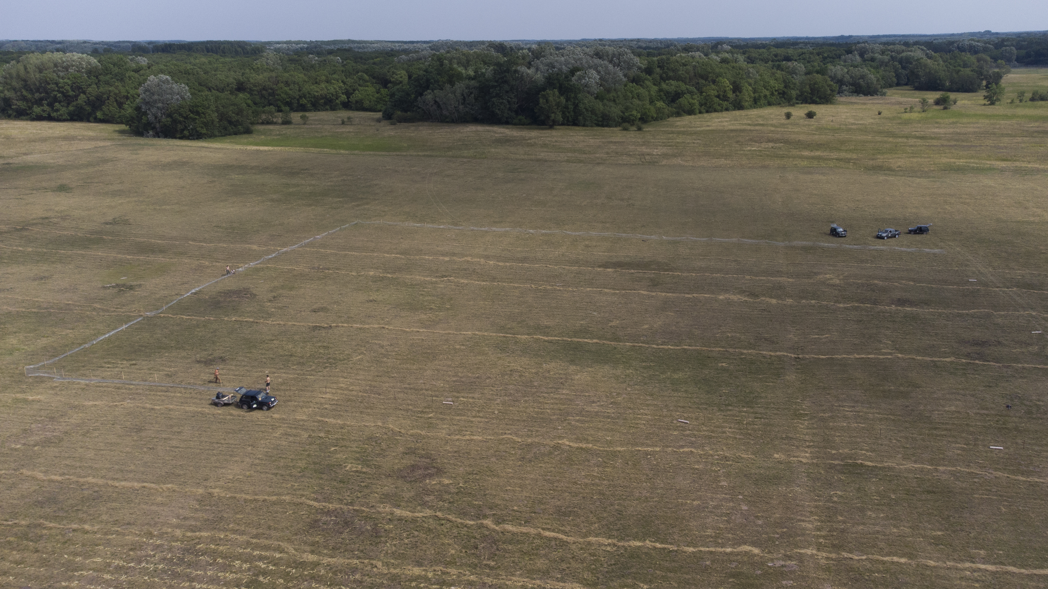
The site is a revitalized young steppe habitat patch, dominated by fescue (Festuca rupicola). The average altitude is around 100 m. The site is a grazing spot and it was recently used for the reintroduction of the European ground squirrel (Spermophilus citellus) to the area after 70 years. Other important species present at the site include Vojvodina blind mole rat (Nannospalax (leucodon) montanosyrmiensis) and Spring meadow saffron (Bulbocodium versicolor).
-
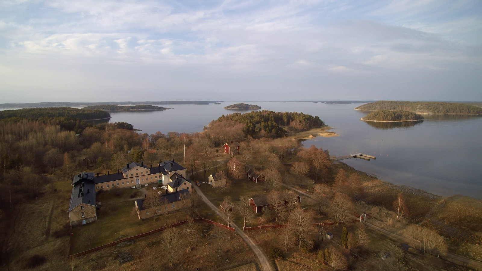
The Archipelago Research Institute is a historical marine station at the island of Seili, located in the middle of the Turku archipelago. The Institute offers various research support services as well as participates in multidisciplinary research of the Baltic Sea, with a special focus on the condition of the Archipelago Sea. The station is open for researchers and visitors year-round.
-
Lake Beyşehir, the largest freshwater lake in Turkey as well as in the Mediterranean basin, has a surface area of approximately 650 km2 and mean and max depth of 5–6 and 8–9 m, respectively. The catchment is situated in a semidry Mediterranean climate having an average temperature of 11 °C and an annual total precipitation of 490 mm during 1960–2012. In this period, precipitation values fluctuated between 317 and 716 mm (Beyşehir meteorology station, www.mgm.gov.tr), and the lowest annual average temperature was recorded in 1992 (8.5 °C) the highest in 2010 (13.1 °C). The catchment area of the lake is 4704 km2. The northern and eastern parts of the catchment are flat and intensively used for crop farming, while the western part of the catchment is dominated by mountains covered with forests and small areas of low-intensity agriculture. Nearly half of the catchment (42.7%) is covered by range-brush, 25.5% by agricultural land, and 13.5% by water (including Lake Beyşehir, the inflows, and wetlands), while forested areas (evergreen and deciduous forests) constitute 11.2%. The elevation ranges between 1027 and 2958 m.a.s.l., with an average elevation of 1370 m.
-
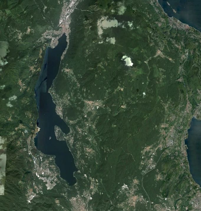
Lake Orta is a deep subalpine lake, located in Northern Italy, at a mean altitude of 290 m a.s.l. Its perimeter is 33,8 km, surface area 18,14 km2, volume 1,29 km3. Lake Orta has a maximum depth of 143 m and a mean depth of 71 m. Lake Orta is well known for being polluted by industrial discharges (copper sulphate and ammonia) since the late 1920: as a consequence, the pH of the lake water dropped down till 4 and the food web was almost completely destroyed, except for some few, strongly adapted species. The pollution stopped around mid 1980s and a liming intervention was carried out in 1989-1990, to neutralize the acidic waters of the lake. The recovery was very fast, new species started to colonise the lake just after the liming. The lake, however, is still at risk, due to the large amount of heavy metals stored in the sediments.
-

Berchtesgaden National Park was established in 1978 and is the only German national park located at the Alps. It comprises three major valleys and covers an elevantional range from 600 to 2700 m. Ecosystems include montane mixed forest and subalpine coniferous forest, alpine grasslands, pastures and rocky habitats. The Department for Research and Monitoring is linked to the Techincal University of Munich. It conducts monitoring on climate, hydrology, ecosystem dynamics and biodiversity. Main research topics include drivers of natural ecosystem dynamics, human impacts on ecosystems and climate change effects on ecosystems.
-
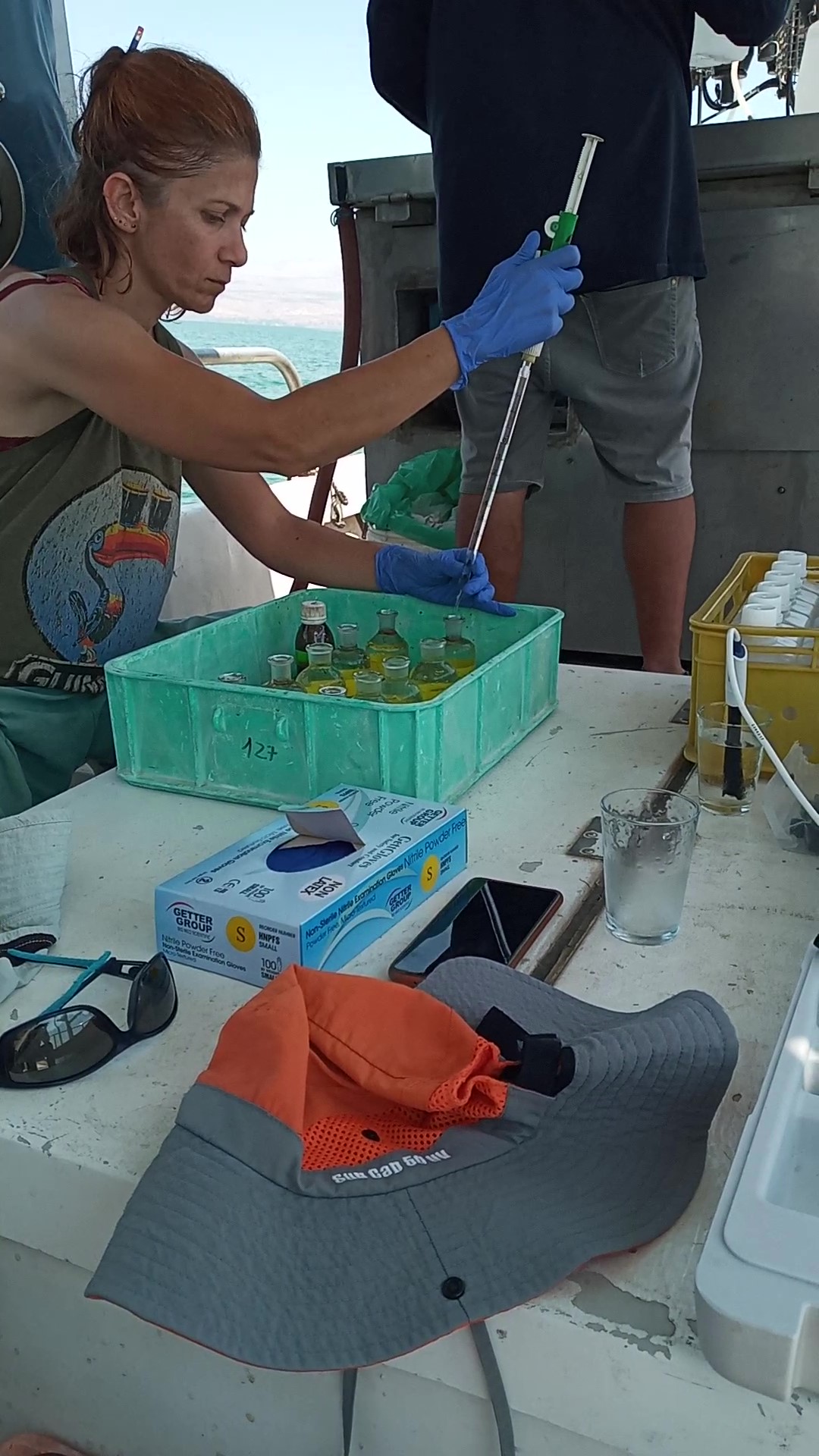
The Kinneret Limnological Laboratory (KLL) is situated at the ‘Sapir’ Site (Tabha) on the shores of Lake Kinneret (Sea of Galilee). The Lake Kinneret monitoring program conducted by KLL has been operating since Jan. 1969. The program has provided a unique database and information, due to the sampling resolution, accuracy of the measurements, and their continuity, it is used to make operational decisions and environmental policy. The monitoring program includes several stations around the lake and from numerous depths and includes fixed on-lake, high-resolution, and manual sampling of water samples analyzed in the laboratory. The Kinneret monitoring program has expanded in recent years and currently has four fixed on-lake and online sampling platforms, strategically placed, each with thermistor chains and multi-probe sensor systems including one that is a profiling system. Also, the program includes collaboration with the Ministry of Agriculture to carry out monitoring of fish and fisheries in the lake. As the lake suffers typically from two seasonal cyanobacteria blooms, (i.e., a winter Microcystis bloom and a summer N-fixing cyanobacteria bloom) routing monitoring of cyanobacteria biomass and toxins is conducted and adaptive to the extent of the bloom. This is carried out simultaneously with satellite imaging over the lake.
-

Historically, the role of the Galapagos Islands has been considered critical due to the evolutionary diversification induced by natural and historical isolation. The Galapagos National Park was established in 1959, based on its historical importance associated with Charles Darwin's voyage and its rare and endemic biodiversity, composed of unique vertebrate and plant communities (Rozzi et al. 2010). In 1978, the Galapagos Islands were declared a UNESCO World Heritage Site, a critical factor associated with this national park (Rozzi et al. 2010). The Galapagos Islands are a pristine area with local and regional climates influenced by the interaction of ocean currents and winds driven by the Inter-Tropical Convergence Zone; ITCZ (Conroy et al. 2008, Trueman and d'Ozouville 2010). The long-term programme includes forty natural aquatic ecosystems (lakes, ponds, lagoons and swamps) that will be sampled on the islands of San Cristobal, Santa Cruz, Isabela and Floreana, where possible along a lowland-highland gradient. The number of sampling points will vary according to environmental heterogeneity and the presence of a littoral region, among other factors.
-

The Cairngorms National Park is one of 15 National Parks in the UK (one of two in Scotland) and is Britain's largest National Park (4,528 km2). It is the location for some of the most spectacular landscapes in Britain and is home to an incredible diversity of wildlife and plants. http://cairngorms.co.uk/the-park/facts-figures/ The aims of the National Park are: • To conserve and enhance the natural and cultural heritage of the area; • To promote sustainable use of the natural resources of the area; • To promote understanding and enjoyment (including enjoyment in the form of recreation) of the special qualities of the area by the public; • To promote sustainable economic and social development of the area’s communities. Cairngorms National Park, seven broad habitats can be identified: • Enclosed farmlands • Woodlands • Open waters (rivers, lochs, wetlands and floodplains) • Mountains • Moorland • Semi-natural grasslands • Urban • Population of c17,500 • 25.8% of population over 60 (higher than Scottish average) • Average health index in top 25% of Scotland (based on deprivation indices) • Extensive core paths network • 55 Munros including 5 summits over 4000 feet • 3 ski centres • National Cycle Network Route 7 • 1 Long Distance Route (Speyside Way) • Relatively low atmospheric pollution • Annual precipitation over 2250mm on summits and under 900mm in straths • Average annual snow cover 200 days on summits and 50 days on low-ground • Prevailing winds from south-west