
body size
Type of resources
Available actions
Topics
Keywords
Contact for the resource
Provided by
Years
Formats
Representation types
-
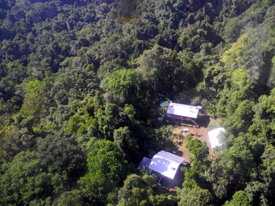
The site comprises 10,000 ha of pristine lowland rainforest in northern Papua New Guinea, owned by indigenous landowners from Wanang Village and declared as Conservation Area. The forest has >500 species of woody plants and largely intact, mildly hunted vertebrate communities. The site includes a field research station (phone, radio, accommodation, catering, solar power) accessible on foot or by helicopter. Further, the site has 50-ha forest dynamics plot from the Center for Tropical Forest Science network, with >300,000 stems tagged and monitored from 2012. There is significant background information on plants, birds, frogs, and several insect taxa. Insect monitoring programme is planned from 2013.
-
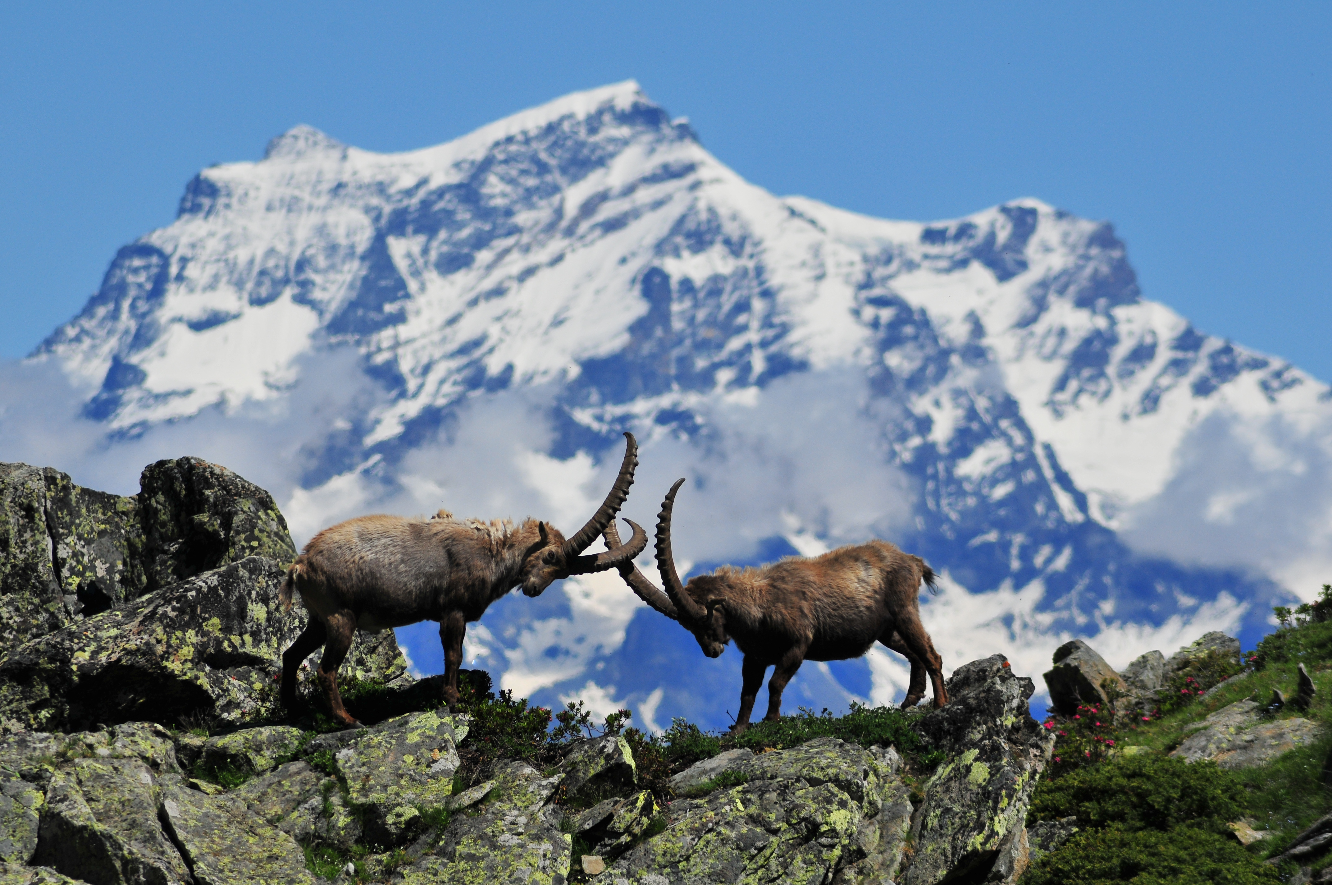
The site corresponds to the territory of Gran Paradiso National Park. This includes different ecosystems, present along the altitudinal gradient (ca. 800 – 4000 m asl): the woody areas of the montane belt, the ecotonal habitats of the subalpine belt and the meadows of the alpine one. The nival belt is widely represented inside the Park. The habitats with poor or no vegetation (rocks, screes, glaciers) cover about 60% of the territory, meadows and pastures 17%, about 20.2% is characterised by woods and shrubs, while 0.8% by cultivated lands and urban areas. The aquatic ecosystems, beyond the streams, comprise almost 15 lakes, bigger than 10,000 m2 and located at an altitude higher than 2000 m asl. The area is directly managed by the Park Authority; research and monitoring activities are coordinated by the Sanitary and Scientific Office of the Park.
-
In order to combat the eutrophication of Lake Balaton, the Kis-Balaton Water Protection System (KBWPS) was initiated in the early 1980s. Originally, the KBWPS consisted of an 18 km2 shallow (less than 1.3 m) artificial lake system (Lake Hídvégi) and a 16 km2 wetland, which were constructed on the site of the former Kis-Balaton wetland in the mid-1980s. Later, the wetland part of the KBWPS was significantly enlarged (over 50 km2). Lake Hídvégi was designed to retain nutrients and provide ideal conditions for algae growth, while the wetland component of the KBWPS prevented these algae from entering Lake Balaton. Regular limnological, ornithological, ichthyological and plant ecological measurements are carried out in both Lake Hídvég and the wetland part of the KBWPS.
-
How do freshwater ecosystems react to changing environmental conditions and to what extent can these changes be captured in the dynamics of eco-evolutionary processes? The project REES ('Rhine Eco-Evolutionary System') aims at the long-term assessment of eco-evolutionary interactions in the Rhine as a limnic habitat under consideration of diverse associated water bodies. The study area includes the main flow channel of the Rhine (km 845, North Rhine-Westphalia), as well as Rhine oxbows, Rhine water-fed gravel pit lakes in ecological succession and the surrounding floodplain (Rees, district of Kleve). The Ecological Research Station Rees-Grietherbusch of the Institute of Zoology (University of Cologne) and the Nature Conservation Center District Kleve e.V. form the central infrastructure of the study area. In addition, the Ecological Rhine Station of the University under the direction of Prof. Dr. Arndt is also associated to the project, which enables direct sampling and experimental recording of the main Rhine flow channel. The extensive system of standing and flowing freshwater bodies covered in the REES study site allows the investigation of dynamic variations in biodiversity composition at all levels, from species diversity of communities to genomic diversity at the molecular level of individuals and populations. Along a selected trophic cascade, representative species will be long-term observed and analyzed ecologically and especially also (population-)genomically. The incorporation of ecological genomics is the core aspect of this LTER-D project, which is intended to capture the feedback of evolutionary changes on the ecological system. Population genomic approaches can be used to infer both evolutionary and ecological processes from genomic data. To cope with the dimension of this project, REES is designed as an interdisciplinary collaboration project and currently counts seven project partners with corresponding subordinate projects.
-
A Long Term Ecological Research Program -GUADALQUIVIR_LTER 1997-2022- has been maintained since 1997 at the Guadalquivir estuary. The temporal and spatial evolution of abundances and biomasses of the aquatic community species -plankton, fish, and crustacean- is monitored monthly since 26 years ago (1997 to present). Community data is resolved at different levels of the ecosystem -individuals, populations, and communities- and completed with their corresponding water environmental data -salinity, temperature, turbidity, dissolved oxygen, nutrients, pH, among others- as well as detailed information on trophic structure and biology of the main species. Since 2021 a new Spanish Science Agency project is working together with Guadalquivir-LTER on the socio-ecology of the region, management, and cooperation among different stakeholders.
-
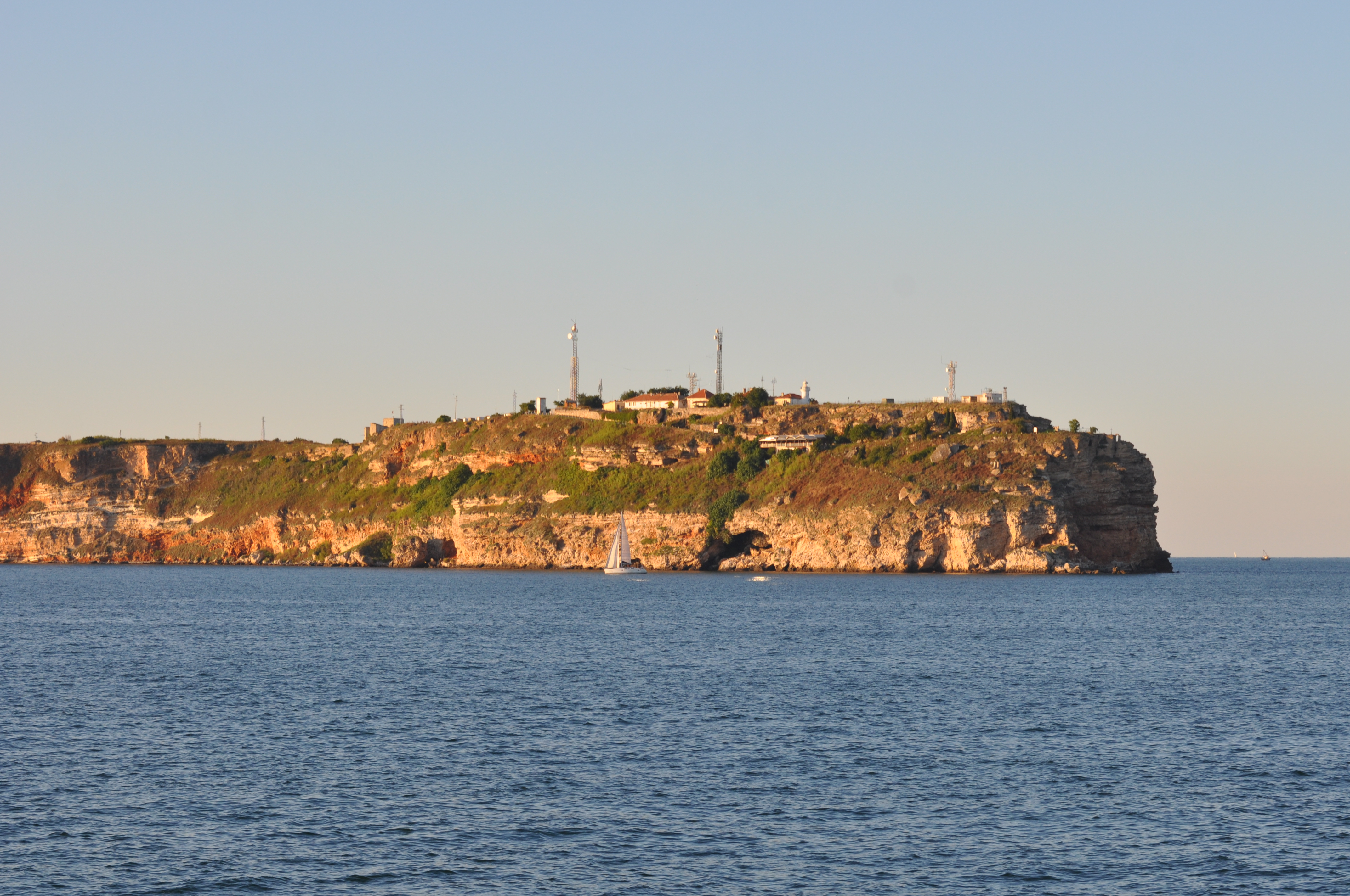
Black Sea site includes three areas: cape Kaliakra, cape Galata and Varna Bay, and Koketrays Sand bank (only for macrozoobenthos). They were chosen on the base of historical data availability and eutrophication/pollution impact. Kaliakra marine area is influenced by eutrophication due to mainly the Danube river inflow. The local anthropogenic impact in the region is insignificant. It is a nature reserve. Cape Galata and Varna Bay sites are under the indirect impact of Varna Bay current and the system Beloslav lake-Varna lake - a cascade introducing nutrients and pollutants of industrial (chemical industry), agricultural, sewage origin and nearby ports. Koketrays Sand bank is an unique benthic habitat. The coordinates of the selected areas are as follow: c. Kaliakra: 28.416667 43.366667 c. Galata: 27.933889 43.186111 Varna Bay: 28.166667 43.166667 Koketrays bank: 27.888889 42.635556
-
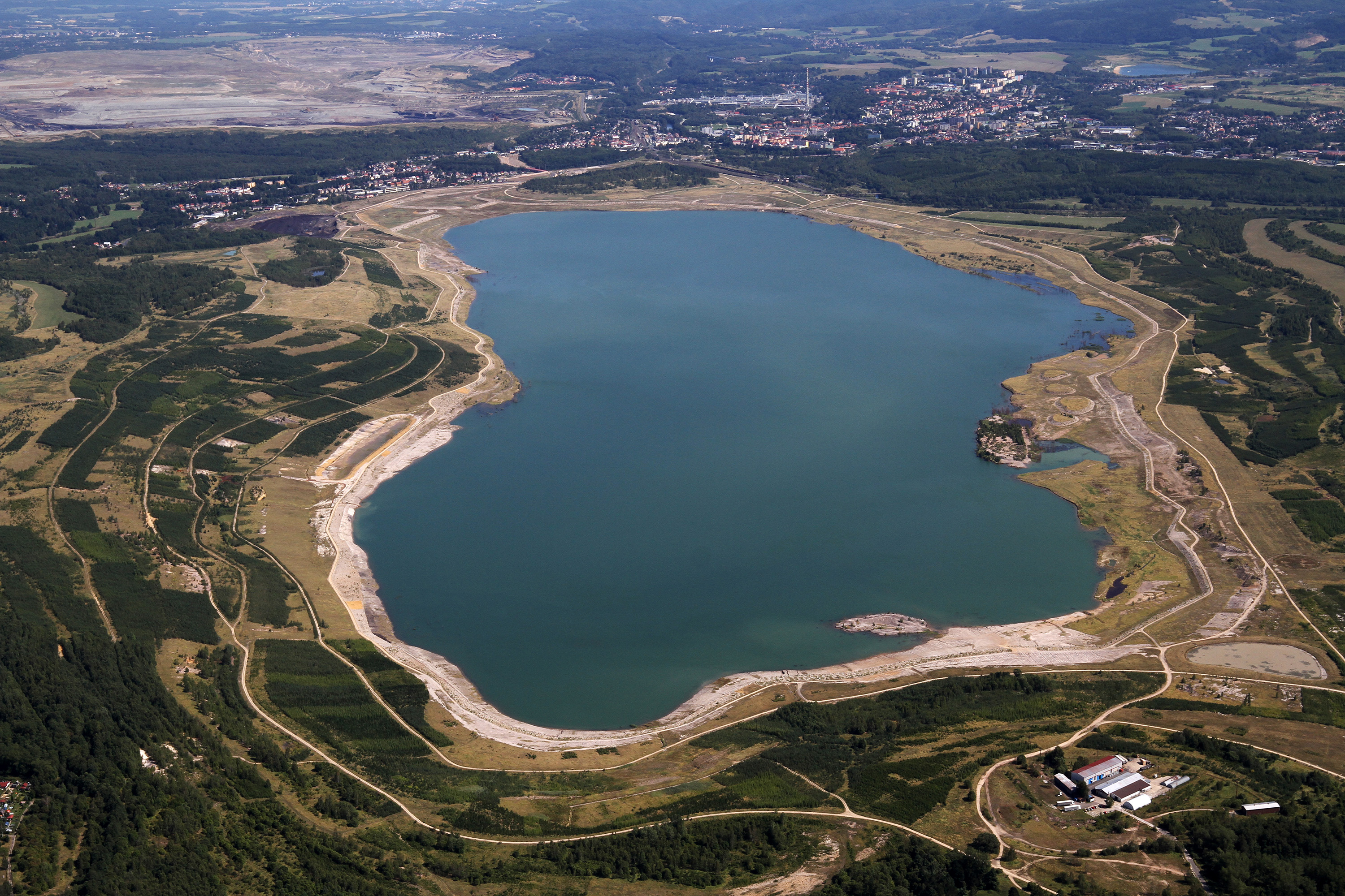
Large-scale opencast mining of brown coal represents a significant and devastating intervention in the natural environment. As a close to nature and economically acceptable method of reclamation of residual mine pits, the hydric method of reclamation is used, when lakes are created from quarries. The creation of a new lake in a former mining area essentially represents a large-scale ecological experiment, during which a number of specific factors are involved with impacts on individual organisms, multiple trophic levels and interactions, even entire food chains, and ultimately the lake water quality. Post-mining lakes (Medard Lake – 490 ha, max. depth 50 m, 400 m a.s.l., Milada Lake – 245 ha, max. depth 25 m, 145 m a.s.l., Most Lake – 310 ha, max. depth 75 m, 199 m a.s.l.) thus represent unique LTER areas for studying ecological processes in large natural lentic ecosystems. The ongoing research is focused mainly on (i) the structuring effect of submerged macrophytes on trophic relationships and distribution of fish in deep lakes, (ii) the effects of intra- and interspecific interactions on the succession of fish communities, and (iii) the effects of anthropogenic use and long-term changes on water quality, composition, periphyton composition and phytoplankton structure and biomass.
-
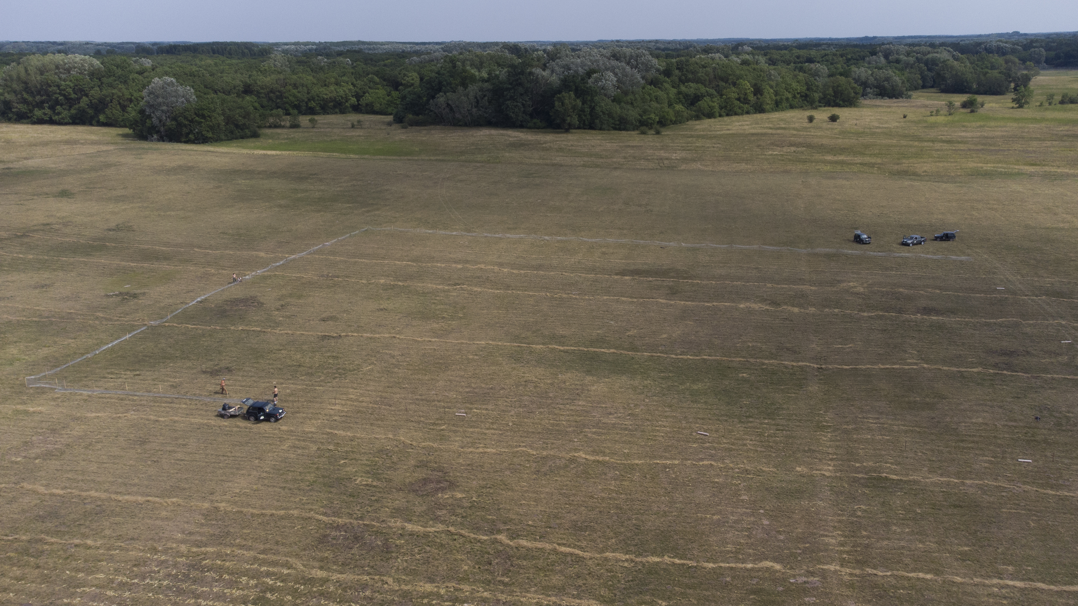
The site is a revitalized young steppe habitat patch, dominated by fescue (Festuca rupicola). The average altitude is around 100 m. The site is a grazing spot and it was recently used for the reintroduction of the European ground squirrel (Spermophilus citellus) to the area after 70 years. Other important species present at the site include Vojvodina blind mole rat (Nannospalax (leucodon) montanosyrmiensis) and Spring meadow saffron (Bulbocodium versicolor).
-
The Presidential Estate of Castelporziano stretches itself over an area of about 6100 ha and is located approximately 24 km from the city of Rome. The territory is characterized by remarkable natural features. It shows most of the typical Mediterranean ecosystems (relict strips of lowland forest with hygrophilous vegetation, deciduous and evergreen mixed oak woods, Mediterranean scrub, dune vegetation). Until recently (2019), there were large surfaces of stone pine unfortunately destroyed by the combined action of alien pest Toumeyella parvicornis with Tomicus destruens, the main pest of Mediterranean pine forests. Inside the Estate, there are two Special Areas of Conservation (SACs): one concerning the coastal strip (IT6030027) and the other one concerning hygrophulous oak-woods (IT6030028). In addition to including the two SACs, the Estate is in its entirety Special Protection Area (SPA - IT 6030084). From a botanical point of view this area, together with the neighbouring Castelfusano territory, represents what remains of the vast forest system that covered the entire delta of the Tiber and the surrounding areas. The land is mostly flat, but in the North there are modest reliefs that are not higher than 85 m. on sea level. A complex set of ancient dunes and a chain of more recent dunes stretch out along the coastline. There are many temporary and permanent natural pools and wetland areas with seasonal floodings caused by meteoric water and groundwater, which usually dry out during summer and represent sites with the greatest biodiversity. From an ecological point of view, those “relict wetland areas” play actually a very important role for biodiversity because of plant species which are typical of hydrosoil and in the past were widespread but have now almost disappeared.
-
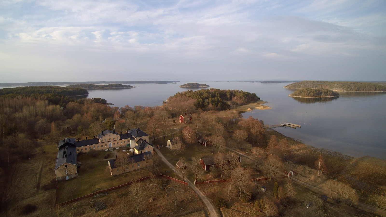
The Archipelago Research Institute is a historical marine station at the island of Seili, located in the middle of the Turku archipelago. The Institute offers various research support services as well as participates in multidisciplinary research of the Baltic Sea, with a special focus on the condition of the Archipelago Sea. The station is open for researchers and visitors year-round.