
canopy aerodynamic resistance
Type of resources
Available actions
Topics
Keywords
Contact for the resource
Provided by
Years
Formats
Representation types
-

Tronchaney, Conca di Torgnon, (Torgnon, Aosta), + 388330 + 5075950; Aosta Valley
-
The site Bily Kriz (Bílý Kříž) is located in Moravian-Silesian Beskids Mountains. Ecosystem type: Managed secondary pure Norway spruce stand. Prevailing species: Norway spruce (Picea abies [L.] Karst.) Height of the stand: 17 m (2016) Understory: Vaccinium myrtillus L. Year of plantation: 1981 by 4 years old seedlings
-
The site is located next to Wettingen in the canton of Aargau, within a natural, mixed forest stand which mainly consists of 150 year-old beech (Fagus sylvatica) and 120-170 year-old spruce (Picea abies) trees. Among others, the site is equipped with two meteorological measurement stations; one is located within the forest stand, the second is co-located in the nearby open-field, allowing to measure the forest stand effect on micro-climate. The following parameters are being measured since 2013: Soil solution chemistry (lysimeters), TREENET, atmospheric deposition (throughfall and bulk deposition), circular vegetation plots, crown condition assessment, diameter and height measurements, foliar analyses, leaf area index (LAI), litterfall, manual circumference band measurements, Ozone visible injury assessment, permanent vegetation quadrats, phenological observations, sapflow measurements, soil matrix chemistry, tree core sampling, automated point dendrometer measurements, automatic circumference band measurements.
-
The Yatir Research site was set up in 2000 at the center of the Yatir Forest, a 2'800 ha afforestation system of mainly P. halepensis trees, and is located on the southern end of the Hebron mountain range and at the northern edge of the Negev desert (31° 20’ N; 35° 3’ E; elevation 600 to 850 meters above sea level). Most of the area was planted during the 1960s-1970s. The site is located in the transition zone between the semi-arid and arid Mediterranean climates. Average air temperature for January and July is 10 and 25°C, respectively. Mean annual potential ET is 1600 mm, and mean annual precipitation is 285 mm. Only winter precipitation occurs in this region, creating a distinctive wet season (winter, December to March) and an extended dry season (summer, June to October), with short transition periods between them: a wetting season (autumn) and a drying season (spring). Research in the site mainly focuses on ecophysiology and ecohydrology, energy, carbon and water budgets, influence of stand density (through manipulation experiments), boundary layer dynamics and ecosystem interactions with the climate.
-
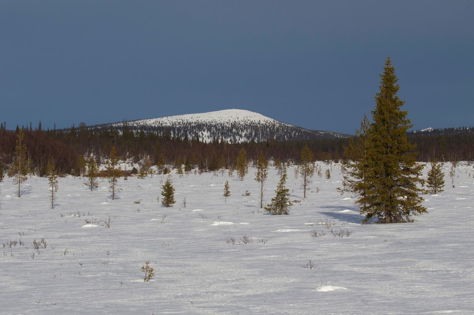
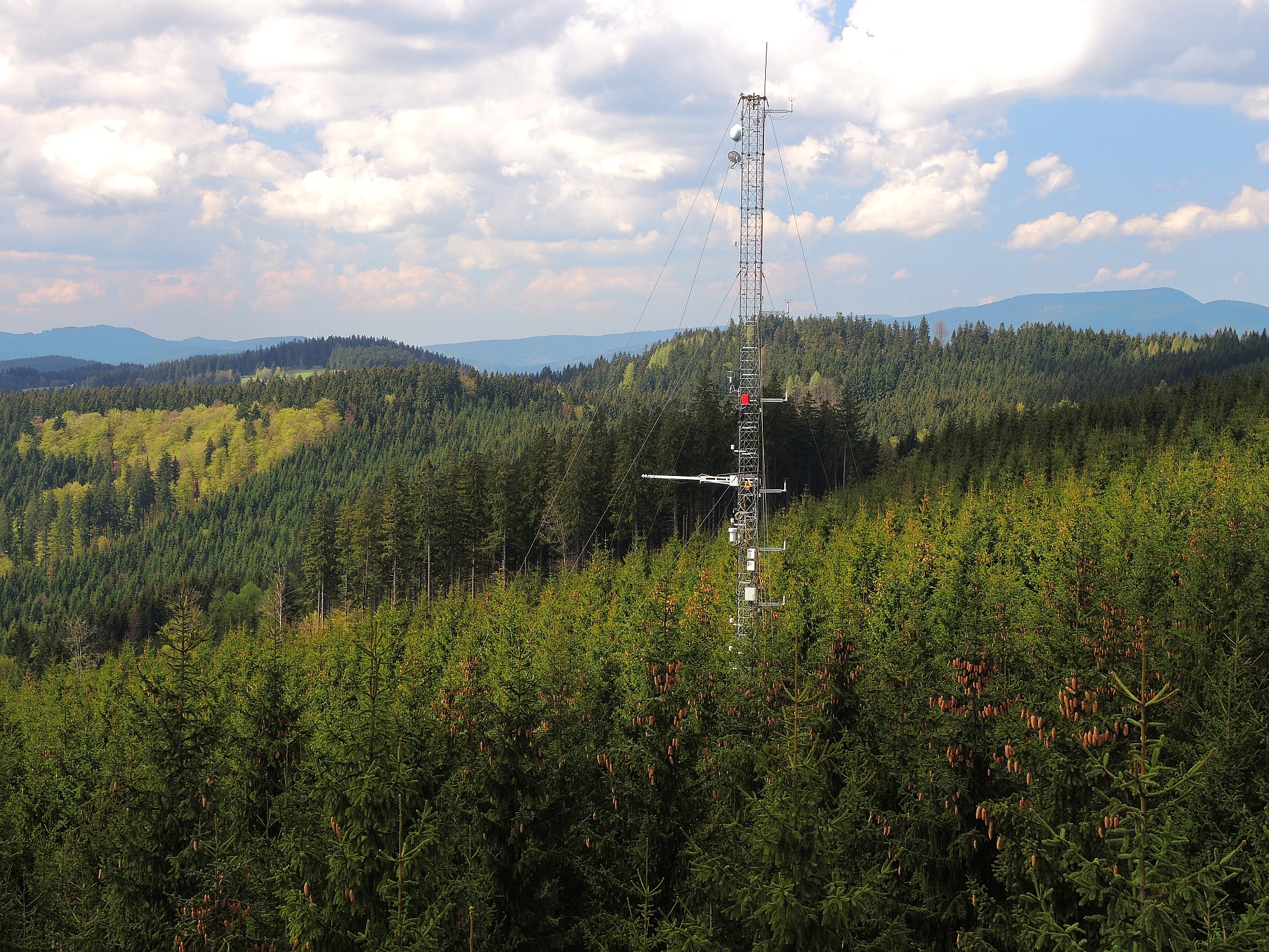
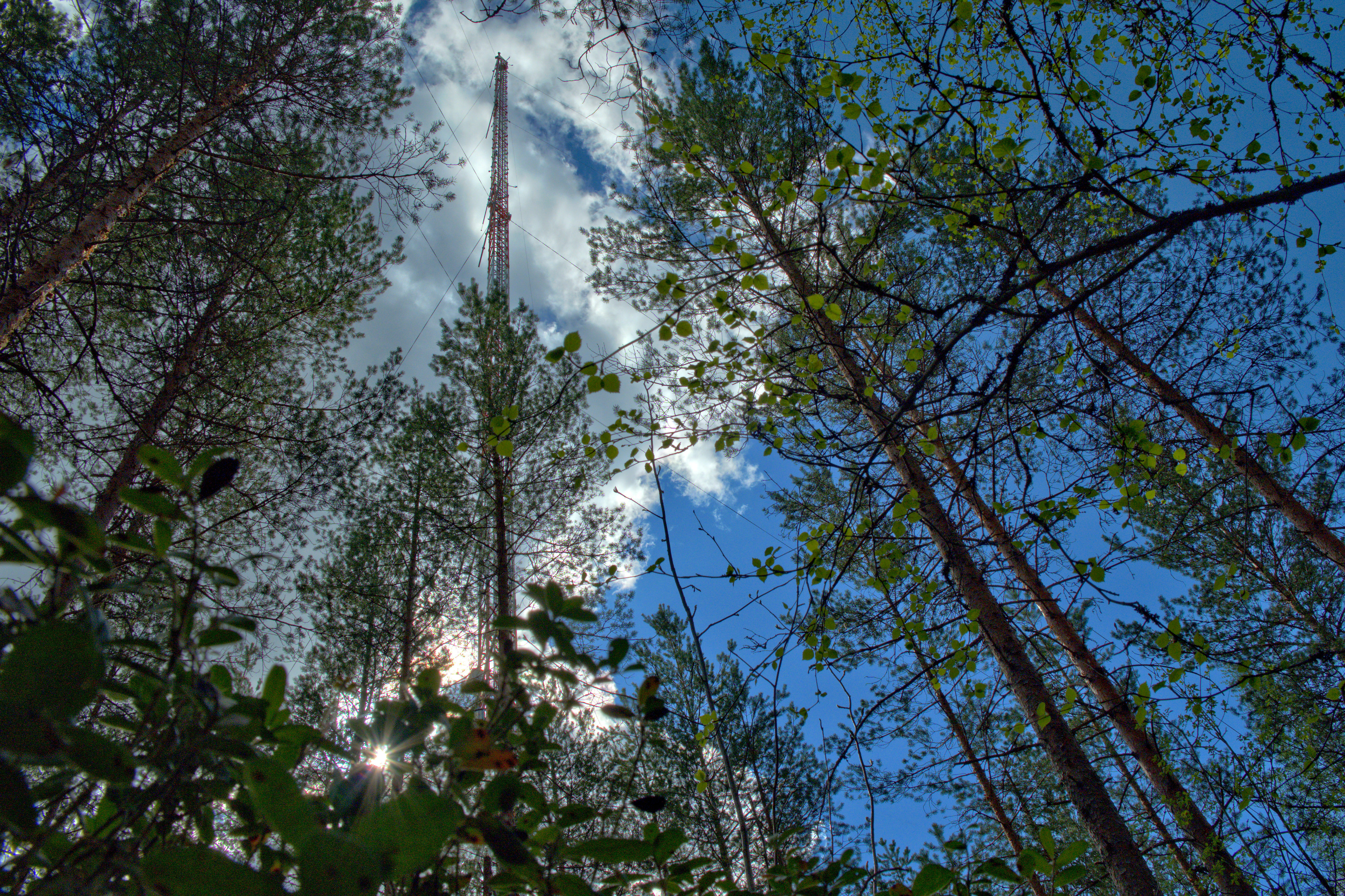
Värriö Subarctic Research Station is located in the Värriö Strict Nature Reserve, Eastern Lapland, in the northern corner of the municipality of Salla. The station represents top scientific research of the University of Helsinki, the highest standards of education and co-operation with civil society in Northeastern Finland. The station has been in operation from 1967, first in mostly ecological studies, but later on also other research fields are represented (atmospheric sciences, palaeoecology etc.). The SMEAR I station (Station for Measuring Ecosystem-Atmosphere Relations) was established to the Värriö Subartic Research Station in 1991 to measure pollution levels in the area, especially those originating from the Kola Peninsula in Russia. The initial measurements focused on sulphur dioxide but during the 90s the scope of measurements were significantly widened to cover e.g. atmospheric aerosols and ozone. Today, among other things, the SMEAR station measures weather, atmospheric aerosols and inorganic gases, carbon and energy fluxes and the relationships between the atmosphere and growth of forests. The site is a supporting ICOS ecosystem station. The station is a part of the Institute for Atmospheric and Earth System Research (INAR) at the University of Helsinki. An alike measurement station (SMEAR II) is located at the Hyytiälä Forestry Field Station in Juupajoki, Southern Finland.
-
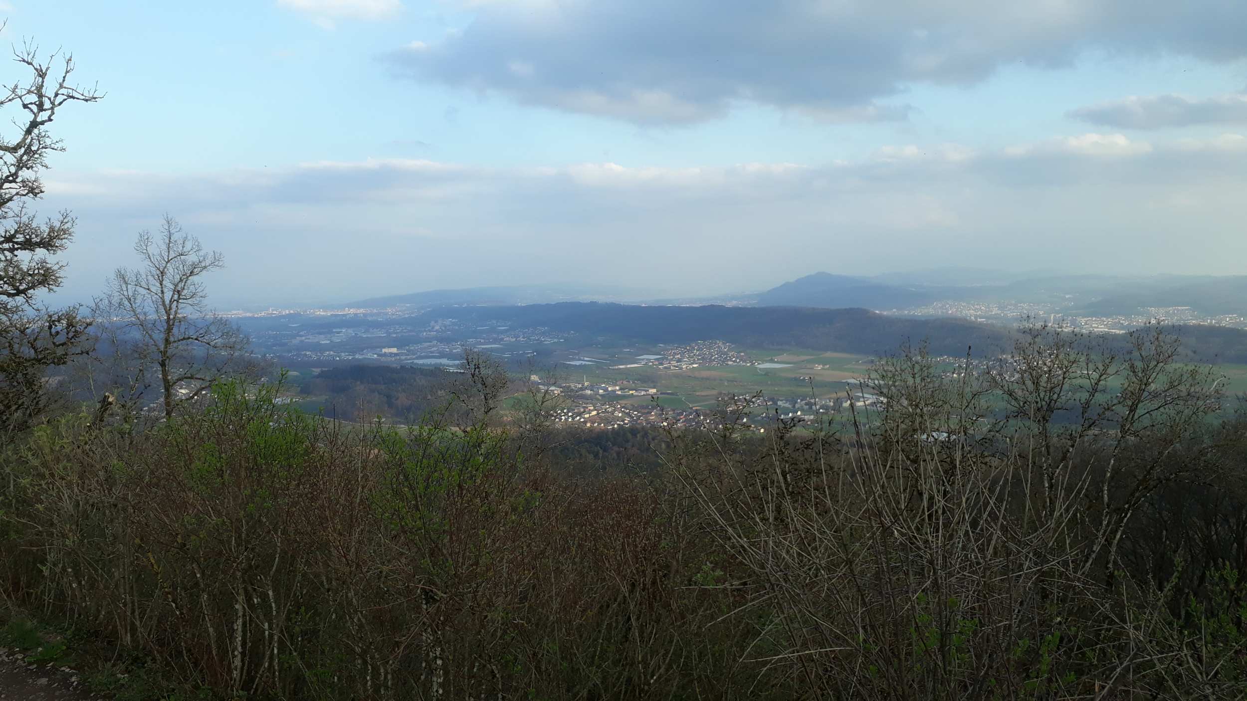
The national park Hunsrück-Hochwald is situated in the north-east of the nature park Saar-Hunsrück. 90 percent of the national parks area belong to Rhineland-Palatinate and 10 percent to the Saarland. Founded in March 2015, it is Germanys youngest national park. The basis of its foundation has been a treaty between Rhineland-Palatinate and the Saarland, which was passed through in January 2015. The special quality of the foundation is shown in the successful public participation. The national park contains the biggest occurance of wildcats in Europe. The visitor can see a great woodrush beech forest with moors, rocks and meadows of arnica. Because of the fact, that the forest is left to his own ressources, it offers safe and natural habitats to rare animal and plant species which can be observed. Furthermore, data about the condition of the forest, the air quality and analyses of bodies of water are collected, too.
-
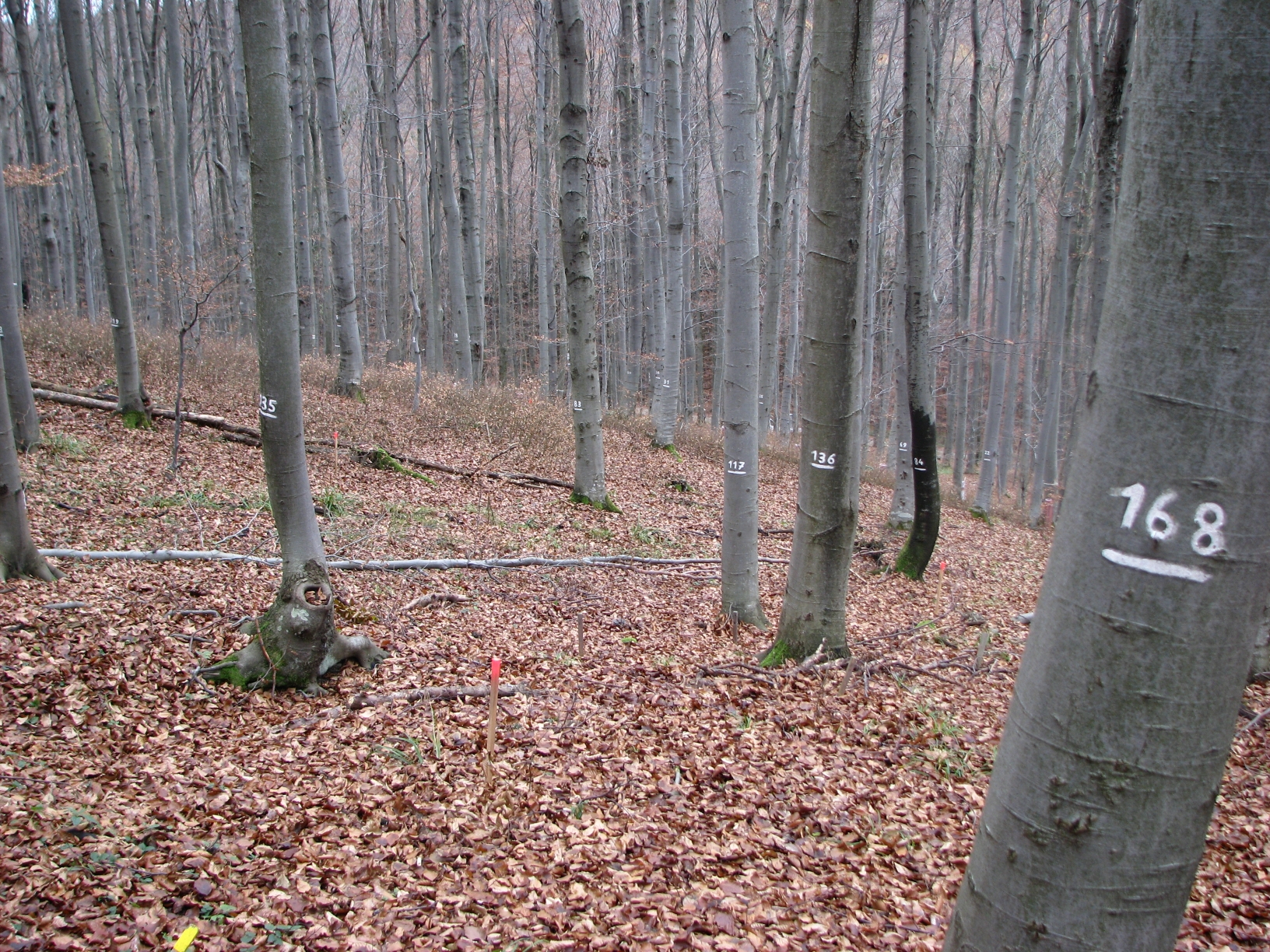
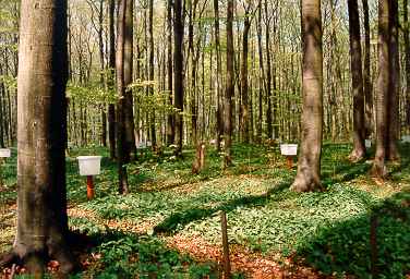
The site Klausen-Leopoldsdorf is part of the European Level II Forest Monitoring System in the frame of the International Co-operative Programme on Assessment and Monitoring of Air Pollution Effects on Forests (ICP Forests). The site was established in 1995 and is, since 2006, part of the LTER Austria network. It is situated in a homogenous 80 years-old managed beech stand about 20km west of Vienna. The LTER-CWN research area in Klausenleopoldsdorf is divided into 3 subplots: a measuring weir, a dendrometer/sapflow measuring facility and GHG-chambers for measuring the fluxes of CO2 and other relevant GHG´s. All 3 subplots were installed in 2019 to collect high-resolution data. The measuring weir is located at about 475m a.s.l and the other subplots (denrometer/sapflow, GHG measuring chambers) are located at about 510m a.s.l. The observed catchment of the measuring weir has an area of 46 hectares. The dominating soil types in the catchment are Planosoils and Stagnosols. The subplots are situated in the near vicinity of the ICP-forest plot.
-
Fagus sylvatica forest on limestone plateau
-
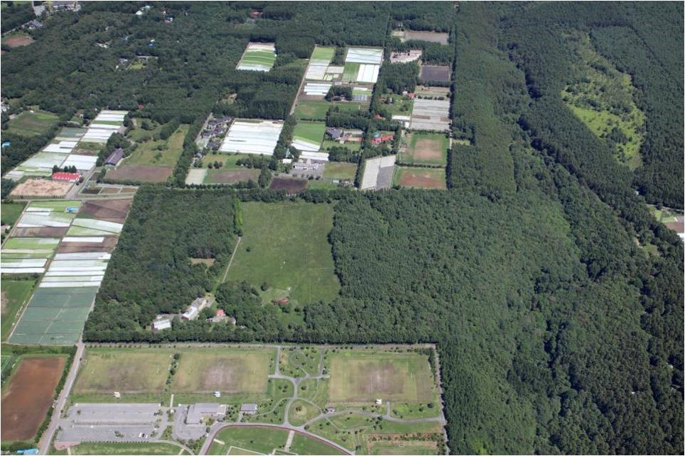
Sugadaira Montane Research Center, established in 1934, is located on the mountain region of 1,300 m alt. in Nagano Prefecture, central Honshu-Island, Japan. In the extensive campus of the Center (35 ha), a sere of vegetation succession is well preserved, and seral stages of the secondary succession for the last one hundred years are sequentially and chronologically arranged: a Miscanthus grass field (A) - young pine forest (about 45 year-old) (B) - mature pine forest (about 60 year-old) (C) - older deciduous broad-leaved forest (about 100 year-old) (D).
-
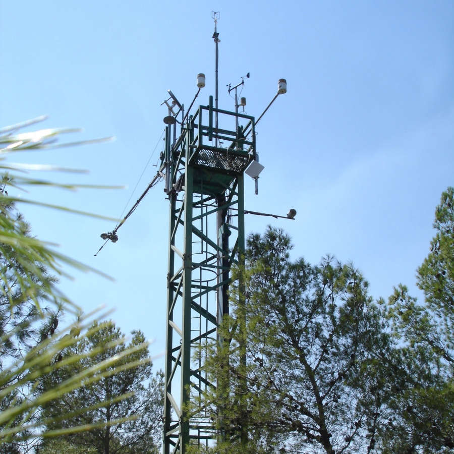
The Hyytiälä SMEAR II site (Station for Measuring Ecosystem-Atmosphere Relations) is situated in the Hyytiälä Forestry Field Station of the University of Helsinki. The site consists is a managed, 60-yr old Scots pine forest stand. The main idea of SMEAR type infrastructures is continuous, comprehensive measurements of fluxes, storages and concentrations in the land ecosystem–atmosphere continuum. The forest measurements are operated continuously since 1996, and include e.g. leaf, stand and ecosystem scale measurements of greenhouse gases, volatile organic compounds, pollutants (e.g. O3, SO2, NOx) and aerosols, in addition to full suite of meteorological measurements. The biogeochemical cycles and vegetation–soil–atmosphere interactions are studied both experimentally and with long-term observations. The site has full carbon, water and nitrogen budgets made over 10 years, and it is a full ICOS ecosystem and atmospheric station. Ecosystem and atmosphere measurements also exist nearby in two open oligotrophic fen sites and a humic lake with forested catchment. Most of the measured data can be retrieved from: https://smear.avaa.csc.fi/