
canopy transpiration
Type of resources
Available actions
Topics
Keywords
Contact for the resource
Provided by
Years
Formats
Representation types
-

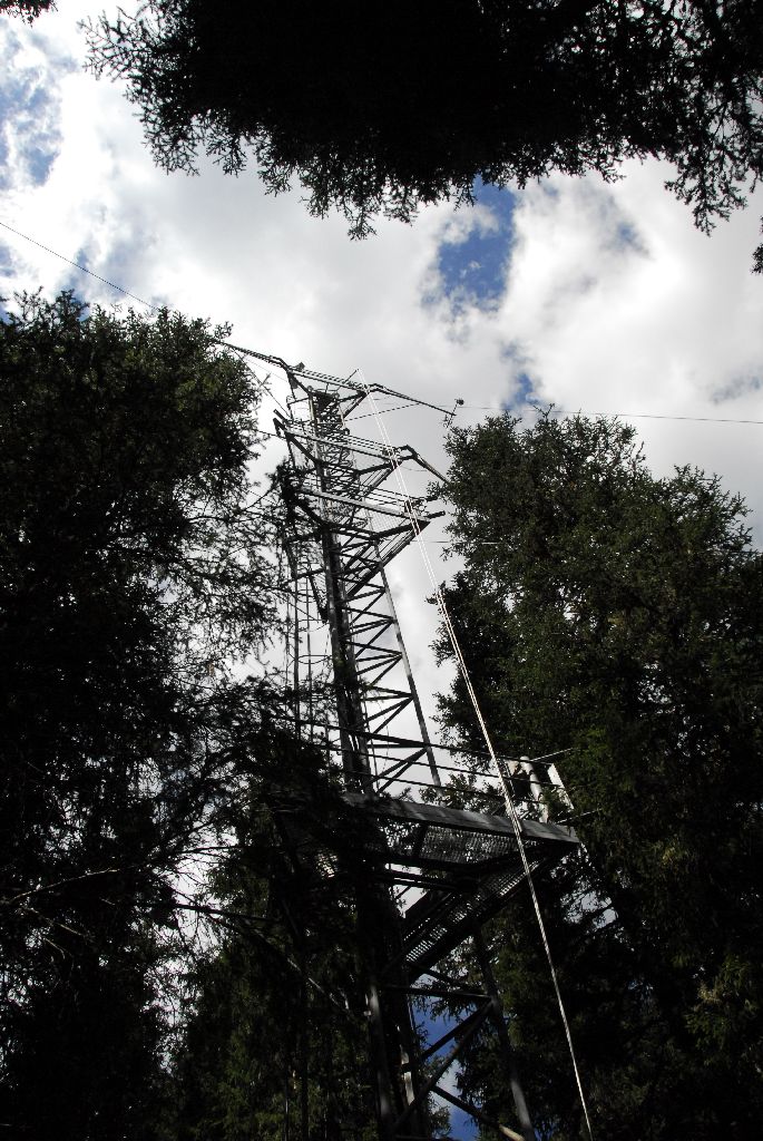
The Hölstein site is located in in the eastern part of the Swiss Jura mountains (47°26’16.4’’, 7°46’31.1’’; 540 m a.s.l.), in a mixed, temperate forest with an exceptionally high biodiversity and a vigorous tree regeneration. The research plot has a size of 1.6 ha and comprises 540 mature trees. The main tree species are Fagus sylvatica and Picea abies with an admixture of Abies alba, Quercus petraea, Pinus sylvestris, Acer pseudoplatanus, Carpinus betulus, Fraxinus excelsior and Sorbus torminalis. A canopy crane is installed in the center of the research area to access the tree canopies for in situ measurements and for sampling of leaf material. Rainout shelters will be installed in 2019 for conducting a long-term throughfall exclusion experiment.
-
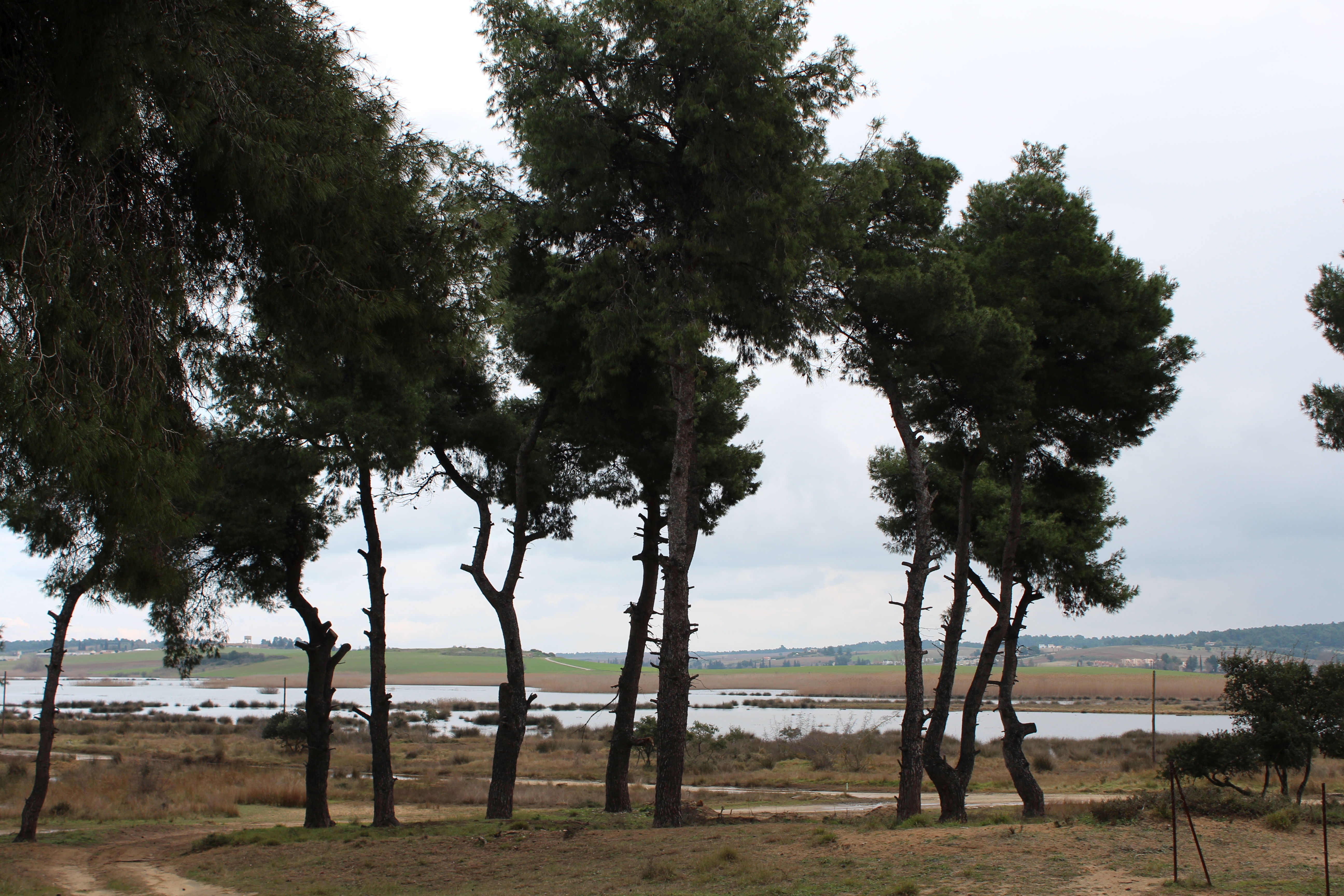
The Sani Environmental Observatory (S.E.O.) is located within a mature, near-coastal Aleppo pine (Pinus halepensis L.) ecosystem at the peninsula of Kassandra, in Chalkidiki, Greece. It is part of the Stavronikita forest, which comprises approximately 300 ha of land covered mainly by forests and to a lesser extend by shrubs and pastures. The Observatory aims primarily at the assessment of the carbon and water balance of this typical low-elevation forest ecosystem to the ongoing climatic shift. Such ecosystems may be prone to the intensified heat and drought events, as well as to the associated insects’ and pathogens’ outbreaks, which are increasingly occurring at the Mediterranean region and particularly at its eastern part. Although Aleppo pines, as well as other Mediterranean pines, are generally adapted to the region’s xerothermic conditions, the in-depth understanding of their ecophysiological and growth responses will allow us to predict the potential of such ecosystems to adapt to climate change. SEO also serves to assess the carbon stocks and fluxes and the contribution of these natural, old-growth ecosystems to carbon sequestration and, thus, to climate change mitigation. S.E.O. is developed by the Forest Research Institute (Lab of Forest Ecophysiology) of the Hellenic Agricultural Organization Dimitra with the support of Sani Resort SA, the owner of the studied forest ecosystem, presenting a nice example of collaboration between the research community and the private sector. Given that SEO is located at a region of high touristic and aesthetic value, close to a wetland and the sea, the Observatory also plans actions to familiarize people with environmental monitoring and the multiple functions and services of the studied Mediterranean ecosystem.
-
The site comprises 4 plots installed in an oak and beech forest of 60 ha: 2 plots are in pure stands dominated either by oak (1.22 ha) or by beech (0.88 ha) and the two other plots are in mixed stands of contrasted densities (1.05 and 1.75 ha). All the stands are close to each other and are in very similar ecological conditions.
-
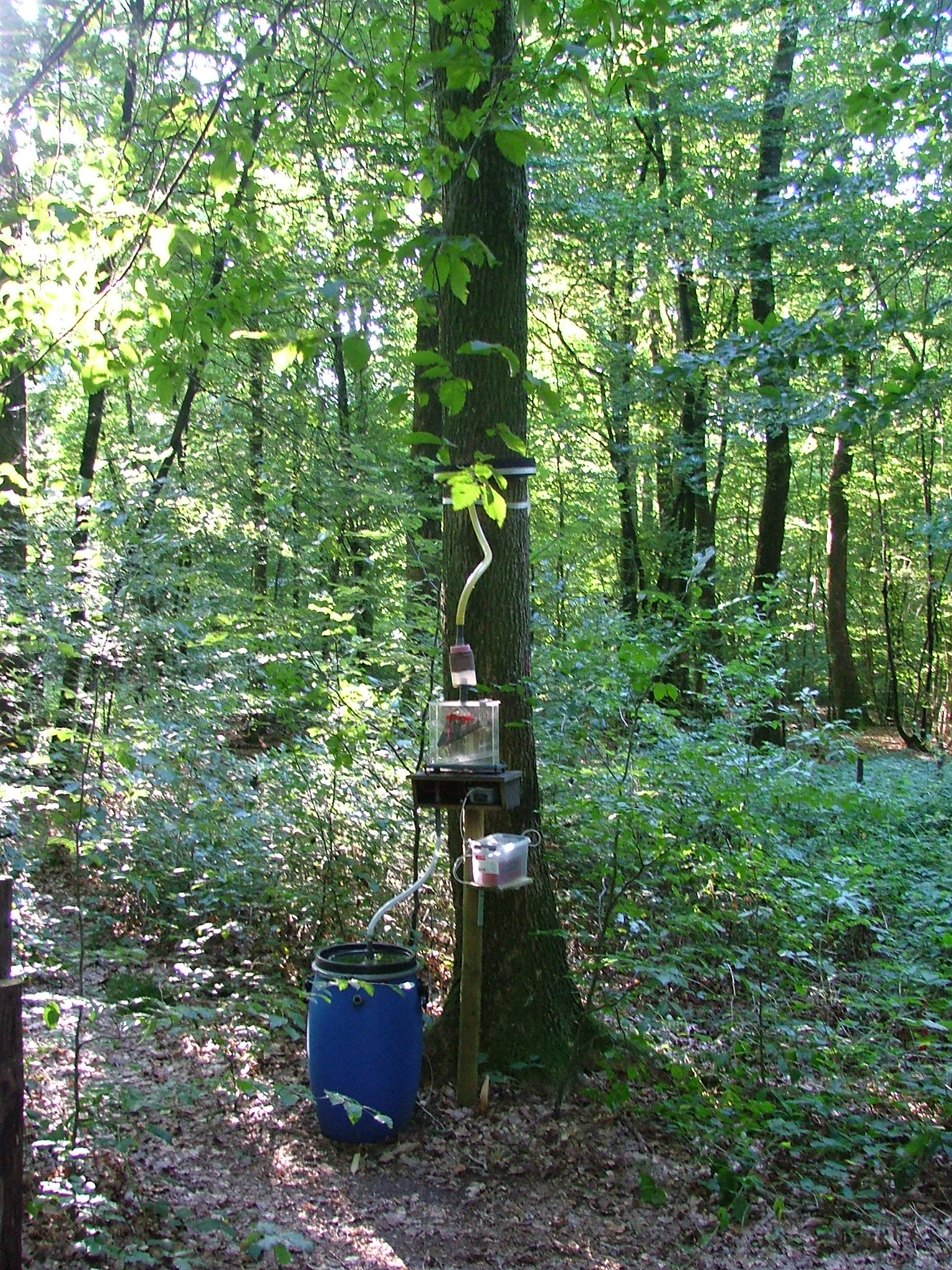
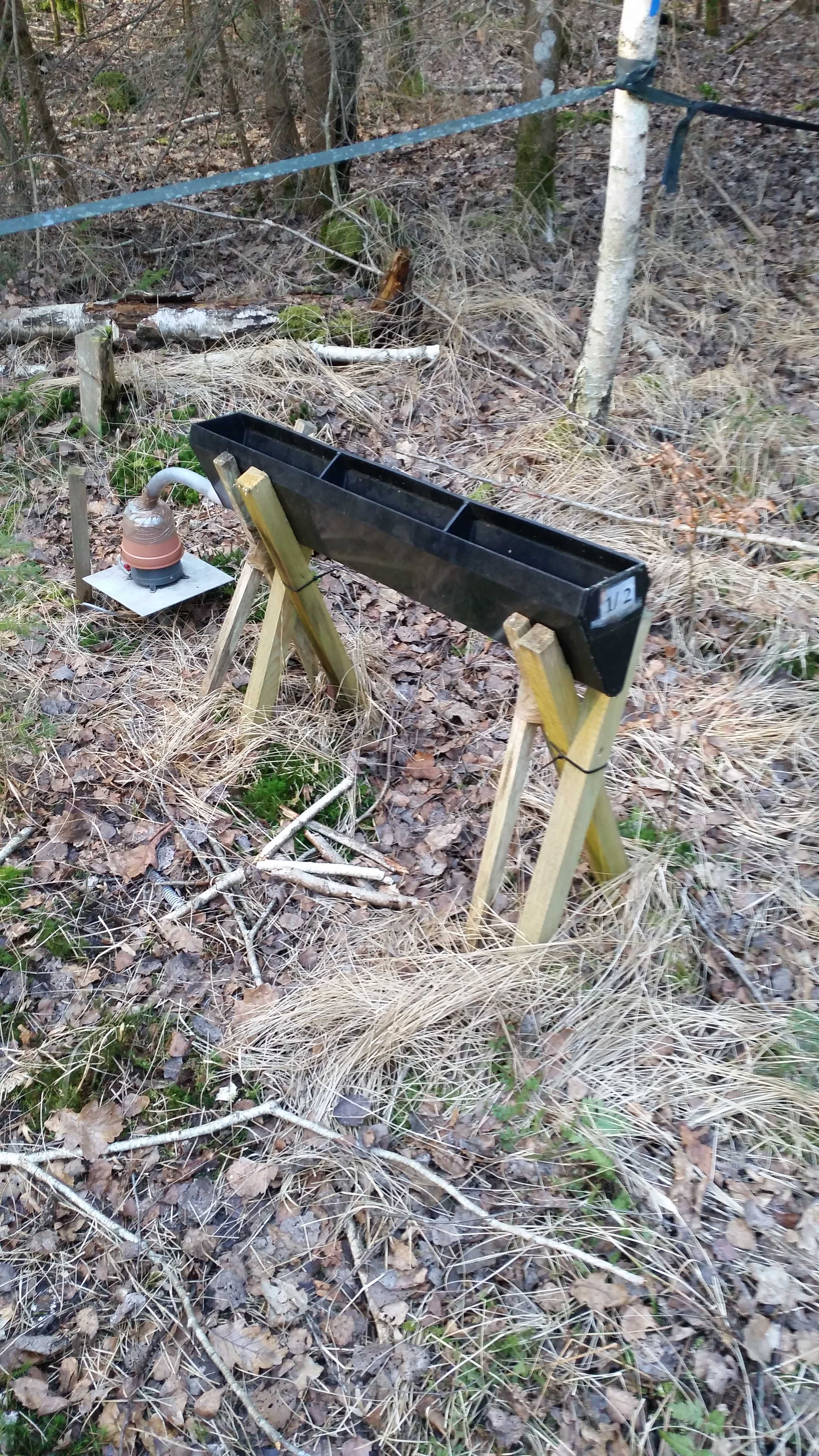
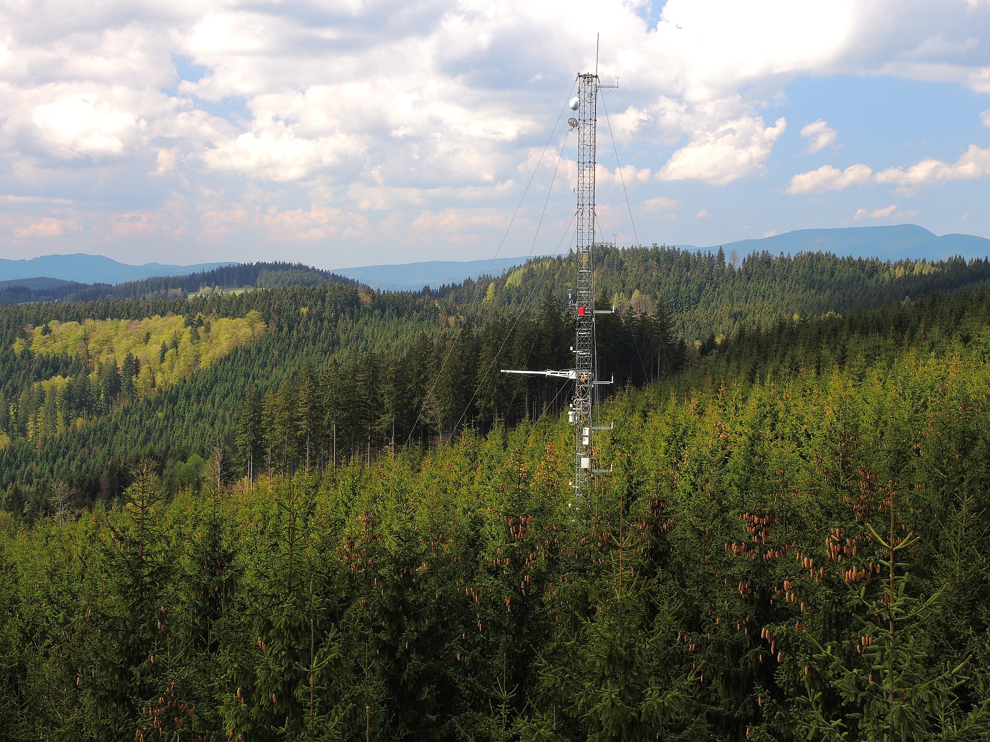
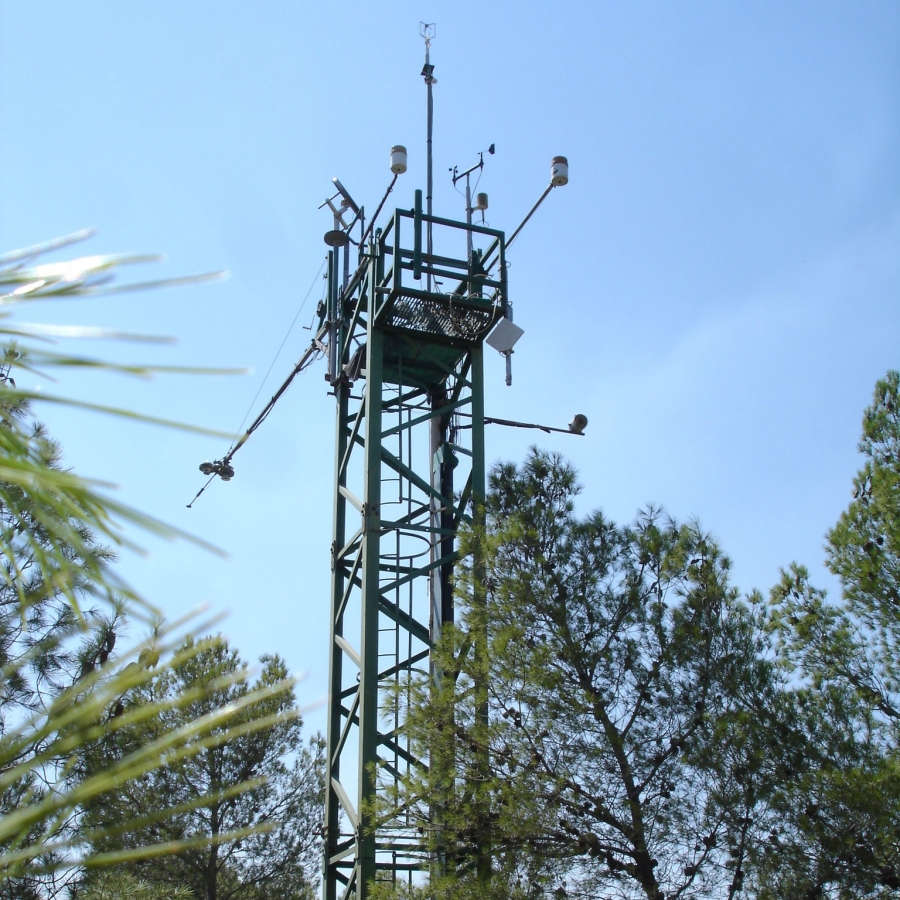
The LWF research programme provides, on the one hand, long-term data series from the last 20 years, together with a scientific interpretation to national and international policy makers. On the other hand, the available data and latest LWF infrastructure provide an attractive scientific platform for collaboration with both national and international partners. The site is located close to the city of Davos in the canton of Graubuenden, within a natural, coniferous forest stand which mainly consists of 200-390 year-old spruce (Picea abies) trees. Among others, the site is equipped with two meteorological measurement stations; one is located within the forest stand, the second is co-located in the nearby open-field, allowing to measure the forest stand effect on micro-climate. The following parameters are being measured (starting-end year): Atmospheric deposition (throughfall and bulk deposition) (2009-today), Circular vegetation plots (2008-today), Crown Condition Assessment (2006-today), Diameter and Height measurements (2004-today), EC-5 soil water content measurement (2008-today), EC-5 soil water content measurement (2008-today), Foliar analyses (2007-today), Leaf area index (LAI) (2008-today), Litterfall (2009-today), Manual circumference band measurement (2006-today), Matric potential (manual suction cups) (2009-today), O3 Injuries (2009-today), Ozone visible injury assessment (2009-today), Permanent vegetation quadrats (2008-today), Phenological observations (2009-today), Sapflow measurements (1998-today), Soil matrix chemistry (2007-today), Soil solution chemistry (lysimeters) (2010-today), Tree core sampling (), automated point dendrometer measurements (1998-today), automatic circumference band measurement (2006-today), Deadwood sampling (2009-today).
-
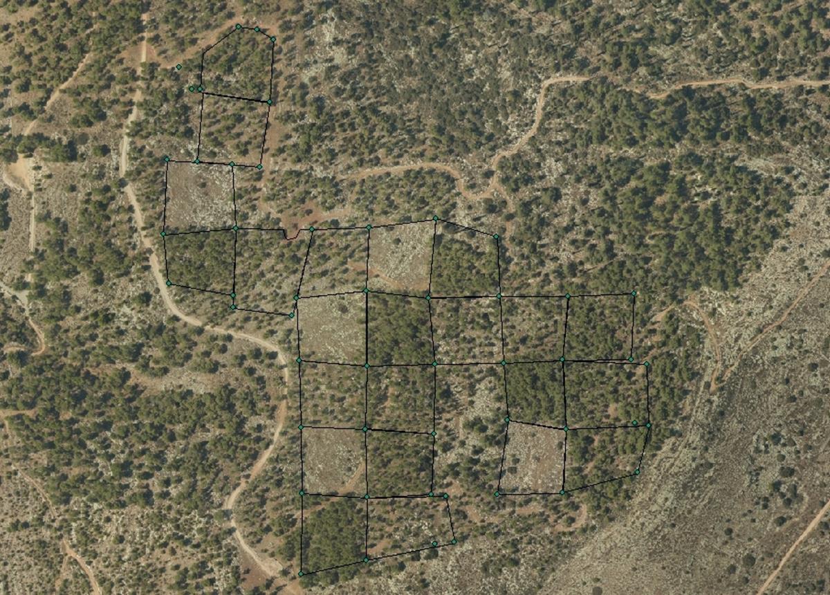
The Kedoshim-forest Long Term Ecological Research (LTER) is an experimental set up established in 2008 in a mature Pinus halepensis forest. This long-term research was designed to address silvicultural issues related to the management of mature, first generation, man-made, pine forest ecosystems in Israel and the design of their next generations as sustainable multiple-use forests. The Kedoshim LTER site is part of the Israeli LTER network - MAARAG. The Kedoshim LTER site provides a comprehensive well designed experimental infrastructure to study long-term effects of silvicultural manipulation (specifically overstory thinning) on vegetation dynamics, forest structure and ecosystem function. Four overstory thinning treatments were applied within 70×70 research plots: 1) clear cut, 2) heavy thinning – 100 tree ha-1 (65% reduction in stem basal area), 3) moderate thinning – 300 tree ha-1 (35% reduction in stem basal area) and, 4) control with no thinning – ca. 500 tree ha-1. Additionally, adjacent non-forested area was assigned as a reference. Climate and microclimate and various aspects of vegetation dynamics, forest function and biodiversity are monitored continuously since the application of thinning treatments.
-
The site is situated in the East Styrian lowlands and hills, the woodland community being an Oak-Hornbeam forest and was established in 1997. The main research questions center around (site) water balance and different patterns of water consumption of different tree species. In order to address the research questions, the site is instrumented with on-line registering climate stations as well as on-line soil water content measurements, soil temperature measurements as well as sap flow measurements. These data are complemented with data on soil physics, rooting densities, stand growth and LAI. Main results demonstrate very clear seasonal patterns, which may lead to drought stress of conifers (Norway spruce) resulting in unstable stands prone to secondary (f.e. insect) damage. So far the site has been used by three national and 2 international projects.
-
The site Bily Kriz (Bílý Kříž) is located in Moravian-Silesian Beskids Mountains. Ecosystem type: Managed secondary pure Norway spruce stand. Prevailing species: Norway spruce (Picea abies [L.] Karst.) Height of the stand: 17 m (2016) Understory: Vaccinium myrtillus L. Year of plantation: 1981 by 4 years old seedlings
-
The site is located next to Wettingen in the canton of Aargau, within a natural, mixed forest stand which mainly consists of 150 year-old beech (Fagus sylvatica) and 120-170 year-old spruce (Picea abies) trees. Among others, the site is equipped with two meteorological measurement stations; one is located within the forest stand, the second is co-located in the nearby open-field, allowing to measure the forest stand effect on micro-climate. The following parameters are being measured since 2013: Soil solution chemistry (lysimeters), TREENET, atmospheric deposition (throughfall and bulk deposition), circular vegetation plots, crown condition assessment, diameter and height measurements, foliar analyses, leaf area index (LAI), litterfall, manual circumference band measurements, Ozone visible injury assessment, permanent vegetation quadrats, phenological observations, sapflow measurements, soil matrix chemistry, tree core sampling, automated point dendrometer measurements, automatic circumference band measurements.
-
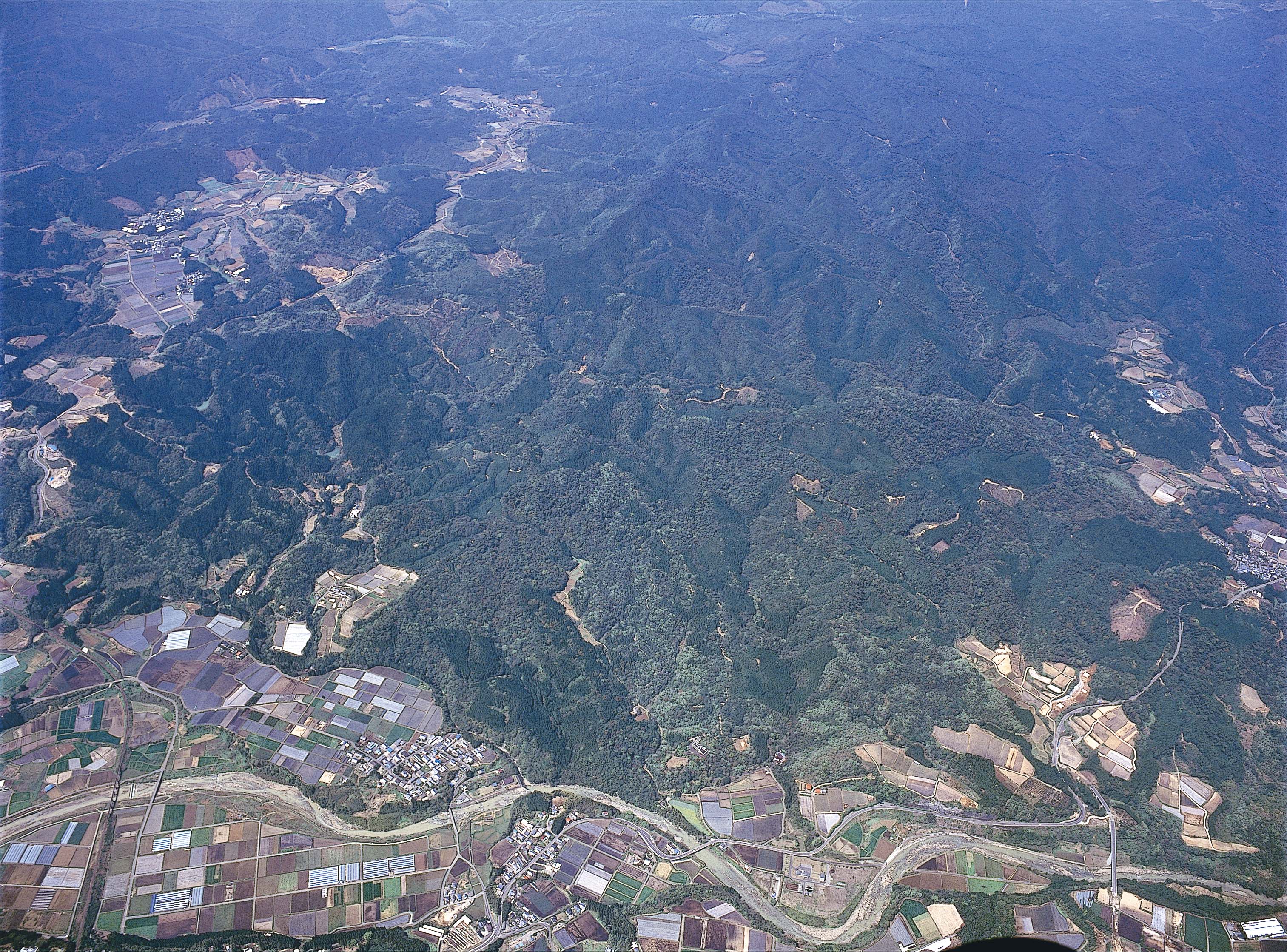
The site named Miyazaki University Forests is located hilly region in southern part of Kyushu island, Japan. The site is managed by University of Miyazaki to promote scientific research and education about forest ecology and forest industry. Dominant vegetations are evergreen broadleaved forest and Japanese cedar plantation. The Miyazaki University Forests perform various joint studies and is the most active research site located in warm-temperate forest area in Japan.
-
The Yatir Research site was set up in 2000 at the center of the Yatir Forest, a 2'800 ha afforestation system of mainly P. halepensis trees, and is located on the southern end of the Hebron mountain range and at the northern edge of the Negev desert (31° 20’ N; 35° 3’ E; elevation 600 to 850 meters above sea level). Most of the area was planted during the 1960s-1970s. The site is located in the transition zone between the semi-arid and arid Mediterranean climates. Average air temperature for January and July is 10 and 25°C, respectively. Mean annual potential ET is 1600 mm, and mean annual precipitation is 285 mm. Only winter precipitation occurs in this region, creating a distinctive wet season (winter, December to March) and an extended dry season (summer, June to October), with short transition periods between them: a wetting season (autumn) and a drying season (spring). Research in the site mainly focuses on ecophysiology and ecohydrology, energy, carbon and water budgets, influence of stand density (through manipulation experiments), boundary layer dynamics and ecosystem interactions with the climate.