
carbon-to-nitrogen ratio
Type of resources
Available actions
Topics
Keywords
Contact for the resource
Provided by
Years
Formats
Representation types
-
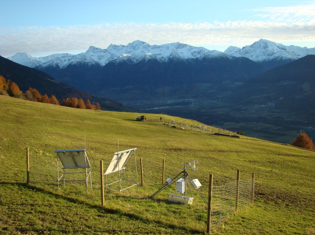
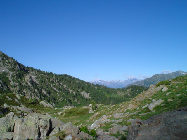
Muntatschinig (Monteschino) is a 25m x 15m grassland site (managed meadow) on 1480m. The site was first established in 2008 as a weather station and is still the most extensive of the four sites. In 2010 the University of Innsbruck installed an eddy covariance station. Nine automatic lysimeters were added to measure evapotranspiration and water use efficiency. Since 2012 a rain-out shelter system has been used for simulating spring and summer droughts. This site is one of the sites along the elevation transect used for grassland transplantation experiments.
-
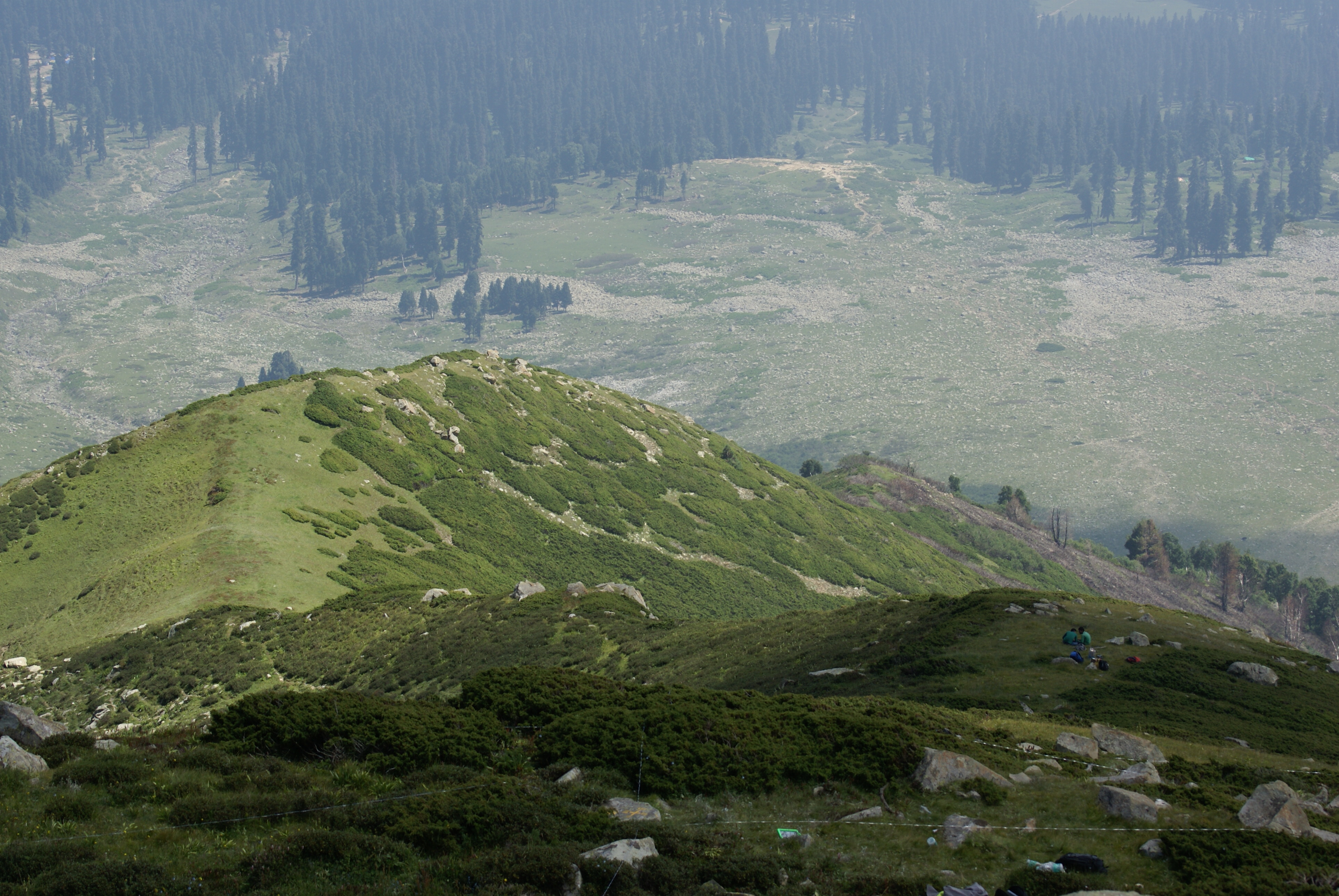
Dynamics of alpine tree line has been reported from several mountain ranges in Europe, in North America, New Zealand as well as in the Alps (Grabherr et al. 1994). This led to the formation of the GLORIA (Global Observation Research Initiative in Alpine Environments) project, dedicated to initiate a global indicator network towards research on the effects of climate change through an international co-operation. Indian part of Himalaya was not having any site towards this mission till 2013. Therefore, based on some Indian studies which also indicated this trend in more pronounced manner, the need of having Indian network was felt. It was in this context as a part of network project across the Indian Himalayan states under the banner of HIMADRI (Himalayan Alpine Dynamics Research Initiative) a long-term monitoring site was established in Kashmir Himalaya at Gulmarg, a famous hill resort. This particular work plan (TeaComposition initiative) is conducted at this selected HIMADRI site. Gulmarg lies on the north east side of the Pir Panjal Range and is about 60 kms west of Srinagar city. It encompasses the upper catchment area of Ferozpur Nullah and the forests that surround the Gulmarg meadow. The vegetation in Gulmarg mainly comprises of coniferous temperate mountain forests of Blue Pine (Pinus Wallichiana), sub-alpine forests of Silver Fir (Abies pindrow) and Himalayan Birch (Betula utilis), followed by alpine scrub and meadows.
-
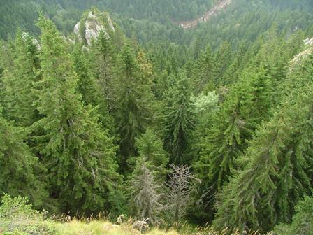
Kopaonik is the largest and the longest mountain range in Serbia located in its central part. It is proclaimed a national park in 1981. The observatory site in Kopaonik is located in strictly protected spruce forest, on the lower distribution of spruce zone on the border zone with beach forest. The mountain is characterized by alternating climate conditions; from warmer sub-mediterranean climate in the lowest part of the mountain to cold subalpine climate in high elevation areas. Vertical profile of the mountain with different climate zones and geological diversity resulted in high habitat diversity. The largest part of the area is covered by climatologically adapted mixed deciduous and coniferous forest having obvious zonal transition. A large number of endemic and relict plant species makes Kopaonik one of the most significant biodiversity centers in Serbia. Main threats to the area besides soil erosion present logging, deforestation and tourism.
-
Grazing research site
-
Mars, Mont Mars, (Fontainemore, Aosta)
-
Heshan station (112 °54' E, 22 °41' N) is located in Heshan County, Guangdong Province, China. It is one of the core stations of the Chinese Ecological Research Network (CERN) of the Chinese Academy of Sciences (CAS.). The station was co-established by South China Institute of Botany (Renamed as South China Botanical Garden in 2002), CAS and Heshan Institute of Forest Science in 1984 based on the experience and knowledge of previous studies in a degraded costal ecosystem. Natural Conditions:The station is located in the central part of Guangdong Province with a typical climate of south subtropical monsoon. The soil is laterite. The mean annual temperature is 21.7 C, the mean rainfall is 1700 mm, and the mean evaporation is 1600 mm. The region is a hilly agricultural zone with 78.6% of hilly land, 17.1% of farming land and 4.3% of water body. The zonal vegetation is evergreen broad-leaved forest of typical subtropics. Research Areas:The research areas of the station include but not limited to the followings: 1) Study on canopy water flux of Acacia mangiun forest in the hilly lands of South China by applying sap flow technique; 2) Ecosystem carbon cycling; 3) Conservation genetics of cryptocarya chinensis population in lower subtropical fragmented forest; 4) N2O emission from main types of agricultural and forest lands in tropical and lower subtropical region of China; 5) comparative study on restoration progress between degraded tropical and subtropical ecosystems; 6) effects of landfills on soil biota and water quality; 7) impacts of forest composition on restoration progress; 8) mechanisms of adaptation of invasive species; 9) effects of girdling and defoliation on plant resource use efficiency and soil processes (root exudation, soil respiration and soil biota); 10) confounding effects of manure application on eucalyptus forest and on NEP (Net Ecosystem productivity); 11) nematodes as bio-indicators of different ecosystems.
-
More than half is covered by plantations of Cryptomeria japonica and Chamaecyparis obtusa. In natural forest areas, Abies firma and Tsuga sieboldii are dominant. In the deciduous broad-leaved forests located over 950m above see level, Fagus crenata is observed.
-
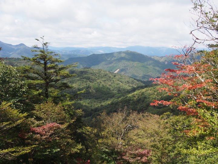
The Shiiba Research Forest (SRF) is located in the Kyushu Central Mountains at central part of Kyushu Island. The altitude ranges from 660 to 1607 m. Therefore, the climates in SRF is varied from warm-, and middle temperate to cool-temperate. The SRF is on the steep mountains consist of metamorphic rocks formed during Mesozoic era in the Cretaceous period to Cenozoic era in the Paleogene period in the eastern parts, and granite in the western parts of SRF. The SRF have the wide range of climate, geological and topographic conditions, which prove wide range of vegetation types. The natural forests are mainly cool-temperate deciduous broad-leaved forests consist of Fagus crenata, Quercus crispula, Stewartia monadelpha and so on, middle temperate mixed forests consist of deciduous broad-leaved trees and conifers such as Abies firma, Tsuga sieboldii and Pinus densiflora, and the warm temperate forests consist of evergreen broad leaved trees in lower altitude area. The plantation forests composed predominantely of Cryptomeria japonica and Chamaecyparis obtusa cover about 18% of the total area of SRF.
-
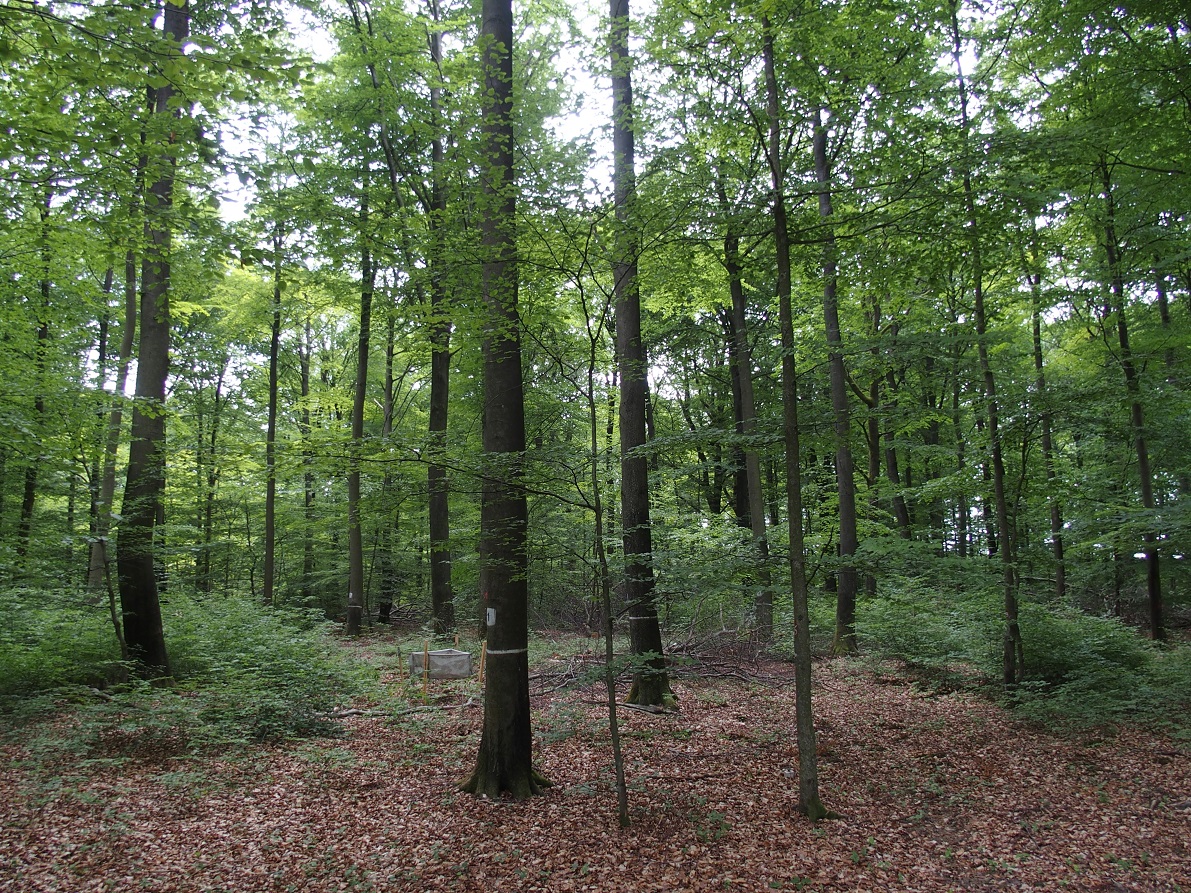
ICP forest monitoring plots: 0.5 ha of fenced stand + 20 m buffer area. Managment, data collection and reserch activities carried on by catholic university of Louvain (UCL)
-

Hydrometeorological and biogeochemical observations within 5 embedded catchments (from 0.2 to 14.5 km2). Alpine Mediterranean climate with heavy rainfall and flash floods in automn. The geology is mainly granite. The land use is mainly grassland and forest. More information at http://www.ohmcv.fr