
conductivity
Type of resources
Available actions
Topics
Keywords
Contact for the resource
Provided by
Years
Formats
Representation types
Update frequencies
-
runoff measurement of the rock glacier Outer Hochebenkar
-
Dataset provides information about conductivity determined at 20°C (in µS cm-1) in Lake Paione Superiore(LPS) at different layer depths collected at least twice per year(late summer/autumn) during the period 1984-2013. In total 283 records of conductivity in LPS for the period 1984-2013 are uploaded. The range of the parameter is from 5,44 to 16,69 µS cm-1(±1,62). The ongoing studies of the water chemistry of Paione lakes aimed at monitoring their recovery from acidification and/or possible responses to climate warming. The Paione lakes (Inferiore and Superiore) are an example of acid-sensitive environments which began in the 1990s to show signs of recovery, with an improvement in pH values and alkalinity and a decrease in sulphate concentrations in response to atmospheric loads.
-
Dataset provides information about conductivity determined at 20°C (in µS cm-1) in Lake Paione Inferiore (LPI) at different layer depths collected at least twice per year(late summer/autumn) during the period 1984-2013. In total 279 records of conductivity in LPI for the period 1984-2013 are uploaded. The range of the parameter is from 6,4 to 18,84 µS cm-1(±1,585). The ongoing studies of the water chemistry of Paione lakes aimed at monitoring their recovery from acidification and/or possible responses to climate warming. The Paione lakes (Inferiore and Superiore) are an example of acid-sensitive environments which began in the 1990s to show signs of recovery, with an improvement in pH values and alkalinity and a decrease in sulphate concentrations in response to atmospheric loads.
-
The LTER site Zöbelboden was equipped with highly modern infrastructure to assess the effects of extreme climate events on the forest ecosystem. The instruments include eddy covariance measurements for CO2 and water vapor fluxes at a tower (900 m a.s.l), and soil respiration auto-chambers, as well as combined sap flow sensors with automated dendrometers in the main footprint area of the eddy tower. This is the so called intensive plot 2 (IP2), which is equipped by a number of different field measurement devices for long-term monitoring (lysimeters water sampling, soil moisture and temperature sensors, manual dendrometers, deposition, litter fall) and supplemented by other monitoring activities (tree inventory, needle and leaf chemistry, soil chemistry). An optical multi-parameter probe for dissolved nitrogen and carbon was installed in the measuring weir of the catchment runoff at 577 m a.s.l. There, weekly water quality, runoff, and meteorology is monitored since many years. The related metadata refer to the runoff multiparameter measurements. The data can be viewed and downloaded via the link provided using the station name "ZOE_0551P00"
-
Dataset provides information about conductivity determined at 20°C (in µS cm-1) in Lake Paione Superiore(LPS) at different layer depths collected at least twice per year(late summer/autumn) during the period 2014-2020. In total 37 records of conductivity in LPS for the period 2014-2020 are uploaded. The range of the parameter is from 5,44 to 16,69 µS cm-1(±1,62). The ongoing studies of the water chemistry of Paione lakes aimed at monitoring their recovery from acidification and/or possible responses to climate warming. The lake is included in the monitoring sites of the UN-ECE Program ICP WATERS (International Cooperative Programme on Assessment and Monitoring of Acidification of Rivers and Lakes) and in the NEC-Italy network. It is also a research site of the LIFE MODERn NEC Project (LIFE20 GIE/IT/000091).
-
Dataset provides information about conductivity determined at 20°C (in µS cm-1) in Lake Paione Inferiore (LPI) at different layer depths collected at least twice per year(late summer/autumn) during the period 2014-2020. In total 47 records of conductivity in LPI for the period 2014-2020 are uploaded. The range of the parameter is from 6,4 to 18,84 µS cm-1(±1,585). The ongoing studies of the water chemistry of Paione lakes aimed at monitoring their recovery from acidification and/or possible responses to climate warming. The lake is included in the monitoring sites of the UN-ECE Program ICP WATERS (International Cooperative Programme on Assessment and Monitoring of Acidification of Rivers and Lakes) and in the NEC-Italy network. It is also a research site of the LIFE MODERn NEC Project (LIFE20 GIE/IT/000091).
-
Water level, discharge, water temperature, conductivity and turbidity measured every ten minutes in the Bras-David river, at the Maison de la Foret site. A hydrologic station, located at the « Maison de la Foret » site, monitors the hydrology of the Bras-David river. The station is equipped with a pressure sensor (CS451, Campbell Scientific Inc.) measuring the river stage, a turbidimeter (OBS3+, Campbell Scientific Inc.) measuring the turbidity of the river, a conductivity probe (CS547A, Campbell Scientific Inc.) monitoring the water conductivity, 2 temperature probes embedded in the conductivity and the pressure sensors. These sensors are connected to a datalogger (Campbell CR800) which records the data. A gaujing curve, regularly updated by the DREAL Guadeloupe, relates the river discharge to the water stage.
-
Water level, discharge, water temperature, conductivity and turbidity measured every ten minutes in the Bras-David river, at the Maison de la Forêt site. A hydrologic station, located at the « Maison de la Forêt » site, monitors the hydrology of the Bras-David river. The station is equipped with a pressure sensor (CS451, Campbell Scientific Inc.) measuring the river stage, a turbidimeter (OBS3+, Campbell Scientific Inc.) measuring the turbidity of the river, a conductivity probe (CS547A, Campbell Scientific Inc.) monitoring the water conductivity, 2 temperature probes embedded in the conductivity and the pressure sensors. These sensors are connected to a datalogger (Campbell CR800) which records the data. A gaujing curve, regularly updated by the DREAL Guadeloupe, relates the river discharge to the water stage.
-
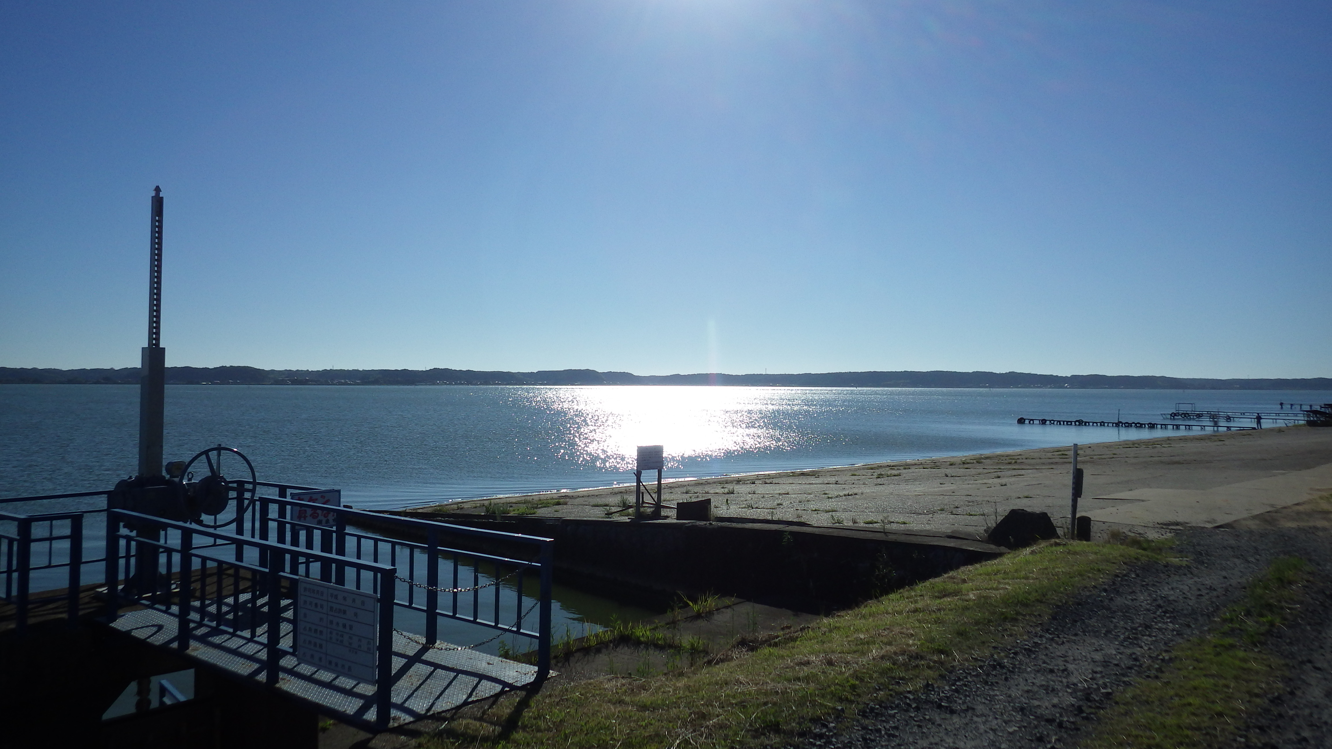
Lake Kitaura is typical eutrophic lake in Japan. The maximum and average depth is 10 m and 4.5 m, respectively.
-
This data set comprises vertical profile data measured by an YSI probe at the deepest site of Lake Mondsee in 2015.