
deadwood decaying rate
Type of resources
Available actions
Topics
Keywords
Contact for the resource
Provided by
Years
Formats
Representation types
-
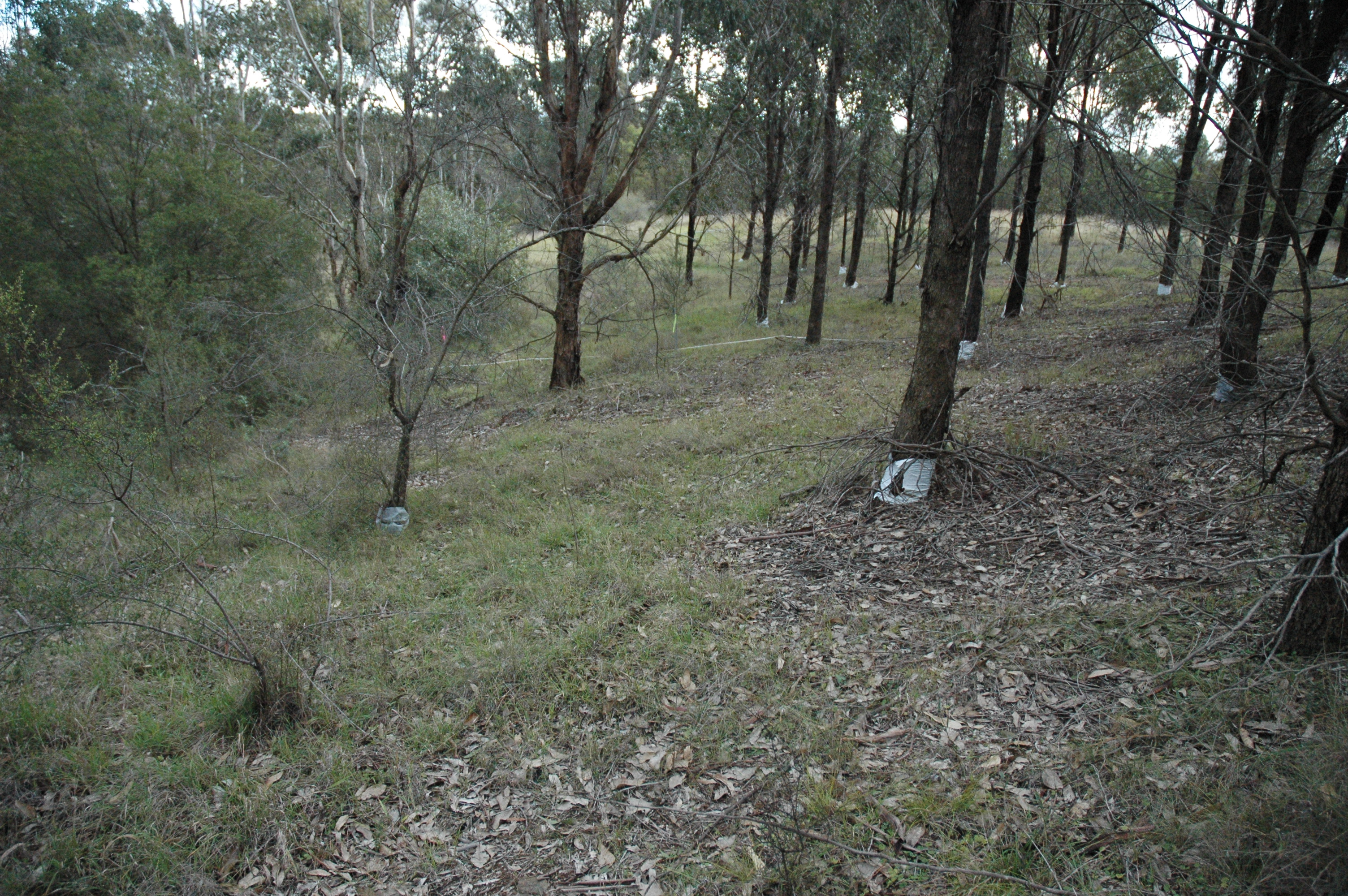
The Woodland Restoration Plot Network is located in the Cumberland Plain, Western Sydney, NSW, Australia with the objective to develop robust methods for evaluating the success of native woodland restoration on retired agricultural land and apply them to a major restoration project of an endangered ecological community. The plot network aims to determine whether the composition and structure of restoration plantings undertaken between 1992 and 2002 are on a trajectory from abandoned exotic pasture towards comparatively undisturbed remnant vegetation. The data gathered will inform future restoration efforts. Between 2012 and 2018 the Woodland Restoration Plot Network was is a member of Long Term Ecological Research Network (LTERN), Australia, a facility of the Australian Government's Terrestrial Ecosystem Research Network (TERN).
-
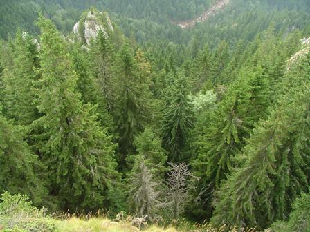
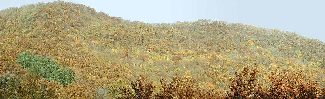
Kopaonik is the largest and the longest mountain range in Serbia located in its central part. It is proclaimed a national park in 1981. The observatory site in Kopaonik is located in strictly protected spruce forest, on the lower distribution of spruce zone on the border zone with beach forest. The mountain is characterized by alternating climate conditions; from warmer sub-mediterranean climate in the lowest part of the mountain to cold subalpine climate in high elevation areas. Vertical profile of the mountain with different climate zones and geological diversity resulted in high habitat diversity. The largest part of the area is covered by climatologically adapted mixed deciduous and coniferous forest having obvious zonal transition. A large number of endemic and relict plant species makes Kopaonik one of the most significant biodiversity centers in Serbia. Main threats to the area besides soil erosion present logging, deforestation and tourism.
-
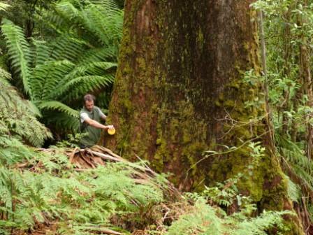
The Victorian Tall Eucalypt Forest Plot Network is located in the Central Highlands of Victoria, Australia and its research infrastructure is comprised of stratified 1-ha long-term plots within 3-ha monitoring sites. Between 2012 and 2018 the Victorian Tall Eucalypt Forest Plot Network was a member of the Long Term Ecological Research Network (LTERN), Australia, a facility of the Australian Government's Terrestrial Ecosystem Research Network (TERN).
-
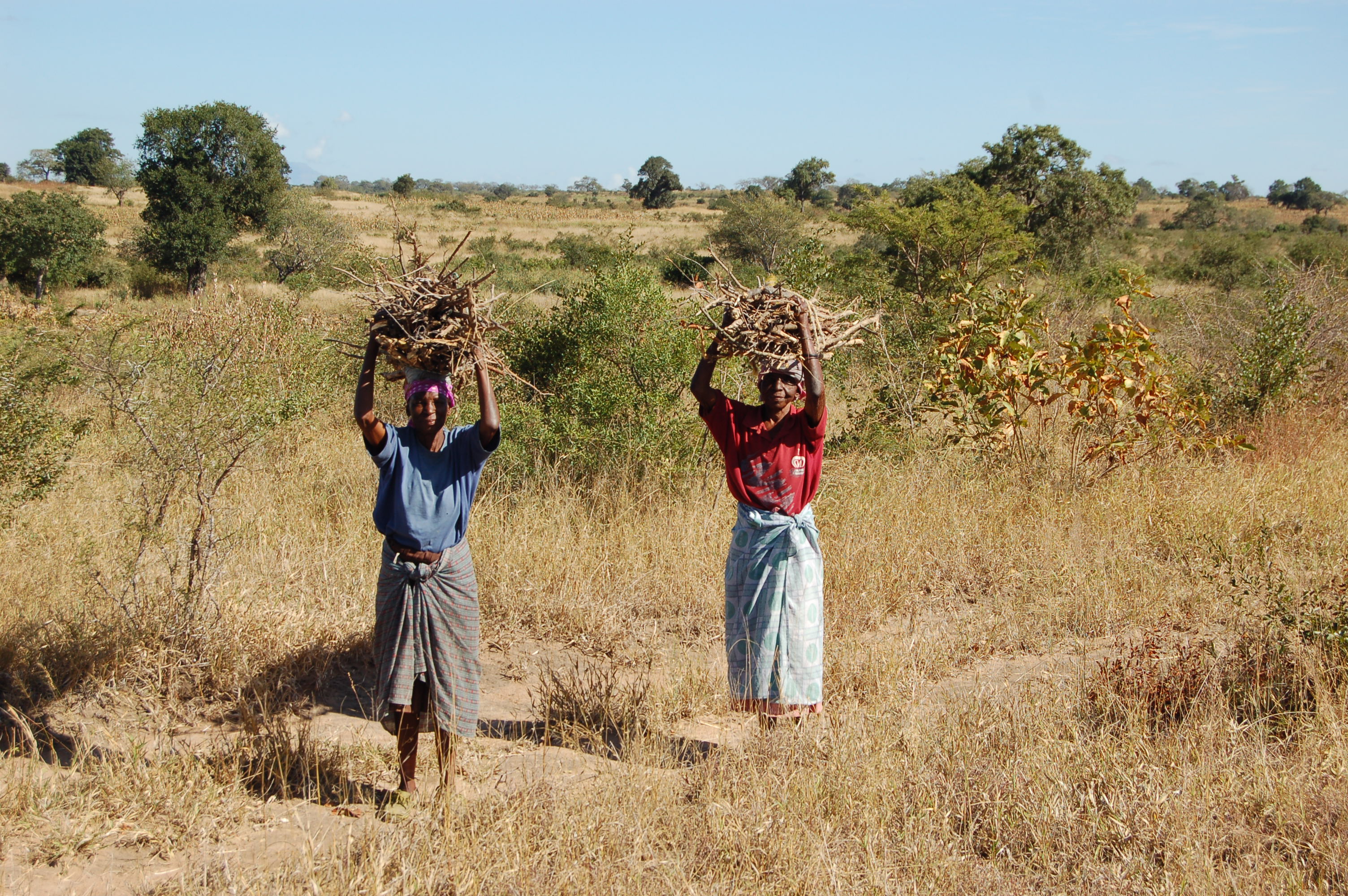
A developing long-term research site, designed to determine the effects of harvesting of natural resources (particularly fuelwood) and domestic livestock on the biodiversity and ecosystem functioning of a savanna ecosystem.
-
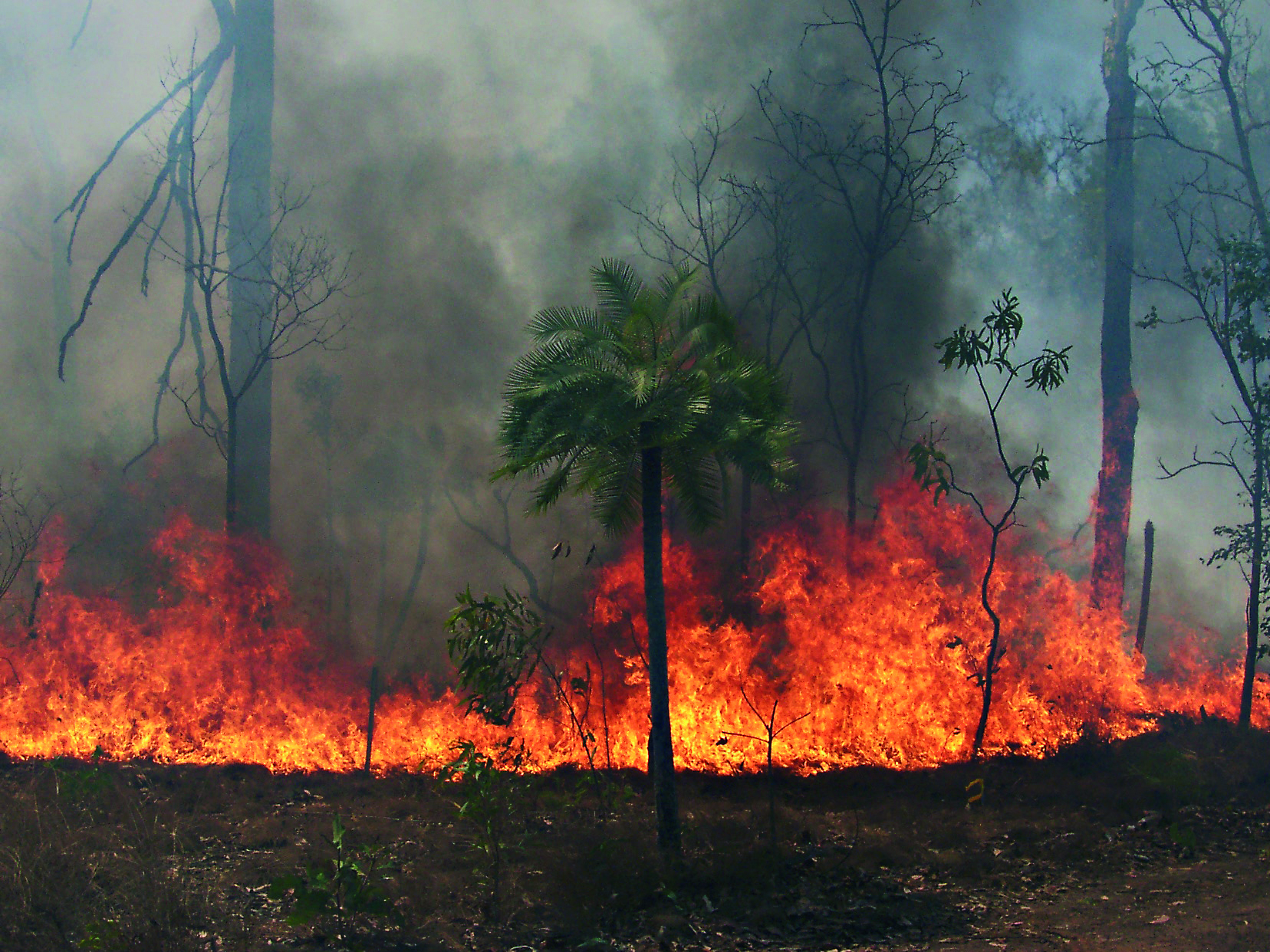
The Three Parks Savanna Fire-Effects Plot Network extends across three national parks (Kakadu, Litchfield and Nitmiluk) in the Top End of the Northern Territory. The fire monitoring program comprises two complementary components: satellite based mapping of fire events and on-ground assessment of change in biota at a set of permanent plots. Temporal visits are as follows: • 6 months (fire occurrence), • 4 months (fire mapping), • 5 years (vegetation), • opportunistic (fauna). Between 2012 and 2018 the Three Parks Savanna Fire-Effects Plot Network was a member of Long Term Ecological Research Network (LTERN), Australia, a facility of the Australian Government's Terrestrial Ecosystem Research Network (TERN).
-
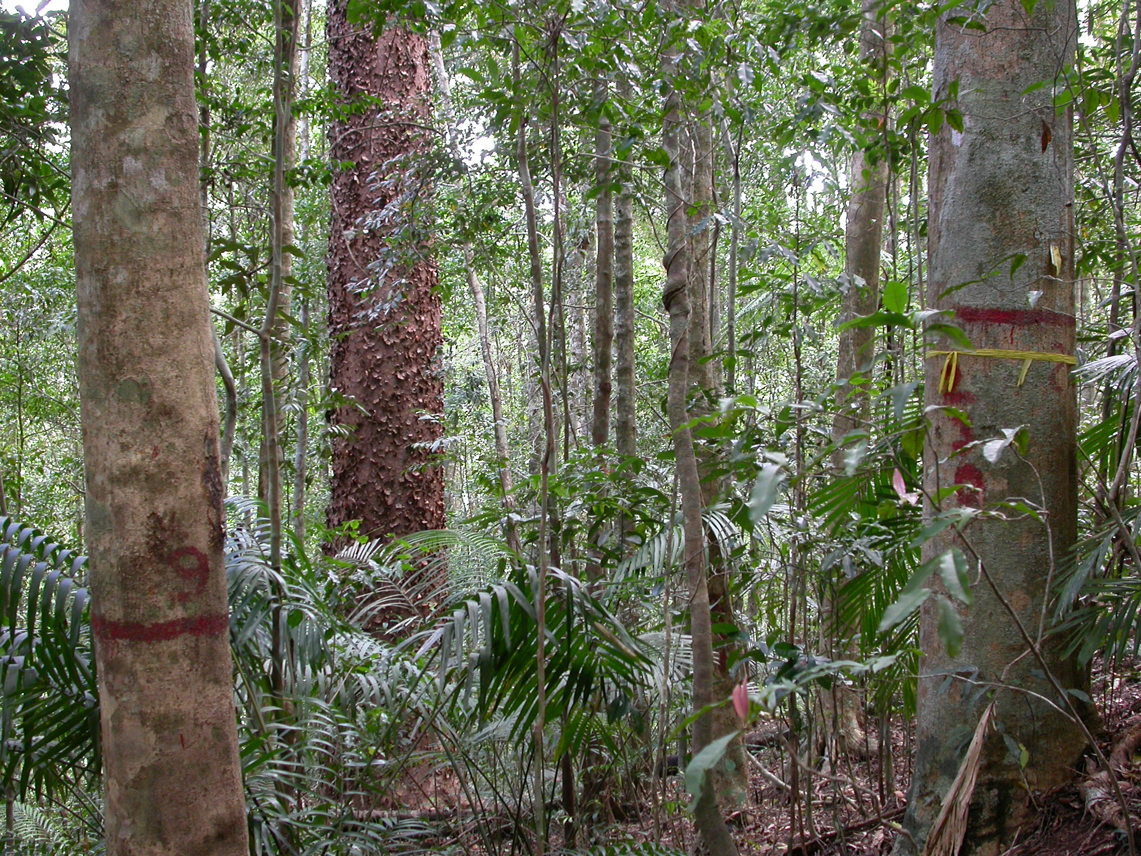
The Connell Rainforest Plot Network long-term forest dynamics plot of Davies Creek is located in the Dinden National Park circa 25 km southwest of Cairns, Northern Queensland. Temporal visits occur between 1 to 6 years. Between 2012 and 2018 the Connell Rainforest Plot Network was a member of Long Term Ecological Research Network (LTERN), Australia, a facility of the Australian Government's Terrestrial Ecosystem Research Network (TERN).
-
The Nanangroe Plantation Plot Network is located in the southwest slopes of NSW west of Lake Burrinjuck and includes four exotic Pine Plantations (Nanangroe, Cotway, East Bungongo and Bungongo), as well as private properties adjacent to those plantations. Its research infrastructure is comprised of an array of stratified 2-ha long-term plots. Temporal visits occur annually / biennially (rotating sampling program). Between 2012 and 2018 the Nanangroe Plantation Plot Network was a member of Long Term Ecological Research Network (LTERN), Australia, a facility of the Australian Government's Terrestrial Ecosystem Research Network (TERN)).
-
Forest inventory data of LTER Zöbelboden. Beginning in 1992 permanent inventory plots covering the site (64-70) and three intensiv monitoring plots (IP1, IP2, IP3) characterising the main forest types have been recorded approximately every 5 years. The data comprises tree species identity and status, tree height, canopy height, breast diameter among other parameters describing forest structure.
-
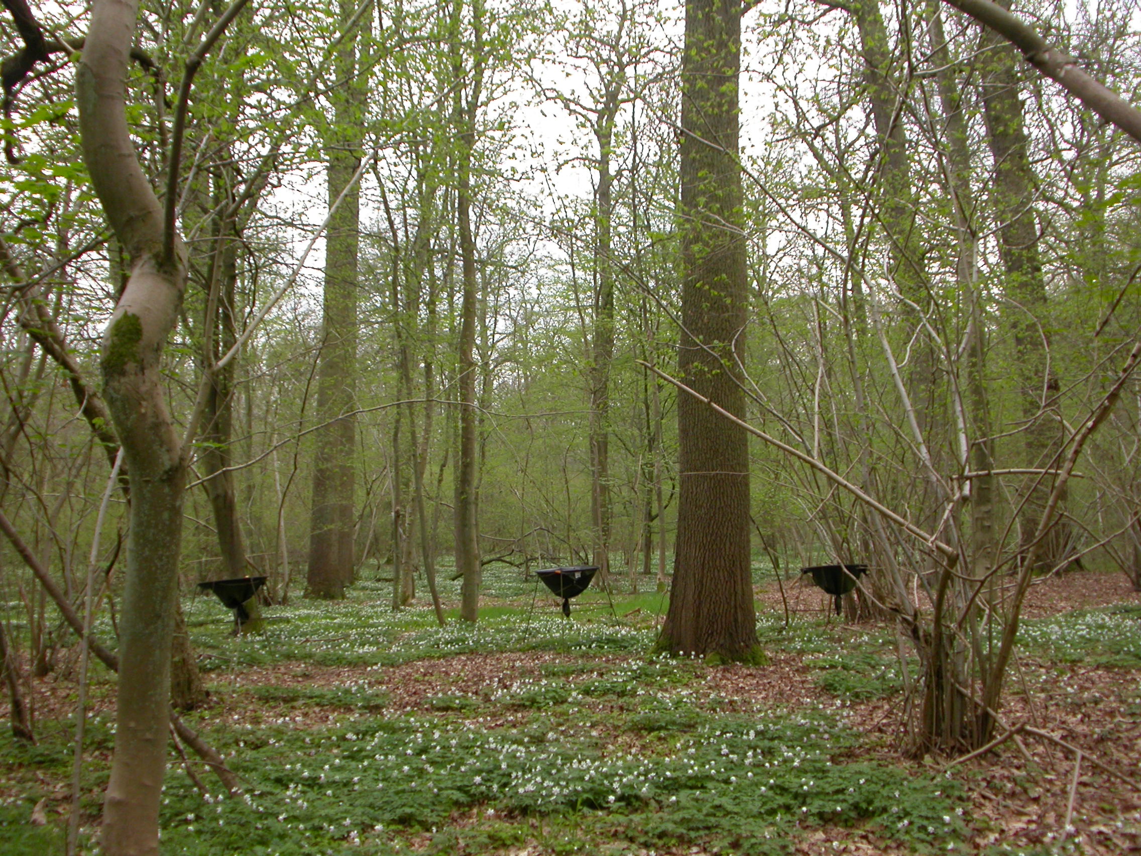
The Forest of Meerdaal is situated on the Belgian loess belt about 25 km south-east of Brussels. It is an ancient woodland site, previously managed as coppice with standards, well known history (up to the middle ages). It is managed as multifunctional forest containing strict forest reserves with dense sampling grid (measured every decade). its proximity to the university make it an ideal research subject. Over the years many different studies have been conducted and documented.
-
Central Europe maintains a considerable diversity of dry-mesic oak forests as the main representatives of zonal forest vegetation types in Hungary, covering the major part of foothills of the middle-range mountain, Inner Western Carpathians. The 669 m high, Triassic limestone hill called ‘Vár-hegy’ belongs to the Bükk Mountains. The annual mean temperature is about 8◦C and the annual precipitation is about 650 mm. The core area of the reserve (94 ha) is covered mainly by close-to-nature. long untouched oak dominated forests stands: Pannonic woods with Quercus petraea and Carpinus betulus; Pannonian-Balkanic Turkey oak-sessile oak forests; Pannonian woods with Quercus pubescens. It has been set aside for preservation in 1991, though several previous conservation acts had already secured almost spontaneous natural development of the stands. Most of the area was cut around 1880, however, several over-mature trees were retained. The intensive use in the previous centuries and during the world wars left a sessile oak dominated, 120-130-year-old, mostly coppice forest. The abandonment and the precedent severe oak decline contributed to generate a more diverse forest composition and structure developing towards a mixed forest with pronounced ‘old-growth’ characteristics.