
dispersal distance
Type of resources
Available actions
Topics
Keywords
Contact for the resource
Provided by
Years
Formats
Representation types
-
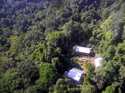
The site comprises 10,000 ha of pristine lowland rainforest in northern Papua New Guinea, owned by indigenous landowners from Wanang Village and declared as Conservation Area. The forest has >500 species of woody plants and largely intact, mildly hunted vertebrate communities. The site includes a field research station (phone, radio, accommodation, catering, solar power) accessible on foot or by helicopter. Further, the site has 50-ha forest dynamics plot from the Center for Tropical Forest Science network, with >300,000 stems tagged and monitored from 2012. There is significant background information on plants, birds, frogs, and several insect taxa. Insect monitoring programme is planned from 2013.
-
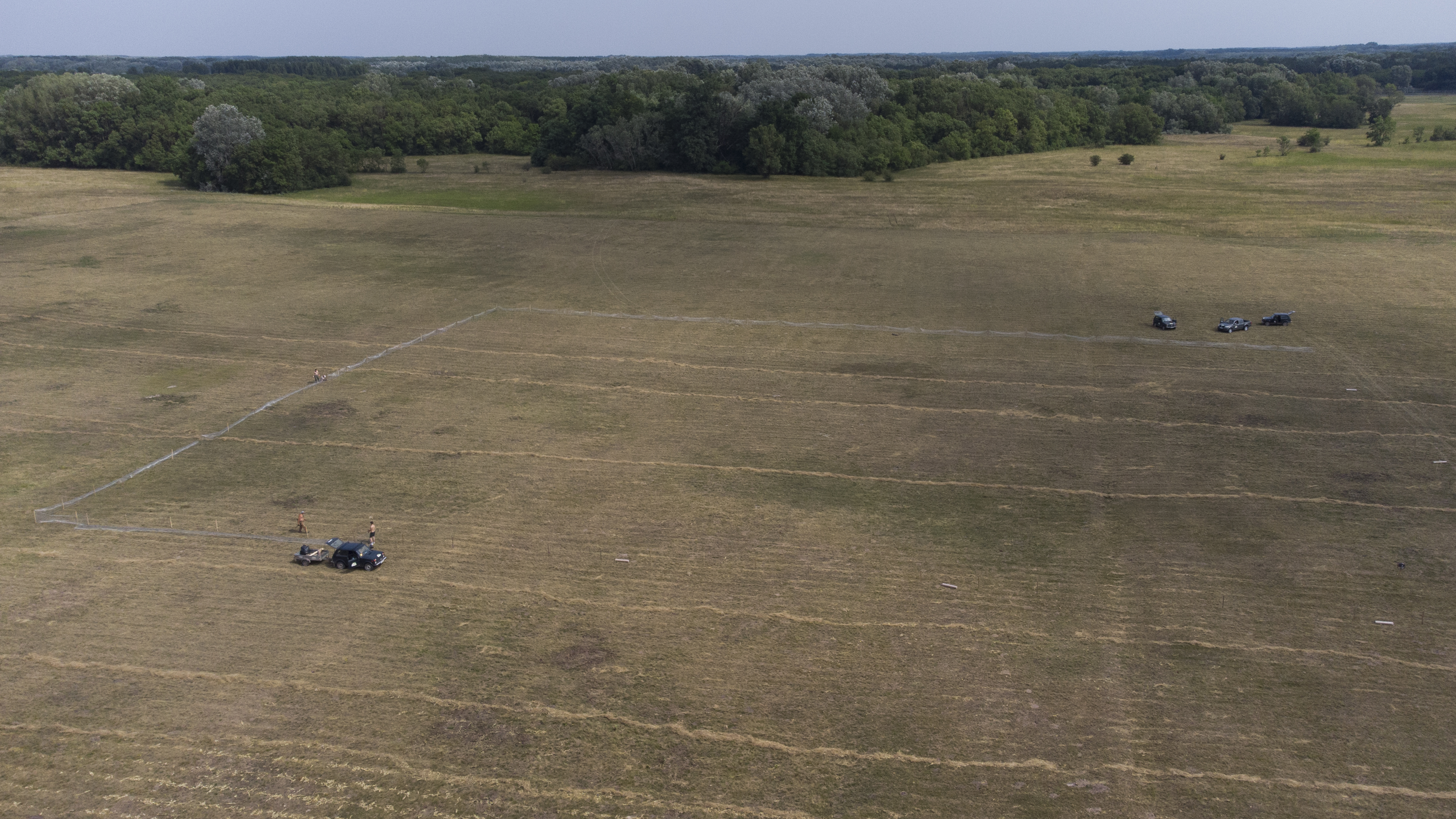
The site is a revitalized young steppe habitat patch, dominated by fescue (Festuca rupicola). The average altitude is around 100 m. The site is a grazing spot and it was recently used for the reintroduction of the European ground squirrel (Spermophilus citellus) to the area after 70 years. Other important species present at the site include Vojvodina blind mole rat (Nannospalax (leucodon) montanosyrmiensis) and Spring meadow saffron (Bulbocodium versicolor).
-
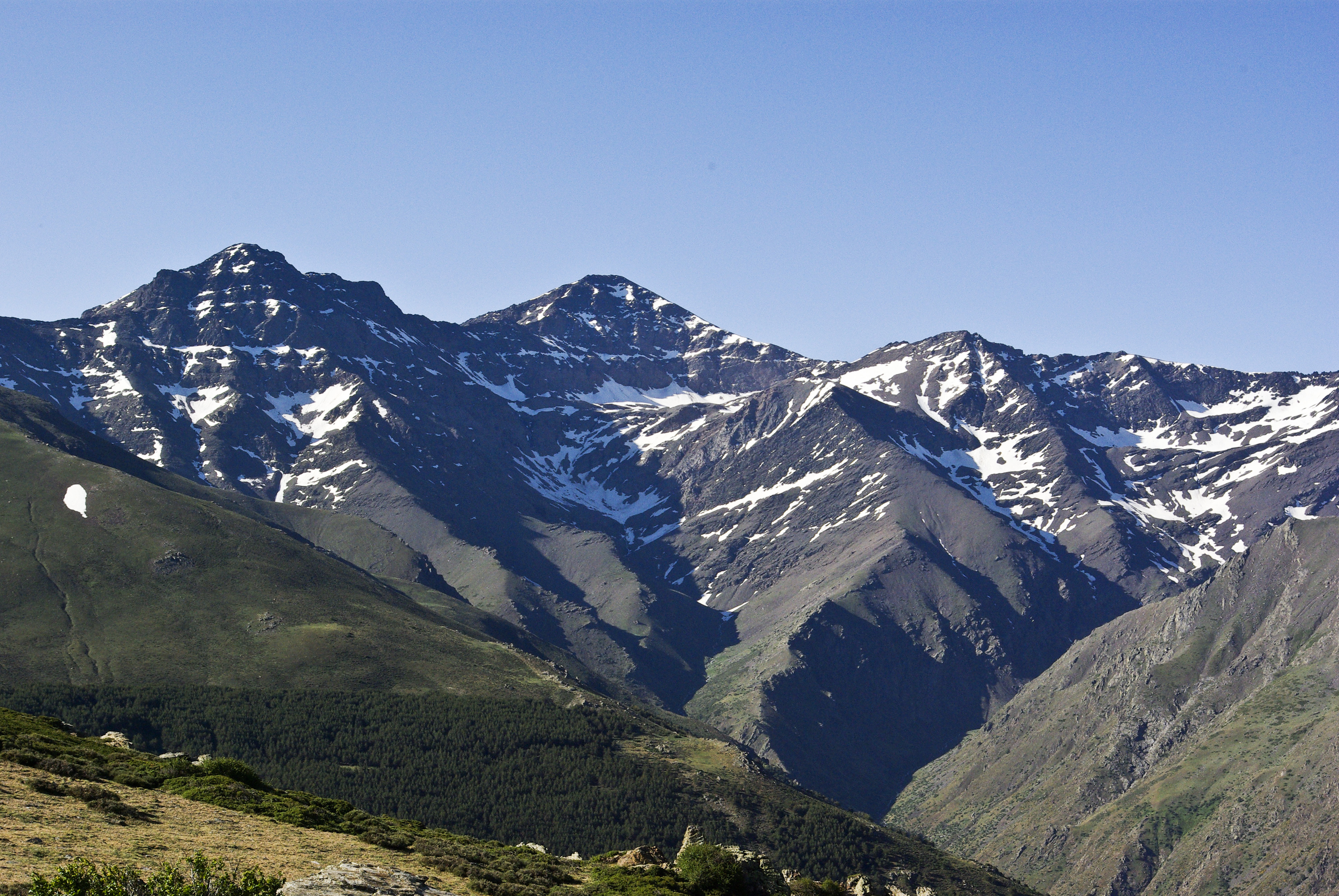
Mountain site, alpine forests Sierra Nevada (Andalusia, SE Spain), is a mountainous region with an altitudinal range between 860 m and 3482 m a.s.l. covering more than 2000 km2. The climate is Mediterranean, characterized by cold winters and hot summers, with pronounced summer drought (July-August). The annual average temperature decreases in altitude from 12-16ºC below 1500 m to 0ºC above 3000 m a.s.l., and the annual average precipitation is about 600 mm. Additionally, the complex orography of the mountains causes strong climatic contrasts between the sunny, dry south-facing slopes and the shaded, wetter north-facing slopes. Annual precipitation ranges from less than 250 mm in the lowest parts of the mountain range to more than 700 mm in the summit areas. Winter precipitation is mainly in the form of snow above 2000 m of altitude. The Sierra Nevada mountain range hosts a high number of endemic plant species (c. 80; Lorite et al. 2007) for a total of 2,100 species of vascular plants (25% and 20% of Spanish and European flora, respectively), being considered one of the most important biodiversity hotspots in the Mediterranean region. This mountain range has several legal protections: Biosphere Reserve MAB Committee UNESCO; Special Protection Area and Site of Community Importance (Natura 2000 network); and National Park. The area includes 61 municipalities with more than 90,000 inhabitants. The main economic activities are agriculture, tourism, cattle raising, beekeeping, mining, and skiing.
-
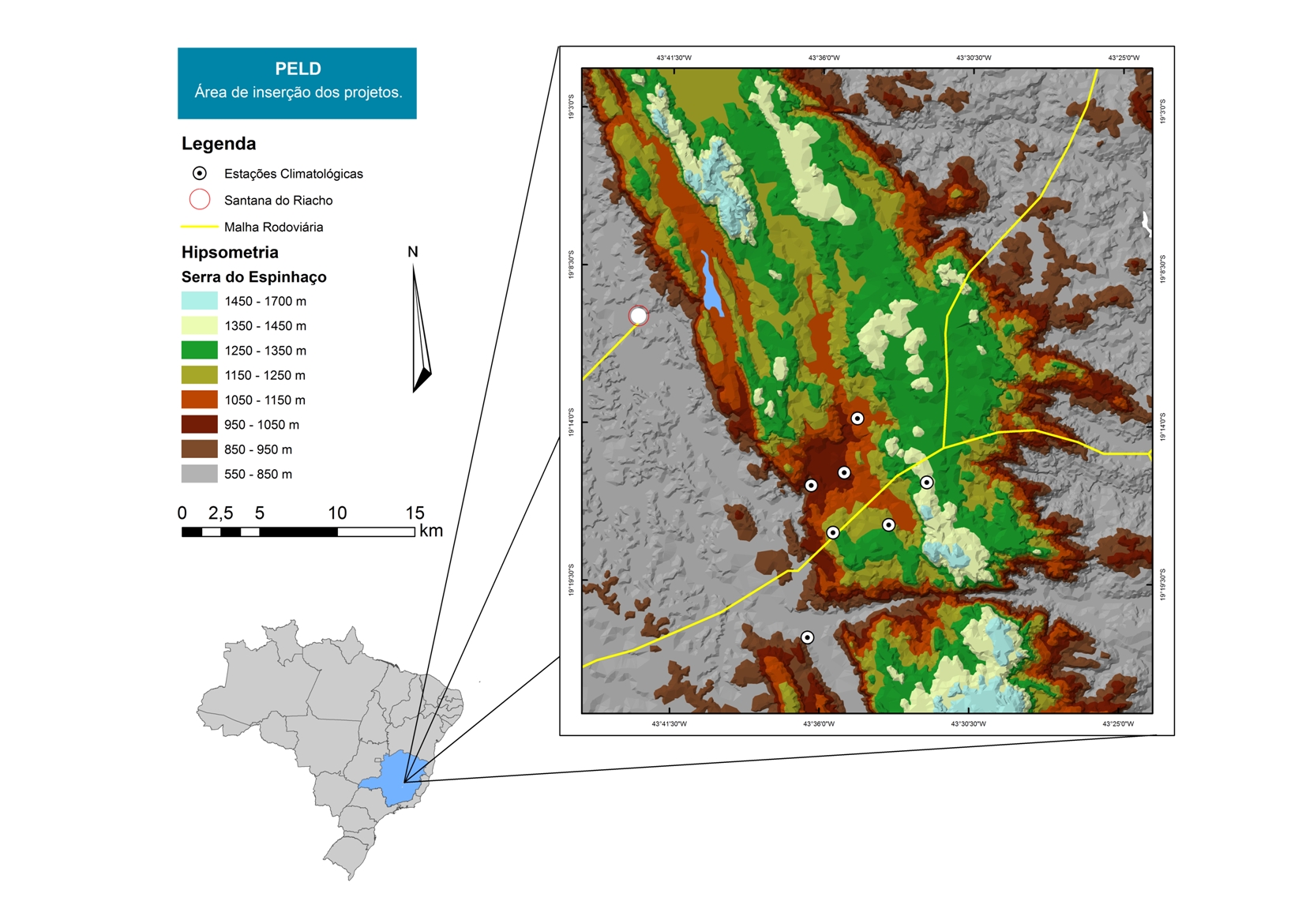
For over 20 years as a team of Long Term Sites in Serra do Cipó PELD-CRSC has been working to answer crucial questions of evolutionary ecology and provide a basis for understanding the spatio-temporal ecosystem functioning and it is future challenges with changes in climate and land use.
-

Historically, the role of the Galapagos Islands has been considered critical due to the evolutionary diversification induced by natural and historical isolation. The Galapagos National Park was established in 1959, based on its historical importance associated with Charles Darwin's voyage and its rare and endemic biodiversity, composed of unique vertebrate and plant communities (Rozzi et al. 2010). In 1978, the Galapagos Islands were declared a UNESCO World Heritage Site, a critical factor associated with this national park (Rozzi et al. 2010). The Galapagos Islands are a pristine area with local and regional climates influenced by the interaction of ocean currents and winds driven by the Inter-Tropical Convergence Zone; ITCZ (Conroy et al. 2008, Trueman and d'Ozouville 2010). The long-term programme includes forty natural aquatic ecosystems (lakes, ponds, lagoons and swamps) that will be sampled on the islands of San Cristobal, Santa Cruz, Isabela and Floreana, where possible along a lowland-highland gradient. The number of sampling points will vary according to environmental heterogeneity and the presence of a littoral region, among other factors.
-

The Cairngorms National Park is one of 15 National Parks in the UK (one of two in Scotland) and is Britain's largest National Park (4,528 km2). It is the location for some of the most spectacular landscapes in Britain and is home to an incredible diversity of wildlife and plants. http://cairngorms.co.uk/the-park/facts-figures/ The aims of the National Park are: • To conserve and enhance the natural and cultural heritage of the area; • To promote sustainable use of the natural resources of the area; • To promote understanding and enjoyment (including enjoyment in the form of recreation) of the special qualities of the area by the public; • To promote sustainable economic and social development of the area’s communities. Cairngorms National Park, seven broad habitats can be identified: • Enclosed farmlands • Woodlands • Open waters (rivers, lochs, wetlands and floodplains) • Mountains • Moorland • Semi-natural grasslands • Urban • Population of c17,500 • 25.8% of population over 60 (higher than Scottish average) • Average health index in top 25% of Scotland (based on deprivation indices) • Extensive core paths network • 55 Munros including 5 summits over 4000 feet • 3 ski centres • National Cycle Network Route 7 • 1 Long Distance Route (Speyside Way) • Relatively low atmospheric pollution • Annual precipitation over 2250mm on summits and under 900mm in straths • Average annual snow cover 200 days on summits and 50 days on low-ground • Prevailing winds from south-west