
dissolved organic carbon in soil
Type of resources
Available actions
Topics
Keywords
Contact for the resource
Provided by
Years
Formats
Representation types
-

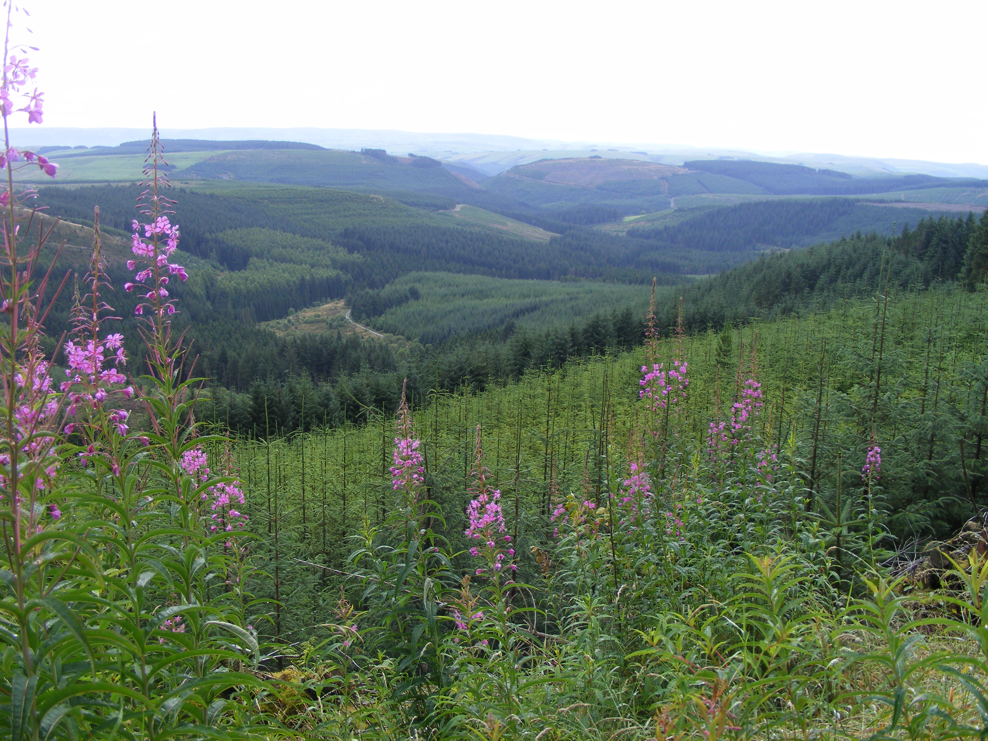
Hydrometeorological and biogeochemical observations within 5 embedded catchments (from 0.2 to 14.5 km2). Alpine Mediterranean climate with heavy rainfall and flash floods in automn. The geology is mainly granite. The land use is mainly grassland and forest. More information at http://www.ohmcv.fr
-
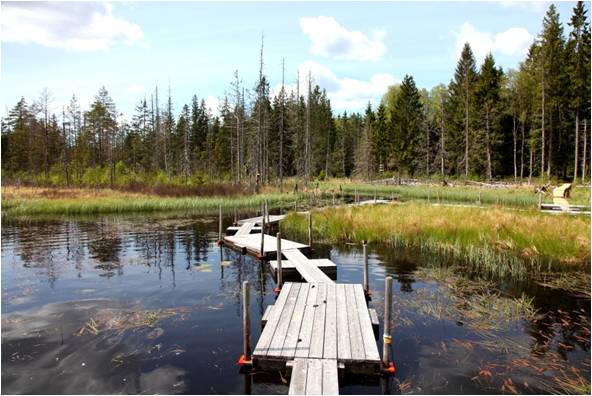
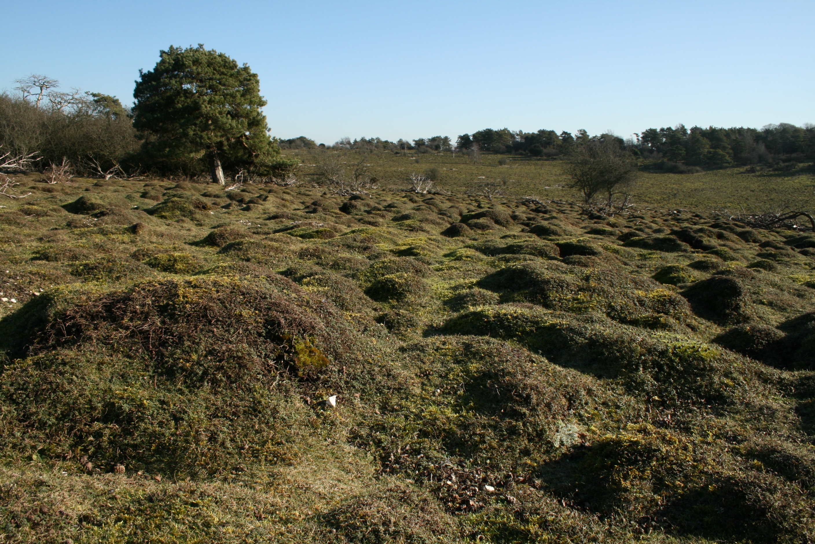
This is a Sphagnum dominated peatland located in the Pyrennées mountain.
-
Plynlimon is at the headwaters of the Rivers Severn and Wye. The infrastructure at Plynlimon consists of 10 instrumented research catchments representing different land use options on the same geological parent material. It is the UK’s Critical Zone Observatory, part of the EU and global network of CZOs and is an ExpeER site. The infrastructure records high temporal resolution river flow and meteorological data (40 year data record) and stream water and precipitation chemistry for cations, anions, trace metals, nutrients, pH and alkalinity (30 year data record) and some data for suspended sediment. The site has an extensive spatial data library including topography, digital terrain model (DTM), soils, geology and vegetation/land-use available, open access, through the Environmental Information Data Centre (https://catalogue.ceh.ac.uk/documents/91961a0f-3158-4d00-984d-91eb1e03e8bd). Sub sites in the catchments represent a range of upland management types: mature/clear cut/replanted conifer forest; acid grassland; eroding peatland; improved grassland.Samples analysed for a wide range of major, minor and trace components. Bulk precipitation and cloudwater chemistry is also measured at one location.
-
Soil data of LTER Zöbelboden, Austria. Soil inventory is carried out since 1992 on regular positions (approx 65) in the catchment measuring soil chemistry. Soil water chemistry is measured in forest plots (2-3) using lysimeter sampling and analyses on a bi-weekly to monthly basis. Soil hydraulic characterizations exist for the major soil types in the catchment. Soil CO2 and N2O respiration data is available for some years
-
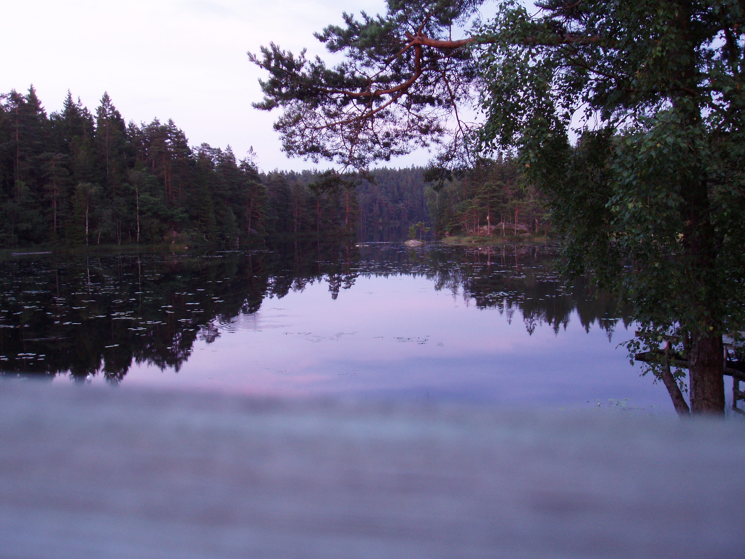
Skogaryd is designed and state of the art equipped for interdisciplinary landscape and atmospheric studies that encompasses the complete catchment from a pristine bog via streams, riparian zones and forests to lakes, as well as the subsequent exchange between the atmosphere and surface waters The station also elucidating Greenhouse Gas (GHG) emissions from drained organic forest soils and are used for testing ecosystem models. The terrestrial sites at Skogaryd measure GHG emissions with eddy covariance (EC), CO2, H2O and N2O/CH4 (site dependent) and abiotic/biotic variables. They also have automatic stream station (flow, DIC/DOC etc.) and will be equipped with cameras/spectrometers for phenological studies and satellite ground truth validation. The forest sites are equipped for below ground studies; suction/gas probes, fine root production, Mycorrhiza, sap flow, above litter fall, tree production etc. At the lake CO2, H2O and CH4 are measured with EC. Abiotic and weather data are monitored. The sites have electric power, internet connection, boardwalks, bridges or boats. They have capacity for chamber/profile studies and process studies.
-
Waroneu is a 83 ha forested catchment located in the east of Belgium (« Hertogenwald »: Duke's forest) within the municipality of Baelen. In 2011, it was covered with 38% conifers (mainly Picea abies), 45% deciduous trees (Fagus sylvatica, Quercus robur, Betula pendula), and 17% open space. Biogeochemistry (nutrient and organic carbon in throughfall, rainfall, soil solution and outlet) has been studied since 1991. The catchment was limed in 1992 with 3T/ha dolomite and 200 kg/ha potassium sulfate. Since 2013, biogeochemistry and soil microbial parameters (microbial biomass, N mineralization, basal respiration) are studied in 6 intensive plots, reflecting major combinations of vegetation and upper soil caracteristics within the catchment.
-
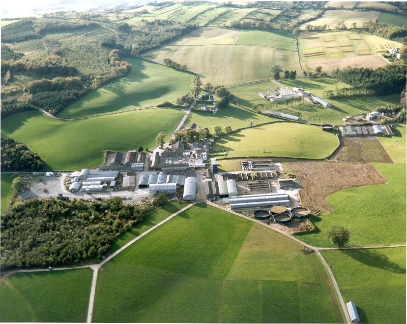
UK ECN site. A lowland grassland site situated at the Agri-Food and Biosciences Institute, Co. Down, Northern Ireland and representative of grassland in much of the north-western United Kingdom. There are several long-term field experiments ongoing on the site. A large part of the site is estate woodland (Hillsborough Forest) consisting of mature mixed woodland and conifer plantation. Many of the vegetation plots are located within this forested area, as are sections of the butterfly, carabid beetle, spider and bird transects. The Hillsborough premises had formerly been the home of Marquis of Downshire and then during the 1st world war had been used for cropping by local farmers. When the war ended agric commodities prices collapsed and large portions of the farm became derelict with rough grazing let out by public auction on a conacre basis from 1922-1926. The research station at Hillsborough was originally established in 1926 and incorporated by the Agricultural Research Station Act N.I. 1927. By 1931 263 acres was actively farmed.In 2006 the Agricultural Research Institute was amalgamated to form what is now called AGRI Food and Biosciences Institute.
-
The lake Gårdsjön catchment is 2.1 km2 and includes 5 lakes and a number of headwater streams. It is located 50 km north of Göteborg. The whole area has been intensively studied for the last 30 years by scientists from IVL and from other institutes from Sweden and from abroad. Since 1979 several both national and international projects have been carried out. Smaller sub-catchments were used for experiments ranging from clear cutting, liming, fertilisation, sulphur addition and a combination of these treatments. In 1989 two large manipulation experiments were initiated. In the “Roof” experiment catchment G1 was covered by a transparent plastic roof and for 10 years the polluted precipitation was substituted with clean artificial precipitation sprinkled under the roof in a de-acidification experiment. The adjacent catchment G2 has been fertilised with NH4NO3 since 1991 to study several aspects (soil, water, vegetation) transition from N limited to N saturated conditions. Research at Gårdsjön resulted in three books and a large number of publications, covering different environmental problems, a range of pollutants, aquatic and terrestrial parts of the catchment, soils, vegetation and organisms. The site has served as an educational centre with countless visitors both from Sweden and abroad.
-
UK ECN site. Dstl Porton Down is located in Southern England on the Wiltshire/Hampshire border. It is owned by Defence Science and Technology Laboratory (Dstl) and is used to deliver high-impact science and technology (S&T) for the UK's defence, security and prosperity. It has been closed to the public for over 100 years, resulting in it missing out on the agricultural revolution which affected the rest of the country. This is why it constitutes the largest uninterrupted tract of semi-natural chalk grassland in Britain. Over 1500 hectares is designated as a Site of Special Scientific Interest (SSSI), a Special Area of Conservation (SAC) and a Special Protection Area (SPA). The ECN monitoring takes place at the heart of the site on the chalk downland and takes in some of the sites special features. The ECN protocols that are undertaken on the site include Atmospheric chemistry, Precipitation chemistry and Weather data. Ecological data includes Rabbits, Birds, Butterflies, Moths, Ground Predators and Spiders.
-
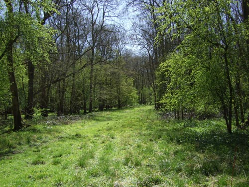
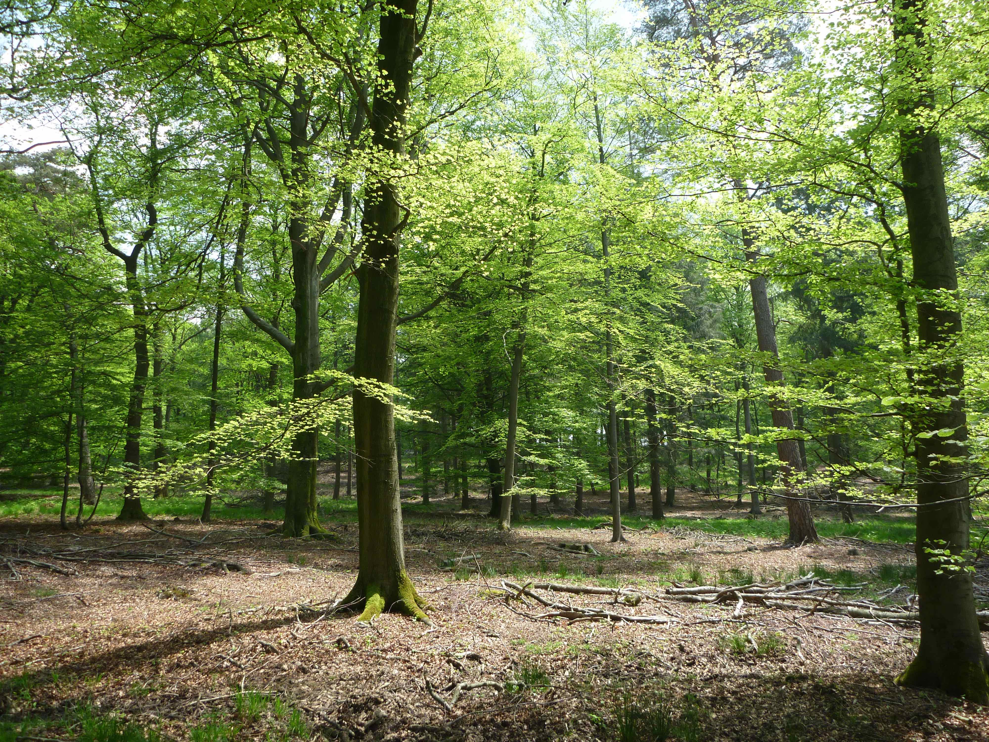
Wytham is 5 km north west of Oxford and consists of mixed woodland, mainly deciduous, and organic mixed farmland. Roughly a third of the wooded area is ancient woodland which, to our knowledge, has never been cleared and there has been continuity of tree cover since the prehistoric 'wild wood'. It has however had a long history of management, which for many hundreds of years took the form of coppicing. Within the woodland there are patches of semi-natural grassland, of both ancient and recent origin, and scrub.