floristic diversity
Type of resources
Available actions
Topics
Keywords
Contact for the resource
Provided by
Years
Formats
Representation types
-
In 1998 a permanent plot (50 x 50 m) was established at the height of 505 m asl in 45 year old spruce stand, where in the 45-year-old spruce stand bulk deposition, throughfall and soil solution are collected. The investigations of health status of trees and floral characteristic have been carried out since 2001. The analyses are carried out in a certified laboratory of the Institute for Ecology of Industrial Areas, Katowice (Certificate No AB 325). The basic meteo data are taken from the monitoring station located about 1 kn from the plot.
-
In 1998 a permanent plot (50 x 50 m) was established at the height of 780 m asl in 100 year old spruce stand, where bulk deposition, throughfall and soil solution are collected. The investigations of health status of trees and floral characteristic have been carried out since 2001. The analyses are carried out in a certified laboratory of the Institute for Ecology of Industrial Areas, Katowice (Certificate No AB 325). The basic meteo data are taken from the monitoring station located about 1 kn from the plot.
-
In 1998 a permanent plot (50 x 50 m) was established at the height of 718 m asl in 70 year old spruce stand, where bulk deposition, throughfall and soil solution are collected. The investigations of health status of trees and floral characteristic have been carried out since 2001. The analyses are carried out in a certified laboratory of the Institute for Ecology of Industrial Areas, Katowice (Certificate No AB 325). The basic meteo data are taken from the monitoring station located about 1 km from the plot.
-
In 1998 a permanent plot (50 x 50 m) was established at the height of 238 m asl in 70 year old spruce stand, where bulk deposition, throughfall and soil solution are collected. The investigations of health status of trees and floral characteristic have been carried out since 2001. The analyses are carried out in a certified laboratory of the Institute for Ecology of Industrial Areas, Katowice (Certificate No AB 325). The basic meteo data are taken from the monitoring station located 1 km from the plot).
-
In 1998 a permanent plot (50 x 50 m) was established at the height of 685 m asl in 60 year old spruce stand, where bulk deposition, throughfall and soil solution are collected. The investigations of health status of trees and floral characteristic have been carried out since 2001. The analyses are carried out in a certified laboratory of the Institute for Ecology of Industrial Areas, Katowice (Certificate No AB 325). The basic meteo data are taken from the monitoring station located 1 km from the plot.
-
The monitoring site was established in 1993 and consists of a monitoring station, where the measuring equipment is located, i.e., Wind Speed Meter (Young) pyranometer (LiCo) hygrometers, etc., permanent plots in the 105-year-old spruce stands where bulk deposition, throughfall and soil solution are collected on the monthly basis. The investigations of health status of trees and floral characteristic have been carried out since 1994. The analyses are carried out in a certified laboratory of the Institute for Ecology of Industrial Areas, Katowice (Certificate No AB 325).
-
floral characteristics, dry and wet deposition, health status of trees, soil characteristics, coniferous,
-
In 1998 a permanent plot (50 x 50 m) was established at the height of 790 m asl in 120 year old spruce stand, where bulk deposition, throughfall and soil solution are collected. The investigations of health status of trees and floral characteristic have been carried out since 2001. The analyses are carried out in a certified laboratory of the Institute for Ecology of Industrial Areas, Katowice (Certificate No AB 325). The basic meteo data are taken from the monitoring station located about 1 kn from the plot.
-
floral characteristics, dry and wet deposition, health status of trees, soil characteristics, coniferous,
-

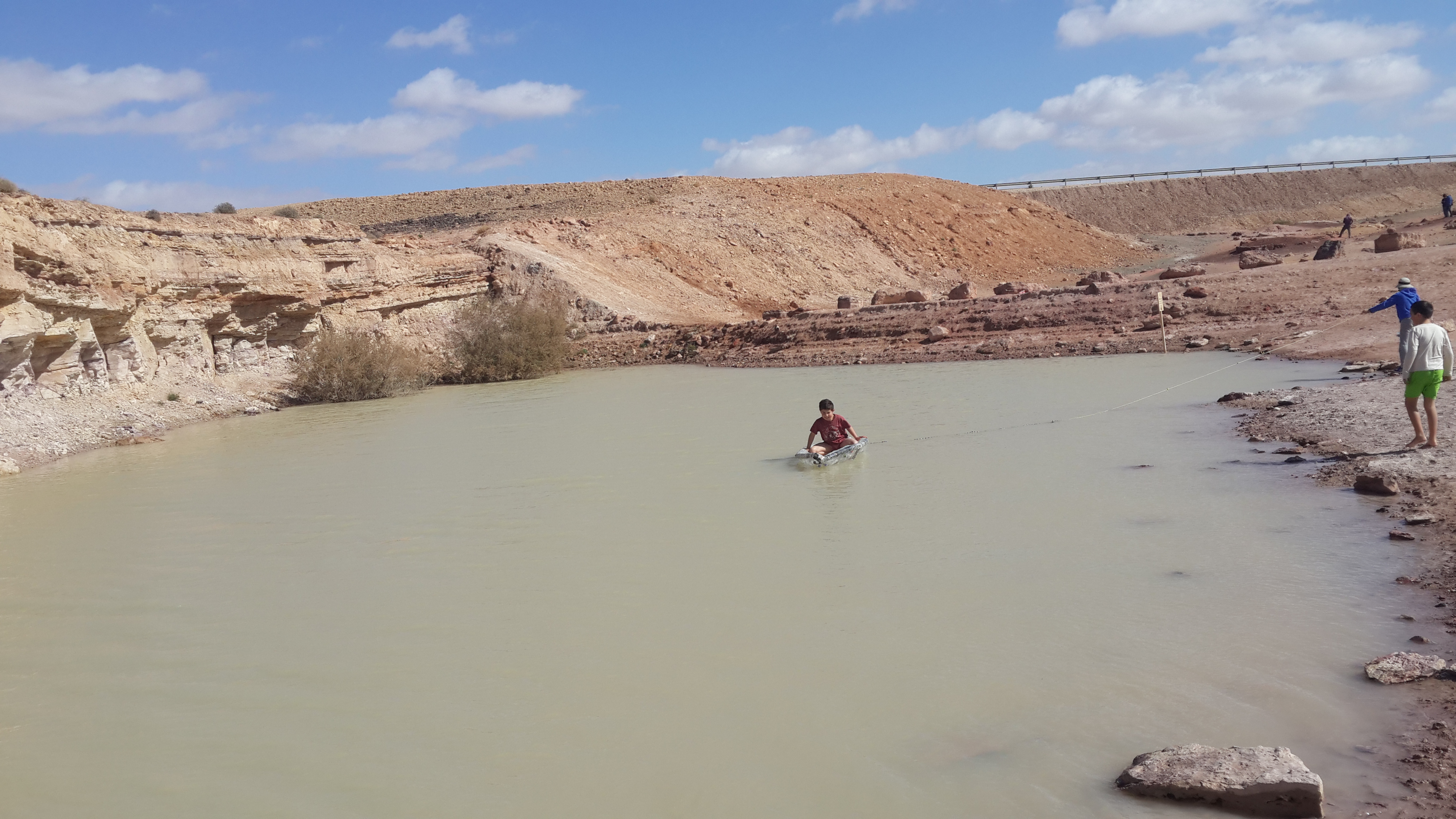
The site is located between two bio -geographical zones arid and hyper-arid, the research is carried out by both sides. The arid side is characterized by remains of terraces from the Nabatean agriculture runoff. The main research topics that being studied in the site are: biodiversity, climate change, runoff hydrology. The arid zone is a geo hydrological ecological system which is depended on a combination of rainfall and runoff that creates water enriched parches that support relatively high biodiversity. The hyper arid zone is runoff depended system the source of runoff are stipe, slope consist on bare bedrock, biological activities are constructed in the dry riverbeds that functions as sinks for the runoff generated from the slopes.
