
food chain length
Type of resources
Available actions
Topics
Keywords
Contact for the resource
Provided by
Years
Formats
Representation types
-
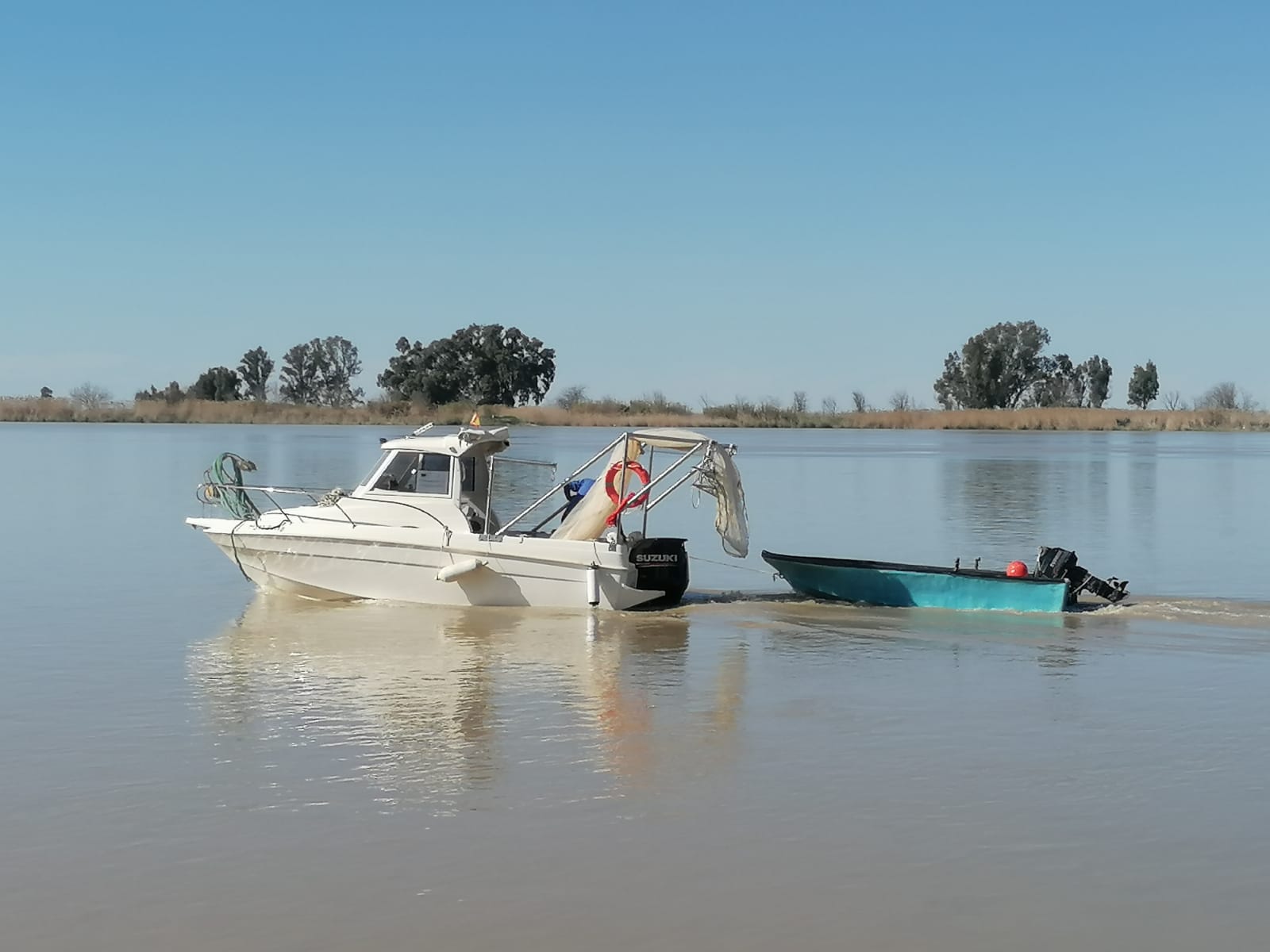
A Long Term Ecological Research Program -GUADALQUIVIR_LTER 1997-2022- has been maintained since 1997 at the Guadalquivir estuary. The temporal and spatial evolution of abundances and biomasses of the aquatic community species -plankton, fish, and crustacean- is monitored monthly since 26 years ago (1997 to present). Community data is resolved at different levels of the ecosystem -individuals, populations, and communities- and completed with their corresponding water environmental data -salinity, temperature, turbidity, dissolved oxygen, nutrients, pH, among others- as well as detailed information on trophic structure and biology of the main species. Since 2021 a new Spanish Science Agency project is working together with Guadalquivir-LTER on the socio-ecology of the region, management, and cooperation among different stakeholders.
-

The BLE LTER program (https://ble.lternet.edu/) focuses on productivity, trophic relationships, and biogeochemical cycling in the network of lagoons that span Alaska’s northernmost coastline. BLE is examining factors that affect the stability and resilience of microbial and metazoan food webs, including drivers and forms of primary production, in these highly dynamic ecosystems.
-
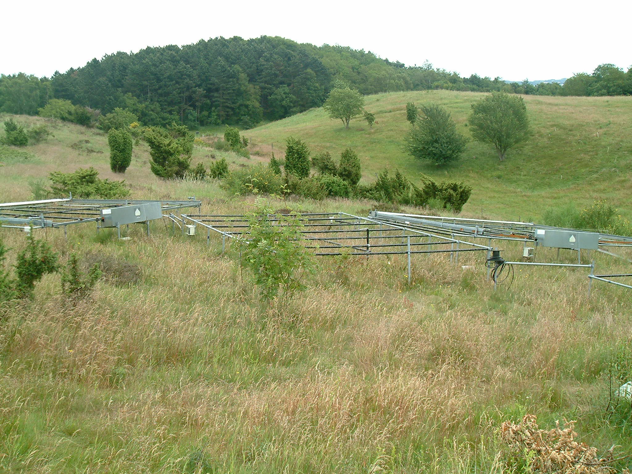
Mols Bjerge National Park or Nationalpark Mols Bjerge is a Danish national park in the area known as Mols Bjerge (lit.: Mols Hills) in Syddjurs Municipality, Central Jutland, inaugurated on the 29th of August 2009. The protected area, measures 180 square kilometres (69 sq mi) in size. The Mols Hills, reaching a height of 137 metres (449 ft), are centrally located in the park, and take up 2,500 ha. "More than half of all wild Danish plant species" can be found at Mols Bjerge. The park comprise most of the southern parts of the headland of Djursland. It is bounded on the east by the sea of Kattegat, the forests of Kaløskovene in the west and to the south by multiple inlets, coves and plains of glacially generated moraine. The town of Ebeltoft, along with villages and summer house residence areas, are considered part of the park. Land in the national park is held under both private and state ownership. Nearly 33% of the park is cultivated and 80% of the hill area is under private ownership. Mols Bjerge National Park has a rolling and widely varying topography of woodlands and open countryside, created with the end of the last ice age. Elevation in the park area varies in height rising to a maximum of 137 metres (449 ft) in Mols Hills, with many types of habitats such as heath, forests, pastures, bogs, meadows, a variety of coastal habitats and sea