
ground temperature
Type of resources
Available actions
Topics
Keywords
Contact for the resource
Provided by
Years
Formats
Representation types
-
Daily meteorological data (2m height) between 2004 to 2015 with air temperaturein 2m height (mean, minimum, maximum), precipitation and minimum ground temperature (5cm height)
-
Daily standard meteorological data from Fülöpháza which are representative for the whole KISKUN LTER. The station is operated jointly by Centre for Ecological Research, Hungarian Academy of Sciences and Hungarian Meteorological Service. The measured data: air, ground, soil temperature, precipitation, air humidity, wind speed, soil moisture, atmospheric pressure and global radiation.
-
Monthly standard meteorological data from Fülöpháza which are representative for the whole KISKUN LTER. The station is operated jointly by Centre for Ecological Research, Hungarian Academy of Sciences and Hungarian Meteorological Service. The measured data: air, ground, soil temperature, precipitation, air humidity, wind speed, soil moisture, atmospheric pressure and global radiation.
-
Meteorology data for Park Shaked - Israel Park Shaked LTER station (31.267 N, 34.653 E) Average Air Temp Maximum Air Temp Minimum Air Temp Maximun Relative Humidity Minimum Relative Humidity Maximum Temparture Deficit Minimum Temparture Deficit Average Vapor Pressure Deficit Average Vapor Pressure Maximum Barometric Pressure Minimum Barometric Pressure Maximum Solar Insolation Total Solar Radiation Average Wind Speed Maximum Wind Speed Ground Temp. 25cm depth Ground Temp. 50cm depth Ground Moisture 25cm depth Ground Moisture 50cm depth Total Rain Min DataLogger Battery Level Min Cellphone Battery Level
-
Monthly standard meteorological data from Fülöpháza which are representative for the whole KISKUN LTER. The station is operated jointly by Centre for Ecological Research, Hungarian Academy of Sciences and Hungarian Meteorological Service. The measured data: air, ground, soil temperature, precipitation, air humidity, wind speed, soil moisture, atmospheric pressure and global radiation.
-
Daily standard meteorological data from Fülöpháza which are representative for the whole KISKUN LTER. The station is operated jointly by Centre for Ecological Research, Hungarian Academy of Sciences and Hungarian Meteorological Service. The measured data: air, ground, soil temperature, precipitation, air humidity, wind speed, soil moisture, atmospheric pressure and global radiation.
-
High resolution hydrology recording mainly by PLSC_Sensors (measuring water level, temperature-depending on water level it is the ground air temperature or water temperature- and conductivity) but also by Hydrolab-Multiparameter Sensors (measuring temperature, oxygen, pH, conductivity, turbidity) for monitoring the soda pans in the vicinity of soda Lake Neusiedl. The on-line measurement of these wetland sensors in the “Seewinkel”-district are measuring at high time resolution of every three minutes. The locations of these sensors are in the soda pans, which mostly dry out at least once a year, and are as follows (in alphabetical order): Hydrolab-Waterquality_Multiparameter-Sensor - Fuchslochlacke: N47°47.376’ & E016°51.149’ PLSC-Sensor - Fuchslochlacke: N47°47.376’ & E016°51.149’ PLSC-Sensor - Graurinderkoppel: N47°43.400’ & E016°48.148’ PLSC-Sensor - Meierhof-Lacke (Apetloner Hof): N47°43.296’ & E016°49.359’ PLSC-Sensor - Unterer Stinker: N47°48.161’ & E016°47.098’
-
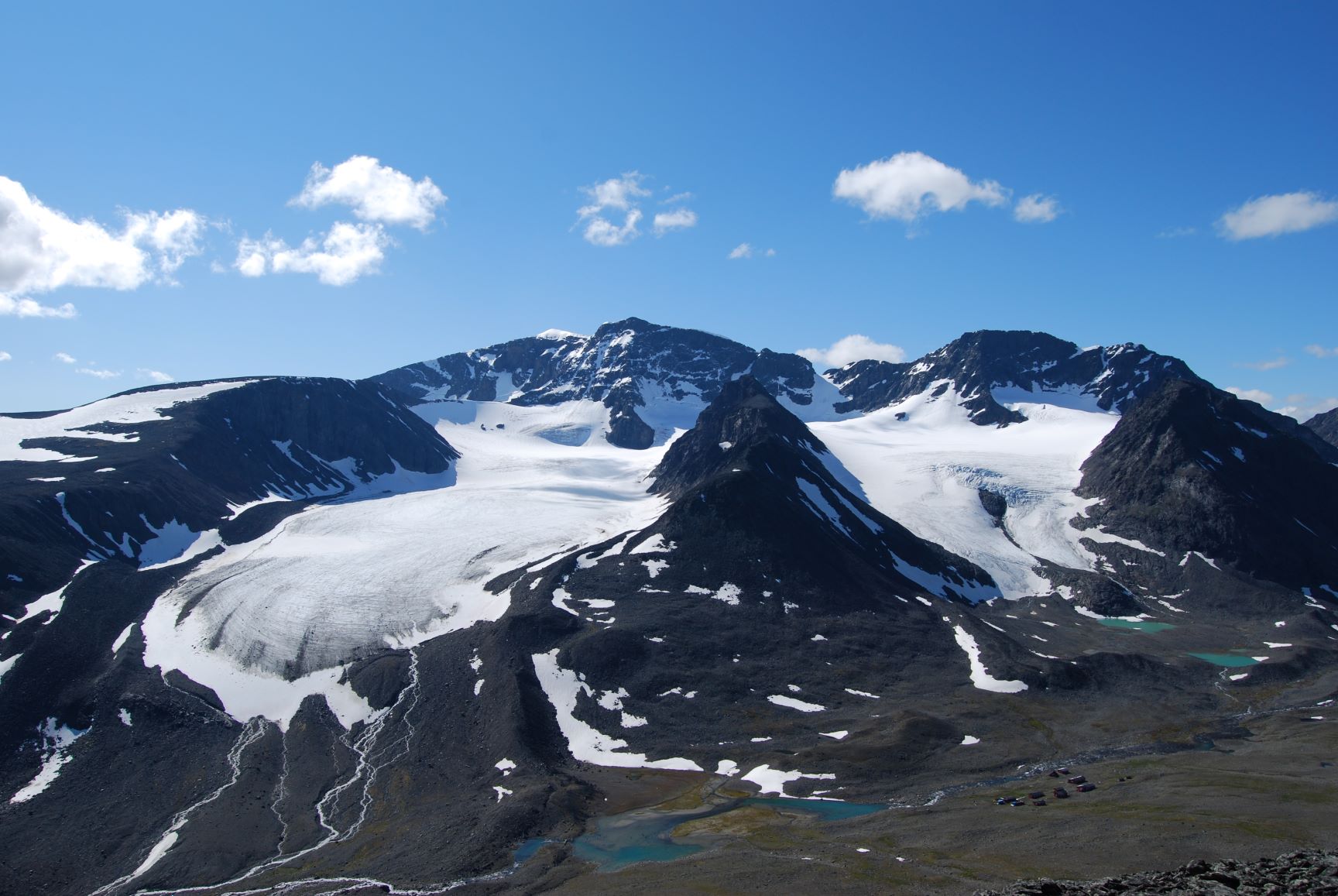
Tarfala Research Station is located at 1130 m a.s.l. in the high alpine Kebnekaise mountains, northern Sweden. The Tarfala valley catchment reaches from 2100 to 500 m a.s.l. Vegetation spans high alpine flora, mountain heath and meadows and the upper mountain birch forest zone. The lake, rivers and glacier meltwater streams is part of the headwaters for the unregulated Kalix River. The station was established in 1946 with the main aim to study glacier massbalance. The best known glacier is Storglaciären which is one of the most well studied glaciers in the world. The glaciers and terrestrial and aquatic ecosystems formed by the harsch climate in this area is now changing rapidly. Over the years the environmental monitoring program has expanded and includes today mountain meteorology, water discharge and chemistry, permafrost and vegetation. The station belongs to Stockholm University and is part of the Swedish Infrastructure for Ecosystem Science (SITES).
-
This site experienced peat extraction. It contains Sphagnum plots and Vaccinium oxycoccos, but the peatland is dominated by graminoids forming tussocks.
-
Studies on ecological successions have a long tradition and strongly contributed to the understanding of community assembly, niche theory and ecosystem structure and functionality. Reports on ecological successions are however mostly restricted to one or two taxonomical groups, neglecting the mutual influences and dependencies between multiple taxonomic groups that are the building blocks of multidiverse communities. We introduce the Alpine research platform Ödenwinkel to promote observational and experimental research on the emergence of multidiversity and ecosystem complexity. We established n = 140 permanent plots along the successional gradient of the forefield of the Ödenwinkelkees glacier at the end of Stubachvalley in the Hohe Tauern range (National Park Hohe Tauern, Land Salzburg, Austria). In summer 2019 we completed a first full inventory of biotic and abiotic characteristics of these plots covering the diversity and composition of vascular plants, bryophytes, arthropods and other animals, bacteria and fungi as well as some geomorphologic properties. In this paper we introduce the design of the research platform and show first results on the diversity and composition of vascular plants along the successional gradient. The Ödenwinkel platform will be available as long-term ecological research site where researchers from various disciplines can contribute to accumulate knowledge on ecological successions and on how interactions between various taxonomical groups structure ecological complexity in this alpine environment.