
inorganic carbon content
Type of resources
Available actions
Topics
Keywords
Contact for the resource
Provided by
Years
Formats
Representation types
-
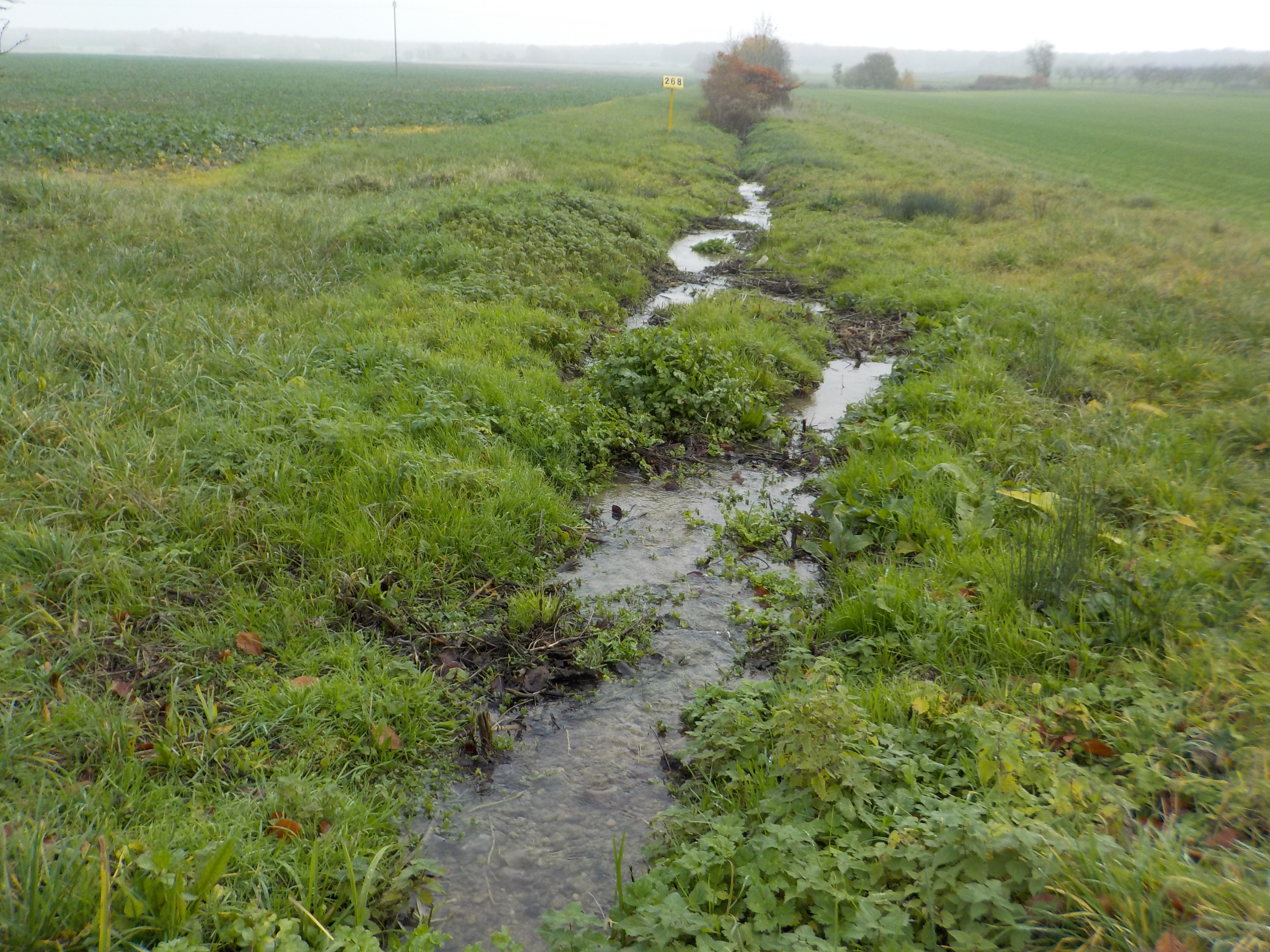
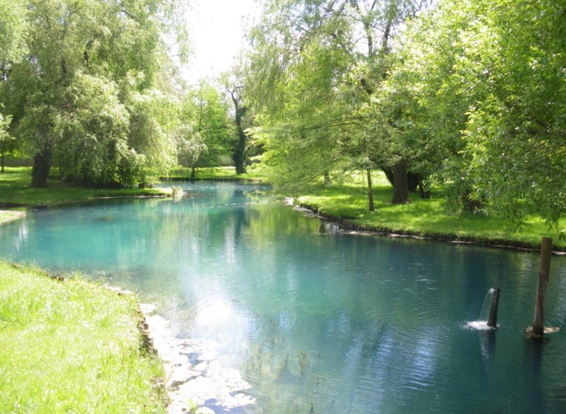
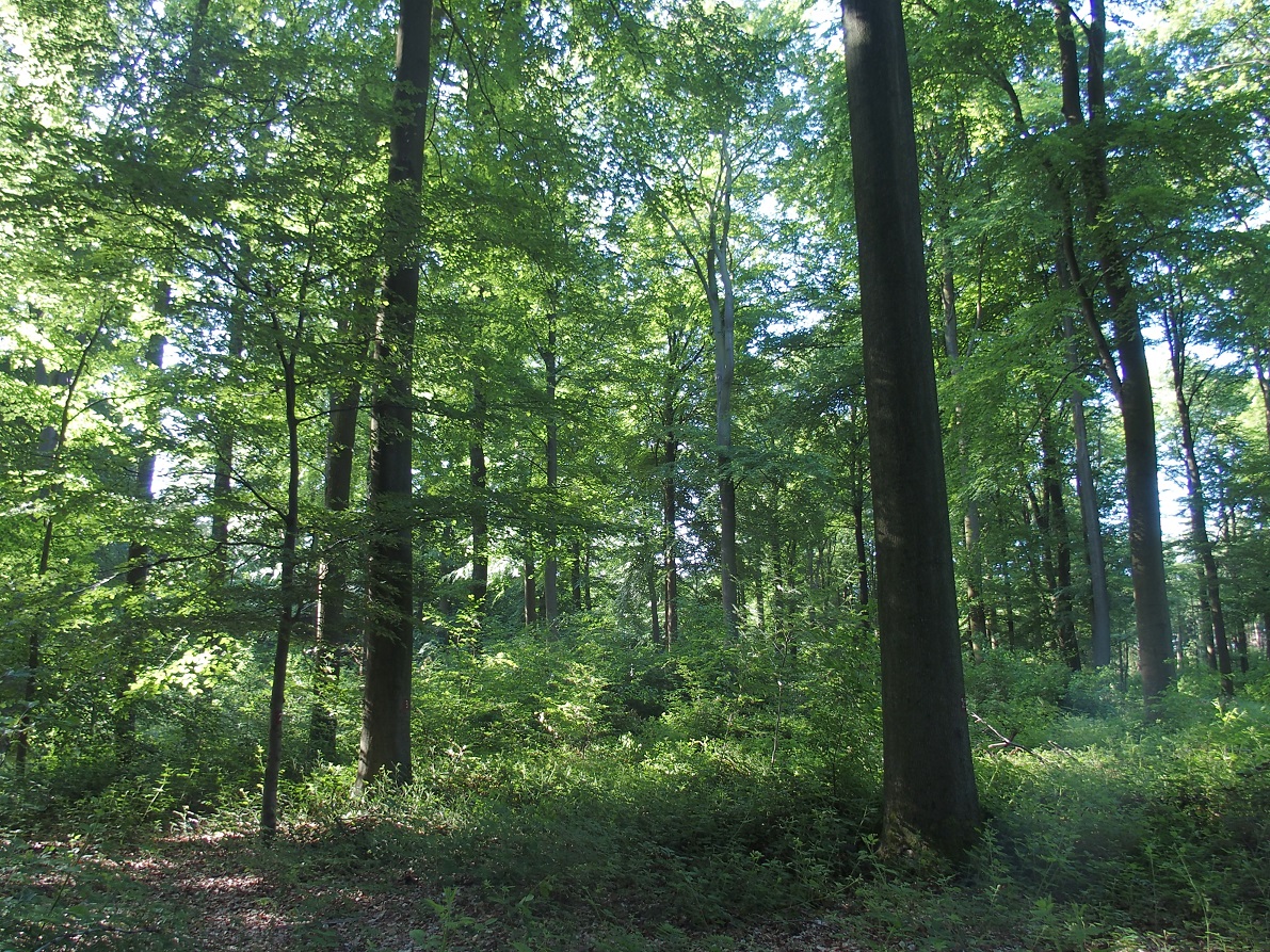
The state forest of La Reine is a humid forest of about 5000 ha located in the south of the plain of Woëvre and at the foot of the Meuse hills in France. Numerous ponds and puddles are scattered throughout the forest and it is crossed by many small, more or less natural streams. Upstream of the forest, these waterways are impacted by human activities (large-scale farming, housing without collective sanitation in particular). Since 2019, the Moselle Basin Workshop Zone has been working on the implementation of a workshop site to understand the bio-hydrogeological functioning of three of these streams, particularly in terms of natural purification. Sampling campaigns are regularly organized in the streams and in ponds.
-
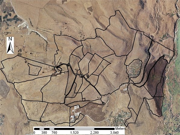
Grazing research site
-
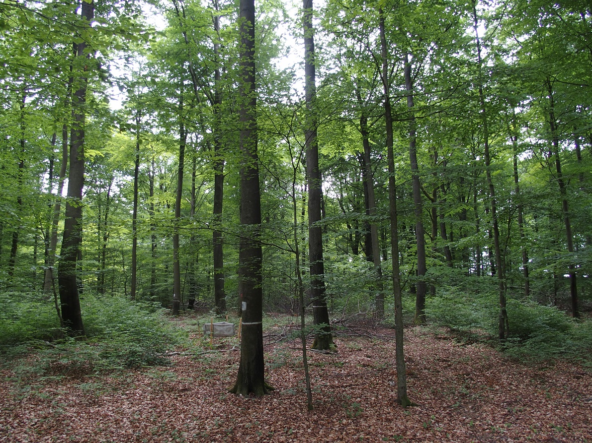
ICP forest monitoring plots: 0.5 ha of fenced stand + 20 m buffer area. Managment, data collection and reserch activities carried on by catholic university of Louvain (UCL)
-

Hydrometeorological and biogeochemical observations within 5 embedded catchments (from 0.2 to 14.5 km2). Alpine Mediterranean climate with heavy rainfall and flash floods in automn. The geology is mainly granite. The land use is mainly grassland and forest. More information at http://www.ohmcv.fr
-
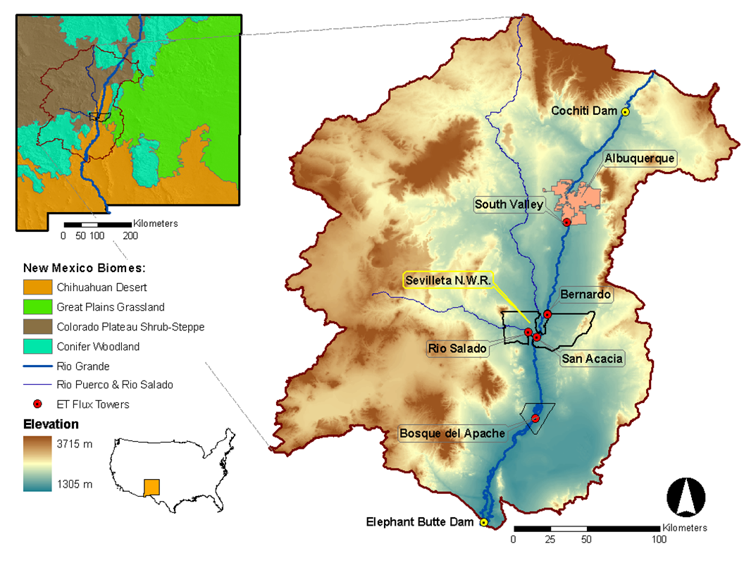
Desert grassland, shrubland, woodland, forest and riparian habitats in central New Mexico, USA
-
Aquitain's karsts observatory (Aquitaine, France) regroups different karst sites located on the edge of the Aquitain sedimentary basin. These karst watersheds range from 0.01 km² (Lascaux cave) and 1 km² (Cussac cave) up to 100 km² (Toulon springs) and the land use consists of forests and agriculture under modified oceanic climate. This observatory consists of various observation and experimentation sites like patrimonial caves and large karstic hydrosystem outlets.
-
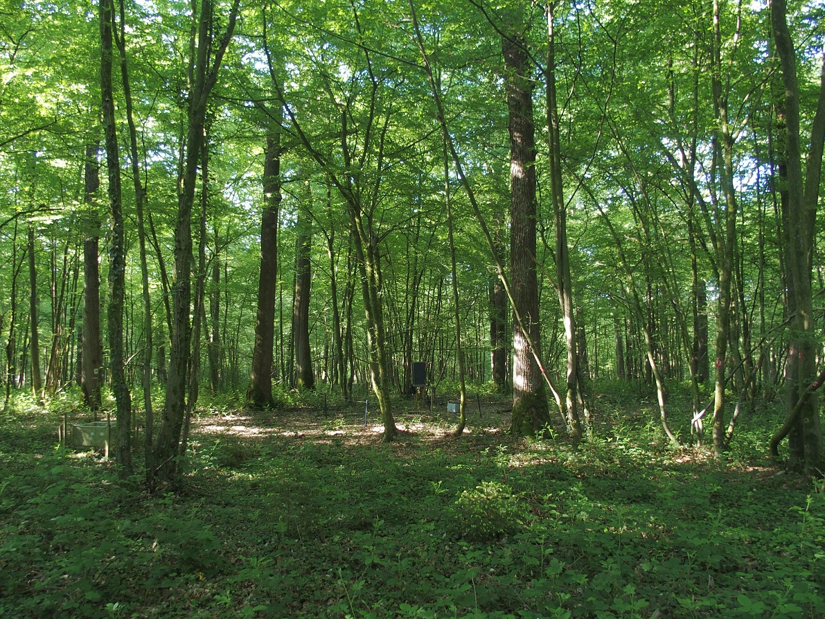
ICP forest monitoring plots: 0.5 ha of fenced stand + 20 m buffer area. Managment, data collection and reserch activities carried on by catholic university of Louvain (UCL)
-
Plynlimon is at the headwaters of the Rivers Severn and Wye. The infrastructure at Plynlimon consists of 10 instrumented research catchments representing different land use options on the same geological parent material. It is the UK’s Critical Zone Observatory, part of the EU and global network of CZOs and is an ExpeER site. The infrastructure records high temporal resolution river flow and meteorological data (40 year data record) and stream water and precipitation chemistry for cations, anions, trace metals, nutrients, pH and alkalinity (30 year data record) and some data for suspended sediment. The site has an extensive spatial data library including topography, digital terrain model (DTM), soils, geology and vegetation/land-use available, open access, through the Environmental Information Data Centre (https://catalogue.ceh.ac.uk/documents/91961a0f-3158-4d00-984d-91eb1e03e8bd). Sub sites in the catchments represent a range of upland management types: mature/clear cut/replanted conifer forest; acid grassland; eroding peatland; improved grassland.Samples analysed for a wide range of major, minor and trace components. Bulk precipitation and cloudwater chemistry is also measured at one location.
-
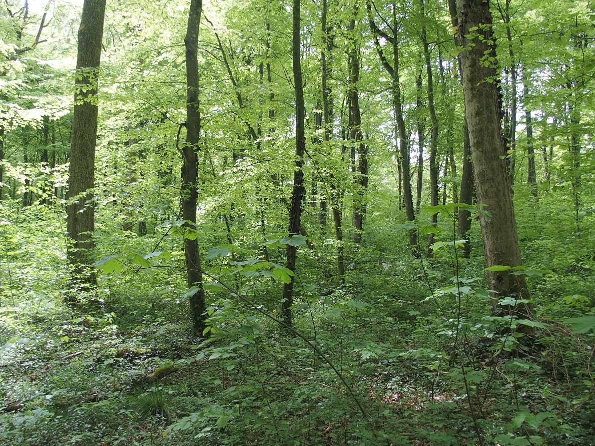
ICP forest monitoring plots: 0.5 ha of fenced stand + 20 m buffer area. Managment, data collection and reserch activities carried on by catholic university of Louvain (UCL)
-
ICP forest monitoring plots: 0.5 ha of fenced stand + 20 m buffer area. Managment, data collection and reserch activities carried on by catholic university of Louvain (UCL)