
lake level
Type of resources
Available actions
Topics
Keywords
Contact for the resource
Provided by
Years
Formats
Representation types
-
We provide long-term data for the water level of Srebarna Lake (2010-2020).
-
None
-
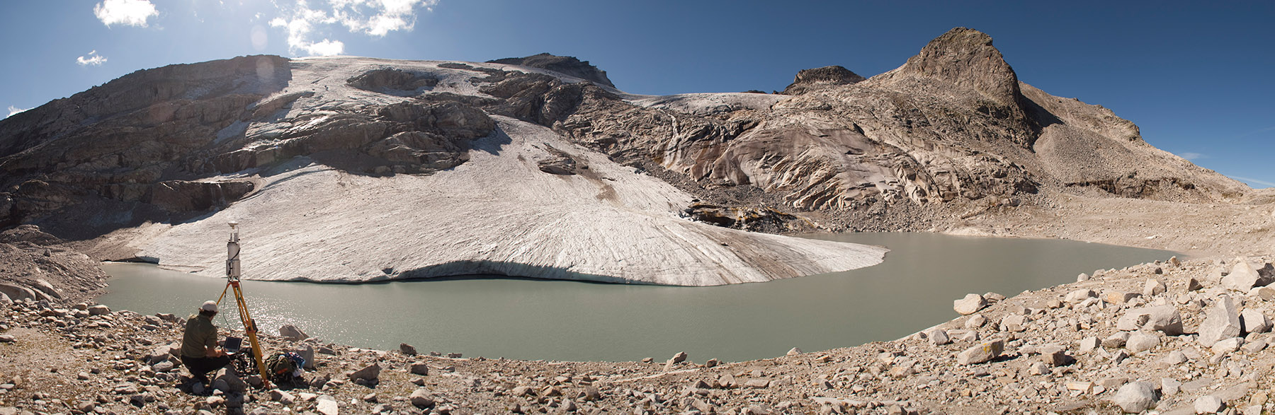
The formation of a periglacial lake was forced at the glacier terminus in recent years by the fast disintegration of the glacier. The development of the untere Eisboden See is well documented. Since August 2002, a runoff gauge installed by the Hydrographical Service of Salzburg has recorded the discharge at the outlet of the new Unterer Eisboden See.
-
Monthly water depth (cm) obtained from surveys for the period 1995-2009
-
These data are seven freshwater parameters of Srebarna Lake. They are: water depth (m) of the lake, pH, conductivity, transperance Secchi (m), the amount of NO2, the amount of PO4 (mg/l) and the amount of Chlorophil a (mg/l). They were taken in May, August and November 2012 and these are data for spring, summer and winter season.
-
Øvre Heimdalen is located by Valdresflya in the eastern part of Jotunheimen on the border between the municipalities of Øystre Slidre and Vågå. The valley floor, which is oriented east-west, is at an altitude of 1,100 metres. The surrounding mountains reach over 1,800 m above sea level. Birch forest grows on the south-facing valley side, but the rest of the area is above the tree line. Research activity in Øvre Heimdalen began in 1957 with documentation of the trout population in Øvre Heimdalsvatn, and how the biomass, growth rate and age composition of the population were affected by environmental conditions.
-
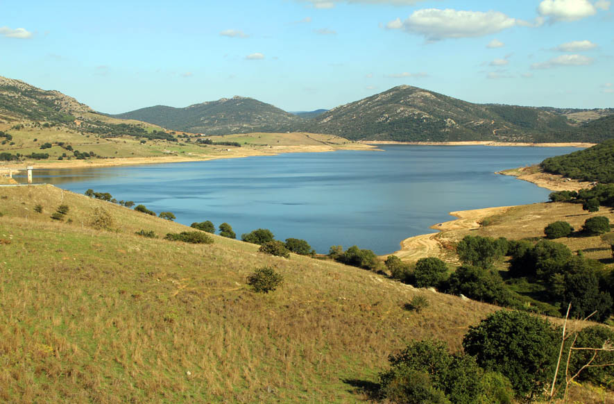
Lake Temo (IT10-006-A) is located in north-west Sardinia. The construction of the dam began in 1971 and ended in 1984. The reservoir lies at 226 m a.s.l. and has an area of 4.81 km2, a mean depth of 15.8 m and a maximum capacity of 91 x 106 m3. Its catchment extends for 142 km2.
-
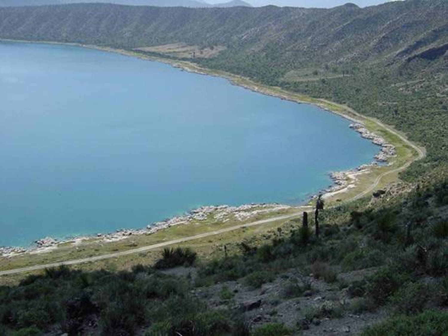
Lago Alchichica se localiza a una elevación de 2300 msnm con una profundidad 62 m y es de agua salobre.Habitan organismos endémicos y se encuentran rocas calizas de particular interés por los microorganismos que viven en ellas. Se encuentra en la Cuenca Oriental de Puebla.
-
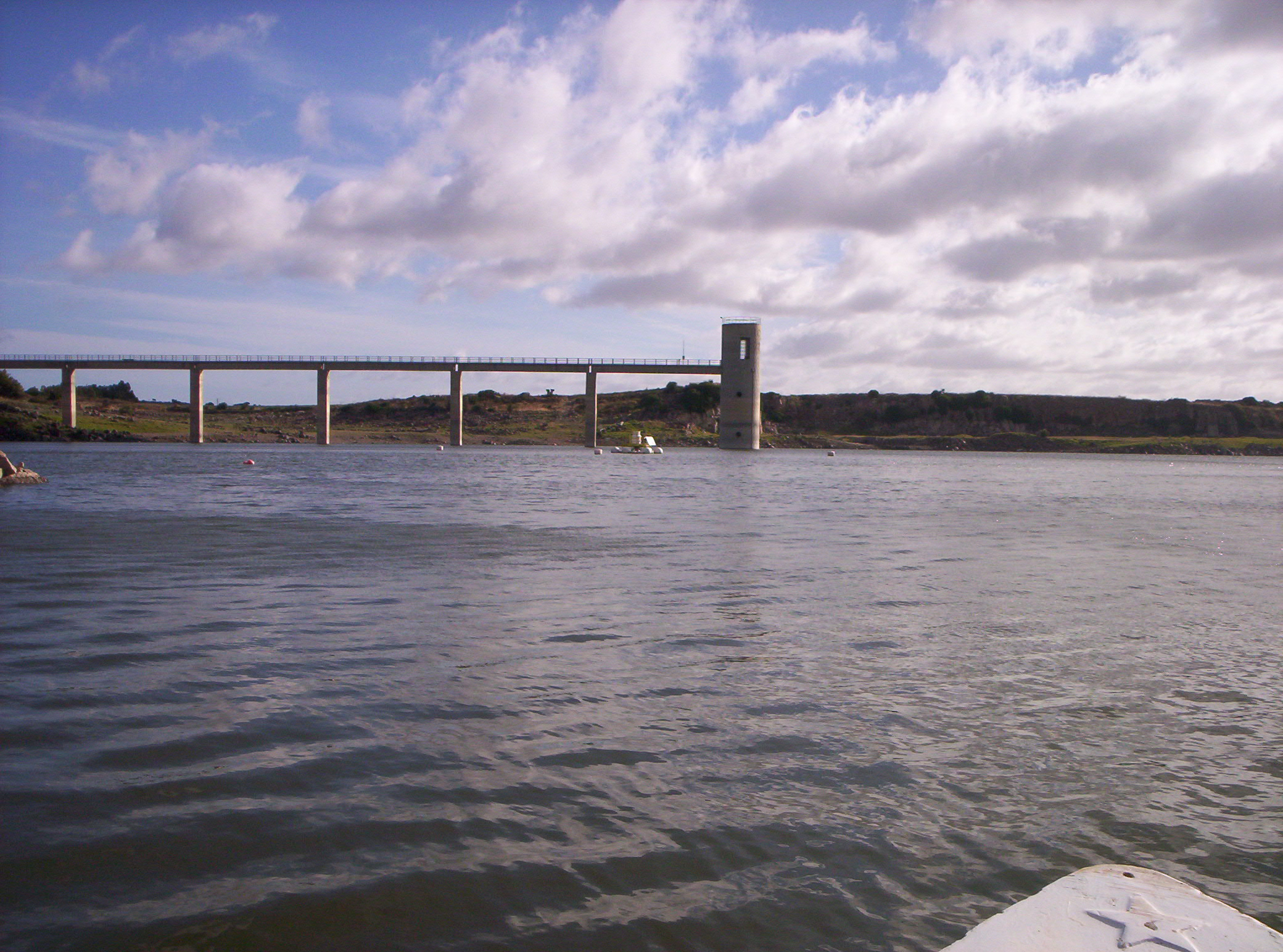
Lake Cuga (IT10-003-A) is located in the north-western part of Sardinia. The reservoir was built in 1965, but its first filling was in 1975. It lies at an altitude of 114 m a.s.l. and is extended for about 58 x 106 m2, with a maximum and average depth of 45 m and 11 m, respectively. It has a volume of 34 x 106 m3. The waters are used mainly for irrigation and drinking supplies. Cuga Lake is classified as eutrophic since the early years of its filling.
-
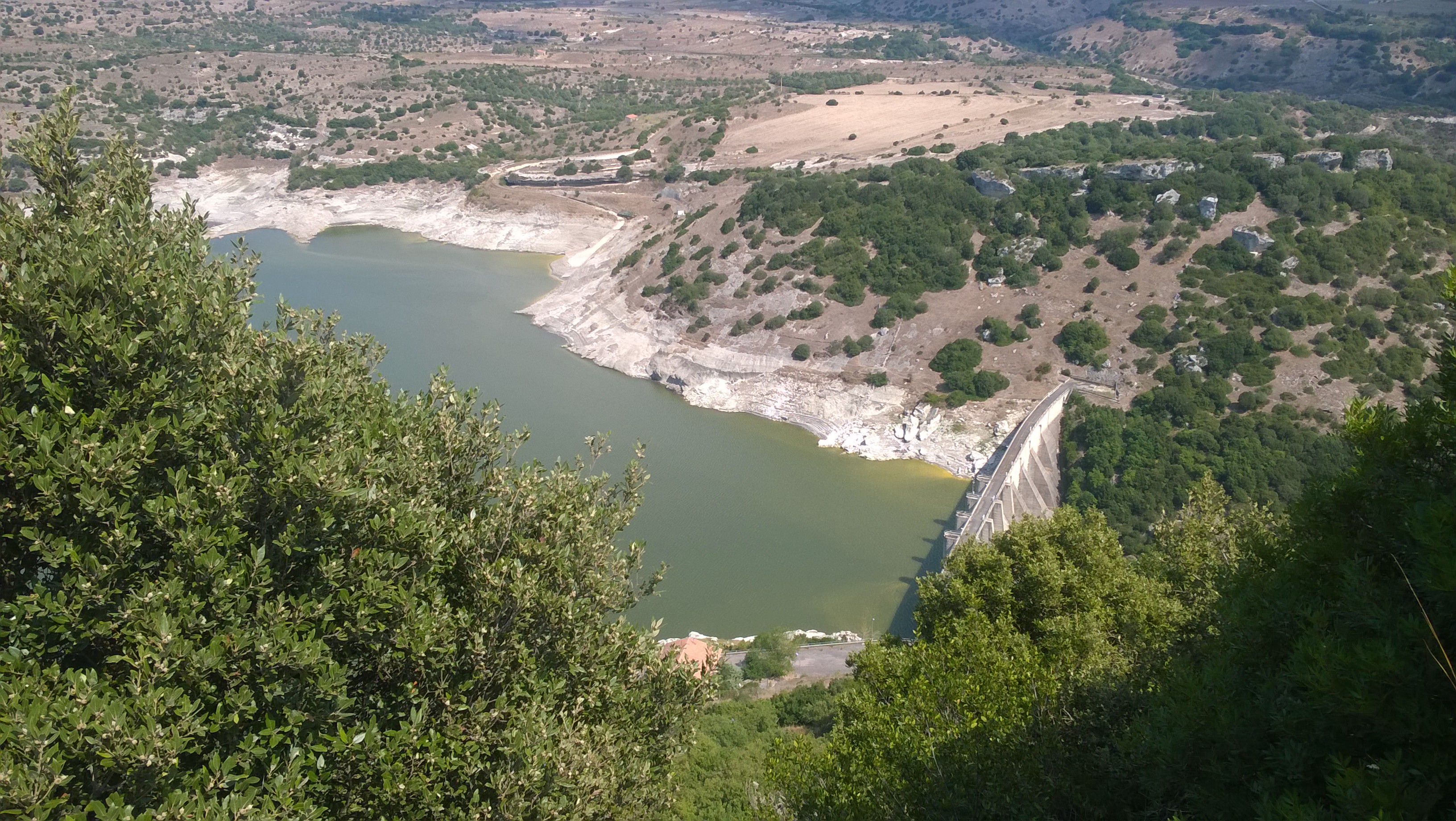
Lake Monte Lerno (IT10-004-A) is located in the North East part of Sardinia in the municipality of Pattada. Its construction was completed in 1980. The catchment area is extended for 160 km2. The reservoir lies at 563 m a.s.l. and has a maximum area of 4.4 km2, a mean depth of 14.9 m and a volume of 89.5 x 10⁶ m3 of water. Its waters are used for drinking and irrigation. Lake Monte Lerno is classified as eutrophic.