
land use intensity
Type of resources
Available actions
Topics
Keywords
Contact for the resource
Provided by
Years
Formats
Representation types
-
GIS thematic data on human activity and infrastructure in the Park, covering a.o. (1) tourism infrastructure and activity (trails, shelters, campsites, caves accessible to tourists, museums, sports and leisure infrastructure, educational facilities, etc. - as well as tourist traffic counts); (2) roads and other transport facilities (incl. cable car); (3) buildings (dense housing and individual objects), (4) geodetic/cadastral layers, land parcels, (5) cultural heritage (historic monuments incl. religious objects, remnants of past mining activity, historic sheep/cattle grazing infrastructure such as shepherd huts, etc.); (6) other infrastructure (e.g. power lines, water takeup points, meteo stations, etc.). Also, data on anthropogenic pressure: environmental impact and damage of human activity available.
-
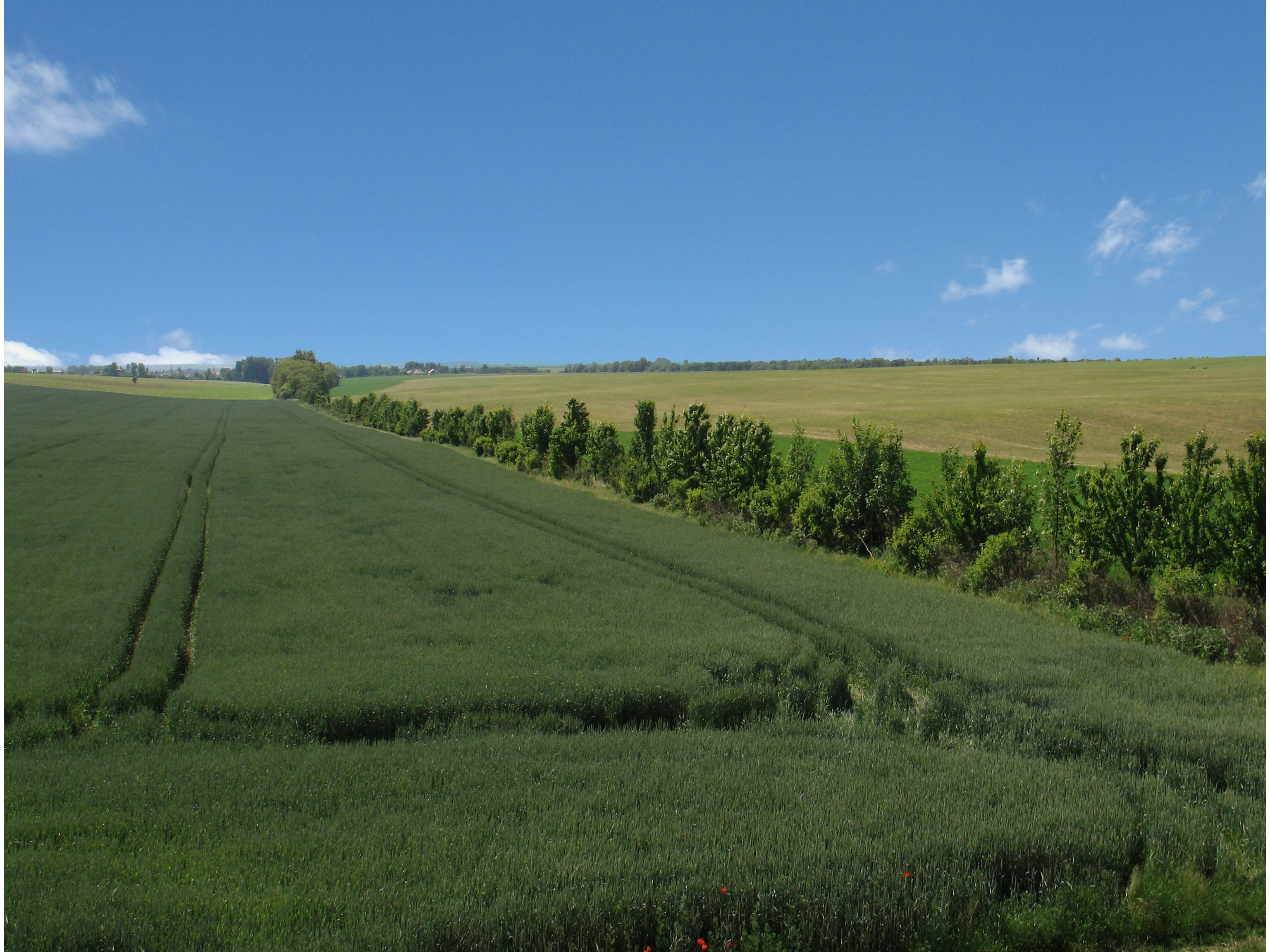
LTSER Trnava is located in the south-west Slovakia, in territory of one city (Trnava) and 44 rural municipalities with total area of 741.33 km2. Arable land dominate (65.13 %), followed by forests (17,78%), built-up area 7.84%, grassland (2.15%), gardens (1.83%), water bodies (1,38%), vineyards (0,81%), orchards (0.2%), and other plots (2.9%). The main part of the LTSER (central and southern parts) is located in the Danubian Lowland. Because of the best, most fertile soils and favourable climatic condition, it is intensively used for agriculture, especially as arable land. In this part of LTSER is located the largest settlement – Trnava. It represents the administrative centre of the county and region with highest population, trade and industry. Hilly northwest part of the LTSER, located in the Little Carpathians Mts. belongs to the Malé Karpaty Protected Landscape Area. This is the only large protected area having vineyard character in Slovakia; vineyards forms transition belt between lowland arable land and forested hills/mountains. Several types of deciduous forests are developed – oak-hornbeam and beech forests are most common, in steeper sites are developed ravine forest dominated by ash and maple. The LTSER represents intensively used industrial and agricultural area with specific environmental problems (strong degree of contamination of environment, the degradation processes of agricultural land, etc.) and low degree of ecological stability. Use of the most productive soils for construction of industrial parks represents a significant environmental issue.
-
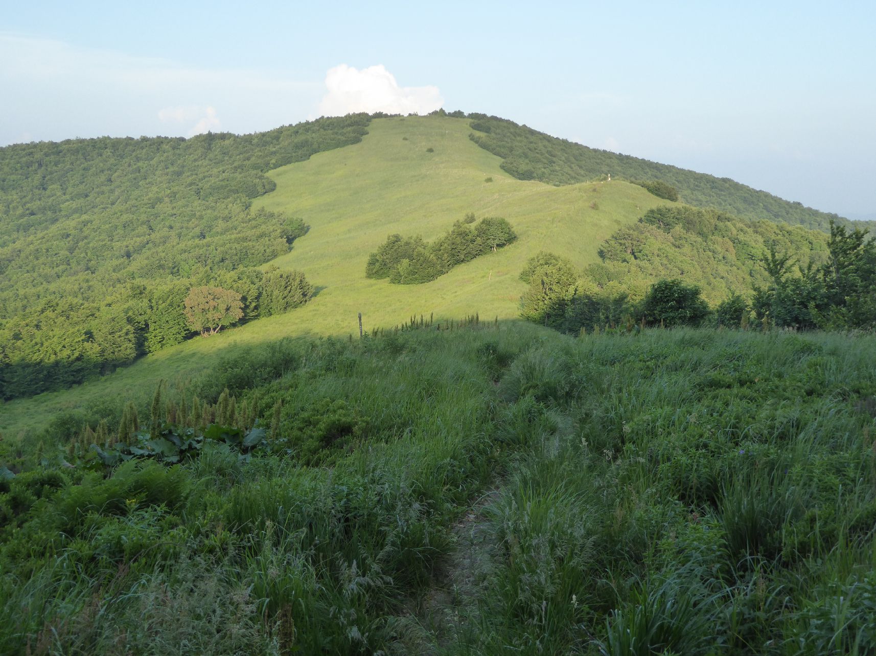
The area is located in north-east of Slovakia on the border with Poland and the Ukraine, in Bukovské vrchy mountains which are part of the Carpathian mountain range. It has a highland to upland character. The study area is in Snina district within the Prešov region and is part of the National Park of Poloniny and East Carpathians Biosphere Reserve. It belongs to ŕemore wilderness areas in Slovakia, remote from industrial centres and with restricted accessibility. In the year of 1980-1986, 7 villages were removed as a result of construction of the water reservoir Starina. There are currently 10 villages within the study area.
-
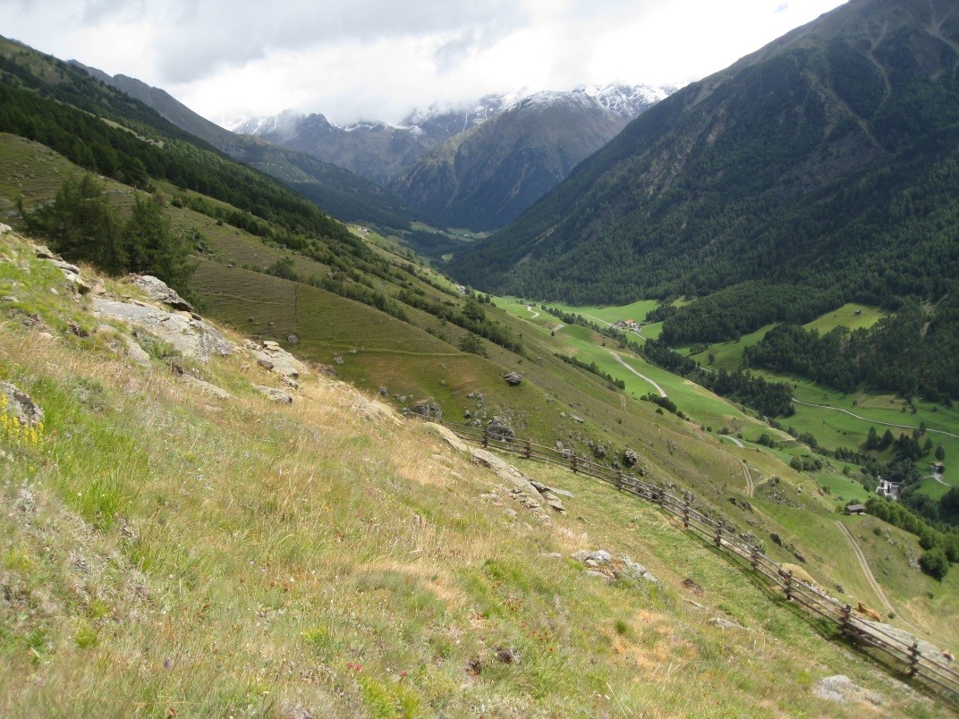
Saldur Catchment covers an area of app. 100 km2 and includes different elevations, topographic aspects and ecosystems (meadows, pastures, forests and glacier forefields).Measurements started in 2010. In total there are 17 weather stations distributed throughout various ecosystem types (cultivated meadows, pastureland, forest, glacier forefield), which enables analyses at a plot level up to a complete landscape level. Measurements are primarily used to validate hydrological models and to model various ecosystem services such as productivity, water availability and protection against natural hazards. This site is also equipped with five units to measure sap flow in the stem and an automatic dendrometer; the data are used to investigate the influence of climate factors on common coniferous trees in the area.
-
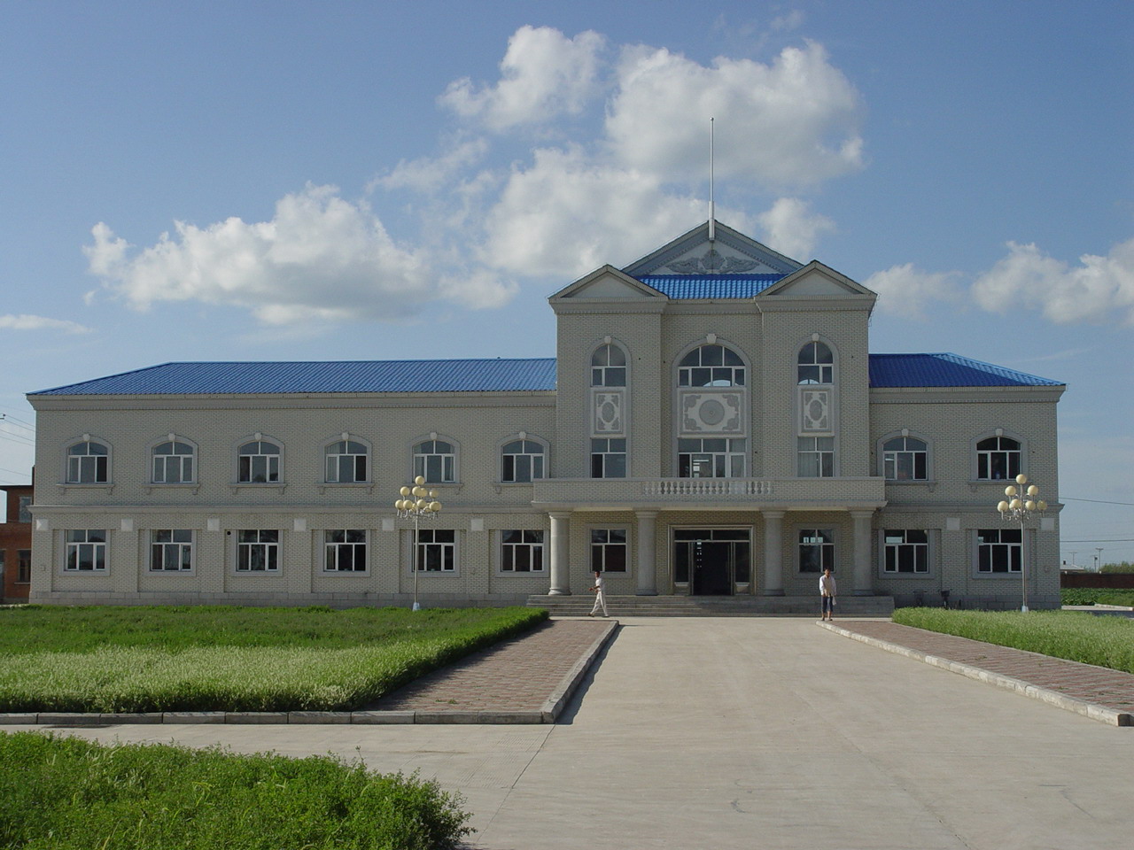
Hailun Agricultural Ecological Station located in Hailun city, Heilongjiang province, was established in 1978, briefly named Hailun Agro-ecosystem Station. The main research fields at that time were the optimal management of agriculture and advanced technology utilization in agricultural production. Chinese ecosystem research network(CERN) established in 1988 selected Hailun station as one of its components. The objective of Hailun station was to study the agro-ecosystem and sustainable development of agriculture in black soil zone in Northease China. Also, Hailun station was considered as one of components, when national field research net was built in 2005.
-
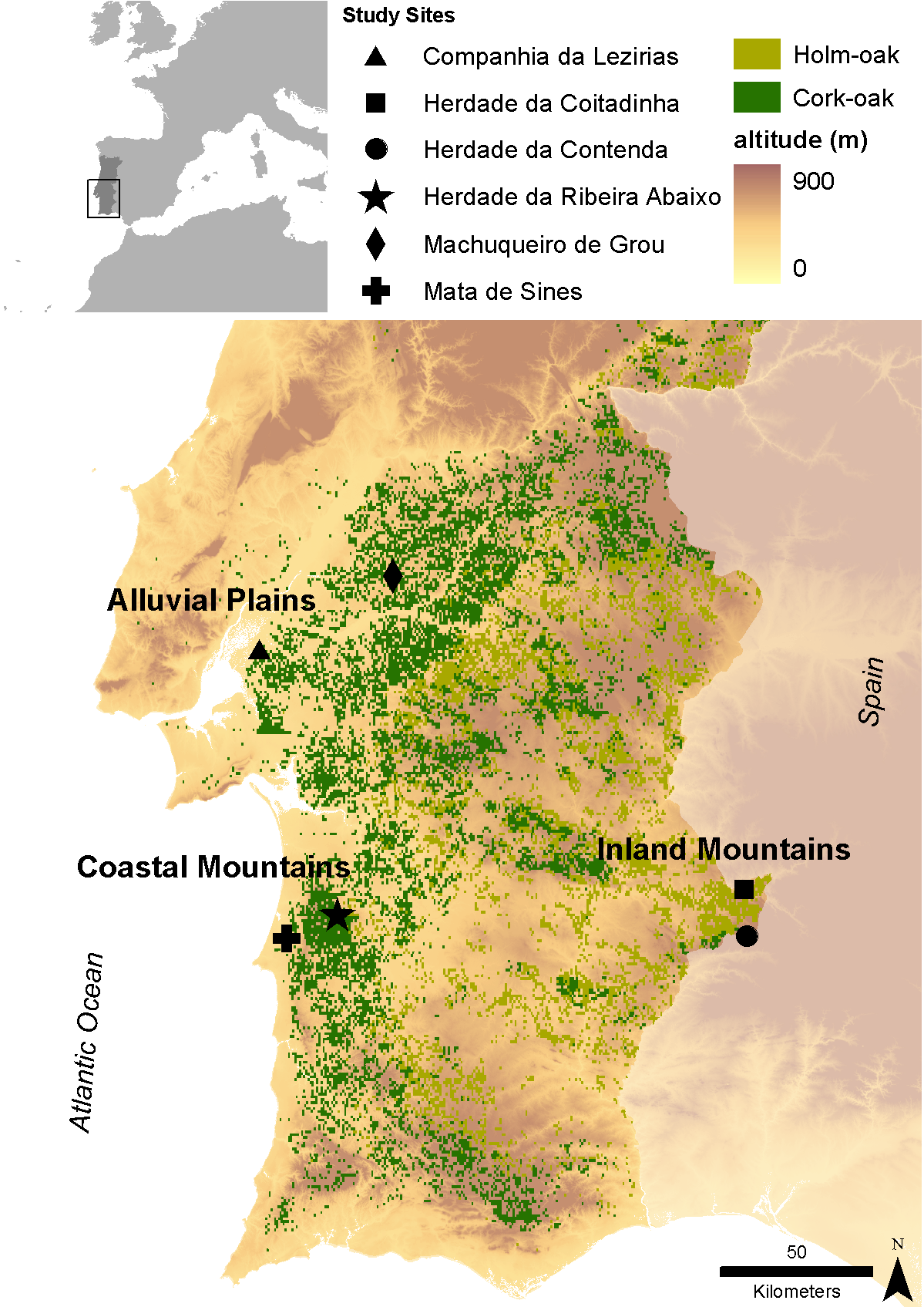
Cork (Quercus suber) and holm (Quercus ilex L.) oaks were probably the dominant oak species in the Iberian Peninsula south of the Cantabrian/ Pyrenean mountains since the end of the last glaciation. Despite a large range overlap between both species, cork-oak was confined to the mild western regions of the Peninsula (thereby encompassing most of the Portuguese territory), occurring only in small patches along the coast further east, while holm oak was and still is the dominant oak over most of the Centre and East of the Peninsula, subjected to a harsher continental climate. Millennia of land clearing driven by human population growth and need for agricultural land lead to the almost complete elimination of cork oaks from the Centre and North of Portugal (and Galicia), where the mountainous relief and relatively high precipitation allowed for the establishment of numerous small farms. However, in the dry lowlands south of river Tajus, the impossibility of land irrigation and the poor soil quality were two of the main drivers that contributed to the establishment of the montado agro-sylvo-pastoral system. Today, roughly 90% of Portuguese cork-oak montados are found in this region (Alentejo) and represent the largest cork-oak montado area in the world. Here, the species basically occurs on two soil types – the skeletal schist soils that result from the weathering of the Palaeozoic hercinic core of the Peninsula and the alluvial plains of the Tajus and Sado rivers, which well drained sandy soils, correspond to an ecological optimum for this species. When compared with holm oaks, cork-oaks are relatively fragile, being unable to withstand severe droughts and continental climates (inland) or calcareous soils (in the Algarve). Therefore, as one proceeds south of the Tajus, the flatlands become divided between the coastal cork-oak montados and the inland holm oak montados. In spite of their physiological differences, holm oak forests were also cleared with different extents in different areas and the same pattern emerged, with most of the Portuguese holm oak montados occurring nowadays in inland Alentejo. These montados are in fact the western limit of the Spanish dehesas; their aggregated area constitutes the largest extension of montado ecosystem in the world. Data series of Alentejo province concerning the main key drivers of change and available to the research team are: Climate (historical time series since 1930 and every thirty years onwards, plus climatic models); Satellite images (1984, 1990, 1994 and 2004 – several series along the year, 2008); Aerial Photographies (1960/70, 1974/80, 1995, 2005); Forestry inventories (60’s/70’s, 1995, 2005). In each of the three core research and monitoring stations encompassing the variety of edapho-climatic conditions to which most montados are subjected, and that are proposed in the current proposal (see research plan), two study case sites were selected to illustrate contrasting human pressures. More relevance was given to cork oak montados, due to the importance of cork industry for the national PIB, as well as to the global importance of the Portuguese territory for this ecosystem. Two main and one secondary contrasts related to human pressures will be monitored: i) vulnerability to dryness (also related to land use), monitored at Machuqueira do Grou and Companhia das Lezírias (less vulnerable) vs Ribeira Abaixo and Sines (more vulnerable); and ii) vulnerability to grazing intensification, monitored at Companhia das Lezírias (more vulnerable) vs Machuqueira do Grou and Ribeira Abaixo (less vulnerable). The same vulnerability to grazing intensification will be monitored at the two holm oak site, where the main contrast is the type of grazer: cattle (Coitadinha) vs game species (Contenda). Finally, the additional contrast refers to the proximity to pollution sources that can be explored by the comparison between Companhia das Lezírias and Sines (more exposed) vs. all other study sites (less exposed).
-
Covers an elevational gradient from 0 to 2,200 m in the Serra dos Órgãos mountain range, with high elevation grasslands (campos de altitude), cloud and lowland rainforests in the Atlantic Forest biome. In the lowlands it includes fragmented landscapes due to deforestation occurred in the last 500 years, with a variety of land uses in the matrix were fragments are inserted. Long term studies and monitoring actions focus on the effects two main factors: effects of climate change and land use. Presents high species richness, embracing a National Park (Parque Nacional da Serra dos Órgãos), a state park (Parque Estadual dos Três Picos), a private reserve (Reserva Ecológica Guapiaçu), and other federal and state protected areas.
-
The LTSER Zone Atelier Seine belongs to LTER-France network and is located in Seine River Basin. The ZA Seine general aim is the study of a whole region. How its inhabitants construct the aquatic environment, as well as the quality of surface- and ground-waters may be seen as the dominant scientific question. The question is posed at various scales in space (from sub-catchments to the whole basin), and in time (from historical analysis starting in the Middle-Age to prospective studies for the next century).
-

Huai Ma Nai is a small agricultural catchment (93 ha) of northern Thailand, 60 km from the city of Phrae, in a sloping land environment. The objective is to the impacts of land use changes, from mung bean and soya bean to maize, upon hydrological and sedimentary budgets. Agricultural practices are very intensive, based on high quantities of fertilizers, herbicides and pesticides, and mechanized cultivation. The mean slope is 12.9%%. Soils are thin Alfisols and Ultisols with sandy clay loam to clayey texture, high coarse fragment content, low pH, high bulk density and low-medium cation exchange capacity. Monitoring devices include an automatic meteorological station since 2001, and weirs and flume to monitor discharge from nested catchments, suspended sediment and bedload. More information is available on https://mtropics.obs-mip.fr/ and in the following paper: Valentin, C., et al., 2008. Runoff and sediment losses from 27 upland catchments in Southeast Asia: Impact of rapid land use changes and conservation practices. Agric. Ecosyst. Environ. 128, 225–238. https://doi.org/10.1016/j.agee.2008.06.004
-
Landslides (translational and rotational slides, debris flows, rock avalanches, rock falls, etc.) rank among the most common natural hazards in Lower Austria. As these processes often inherit sporadic phases of activity, it is essential to generate specific long-term measurement series, enabling the analysis of surface and sub-surface dynamics in connection with potential triggering factors. Therefore, in 2014 the project “NoeSLIDE – Monitoring diverse types of landslides in Lower Austria” was initiated. Three subsites are summarized under the parent site "LTER NoeSLIDE".where various types of landslide processes, Hofermühle (complex earth slide - earth flow), Gresten (Salcher landslide) and Brandstatt are monitored with "classic" as well as novel approaches. This includes surface and subsurface monitoring systems. The main research aims comprise implementation of long-term monitoring systems (10+ years) for continuous observation of gravitational mass movements, testing of novel and innovative methods on multiple locations and data availability in a WebGIS application for simple online analyses for authorized users.