
land use pattern
Type of resources
Available actions
Topics
Keywords
Contact for the resource
Provided by
Years
Formats
Representation types
-
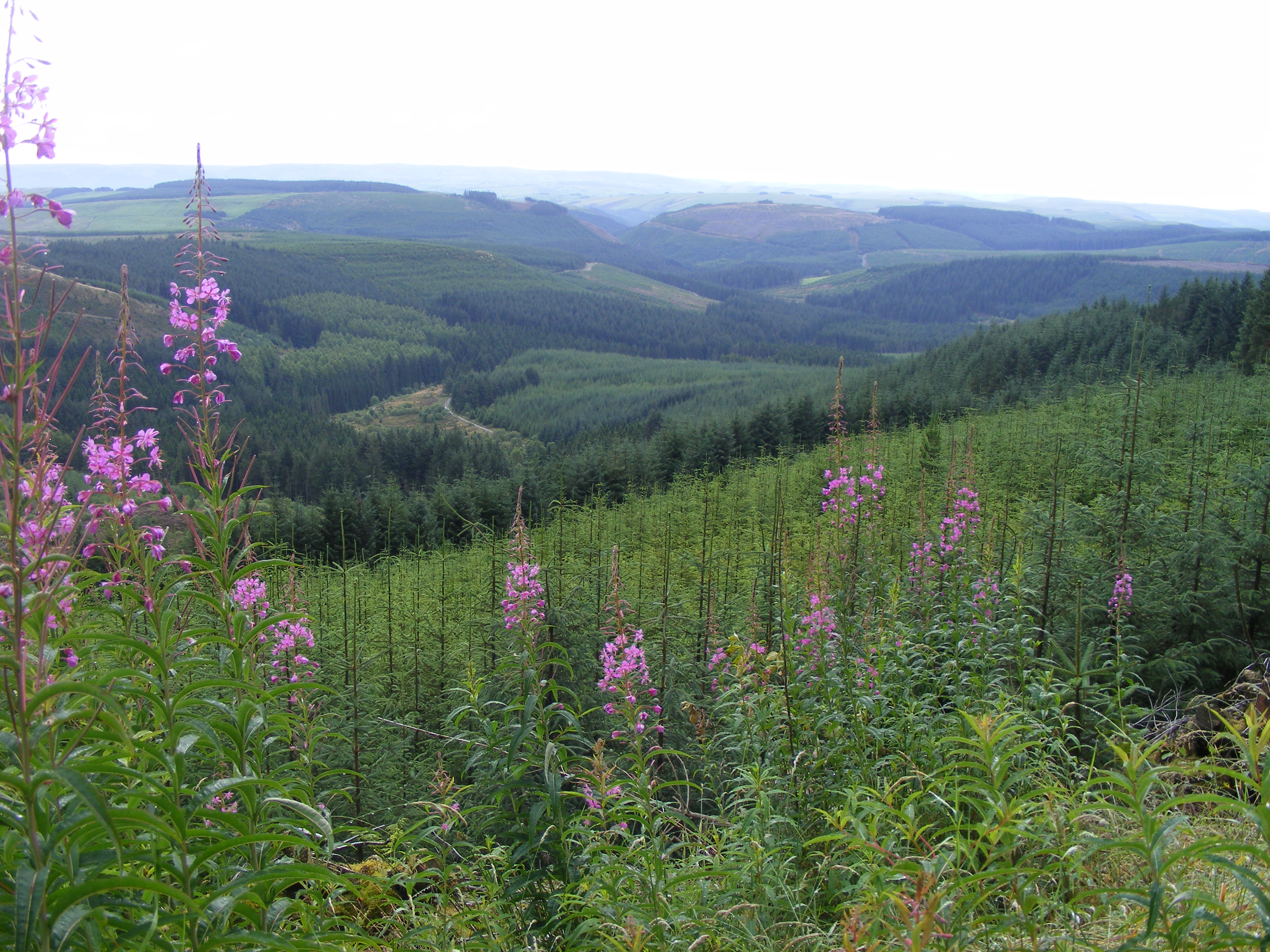
Plynlimon is at the headwaters of the Rivers Severn and Wye. The infrastructure at Plynlimon consists of 10 instrumented research catchments representing different land use options on the same geological parent material. It is the UK’s Critical Zone Observatory, part of the EU and global network of CZOs and is an ExpeER site. The infrastructure records high temporal resolution river flow and meteorological data (40 year data record) and stream water and precipitation chemistry for cations, anions, trace metals, nutrients, pH and alkalinity (30 year data record) and some data for suspended sediment. The site has an extensive spatial data library including topography, digital terrain model (DTM), soils, geology and vegetation/land-use available, open access, through the Environmental Information Data Centre (https://catalogue.ceh.ac.uk/documents/91961a0f-3158-4d00-984d-91eb1e03e8bd). Sub sites in the catchments represent a range of upland management types: mature/clear cut/replanted conifer forest; acid grassland; eroding peatland; improved grassland.Samples analysed for a wide range of major, minor and trace components. Bulk precipitation and cloudwater chemistry is also measured at one location.
-
The Jornada Basin Long-Term Ecological Research (LTER) program is part of a national network of long-term ecological research sites funded by the US National Science Foundation (NSF). The Jornada LTER program has been continuously funded since 1982 to develop general principles governing changes between grassland and shrubland ecosystems based on long-term data collected in the Chihuahuan Desert. Research themes at the Jornada LTER focus on vegetation change, climate and land use impacts on ecosystem function, and the role of dryland processes in structuring communities and landscapes. We translate our findings to dryland ecosystems around the world, and forecast the dynamics of future ecosystem states in response to changing climate and land use. The Jornada Basin is located in southern New Mexico, USA, approximately 25 km northeast of the city of Las Cruces (32.6 N -106.7 W, elevation 1315 m). Annual precipitation is 24 cm and maximum temperatures average 13 C in January and 36 C in June. The study site is near the northern extent of the Chihuahuan Desert, which is the largest of the North American warm deserts, in a region has undergone large shifts in the relative dominance of grasslands and shrublands over the past century. We partner closely with the USDA-ARS Jornada Experimental Range (JER) and the NMSU Chihuahuan Desert Rangeland Research Center (CDRRC), allowing us to benefit from a long history of rangeland research, and to contribute to science-based management and sustainability practices.The Jornada Basin LTER project is administered by New Mexico State University.
-
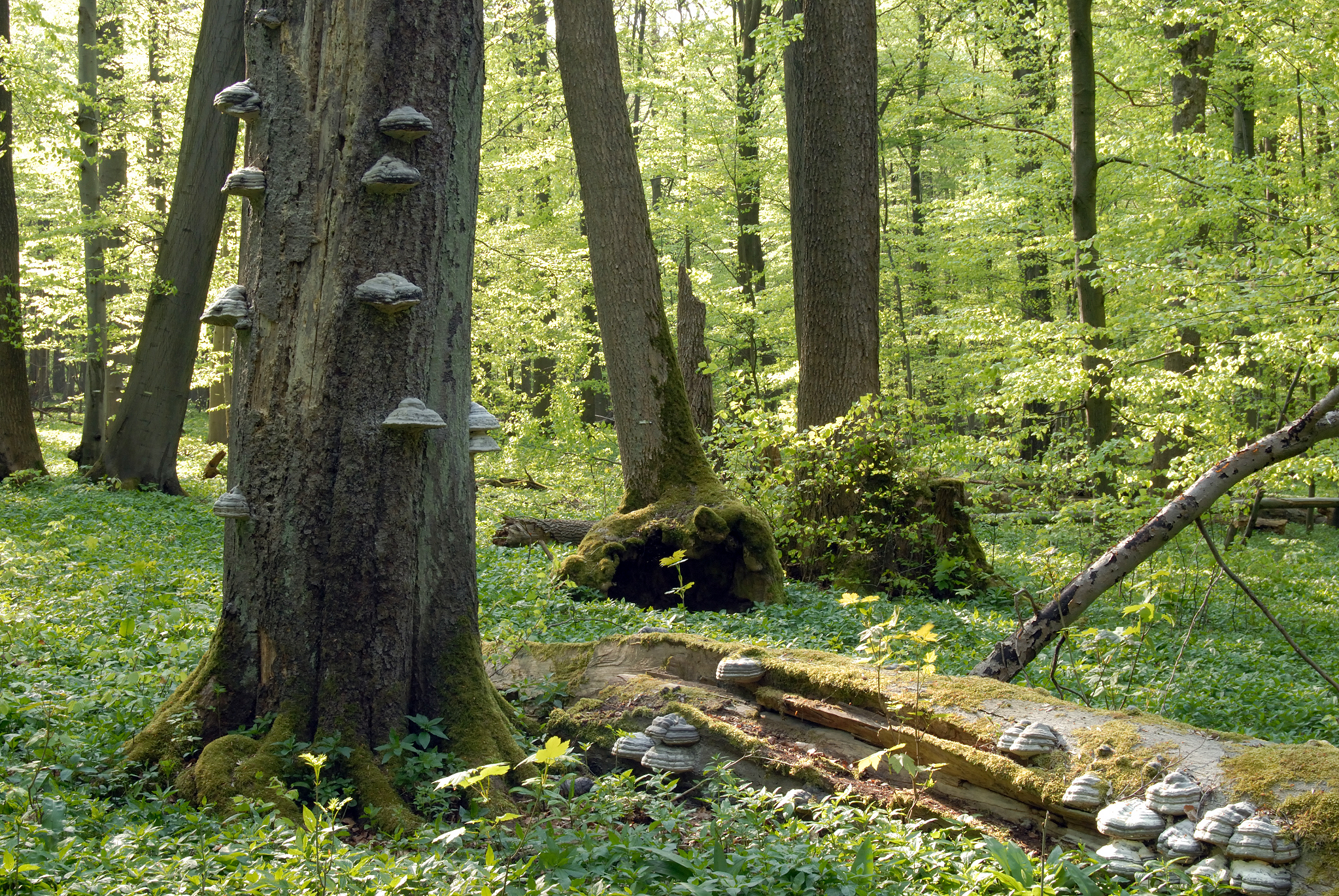
The Hohes Holz is a mixed beech forest, with an intensive research site with respect to carbon and water cycle at the northern border of the Bode catchment close to Magdeburg, Germany. It is certified as class 1 ecosystem station in ICOS.
-
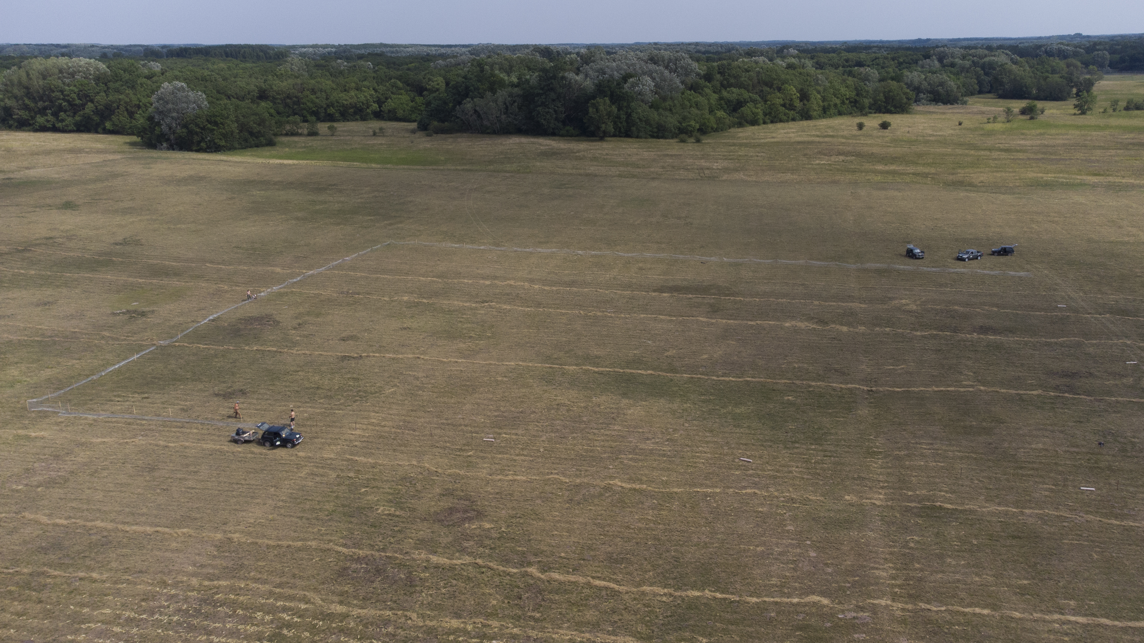
The site is a revitalized young steppe habitat patch, dominated by fescue (Festuca rupicola). The average altitude is around 100 m. The site is a grazing spot and it was recently used for the reintroduction of the European ground squirrel (Spermophilus citellus) to the area after 70 years. Other important species present at the site include Vojvodina blind mole rat (Nannospalax (leucodon) montanosyrmiensis) and Spring meadow saffron (Bulbocodium versicolor).
-
The Lammi LTER area is located 130 km north of Helsinki, 35 km east of the city of Hämeenlinna and 40 km west of the city of Lahti in uplands between two major river basins, i.e. rivers Kokemäenjoki and Kymijoki. The Lammi LTER area consists of several core sites/areas from which the Evo Forest and Lake Area (EVO) is the largest one and has a special value in terms of long term ecological studies. Another important study area is Lake Pääjärvi and its surroundings. The EVO area is among the largest coniferous forest areas in southern Finland. Lake Pääjärvi and its surroundings have been studied since early 1960s as a result of the establishment of the Lammi Biological Station in 1953 by the University of Helsinki.
-
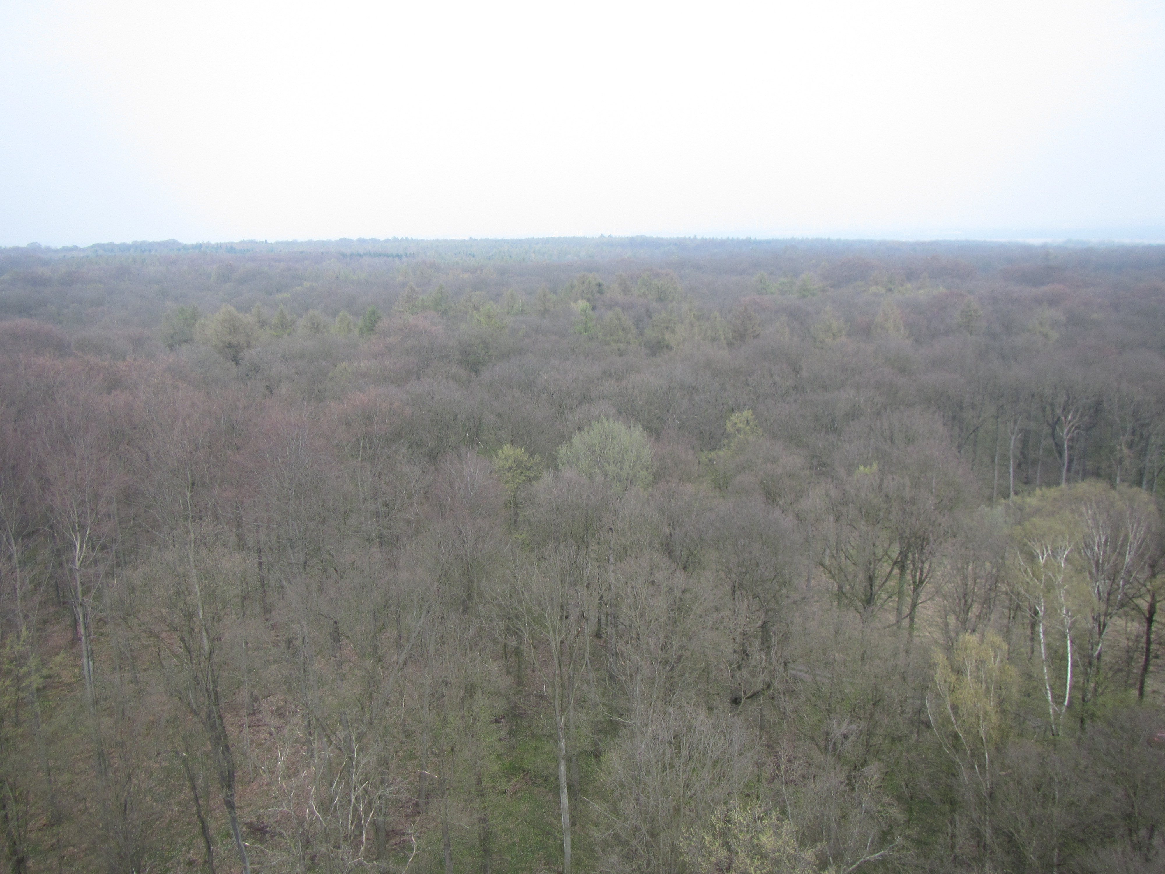
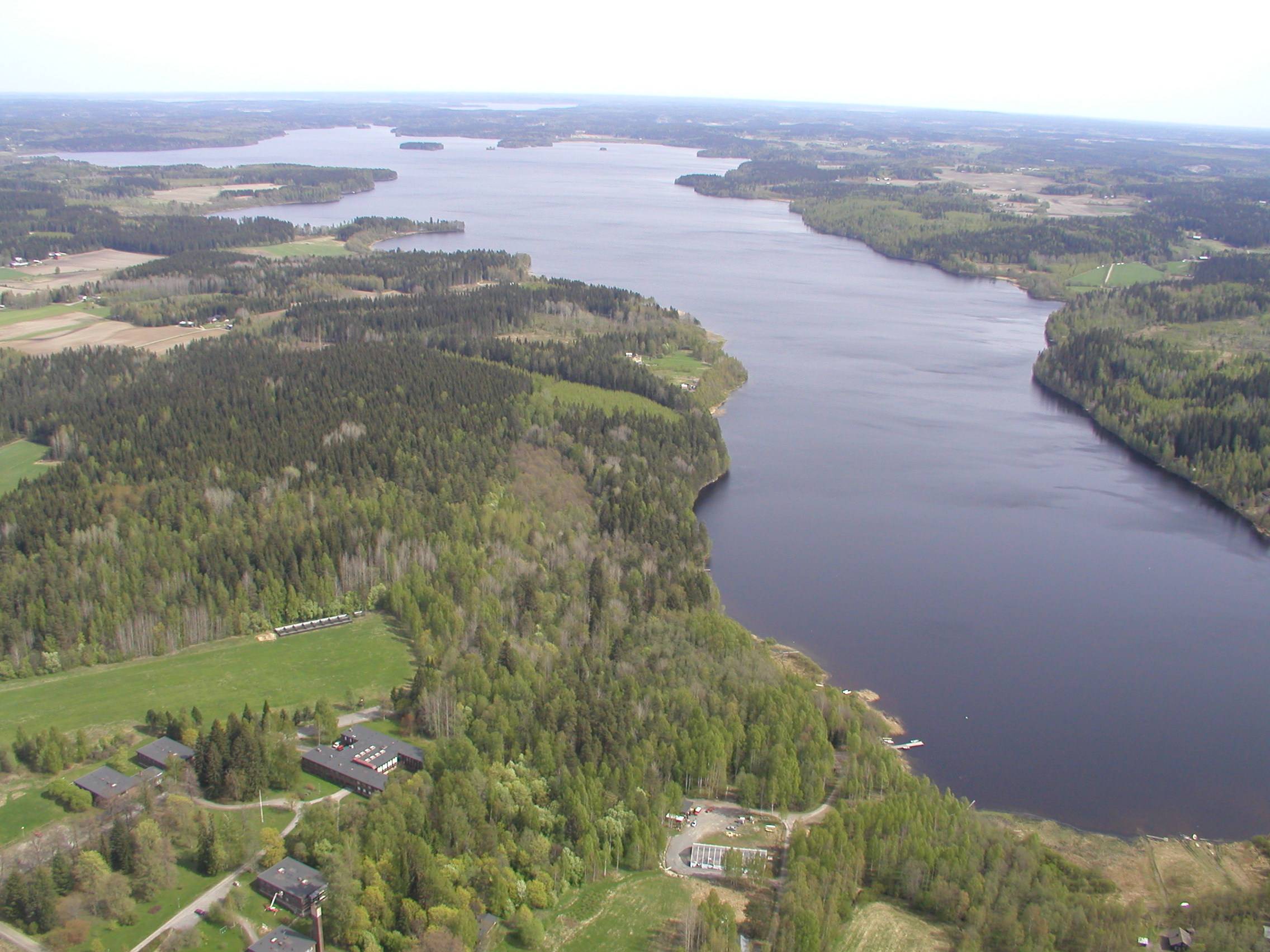
Hainich is a large deciduous forest area in Thuringia and is situated in central Germany not far from the town of Eisenach with the famous Wartburg Castle. With a total area of ca. 16.000 hectares (13.000 hectares of which is forest), Hainich is the largest continuos area of deciduous forest in Germany. On the 31.12.1997 the southern part of Hainich, with an area of 7.500 hectares, was declared Germany’s 13th National Park. Since then it has been seen as a place of relaxation close to nature that is open to sustainable tourism. The area has gone through an amazing development which is quite unique. Since 2011 Hainich is part of UNESCO World Heritage Site "Primeval Beech Forests of the Carpathians and the Ancient Beech Forests of Germany".
-
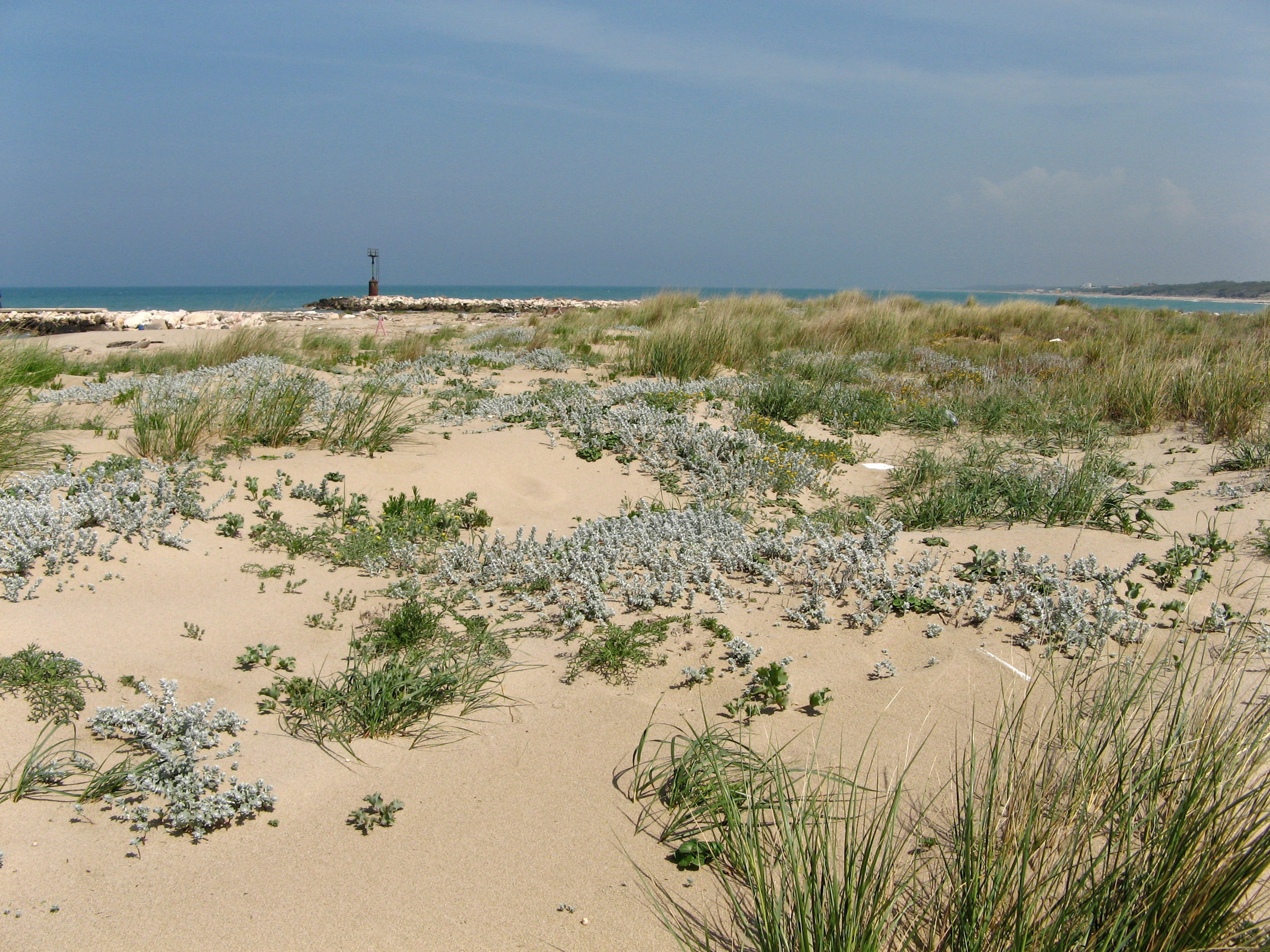
SCI IT7222217 Foce Saccione-Bonifica Ramitelli (Campobasso) The site includes 1 Natura 2000 site along the central Adriatic coast, where the last fragments of natural vegetation zonation on sand coastal dunes occur (shore vegetation, embryo and mobile dune vegetation, annual Mediterranean grasses, costa dunes with Juniperus spp and wet dune slacks).
-
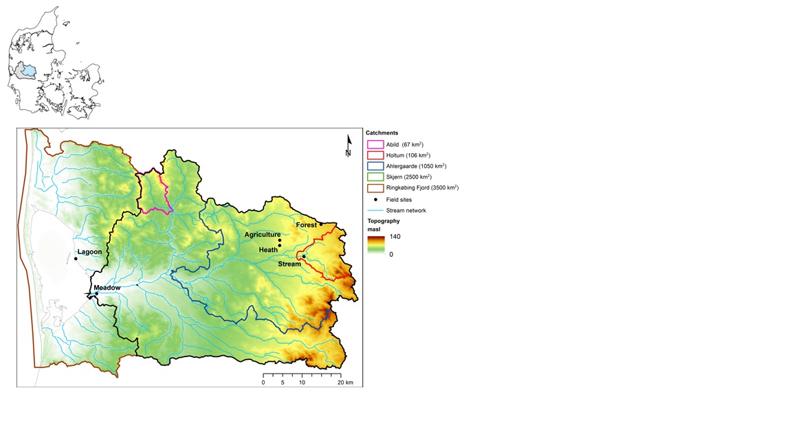
The HOBE experimental catchment is located in the western part of Denmark. The topography of the catchment is relatively flat. The surface elevations in the eastern part of the catchment are about 125 m above sea level at the Jutland ridge and gently decreasing to sea level elevations towards the coast. Alluvial outwash deposits in the form of sand and gravel dominate the central part of the catchment. Towards east, glacial deposits of moraine till are present with a higher content of clay. Also the remnants from the Saale glaciation have higher clay content and the dominant sediment type at these locations is clayey sand. Overall the top sediments are highly permeable with little water retention capability and the stream flow is therefore dominated by groundwater inflow. Based on a classification of the topsoil four soil classes can be identified in the catchment. The by far most dominating soil type is fine/coarse sandy soil. The Quaternary deposits have a thickness less than 50 m in the eastern and central part of the area increasing up to 250 m towards west. The Quaternary deposits are underlain by Miocene sediments in the form of alternating layers of marine, lacustrine and fluvial deposits forming layers of clay, silt, sand and gravel. Further below thick layers of Paleogene clay are found with little permeability and thus acting as a lower impermeable boundary for the aquifer systems. The sand and gravel layers from the Quaternary and Miocene periods form interconnected aquifer systems. The land surface of the catchment is predominantly agriculture and due to the sandy soil characteristics extensive irrigation of the agricultural crops takes place. Based on satellite data the land-use distribution is estimated as follows: grain and corn (55%), grass (30%), forest (7%), heath (5%), urban (2%) and other (1%). The climate of the observatory is of maritime origin and influenced by weather systems coming from the Atlantic Ocean. The weather conditions are variable with frequent precipitation. The prevailing winds from west lead to relatively mild winters and cool summers. The mean annual precipitation is about 1050 mm/year. It varies over the season with highest amounts in the months of October-December and lowest in the months of April-May. The mean annual temperature is 8.20C. The highest mean monthly temperature is in August (16.50C) and the lowest in January (1.40C). Precipitation in the form of snow is highly variable from year to year; in some years, no snowfall occurs and in others, it may stay on the ground for months.
-

Berchtesgaden National Park was established in 1978 and is the only German national park located at the Alps. It comprises three major valleys and covers an elevantional range from 600 to 2700 m. Ecosystems include montane mixed forest and subalpine coniferous forest, alpine grasslands, pastures and rocky habitats. The Department for Research and Monitoring is linked to the Techincal University of Munich. It conducts monitoring on climate, hydrology, ecosystem dynamics and biodiversity. Main research topics include drivers of natural ecosystem dynamics, human impacts on ecosystems and climate change effects on ecosystems.
-

The ZA PYGAR covers the whole Garonne river basin up to the upper part of the Gironde estuary (La Reole station). Within this territory, research is structured around 4 main sites: the Pyrénées mountains, covering the upstream part of the Garonne river basin (PYRénées site), the farmland of the foothills of the Pyrénées (Vallées et Coteaux de Gascogne site), the Garonne river (Axe Fluvial Garonne site) and the basin of two tributaries of the Garonne river in the Massif Central moutains (Aveyron-Viaur site).