
landscape parameter
Type of resources
Available actions
Topics
Keywords
Contact for the resource
Provided by
Years
Formats
Representation types
-
Protected Area shapefiles
-
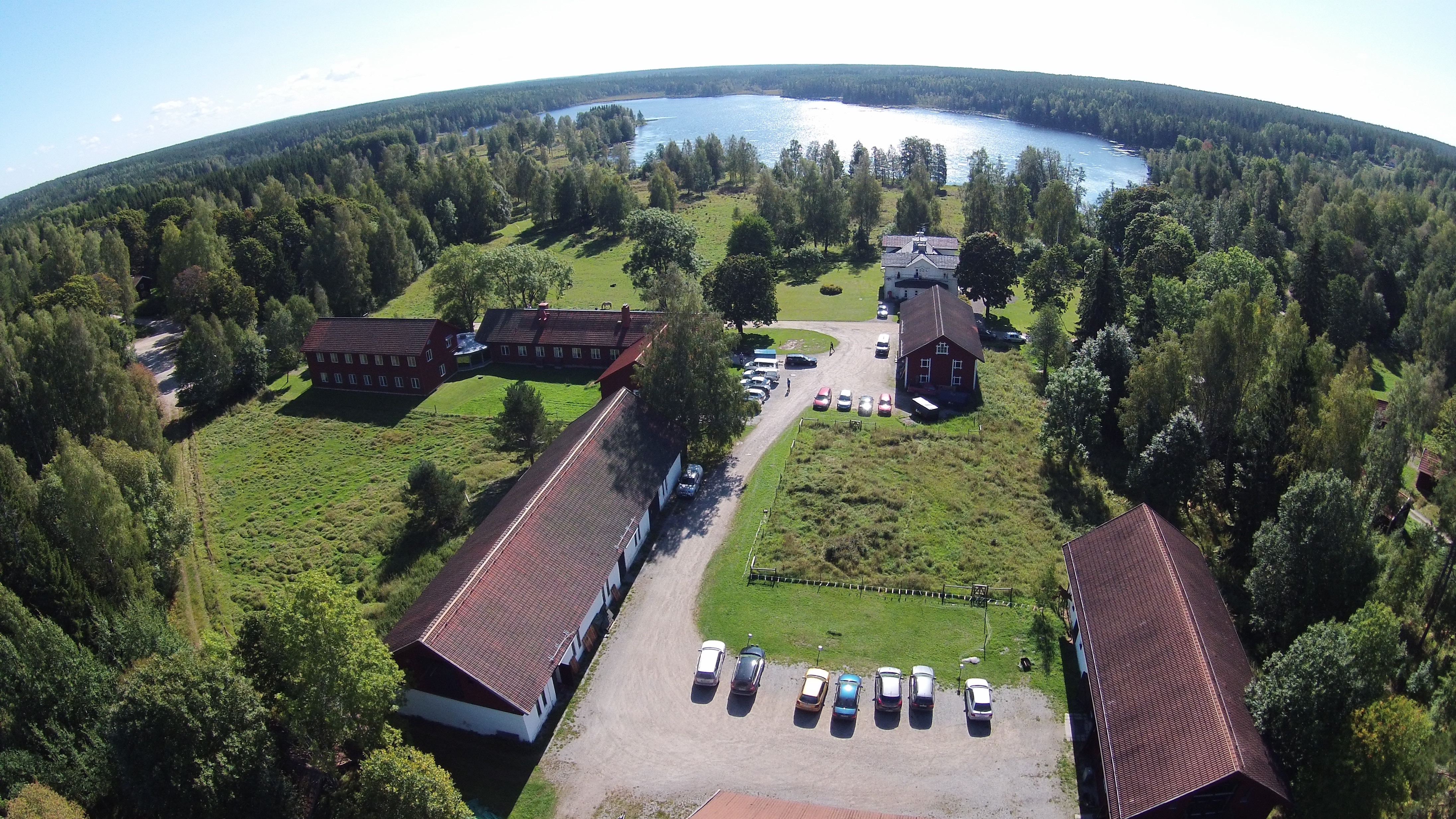
Grimsö wildlife research area (GWRA), SLU, is located in south-central Sweden at the end of the Nordic taiga, in the hemi-boreal zone. GWRA comprise 130 km2, covered mainly by mixed coniferous forest (74%), bogs and mires 18%. About 85% of the area is managed by conventional forest practices, and the area also includes two forest reserves of ca 4 and 11 km2. Farmland constitutes 3%, and lakes and rivers 5% of the area. The landscape is relatively flat, with altitudes ranging from 75 m.a.s.l. in the south to 180 m.a.s.l. in the north. The area hosts the expected mid-Swedish flora and fauna. Wildlife research started at Grimsö in 1974 and the activities has expanded over time and include at present an established staff of ca 40 people.
-
Cartography (1:5000, 1:25000), ortophoto (2003, 1x1m, RGB Bands), shoreline
-
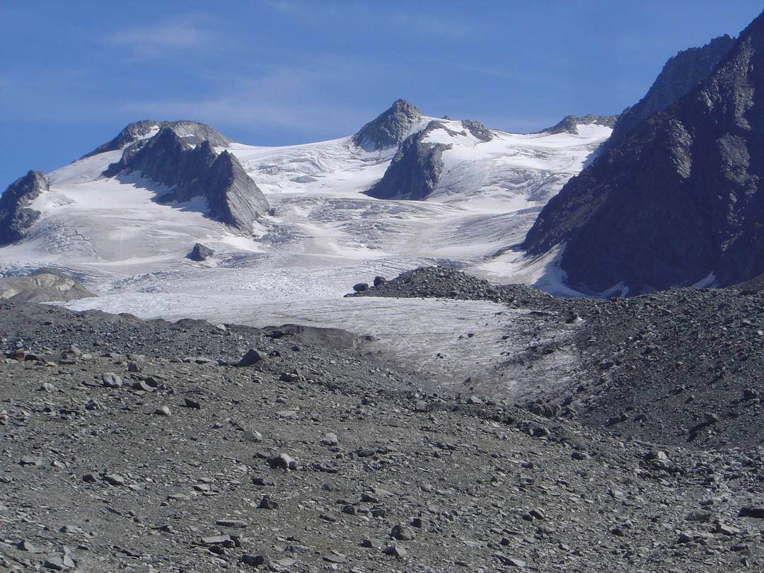
Gebroulaz glacier (GEB) is located in the Vanoise massif (France), between 2700 and 3400 m altitude. The glacier is one of the glaciers with longest records of glacier mass balance worldwide. Data series are continuous and cover few decades.This site is also characterized by the complete glaciological parameters performed annually to complete annual and seasonnal mass balance : ice velocity, ice thickness variation, snout position.In addition, meteorological observations complete the data base. GEB is a part of the French Glacier Observatory GLACIOCLIM/CRYOBS-CLIM.
-
GIS maps of geology and geomorphology
-
Ossoue glacier (OSS) is located in the Pyrennees massif (France), between 2750 and 3210 m altitude. The glacier is one of the last glacier in this massif.This site is characterized by various glaciological parameters performed annually : annual and seasonnal mass balance, ice velocity, ice thickness variation, snout position.OSS is a part of the French Glacier Observatory GLACIOCLIM/CRYOBS-CLIM. All the series on Ossoue glacier (OSS) are unique and necessary for glaciological studies. They permit to calibrate models in order to determine future glacier evolution
-
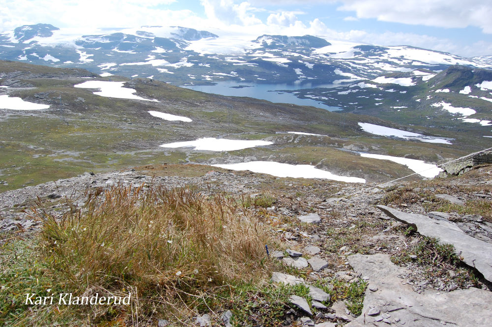
The National Park was established in 1981, and about half of the land is private and the rest is governmental. Hardangervidda is the largest mountain plateau in Europe, and the inner core of Hardangervidda is the largest National Park in Scandinavia (excluding Svalbard). The park is 3422 km2 large, and spans three counties (Hordaland, Buskerud and Telemark) and eight municipalities. The protection regime is National Park (IUCN Category II) and it also includes some Landscape Protected Areas (IUCN Category V), see map. Cultural heritage: Several hundred nomadic Stone Age settlements have been found in the area, most likely related to the migration of the reindeer. Ancient trails cross the plateau, linking western and eastern Norway. Land use: The natural resources on the plateau are of great value to the surrounding villages, and this National Park has allowed a rather high level of land use and associated buildings. The consequence of this type of management is that there is quite a lot of motorized traffic associated with the harvesting of resources and maintenance of buildings, in addition to the operation of tourist cabins. Large flocks of sheep are grazing and browsing every year. There is also regulated fishing and hunting. In addition, Hardangervidda National Park is used as a recreation area and as a source of extra food for urban citizens. •Hardangervidda National Park Centre at Skinnarbu in Tinn - is opening as a visiting centre with a new exhibition in 2013. •Hardangervidda Nature Centre Eidfjord - visitor centre for Norwegian nature, climate and environment. Open April to October. On Skinnarbu you also find the Southern Norwegian Wild Reindeer Centre, a centre working with conservation and sustainable management of the wild reindeer and the wild reindeer areas in Norway.
-
Airborne Laserscanning data (Elevation, surface model)
-
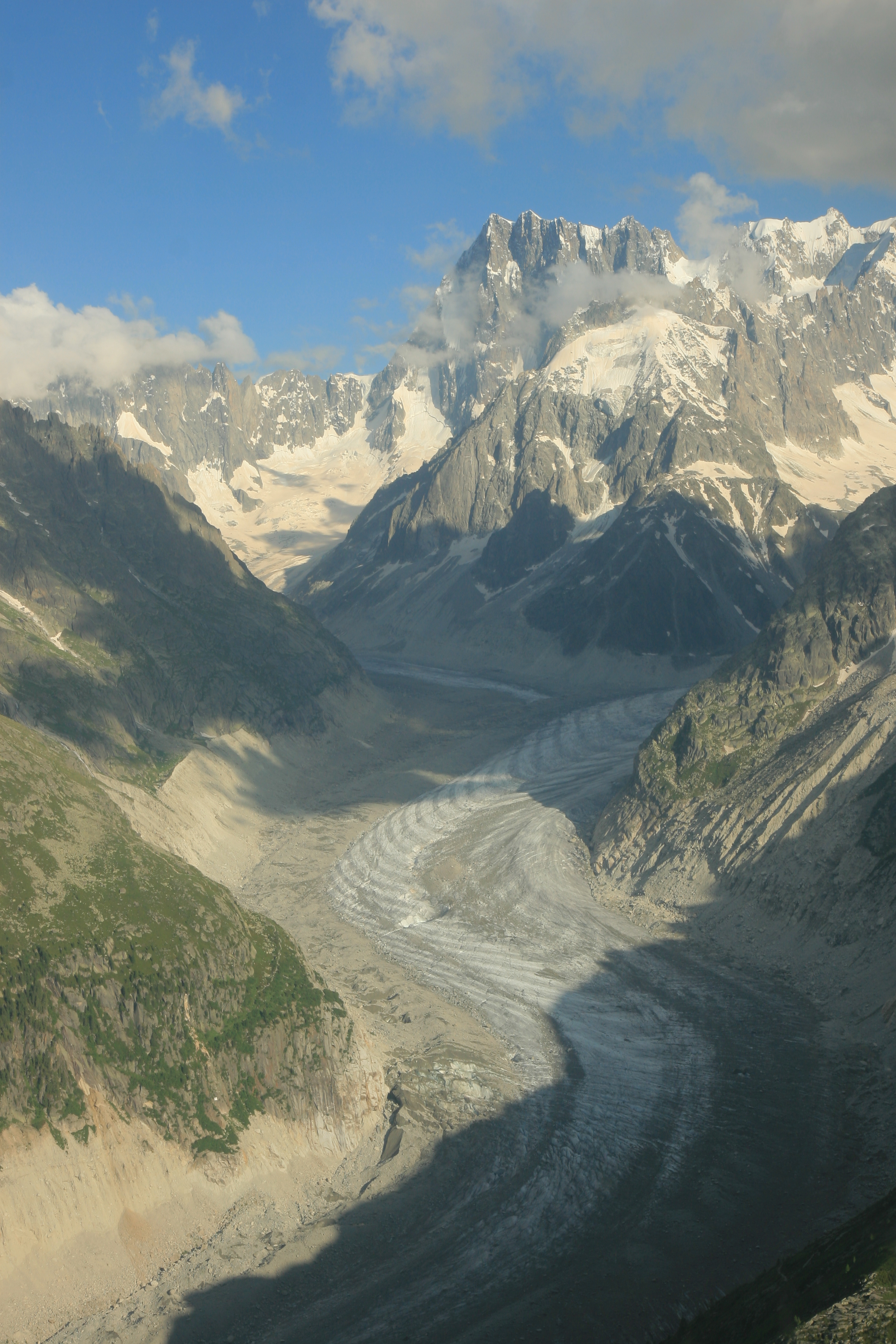
Mer de Glace Glacier (MDG) is located in the Mont-Blanc valley (France), between 1500 and 3600 m altitude. The glacier is the larger glacier in France and one of the glaciers with longest records of glacier mass balance worldwide. Data series are continuous and cover few decades.This site is also characterized by the complete glaciological parameters performed annually to complete annual and seasonal mass balance: ice velocity, ice thickness variation, snout position.In addition, meteorological observations complete the data base. MDG is a part of the French Glacier Observatory GLACIOCLIM/CRYOBS-CLIM.
-
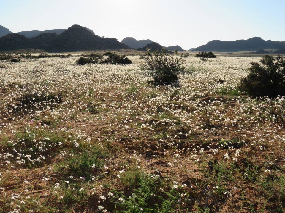
Goegap Nature Reserve is a protected area situated in the Succulent Karoo Biome of the Northern Cape province