latitudinal diversity gradient
Type of resources
Available actions
Topics
Keywords
Contact for the resource
Provided by
Years
Formats
Representation types
-
Lake Beyşehir, the largest freshwater lake in Turkey as well as in the Mediterranean basin, has a surface area of approximately 650 km2 and mean and max depth of 5–6 and 8–9 m, respectively. The catchment is situated in a semidry Mediterranean climate having an average temperature of 11 °C and an annual total precipitation of 490 mm during 1960–2012. In this period, precipitation values fluctuated between 317 and 716 mm (Beyşehir meteorology station, www.mgm.gov.tr), and the lowest annual average temperature was recorded in 1992 (8.5 °C) the highest in 2010 (13.1 °C). The catchment area of the lake is 4704 km2. The northern and eastern parts of the catchment are flat and intensively used for crop farming, while the western part of the catchment is dominated by mountains covered with forests and small areas of low-intensity agriculture. Nearly half of the catchment (42.7%) is covered by range-brush, 25.5% by agricultural land, and 13.5% by water (including Lake Beyşehir, the inflows, and wetlands), while forested areas (evergreen and deciduous forests) constitute 11.2%. The elevation ranges between 1027 and 2958 m.a.s.l., with an average elevation of 1370 m.
-

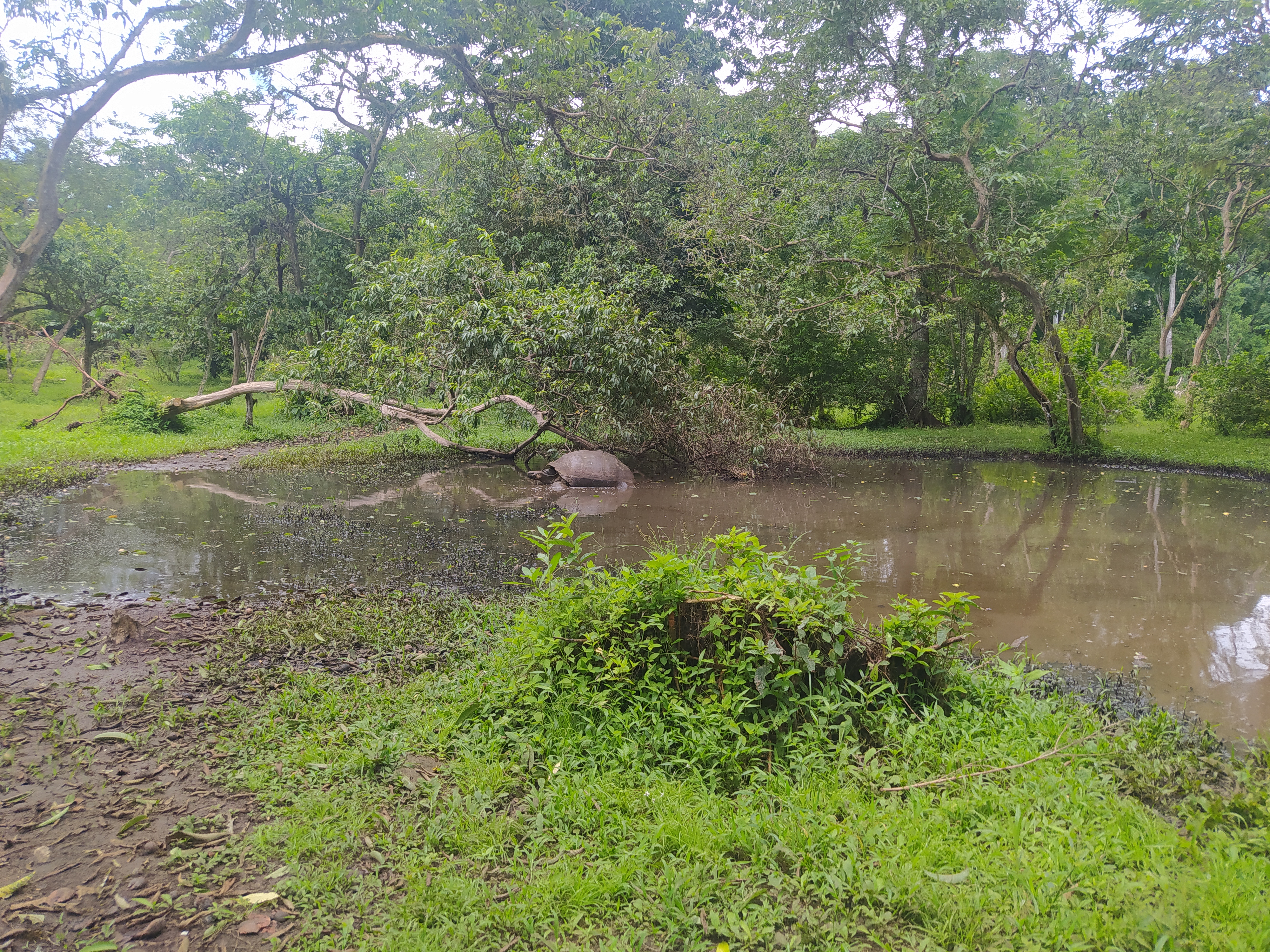
Historically, the role of the Galapagos Islands has been considered critical due to the evolutionary diversification induced by natural and historical isolation. The Galapagos National Park was established in 1959, based on its historical importance associated with Charles Darwin's voyage and its rare and endemic biodiversity, composed of unique vertebrate and plant communities (Rozzi et al. 2010). In 1978, the Galapagos Islands were declared a UNESCO World Heritage Site, a critical factor associated with this national park (Rozzi et al. 2010). The Galapagos Islands are a pristine area with local and regional climates influenced by the interaction of ocean currents and winds driven by the Inter-Tropical Convergence Zone; ITCZ (Conroy et al. 2008, Trueman and d'Ozouville 2010). The long-term programme includes forty natural aquatic ecosystems (lakes, ponds, lagoons and swamps) that will be sampled on the islands of San Cristobal, Santa Cruz, Isabela and Floreana, where possible along a lowland-highland gradient. The number of sampling points will vary according to environmental heterogeneity and the presence of a littoral region, among other factors.
