
leaf longevity time
Type of resources
Available actions
Topics
Keywords
Contact for the resource
Provided by
Years
Formats
Representation types
-
Mt Halla San is in Jeju Island, the only volcanic subtropical island, in South Korea. Every year the island is hit by several typhoons. It has shaped unique environmental characteristics and biodiversity. In addition the mountain is one of the most popular vacation sites with growing ecological concern.
-
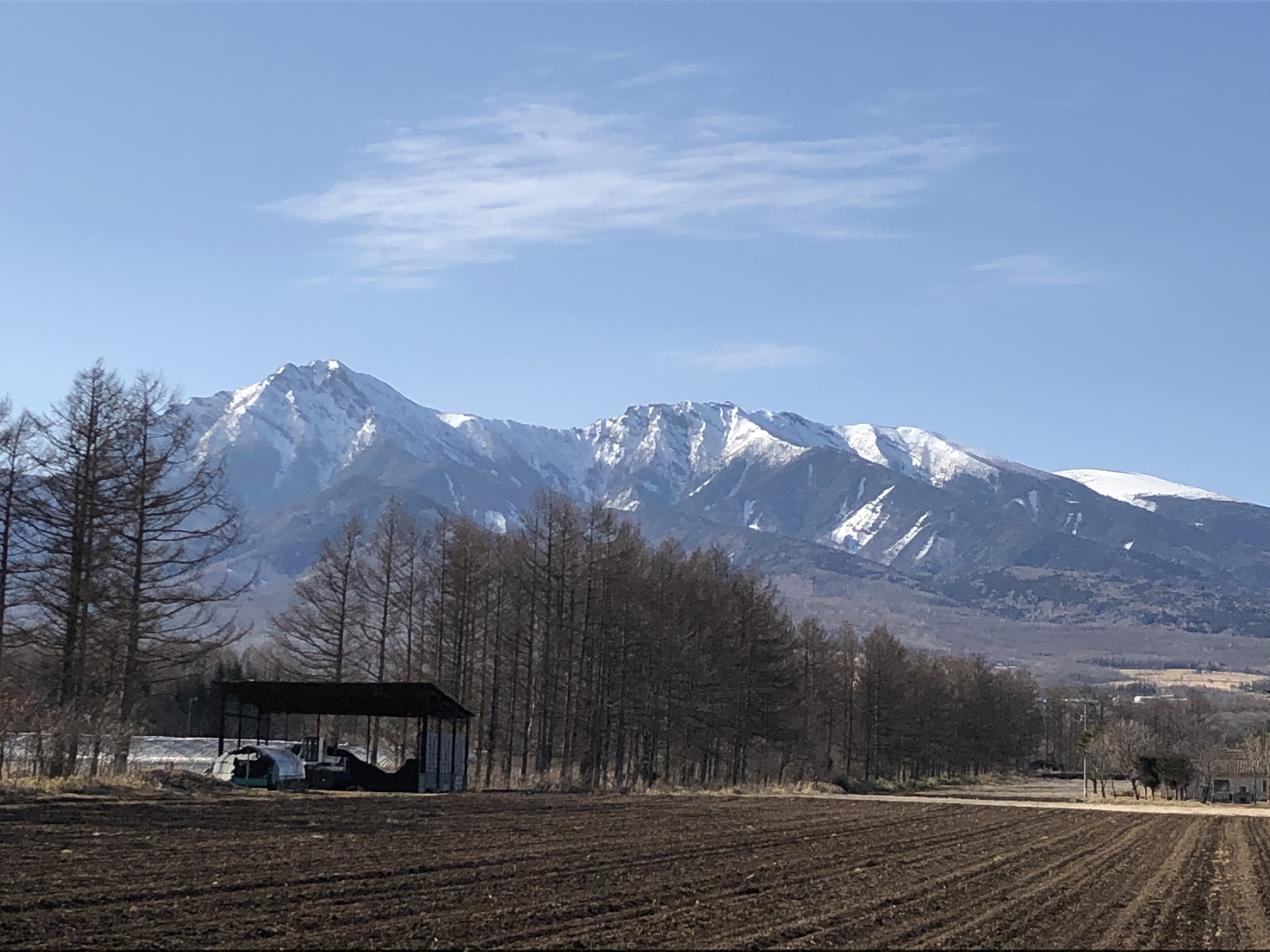
The Yatsugatake-Kawakami Forest of Mountain Science Center, University of Tsukuba, consists of three forest areas: the Yatsugatake Forest (80 ha) located in Minamimaki, Nagano Prefecture, Japan, the "Megumi-no-Mori" (14 ha) on the campus where the administration building is located, and the Kawakami Forest (189 ha) located in Kawakami, Nagano Prefecture, Japan. The Yatsugatake Forest is 1400-1450 m above sea level, and the Megumi-no-Mori is 1350 m above sea level. The forest is characterized by gentle slopes without remarkably topographic change and a mosaic of secondary deciduous broad-leaved forest dominated by oak (Quercus crispula) and Asian black birch (Betula davurica), and intermediate moor characterized by thatch herb (Moliniopsis japonica) and Japanese alder (Alnus japonica). Rare plants such as primrose (Primula sieboldii) and drosera (Drosera rotundifolia) are also found here. Black soil is distributed throughout the Yatsugatake Forest and Megumi-no-Mori. The Kawakami Forest is located between 1360 and 1700 m above sea level. 70% of the forest area is planted with Japanese larch (Larix kaempferi). The rest is a secondary deciduous broadleaf forest dominated by oak and birch. Some of the forests are dominated by a beech (Fagus crenata) stand, a natural Sawara cypress (Chamaecyparis pisifera) stand, and spruce (Picea alcokiana) stand. The forest is covered with brown and black soils, and the topography of the forest is more varied than that of the Yatsugatake Forest, including ridges and valleys. In the Kawakami Forest, an ecological survey of forest mammals is also being conducted. At these three forests, education and research are conducted on ecological surveys of trees, rare plants, and wildlife (population dynamics and conservation ecology), forest meteorological observations, and artificial forest management and operation.
-
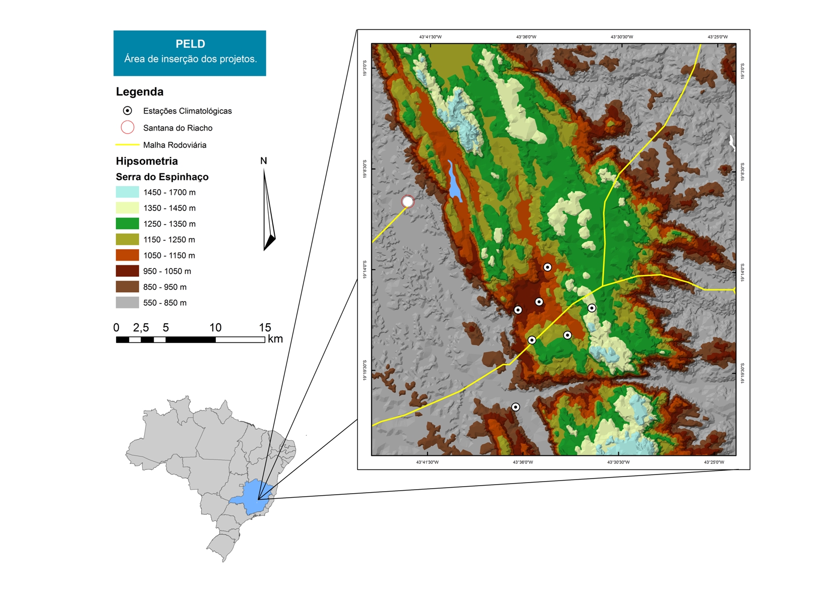
For over 20 years as a team of Long Term Sites in Serra do Cipó PELD-CRSC has been working to answer crucial questions of evolutionary ecology and provide a basis for understanding the spatio-temporal ecosystem functioning and it is future challenges with changes in climate and land use.
-

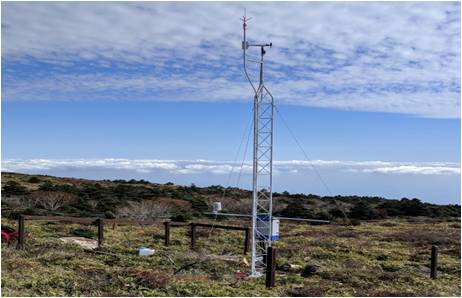
Monitoring stations in Aukštaitija NP started functioning in 1993. Aukstaitija station (LT01) was founded in strict reserve zone of Aukstaitija national park in Ažvinčių old forest, Versminis river closed basin. The area of the basin is 101.5 ha. The lowest place is at 159.5 m, the highest - 188.6 m above sea level. Geographical co-ordinates of the basin are: longitude - 26*03*20* - 26*04*50*, latitude - 55*26*00* - 55*26*53*. The climate is characterised as average cold with high humidity and abundant precipitation. The average air temperature is 5.8 C, average precipitation - 682 mm. Length of vegetation period - 189 days. Side glavioacvalic accumulation forms with sand, gravel and stones are typical for river basin and in the western part of the basin, with the decrease of surface altitude transfers into fliuvioglacial terrace delta plain with fine sand, and at the source- into marsh accumulation forms with organic sediments. At the eastern side of the basin, which has higher altitudes, the typical for this basin glavioacvalic accumulation forms transfer into gravel sand. Carbonates start foaming at 45 cm depth (Gulbinas et al., 1996). The saturation of the river water with the oxygen is very weak. The average yearly oxygen concentration equals to 2.9 mg/l (minimal allowable concentration – 6 mg/l). The pH value of the water fluctuates from 7.10-7.75 mg/l, which indicates the alkalisation of the water. Concentration of hydro-carbonate ions varies in the intervals of 148-224 mg/l. Concentrations of sulphates and chlorides are very small. Calcium and magnesium ions are dominating in the media of cations. Concentration of natrium ions is insignificant – 2 mg/l 9DLK=120 mg/l), concentration of kalium ions reaches only tenths of mg/l (DLK=50 mg/l). According to the size of mineralisation the river water could be described as having average mineralisation levels. Concentrations of nitrogen materials (ammonium nitrogen, nitrates) are small, compared to maximum allowable concentrations (DLK) set for surface waters. Concentrations of phosphates are small. Silicium concentrations fluctuate from 2 mg/l to 9 mg/l (Čeponienė, 1997). Main ecosystems Coniferous multi-layered forest stands are prevailing in the basin, which are mainly pine trees with a mixture of spruce. Those stands usually have a second and third tree layer with abundant under layer vegetation. Spruce stands are also of complicated structure. The second and third spruce layer with abundant under layer vegetation are common. Remarkable amounts of territory are occupied by mixed conifer-deciduous or mixed conifer forests. Pure birch stands in more wet habitats in the vicinity of Versminis river source can also be found. According to the forest stand age they are old pure overmature or with accompanying forest stands of several age classes. It is mainly multi-aged and multi-layered over mature pine and spruce stands. In addition The study was based on monitoring data on crown defoliation of more than 3000 Scots pine (Pinus sylvestris L.) trees from 20 permanent observation stands (POS) annually obtained between 1994 and 2009 in Aukstaitija national park (ANP), located in the eastern part of Lithuania (Fig. 1). Over 16yr period mean values of crown defoliation of every sample pine stand were computed annually. Therefore the total number of treatments made N=320. These stands were classified according to stand maturity: 4 sapling stands (45 to 50 years – Table 1, section “Stand maturity”, group 1), 5 middle aged stands (61 – 80 years – group 2), 4 premature stands (81-100 years – group 3), 3 mature stands (101-120 years – group 4) and 4 over mature stands (> 121 years – group 5). Main characteristics of the considered stands are compiled in table 1. All stands represent the prevailing in Lithuania Pinetum vaccinio-myrtilosum forest type.
-
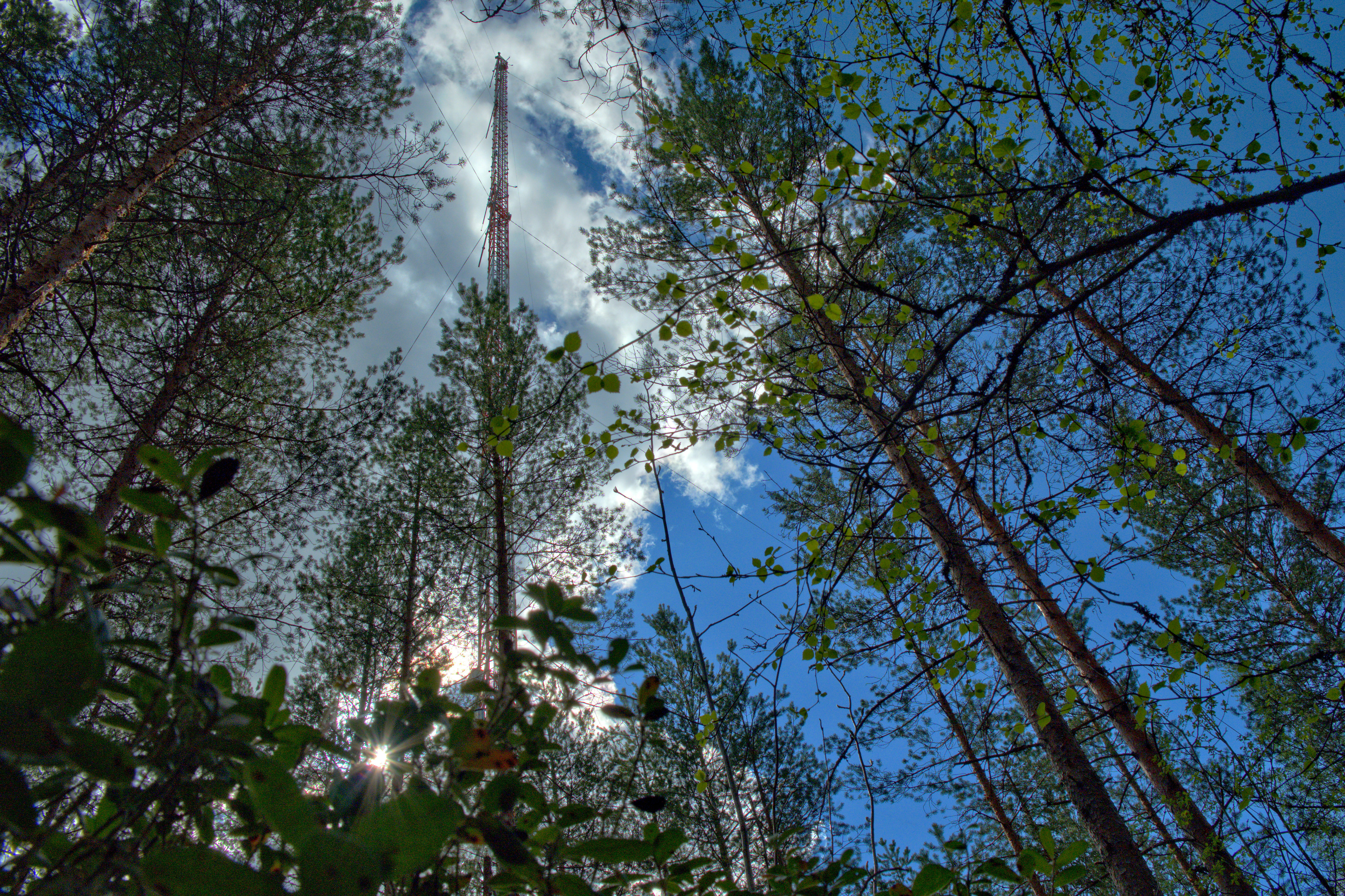
The Hyytiälä SMEAR II site (Station for Measuring Ecosystem-Atmosphere Relations) is situated in the Hyytiälä Forestry Field Station of the University of Helsinki. The site consists is a managed, 60-yr old Scots pine forest stand. The main idea of SMEAR type infrastructures is continuous, comprehensive measurements of fluxes, storages and concentrations in the land ecosystem–atmosphere continuum. The forest measurements are operated continuously since 1996, and include e.g. leaf, stand and ecosystem scale measurements of greenhouse gases, volatile organic compounds, pollutants (e.g. O3, SO2, NOx) and aerosols, in addition to full suite of meteorological measurements. The biogeochemical cycles and vegetation–soil–atmosphere interactions are studied both experimentally and with long-term observations. The site has full carbon, water and nitrogen budgets made over 10 years, and it is a full ICOS ecosystem and atmospheric station. Ecosystem and atmosphere measurements also exist nearby in two open oligotrophic fen sites and a humic lake with forested catchment. Most of the measured data can be retrieved from: https://smear.avaa.csc.fi/