
mineral nitrogen mineralised from organic matter
Type of resources
Available actions
Topics
Keywords
Contact for the resource
Provided by
Years
Formats
Representation types
-
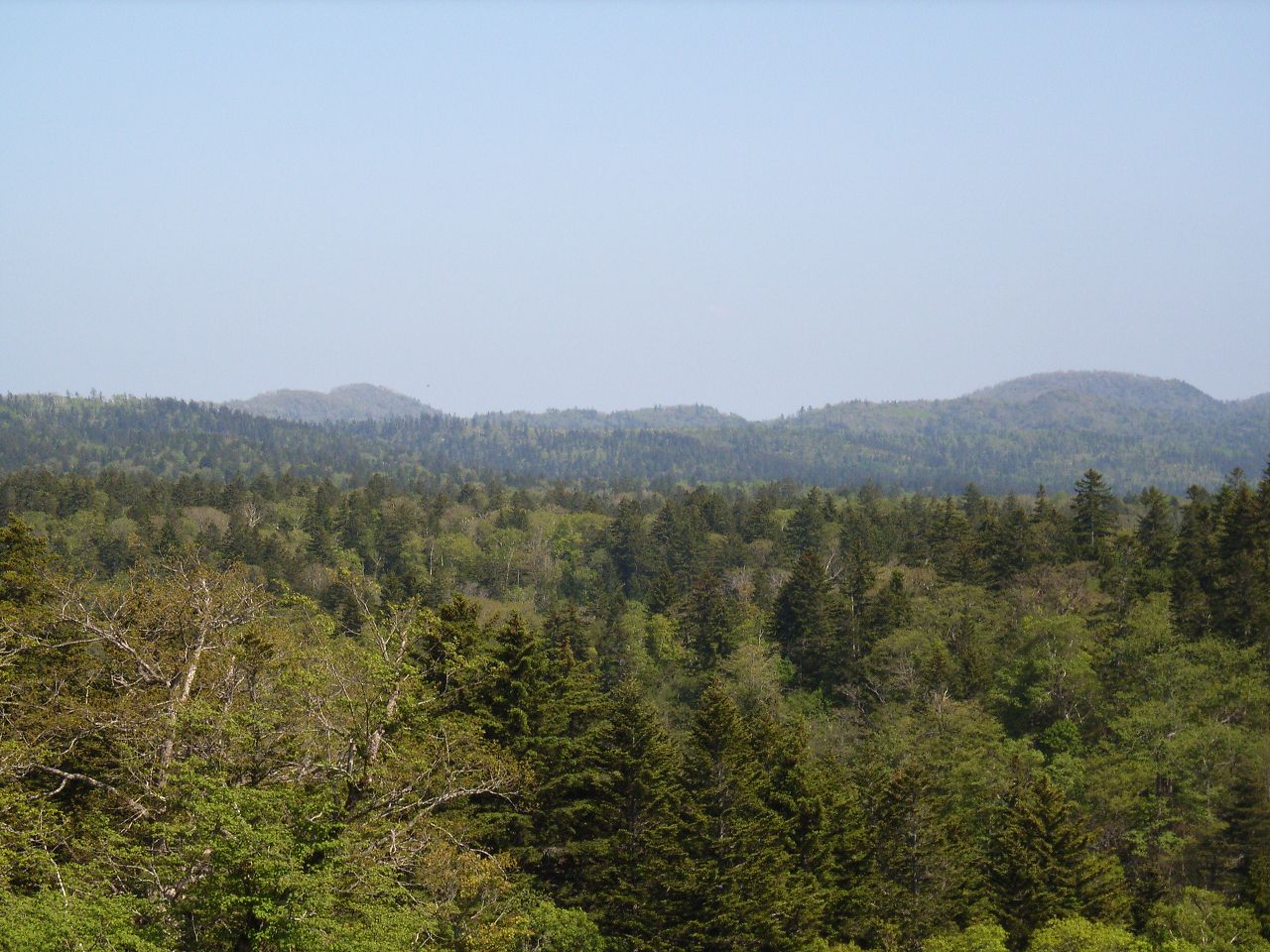
Teshio Experimental Forest (TEEF) is the northernmost university experimental forest in Japan, and was established in 1912. Total area of TEEF is ca. 22,500ha and is located within the Toikanbetsu River Basin. The 45 degrees north latitudelat line goes through at the center of this Forest. Annual mean air temperature is 5.7°C , and maximum and minimum air temperatures are 30 and -30°C, respectively, and the annual range sometimes exceeds 60°C. Annual precipitation is ca. 1000 mm and snow falls from November to April. Maximum snow depth in winter is ca. 1.2 m at the experimental forest office and exceeds 2 m in the mountain range. Strong wind dominates from winter to spring caused by the dry monsoon. TEEF has been used as a study site in various field of research and education for many years.
-
Tomakomai Experimental Forest (TOEF) was established in 1904, as a field of research and education about forest science. The forest covers 2,715ha of lowland area near the Tomakomai city, and it has been used as a study site in various field of research and education for many years.
-
The LTSER Zone Atelier Armorique belongs to LTER-France network and is located in Brittany, north-western France. The ZA Armorique conducts an interdisciplinary exploration of landscapes from urban areas to rural countryside, integrating social and environmental dynamics.
-
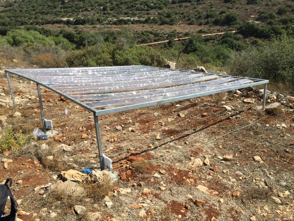
The Matta LTER station studies the effects of climate change on the structure and function of Mediterranean shrubland ecosystems in Israel
-
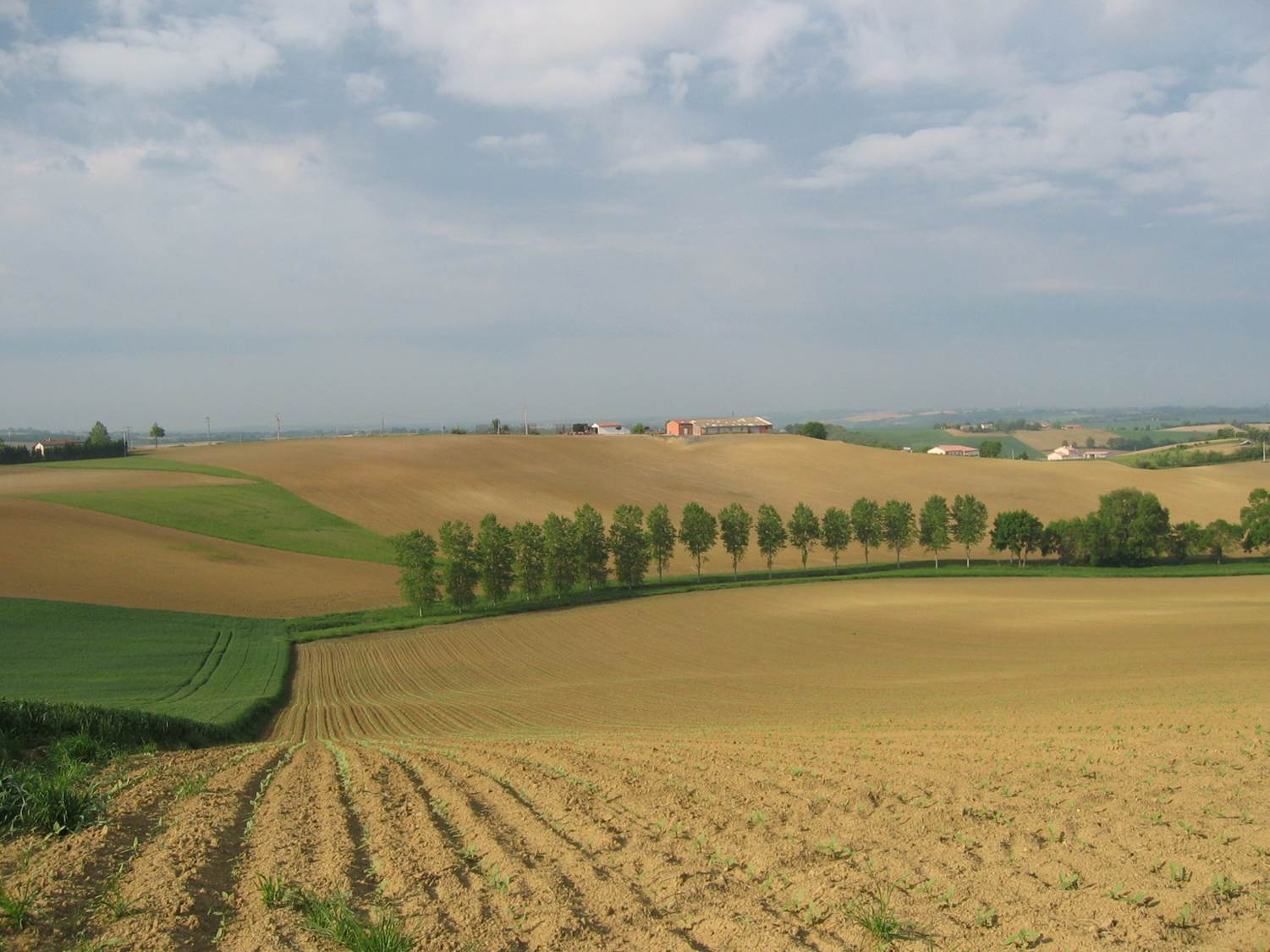
The LTSER platform Zone Atelier Bassin du Rhône belongs to LTER-France network and is located in south eastern France, ranging from the Alp mountains to the Camargue delta, in the mediterannean sea. The LTSER focus on aquatic continental ecosystems (lakes, rivers and wetlands) from alpin to mediterannean climats. The ZABR aims at elucidating the relationship between a large river, the Rhône river, its channel and associated ecosystems and the societies established in its landscape, using a multidisciplinary approach. Research topics include physical and chimical characteristics, ecosystem dynamics, sociological studies. Long term changes in ecological processing and pollution are taken into account using paleoecological studies. Perception of the natural and anthropised environment are considered through geographical and sociological studies.
-
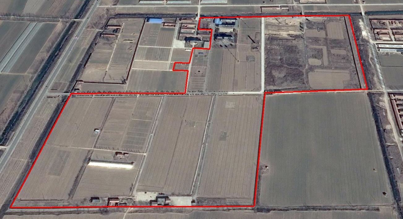
The Yucheng Comprehensive Experiment Station (YCES) of Chinese Academy of Sciences (CAS) is located at the irrigation district of the Yellow River Basin in the Huang-Huai-Hai Plain, also called North China Plain. Physiognomy is characterized as hinterland covered mainly by fluvo-aquic soil (Fluvisol or cambisal) and salinized fluvo-aquic soil in the Yellow River Alluvial Plain. This region is dominated by warm-temperate semi-humid monsoon climate with ample energy and water resources. Historically, natural disasters such as drought, waterlogging, salinization, and wind erosion frequently occurred, resulting in vulnerable ecological environment and low grain production. Integrated improvements and managements were deployed in last several decades, and this region has become suitable for planting winter wheat, corn, cotton, and soybean with high yields in the Huang-Huai-Hai Plain. Research objectives and contents Objectives: regional sustainable agriculture rational utilization of natural resources such as water, land, climate, biomass, etc. Contents: conducting long-term observations and experiments understanding the mechanism of energy transfer and mass cycle in farmlands developing models from point to regional scales improving and developing instruments and measurement methods improving agro-ecosystem managements demonstrating research results and technologies Research achievements: Outstanding research results and massive experiment data have been achieved at the YCES. The achievements cover research fields of farmland evapotranspiration, crop water use, water transfer mechanism, experimental remote sensing techniques, regional agriculture demonstration, and technology transfer. More than 1,000 papers, 15 monograph books, and 5 data sets have been published. A number of awards were granted by national, CAS, and international academic organizations, for example, Agriculture Prize granted by the Third World Academy of Sciences Science and Technology Progress Award by Chinese Academy of Sciences National Top Award of Science and Technology Progress
-

The Cairngorms National Park is one of 15 National Parks in the UK (one of two in Scotland) and is Britain's largest National Park (4,528 km2). It is the location for some of the most spectacular landscapes in Britain and is home to an incredible diversity of wildlife and plants. http://cairngorms.co.uk/the-park/facts-figures/ The aims of the National Park are: • To conserve and enhance the natural and cultural heritage of the area; • To promote sustainable use of the natural resources of the area; • To promote understanding and enjoyment (including enjoyment in the form of recreation) of the special qualities of the area by the public; • To promote sustainable economic and social development of the area’s communities. Cairngorms National Park, seven broad habitats can be identified: • Enclosed farmlands • Woodlands • Open waters (rivers, lochs, wetlands and floodplains) • Mountains • Moorland • Semi-natural grasslands • Urban • Population of c17,500 • 25.8% of population over 60 (higher than Scottish average) • Average health index in top 25% of Scotland (based on deprivation indices) • Extensive core paths network • 55 Munros including 5 summits over 4000 feet • 3 ski centres • National Cycle Network Route 7 • 1 Long Distance Route (Speyside Way) • Relatively low atmospheric pollution • Annual precipitation over 2250mm on summits and under 900mm in straths • Average annual snow cover 200 days on summits and 50 days on low-ground • Prevailing winds from south-west
-
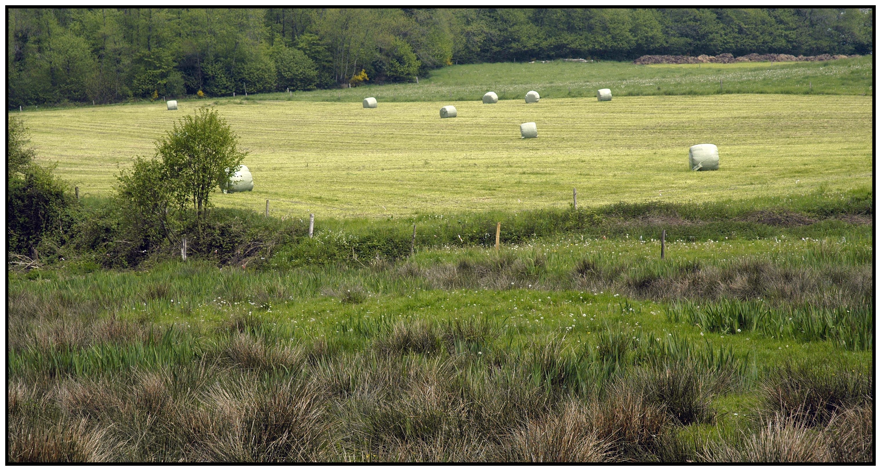
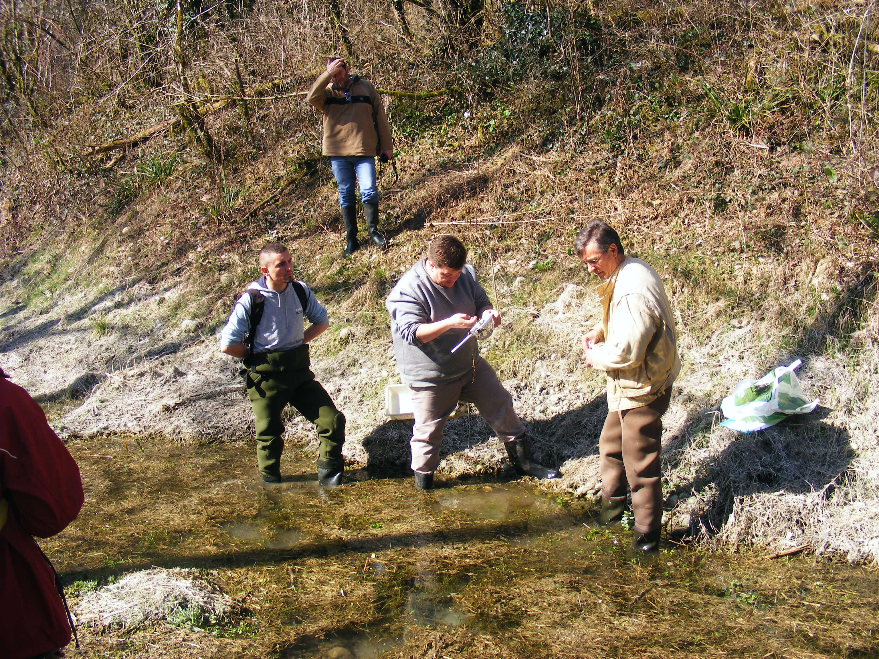
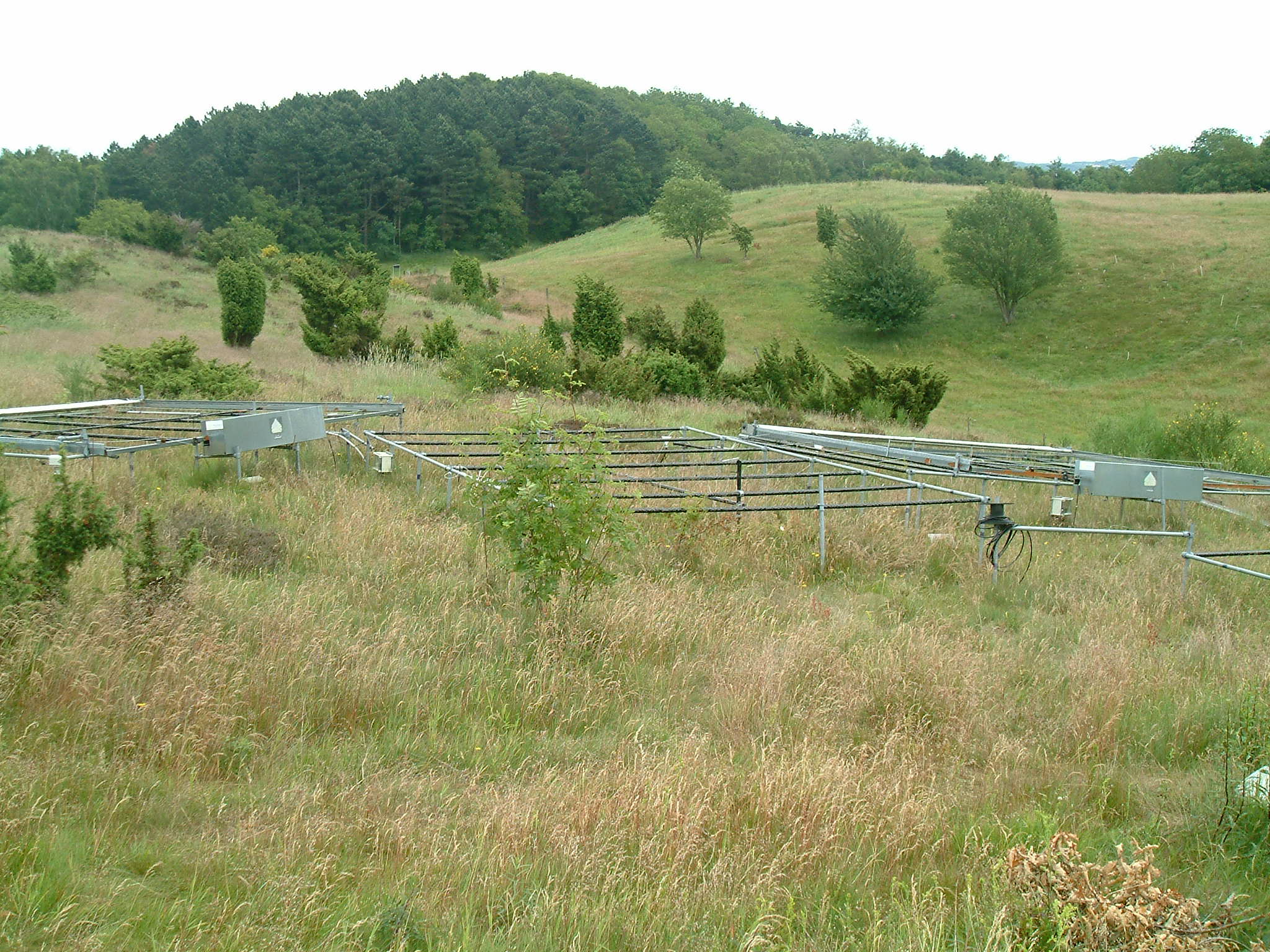
Small agricultural catchment (320 ha) with 30 years of data to study impact of climate change and agricultural practices on soil erosion, weathering rate and river fluxes. Continuous measurements with sensor: river discharge, Temperature, pH, conductivity, turbidity, dissolved oxygen, nitrate Weekly samples and high resolution sampling during storm runoff: major cations and anions, alkalinity, pH, dissolved silica, conductivity, total suspended solids, stable isotopes (13C of DIC, 2H and 18O of H2O, 15N of nitrates), heavy metals, some pesticide molecules Climatological station, rain collector for precipitation chemistry, soil solution station with lysimetric plate at different depths. Continuous measurement since 2004 of CO2, N2O, water vapor, energy exchange in the soil-vegetation-atmosphere continuum thanks to Eddycovariance and closed chamber methodologies (see OZCAR-RI Regional Spatial Observatory in the South West France contribution) Collaboration with the Aurade farmer association for fertilizer and pesticide inputs, cultivation, agricultural practices... Aurade experimental catchment and flux site are an international field site of the Critical Zone Exploration Network CZEN and of ICOS network, a field site of the French Research Infrastructure OZCAR and it is also a site of the French LTSER ZA PYGAR "Zone Atelier Pyrénées-Garonne". and a regional Platform of Research and Innovation-Midi Pyrénées.
-
Mols Bjerge National Park or Nationalpark Mols Bjerge is a Danish national park in the area known as Mols Bjerge (lit.: Mols Hills) in Syddjurs Municipality, Central Jutland, inaugurated on the 29th of August 2009. The protected area, measures 180 square kilometres (69 sq mi) in size. The Mols Hills, reaching a height of 137 metres (449 ft), are centrally located in the park, and take up 2,500 ha. "More than half of all wild Danish plant species" can be found at Mols Bjerge. The park comprise most of the southern parts of the headland of Djursland. It is bounded on the east by the sea of Kattegat, the forests of Kaløskovene in the west and to the south by multiple inlets, coves and plains of glacially generated moraine. The town of Ebeltoft, along with villages and summer house residence areas, are considered part of the park. Land in the national park is held under both private and state ownership. Nearly 33% of the park is cultivated and 80% of the hill area is under private ownership. Mols Bjerge National Park has a rolling and widely varying topography of woodlands and open countryside, created with the end of the last ice age. Elevation in the park area varies in height rising to a maximum of 137 metres (449 ft) in Mols Hills, with many types of habitats such as heath, forests, pastures, bogs, meadows, a variety of coastal habitats and sea
-
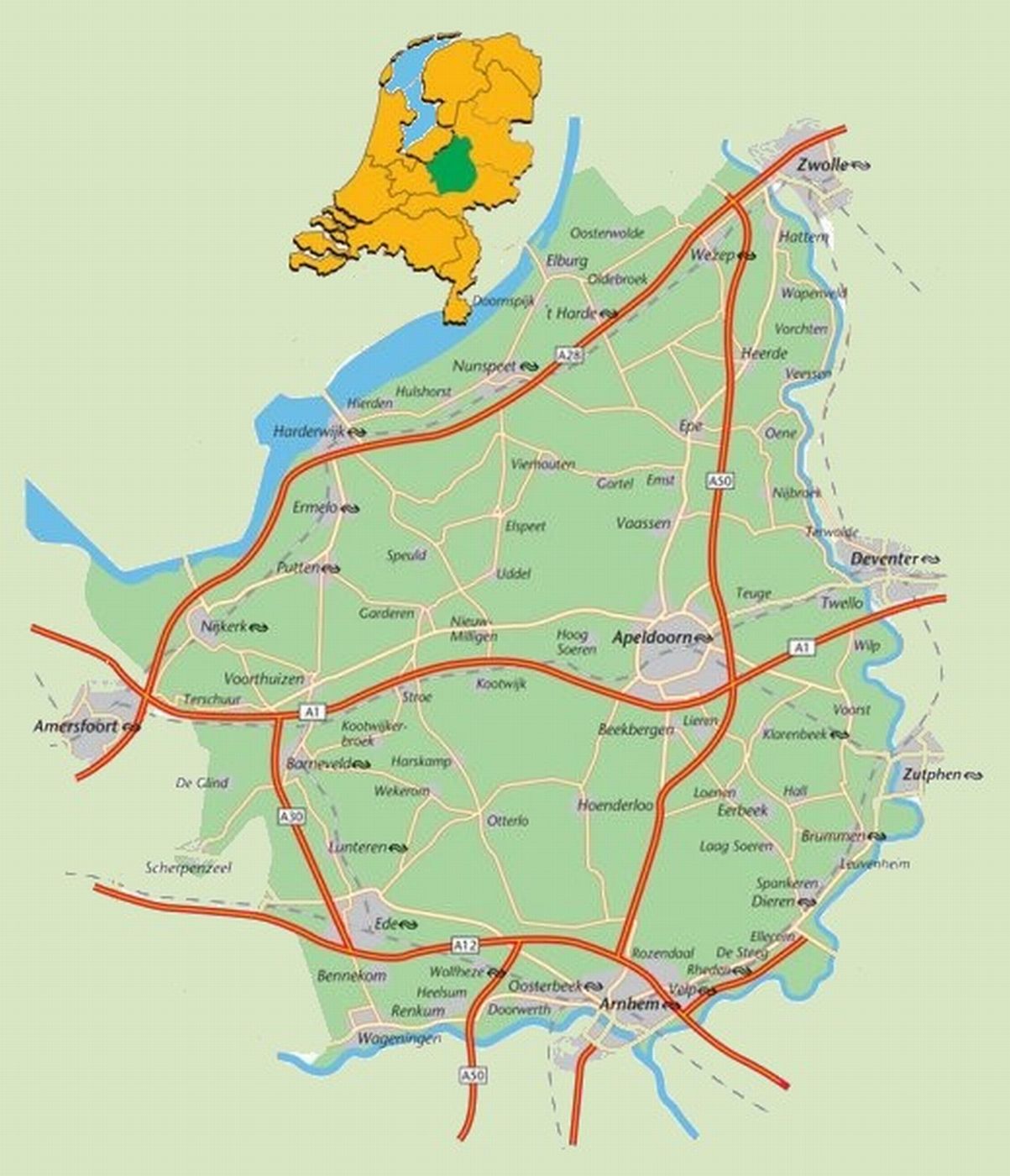
The area defined as ‘the Veluwe’ lies in the province of Gelderland, the Netherlands, West of the river IJssel and North of the river Rhine. The region hosts the largest connected nature area of the country: around 91.947 ha are part of the Natura 2000 area. The natural landscape consists of a mix of forests, heathlands, sand drifts, lakes, and moorlands. The Veluwe was settled a long time ago, and the area is now densely populated (van der Zouwen, 2006). Traces of burial mounds and agricultural fields are indicators of former human settlements. During prehistoric and medieval times, extraction of iron and timber took place on the Veluwe. After the start of the 19th century, large scale deforestation occurred, with several consequences for the nature and the landscape of the area. Human colonization increased rapidly in the 20th century. This resulted in increased infrastructure, intensified agriculture, and increased water extraction, with consequences for the groundwater levels and biodiversity (Jongmans et al., 2012; Schaminée and Jansen, 2009). As it stands, the present nature regions are surrounded by agriculture, settlements, or infrastructure. This means there is a lot of interaction between humans and nature. For example, the National Park De Hoge Veluwe and the Kröller-Müller museum and surrounding attractions get more than half a million visitors per year (ZKA Consultants & Planners, 2013). The unique circumstances of highly populated areas combined with nature provide great opportunities for research on the varied interactions between nature and humans to be carried out. A great array of different ecological and socio-economic research has already been carried out in the Veluwe, which makes it a good quality LTSER platform right from the start. One criteria for a LTSER platform is the definition of relevant themes or research questions (ILTER, 2014).