
naturalness
Type of resources
Available actions
Topics
Keywords
Contact for the resource
Provided by
Years
Formats
Representation types
-
The restoration sites are located in abandoned arable land and clear-cut tree plantations mostly, but not entirely within LTER Fulophaza that is a high diversity site, both in terms of habitats and species, in the Kiskunság Sand Ridge. It uses some of the central facilities of the KISKUN LTER, such as the meteorological station and the field research station with accommodation opportunities, and a couple of long term monitoring sites and field experiments.
-
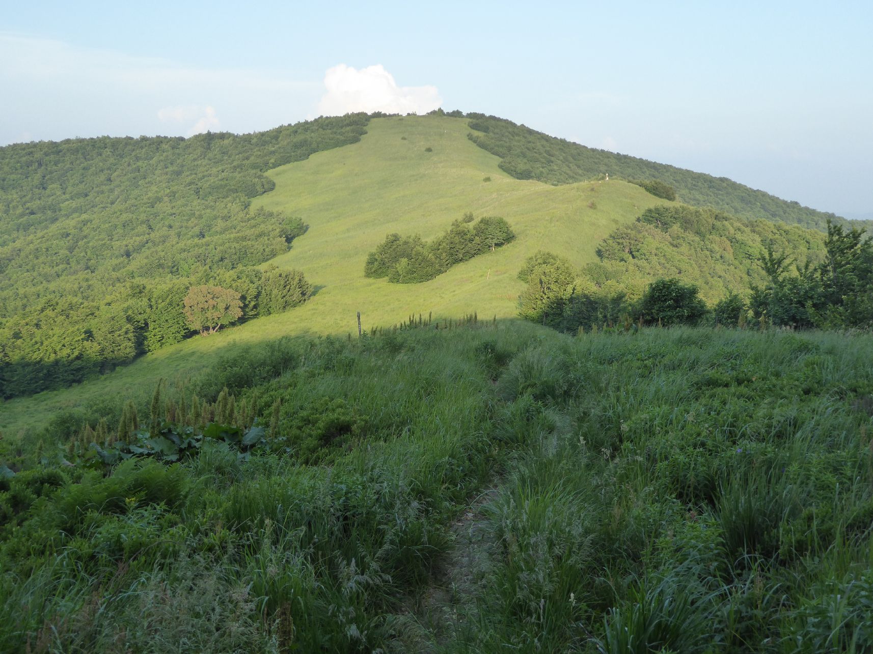
The area is located in north-east of Slovakia on the border with Poland and the Ukraine, in Bukovské vrchy mountains which are part of the Carpathian mountain range. It has a highland to upland character. The study area is in Snina district within the Prešov region and is part of the National Park of Poloniny and East Carpathians Biosphere Reserve. It belongs to ŕemore wilderness areas in Slovakia, remote from industrial centres and with restricted accessibility. In the year of 1980-1986, 7 villages were removed as a result of construction of the water reservoir Starina. There are currently 10 villages within the study area.
-
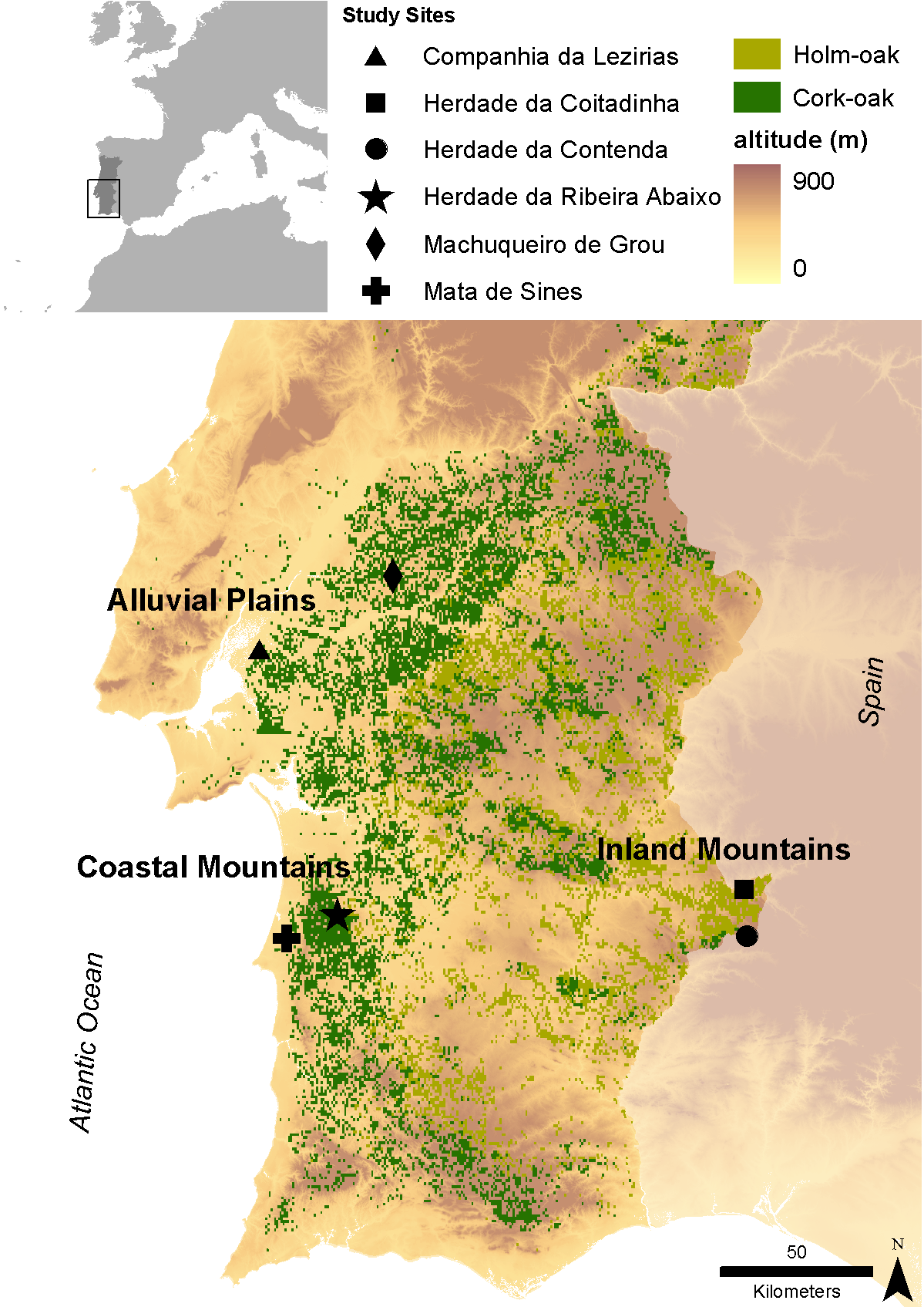
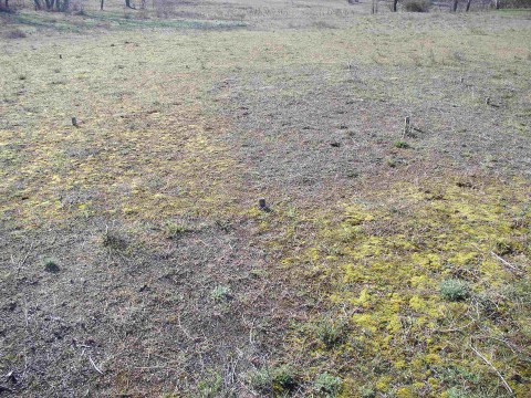
Cork (Quercus suber) and holm (Quercus ilex L.) oaks were probably the dominant oak species in the Iberian Peninsula south of the Cantabrian/ Pyrenean mountains since the end of the last glaciation. Despite a large range overlap between both species, cork-oak was confined to the mild western regions of the Peninsula (thereby encompassing most of the Portuguese territory), occurring only in small patches along the coast further east, while holm oak was and still is the dominant oak over most of the Centre and East of the Peninsula, subjected to a harsher continental climate. Millennia of land clearing driven by human population growth and need for agricultural land lead to the almost complete elimination of cork oaks from the Centre and North of Portugal (and Galicia), where the mountainous relief and relatively high precipitation allowed for the establishment of numerous small farms. However, in the dry lowlands south of river Tajus, the impossibility of land irrigation and the poor soil quality were two of the main drivers that contributed to the establishment of the montado agro-sylvo-pastoral system. Today, roughly 90% of Portuguese cork-oak montados are found in this region (Alentejo) and represent the largest cork-oak montado area in the world. Here, the species basically occurs on two soil types – the skeletal schist soils that result from the weathering of the Palaeozoic hercinic core of the Peninsula and the alluvial plains of the Tajus and Sado rivers, which well drained sandy soils, correspond to an ecological optimum for this species. When compared with holm oaks, cork-oaks are relatively fragile, being unable to withstand severe droughts and continental climates (inland) or calcareous soils (in the Algarve). Therefore, as one proceeds south of the Tajus, the flatlands become divided between the coastal cork-oak montados and the inland holm oak montados. In spite of their physiological differences, holm oak forests were also cleared with different extents in different areas and the same pattern emerged, with most of the Portuguese holm oak montados occurring nowadays in inland Alentejo. These montados are in fact the western limit of the Spanish dehesas; their aggregated area constitutes the largest extension of montado ecosystem in the world. Data series of Alentejo province concerning the main key drivers of change and available to the research team are: Climate (historical time series since 1930 and every thirty years onwards, plus climatic models); Satellite images (1984, 1990, 1994 and 2004 – several series along the year, 2008); Aerial Photographies (1960/70, 1974/80, 1995, 2005); Forestry inventories (60’s/70’s, 1995, 2005). In each of the three core research and monitoring stations encompassing the variety of edapho-climatic conditions to which most montados are subjected, and that are proposed in the current proposal (see research plan), two study case sites were selected to illustrate contrasting human pressures. More relevance was given to cork oak montados, due to the importance of cork industry for the national PIB, as well as to the global importance of the Portuguese territory for this ecosystem. Two main and one secondary contrasts related to human pressures will be monitored: i) vulnerability to dryness (also related to land use), monitored at Machuqueira do Grou and Companhia das Lezírias (less vulnerable) vs Ribeira Abaixo and Sines (more vulnerable); and ii) vulnerability to grazing intensification, monitored at Companhia das Lezírias (more vulnerable) vs Machuqueira do Grou and Ribeira Abaixo (less vulnerable). The same vulnerability to grazing intensification will be monitored at the two holm oak site, where the main contrast is the type of grazer: cattle (Coitadinha) vs game species (Contenda). Finally, the additional contrast refers to the proximity to pollution sources that can be explored by the comparison between Companhia das Lezírias and Sines (more exposed) vs. all other study sites (less exposed).
-
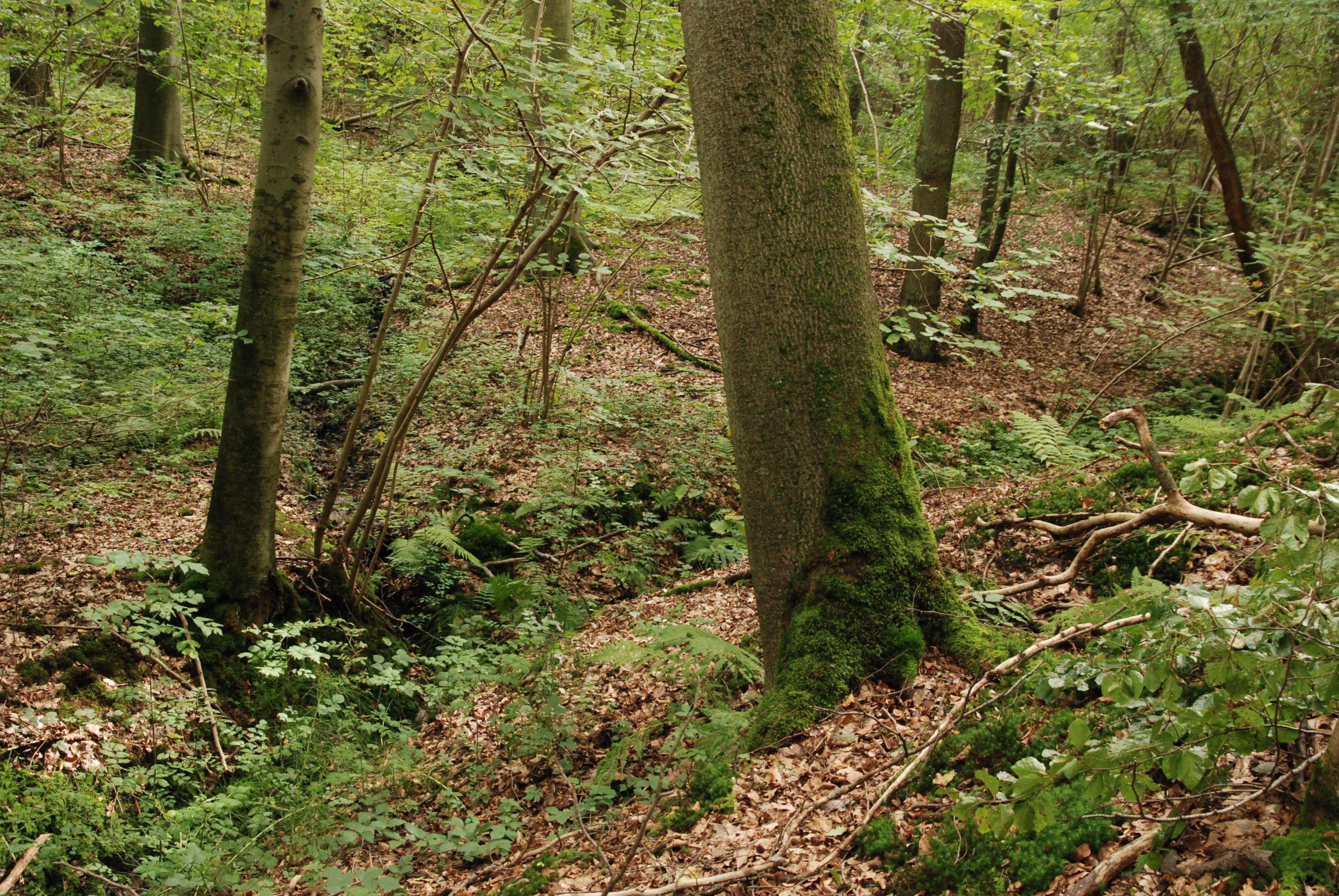
The Nature Reserve Rode Forest and Laan Valley is a diverse site, covering a small rivulet valley (river Laan) with grasslands and marches, and the adjacent plateau forest of Rodebos. The forest on the plateau consists of acidophylous oak-beech forests. The slope forest habitats are influenced by an aquifer that feeds slope sources. Hydrochemically, the water of this aquifer can be characterized as acid and nutrient poor. The slope displays an acid tolerant vegetation with Sphagnum as well as a more neutrophilic Querceto-Carpinetum. Lower on the slope, also base-rich sources are present, resulting in neutrophylous spring and alluvial forest. The research in this LTER-site focuses primarely on ecohydrology of this forest ecosystem, and forest dynamics in two sampling areas (resp. 1ha and 0.5 ha) within the unmanaged strict reserve area in the northern part of the reserve (23 ha). consists of a valley part, a slope part and a plateau part.
-
Děvín is a considerable site of forest and non-forest ecosystems of the warmest part of the Czech Republic. Due to heterogeneous geomorphology, it comprises a range of habitat conditions and vegetation types. Forests cover about 3/4 of the area and they are formed mainly by oak-hornbeam wood, thermophilous oak wood, and ravine wood. The forests of Děvín were strictly managed as a coppice in the past. The oldest records are available from the late 14th century. The cutting period was as short as 7 years in the Middle Age and then gradually increased to 15–25 years during the 17th–19th centuries. A reason of the coppice management was the need of firewood. This probably led to a dominance of the large-leaved lime (Tilia platyphyllos), which stands regular cutting and quickly re-sprouts. The traditional management was abandoned in the 20th century, a nature reserve was declared in 1946, and later even a game preserve was established; the latter, however, was cancelled in the 1990s. The forest has been gradually transformed to a high forest and its age has increased to the today’s average of 70, sometimes over 120 years. The dramatic change in the management has caused a large change in ecological conditions. Light woods, hosting many species occurring in light- and warm-demanding conditions, have shifted to mesic, i.e. moister and nutrient-richer forests than ever before. A marked decrease in diversity in forest understorey has been a consequence. This trend was revealed by a comparison of nearly 200 vegetation plots from 1953–1964 with their 2002–2003 replicates, i.e. after 40 to 50 years. A similar comparison is available for soils with 34 repeated pedological profiles. The aim of the present management is to restore coppices with partial preservation of some stands in a non-intervention regime. A set of 80 permanent plots has been established in 2008 in order to monitor the consequent environmental and vegetation changes, as well as diversity of invertebrates, with a monitoring period of 5–10 years.
-
KISKUN LTER was established in 1995, together with the Hungarian LTER Network. Its study area is the Kiskunság Sand Ridge and its periphery, 14000 km2 altogether, 17% of the area of Hungary. The primarily sandy area is extremely heterogeneous. It consists of arable lands, planted forests, meadows, abandoned fields, settlements, alkaline lakes, wetlands, and species rich remnants of forest steppe. It is also very varying in time: ploughing and setting aside, extensive plantation of alien trees, drainage, wild fires, biological invasions, and fast demographic movements have been happening in the last 100 years, and beyond all those, the area is particularly sensitive to the climate change.
-
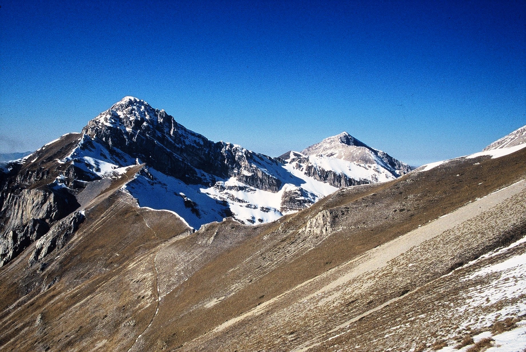
The site consists of high elevation vegetation in central Mediterranean basin, along the Apennines mountain range: xerophitic primary grassland (Pediculari elegantis-Seslerietum tenuifoliae) and mesophitic primary grassland (Luzulo italiacae-Festucetum macratherae), with important resident and migratory bird communities. Six plots, each one 100 m2 large, grouped in two cluster-plots including each one three plots, representative of a larger area of 0,5 km2 ca., ranging from 2100 to 2300 m a.s.l. (alpic and Mediterranean high-mountain belts.
-
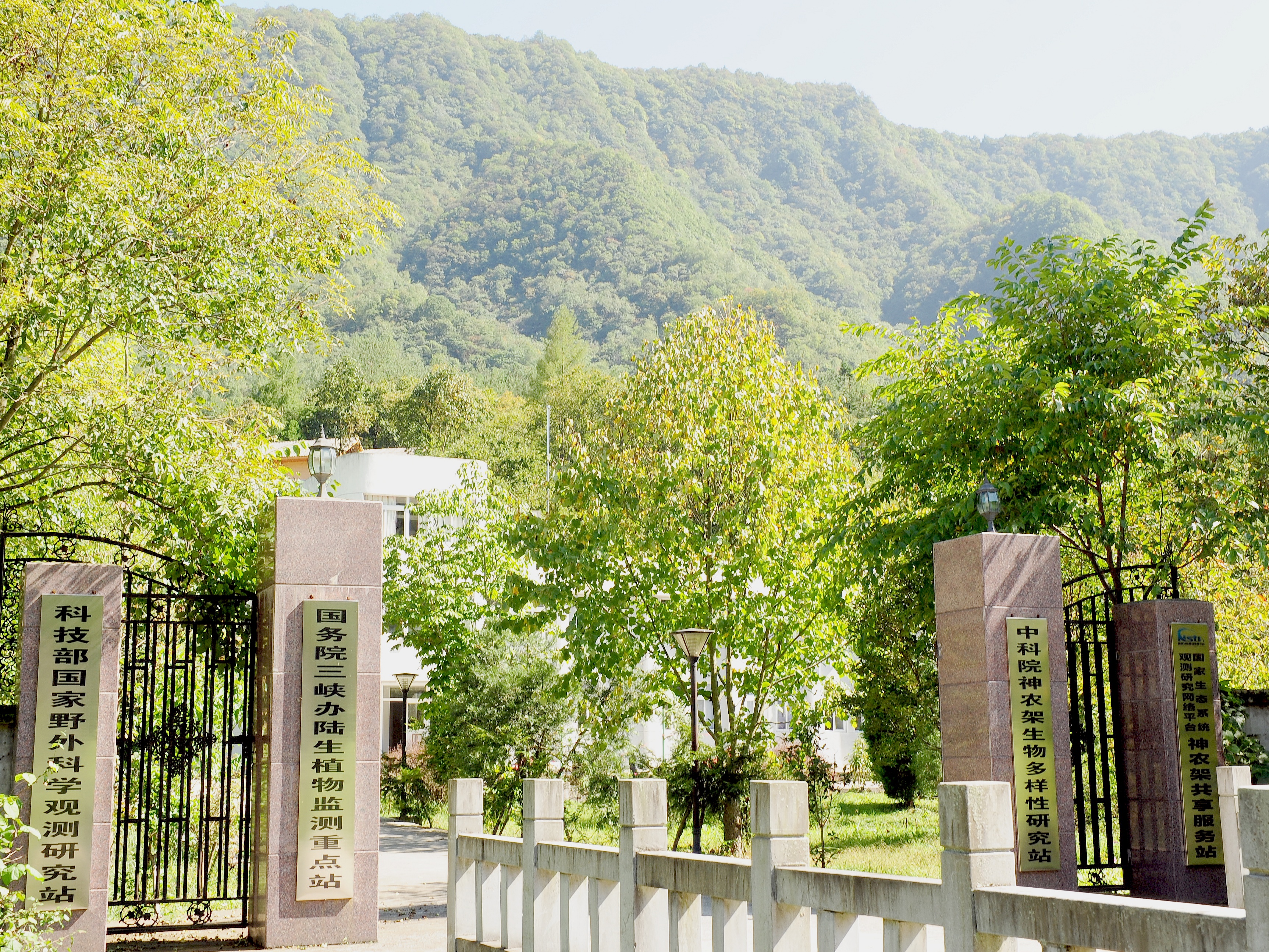
Shennongjia Station is located in Xingshan County, Hubei Province, China. It is located in the southern slope of Mount Shennongjia. The altitude is 1290m above sea level. The typical forest types are the northern subtropical mixed evergreen and deciduous broadleaved forest. Shennongjia Station was established in 1994, it became a station of National Field Research Station network running by the Ministry of Science and Technology of the People’s Republic of China in 2005, and became a member of Chinese Ecosystem Research Network (CERN), CAS in 2008.
-
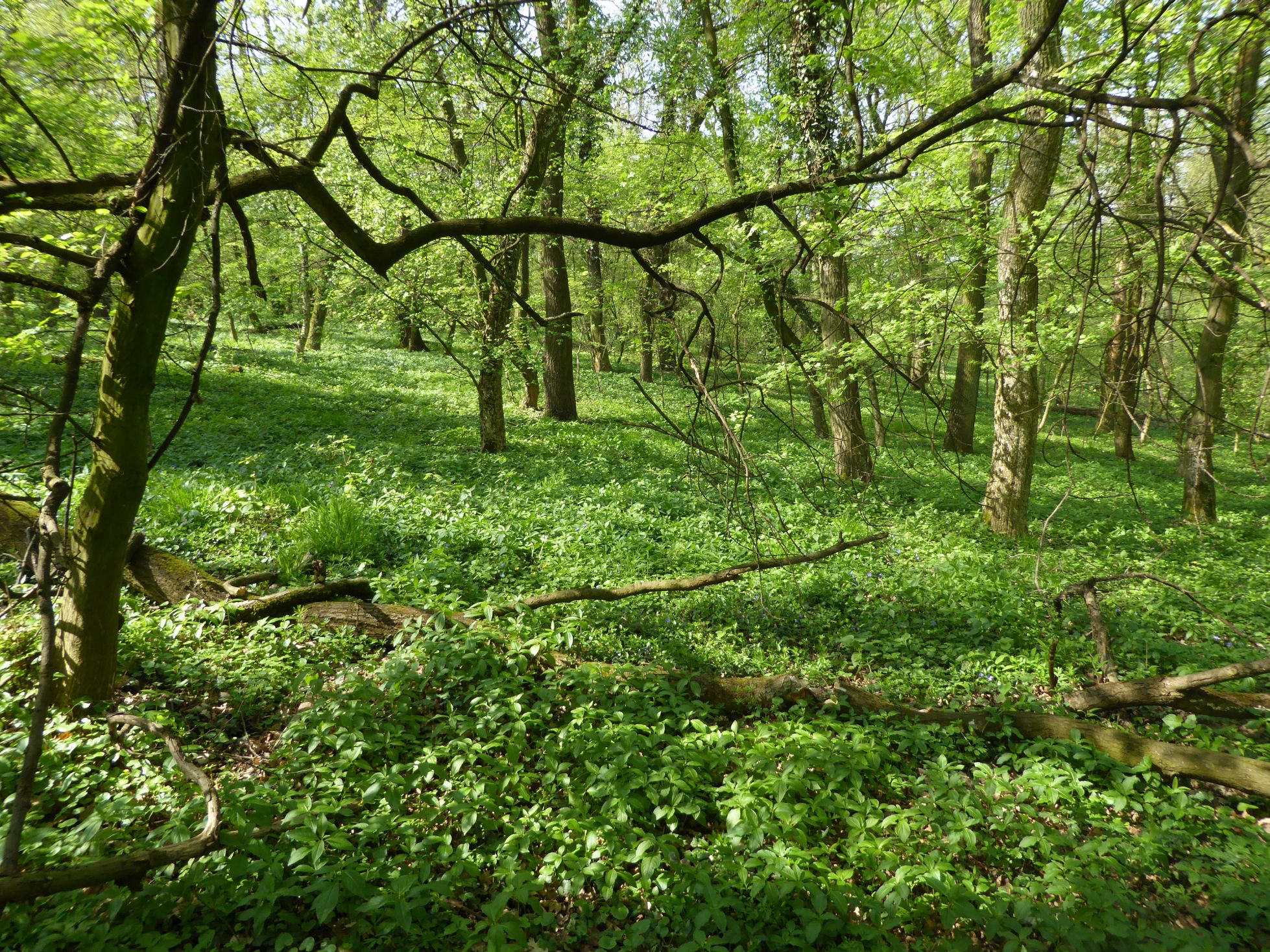
The Bab forest (66 ha) was selected as an example of a lowland deciduous broad-leaved forest on loess for ecosystem research in the International Biological programme (IBP) in 1967. More than 60 researchers performed a comprehensive ecosystem research at the site within IBP and MaB programmes in 1967-1975. This period finished by production of syntheses in micro-meteorology and micro-climate, soils, soil microbiology, ecophysiological processes of plants (photosynthesis, water relations, mineral nutrition), primary productivity, nutrient cycles, water circulation, and secondary productivity. The ecosphisiological studies continued in 1975-1980, later the research was focused to plant population biology and alien plants invasions. The ecosystem research was re-established in 2007. The inventory of shrub and trees, herb vegetation, selected animal groups allowed identification of changes during 40 years caused probably by the climate changes and anthropogenic disturbances. The differences in decomposition of selected native and invasive plant species were assessed. The biomonitoring of the air pollution was done using mosses as indicator organisms. Now the research is focused to dynamics of forest ecosystem (vegetation, selected invertebrate groups, small mammals) and impact of forestry management (clear-cuts) to structure and dynamics of forest ecosystem. The multisite trampling experiment (ALTER-Net) and tea decomposition experiment (ILTER) were/are performed at the site.
-
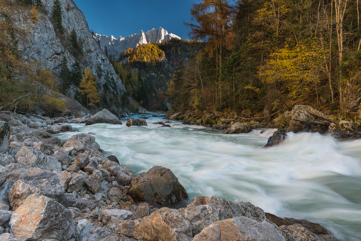
The Gesäuse Nationalpark was founded in 2002 and is located in Styria, in the Center of Austria. It is Austrias third largest National Park with an area of about 120 km² . The Gesäuse is characterized by a mountainous landscape which is cut by the river "Enns". Most parts of the Nationalpark are coverd by mountain forests. Other important habitats are alpine grasland, rock and scree habitats and pastures. The Enns with its alluvial forests and its small islands as well as the numerous freshwater springs represent very special habitats within the mountain ranges. Because of the great range of altitude differences within a small area in the Gesäuse National Park, there is a dense concentration of extremely diverse habitats and, consequently, of species of animals and plants. Furthermore the Gesäuse is known for its exeptional richness in endemic species. 200 years ago, the natural beauty of the Gesäuse region, the contrast between the river Enns and the sheer rock faces of Gesäuse mountains with their diverse habitats and species, already attracted researchers and mountaineers to this area in the heart of Austria. As early as 1958, the Gesäuse and the valley of the river Enns leading out of it were designated as the first conservation area in Styria. Persisting plans for hydroelectric power generation on the Enns eventually led to the creation of a national park. The Gesäuse NP was established on 26 October 2002 and internationally recognized in 2003 by the IUCN as Cat. II protected area (national park). Large areas of the national park are also part of the Natura 2000 network in the sense of the EU Fauna Flora Habitat and Birds Directives. With 11 000 ha, it is the third-largest National park in Austria. It is situated in the Ennstal Alps in the province of Styria, which are part of the Northern Limestone Alps and includes essentially the two mountain ranges of Buchstein and Hochtor. In the north it borders on the Eisenwurzen Nature Park and is only ten kilometres away from Kalkalpen NP in Upper Austria. Currently there are six national parks in Austria, which are recognized by the IUCN as Cat. II national parks. Covering an area of 2 382 km², they make up 2.8 % of the Austrian territory and include some of the ecologically most valuable regions. They are organized under the umbrella of Nationalparks Austria to leverage synergies and to ensure consistent presentation to the general public. The directors of the national parks coordinate and initiate joint activities in cooperation with the Federal Ministry of Agriculture, Forestry, Environment and Water Management and the respective federal provinces. National parks across the world aim to protect areas of outstanding natural beauty, rich diversity of plants and animals, rare or endangered species and special natural phenomena. The label is designed to prevent technical development and economic exploitation and to safeguard natural dynamics. Humans are invited to participate as quiet observers. As internationally recognized IUCN Cat.II protected areas, all national parks in Austria are committed to four basic tasks: -- conservation and protection of biodiversity; -- recreation and nature experience; -- education about nature and the environment; -- research. Research in the Gesäuse NP concentrates in implementing its core tasks of protecting habitats and species. Most of it is therefore research into applied conservation, with basic research taking second place. Applied conservation research includes documenting habitats and species in the national park, basic research includes long-term research and monitoring of changes in the natural landscape. In the Gesäuse NP the focus is on dynamic habitats like avalanche chutes, windthrow areas, scree gullies or gravel banks in the river. Initial results underline the special significance of these ecosystems shaped by extreme weather for biodiversity in the national park. In terms of long-term research, over the last seven years the Gesäuse NP has established a network of permanent monitoring sites in diverse habitats (springs, running waters, forest, high mountain pastures, peaks, etc.). In addition to monitoring the vegetation in these sites, the focus is on identifying various groups of animals as indicator species. These special climate change monitoring projects in the national park include studies of flora and fauna at peaks (GLORIA) and the creation of a network of metereological measuring stations that represents all altitudinal zones and expositions. A project modelling climate and hydrological scenarios is headed by the University of Graz and includes a dozen partners. The national park works closely with universities on numerous projects. Many theses have been written on issues of the Gesäuse. The national park offers the local infrastructure and the universities bring their special know-how to the research in the national park. All research deliverables in the national park are also available online on the dedicated research web page http://www.parcs.at/npg