
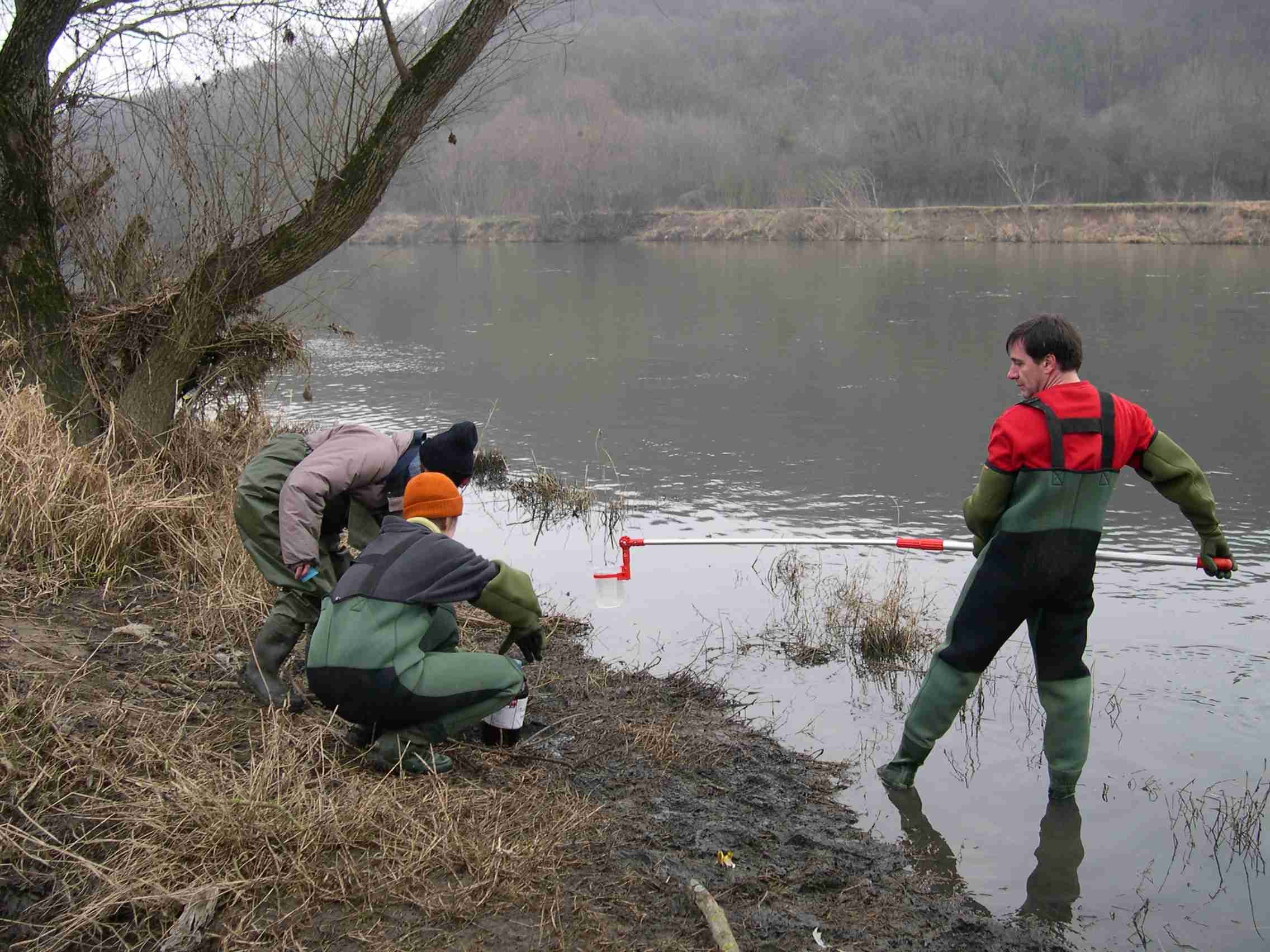
nitrate flow in drain
Type of resources
Available actions
Topics
Keywords
Contact for the resource
Provided by
Years
Formats
Representation types
-
The LTSER Zone Atelier Bassin de la Moselle belongs to LTER-France network and is located in eastern France, Lorraine / Moselle. The ZAM acquires knowledge for better controls the impact of human activities on the quality of the water resources in Lorraine County (France), in the watershed of the Moselle River.
-
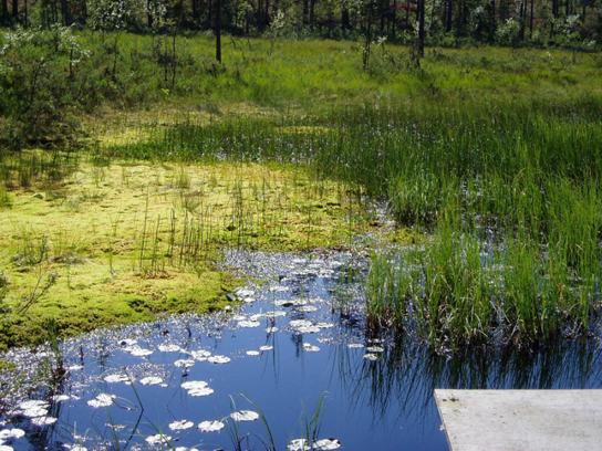
Coniferous forests and mire.
-
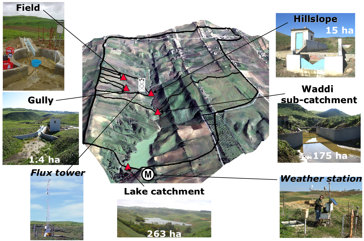
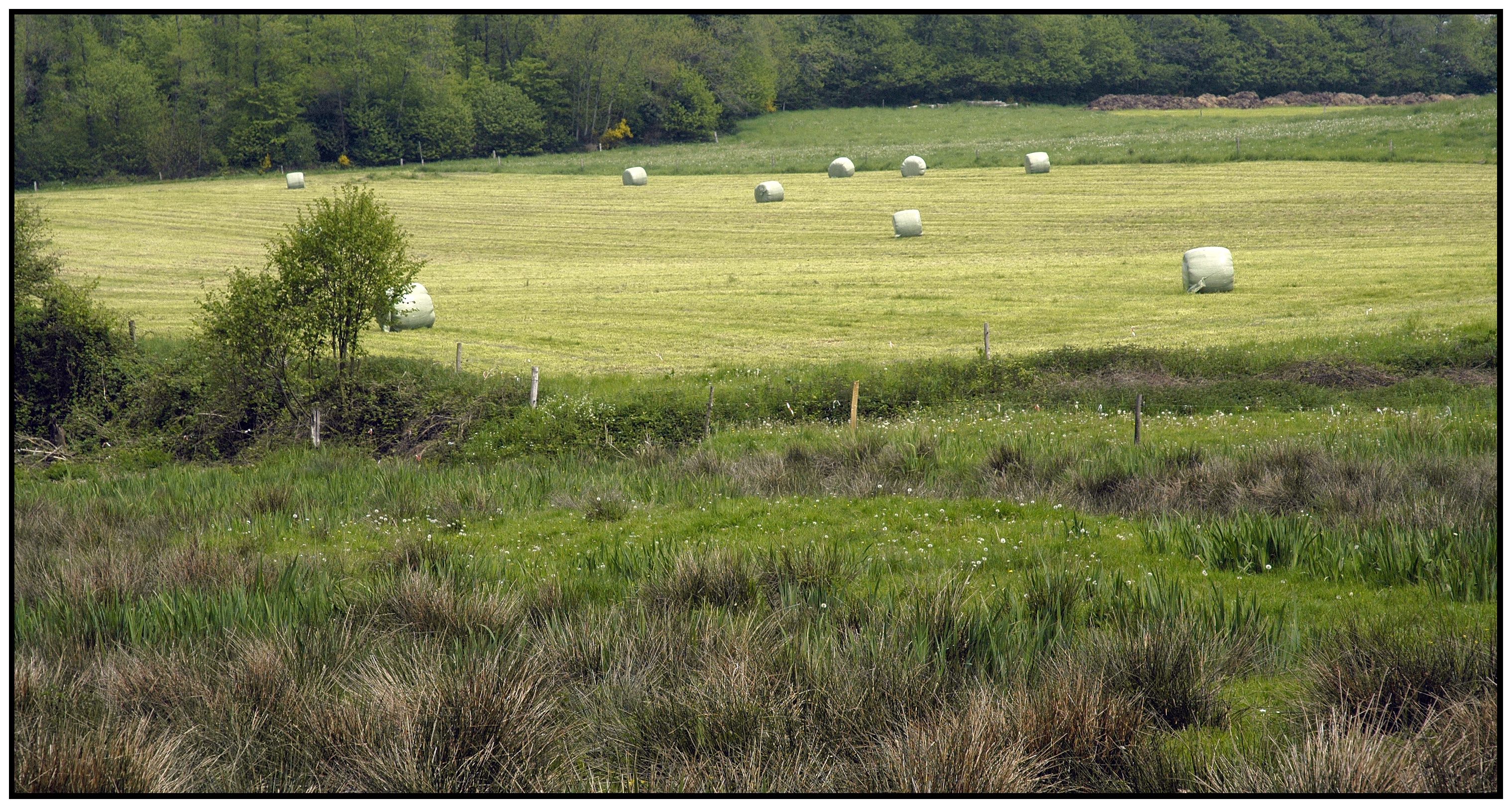
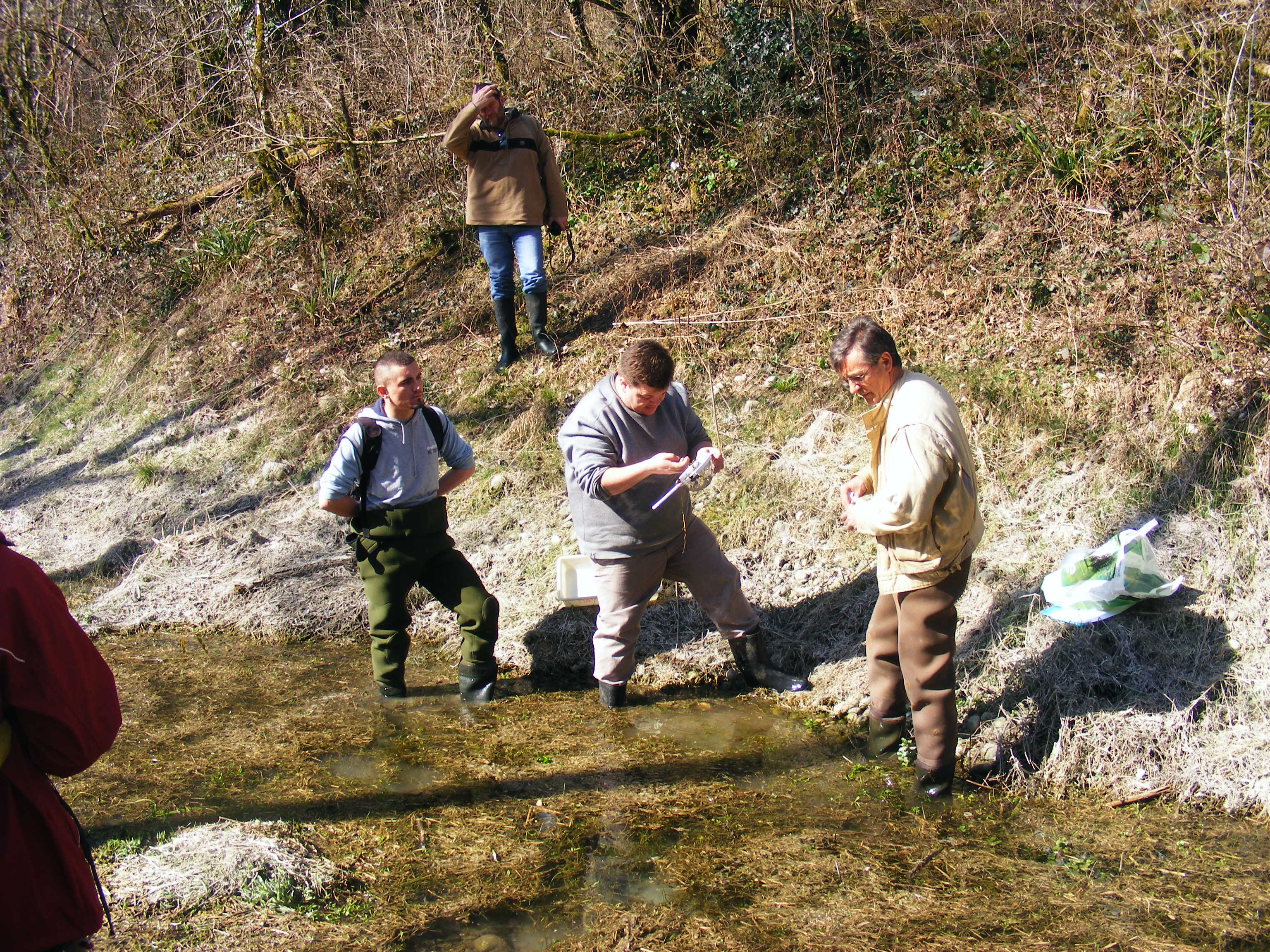
Small agricultural catchment (263 ha) in a Mediterranean environment with 20 years of data: impact of global change (climate and anthropogenic activities as agricultural practices) on water and erosion balance, fluxes and quality. Soils: Calcic Cambisols (63.5%), Regosols (25.5%), Eutric Regosols (9.6%) and Chromic Vertisols (1.4%). Main cultures: cereals and leguminous. Continuous automatic measurements at nested scales from plot to catchment outlet (surface runoff, shallow groundwaters, surface-atmosphere fluxes) and continuous monitoring of anthropogenic activities . More information available on http://www.obs-omere.org. Kamech experimental catchment belongs to the French SOERE-RBV Network.
-
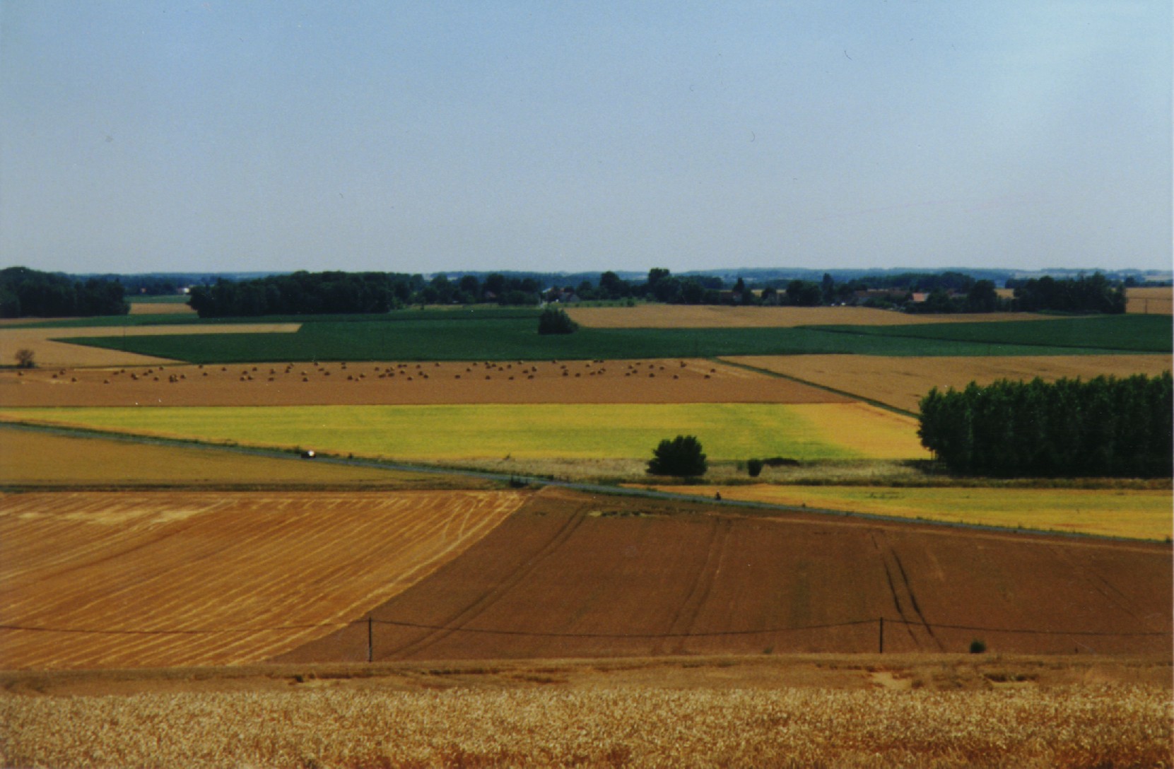
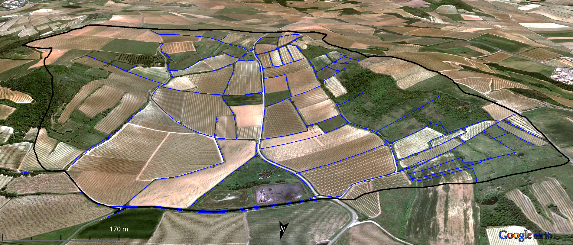
The ORACLE observatory is located 70 km East of Paris, France. Most of the area, in a sedimentary basin, is made of a relatively flat plateau (Alt. 140 m a.m.s.l.), which is incised by the Grand Morin and the Petit Morin rivers (Alt 100m). Several aquifers are associated with layered tertiary formations (Eocene and Oligocene). The Morin Rivers are affluents of the Marne River, known to have contributed to large historical floods in Paris in the 20th century. The observatory is mainly rural (76%) with small towns, villages and hamlets, the whole covering 7% of the area. Forests cover up to 20% of the area. The dominance of agricultural activity within the catchments means that diffuse pollution is regarded as the main environmental pressure. Several perennial device of environment observation are installed since 1962. This site is used for multivariable observations (water cycle, water quality, biodiversity, agricultural practices, sociology…) and multiscale observations (from the canopy to the aquifer, from one m² to 1200 km²). Temporary observations also exist, like soil property measurements, remote sensing data, depending on the specific collaborative projects between different research and operational units. These two observation approaches, the perennial and the temporary ones, are a real advantage to investigate environmental issues. The Observatory and its embedded sub-catchments allow to conceptualize the change in scale and to study sub-catchments with different behaviors.
-
The LTSER Zone Atelier Armorique belongs to LTER-France network and is located in Brittany, north-western France. The ZA Armorique conducts an interdisciplinary exploration of landscapes from urban areas to rural countryside, integrating social and environmental dynamics.
-
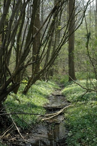
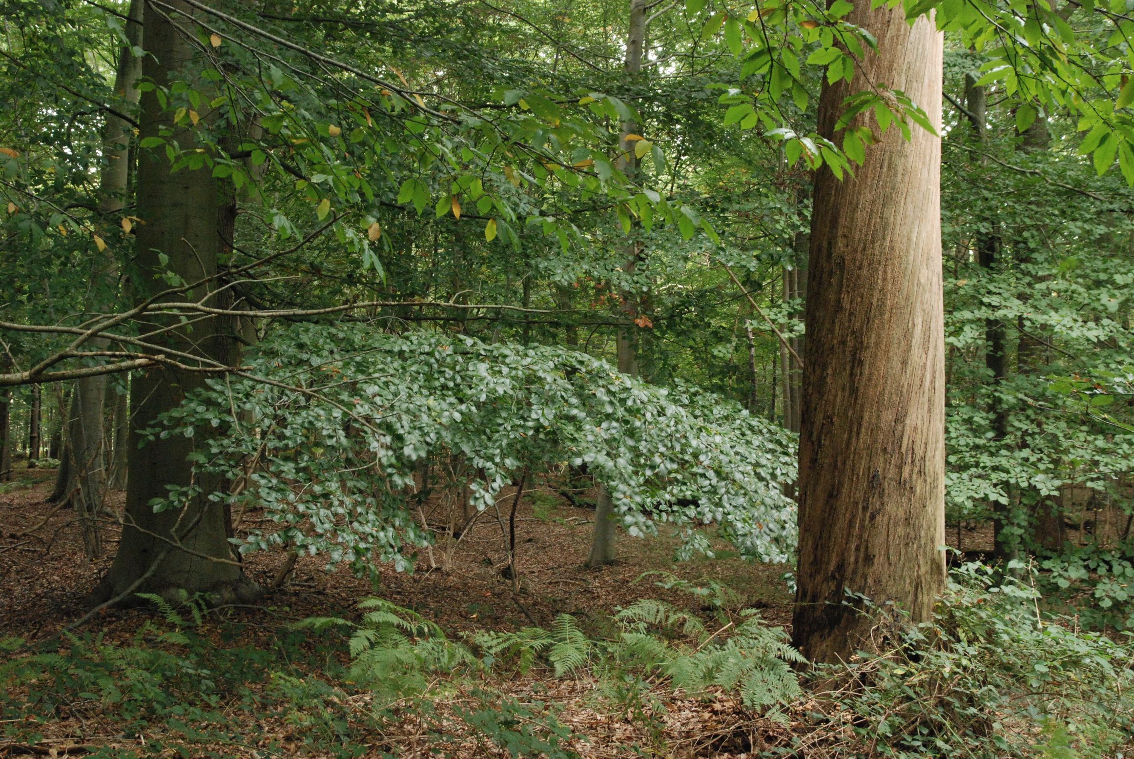
The Aelmoeseneie Forest is a 28.5 ha mixed deciduous forest in the community of Gontrode, just southeast of Ghent. The largest part of the forest is ‘ancient forest’, i.e. it is permanently forested since before 1775, while the forest is surrounded by agricultural land (mostly pastures). The soil consists of a silt loam to loam soil (Planosol), overlaying a mosaic of tertiary clayey and sandy deposits with high base saturation starting at 50 cm depth. Forest management is designed to obtain a more natural tree species composition and to conserve biodiversity. More info can be found at www.aelmoeseneiebos.ugent.be.
-
Small agricultural catchment (91 ha) in a vineyard Mediterranean environment with 20 years of data: impact of global change (climate and anthropogenic activities as agricultural practices) on water and erosion balance, fluxes and quality. Soils: calcisoils and cambisoils. Bedrock: Marine and coastal miocene deposits. Continuous automatic measurements at nested scales from plot to catchment outlet (surface runoff, shallow groundwaters, surface-atmosphere fluxes) and continuous monitoring of anthropogenic activities . More information available on http://www.obs-omere.org. Roujan experimental catchment belongs to the French SOERE-RBV Network.
-
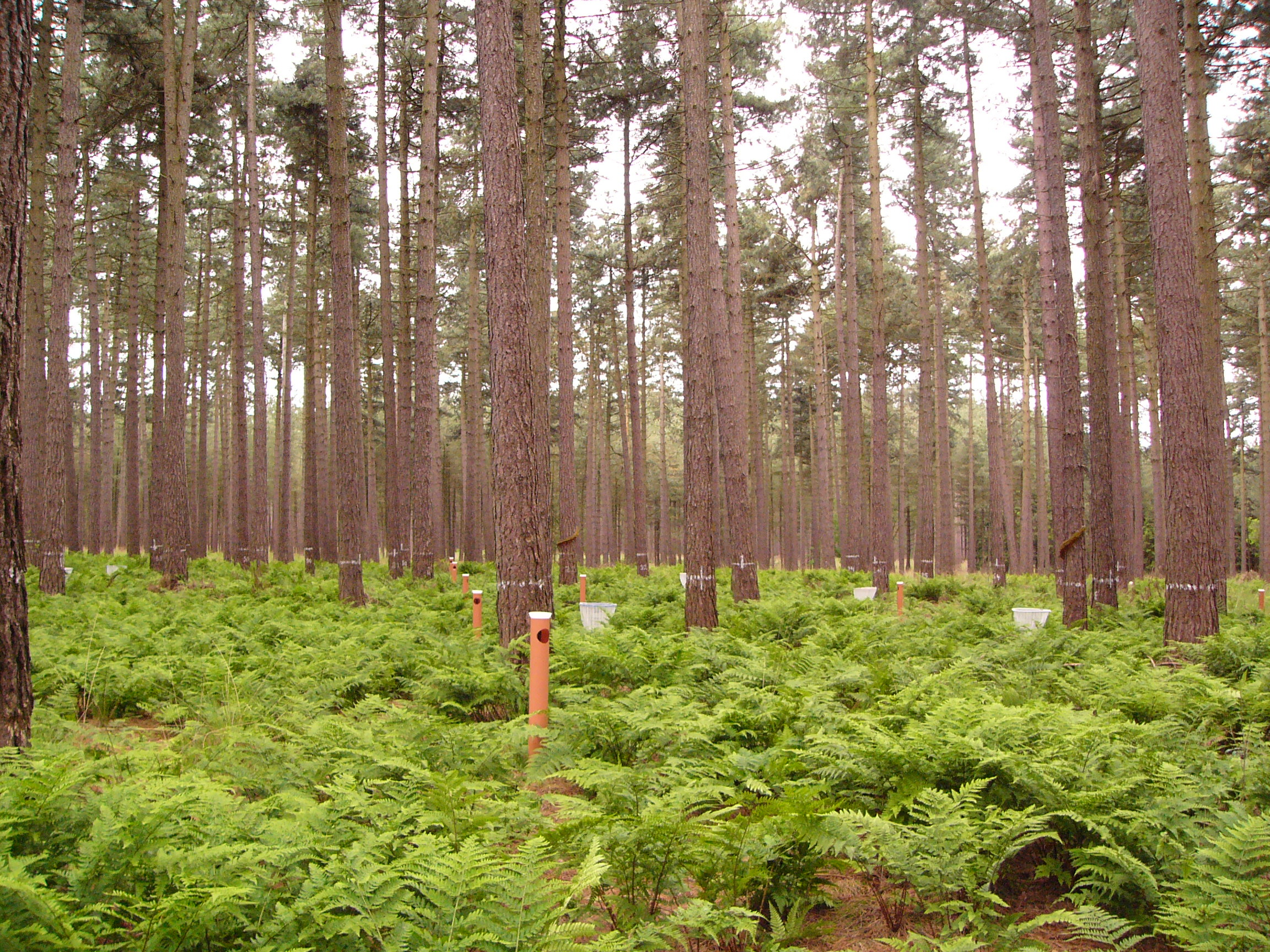
This LTER-site corresponds with a 0.25 ha intensive forest monitoring plot (ICP Forests Level II) including a 0.25 ha buffer zone. The site is located in a homogeneous stand of Corsican pine (Pinus nigra ssp. laricio var. Corsicana Loud.) planted in 1930 on former heathland and is part of Gewestbos Ravels, a landscape (about 1000 ha) with deciduous and coniferous forests, heathland, bogs and pastures in the northern part of the Campine ecoregion of Flanders. The terrain is gently sloping (1-2 %) and the soil is a well-drained sandy soil (Endogleyic Folic Brunic Albic Arenosol (Dystric)). Ground vegetation is dominated by ferns (Dryopteris dilatata and D. carthusiana) and Vaccinium myrtillus. After a storm in February 2007 felled several trees an understorey of Betula pubescens started to develop. Intensive monitoring was started in 1987 with the main objective to study the effects of air pollution on biogeochemical cycling and forest performance (growth, vitality). This yielded a number of long-term data series including on atmospheric deposition, air quality, soil and soil solution chemistry, tree mineral nutrition, ground vegetation and growth. Monitoring will be continued in the future as a statutory task of INBO.
-
The LTER-site of Wijnendale Forest is a 90 ha scientific zone located in a larger mixed atlantic beech-oak-woodland (300 ha), in the North-West of Belgium, 20 km south of Bruges. The site is located on moderately wet to dry sandy soils. The site is an ancient woodland that used to be managed as coppice with standards. Over the last 100 years it was gradually transformed to a mixed high forest, mainly of oak and beech. The site contains - an ICP Forests Level II plot (0.25 ha), in which effects of air pollution on the forest ecosystem are monitored, according to standard protocols. - a strict forest reserve of 65 ha: here, natural dynamics of forest structure and ground vegetation are monitored, and its effects on biological diversity. - a 25 ha buffer zone, containing both forest and open grassland (extensively managed for nature conservation), where 'open field' measurements are performed. The sampling network in the strict reserve includes >100 sampling plots (0.1 ha) combined with a 1 ha core area. In these plots, full dendrometric surveys (tree position, species, DBH, height, ...) and ground vegetation relevees are performed every 10 years. Additionally, standardised sampling of saproxylic beetles, mosses and fungi were performed and high-resolution air-borne LIDAR and hyperspectral data were recorded in 2012-2014. Main aims for the future are the continuation of the observational networks to provide longer robust time-series that allow more thorough analysis and investigation.
-
The LTSER platform Zone Atelier Bassin du Rhône belongs to LTER-France network and is located in south eastern France, ranging from the Alp mountains to the Camargue delta, in the mediterannean sea. The LTSER focus on aquatic continental ecosystems (lakes, rivers and wetlands) from alpin to mediterannean climats. The ZABR aims at elucidating the relationship between a large river, the Rhône river, its channel and associated ecosystems and the societies established in its landscape, using a multidisciplinary approach. Research topics include physical and chimical characteristics, ecosystem dynamics, sociological studies. Long term changes in ecological processing and pollution are taken into account using paleoecological studies. Perception of the natural and anthropised environment are considered through geographical and sociological studies.