
nitrogen availability
Type of resources
Available actions
Topics
Keywords
Contact for the resource
Provided by
Years
Formats
Representation types
-
The Morris Kahn Marine Research Station was established in order to provide baseline data and understanding of the marine ecological system in the Mediterranean Sea of Israeli coastal waters. The Charney School of Marine Sciences at the University of Haifa recently established a long-term ecological research station focusing on the eastern Mediterranean basin located in Kibbutz Sdot Yam, 44 km south of Haifa, near Caesarea. The station is called the Morris Kahn Marine Research Station and focuses on five main research topics; · Top Predators · Sediments · Water composition (Biogeochemistry) · Rocky Bottoms · Fish Disease (pathogens) The Israeli coastal area and the eastern Mediterranean Sea is experiencing accelerated development and infrastructure projects along the coastline, and a massive exploitation of marine resources never experienced in our region and nation. Coupled with the effects of global climate change and local polluting factors, life in the shallow and deep sea are changing rapidly. The Morris Kahn Marine Research Station is responsible for collecting biological and ecological data for long term research that will provide insight for understanding processes and predicting the effects of climate change and development on the environment. Such data will allow for science-based decisions that will greatly influence the interaction nature of future generations with the sea and the marine environment. This issue is particularly important given the fact that an majority of the water consumed in Israel is produced through desalinization of sea water, the main energy supply is based off of marine gas fields, aquaculture is gaining momentum as development allows for the cultivation of fish for human consumption in marine farms, and national projects referring to the sea as “developable land” that can be dried and made into artificial islands for various infrastructures. In order to accompany such a momentum in development without the collapse of the ecosystem and destruction of the sea as a natural resource, there is a need to provide reliable and in depth understanding as to how the system works. To accomplish these goals, the station employs top of the line researchers specializing in the Mediterranean as well as collaborate with other academic and research centres in Israel, while providing the best equipment for research and analysis of data collected from the sea including; · Rosetta collecting water samples from different depths · CTD device for measuring physical data of water · Advanced underwater photography and documentation equipment · Closed and controlled water system for aquaculture research · Device for detecting and quantifying nutrients in the water (Seal AA3). · Robot for measuring isotopes in samples (GC-IRMS-MS) · Confocal microscopy · Membrane mass spectrometer · Servers for database backup and maintenance · AAUS diving club performing scientific technical dives · Closed dive systems to allow deep, long, and safe dives · Boat used as a platform for diving and marine monitoring on the continental shelf · Laboratories for dissection · Work rooms for student and guest researchers · Meeting/conference rooms · AUV and ROV (Marine technologies lab) · THEMO buoy for deep sea research · Drones and other aerial devices · Website for sharing information as well as providing accessible information for the general public
-

The BLE LTER program (https://ble.lternet.edu/) focuses on productivity, trophic relationships, and biogeochemical cycling in the network of lagoons that span Alaska’s northernmost coastline. BLE is examining factors that affect the stability and resilience of microbial and metazoan food webs, including drivers and forms of primary production, in these highly dynamic ecosystems.
-
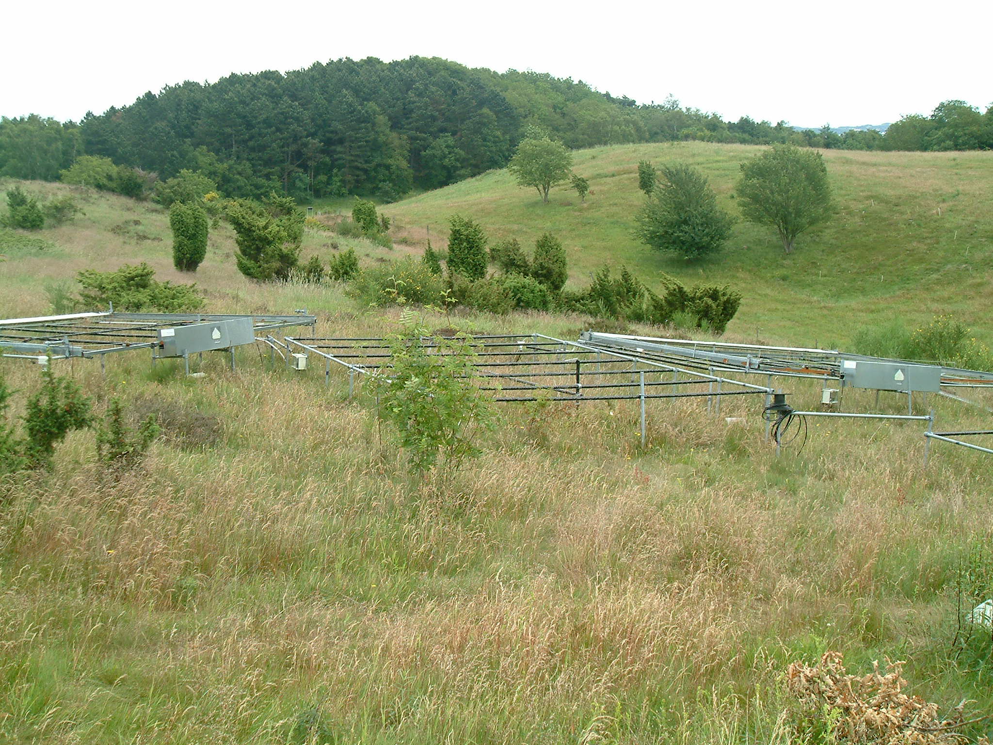
The site is located next to Wettingen in the canton of Aargau, within a natural, mixed forest stand which mainly consists of 150 year-old beech (Fagus sylvatica) and 120-170 year-old spruce (Picea abies) trees. Among others, the site is equipped with two meteorological measurement stations; one is located within the forest stand, the second is co-located in the nearby open-field, allowing to measure the forest stand effect on micro-climate. The following parameters are being measured since 2013: Soil solution chemistry (lysimeters), TREENET, atmospheric deposition (throughfall and bulk deposition), circular vegetation plots, crown condition assessment, diameter and height measurements, foliar analyses, leaf area index (LAI), litterfall, manual circumference band measurements, Ozone visible injury assessment, permanent vegetation quadrats, phenological observations, sapflow measurements, soil matrix chemistry, tree core sampling, automated point dendrometer measurements, automatic circumference band measurements.
-
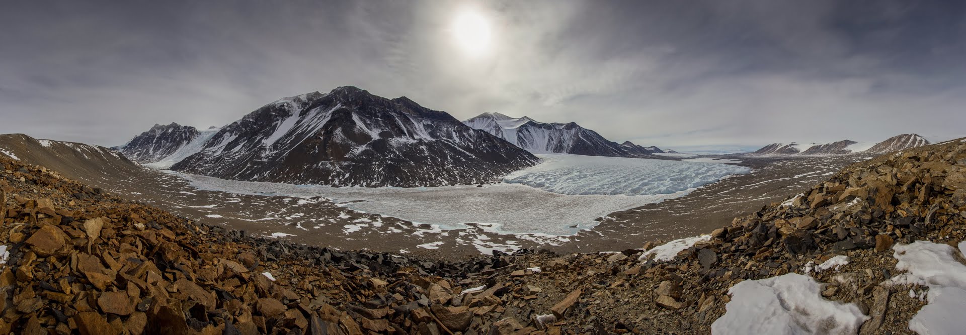
The McMurdo Dry Valleys (MDVs) (78°S, 162°E) represent the largest (4500 km^2) ice-free area on the Antarctic continent. The MDV landscape is a mosaic of glaciers, soil and exposed bedrock, and stream channels that connect glaciers to closed-basin, permanently ice-covered lakes on the valley floors. Mean annual air temperatures are cold (ranging from -15 to -30°C on the valley floors), and precipitation is low (~50 mm annual water equivalent as snow). Summer air temperatures typically hover around freezing and winter air temperatures are commonly < -40°C. While the water columns of the lakes are liquid and biologically active year round, glacial meltwater streams flow and soils thaw only during the austral summer. There are no vascular plants, but microbial mats are abundant in lakes and streams. Mat organisms are transported by wind onto glacier and lake ice surfaces where they actively metabolize in liquid water pockets (cryoconites) that form during the summer months. In the streams, which desiccate for ~10 months each year, cyanobacterial mats host extensive diatom and soil invertebrate communities. Lakes provide a habitat for diverse phototrophic and heterotrophic plankton communities that are adapted to annual light-dark cycles and temperatures near 0°C. Soils are inhabited by nematodes, rotifers, and tardigrades, all of which are metabolically active during summer. The McMurdo Dry Valleys LTER (MCM) began studying this cold desert ecosystem in 1993 and showed that its biocomplexity is inextricably linked to past and present climate drivers. In the fifth iteration of the MCM LTER program, we are working to determine how the MDVs respond to amplified landscape connectivity resulting from contemporary climate variation.
-
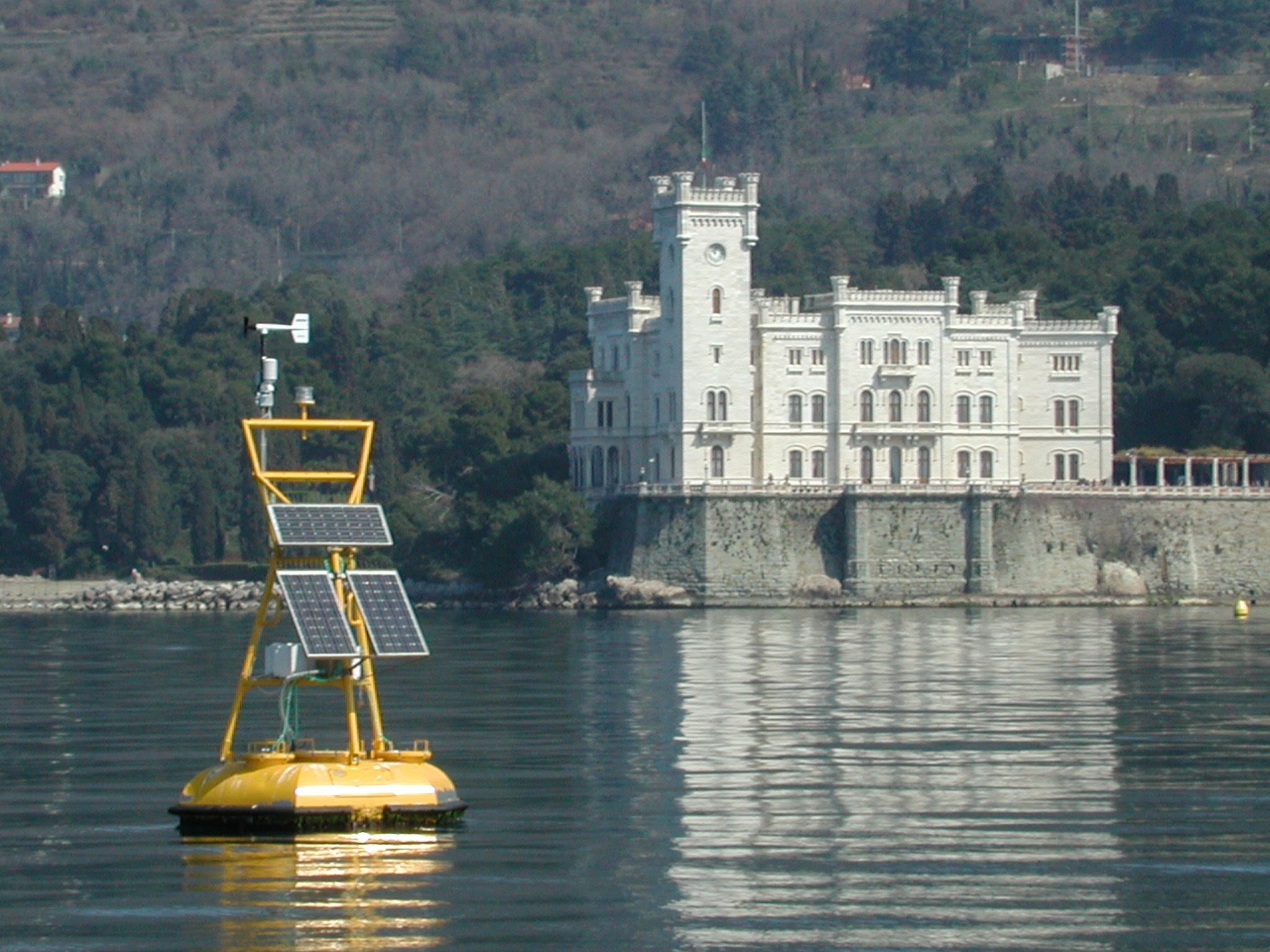
The coastal marine observatory site Gulf of Trieste lies within the Marine Protected Area (MPA) of Miramare and includes the biological time-series station “C1”, part of the Italian Long-Term Ecological Research (LTER) network, and the in situ continuous MAMBO meteo-oceanographic buoy. Marine Protected Areas represent one of the most effective systems for marine biodiversity preservation and management. Since 1986, the time-series station “C1” in the Gulf of Trieste (GoTTs, Gulf of Trieste Time series) represents a crucial site for marine ecological research, as it is subject to the interaction among several natural forcing (river, groundwater discharge, tides, general circulation, intense meteorological) and numerous anthropogenic activities (maritime transport, harbours of Trieste and Monfalcone, urban waste discharge, mussel- and fish-farming, fishing and recreational activities). In 1999, the ecological research site has been equipped with a meteo oceanographic buoy (MAMBO) in order to acquire continuous data on meteorological conditions at sea and on seawater physical and biogeochemical properties. Due to the high temporal dynamics of ecological processes in coastal ecosystems, continuous and real-time data of the main meteorological, physical and biogeochemical properties are fundamental for a better understanding of marine ecosystem functioning.
-

The ZA PYGAR covers the whole Garonne river basin up to the upper part of the Gironde estuary (La Reole station). Within this territory, research is structured around 4 main sites: the Pyrénées mountains, covering the upstream part of the Garonne river basin (PYRénées site), the farmland of the foothills of the Pyrénées (Vallées et Coteaux de Gascogne site), the Garonne river (Axe Fluvial Garonne site) and the basin of two tributaries of the Garonne river in the Massif Central moutains (Aveyron-Viaur site).
-
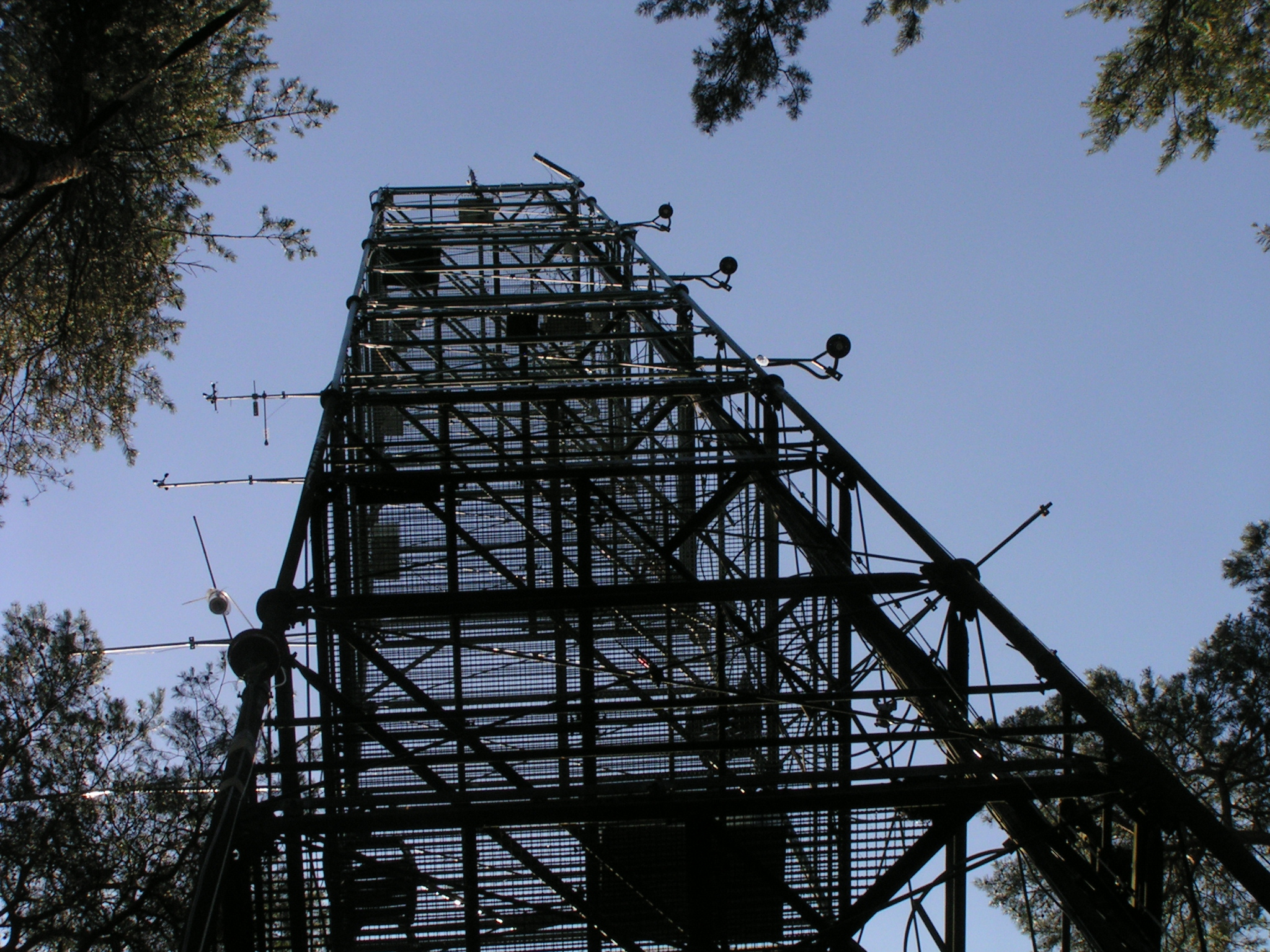
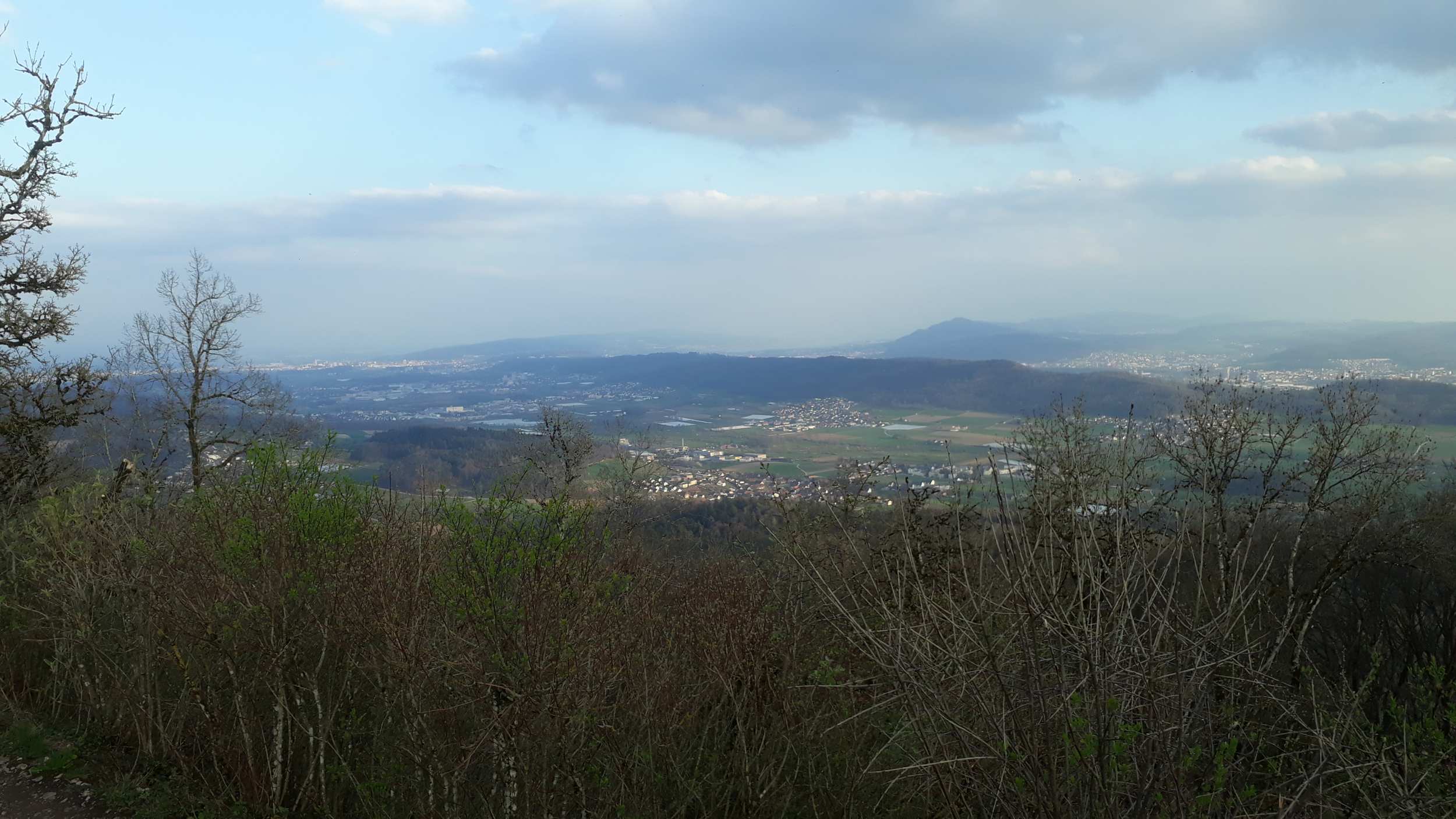
The LTER-site of Brasschaat is a 2 ha scientific zone in a first generation plantation (1929) of Scots pine (Pinus sylvestris L.) on former heathland located in a mixed coniferous/deciduous forest in the Campine plain of Flanders. The landscape is flat, with a gentle (0.3%) slope at a mean elevation of 16 m. To the South and East, the forest extends over 2 km before turning into rural, partially forested terrain. The site is equipped with a measuring tower and an intensive forest monitoring plot (ICP Forests level II). The site is also part of an ICOS monitoring site which is operated by the University of Antwerp in collaboration with the Research Institute for Nature and Forest. The air pollution characteristics at this site are typical for a suburban forest exposed to vehicle emission (NOx), which is strongly affecting the NO-NO2-O3 chemistry. The site is, additionally, located in the waste plume derived from stack emissions (SO2, NOx, black carbon) generated by the petrochemical refinery in Antwerp port. Although no important agricultural emission sources are present in close proximity to the site, ammonia levels are elevated when winds blow from the eastern wind sector (due to remote agricultural activities > 5 km). The monitoring of air pollutants will be continued with special focus on chemical and biological recovery of the forest ecosystem from historical elevated sulphur and nitrogen depositions. Also the research on the combined effects of ozone, nitrogen and climate change on forest ecosystem functioning (gross primary production) will be emphasized.
-
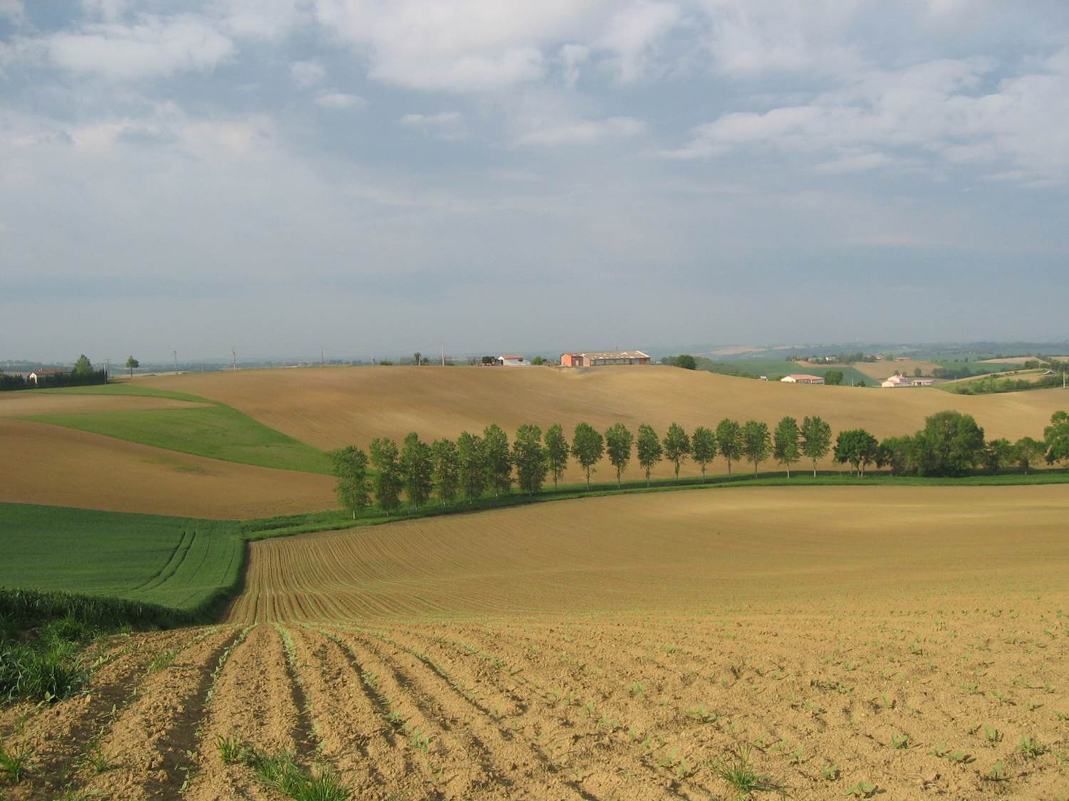
Small agricultural catchment (320 ha) with 30 years of data to study impact of climate change and agricultural practices on soil erosion, weathering rate and river fluxes. Continuous measurements with sensor: river discharge, Temperature, pH, conductivity, turbidity, dissolved oxygen, nitrate Weekly samples and high resolution sampling during storm runoff: major cations and anions, alkalinity, pH, dissolved silica, conductivity, total suspended solids, stable isotopes (13C of DIC, 2H and 18O of H2O, 15N of nitrates), heavy metals, some pesticide molecules Climatological station, rain collector for precipitation chemistry, soil solution station with lysimetric plate at different depths. Continuous measurement since 2004 of CO2, N2O, water vapor, energy exchange in the soil-vegetation-atmosphere continuum thanks to Eddycovariance and closed chamber methodologies (see OZCAR-RI Regional Spatial Observatory in the South West France contribution) Collaboration with the Aurade farmer association for fertilizer and pesticide inputs, cultivation, agricultural practices... Aurade experimental catchment and flux site are an international field site of the Critical Zone Exploration Network CZEN and of ICOS network, a field site of the French Research Infrastructure OZCAR and it is also a site of the French LTSER ZA PYGAR "Zone Atelier Pyrénées-Garonne". and a regional Platform of Research and Innovation-Midi Pyrénées.
-
Mols Bjerge National Park or Nationalpark Mols Bjerge is a Danish national park in the area known as Mols Bjerge (lit.: Mols Hills) in Syddjurs Municipality, Central Jutland, inaugurated on the 29th of August 2009. The protected area, measures 180 square kilometres (69 sq mi) in size. The Mols Hills, reaching a height of 137 metres (449 ft), are centrally located in the park, and take up 2,500 ha. "More than half of all wild Danish plant species" can be found at Mols Bjerge. The park comprise most of the southern parts of the headland of Djursland. It is bounded on the east by the sea of Kattegat, the forests of Kaløskovene in the west and to the south by multiple inlets, coves and plains of glacially generated moraine. The town of Ebeltoft, along with villages and summer house residence areas, are considered part of the park. Land in the national park is held under both private and state ownership. Nearly 33% of the park is cultivated and 80% of the hill area is under private ownership. Mols Bjerge National Park has a rolling and widely varying topography of woodlands and open countryside, created with the end of the last ice age. Elevation in the park area varies in height rising to a maximum of 137 metres (449 ft) in Mols Hills, with many types of habitats such as heath, forests, pastures, bogs, meadows, a variety of coastal habitats and sea
-
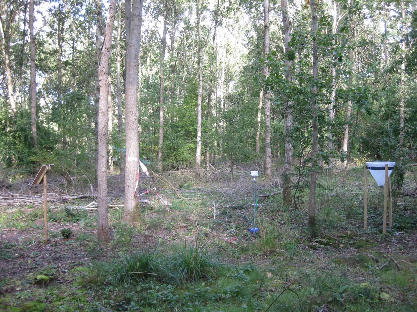
Vestskoven is a 15 km2 ongoing afforestation area located 15 km west of central Copenhagen. Since 1967 arable land has successively been bought up for afforestation in order to establish a large forest area for outdoor activities and wood production. In 1998, afforestation chronosequences in oak (Quercus robur) and Norway spruce (Picea abies) were established as a research platform to quantify soil carbon dynamics, water recharge, nitrogen budgets and ground vegetation species diversity. The soil and grund vegetation species composition were resampled in the chronosequences after 13 years in 2011. Since 2003, an ICP-Forests Level II/Core plot with integrated monitoring under the UN Convention on Long-Range Transboundary Air Pollution (CLRTAP) is placed in an oak stand. Monitoring has developed over time. There is no time limit on the monitoring financed by the Ministry of Environment and Food in Denmark.