
percent nitrogen
Type of resources
Available actions
Topics
Keywords
Contact for the resource
Provided by
Years
Formats
Representation types
-
In 1998 a permanent plot (50 x 50 m) was established on the slope of the Nosal Mountain at the height of 970 m asl in 120 year old spruce stand, where in the 120-year-old spruce stand bulk deposition, throughfall and soil solution are collected. The investigations of health status of trees and floral characteristic have been carried out since 2001. The analyses are carried out in a certified laboratory of the Institute for Ecology of Industrial Areas, Katowice (Certificate No AB 325). The basic meteo data are taken from the monitoring station located at Kuźnice (about 1 kn from the plot).
-
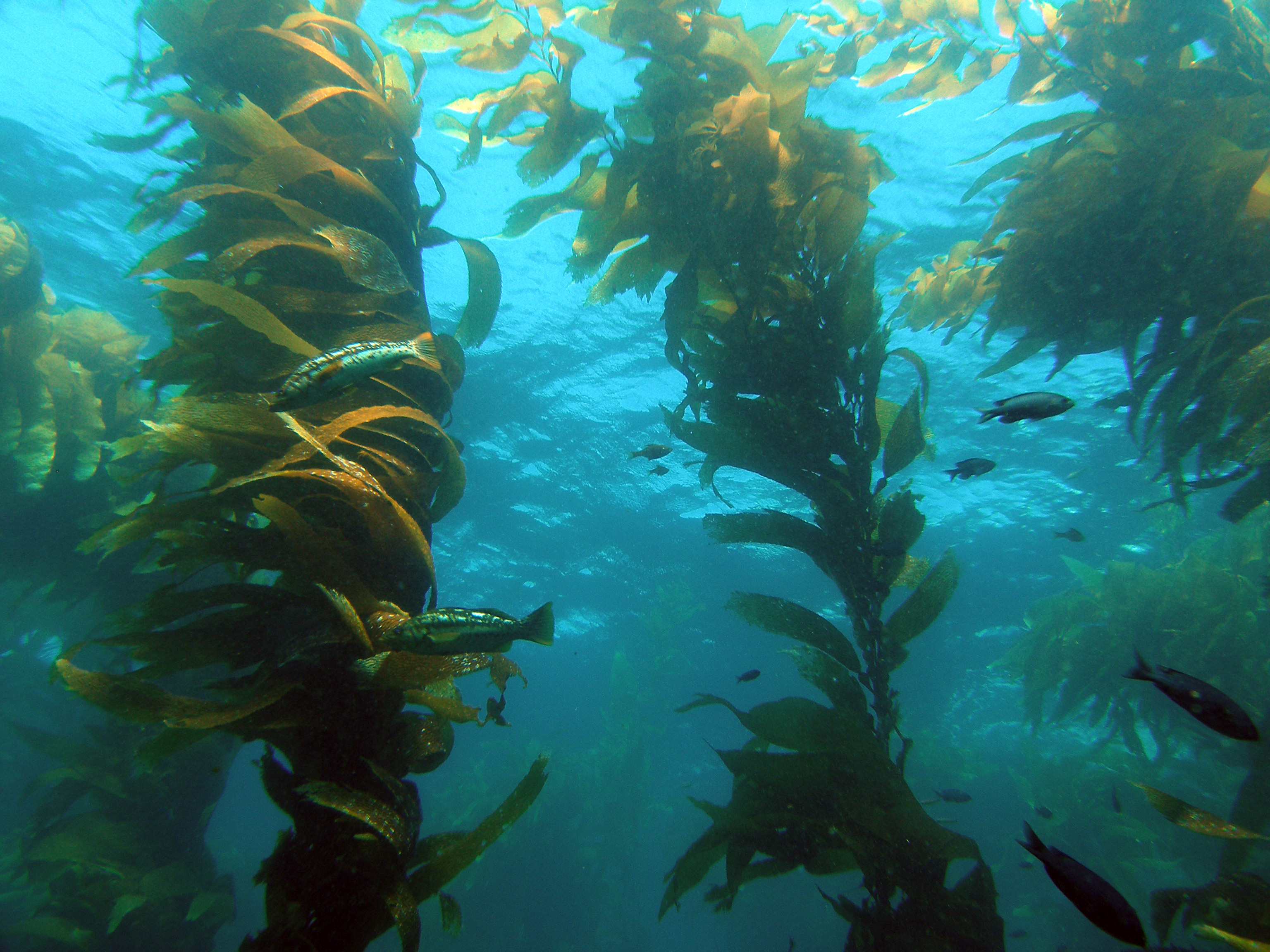
The Santa Barbara Coastal Long Term Ecological Research (SBC LTER) site is an interdisciplinary program established in 2000 to understand the ecology of coastal kelp forest ecosystems. Our research is focused on the nearshore waters of southern California, where ocean currents and climate are highly variable with season and longer-term cycles, including the El Niño-Southern Oscillation and the Pacific Decadal Oscillation. SBC’s principal study domain is a 10,000 square kilometer area of the northern portion of the Southern California Bight that includes the Santa Barbara Channel and the steep coastal watersheds, small estuaries and sandy beaches that border the Channel.
-
Data for pH, SO42-, NO3-, NH4+, Cl-, K+, Na+, Ca2+, Mg2+ concentrations of bulk precipitation and throughfall, deposition of major ions and heavy metals (Pb and Cd), rainfall amount, temperature, humidity and some soil properties of the beech and spruce sample plots for 2012 year
-
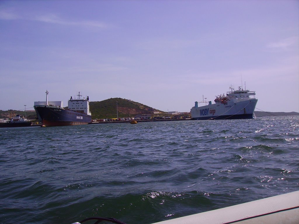
The Gulf of Olbia is situated on the eastern coast of Sardinia. Morphologically, it is a typical ria, long 5 km, wide 2 km and with a total area of 600 ha, a mean depth of 5 m and a maximum depth of 10 m. The gulf receives a freshwater flow from the Padrongianus River in its southern part. The town of Olbia, located in the inner part of the Gulf, is one of the most important passenger harbors in the Mediterranean (about 4 million passengers per year) with in addition a commercial and an industrial harbor. It is also the largest mussel- and clam-farming area in Sardinia (5000 t yr−1). Mussel and clam farming is strongly affected by the presence of toxic algae. Since the early 1990s, the Gulf of Olbia has been monitored with respect to its trophic state and phytoplankton abundance and composition, in particular, the presence of toxic or harmful species of genus Alexandrium (Dinophyceae). However, the first data were collected in 1987, in connection with a discoloration event due to phytoplankton and with an extensive fish death. A long-term series of data is available and derives from high-frequency measurements and samplings to assess environmental and biological parameters. In particular the data concern the main trophic descriptors (Secchi depth, temperature, pH, conductivity, dissolved oxygen and saturation, alkalinity, NH4-N, NO2-N, NO3-N, total nitrogen, soluble reactive phosphorus, total phosphorus, dissolved silica) and phytoplankton abundances, as chlorophyll a, cell densities and biomass, class and species composition. Data collection started in 1992 for only phytoplankton data, then, other environmental variables are added in 1996, with some time gaps of various sizes up to 2008. The collection of only phytoplankton data has continued without interruption since 2008.
-
None
-
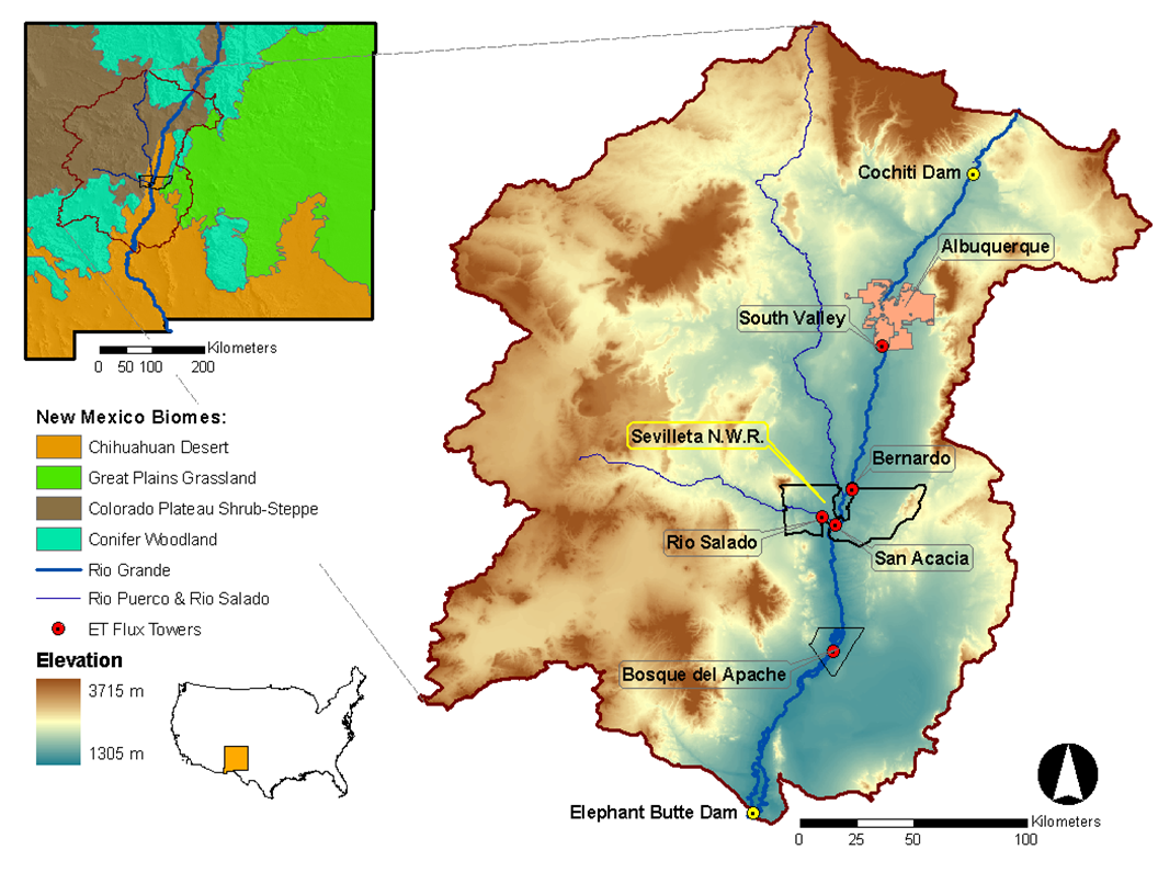
Desert grassland, shrubland, woodland, forest and riparian habitats in central New Mexico, USA
-
The site Mondsee is part of the European Level II Forest Monitoring System in the frame of the International Co-operative Programme on Assessment and Monitoring of Air Pollution Effects on Forests (ICP Forests). This site is one out of 16 Austrian Level II sites; it was established in 1995 and is, since 2006, part of the LTER Austria network. The site is situated about 25 km east of the city of Salzburg at 850 m a.s.l., in a mixed about 25 year old spruce broadleaved forest.
-
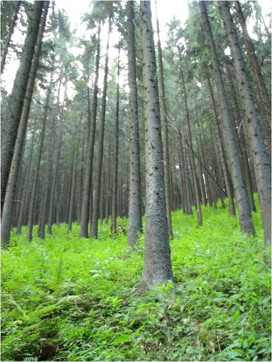
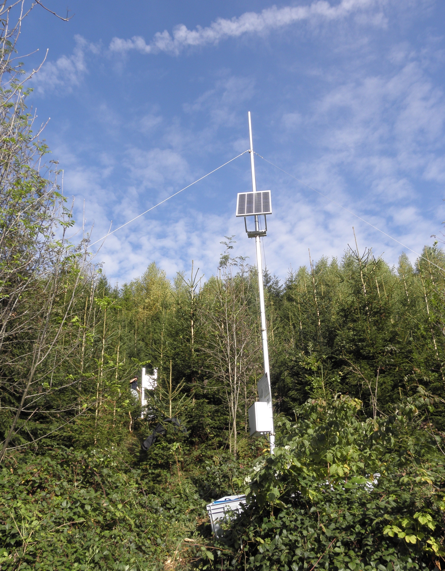
The Brenna monitoring site in the Silesian Beskid (Polish part of the West Carpathians) was established in 1991 and consists of a monitoring station (meteo parameters and air pollution level) at the elevation of 865 m a.s.l. and 7.5 ha and 50 ha catchments at the elevation of 750 m a.s.l under old spruce stand being under reconstruction.The main goals of the monitoring programme is the investigation of: ● Response of spruce stands to air pollution and forest management practice in the mountain area which has been influenced by emissions from the industrial complexes of Silesia and the Czech Republic ● The balance of nutrients in a small mountain catchment. ● Changes in floral characteristics These monitoring activities have been continuing and moreover, the effect of forest management (falling, skidding) on soil (erosion) is monitored. In 2016 the Particulate analyzers (PM10/PM2.5) (The Model 5030 Synchronized Hybrid Ambient Real-time Particulate SHARP Monitor) were installed at the station to measure the inflow of pollutants from industrial regions.Equipment for meteorological measurements is as follows: Barometr LB-716, Thermohigrometer LB-710R, Wind Speed Meter LB-746, Pyranometer PQS1, Thermometer LB-711 (air and soil), Pluviometer RG50A. Additionally, continuous measurements of ozone have been carried out since the nineties (Monitor Thermo Scientific).
-
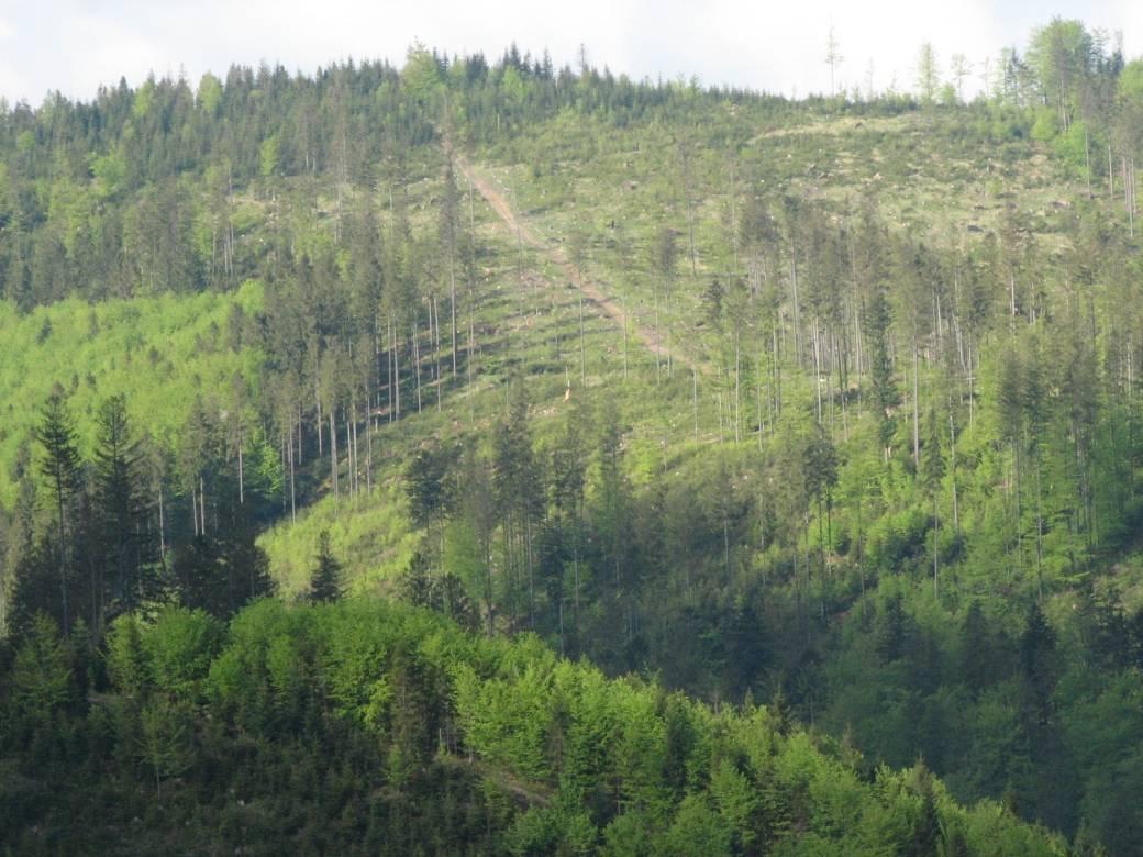
Děvín is a considerable site of forest and non-forest ecosystems of the warmest part of the Czech Republic. Due to heterogeneous geomorphology, it comprises a range of habitat conditions and vegetation types. Forests cover about 3/4 of the area and they are formed mainly by oak-hornbeam wood, thermophilous oak wood, and ravine wood. The forests of Děvín were strictly managed as a coppice in the past. The oldest records are available from the late 14th century. The cutting period was as short as 7 years in the Middle Age and then gradually increased to 15–25 years during the 17th–19th centuries. A reason of the coppice management was the need of firewood. This probably led to a dominance of the large-leaved lime (Tilia platyphyllos), which stands regular cutting and quickly re-sprouts. The traditional management was abandoned in the 20th century, a nature reserve was declared in 1946, and later even a game preserve was established; the latter, however, was cancelled in the 1990s. The forest has been gradually transformed to a high forest and its age has increased to the today’s average of 70, sometimes over 120 years. The dramatic change in the management has caused a large change in ecological conditions. Light woods, hosting many species occurring in light- and warm-demanding conditions, have shifted to mesic, i.e. moister and nutrient-richer forests than ever before. A marked decrease in diversity in forest understorey has been a consequence. This trend was revealed by a comparison of nearly 200 vegetation plots from 1953–1964 with their 2002–2003 replicates, i.e. after 40 to 50 years. A similar comparison is available for soils with 34 repeated pedological profiles. The aim of the present management is to restore coppices with partial preservation of some stands in a non-intervention regime. A set of 80 permanent plots has been established in 2008 in order to monitor the consequent environmental and vegetation changes, as well as diversity of invertebrates, with a monitoring period of 5–10 years.
-
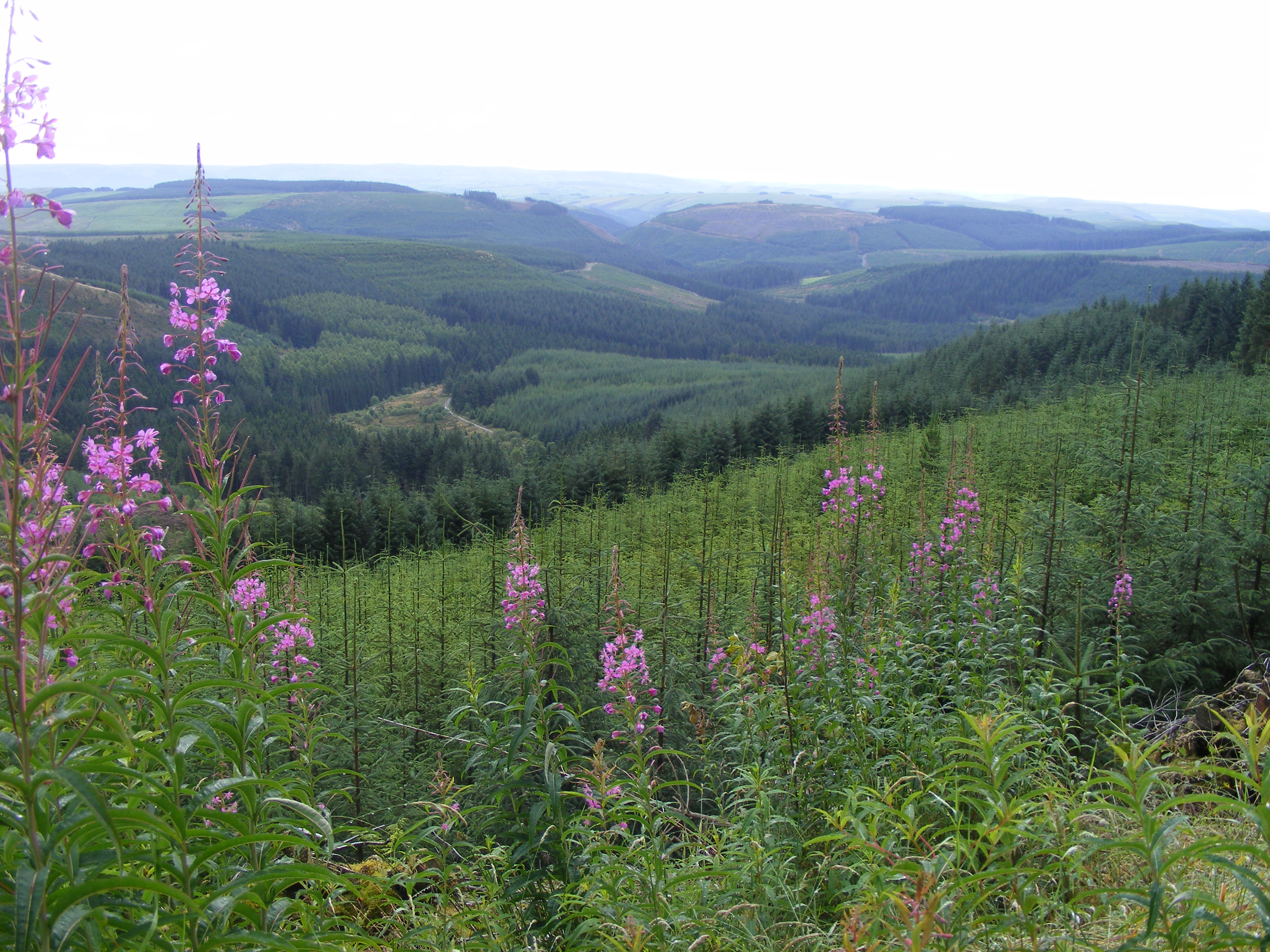
Plynlimon is at the headwaters of the Rivers Severn and Wye. The infrastructure at Plynlimon consists of 10 instrumented research catchments representing different land use options on the same geological parent material. It is the UK’s Critical Zone Observatory, part of the EU and global network of CZOs and is an ExpeER site. The infrastructure records high temporal resolution river flow and meteorological data (40 year data record) and stream water and precipitation chemistry for cations, anions, trace metals, nutrients, pH and alkalinity (30 year data record) and some data for suspended sediment. The site has an extensive spatial data library including topography, digital terrain model (DTM), soils, geology and vegetation/land-use available, open access, through the Environmental Information Data Centre (https://catalogue.ceh.ac.uk/documents/91961a0f-3158-4d00-984d-91eb1e03e8bd). Sub sites in the catchments represent a range of upland management types: mature/clear cut/replanted conifer forest; acid grassland; eroding peatland; improved grassland.Samples analysed for a wide range of major, minor and trace components. Bulk precipitation and cloudwater chemistry is also measured at one location.