
phytoplankton biomass
Type of resources
Available actions
Topics
Keywords
Contact for the resource
Provided by
Years
Formats
Representation types
-
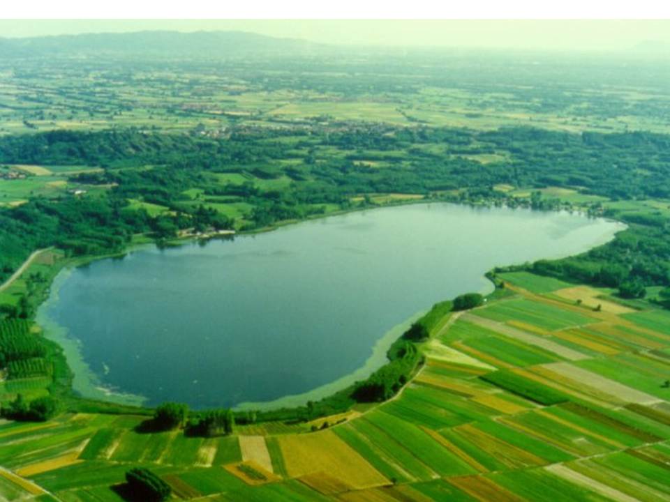
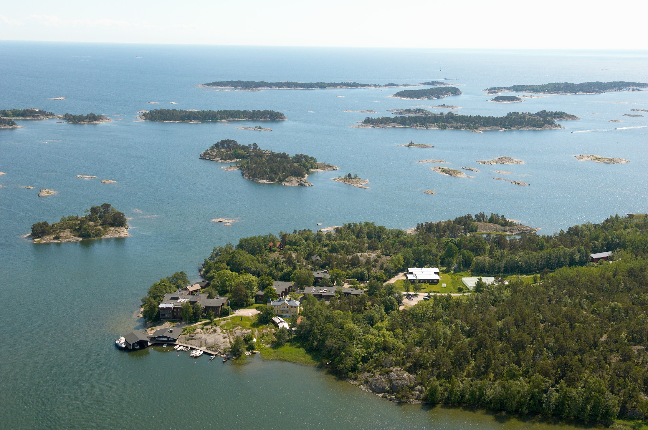
Lake Candia is a small and shallow lake, located in North-Westerm Italy. The mean elevation is 226 m a.s.l., the surface is 1,5 km², the max depth 7,7 m, the mean depth 4,7 m and the volume 0,007 km3. Lake Candia has suffered during its evolution a natural increase of its trophic state, undergoing a process of eutrophication culminated with a marked worsening of his ecological quality since the '60s. In the late '70s and mid '80s, this ecosystem was affected by fish mortality episodes and by the enormous development of emerged and submerged aquatic macrophytes. The systematic scientific study of Lake Candia began in 1985, when the CNR of Verbania was asked to perform a limnological research with the aim to propose a possible restoration intervention. In addition to the control of pollution sources from the basin, environmentally sound technologies were applied to reduce the effects of eutrophication, such as biomanipulation of the aquatic food chain and macrophyte control and management.The experiment conducted in Lake Candia has shown that significant improvements can be achieved through the management of a specific key components of the biocenosis of the lake. Data collection activities on hydrochemistry, phytoplankton, zooplankton, fish fauna, macrophytes, as well as physical limnology, took place from 1986 until 2012. To date, only hydrometeorological data collection (precipitation, air temperature, wind, solar radiation and lake levels), started in 1987, is active. LTER specific topics are: Long-term analysis of changes in community functional diversity of phyto-and zooplankton. Evaluation of the lake ecosystem response to short and intense rainfall events, in relation to the increase of nutrients input through runoff.
-
The separation line of the semi-enclosed northern basin from the rest of the Adriatic Sea is conventionally defined at the 100 m isobath, at about 43°20’N, from where the bottom depth moderately decreases up to the northern coast reaching the smallest average depth in the northernmost protrusion of the basin, the Gulf of Trieste (surface area 600 km2, volume 9.5 km3, maximal depth approx. 25 m). The oceanographic properties of Gulf of Trieste are affected by water mass exchange with the northern Adriatic at the open western boundary, by local meteorological conditions that induce a pronounced seasonal cycle of seawater temperature (6 - 28 oC) and by the largest freshwater input, the Soča (Isonzo) River. The latter enters the Gulf on the shallower northern coastline with an average flow of 123 m3 s-1 and represents the major source of land-borne nutrients in this coastal zone, in particular of nitrate, whereas inputs along the south-eastern coast are comparatively small (contributing less than 10% to the freshwater balance in the Gulf). The circulation pattern is variable, however the prevailing ENE wind is the most efficient for the water exchange, especially during winter. These physical features, in addition to freshwater inputs, are ultimately reflected in the distribution of nutrients and in the seasonal and inter-annual variability of plankton communities, primary production but also in events of hypoxia/anoxia and mucous macroaggregates, which have characterised the whole northern Adriatic basin in the recent past. The waters of the Gulf of Trieste have been monitored for several physical-chemical and biological variables since 70s’ but the longest and most continuous data set of biological variables is represented by the phytoplankton time series, which started in 1990 when the national monitoring programme has become operational (set by Slovenian Environmental Agency). From 2007 onwards, the monitoring programme complies with the regulations of the EU Water Framework Directive (2000/60/EC).
-
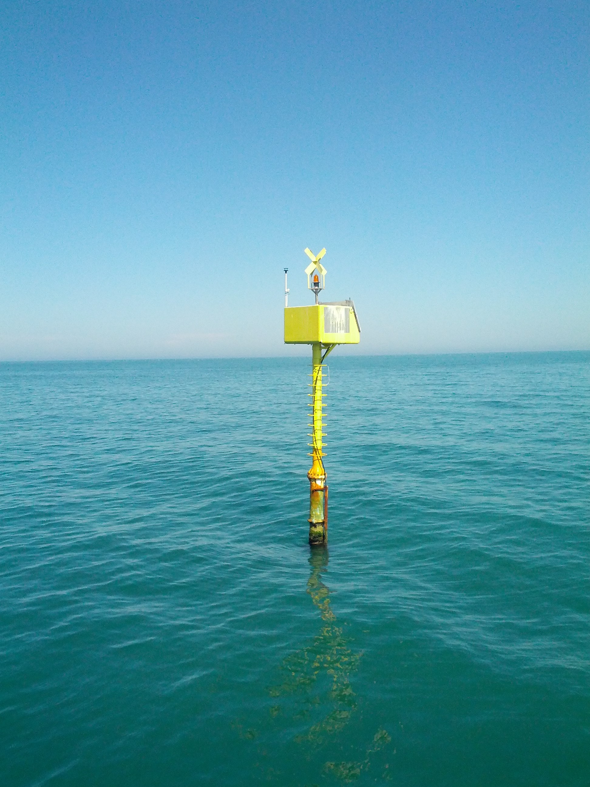
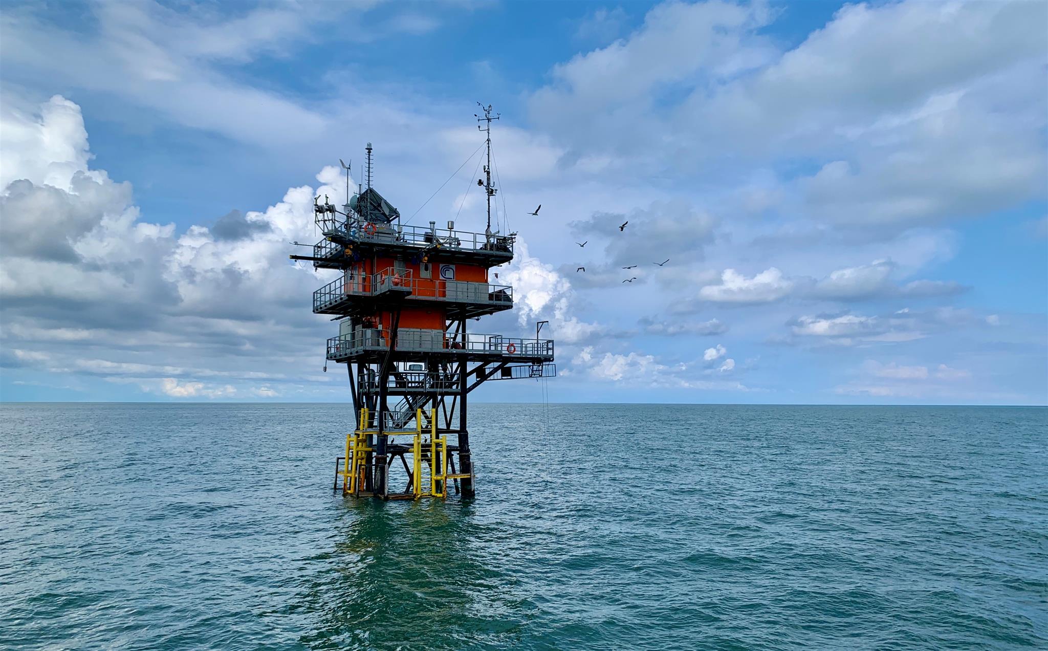
The Transetto Senigallia-Susak is a transect of sampling stations located in the Northern Adriatic Sea. The IRBIM-CNR in Ancona and the Politechnical University of Marche collects from the end of years 80s physical, chemical and biological data. This is an excellent observing site to analyze the characteristics of water masses entering and leaving the North Adriatic Sea and their possible modification. In the site is also located the TeleSenigallia pylon.
-
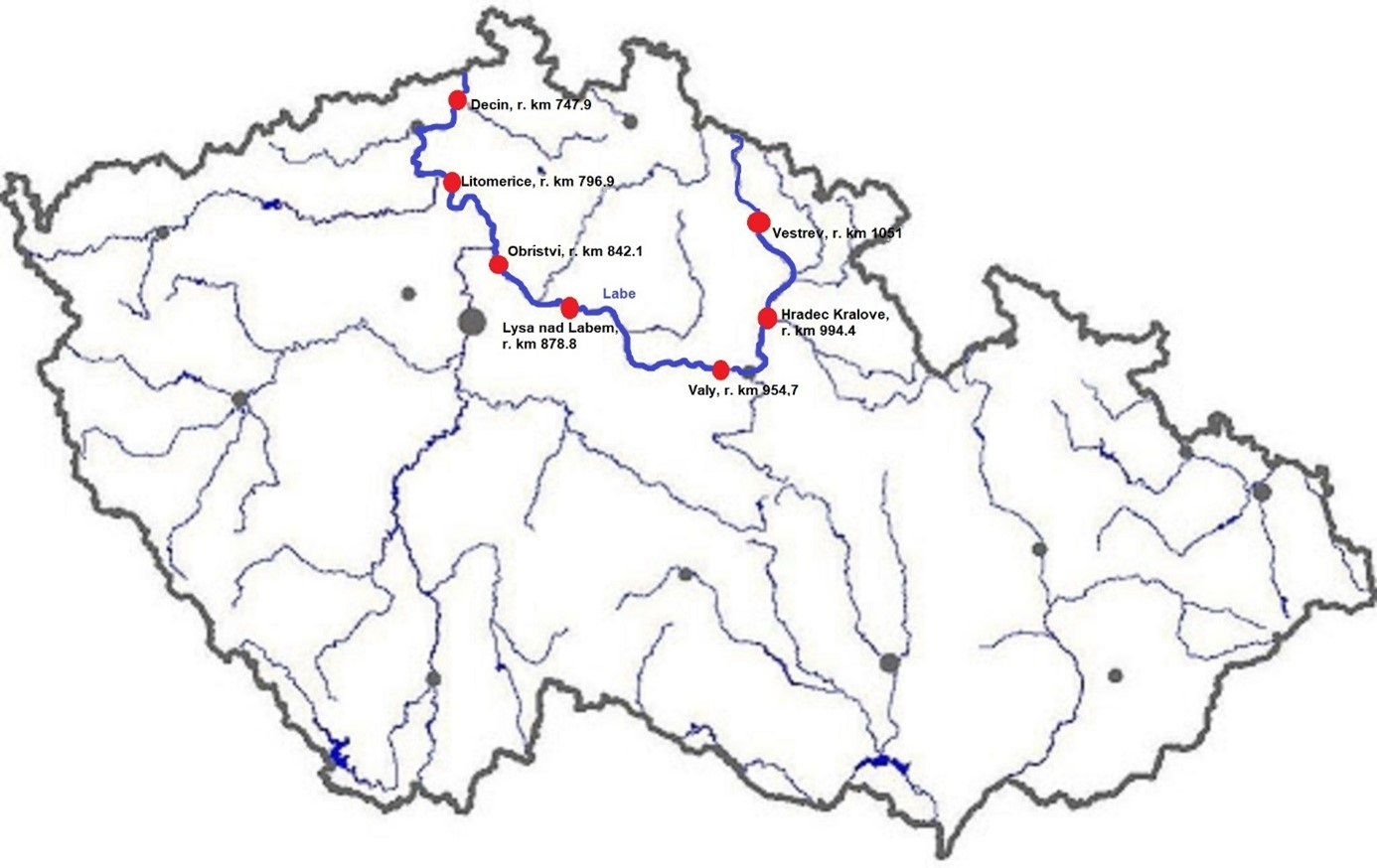
The Elbe River is one of the major rivers in Central Europe. It springs at an altitude of about 1,400 meters in the Giant Mountains in the north of the Czech Republic. It flows through eastern, middle, and northern Bohemia, and its catchment area includes most of Bohemia. The Elbe traverses the northeastern part of Germany and flows into the North Sea. The total river length is 1,094 km. In the Czech Republic, the monitored river length is 371 km and the catchment area includes 49,933 km2. The average flow at the Czech-German borders is 311 m3 s-1. Many weirs dam the watercourse of Elbe River in the Czech Republic. This artificial intervention is crucial for the characteristics of the riverbed, its width, depth, and bottom substrate. The width of the riverbed in the monitored area ranges from approx. 10 m on the upper course to approx. 150 m on the lower course and river sections above the weirs. The depth of the river varies from 0.5 m in the upper parts and below the weirs to more than 5 m in the lower course and above the weirs. The bottom substrate varies from the stony, gravelly, and sandy fractions in shallow and fast-running sections to muddy/silty fractions in slow-running sections above the weirs. The main tributaries of the Elbe in Bohemia are Metuje, Orlice, Jizera, Ploučnice, Vltava, Ohře and Bílina rivers. The catchment area is densely populated. The river is exposed to various sources of pollution (organic, agricultural, and industrial) and hydromorphological pressures (straightening, shortening, regulation of meanders, and fragmentation of river continuity). There are seven permanent monitoring sites on the Elbe River in the Czech Republic: Děčín (river kilometer 747.9), Litoměřice (796.9), Obříství (842.1), Lysá nad Labem (878.8), Valy (954.7), Hradec Králové (994.4) and Vestřev (1051). The Elbe basin long term environmental research has been organised by the Ministry of Environment of the Czech Republic and cooperation institutions since 1993. More than 600 physicochemical parameters, including sensory properties of water, are regularly monitored in at least nine different types of matrices (water, sediment, periphyton, floats, sedimentable floats, benthos, fish tissues, fish fry, and Dreissena polymorpha tissue) and using passive samplers. Among the main monitored characteristics belong balances of macroelements (carbon, nitrogen, oxygen, phosphorus), concentrations of inorganic salts, heavy metals and various organic pollutants such as pesticides, personal care products (including drugs) and other anthropogenic substances in the environment. Characteristics such as abundance and species composition are regularly monitored in fish, macrophytes, macrozoobenthos, phytobenthos and plankton.
-
The Gulf of Venice is a gulf that borders modern-day Italy, Slovenia and Croatia, and is at the north of the Adriatic Sea between the delta of the Po river in northern Italy and the Istria peninsula in Croatia. The site is under a heavy antropic impact (nutrient loads, coastal towns, fishery, tourism maritime routes). In the past eutrophic events struck the ecosystem and, more recently, frequent mucus macro-aggregates extended in the whole basin. Study of long term historical time series of the biotic community in the Gulf of Venice in relation with the biogeochemical cycles and physical properties of sea-water have been conducted since the '70s.
-
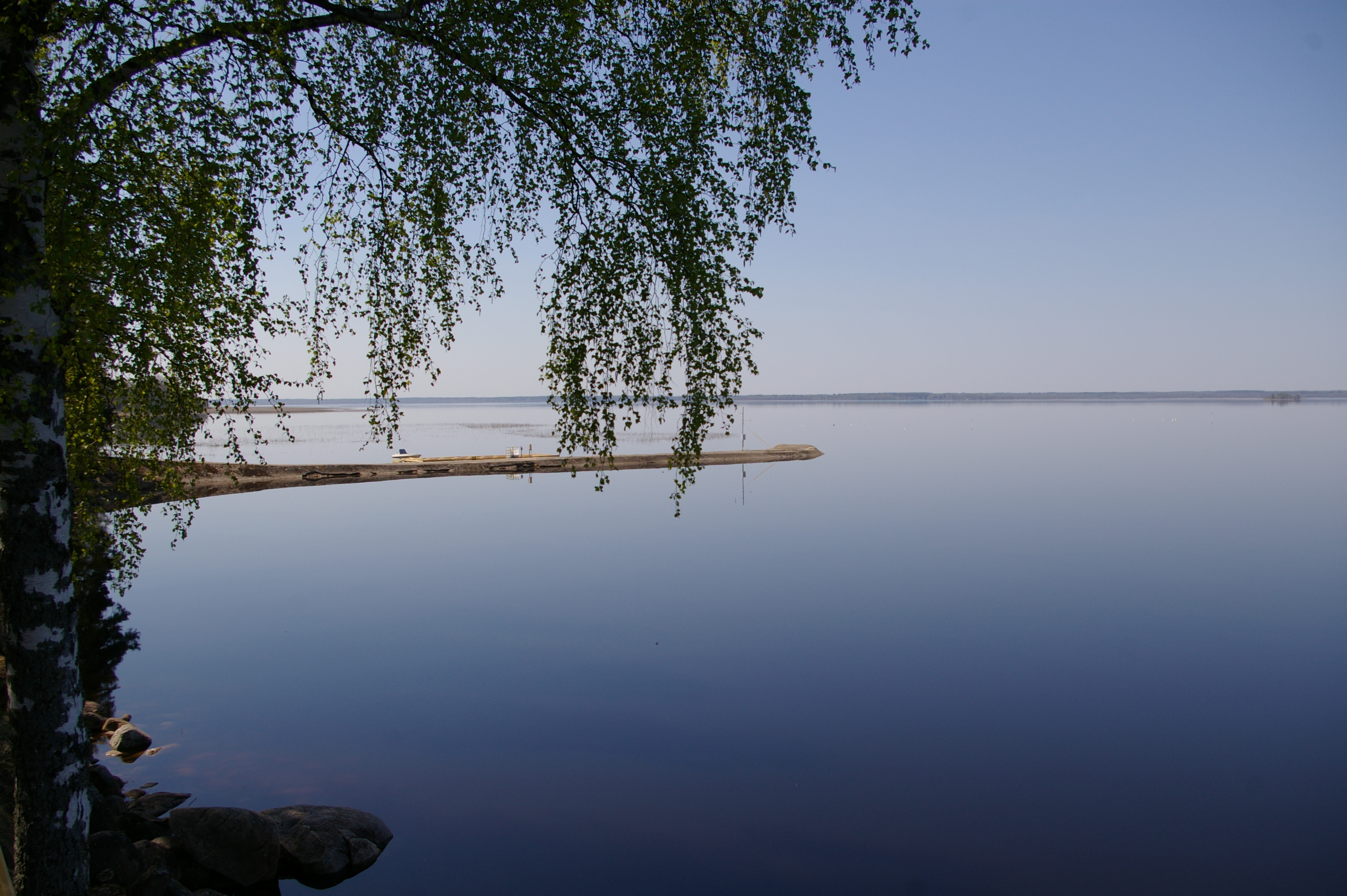
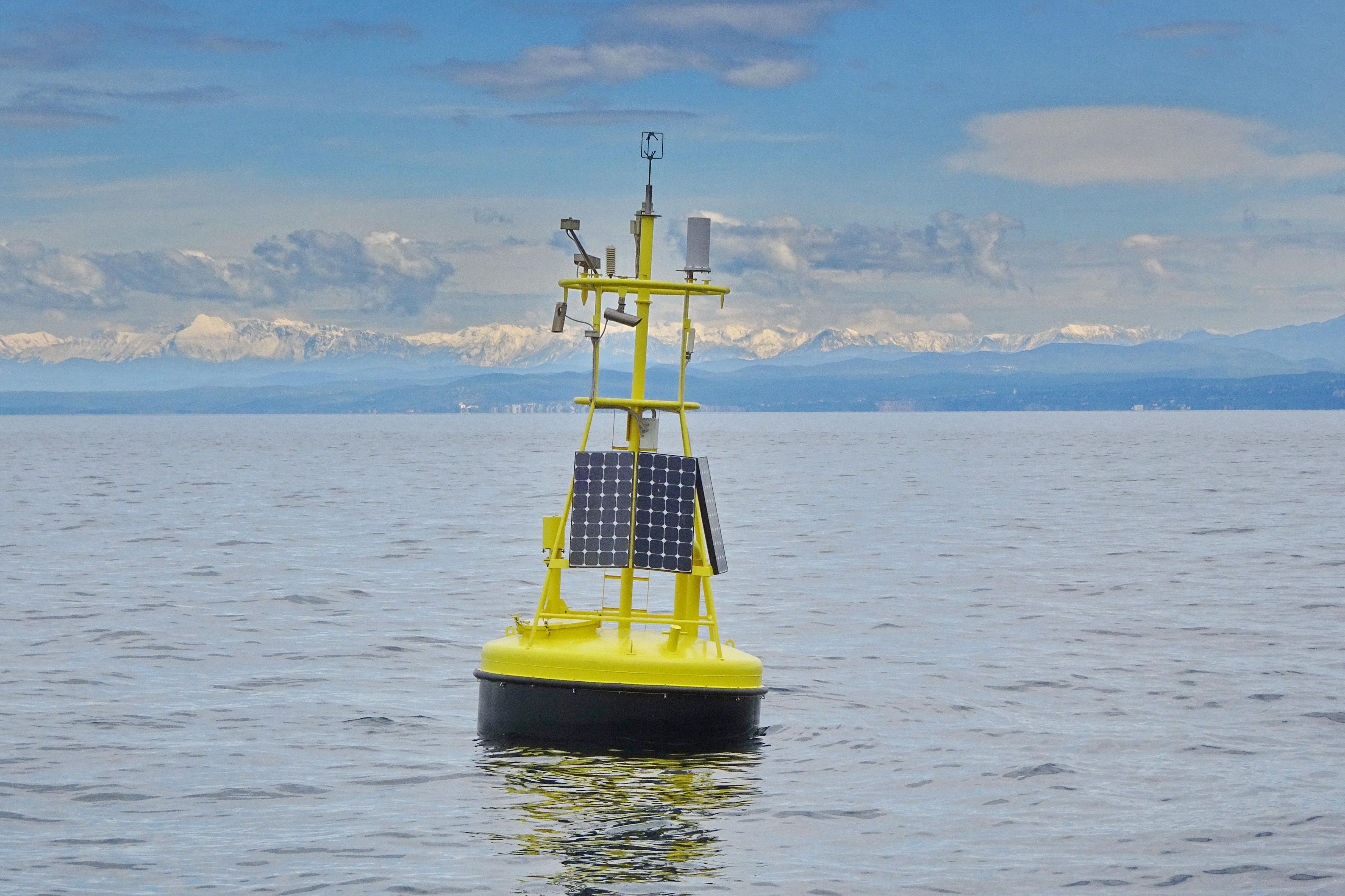
Lake Võrtsjärv is the largest inland water body in Estonia. Is located in Central part of the country (58.286560, 26.049585). Is a large (270 km2) shallow polymictic lake with a maximum depth of 6 m and a mean depth of 2.8 m. According to the classification by Lewis (1983) belongs to continuous rather than discontinuous cold polymictic lakes. Lake Võrtsjärv Buoy was deployed in the summer of 2010 near the deepest point of the lake (N 58.211798, E 26.103163) to gather high resolution data on meteorology and water quality of the lake. YSI EMM 700 bay buoy has been used for float. YSI 6600 V2-4 multisonde (at 1 meter) was fixed at 1 meter depth for underwater measurements. The buoy is equipped with a Vaisala Weather Transmitter WXT520 and a Li-Cor pyranometer (LI-200) for weather parameters. Data collection was controlled with Campbell CR1000 datalogger. System was renewed in 2021. Current underwater measurements are collected with EXO2 multisond and data collection is controlled by Flydog Marine datalogger.
-
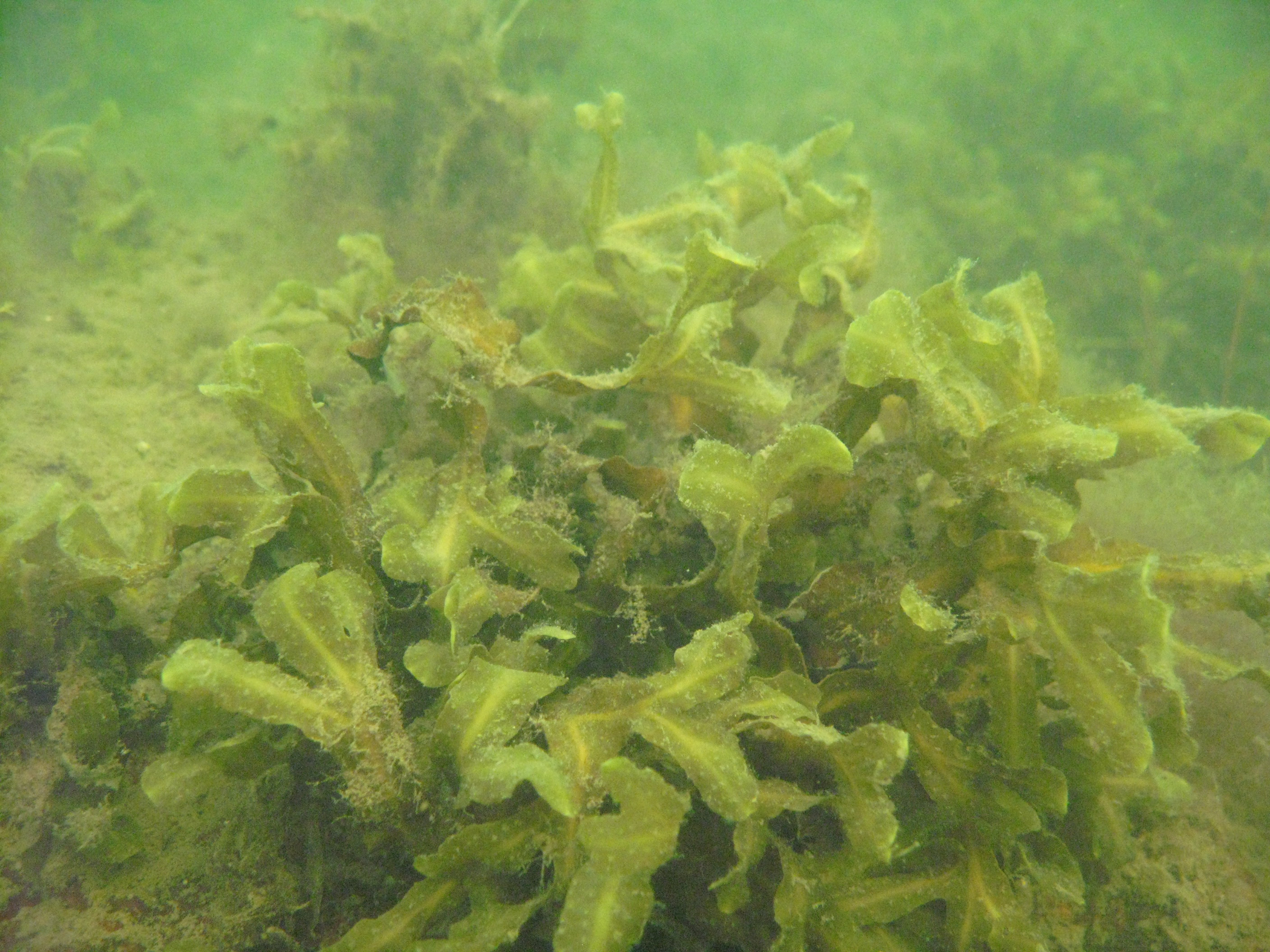
Western part of the Gulf of Riga (the Baltic Sea) littoral and sublitoral zone. The marine site is located on the west coast of the Gulf, in the Engure Nature protected area. The monitoring activities are based on three transects which represent an open area of very similar substrate type. These transects are located on the tip of Mersrags, 2.5 km northwards from the port of Mersrags. Long-term studies of the Gulf of Riga coastal zone communities and macrophytes as the key component of littoral zone under natural and anthropogenic impact and possible threats to the littoral zone biological resources. The SCUBA diving is used in marine site assessment.
-
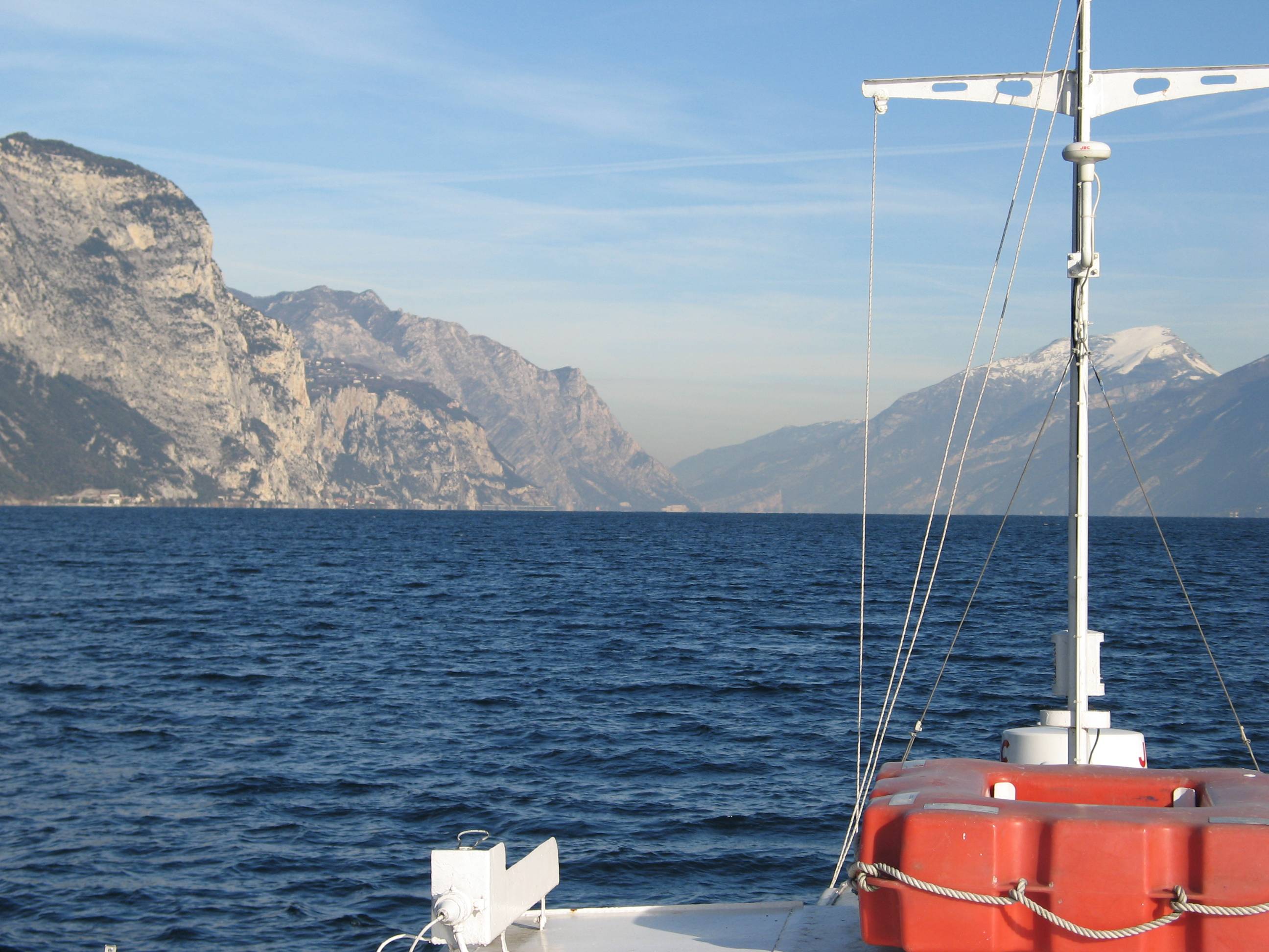
Lake Garda has the largest volume (49 billions of cubic meters) and the most extensive area (368 km2) of Italian lakes. Along with lakes Orta, Maggiore, Lugano, Como, Iseo and Idro, it forms part of the group of deep lakes located south of the Alps in one of the most densely populated and highly productive area of Italy. With a total volume of over 124 billions of cubic meters, these lakes constitute one of the largest freshwater supplies in Europe. Their waters are used for agriculture, industry, fishery and drinking. Moreover, they are an important resource for recreation and tourism thanks to both attractive landscape and water quality. In Lake Garda, sporadic studies were carried out irregularly by various Institutions up to the end of the 1980s. Since the beginning of the 1990s, continuous monthly samplings and measurements were carried out by the Department of Biology of the Padova University (Responsible, Nico Salmaso), with the collaboration of ARPAV. Since 2005 the whole limnological research is performed by the Limnological research group of the Agrarian Institute of S. Michele all’Adige – E. Mach Foundation (S. Michele all’Adige, Trento; coordinator, Nico Salmaso). Since the 1970s, Lake Garda showed an increase in the trophic status, with mean annual concentrations of total phosphorus in the whole water column increasing from ca. 10 µg P/L to 20 µg P/L. In the last 4-5 years of observations, TP showed a stabilisation of the concentrations, around 18 µg P/L. At the community level, annual phytoplankton cycles underwent a unidirectional and slow shift mainly due to changes in the species more affected by the nutrient enrichment of the lake. After a first and long period of dominance by conjugatophytes (Mougeotia) and diatoms (Fragilaria), phytoplankton biomass in recent years was sustained by cyanobacteria (Planktothrix). Other important modifications in the development of phytoplankton were superimposed on this pattern due to the effects of annual climate fluctuations principally mediated by the deep mixing events at spring overturn. Main specific research objectives in this LTER station include: -Changes in the physical, chemical and biological variables at different temporal scales, from months to decades and centuries (paleoecology). Update of the time series of hydrological, climatological and limnological data, whith special attention to lake evolution and effects on biotic communities in relation to ongoing climatic changes. Definition of predictive models. - Identification of the environmental and biotic mechanisms favouring the development of cyanobacteria (including the recent appearence of blooms and new species). Identification of the factors selecting for the development of toxic strains, the production and concentrations of epato- and neurotoxins, and their impact on trophic webs and water usability. The limnological field facilities of the limnological research group include 2 rubber dinghies, 2 multi-parameter probes, a fluoroprobe, a FlowTracker Handheld ADV Sonntek, underwater Quantum sensors, a Kajak corer and an Eckman dredge for sediment sampling. The unit also has several laboratories. These include the hydrobiology and microscopy laboratory, equipped for analyses of basic limnological variables (photosynthetic pigments, dry weight, dissolved oxygen, water turbidity, macrophytes) and of phytoplankton, picoplankton and periphyton samples (microscopes, invertoscopes, fluorescent microscopy, image analysis). The analytical and environmental chemistry laboratory is equipped for analysis of the major ions and nutrients (phosphorus, nitrogen and silica), as well as organic molecules (with focus on cyanotoxins) by means of spectrophotometry, ion chromatography and Liquid Chromatography-Mass Spectrometry (LC-MS). We have access to genetic laboratories equipped with the principal analytical tools, i.e. PCR, electrophoresis, and sequencing. The data collected at monthly frequency since 1991 includes water temperature and oxygen. Phytoplankton was collected since 1993, while complete data recording (including chemistry and zooplankton) begun in 1995.
-
The WelFin LTER-site is located at the Hanko peninsula, at the entrance to the Gulf of Finland. The activities are largely focused to the coastal areas surrounding Tvärminne Zoological Station (University of Helsinki); a marine station established in 1902. The site is well equipped to meet the research demands, offering differently sized research vessels, field equipment, a range of climate chambers, and modern analytical instrumentation. A large part of the surrounding area is a nature reserve, to be used only for science and education. Many of the partners of this site have a long history of scientific collaboration. Although high-quality basic research continues to be at the heart of the site’s activities, many of the research questions nowadays include aspects of human induced long-term change.
-
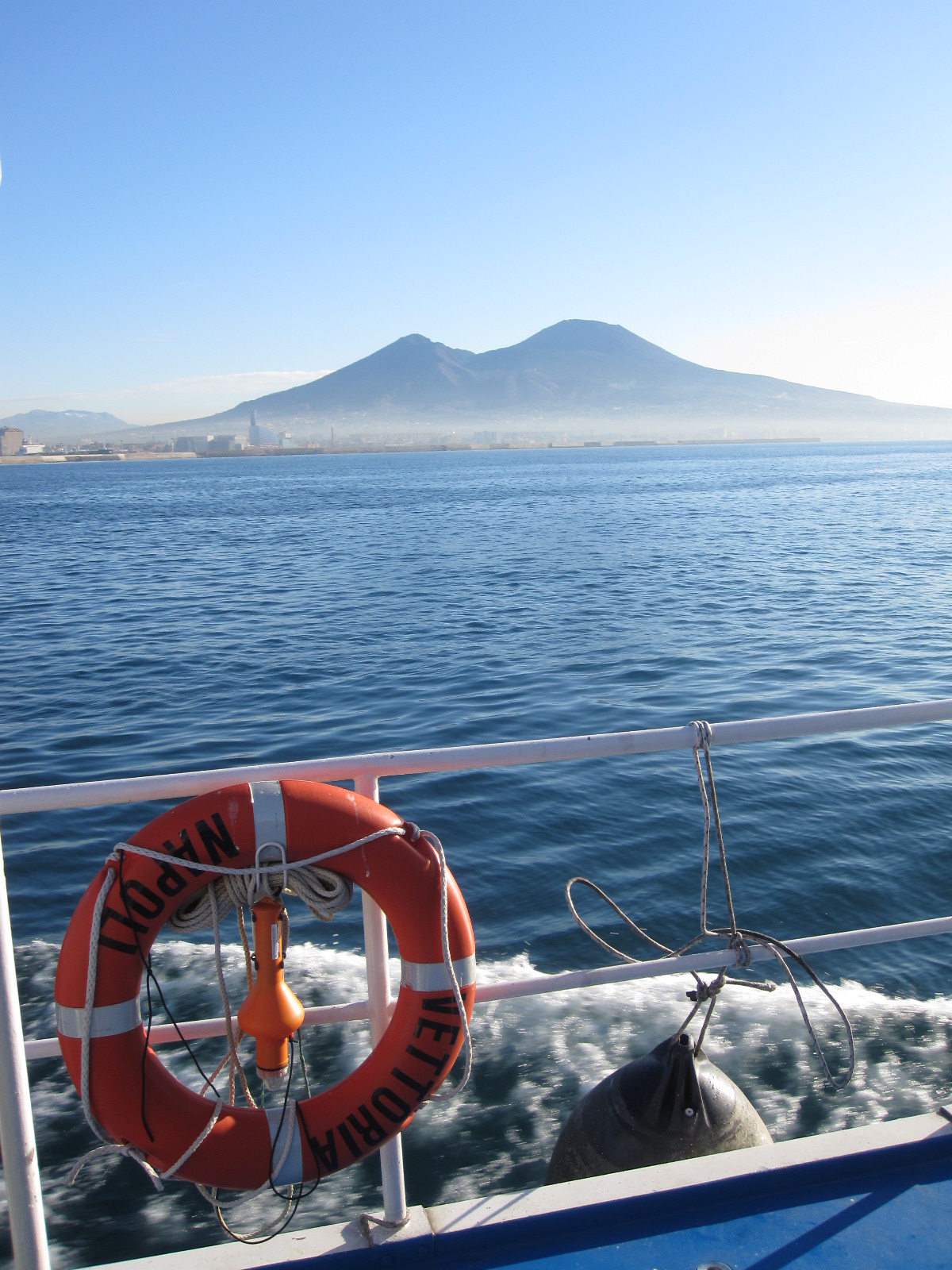
The Gulf of Naples has an extension of ca 870 kmq and an average depth of 170 m. The coastal area, which is inhabited since pre-Roman age, is densely populated and small factories are actively growing. In the Gulf, polluted areas (Sarno river mouth, harbours) coexist with pristine areas, including some Protected Marine Areas. Research on marine organisms has started before since the beginning of 1800, but first ecological studies date back to the 70ies of the last century. The long-term monitoring station (LTER-MC, 40°49’N, 14°15’E) is located 2 nm off Naples city (depth ca 75 m) at the boundary between eutrophied coastal waters and oligotrophic Tyrrhenian waters. Larger areas of the Gulf have been sampled occasionally in several cruises. The MC data set represents one of the few plankton time series available in the Mediterranean Sea, and it is certainly one of the longest.