
plant growth rate
Type of resources
Available actions
Topics
Keywords
Contact for the resource
Provided by
Years
Formats
Representation types
-
Mt Halla San is in Jeju Island, the only volcanic subtropical island, in South Korea. Every year the island is hit by several typhoons. It has shaped unique environmental characteristics and biodiversity. In addition the mountain is one of the most popular vacation sites with growing ecological concern.
-
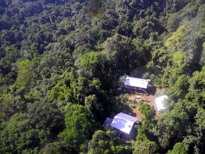
The site comprises 10,000 ha of pristine lowland rainforest in northern Papua New Guinea, owned by indigenous landowners from Wanang Village and declared as Conservation Area. The forest has >500 species of woody plants and largely intact, mildly hunted vertebrate communities. The site includes a field research station (phone, radio, accommodation, catering, solar power) accessible on foot or by helicopter. Further, the site has 50-ha forest dynamics plot from the Center for Tropical Forest Science network, with >300,000 stems tagged and monitored from 2012. There is significant background information on plants, birds, frogs, and several insect taxa. Insect monitoring programme is planned from 2013.
-

The Hölstein site is located in in the eastern part of the Swiss Jura mountains (47°26’16.4’’, 7°46’31.1’’; 540 m a.s.l.), in a mixed, temperate forest with an exceptionally high biodiversity and a vigorous tree regeneration. The research plot has a size of 1.6 ha and comprises 540 mature trees. The main tree species are Fagus sylvatica and Picea abies with an admixture of Abies alba, Quercus petraea, Pinus sylvestris, Acer pseudoplatanus, Carpinus betulus, Fraxinus excelsior and Sorbus torminalis. A canopy crane is installed in the center of the research area to access the tree canopies for in situ measurements and for sampling of leaf material. Rainout shelters will be installed in 2019 for conducting a long-term throughfall exclusion experiment.
-
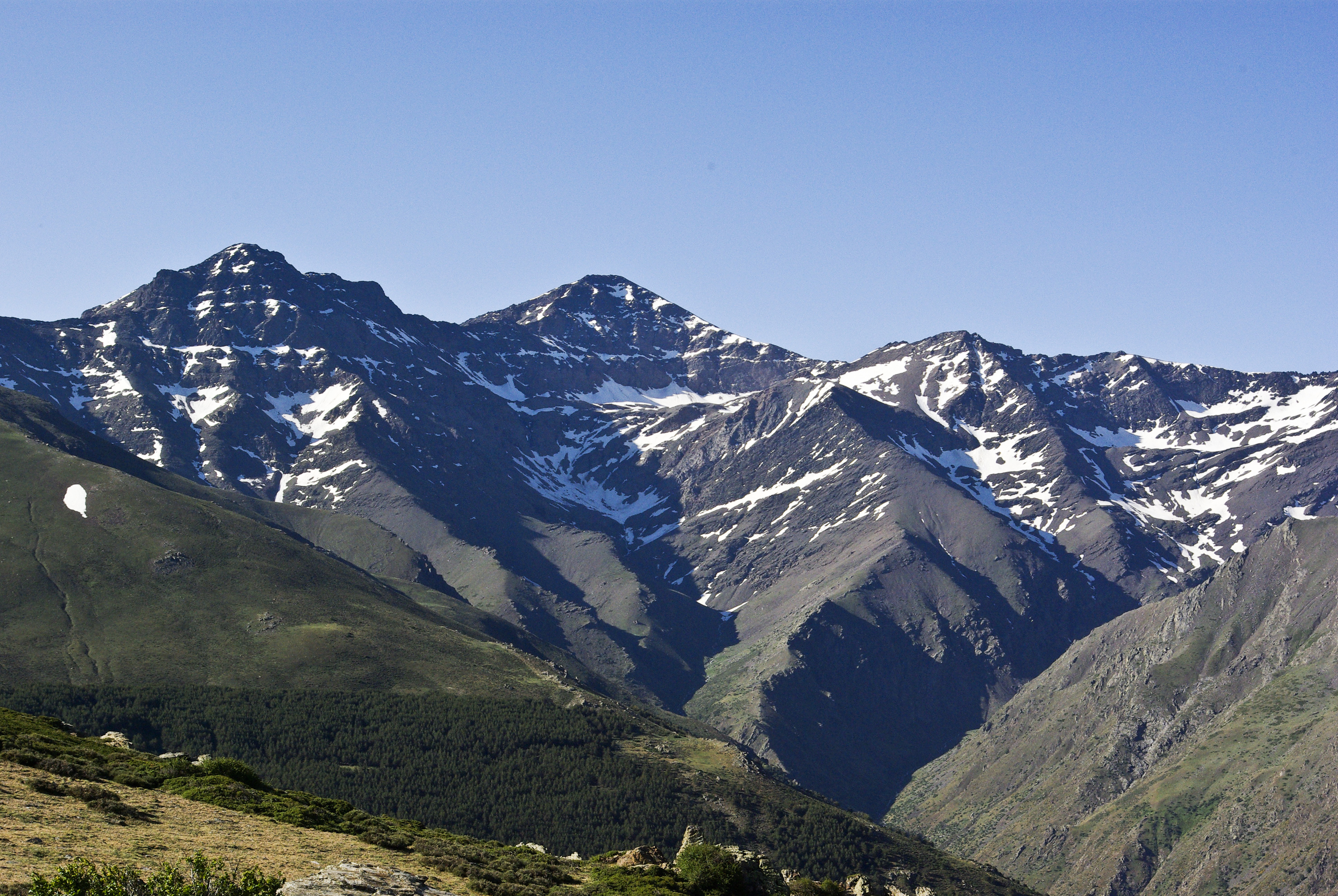
Mountain site, alpine forests Sierra Nevada (Andalusia, SE Spain), is a mountainous region with an altitudinal range between 860 m and 3482 m a.s.l. covering more than 2000 km2. The climate is Mediterranean, characterized by cold winters and hot summers, with pronounced summer drought (July-August). The annual average temperature decreases in altitude from 12-16ºC below 1500 m to 0ºC above 3000 m a.s.l., and the annual average precipitation is about 600 mm. Additionally, the complex orography of the mountains causes strong climatic contrasts between the sunny, dry south-facing slopes and the shaded, wetter north-facing slopes. Annual precipitation ranges from less than 250 mm in the lowest parts of the mountain range to more than 700 mm in the summit areas. Winter precipitation is mainly in the form of snow above 2000 m of altitude. The Sierra Nevada mountain range hosts a high number of endemic plant species (c. 80; Lorite et al. 2007) for a total of 2,100 species of vascular plants (25% and 20% of Spanish and European flora, respectively), being considered one of the most important biodiversity hotspots in the Mediterranean region. This mountain range has several legal protections: Biosphere Reserve MAB Committee UNESCO; Special Protection Area and Site of Community Importance (Natura 2000 network); and National Park. The area includes 61 municipalities with more than 90,000 inhabitants. The main economic activities are agriculture, tourism, cattle raising, beekeeping, mining, and skiing.
-

The Cairngorms National Park is one of 15 National Parks in the UK (one of two in Scotland) and is Britain's largest National Park (4,528 km2). It is the location for some of the most spectacular landscapes in Britain and is home to an incredible diversity of wildlife and plants. http://cairngorms.co.uk/the-park/facts-figures/ The aims of the National Park are: • To conserve and enhance the natural and cultural heritage of the area; • To promote sustainable use of the natural resources of the area; • To promote understanding and enjoyment (including enjoyment in the form of recreation) of the special qualities of the area by the public; • To promote sustainable economic and social development of the area’s communities. Cairngorms National Park, seven broad habitats can be identified: • Enclosed farmlands • Woodlands • Open waters (rivers, lochs, wetlands and floodplains) • Mountains • Moorland • Semi-natural grasslands • Urban • Population of c17,500 • 25.8% of population over 60 (higher than Scottish average) • Average health index in top 25% of Scotland (based on deprivation indices) • Extensive core paths network • 55 Munros including 5 summits over 4000 feet • 3 ski centres • National Cycle Network Route 7 • 1 Long Distance Route (Speyside Way) • Relatively low atmospheric pollution • Annual precipitation over 2250mm on summits and under 900mm in straths • Average annual snow cover 200 days on summits and 50 days on low-ground • Prevailing winds from south-west
-

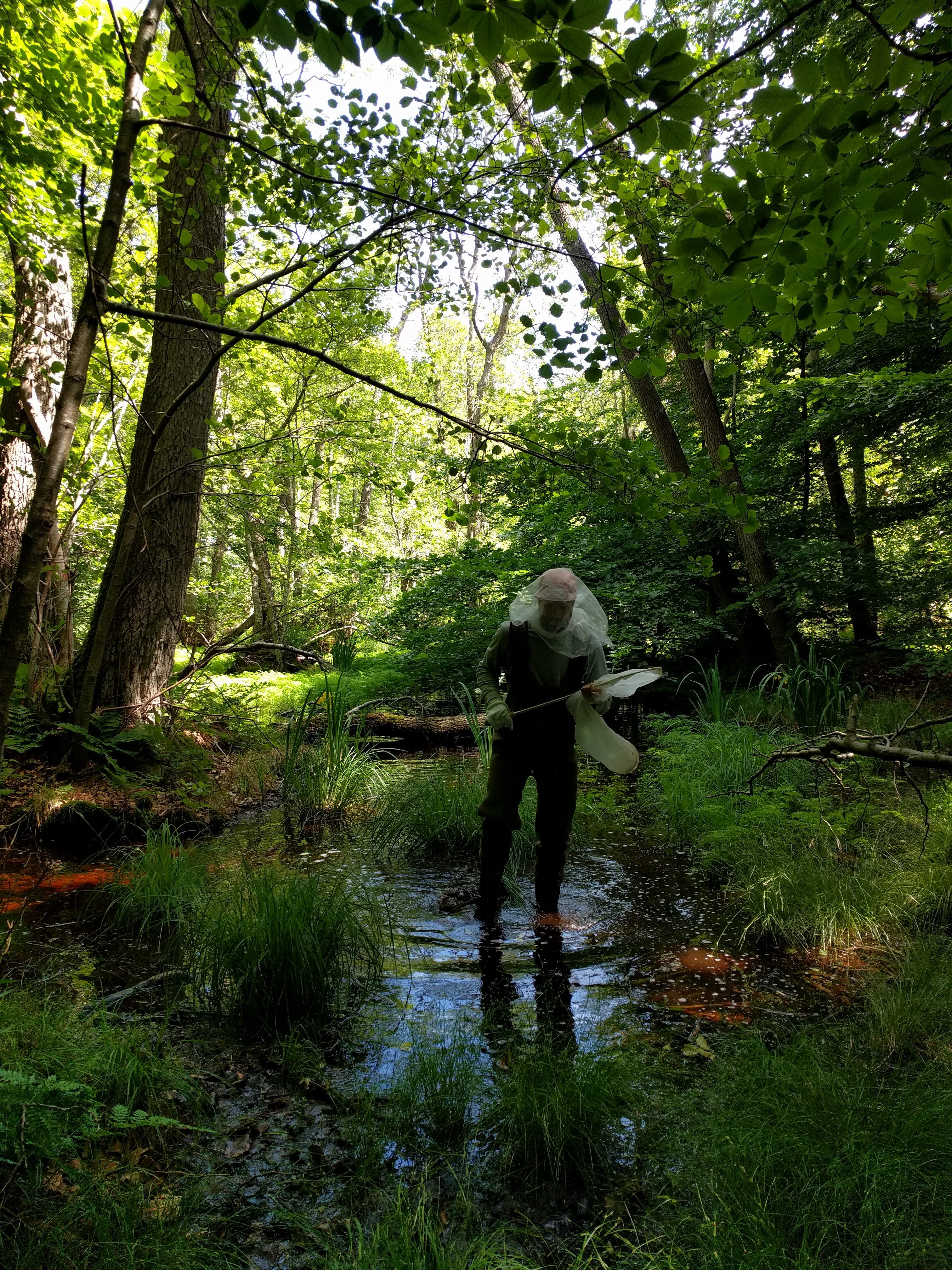
Monitoring stations in Aukštaitija NP started functioning in 1993. Aukstaitija station (LT01) was founded in strict reserve zone of Aukstaitija national park in Ažvinčių old forest, Versminis river closed basin. The area of the basin is 101.5 ha. The lowest place is at 159.5 m, the highest - 188.6 m above sea level. Geographical co-ordinates of the basin are: longitude - 26*03*20* - 26*04*50*, latitude - 55*26*00* - 55*26*53*. The climate is characterised as average cold with high humidity and abundant precipitation. The average air temperature is 5.8 C, average precipitation - 682 mm. Length of vegetation period - 189 days. Side glavioacvalic accumulation forms with sand, gravel and stones are typical for river basin and in the western part of the basin, with the decrease of surface altitude transfers into fliuvioglacial terrace delta plain with fine sand, and at the source- into marsh accumulation forms with organic sediments. At the eastern side of the basin, which has higher altitudes, the typical for this basin glavioacvalic accumulation forms transfer into gravel sand. Carbonates start foaming at 45 cm depth (Gulbinas et al., 1996). The saturation of the river water with the oxygen is very weak. The average yearly oxygen concentration equals to 2.9 mg/l (minimal allowable concentration – 6 mg/l). The pH value of the water fluctuates from 7.10-7.75 mg/l, which indicates the alkalisation of the water. Concentration of hydro-carbonate ions varies in the intervals of 148-224 mg/l. Concentrations of sulphates and chlorides are very small. Calcium and magnesium ions are dominating in the media of cations. Concentration of natrium ions is insignificant – 2 mg/l 9DLK=120 mg/l), concentration of kalium ions reaches only tenths of mg/l (DLK=50 mg/l). According to the size of mineralisation the river water could be described as having average mineralisation levels. Concentrations of nitrogen materials (ammonium nitrogen, nitrates) are small, compared to maximum allowable concentrations (DLK) set for surface waters. Concentrations of phosphates are small. Silicium concentrations fluctuate from 2 mg/l to 9 mg/l (Čeponienė, 1997). Main ecosystems Coniferous multi-layered forest stands are prevailing in the basin, which are mainly pine trees with a mixture of spruce. Those stands usually have a second and third tree layer with abundant under layer vegetation. Spruce stands are also of complicated structure. The second and third spruce layer with abundant under layer vegetation are common. Remarkable amounts of territory are occupied by mixed conifer-deciduous or mixed conifer forests. Pure birch stands in more wet habitats in the vicinity of Versminis river source can also be found. According to the forest stand age they are old pure overmature or with accompanying forest stands of several age classes. It is mainly multi-aged and multi-layered over mature pine and spruce stands. In addition The study was based on monitoring data on crown defoliation of more than 3000 Scots pine (Pinus sylvestris L.) trees from 20 permanent observation stands (POS) annually obtained between 1994 and 2009 in Aukstaitija national park (ANP), located in the eastern part of Lithuania (Fig. 1). Over 16yr period mean values of crown defoliation of every sample pine stand were computed annually. Therefore the total number of treatments made N=320. These stands were classified according to stand maturity: 4 sapling stands (45 to 50 years – Table 1, section “Stand maturity”, group 1), 5 middle aged stands (61 – 80 years – group 2), 4 premature stands (81-100 years – group 3), 3 mature stands (101-120 years – group 4) and 4 over mature stands (> 121 years – group 5). Main characteristics of the considered stands are compiled in table 1. All stands represent the prevailing in Lithuania Pinetum vaccinio-myrtilosum forest type.
-
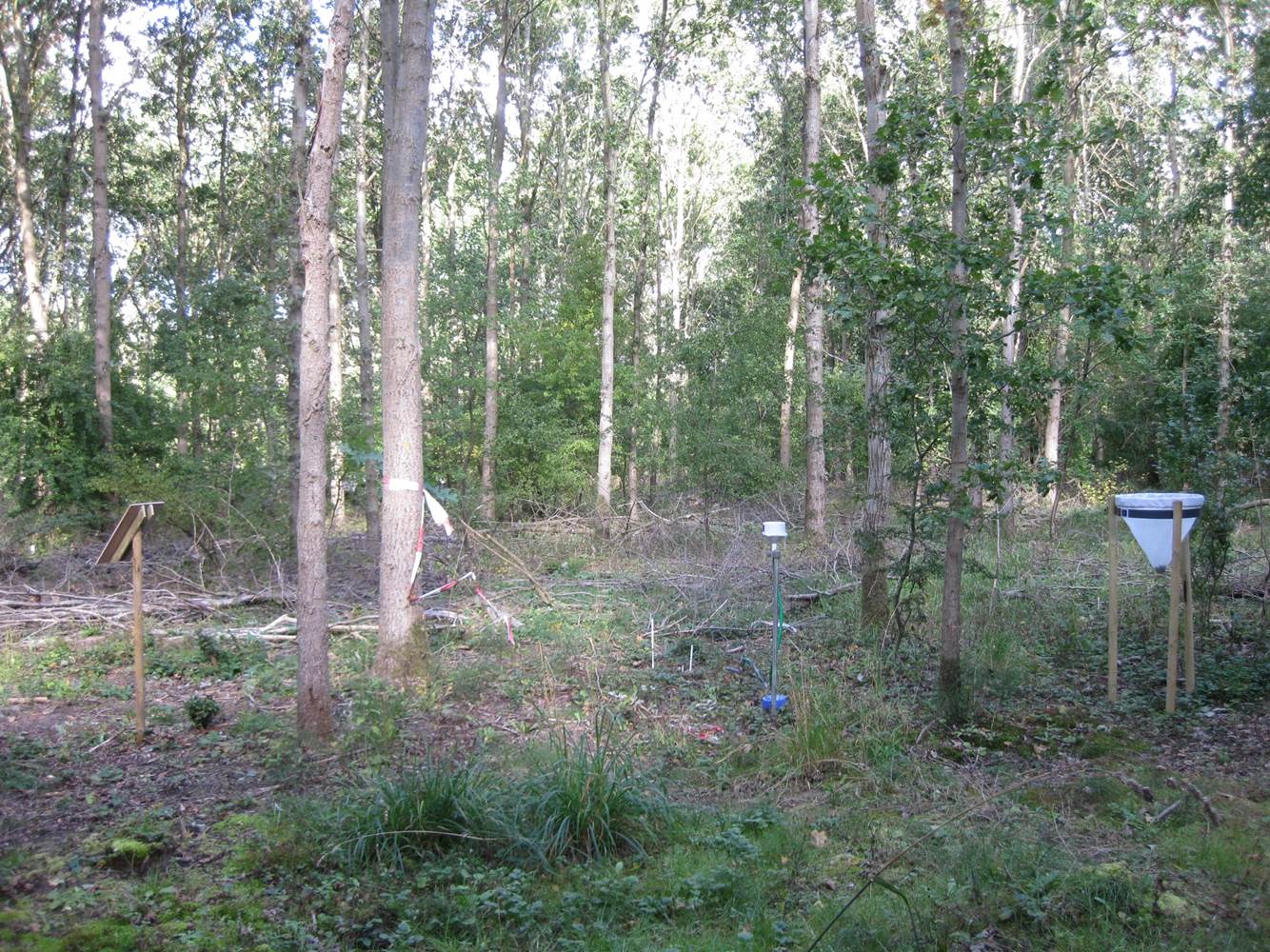
Vestskoven is a 15 km2 ongoing afforestation area located 15 km west of central Copenhagen. Since 1967 arable land has successively been bought up for afforestation in order to establish a large forest area for outdoor activities and wood production. In 1998, afforestation chronosequences in oak (Quercus robur) and Norway spruce (Picea abies) were established as a research platform to quantify soil carbon dynamics, water recharge, nitrogen budgets and ground vegetation species diversity. The soil and grund vegetation species composition were resampled in the chronosequences after 13 years in 2011. Since 2003, an ICP-Forests Level II/Core plot with integrated monitoring under the UN Convention on Long-Range Transboundary Air Pollution (CLRTAP) is placed in an oak stand. Monitoring has developed over time. There is no time limit on the monitoring financed by the Ministry of Environment and Food in Denmark.
-
Suserup Skov (19.2 ha) is an old growth temperate forest dominated by beech Fagus sylvatica, pedunculate oak Quercus robur, ash Fraxinus excelsior, wych elm Ulmus glabra, and black alder Alnus glutinosa, admixed with lime Tilia platyphyllos and sycamore maple Acer pseudoplatanus. KU/IGN-SNB, is a 19,2 ha old-growth beech-dominated mixed deciduous forests on western Zealand owned by Sorø Academy. The forest use dates back to 4200 BC. A conservation act was placed on the forest in 1925 for biological and recreational purposes but allowing a minimum odd felling until the act was updated in 1961 to a non-intervention forest. The forest is unique at European level in terms of nonintervention, and the long-term status as non-intervention forest has led to a unique steady state in biomass and accumulation of dead wood, thus serving as an important reference site for unmanaged temperate deciduous forest development. There are long-term data records of e.g. biomass, dead organic matter, soil, forest structure, flora and fungi starting from 1992. The platform is included in a series of paired managed and non-intervention forests for studies of forest structure, biodiversity and biogeochemistry in mature and old beech-dominated forests. Suserup Forest includes an ICP Forests level II plot (2001-). Upgrades: eLTER master sites: soil moisture content (TDR), remote sensing of growth and forest structure, LAI, NDVI (Lidar, camera), continuous plant phenology (web cam),and insect monitoring (optical sensors) as biodiversity measures, ambient air quality and air pollution.
-
The Hyytiälä SMEAR II site (Station for Measuring Ecosystem-Atmosphere Relations) is situated in the Hyytiälä Forestry Field Station of the University of Helsinki. The site consists is a managed, 60-yr old Scots pine forest stand. The main idea of SMEAR type infrastructures is continuous, comprehensive measurements of fluxes, storages and concentrations in the land ecosystem–atmosphere continuum. The forest measurements are operated continuously since 1996, and include e.g. leaf, stand and ecosystem scale measurements of greenhouse gases, volatile organic compounds, pollutants (e.g. O3, SO2, NOx) and aerosols, in addition to full suite of meteorological measurements. The biogeochemical cycles and vegetation–soil–atmosphere interactions are studied both experimentally and with long-term observations. The site has full carbon, water and nitrogen budgets made over 10 years, and it is a full ICOS ecosystem and atmospheric station. Ecosystem and atmosphere measurements also exist nearby in two open oligotrophic fen sites and a humic lake with forested catchment. Most of the measured data can be retrieved from: https://smear.avaa.csc.fi/