
plant species abundance
Type of resources
Available actions
Topics
Keywords
Contact for the resource
Provided by
Years
Formats
Representation types
-
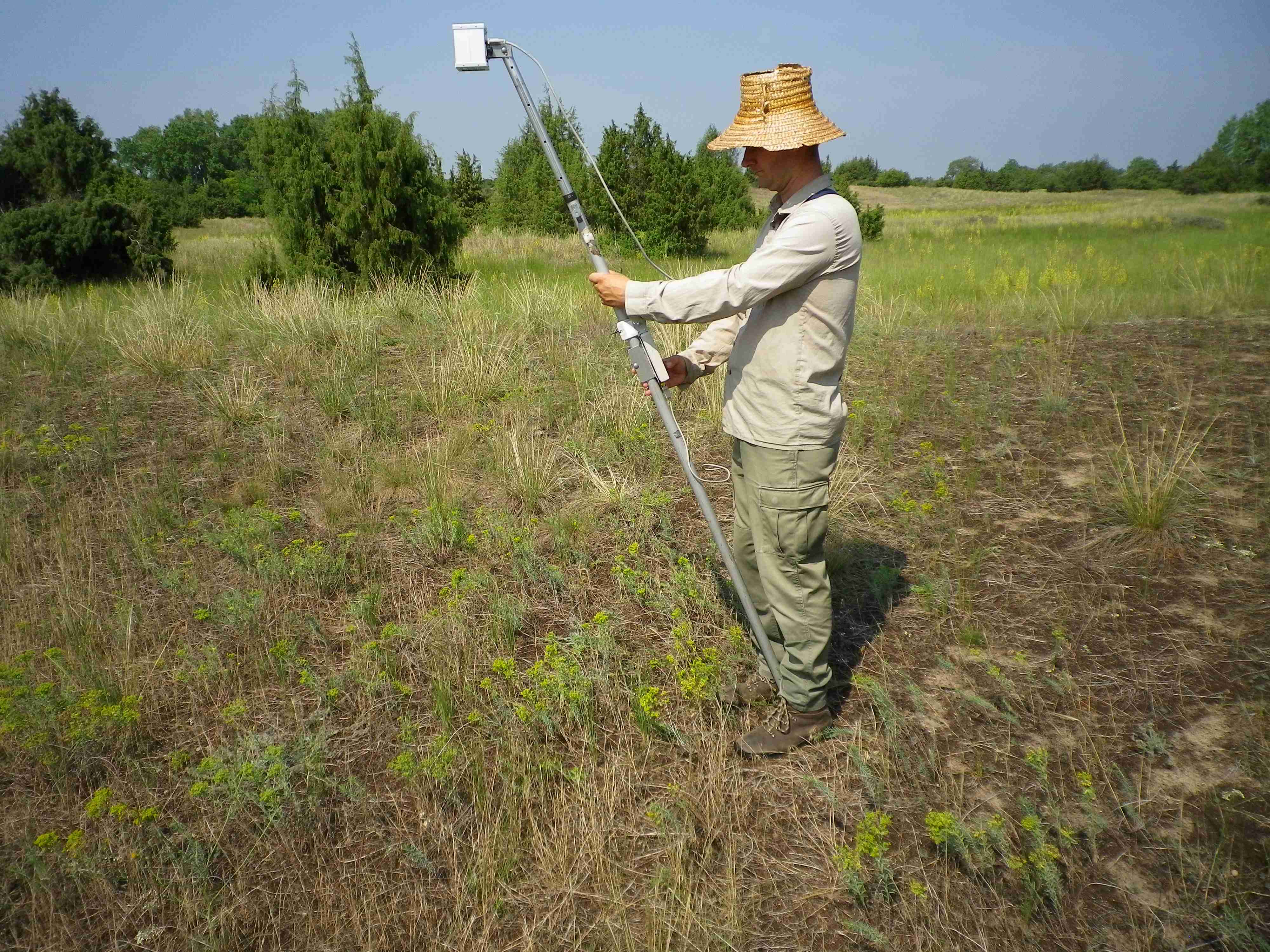
Vegetational surveys have been carried out starting from late summer 2015-2019 in order to assess the site composition. The interpretation of vegetational data will be carried out taking into account the soil nutrients status.
-
Vegetational surveys have been carried out starting from late summer 2015 in order to assess the site composition. The interpretation of vegetational data will be carried out taking into account the soil nutrients status.
-
Orgovany-Agasegyhaza site for studying production-diversity relations and weather effect of productivity.
-
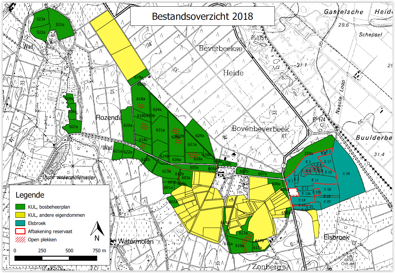
Beverbeek is a complex site consisting of areas with a primary conservation purpose as the two gazetted nature reserves Elsbroek (mesotrophic and oligotrophic mire with alder-birch woodland, Myrica bush) and Zooren (alluvial plain forest). Other parts are multifunctional forests with scots pine, corsican black pine, oak, larch, douglas fir, etc.
-
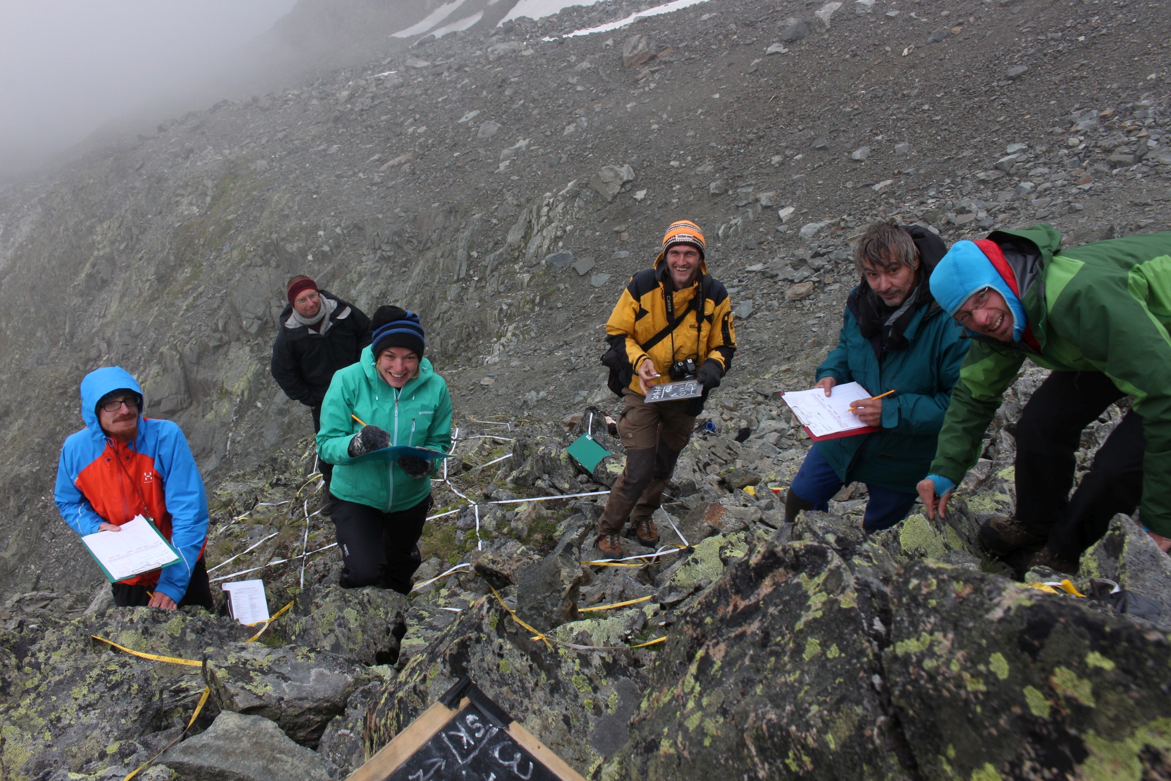
GLORIA Master Site.The 3497m-peak Mount Schrankogel belongs to the highest mountains of the Austrian Alps. Its northern and eastern side is surrounded by glaciers and glacier forelands. Its southern to western faces, however, are not interrupted by glacier Established in 1994 as the first comprehensive alpine to nival long-term monitoring site for high-altitude vegetation in the Alps, with ca. 1000 permanent plots of 1x1m arranged in transects of 30x3m or smaller ranging from 2900m to 3450m. Main purpose is ecological climate impact research. In 2001 it became a master site of the GLORIA network: e.g. method development and testing for species recording in 1x1m plots for GLORIA was partly conducted on Schrankogel. The first major resurvey of plots was made in 2004, the second resurvey was conducted in 2014. Besides long-term monitoring, several other research approaches were/are carried out at the Schrankogel site, such as species and vegetation modeling, vegetation mapping, phenological studies of alpine and nival plants, exclosure studies for grazing impacts at the lower altitudes of the site, soil studies, snow pattern studies (two permanent snow cameras), surface and soil-temperature measurements. In 2014, the the scope was extended to other organism groups such as soil microbiota, soil mesofauna (Oribatida and Collembola in particular), and surface-dwelling arthropods. Site setup, resurveys, or other activities were/are supported by: the Austrian Academy of Sciences through a national grant of the International Geosphere–Biosphere and the UNESCO MaB Programmes, by the Austrian and through the Institute of Mountain Research (IGF) of the Academy; by the Austrian Federal Ministry of Science and Research; the Austrian Federal Ministry of Agriculture, Forestry, Environment and Water Management; the Swiss MAVA Foundation; the Government of Tyrol; the project ALARM (Assessing Large-Scale Risks for Biodiversity with Tested Methods; No. GOCE-CT-2003-506675) in the FP-6 of the EU; the Austrian Climate Research Programme (ACRP: GZ B368633 ACRP6 - SCHRANKOGEL_20YEARS - KR13AC6K11076). For further details on Schrankogel_GLORIA see: http://www.gloria.ac.at/?a=42&b=56
-
UK Upland Waters Monitoring Network (UK UWMN) site. Loch Coire Fionnaraich has a catchment of 550 ha, with a range of elevation from 236 m at the outflow to 933 m at the summit of Maol Chean-dearg. Whilst a band of Cambrian basal quartzite and "Pipe Rock" crosses beneath the northern side of the loch, the catchment geology is mostly made up of Torridonian sandstones from the Applecross and Aultbea groups. Catchment soils consist of peats and peaty podsols alongside extensive areas of exposed rock. Vegetation is dominated by Molinia and Calluna and the catchment is treeless. The surrounding moorland is managed for red deer and low numbers of feral goats are also present. A popular hiking path passes along the western shore of the loch. There are a number of very small lochans and pools on the catchment's northern boundary and one more in the north-west.
-
UK Upland Waters Monitoring Network (UK UWMN) site. Named Lochan a' Cheaird on historic maps, Loch Tinker lies at 418 m altitude and drains an adjacent catchment to the east of Loch Chon in the Trossachs region of central Scotland. The loch receives drainage from seepage through the catchment blanket peats and from the steep slopes to the south and east, although the main stream in this area is naturally captured just a few metres downstream of the loch outflow. The loch drains to the north east via the Allt Glasahoile which falls steeply to Loch Katrine. The loch (surface area 11.1 ha) has an irregular shoreline and the generally shallow (mean depth 3.5 m) bathymetry includes two distinct sub-basins reaching a maximum depth of 9.8 m. Three small islands are located towards the southern end of the loch. Some data managed by UK ECN Data Centre. Note: The area is the size of the catchment.
-
UK Upland Waters Monitoring Network (UK UWMN) site. Loch Chon is a relatively large (surface area 105.7 ha) lake lying at an altitude of 92 m in the Trossachs region of central Scotland. The loch is fed by several small streams and drains to the south via Loch Ard and the River Forth. The loch has two main basins, with the deepest area (25 m) represented by a trench near the western shore. The bathymetry was first surveyed by Murray and Pullar in 1910. Some data managed by UK ECN Data Centre. Note: The area is the size of the catchment. The lake area is 106 ha
-
UK Upland Waters Monitoring Network (UK UWMN) site. The site lies at 298 m altitude in the Galloway region of south-west Scotland. The loch is 12.7 ha in area and receives drainage from minor streams and catchment blanket peats. The outflow drains to the south-west into the Glenhead Burn and Loch Trool. The loch bathymetry indicates a single deep basin (maximum depth 13.5 m) offset to the south with slopes rising gently away from the southern shore. An island is located just off the western shore some 250 m from the outflow. Some data are managed by UK ECN Data Centre. Note: The area is the size of the catchment.
-
UK Upland Waters Monitoring Network (UK UWMN) site. Blue Lough is a small (1.9 ha) circular lake lying at 340 m altitude. The lough has no discrete inflow and drains through a Sphagnum bog to a tributary of the Annalong River. The bathymetry reveals a shallow concentric basin offset to the east, with a maximum depth of 5 m. Blue Lough is situated in a col between the Silent Valley and Annalong Valley in the Mourne Mountains of south-eastern Northern Ireland, very close to Bencrom River. The catchment is small (48 ha), but is steep and rugged, reaching a maximum altitude of 703 m. The solid geology of the catchment consists of granite which is exposed as bare rock and scree on the steep backwall and is covered with thin and often eroded blanket peat, peaty podsols and peaty gleys in the less steep areas. Bare rock, scree and eroded peat characterise the catchment, but elsewhere the vegetation is dominated by Calluna which in places is mature and in others has been intensively burnt. Land-use and management is restricted to low-intensity sheep grazing and occasional heather burning. Annual rainfall is c. 1600 mm. Some data are managed by UK ECN Data Centre. Note: The area is the size of the catchment.