
plant species richness
Type of resources
Available actions
Topics
Keywords
Contact for the resource
Provided by
Years
Formats
Representation types
-
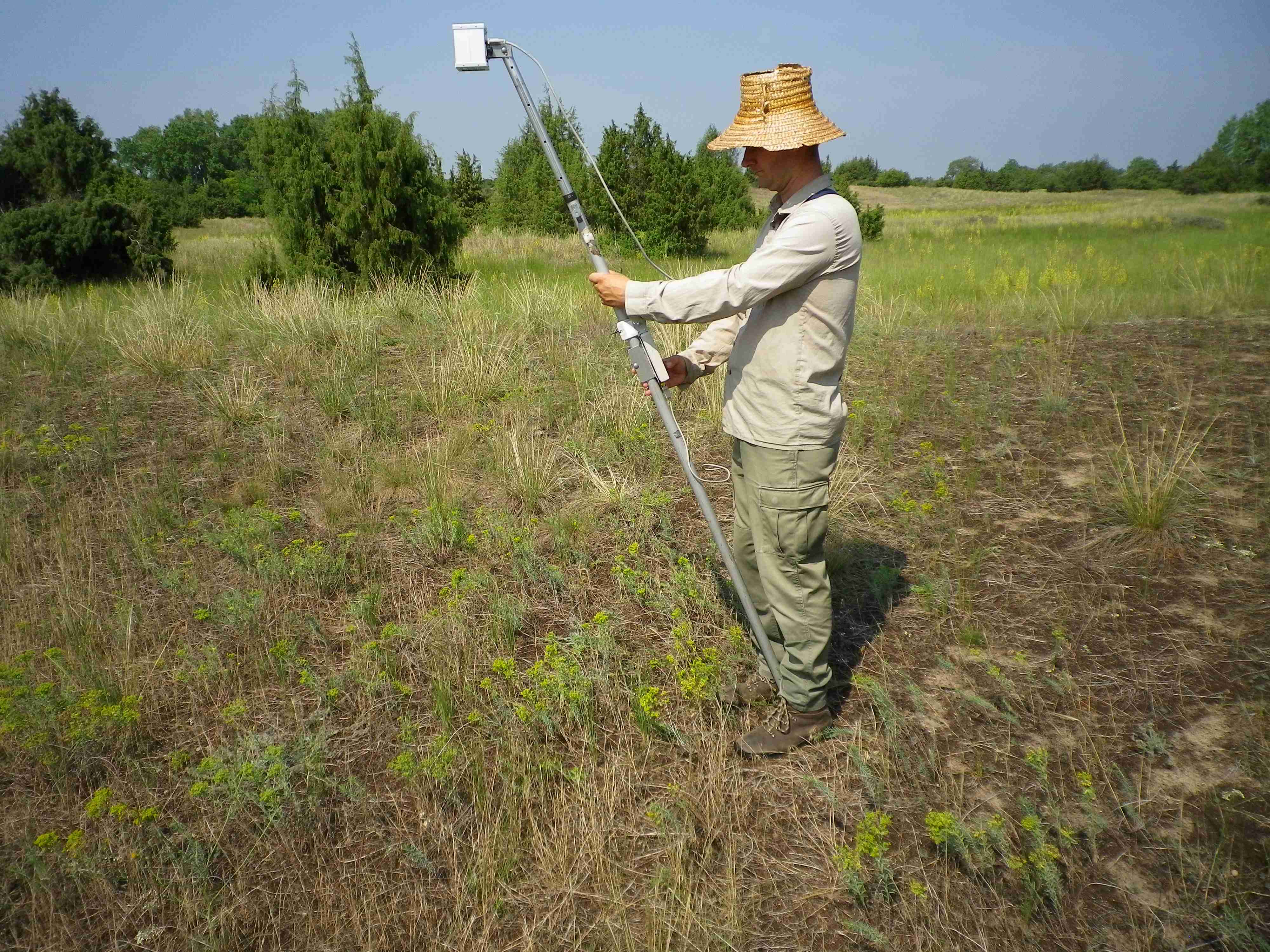
Orgovany-Agasegyhaza site for studying production-diversity relations and weather effect of productivity.
-
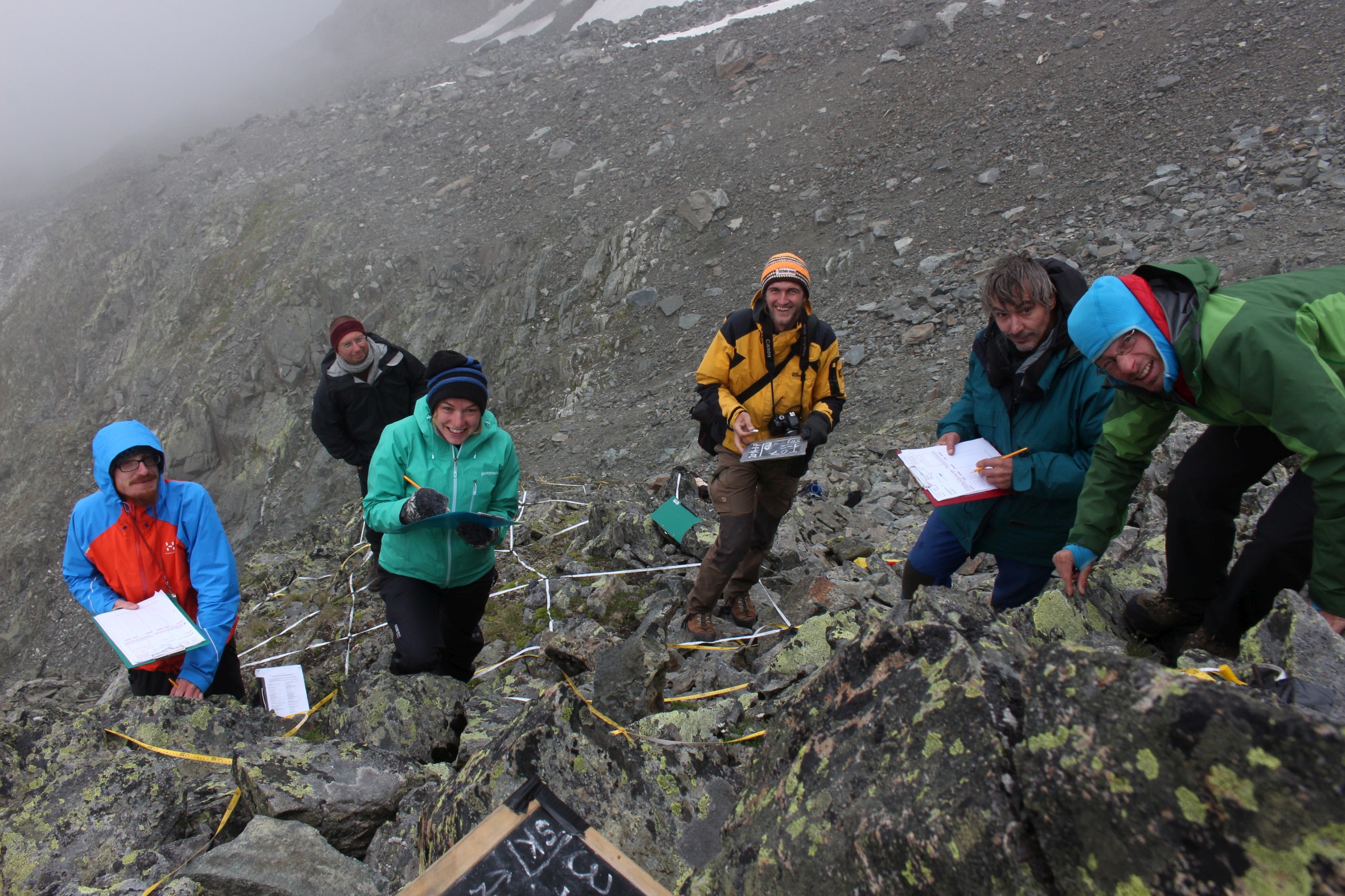
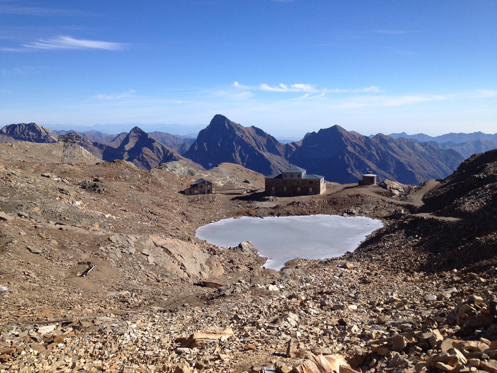
GLORIA Master Site.The 3497m-peak Mount Schrankogel belongs to the highest mountains of the Austrian Alps. Its northern and eastern side is surrounded by glaciers and glacier forelands. Its southern to western faces, however, are not interrupted by glacier Established in 1994 as the first comprehensive alpine to nival long-term monitoring site for high-altitude vegetation in the Alps, with ca. 1000 permanent plots of 1x1m arranged in transects of 30x3m or smaller ranging from 2900m to 3450m. Main purpose is ecological climate impact research. In 2001 it became a master site of the GLORIA network: e.g. method development and testing for species recording in 1x1m plots for GLORIA was partly conducted on Schrankogel. The first major resurvey of plots was made in 2004, the second resurvey was conducted in 2014. Besides long-term monitoring, several other research approaches were/are carried out at the Schrankogel site, such as species and vegetation modeling, vegetation mapping, phenological studies of alpine and nival plants, exclosure studies for grazing impacts at the lower altitudes of the site, soil studies, snow pattern studies (two permanent snow cameras), surface and soil-temperature measurements. In 2014, the the scope was extended to other organism groups such as soil microbiota, soil mesofauna (Oribatida and Collembola in particular), and surface-dwelling arthropods. Site setup, resurveys, or other activities were/are supported by: the Austrian Academy of Sciences through a national grant of the International Geosphere–Biosphere and the UNESCO MaB Programmes, by the Austrian and through the Institute of Mountain Research (IGF) of the Academy; by the Austrian Federal Ministry of Science and Research; the Austrian Federal Ministry of Agriculture, Forestry, Environment and Water Management; the Swiss MAVA Foundation; the Government of Tyrol; the project ALARM (Assessing Large-Scale Risks for Biodiversity with Tested Methods; No. GOCE-CT-2003-506675) in the FP-6 of the EU; the Austrian Climate Research Programme (ACRP: GZ B368633 ACRP6 - SCHRANKOGEL_20YEARS - KR13AC6K11076). For further details on Schrankogel_GLORIA see: http://www.gloria.ac.at/?a=42&b=56
-
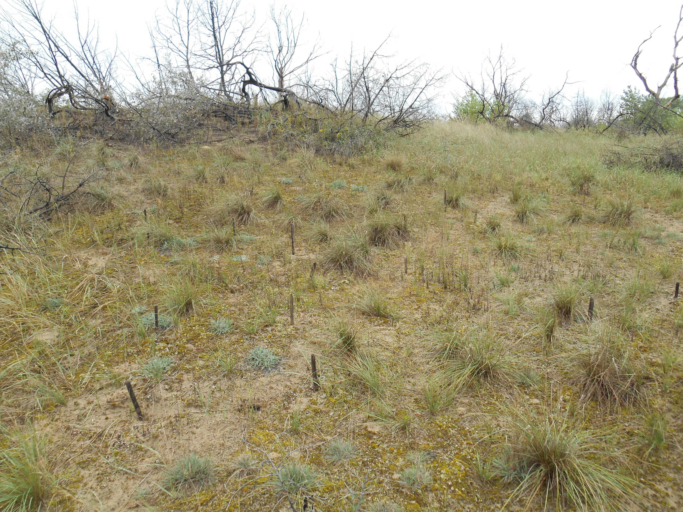
3 sites with 10 ha altogether; follow the long-term changes on sand steppe gaps of juniper-poplar forest in order to study the effect of fire
-
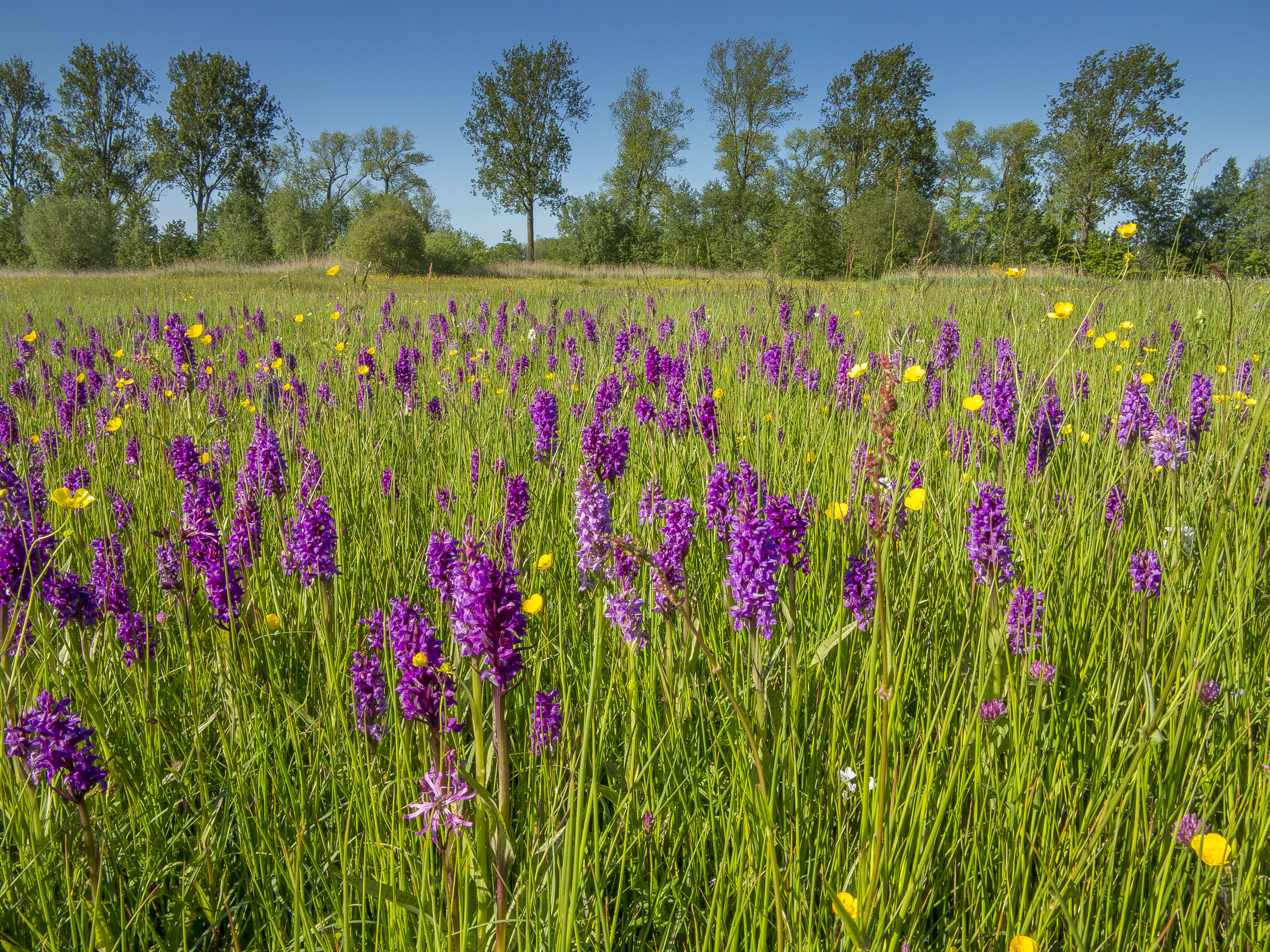
Fen meadow and transition mire nature reserve
-
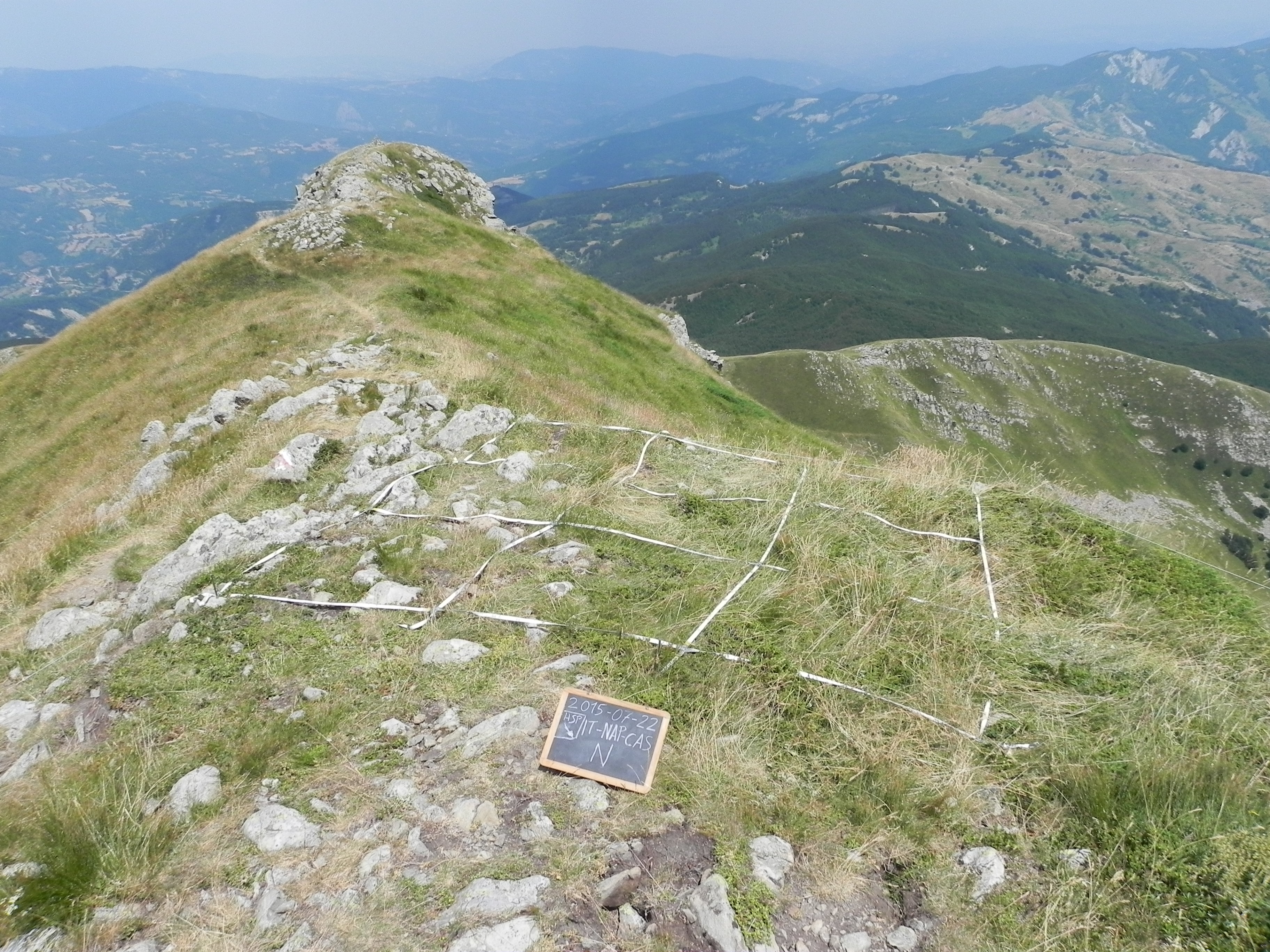
The site consists of “orographic islands” with high elevation vegetation in central Mediterranean basin, along the Apennines mountain range, within the Appennino Tosco-Emiliano National park and partially in the Appennino Modenese Regional park. It includes 64 permanent plots for plant species monitoring, distributed from timberline zone to the subalpine/alpine belt (1722-2000 m), that belong to the GLORIA project’s world network (GLobal Observation Research Initiative in Alpine ecosystems); The plots lie at the top of four summits, displayed along an altitudinal gradient, chosen following the GLORIA Target Region selection criteria. Furthermore, other 26 permanent plots, detached from the GLORIA project, have been settled on mount Prado. The observation and the long-term monitoring of vegetation and alpine plant species population started in 1999. The collection of soil temperature and osmotic potential started in 2001 and 2013, respectively. The site is resurveyed regularly to collect vegetation data (in term of presence/absence and coverage) and climatic data (temperature and osmotic potential data series recorded every 30 minutes by data loggers) in order to assess impacts of climate change on plant communities and single plant species of interest.
-
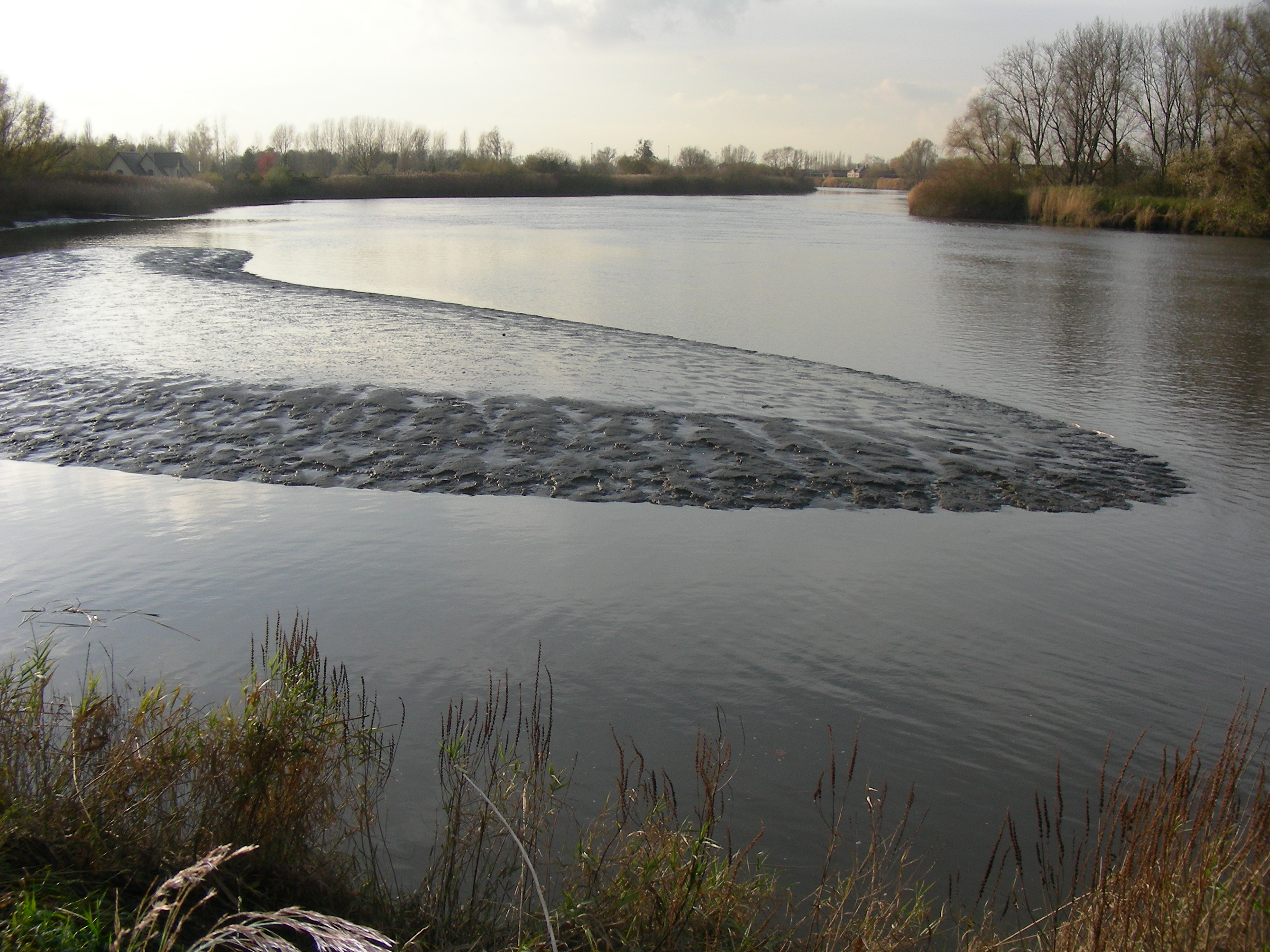
The study site starts at the mouth of the river (Vlissingen, the Netherlands) and extends to Gent, 160 km from the mouth, where tidal influence is stopped by sluices. The tributaries the Durme and the Rupel, with the Nete , Dijle and Zenne are also under tidal influence and are considered part of the estuary. The natural inundated areas around the river and the valleys up to 5m TAW are also part of the study system.
-
The "Istituto Scientifico Angelo Mosso" research site is located on the watershed between Piedmont and Valle d'Aosta (NW-Italy), in the Municipality of Alagna Valsesia (Monte Rosa massif). The Scientific Laboratories of the "Angelo Mosso Institute" at Col d’Olen (2901 m a.s.l.), the heart of this research site, were built between 1905 and 1907, when it became clear that the Capanna Regina Margherita on Monte Rosa (4554 m a.s.l.), as a high-elevation research centre, had become insufficient to the increasing number of requests for use by the international scientific community. From here the idea promoted by Angelo Mosso (1846-1910), professor of human physiology at the University of Turin, to add an additional structure to the Observatory of the Capanna Regina Margherita for make larger laboratories available to researchers and allow study stays at high elevation. This project soon became a reality thanks to the intervention of Queen Regina Margherita, Ministries of Education and Agriculture, the Italian Alpine Club and various personalities of the time. The research conducted at the Institute did not concern only human physiology, but also other disciplines, including alpine meteorology and glaciology, thanks also to the presence of the Meteorological Observatory that flanked the Institute, directed in the years 1925-40 by Umberto Monterin. It is now home to an automatic snow and weather station, managed by the Alpine Troops-Meteomont service. In addition to the University of Turin, the research groups that operate at the site and contribute to data collection and implementation are currently CNR-IRSA, Alpine Troops Command-Service Meteomont, Monterosa 2000 SpA and Monterosa SpA (Monterosa Ski), Protected areas of Valsesia, ARPA Piemonte, ARPA Valle d'Aosta and Sesia Val Grande Geopark. In addition to the valuable historical series of climate data, a series of research activities are devoted to the study of snow-soil-vegetation interactions, with particular reference to carbon dynamics e soil nitrogen (Magnani et al. 2017a,b; Freppaz et al. 2019). In addition, investigations are performed focusing on the chemical characteristics of high-elevation surface waters, fed by different cryospheric features such as rock glaciers, glaciers, and permafrost (Colombo et al. 2018a,b; 2019a,b; 2020; Vione et al., 2021). New research lines, aimed at investigating the most recent environmental challenges, have been added to the previous ones. For instance, investigations on sources and routes of atmospheric carbon and nitrogen species are ongoing. References: Colombo N. et al. (2018a), https://doi.org/10.1002/esp.4257. Colombo N. et al. (2018b), https://doi.org/10.1016/j.scitotenv.2018.05.098. Colombo N. et al. (2019a), https://doi.org/10.1016/j.scitotenv.2019.06.233. Colombo N. et al. (2019b), https://doi.org/10.1007/s00027-019-0670-z. Colombo N. et al. (2020), https://doi.org/10.1016/j.catena.2020.104700. Freppaz M. et al. (2019), https://doi.org/10.3897/natureconservation.34.30737. Magnani A. et al. (2017a), https://doi.org/10.1657/AAAR0016-037. Magnani A. et al. (2017b), https://doi.org/10.1016/j.catena.2017.03.007. Vione D. et al. (2021), https://doi.org/10.1016/j.scitotenv.2020.143464.
-
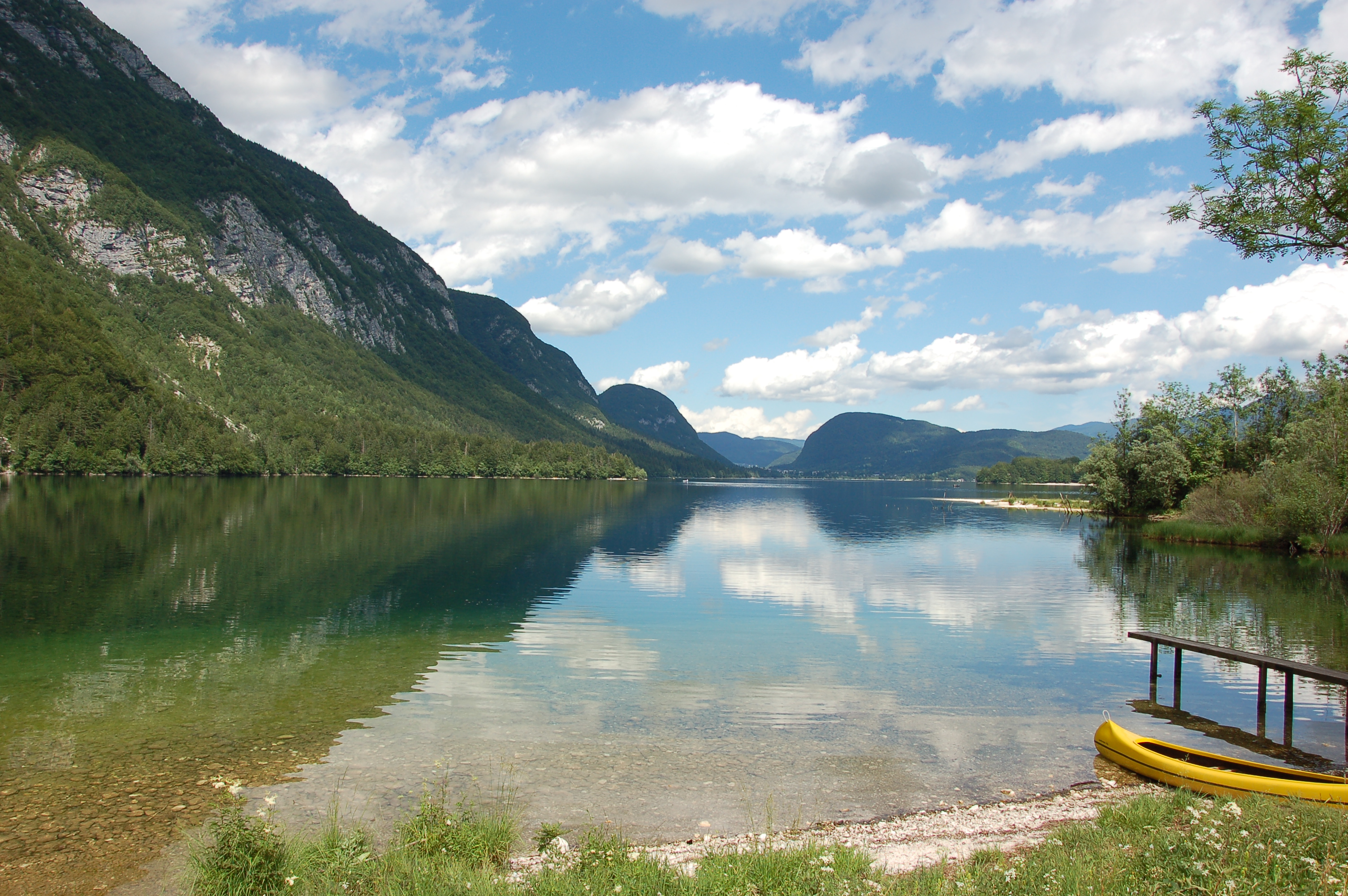
Lake Bohinj is of tectonic-glacial origin and was transformed by the Bohinj glacier. Its surface area is 3.28 km 2 , its volumeWeather conditions and chlorophyll concentrations determine long-term macrophyte community dynamics of Lake...92.5 × 10 6 m 3 and its maximum depth 45 m. It is located at an altitude of 525 m a.s.l. and issurrounded by mountains that are up to 2000 m high. Lake Bohinj is conditioned by the main inflow from River Savica and by several karst springs from the base of Mount Komarča and has a single outflow, River Sava Bohinjka. The residence time of the water in Lake Bohinj is about 4 months, which means that the total volume of the water in Lake Bohinj changes three times a year. The surrounding watershed comprises around 94.3 km2 and is mostly uninhabited, with a large portion extending above the tree line; therefore, the input of nutrients into Lake Bohinj is moderate. This watershed receives about 3300 mm of rainfall a year. Long-term temper-atures show a tendency to a rise. In winter, usually in January, the surface water cools and the lake can be frozen over. From 1961 to 1990, Lake Bohinj was frozen over for a mean of > 50 days/year, while in the decade from 1991 to 2000, the mean number of days with ice cover was reduced to 31 days/year. Since 1990, the lake did not freeze completely in individual years. The majority of the lake catchment area consists of carbon-ate rock, and therefore, the main lake sediment fraction is carbonate, while quartz and feldspar represent a minor part.
-
None
-
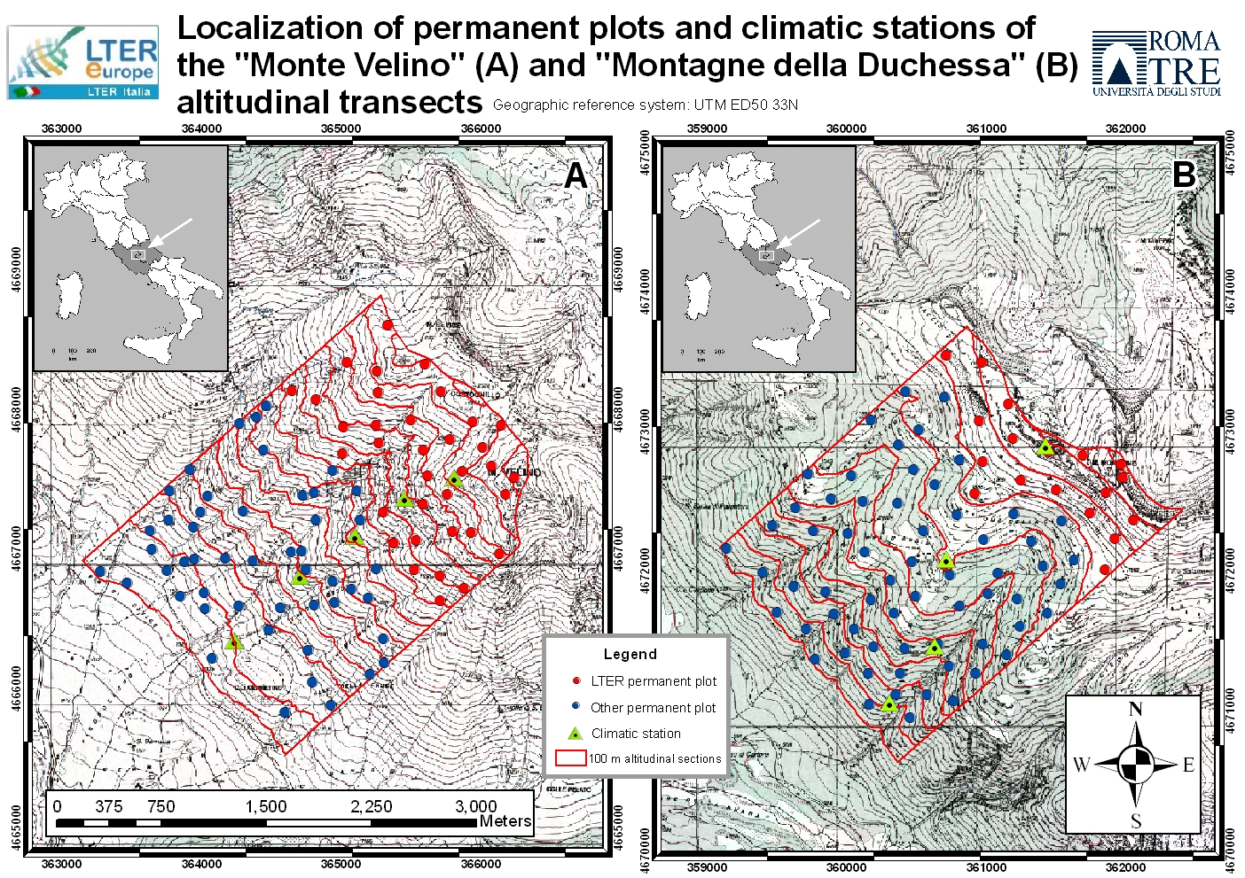
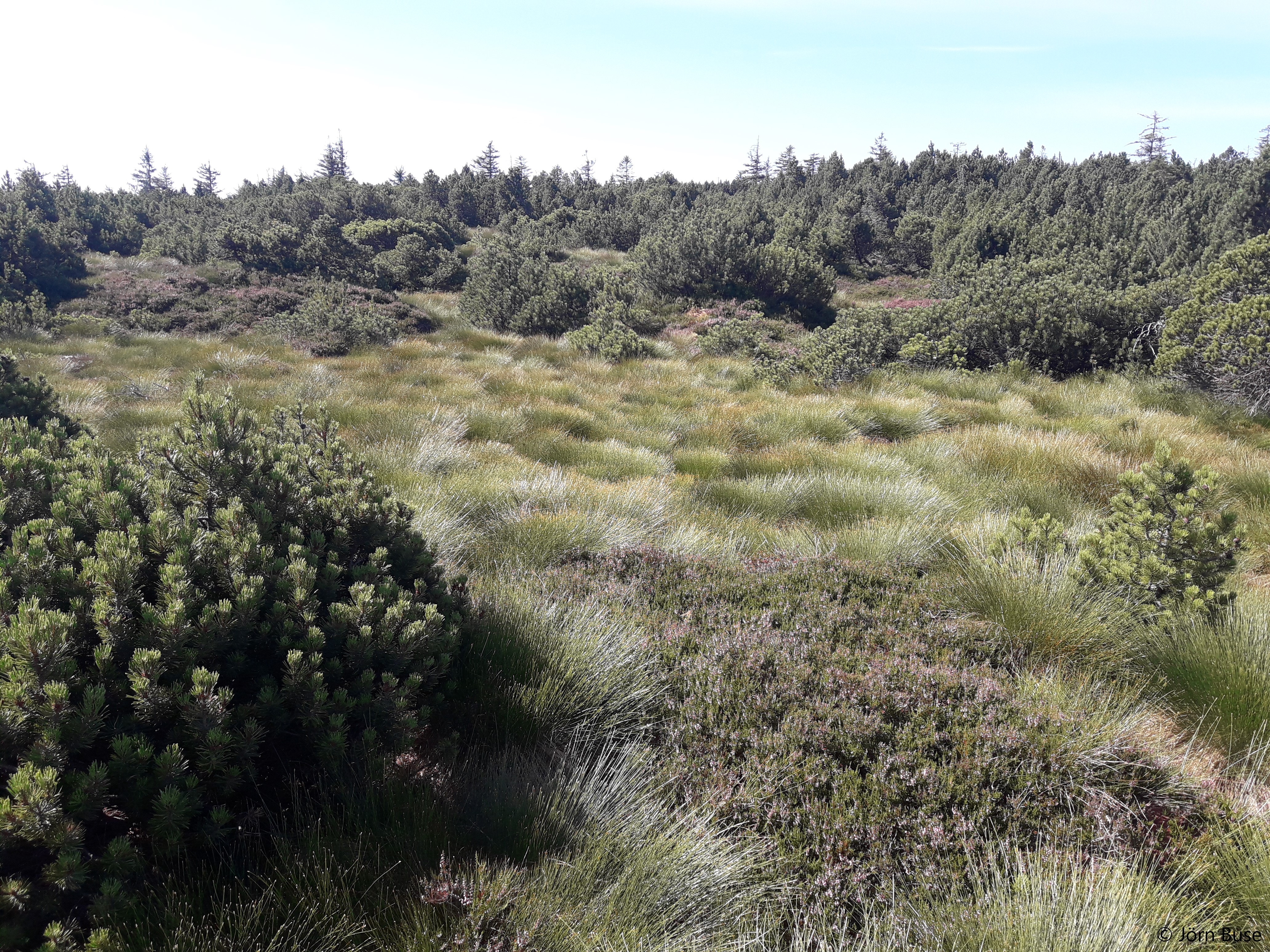
The site includes a large mountainous area in the Central Apennines, almost in the centre of the Italian peninsula and about 70 km west of Rome. It represents an “orographic island” in the Central Mediterranean basin, along the Apennines mountain range. Since 1993, the vegetation has been surveyed at six permanent high elevation plots (Mount Sevice research station, Mount Velino, 2125-2225 m a.s.l.) and (since 2005) at an additional 55 plots along two elevation transects (SW slope of Mount Velino and Mount Morrone), including primary and secondary grasslands, beech forests and alpine tundra. Since 2014, micro-climate data (GLORIA method) have been continuously recorded at the high elevation plots. Vegetation is surveyed yearly in the 6 high elevation plots (each 100 m2 in size) grouped in two cluster-plots (each of 3 plots). Structure and composition changes are studied in two ecologically opposite primary plant communities, both above the timberline: snow-bed grassland and alpine tundra, both characterized by extreme below zero temperatures all year round and frozen soil for 8 months per year, but with very different snow cover duration. Based on the first 30 years of observation, a clear trend toward a decrease of snow dependant species and a parallel increase in drought- and stress-tolerant species has been recognized, linked to a general process of climate change, more accelerated in Southern Europe.