
population density
Type of resources
Available actions
Topics
Keywords
Contact for the resource
Provided by
Years
Formats
Representation types
-
PELD-TMSG: Cerrado ecosystems in the region of the Triângulo Mineiro and Southeast of Goiás - Brazil
The site consists of 13 Cerrado fragments formed by five conservation areas and 8 remants of semideciduous forests. All these areas are within the basin of the Rio Paranaiba and thus share similar ecological conditions. These areas have similar human interference processes with already traditional agricultural use, impacts of hydroelectric facilities and recent intensification of the urbanization process.
-
The study of the plankton cyst bank from the Mar Piccolo of Taranto started in 1996 and is still ongoing. Different stations located in the two sub-basins basin are intermittently sampled, collecting surface sediments for cyst analysis. The identification of more than 100 different morphotypes was performed over the years.
-
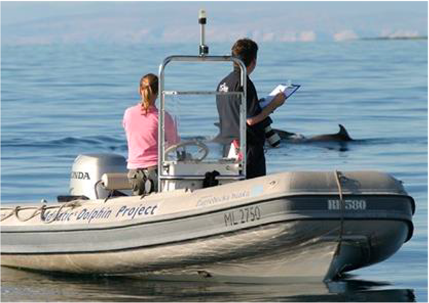
Large marine site located in the Kvarnerić area, around the sheltered coast and waters of the eastern part of the Lošinj and Cres archipelago. It is one of the most important feeding and breeding areas for bottlenose dolphins (Tursiops truncatus) in the Eastern Adriatic. Lithostratigraphic units represented on the coast are dolomites and post sedimentary diagenetic breccia (upper albian, lower cenomanian - K16, K12), rudist limestones (cenomanianmaastricht - K21-6). Soils on the coast are rockyground, anthropogenic soil on karst. The area was created after the transgression of the sea after the last glaciation; marine shelf; highly indented coastline. In July 2006 of preventive protection of a part of the Kvarnerić region for 3 years as a Special Marine Reserve (Cres-Lošinj Special Marine Reserve – CLSMR has been declared.
-
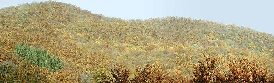
Central Europe maintains a considerable diversity of dry-mesic oak forests as the main representatives of zonal forest vegetation types in Hungary, covering the major part of foothills of the middle-range mountain, Inner Western Carpathians. The 669 m high, Triassic limestone hill called ‘Vár-hegy’ belongs to the Bükk Mountains. The annual mean temperature is about 8◦C and the annual precipitation is about 650 mm. The core area of the reserve (94 ha) is covered mainly by close-to-nature. long untouched oak dominated forests stands: Pannonic woods with Quercus petraea and Carpinus betulus; Pannonian-Balkanic Turkey oak-sessile oak forests; Pannonian woods with Quercus pubescens. It has been set aside for preservation in 1991, though several previous conservation acts had already secured almost spontaneous natural development of the stands. Most of the area was cut around 1880, however, several over-mature trees were retained. The intensive use in the previous centuries and during the world wars left a sessile oak dominated, 120-130-year-old, mostly coppice forest. The abandonment and the precedent severe oak decline contributed to generate a more diverse forest composition and structure developing towards a mixed forest with pronounced ‘old-growth’ characteristics.
-
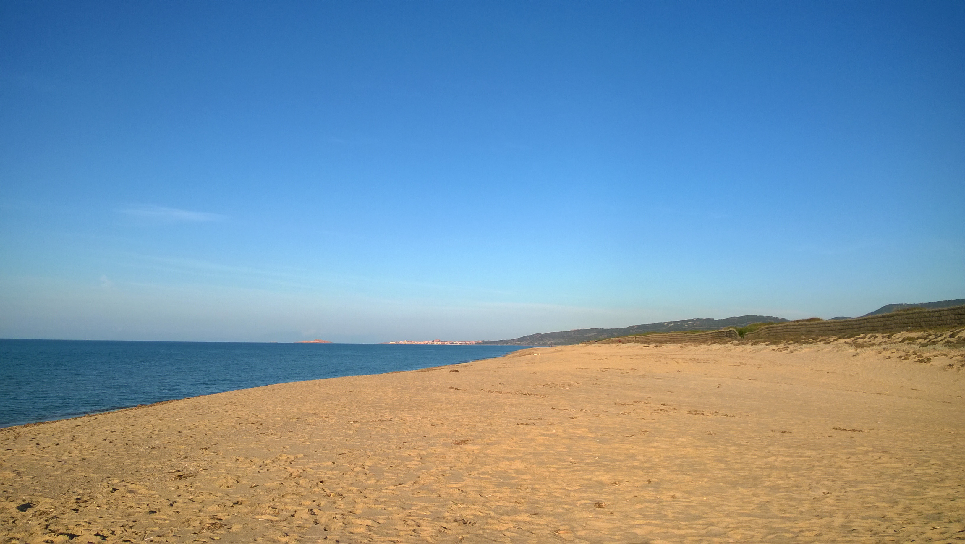
The site is divided into two different types of environments: 1. Coastal marine environments. Marine coastal areas of Sardinia, in particular, the Gulf of Asinara in the north and the Gulf of Olbia in the north-east, affected by different types and intensities of human impact and by the resulting presence of different environmental conditions from the point of view of water quality. 2. Lagoons and coastal ponds. Lagoons and coastal ponds located along the west-central coast of Sardinia, in the Gulf of Oristano. These sites are all important wetlands included in the Ramsar Convention, are IBA (Important Birds Area) and SIC and ZPS. The ownership of the sites is the Regional Government of Sardinia. Fisheries and aquaculture are generally the most important human activities, and there are also educational and recreational activities. They are affected by various environmental issues, mostly related to the process eutrophic.
-
The Neusiedler See - Seewinkel National Park is the first cross-border National Park in Austria and the first Austrian National Park recognised by the IUCN. It covers in total about 90km² on Austrian territory. About 50% of the area (about 4500 ha) is a Nature Reserve Zone, which remains untouched by humans. This zone is dominated by the southernmost Austrian part of the reed belt from Lake Neusiedl. The Conservation Zones are mainly cultural landscapes and require landscape conservation measures and habitat management like pasturing, mowing, cutting reed or water retention. These measures are taken to preserve the cultural landscape and its biodiversity that has developed over centuries. Important habitats like 160 km² of reed belt and around 40 periodically dry soda lakes, as well as sand habitats, dry and wet meadows can be found closely associated with vineyards, cropland, touristic infrastructure and rural settlements. Long-term monitoring programs regarding bird populations, fish ecology or the grazing management enable the cross-border National Park Neusiedler See - Seewinkel to provide biological data from flora and fauna. Furthermore, all soda lakes are monitored frequently regarding salinity, oxygen, temperature, color etc. and biological parameters such as species diversity and quantity of macrozoobenthos. Due to the mosaique of protected and non-protected areas, the boundaries of the National Park area are difficult to define on the shown map.
-
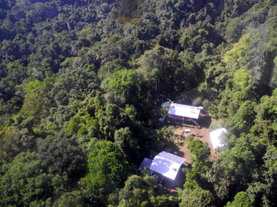
The site comprises 10,000 ha of pristine lowland rainforest in northern Papua New Guinea, owned by indigenous landowners from Wanang Village and declared as Conservation Area. The forest has >500 species of woody plants and largely intact, mildly hunted vertebrate communities. The site includes a field research station (phone, radio, accommodation, catering, solar power) accessible on foot or by helicopter. Further, the site has 50-ha forest dynamics plot from the Center for Tropical Forest Science network, with >300,000 stems tagged and monitored from 2012. There is significant background information on plants, birds, frogs, and several insect taxa. Insect monitoring programme is planned from 2013.
-
South-West Bulgaria, Mediterranean catchment
-
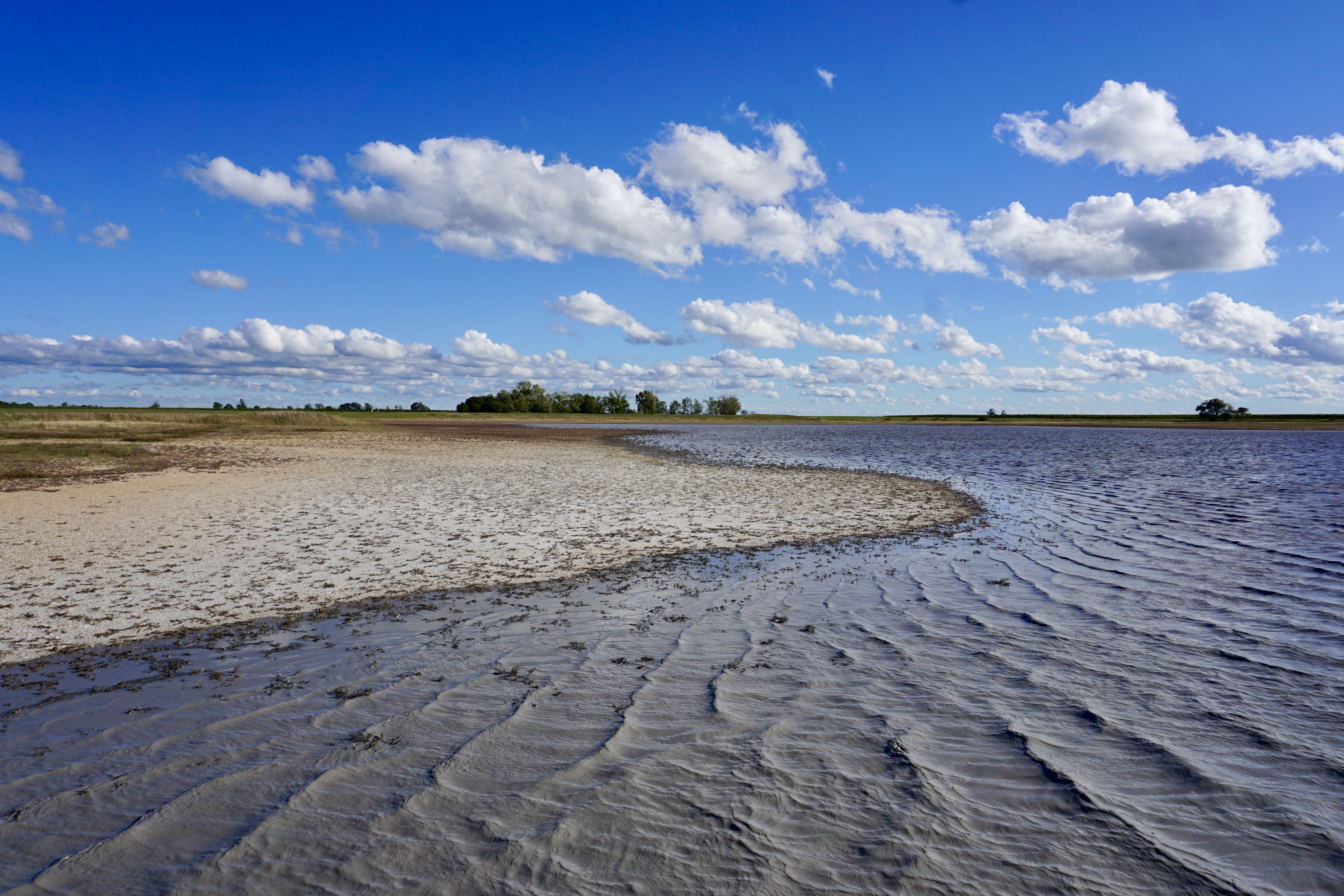
Bidighinzu Lake is a warm monomitic and hypereutrophic reservoir located in northwestern Sardinia at 334 m a.s.l. Built in 1956, it is mainly used for drinking water for a population of about 160,000 users. Bidighinzu Lake covers a surface area of 1.7 × 10⁶ m² and has a maximum volume of 12.2×10⁶ m³ and a mean depth of 7.3 m. According to ECOSTAT, it belongs to the LM7 category (altitudes <800 m a.s.l., mean depths >15 m, conductivity <2.5 mS cm−1). Its watershed has a surface area of 52 km² with a geological substrate consisting of basalt, limestone, and shale. The supplies of water from the catchment to the lake are insufficient to make up for the losses and human demands. Consequently, the lake receives additional water from Temo Lake and Rio Mannu-Su Tulis river lock, localized in different watersheds. Problems of potabilization have arisen since the early years of the reservoir’s use, particularly in summer-autumn, because of hypolimnic deoxygenation and the excessive presence of algae in the epilimnion. To face this situation, different restoration actions were carried out in Bidighinzu Lake. Among the most important: the installation in 1966 of an aeration system in the area around the water intake tower and in 1987 the reduction of nutrient loads from the watershed by the diversion of civil and industrial wastewater downstream of the dam. A comparison among data collected from just before to about 10 years after this last action the site did not show any improvement in the trophic status. Since 2006, the lake is managed by the Sardinia Water Authority (ENAS) and is part of LTER-Italy. The site has real-time remote monitoring station equipped with a multiparameter probe housed on floating platform. The main scientific purposes at present concern the relationships between trophic status, abundance of cyanobacteria and the presence of toxins; the assessment of climate change and local factors on the phytoplankton dynamics; the development of territorial indicators related to the trophic conditions based on the land cover and use of catchment areas. Recently in Lake Bidighinzu it was conducted an experimental activity, with an aeration system with micro-bubbles. The aim was to maintain sufficient oxygen in the hypolimnetic waters, especially in the summer months, in order to improve the purification process, prevent phosphorus release from sediments and mitigate eutrophication. Available data sets include information on phytoplankton and limnological variables since the last 70.
-
Socio-ecological interactions in ecosystems of mid-altitude mountains The LTSER Zone Atelier Arc Jurassien belongs to LTER-France network and is located in eastern France.The LTSER site Jurassian Arc (ZAAJ stands for Zone atelier Arc jurassien, in French) is designed to promote long-term interdisciplinary research into the environment and ecosystems in relation to society issues. It federates a network of research partnerships around interactions between the environment, society and the dynamics of moutain socio-ecological systems.ZAAJ helps to capitalise on field data and to analyze and promote the results from long-term observation schemes at the interface between ecology, the environment and society. Benefiting of more than 25 years of experience on the issue, accredited by the CNRS Ecology and Environment Institute (INEE) in 2013, ZAAJ is a cluster of five research units totalling 40 researchers.