
population size
Type of resources
Available actions
Topics
Keywords
Contact for the resource
Provided by
Years
Formats
Representation types
-
In Doñana both wild and domestic ungulates are present. Livestock (cows, horses, sheep) is controlled by the Park Management authority (Regional Ministry of Environment) through direct counts conducted each month and by sanitary control of cattle (tuberculosis) that is mandatory. EBD-CSIC collects data on wild ungulates (wild boar, red deer and fallow deer) through seasonal (winter, spring and late summer) line transect counts (distance sampling), done by car at the end of the day and beginning of the night. Twelve transects (15 km each) cover different areas of Doñana. Four transects located in the marshes can only be counted in the dry season (late summer). Apart from ungulates, also rabbits and hares are recorded. Park Management conducts additional counts of red deer and fallow deer (population counts) once a year during the mating season (late summer) dividing the National Park into 20 regions. Summaries are all published in annual reports of the Park.
-
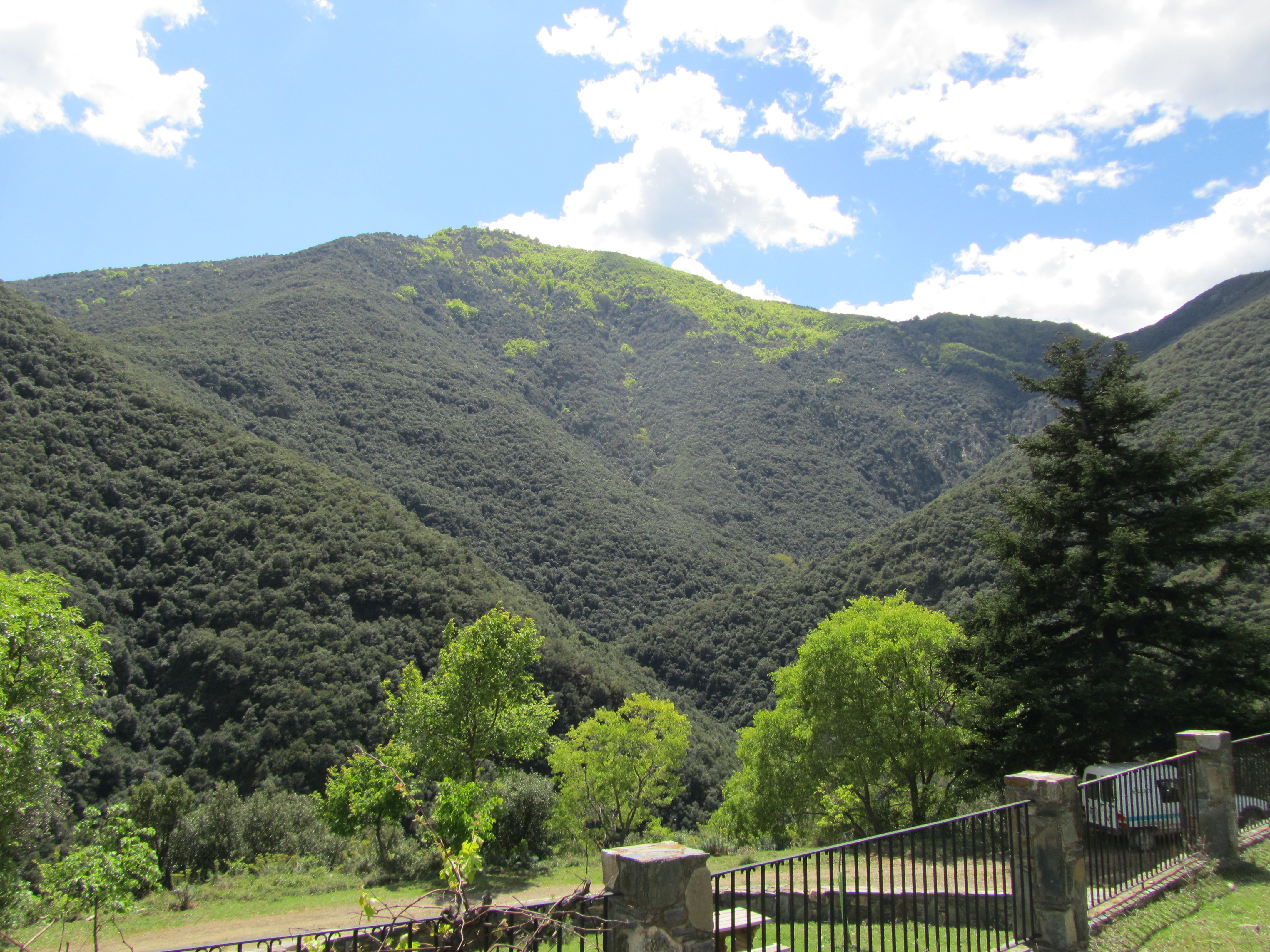
The Montseny massif is situated 40 km NNE from Barcelona. The mountains cover about an area of 400 km2, about 80% of which is protected as Natural Park. Its highest altitude is 1707m asl. Climatically and biogeographycally Montseny lies in the northern boundary of the Mediterranean region. It is mostly forested, except at the upper reaches. Vegetation shifts altitudinally, with forests of pine, evergreen holm oak and beech, and heathlands and grasslands dominating in this order as altitude increases. The relief is steep and the lithology consists mostly of metamorphic phyllites, schists and granodiorites.
-
PELD-TMSG: Cerrado ecosystems in the region of the Triângulo Mineiro and Southeast of Goiás - Brazil
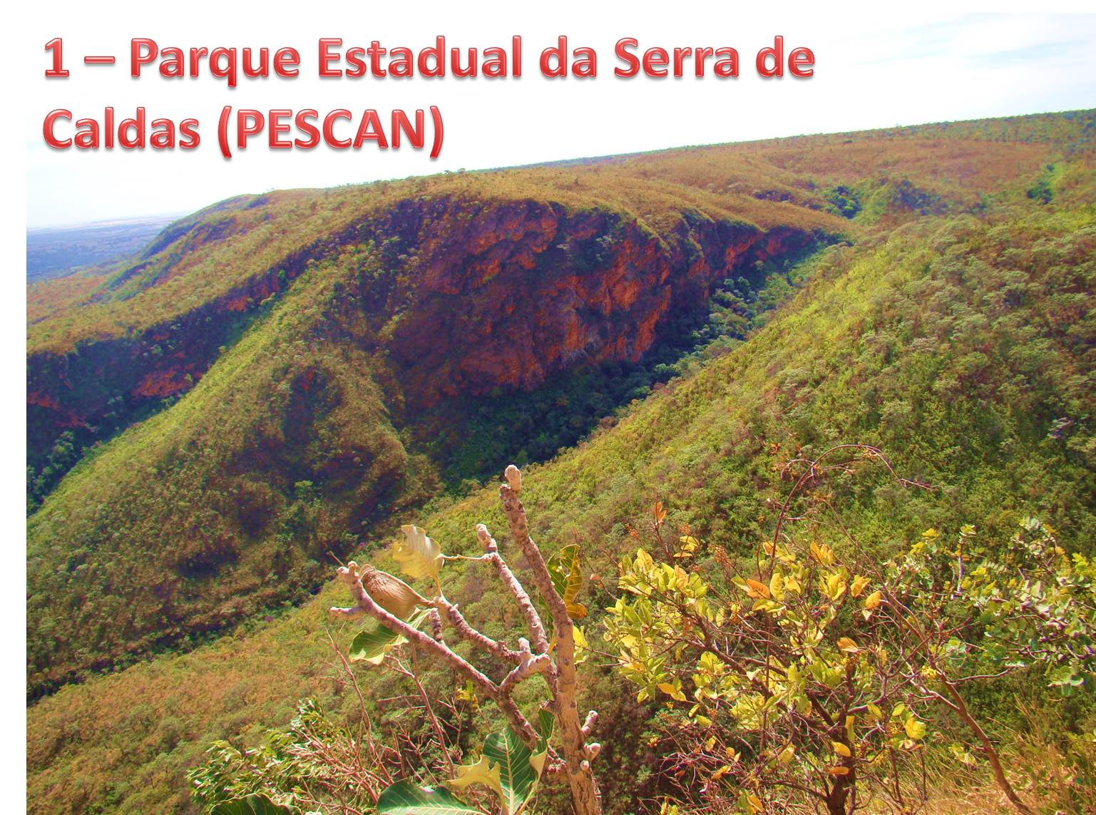
The site consists of 13 Cerrado fragments formed by five conservation areas and 8 remants of semideciduous forests. All these areas are within the basin of the Rio Paranaiba and thus share similar ecological conditions. These areas have similar human interference processes with already traditional agricultural use, impacts of hydroelectric facilities and recent intensification of the urbanization process.
-
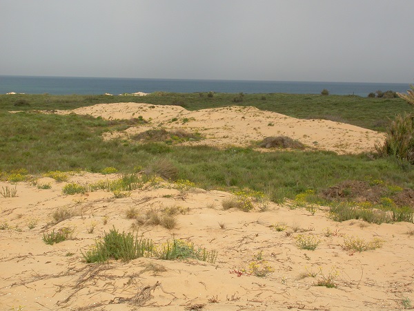
Coastal sand dune
-
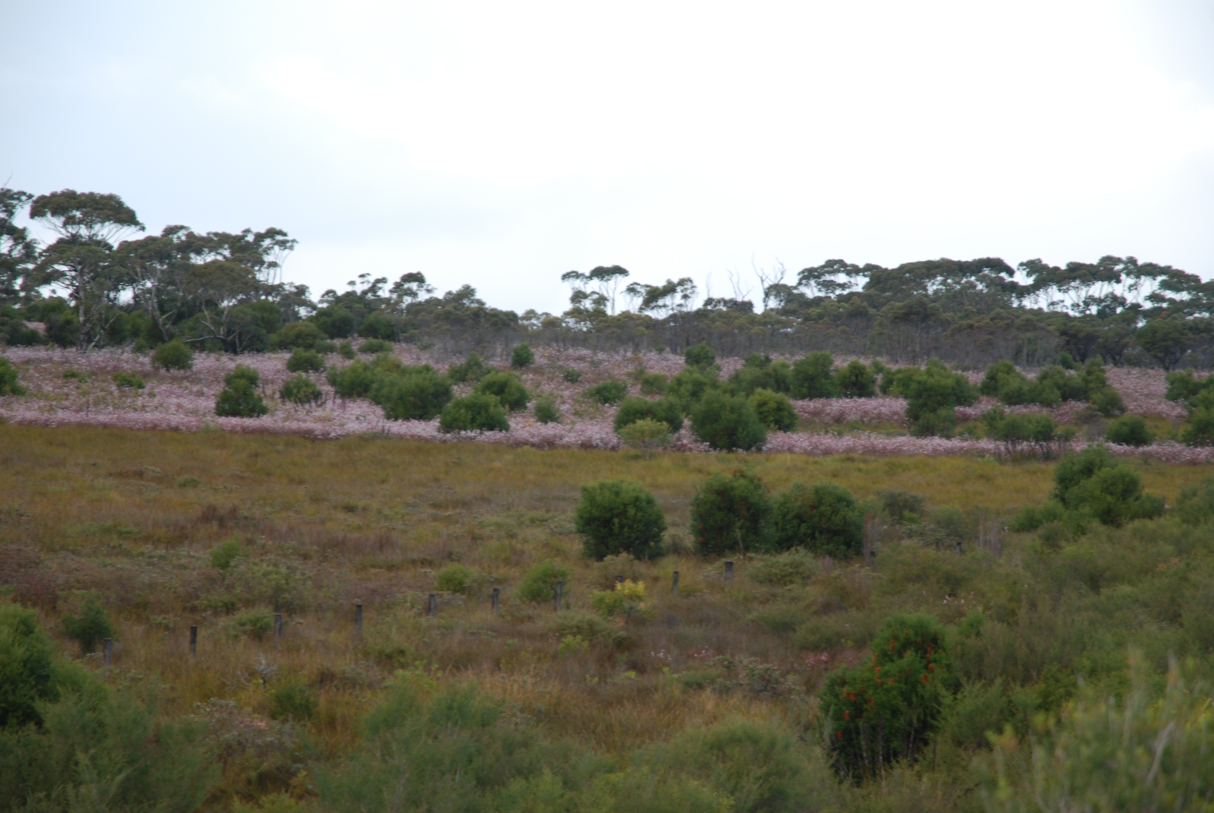
The Desert Uplands Plot Network is located in the Northern Desert Uplands of Queensland, Australia with each of the 50 (originally 60) bird monitoring plots 1 ha in size, and located at least 1 km from any other site, 500 m from any water point and 50 m from the nearest access track. As at June 2016, temporal visits have been conducted in 2004, 2005, 2006, 2008, 2013 and 2014. Between 2012 and 2018 the Desert Uplands Plot Network was a member of Long Term Ecological Research Network (LTERN), Australia, a facility of the Australian Government's Terrestrial Ecosystem Research Network (TERN).
-
Data on bird presence and abundance in Doñana is available since the 50ties, even before its protection. EBD-CSIC started standardized monitoring by aerial counts in the 70ties, initially focused on wintering birds but since de early 80ties counts are conducted monthly, and up to 50 bird species are identified in 52 counting areas within the marshes. Terrestrial bird count of main bird concentrations of Doñana have been conducted at the same time (both EBD-CSIC and Park Management) but were not standardized until 2002 by EBD-CSIC. Since then, monthly surveys have been conducted covering about 87 water bodies of the marshes and from fixed observation points (up to 196 water bird species are included). Additionally, each month, a transect (30 km) count of birds (all non-passerine species and Corvus corax) present at the beach and sea shore is done by car. Furthermore, during spring, colonial water bird nests are located and chicks ringed when possible. Several colonies have been monitored since the 80ties. Non-colonial waterbird nests are located monthly during the breeding season using linear transects on horse in the marshes, totalling about 65 km. These transects data are being collected since 2003. Earlier data on non-colonial breeding waterbirds are more disperse, although ringing activities have been done since the 70ties on regular bases.
-
The site is located between two bio -geographical zones arid and hyper-arid, the research is carried out by both sides. The arid side is characterized by remains of terraces from the Nabatean agriculture runoff. The main research topics that being studied in the site are: biodiversity, climate change, runoff hydrology. The arid zone is a geo hydrological ecological system which is depended on a combination of rainfall and runoff that creates water enriched parches that support relatively high biodiversity. The hyper arid zone is runoff depended system the source of runoff are stipe, slope consist on bare bedrock, biological activities are constructed in the dry riverbeds that functions as sinks for the runoff generated from the slopes.
-
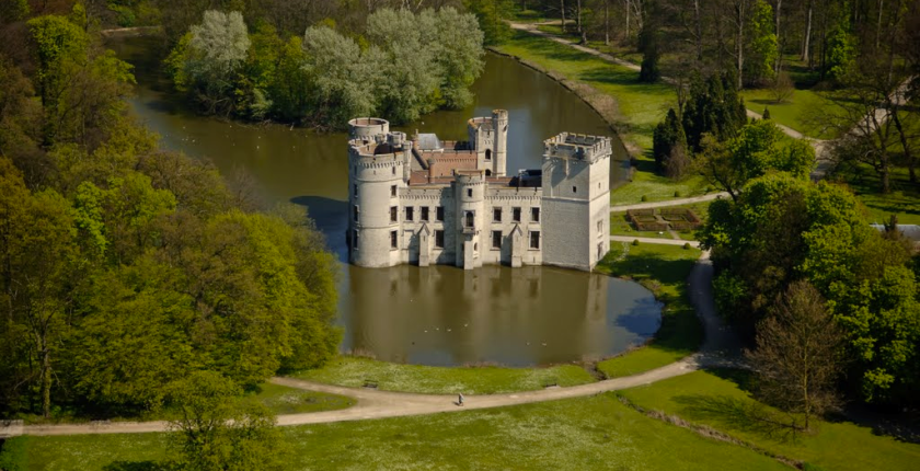
The site of Botanic Garden Meise is a 92 ha domain near Brussels. It has been assembled from parts of two historic castle parks. For more than 75 years it has been home to a collection of plants, as well as a research institute dedicated to botany, forming one of the largest botanic gardens in Europe but also an important tourist attraction close to Brussels. Some habitats get a high degree of disturbance, either due to garden maintenance, or from the large number of visitors. There are also managed and more natural areas. A variety of terrestrial and aquatic habitats occur, among which valuable woody (semi-)natural areas, and also managed meadows. The study of biodiversity in the park has relealed an exceptional species richness in many taxonomic groups. More than 600 wild vascular plant species have been found since 2002, including rare species that were inadvertently introduced during the 19th century, so called wood lawn neophytes . Since 1993 the ectomycorrhizal fungi have been monitored, and there are observations of 52 Red List species in the domain. The park is also the richest Belgian site for Laboulbeniales (Ascomycetes), obligate ectoparasites of Arthropoda. Especially the wet ash-alder forests hold a number of rare and unique taxa and host-parasite combinations, some of them with only a few localities known worldwide. Moreover, the domain is a biodiversity hotspot for lichens and lichenicolous fungi, among other factors as a result of management, such as the regular maintenance of the undergrowth which has a positive effect on light-loving epiphytic lichens, and also due to the diversity of habitats and the large range of different substrates of varying age and of ecological conditions. Another well represented group are diatoms (Bacillariophyta), of which a mere survey in a small pond already yielded two species which have been described as new to science. The site is also rich in fauna, for example rare bat species that overwinter in our historical underground ice cellars. The diverse range of cultivated species also attracts an enormous range of arthropods and plant pathogens, which we know exceeds what we know of it.
-
PLANNED (as of August 2016) regular monitoring activities of the Park's selected vascular plant species are specified in the new Park Protection Plan (currently in the final project stage, pending final approval and implementation resolution by the Minister of Environment). They're planned to comprise 6 rare species of Communnity Importance occurring in the Park at few locations (from 1 to 19). Monitoring activities are planned to be conducted in principle once a year, in selected cases every 2-3 years, seasonally. They'll be based on counting and controlling the sites, searching for new sites, as well as counting plant shoots (total and generative shoots). For the purpose of the Park's Protection Plan, nature inventory and assessment of the state of the above-mentioned 6 plant species, i.e. FV or U1 (no U2s or XXs, luckily) related to (a) habitat area, (b) habitat structure and function, and (c) future prospect - plus (d) the cumulative value - was conducted and data may already be available at the Park.
-
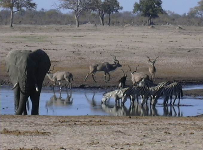
The LTSER Zone Atelier Hwange (ZAHWG) belongs to LTER-France network and is located in western Zimbabwe, in Sub-Saharan Africa, and is centered around Hwange National Park. The ecosystem is dominated by dystrophic savannas (mostly wooded savannas and dry woodlands) with discrete water sources. Surrounding land-uses include forestry areas, subsistence agro-pastoral farming, private ranches and hunting concessions, and mining. The ZAHG conducts an interdisciplinary research on the dynamics and resilience of this socio-ecological system organised, around a large protected area with re-known large mammal diversity and facing major social and climatic challenges for sustainable conservation