
residual water content
Type of resources
Available actions
Topics
Keywords
Contact for the resource
Provided by
Years
Formats
Representation types
-
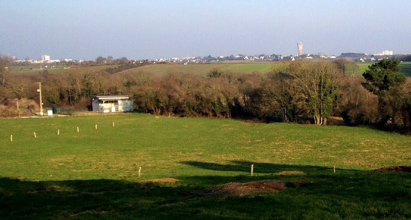
The Ploemeur-Guidel observatory (Britanny, France) is focusing on surface-depth relationships in a fractured crystalline geological context and oceanic climate. It is built on 2 sub-sites, one highly anthropized, the other in natural state. In Ploemeur, groundwater has been pumped since 1991, supplying more than 1 million m3 of clean drinking water annual at a sustainable rate. Such high productivity is explained the specific fractured network in granite and micaschists, draining deep geological layers (~400 m). Extracted water quality is very good, with limited nitrate concentration, in a region that has been strongly affected by widespread pollution. Guidel site is in a similar, but natural context. Deep iron-rich groundwater is upflowing, creating surface and deep groundwater-dependent ecosystems, and feeding a classified coastal wetland. Both sites have a very dense equipment to study rapid to long-term surface-depth exchanges: a flux tower, unsaturated zone monitoring, a network of ~50 shallow (<10m) and deep boreholes (>80m), hydrochemical, temperature and deformation. An well-characterized fractured experimental site offers the possibility to conduct experiments to test innovative instruments and develop new methodologies
-
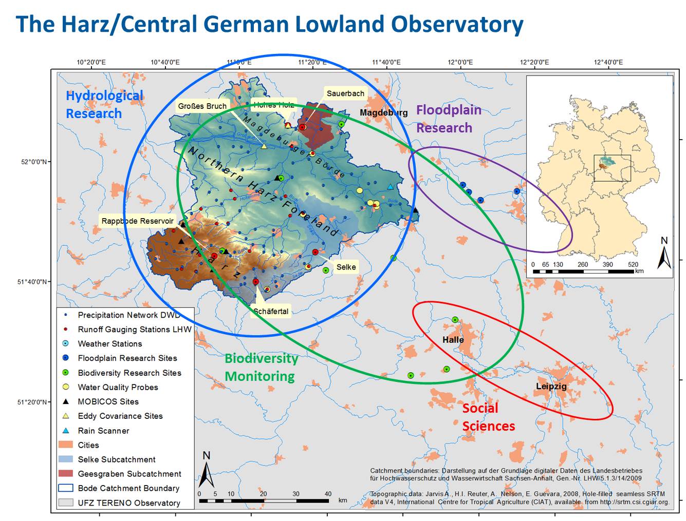
In the framework of TERENO "terrestrial observatories" are set up in selected German regions for climate and landuse change studies. The Harz/Central German Lowland Observatory is one of these observatories that are equipped with a combination of in situ measuring instruments and ground-based, airborne and satellite-borne remote sensing techniques. Additionally a network of biodiversity observation plots is installed. Within the Harz/Central German Lowland observatory the climate feedback experiment SoilCan using a lysimeter network will be realized. Soil monoliths with different vegetation are transplanted along the existing natural gradient in temperature and precipitation within the four TERENO observatories. Within the Harz/Central German Lowland observatory three main intensive test sites have been selected: Sauerbach, 27 ha, forest/agriculture, Schäferbach, 27 ha, agriculture, Selke Catchment, forest/agriculture. Instrumentation and surveys enable: Dense Soil Moisture Monitoring, Groundwater Monitoring, Runoff and Solute Monitoring, Eddy covariance tower (CO2, NO2, CH4, available end 2011), Geophysical Monitoring (ERT, GPR, EM), Airborne Monitoring using Hyperspectrum Imagery (flight campaigns), Soil Respiration Monitoring (available end 2011), Climate station, Deposition station (available end 2011), Biodiversity Assessment, DTS-observation of groundwater-surface water interactions (Distributed Temperature Sensing, using fiberoptics and temperaturprobes), Vadose Zone Monitoring System (in-situ soil water budget observation), Rainscanner (small weather radar, available end 2011). At the GCEF in Bad Lauchstädt opportunities will be given to manipulate climate change and land environment, from which visiting scientists may benefit. This infrastructure is available since 2013. The monitoring, observation, and research activities within the Harz/Central German Lowland Observatory are organized in four main platforms: 1. Hydrological Platform: catchment of the river Bode (shape on the map) 2. Biodiversity Platform (green dots on the map) 3. Floodplain Platform (pink dots on the map) 4. Urban Platform: the city of Leipzig as focus area