
root length
Type of resources
Available actions
Topics
Keywords
Contact for the resource
Provided by
Years
Formats
Representation types
-
Modeled with Mohid
-
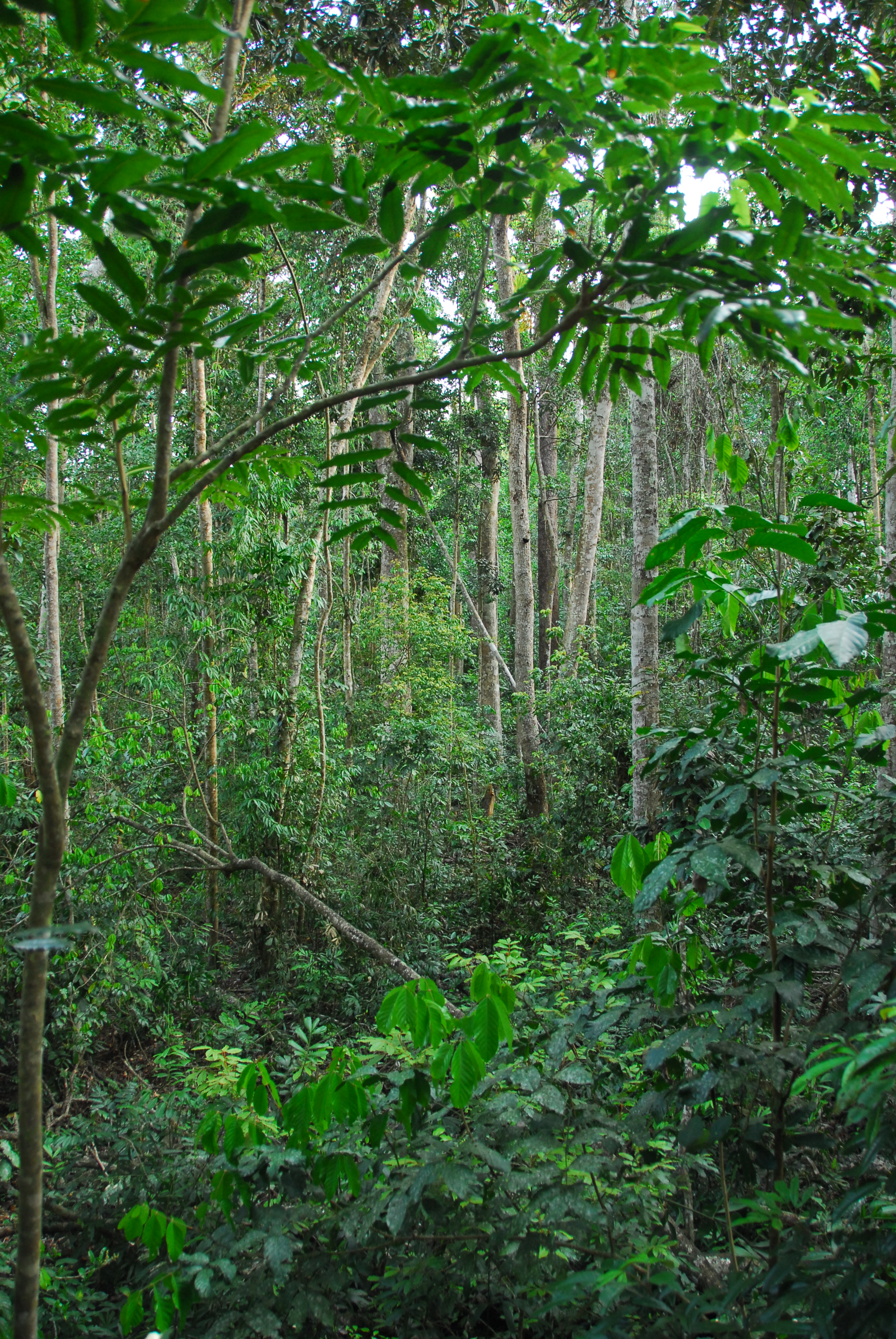
Except for minor disturbances associated with selective logging on two plots, the Tropical Rainforest Plot Network plots were established in old growth forest and all plots have thereafter been protected. Plots have been regularly censused and at each census the diameter at breast height of all stems is recorded. The data collected from the 20 plots provides an insight into the floristical composition, structure and long term forest dynamics of Australian tropical rainforests and allows direct comparisons to be made with long-term monitoring plots at a global scale. Temporal visits were initially conducted every 2 years, then every 5 years from 1990. Between 2012 and 2018 the Tropical Rainforest Plot Network is a member of Long Term Ecological Research Network (LTERN), Australia, a facility of the Australian Government's Terrestrial Ecosystem Research Network (TERN).
-

The Hölstein site is located in in the eastern part of the Swiss Jura mountains (47°26’16.4’’, 7°46’31.1’’; 540 m a.s.l.), in a mixed, temperate forest with an exceptionally high biodiversity and a vigorous tree regeneration. The research plot has a size of 1.6 ha and comprises 540 mature trees. The main tree species are Fagus sylvatica and Picea abies with an admixture of Abies alba, Quercus petraea, Pinus sylvestris, Acer pseudoplatanus, Carpinus betulus, Fraxinus excelsior and Sorbus torminalis. A canopy crane is installed in the center of the research area to access the tree canopies for in situ measurements and for sampling of leaf material. Rainout shelters will be installed in 2019 for conducting a long-term throughfall exclusion experiment.
-
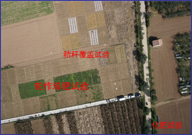
Changwu station was found in 1984 as one of field experiment stations of Institute of Soil and Water Conservation, Chinese Academy of Sciences (ISWC, CAS). It joined the Chinese Ecosystem Research Network (CERN) organized by CAS in 1991 and the National Ecosystem Research Network of China (CNERN) in 2005 by the Ministry of Science and Technology of the People’s Republic of China. The station located in Wangdong Village, Hongjia town, Changwu County, Shaanxi Province, 200 km away from Xi’an city. Its location is E107°41′ and N35°12′, south of the Loess Plateau. It belongs to the warm temperate semi-humid continental monsoon climate. Mean annual precipitation is 580mm and temperature 9.1℃, frost-free day 171. The elevation is about 1200 m and the depth of ground water is 50-80m. Main crops are winter wheat, spring maize, potato, sorghum, millet, beans and so on. The zonal soil is called Heilu soil with a parent material of clay loam Malan loess paleosol soil with an average depth in excess of 100m that were deposited during the Quaternary period. It belongs to the high table land - gully region, and a typical rain-fed agricultural area on the Loess Plateau. Wangdong small watershed, which the station located in, is 6.3km2. Three landform types are high table land, slop land called “Liang” and valley, which occupy the total area of watershed with 35%, 35.6% and 29.4%, respectively. The soil is deep and has good physical properties, like reservoir, support the agro-ecological system.
-
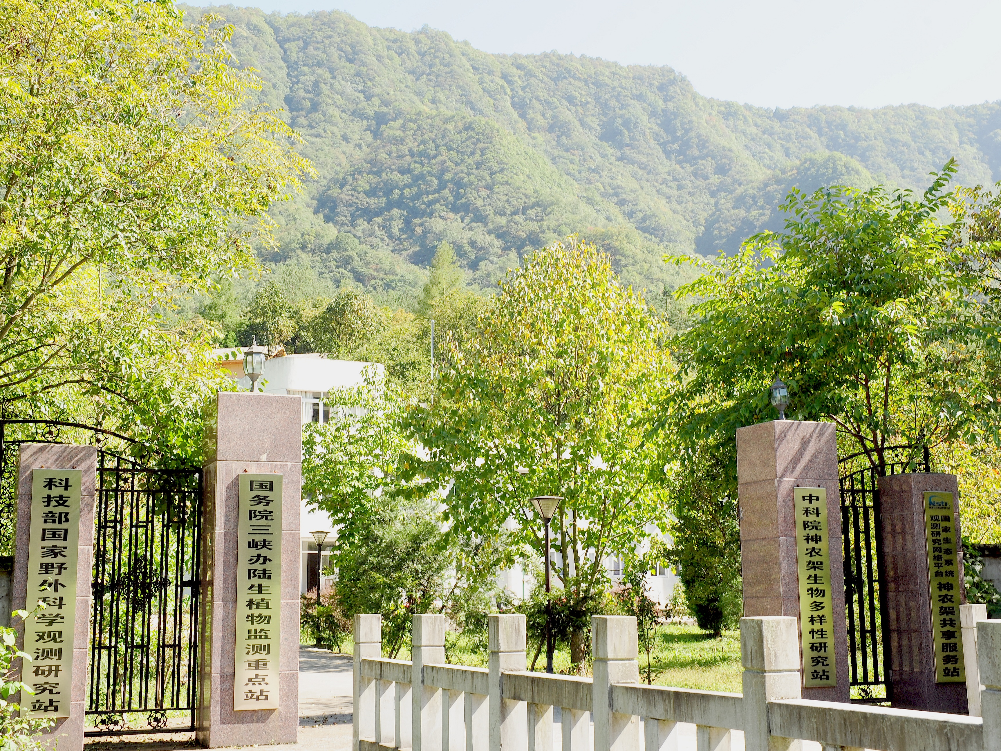
Shennongjia Station is located in Xingshan County, Hubei Province, China. It is located in the southern slope of Mount Shennongjia. The altitude is 1290m above sea level. The typical forest types are the northern subtropical mixed evergreen and deciduous broadleaved forest. Shennongjia Station was established in 1994, it became a station of National Field Research Station network running by the Ministry of Science and Technology of the People’s Republic of China in 2005, and became a member of Chinese Ecosystem Research Network (CERN), CAS in 2008.
-
The Harvard Forest is a collection of five properties, totaling about 1500 hectares, in Petersham, Massachusetts. Petersham is a rural town in Worcester County, Massachusetts, about 60 miles west of Boston. It is largely in the Swift River Watershed, and lies near the center of a twenty-mile wide band of hilly uplands that form the eastern edge of the Connecticut Valley. The north part of the town is rolling and the south more distinctly hilly; the lowest basins are about 200 m above sea level, the flats around 400m. Th e climate is cool temperate. Petersham, like many of the adjacent towns, was settled in the early 18th century, extensively cleared and farmed in the next hundred years, and then progressively abandoned after about 1830. Reforestation proceeded quickly, and by the time of the first Harvard Forest maps in 1909 HF was almost entirely wooded. Th e common forest types are dominated, variously, by red oak, red maple, white pine, or hemlock. Most are of low or average fertility and under 100 years old. Hemlock is now locally dominant in many stands that have been continuously forested; oaks, red maples and pines are the common dominants in stands that developed in old fields.
-
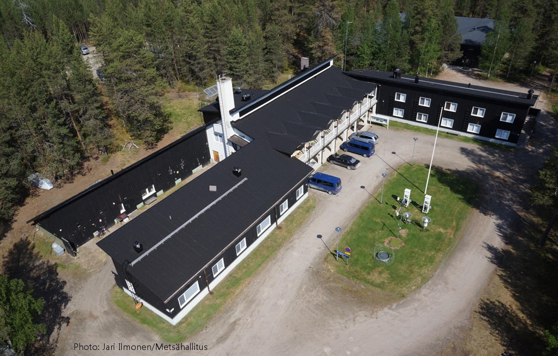
Oulanka Research Station is part of the Infrastructure Platform and is situated in Kuusamo as a regional unit of the University of Oulu. The station is located in the Oulanka river valley within the Oulanka National Park (66°22'N, 29°19'E). The area lies within the boreal coniferous forest-zone (Taiga), where Norway spruce and Scots pine prevail. In the Oulanka river valley there are, also many alluvial meadows, stream mouths and crags supporting luxurious plant communities. The bedrock is calcium-rich in places. Bogs, fens and marshes as well as numerous springs, ponds and lakes, brooks and rivers characterize the landscapes. All these factors together create a diverse and exceptional rich environment with rich flora and fauna.In terms of temperature Oulanka has a continental climate. The coldest and warmest ever measured temperatures are -48.0°C and 32.1°C. The difference between the mean temperature of coldest (January, -15°C) and the warmest (July, 15°C) month is 30°C. The mean temperature for the whole year is c. -0.5°C (1967-2009).
-
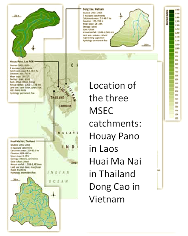
Dong Cao is a small agricultural catchment (47 ha) of northern Vietnam, located at 70 km from Hanoi, in a sloping land environment. The objective is to monitor the impacts of land use changes (from cassava to fodder and tree plantations) and possible climate changes upon hydrological and sedimentary fluxes and budgets. The catchment has an elevation of 125 m to 485 m and slopes range from 15 to 120%. Monitoring devices include an automatic meteorological station, and weirs to monitor discharge, suspended sediment and bedload. More information is available on https://mtropics.obs-mip.fr/ and in the following paper: Valentin, C., et al., 2008. Runoff and sediment losses from 27 upland catchments in Southeast Asia: Impact of rapid land use changes and conservation practices. Agric. Ecosyst. Environ. 128, 225–238. https://doi.org/10.1016/j.agee.2008.06.004
-
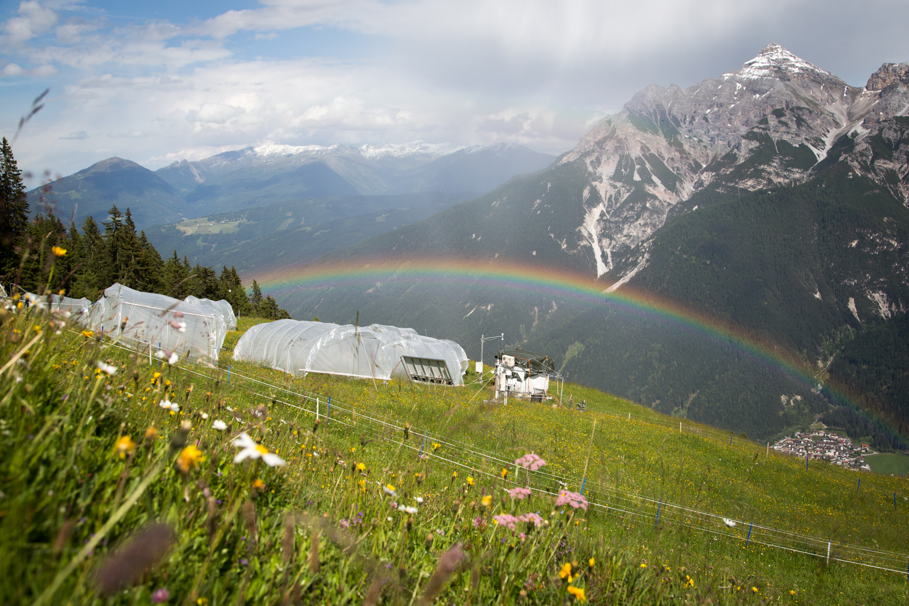
'Tyrolean Mountain Grassland and -Forest' currently consits of 'Stubai - combination of Neustift meadows and Kaserstattalm' (DEIMS.iD: https://deims.org/324f92a3-5940-4790-9738-5aa21992511c). Additional forested research locations may be added in the future.
-
The Yatir Research site was set up in 2000 at the center of the Yatir Forest, a 2'800 ha afforestation system of mainly P. halepensis trees, and is located on the southern end of the Hebron mountain range and at the northern edge of the Negev desert (31° 20’ N; 35° 3’ E; elevation 600 to 850 meters above sea level). Most of the area was planted during the 1960s-1970s. The site is located in the transition zone between the semi-arid and arid Mediterranean climates. Average air temperature for January and July is 10 and 25°C, respectively. Mean annual potential ET is 1600 mm, and mean annual precipitation is 285 mm. Only winter precipitation occurs in this region, creating a distinctive wet season (winter, December to March) and an extended dry season (summer, June to October), with short transition periods between them: a wetting season (autumn) and a drying season (spring). Research in the site mainly focuses on ecophysiology and ecohydrology, energy, carbon and water budgets, influence of stand density (through manipulation experiments), boundary layer dynamics and ecosystem interactions with the climate.