
runoff amount
Type of resources
Available actions
Topics
Keywords
Contact for the resource
Provided by
Years
Formats
Representation types
-
Runoff generated under different historical scenarios of vegetation cover and soil uses (1956-2007)
-
Runoff generated under different historical scenarios of vegetation cover and soil uses (1956-2007)
-
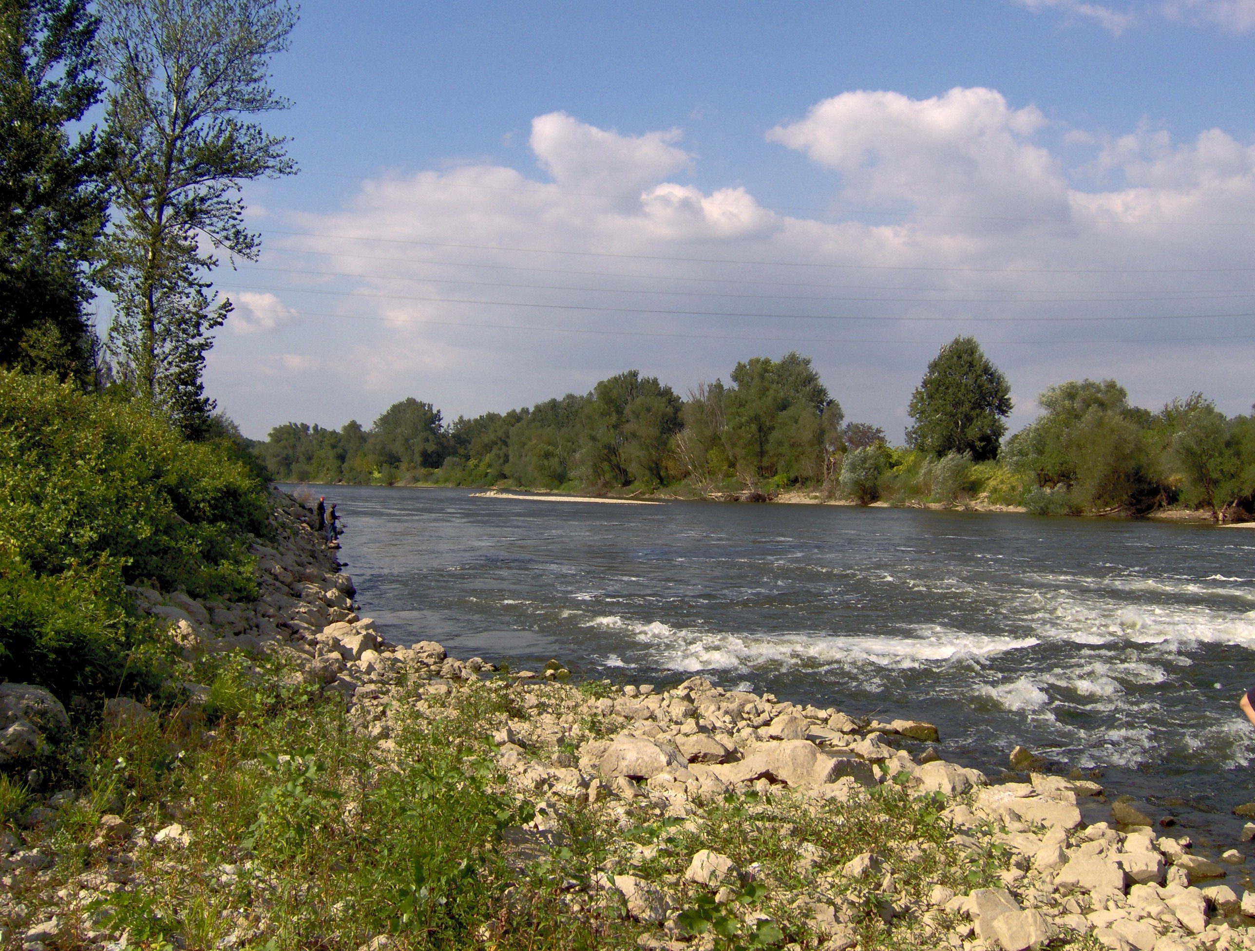
Velika Morava is 175 km long river originating from Western and Southern Morava Rivers. The whole catchment area (including Western and Southern Morava) is about 38.000 km², while the basin area of Velika Morava is 6.760 km². The mean annual flow is 245 m³ s-1 (gauge station Ljubicevo, near to the mouth of the Danube - Annual Water Quality Reports 1999-2008). Based on the size of catchments area and its flow, Velika Morava is one of the major tributaries of the Danube. Over 95% of the basin is located at the territory of the Republic Serbia. The water regime is unimodal, characterized by the prominent seasonal fluctuations. In the spring the river can be almost torrential (the mean flow near to the mouth 560 m³/s), while in the rest of the year there is a "low water" period, particularly in the autumn, when mean flow does not exceed 100 m³/s. The riverbed is 80-200 m wide, and up to 10 m deep, although average depth usually does not exceed 2 m. The silicates are the dominant geological substrate in entire catchment area. According to the main geographical features the river could be divided into two main parts. The lower one, from confluence with Dunav to the Resava River mouth (near Svilajnac), is 85 km long typical lowland watercourse (altitude lower the 100 m), with 0.35 ‰ declination, and with sand and mud/silt as dominant fractions of the riverbed. This part of the Velika Morava River belongs to Ecoregion 11 (ER11_Ser). The upper one, from the Resava river mouth to Stalac (the confluence of Southern and Western Morava Rivers), is 90 km long. The mean altitude is over 100 m a.s.l. (to 135 m), declination is 0.44 ‰ and in the riverbed the dominant part are sand and gravel fractions. Upper part belongs to Ecoregion 5 (ER5_Ser). Velika Morava river basin has four permanent monitoring sites. The area is densely populated and the river is under the influence of various pollution sources (organic, agricultural, industrial), as well as hydromorphological pressures (meander cutting, shortening, channeling, as well as gravel and send extraction).
-
None
-
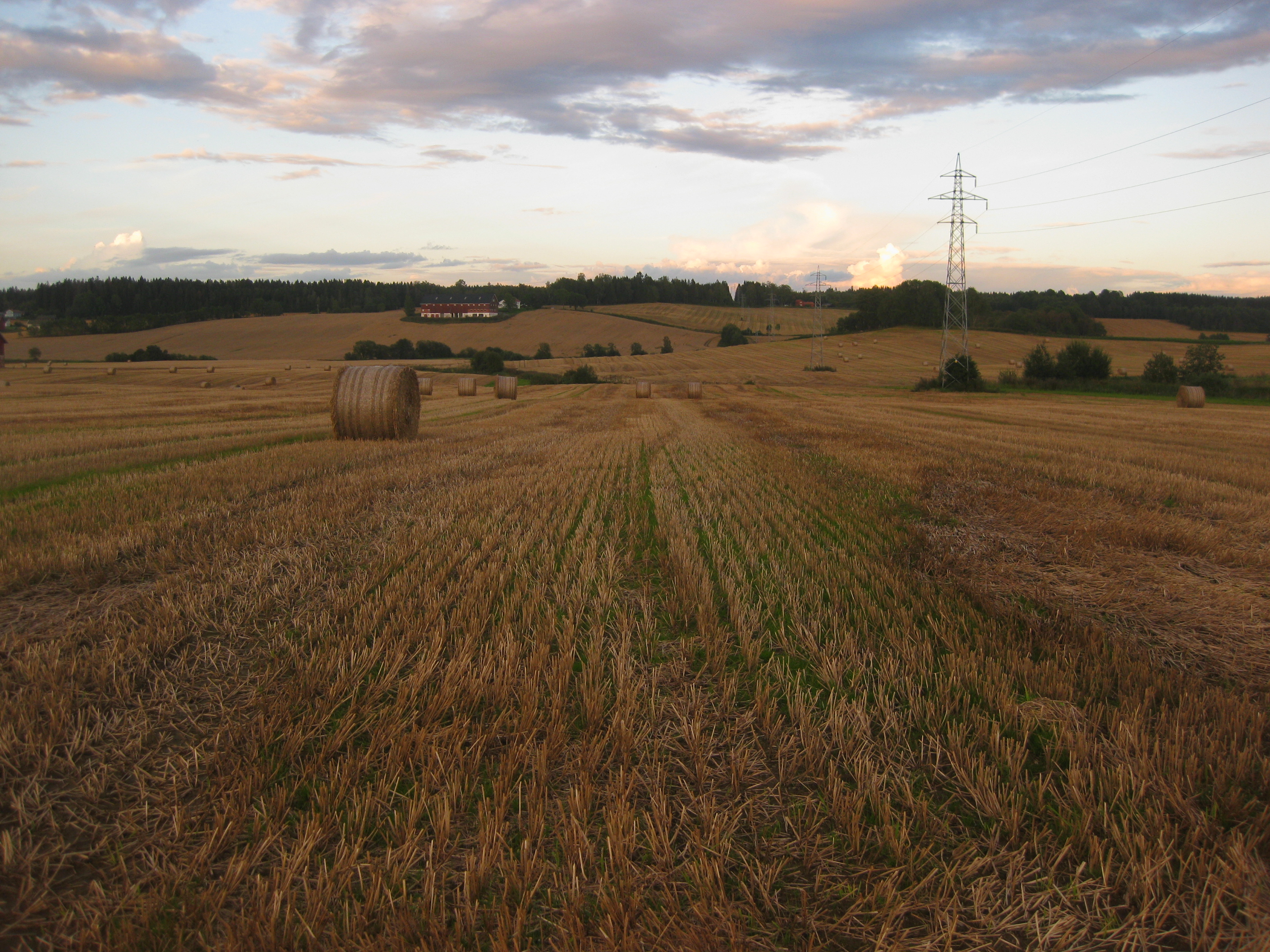
grain dominated catchment located in the south-eastern part of Norway, monitored by The Norwegian Agricultural Environmental Monitoring Programme (JOVA)
-
Runoff and runoff chemistry at LTER Zöbelboden, Austria
-
HYBAM observatory runs a network of 17 stations for hydrological, sediment and geochemistry sampling in the Amazon basin. The infrastructure is shared between the partners in each country including France, Brazil, Peru, Bolivia, Colombia and Ecuador. ADCPs are used for river water flow measurements. Samples are processed in different laboratories at Manaus and Brasilia University (Brazil), Lima University (Peru) and Toulouse University (GET laboratory in France). For comparisons with other large tropical rivers, one stations is maintained along the Orinoco River (Venezuela) and Congo River (Congo) HYBAM data are used in a large variety of programs in relation to hydrology, geomorphology, geochemistry, climatology, climate change, carbon cycle, remote sensing and isotopic tracers. The data produced by the HYBAM observatory are made available online on its website (www.ore-hybam.org) to provide to the research community long term assessments on the hydrology of world largest basin.
-

Uhlířská (Jizerské Mts.) is a typical mountain catchment underlain by acidic bedrock and strongly acidified during the second half of the 20th century. Two thirds of the catchment were deforested in 1980s and subsequently reforested by Norway spruce (Picela abies) monoculture. Research here has been mostly focused on fluxes of ecologically important elements and water. The monitored characteristics include bulk and throughfall precipitation amount and chemistry, runoff amount and chemistry as well as soil chemistry, forest biomass and element pools but also plant community composition. Biogeochemical (MAGIC) and hydrological models (BROOK90) have been applied to predict future chemistry and hydrology under different scenarios of atmospheric deposition, forest growth and climate change. Hydrological processes of surface and subsurface runoff formation are studied in the catchment as a whole and in detail at the experimental hillslope Tomšovka using standard hydrologic and isotopic methods, incl. water transit time evaluation and groundwater age dating. Hydrology research focuses on water and heat flux in soil profile as well as on processes in the soil-plant-atmosphere system. Geophysical methods are used to reveal subsurface structures.
-
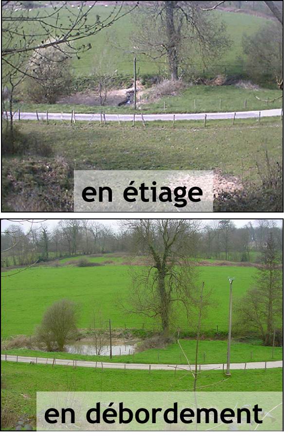
The Chalk Karst observatory groups different karst sites on the Cretaceous Chalk located at the Paris Basin (Norville, Radicatel, Yport, Saint-Martin-Le-Nœud). These karst watersheds range from 10 to 200 km2 and the land use consists of agriculture and grazing under oceanic climate. There are characterized by chalk plateaus covered with clay-with-flints owing to chalk weathering constituting a fairly impervious layer and with quaternary silts. These surficial formations range from 3 to 20 meters depth and are highly susceptible to crusting, compaction, and erosion, particularly during autumn and winter. A numerous swallow holes locally penetrates the chalk through the above-mentioned impervious layer, resulting in a strong connection of the surface with the aquifer inducing infiltration of turbidity releases at spring and well used to drinking water (up to 500 NTU). These Chalk karst sites are one the sites of the French SO-KARST labellised by INSU-CNRS and are a part of the French RBV-Network and ZA Seine.
-
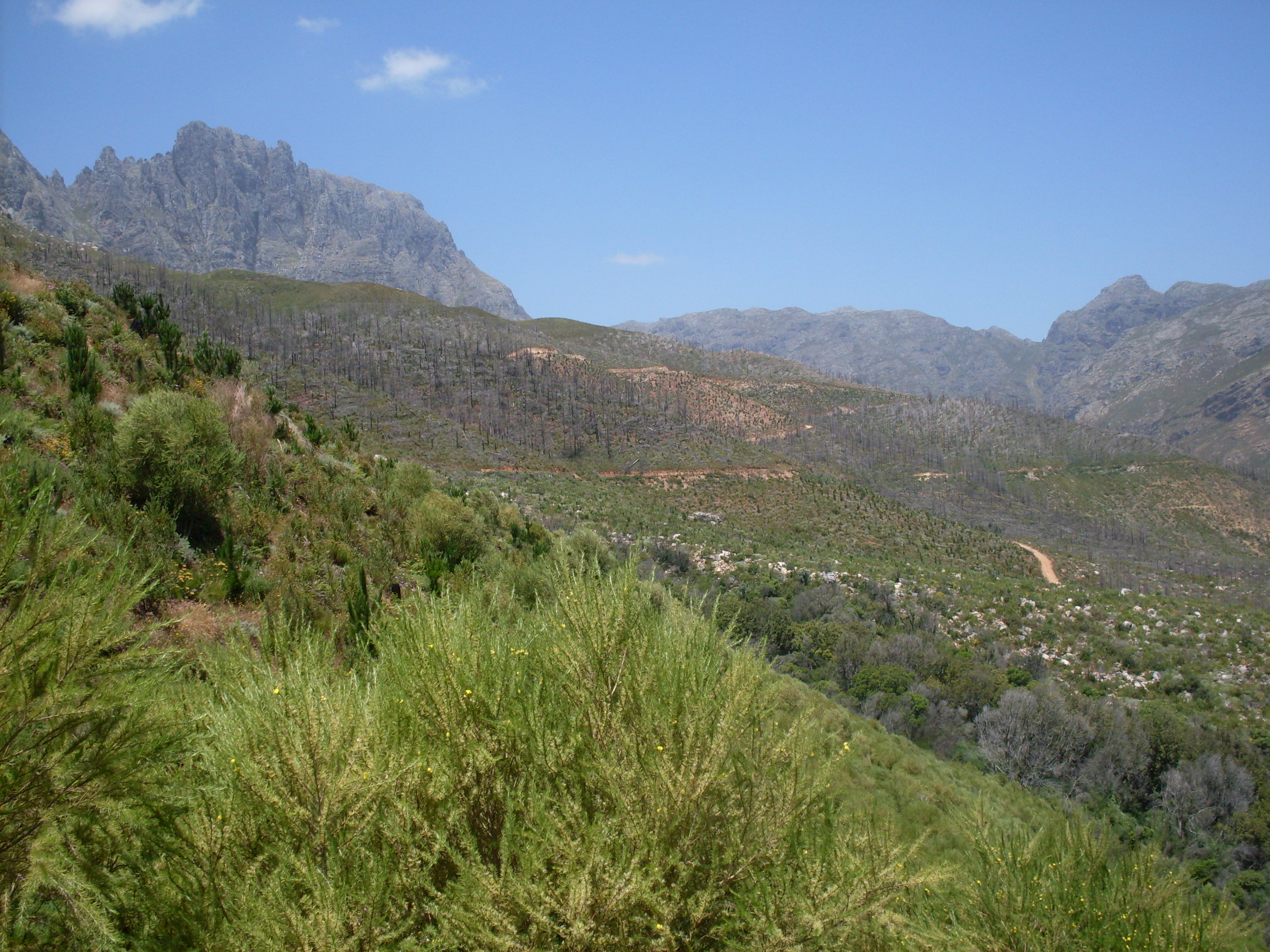
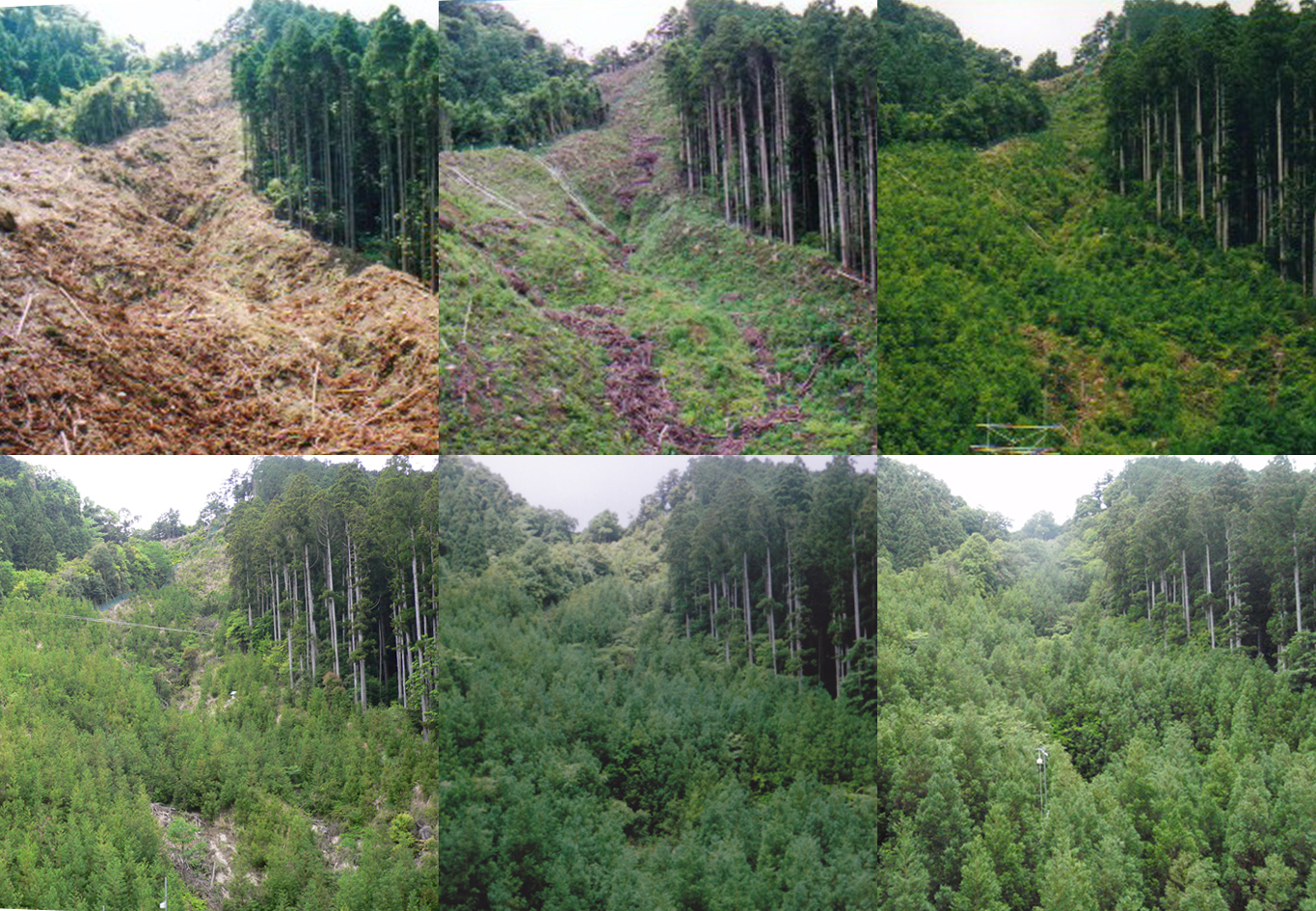
The Jonkershoek Valley site is located in a mountain catchment in the Cape Floristic Region and is the source of the Eerste River. The site was originally dominated by Boland Granite fynbos and Kogelberg Sandstone fynbos with patches of afrotemperate forest. From the 1930s, first order catchment experiments were established in the valley by the Jonkershoek Forestry Research Centre (JFRC) under the auspices of the South African Forestry Research Institute (SAFRI). The catchments were sequentially planted to pine species. Gauged weirs were built in the experimental catchments. Long term records exist for five gauged pine planted catchments and one natural fynbos catchment. The Swartboskloof catchment, located in the Jonkershoek valley, was the site of fire experiments in the 1970s and 80s.