
soil acidity
Type of resources
Available actions
Topics
Keywords
Contact for the resource
Provided by
Years
Formats
Representation types
-
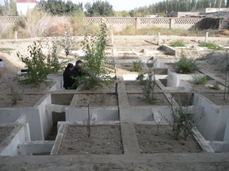
Cele station has a geographic coordinate of 80°43′45″E, 37°00′57″N with altitude of 1318 m a.s.l., and covers 130 ha. The distance from station to Cele county, Hotan, Urumqi and Beijing is approximately 7.5, 100, 1500 and 4500 km, respectively.The Cele Desert Research Station of Chinese Academy of Sciences is located in Cele county at the southern rim of Taklimakan desert. In early 1980s, the distance from the Cele county to the forefront of aklimakan desert was only 1.5 km. In order to cope with the severe desertification threat to the city, Xinjiang Autonomous Region government organized the onsite meeting and decided to establish the research station.he climate is continental, with cold winters and hot dry summers. Mean annual temperature is 11.9 ◦C, the desert is hyper arid with mean annual precipitation of 35.1 mm and potential evaporation rate of 2595.3 mm. The snowmelt on Kunlun mountain is a predominant water supply source for this area. Additionally, sand storm disasters are very common occurring on an average of 20 days a year while lowing sand and suspended dust occurs around 240 days a year. These situations have resulted in a fragile ecosystem in the region. The Gobi and desert ccount for 95% of the total area. The coverage of natural vegetation, which is dominated by perennial desert plants, is less than 15%.
-
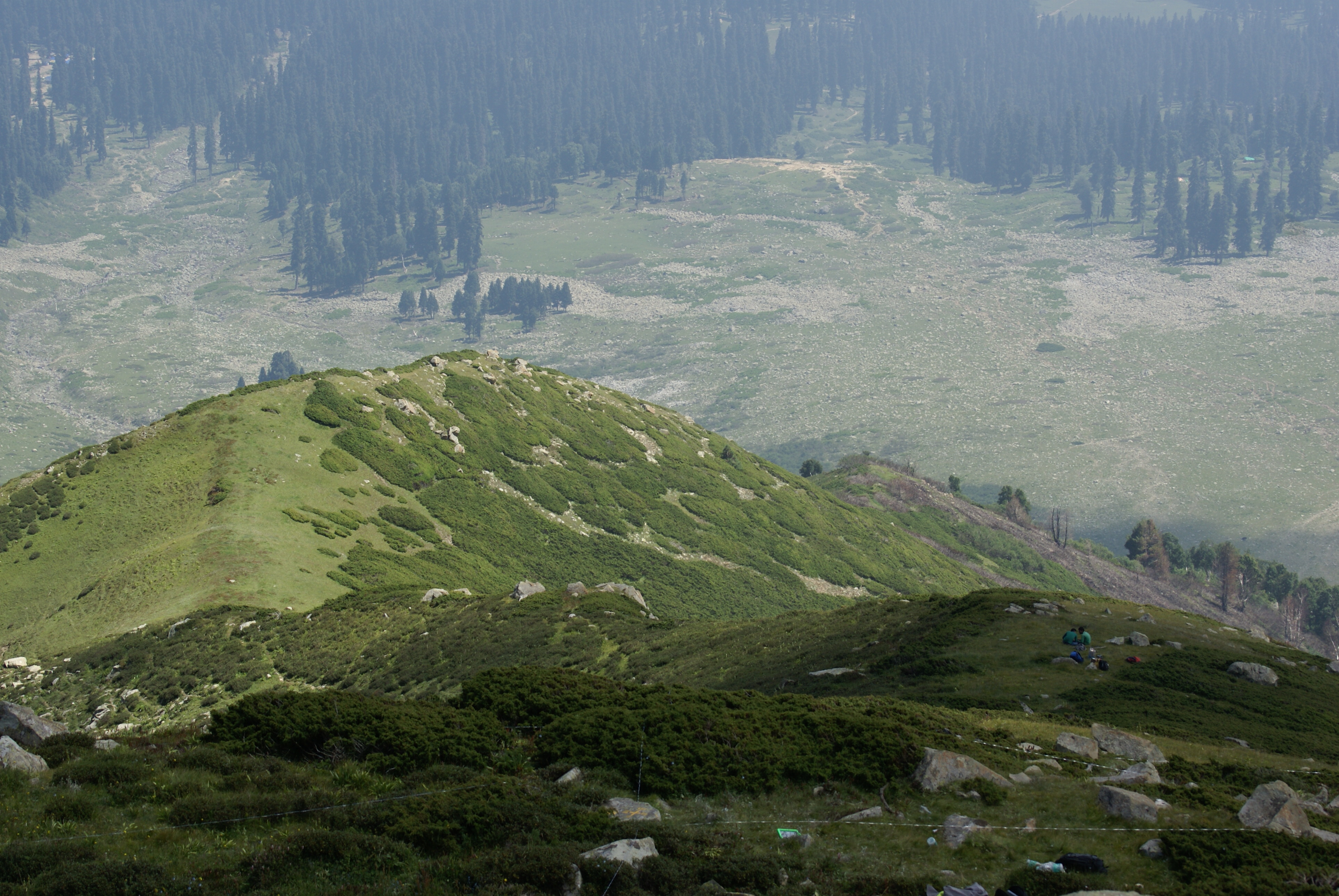
Dynamics of alpine tree line has been reported from several mountain ranges in Europe, in North America, New Zealand as well as in the Alps (Grabherr et al. 1994). This led to the formation of the GLORIA (Global Observation Research Initiative in Alpine Environments) project, dedicated to initiate a global indicator network towards research on the effects of climate change through an international co-operation. Indian part of Himalaya was not having any site towards this mission till 2013. Therefore, based on some Indian studies which also indicated this trend in more pronounced manner, the need of having Indian network was felt. It was in this context as a part of network project across the Indian Himalayan states under the banner of HIMADRI (Himalayan Alpine Dynamics Research Initiative) a long-term monitoring site was established in Kashmir Himalaya at Gulmarg, a famous hill resort. This particular work plan (TeaComposition initiative) is conducted at this selected HIMADRI site. Gulmarg lies on the north east side of the Pir Panjal Range and is about 60 kms west of Srinagar city. It encompasses the upper catchment area of Ferozpur Nullah and the forests that surround the Gulmarg meadow. The vegetation in Gulmarg mainly comprises of coniferous temperate mountain forests of Blue Pine (Pinus Wallichiana), sub-alpine forests of Silver Fir (Abies pindrow) and Himalayan Birch (Betula utilis), followed by alpine scrub and meadows.
-
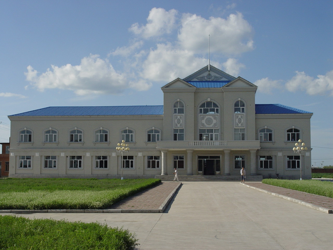
Hailun Agricultural Ecological Station located in Hailun city, Heilongjiang province, was established in 1978, briefly named Hailun Agro-ecosystem Station. The main research fields at that time were the optimal management of agriculture and advanced technology utilization in agricultural production. Chinese ecosystem research network(CERN) established in 1988 selected Hailun station as one of its components. The objective of Hailun station was to study the agro-ecosystem and sustainable development of agriculture in black soil zone in Northease China. Also, Hailun station was considered as one of components, when national field research net was built in 2005.
-
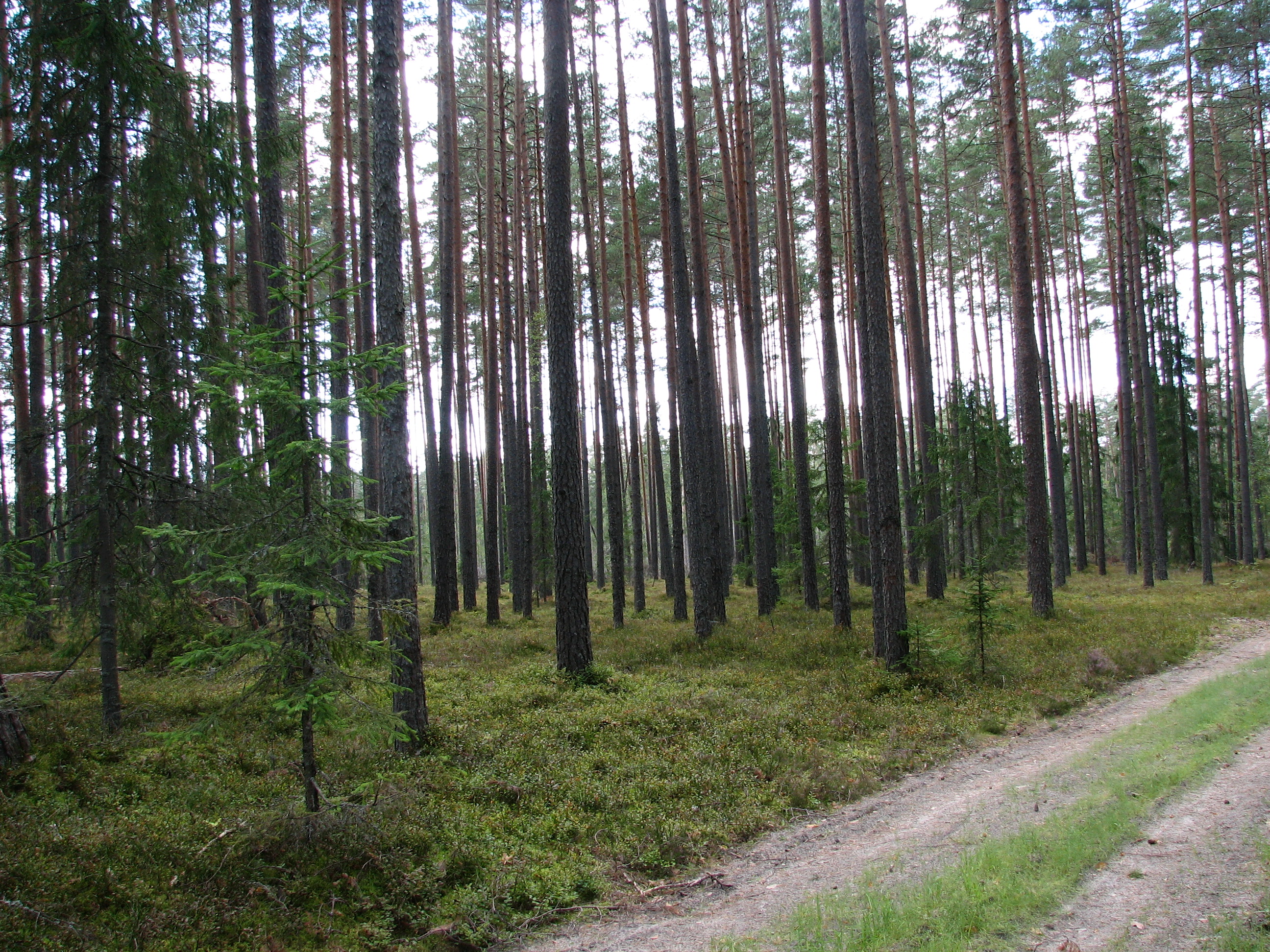
Three Scots pine (Pinus sylvestris) forest sites (30-40 year old, 50-70 year-old, and 150-200 year-old)on sandy podzolic soils in the central part of the North Vidzeme Biosphere Reserve.
-
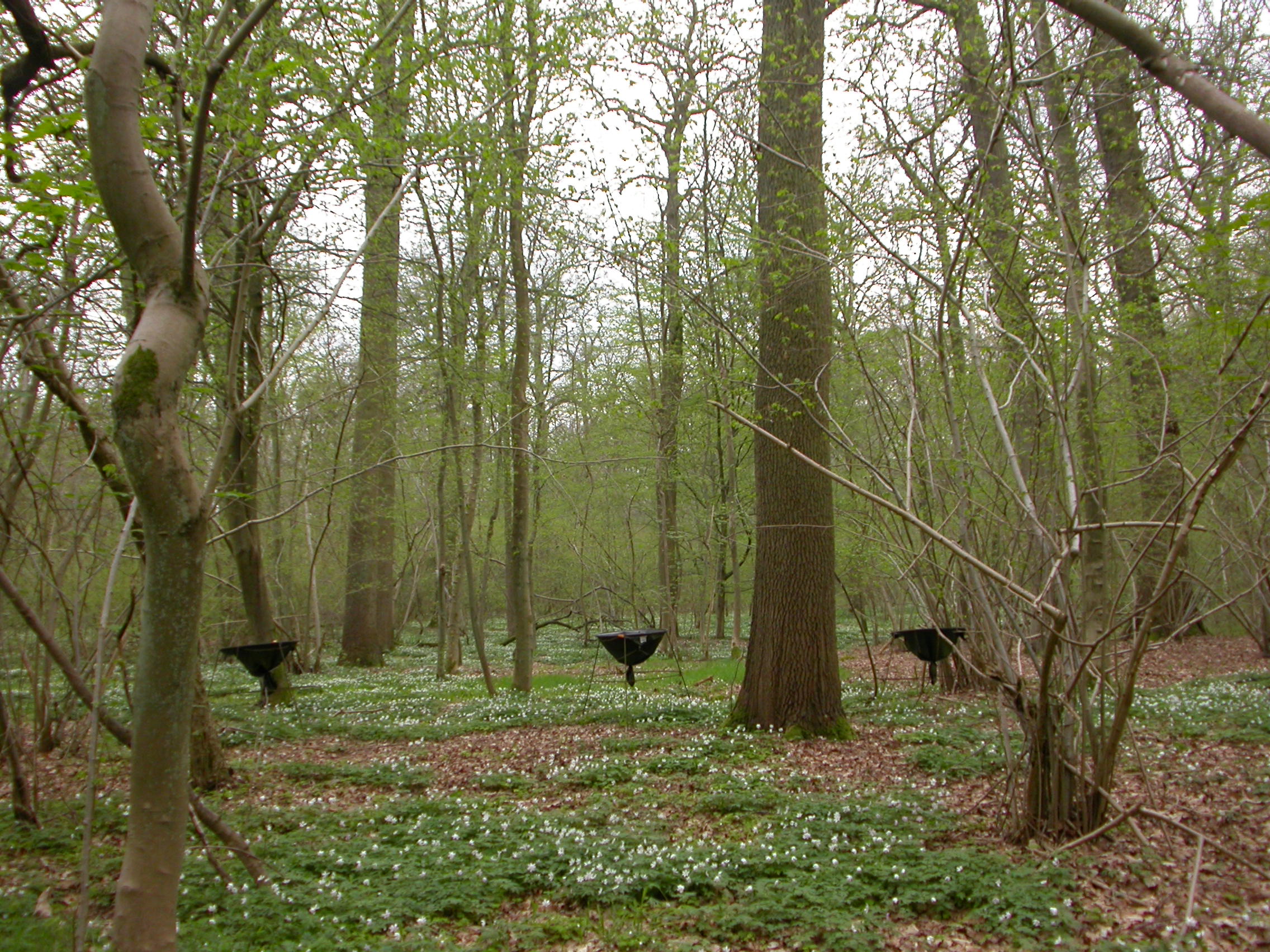
ICP forest monitoring plots: 0.5 ha of fenced stand + 20 m buffer area. Managment, data collection and reserch activities carried on by catholic university of Louvain (UCL)
-
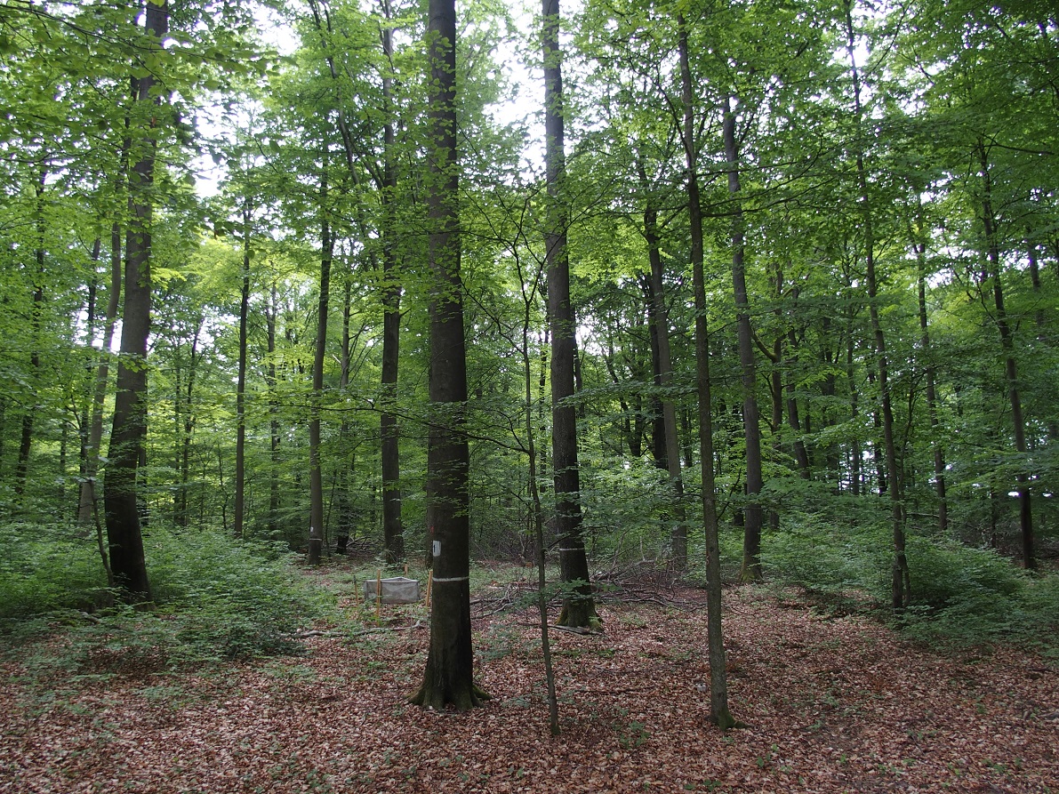
The Forest of Meerdaal is situated on the Belgian loess belt about 25 km south-east of Brussels. It is an ancient woodland site, previously managed as coppice with standards, well known history (up to the middle ages). It is managed as multifunctional forest containing strict forest reserves with dense sampling grid (measured every decade). its proximity to the university make it an ideal research subject. Over the years many different studies have been conducted and documented.
-
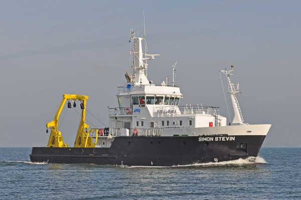
Research Vessel Simon Stevin
-
None
-
Qingyuan Forest CERN was founded in 2003 in montane regions of eastern Liaoning Province, Northeast China (124º54'E, 41º51'N, 500-1100 m a.s.l.). The climate is continental monsoon type with a strong monsoon windy spring, a warm and humid summer, and a dry and cold winter. There is 1350 ha of experimental forests, 80% of which is mixed broadleaved secondary forests and 20% is Korean pine plantations and Larch plantations. In the study area, natural secondary forests dominated by Fraxinus rhynchophylla Hance, Acer mono Maxim., and Quercus mongolica Fisch., etc. have gradually regenerated from the primary mixed broad-leaf Korean pine forests in the early 1950s, and patches of larch plantations have partially replaced secondary forests in the 1960s to meet the increasing timber demands in Northeast China. This typical secondary forest ecosystem is therefore a result of both the secondary forests and the plantations and plays a critical role in carbon sink, conservations of biodiversity and water resource, and protection for Northeast plains & cities and so on. However, the functions of secondary forest ecosystems are quite different from the ones of primary forests. So, we do the basic researches for restoration or improvement of the secondary forest ecosystems by comparing with primary forests. Three research topics are focused on 1) structure, function and regulation of secondary forest ecosystems, 2) main ecological processes under disturbances in secondary forest ecosystems, and 3) degradation and restoration mechanisms of secondary forest ecosystems. Especially we are now interested in the quantifying the forest gap and stand structure with LiDAR, determining the relationships between stand structure and function, and indicating the restoration mechanisms of water conservation functions for secondary forest ecosystems. Furthermore, there is long-term monitoring of water, soil, atmosphere and biology in strict accordance with the request of the Chinese Ecosystem Research Network (CERN).
-

Huai Ma Nai is a small agricultural catchment (93 ha) of northern Thailand, 60 km from the city of Phrae, in a sloping land environment. The objective is to the impacts of land use changes, from mung bean and soya bean to maize, upon hydrological and sedimentary budgets. Agricultural practices are very intensive, based on high quantities of fertilizers, herbicides and pesticides, and mechanized cultivation. The mean slope is 12.9%%. Soils are thin Alfisols and Ultisols with sandy clay loam to clayey texture, high coarse fragment content, low pH, high bulk density and low-medium cation exchange capacity. Monitoring devices include an automatic meteorological station since 2001, and weirs and flume to monitor discharge from nested catchments, suspended sediment and bedload. More information is available on https://mtropics.obs-mip.fr/ and in the following paper: Valentin, C., et al., 2008. Runoff and sediment losses from 27 upland catchments in Southeast Asia: Impact of rapid land use changes and conservation practices. Agric. Ecosyst. Environ. 128, 225–238. https://doi.org/10.1016/j.agee.2008.06.004