
soil matrix water potential
Type of resources
Available actions
Topics
Keywords
Contact for the resource
Provided by
Years
Formats
Representation types
-
The WegenerNet climate station network Feldbach region is a pioneering weather and climate observation experiment at very high resolution located in Eastern Styria near the city of Feldbach in Southeast Austria, a region characteristic for experiencing a rich variety of weather and climate patterns. The network comprises 156 meteorological stations measuring temperature, precipitation, and other parameters, in a tightly spaced grid within an area of 23 km x 18 km centered near the city of Feldbach (46.93°N, 15.90°E). With its stations every about two square-km (area of about 300 square-km in total), and each station with 5-min time sampling, the network provides regular measurements since January 2007. As of 2010 a complementary meteorological-hydrological network of several stations was added in the mountainous upper Styrian region of National Park Gesaeuse as contribution to the LTER site Johnsbachtal (the "sister site" LTER_EU_AT_029_001 of this site LTER_EU_AT_029_002, both affiliated with the LTSER Platform Eisenwurzen). As part of the Johnsbachtal site, the WegenerNet Johnsbachtal consists of fourteen mountain-proof stations within a region-scale of about 10 km, ranging from valley altitudes below 700 m to mountain tops higher than 2100 m. The WegenerNet at both sites together provides strong value for both alpine foreland and mountain region studies.
-
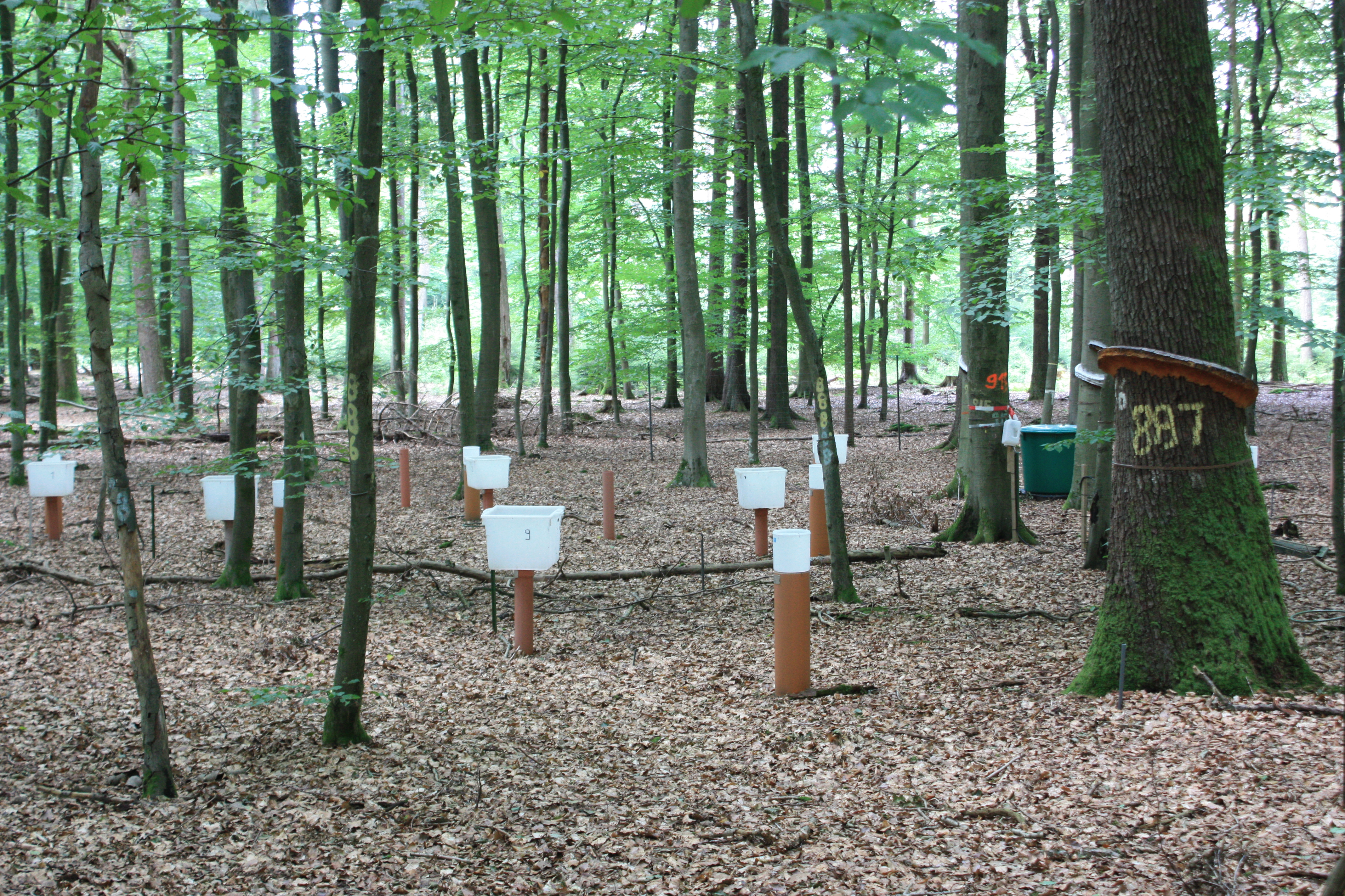
Soil data of LTER Zöbelboden, Austria. Soil inventory is carried out since 1992 on regular positions (approx 65) in the catchment measuring soil chemistry. Soil water chemistry is measured in forest plots (2-3) using lysimeter sampling and analyses on a bi-weekly to monthly basis. Soil hydraulic characterizations exist for the major soil types in the catchment. Soil CO2 and N2O respiration data is available for some years
-
The site comprises 4 km stretch of a complete alluvial floodplane managed as a private nature reserve some 10 kilometer upstream of the city of Leuven. Since 1990, human interference in the river channel has stopped resulting in a spontaneous meander evolution and roughening of the river channel. This has induced frequent (e.g. yearly) inundations, thus avoiding flood damage in the city of Leuven downstream and this without creating the usual storm basins.
-
The Wüstebach catchment is located in the Eifel National Park and covers an area of 38.5 ha, with mean altitude of about 610 m. The geology is dominated by Devonian shale, which is covered by a periglacial solifluction layer of about 1–2 m thickness. Cambisols and Planosols have developed on the hillslopes, whereas Gleysols and Histosols have formed in the valley. The main soil texture is silty clay loam and the litter layer has a thickness between 0.5 and 14 cm. The mean annual precipitation is about 1200 mm. Norway Spruce planted in 1946 is the prevailing vegetation type. During late summer/early autumn of 2013, trees were almost completely removed in an area of 9 ha by the national park forest management in order to promote the natural regeneration of near-natural deciduous forest from spruce monoculture forest.
-
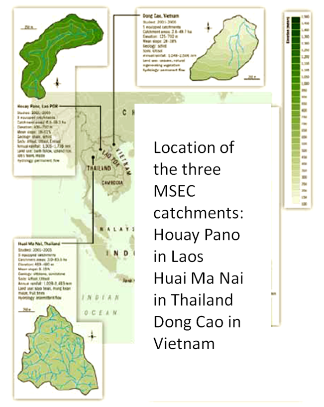
Dong Cao is a small agricultural catchment (47 ha) of northern Vietnam, located at 70 km from Hanoi, in a sloping land environment. The objective is to monitor the impacts of land use changes (from cassava to fodder and tree plantations) and possible climate changes upon hydrological and sedimentary fluxes and budgets. The catchment has an elevation of 125 m to 485 m and slopes range from 15 to 120%. Monitoring devices include an automatic meteorological station, and weirs to monitor discharge, suspended sediment and bedload. More information is available on https://mtropics.obs-mip.fr/ and in the following paper: Valentin, C., et al., 2008. Runoff and sediment losses from 27 upland catchments in Southeast Asia: Impact of rapid land use changes and conservation practices. Agric. Ecosyst. Environ. 128, 225–238. https://doi.org/10.1016/j.agee.2008.06.004
-
Quercus robur and Pinus silvestris forests on glacio-fluvial sediments
-
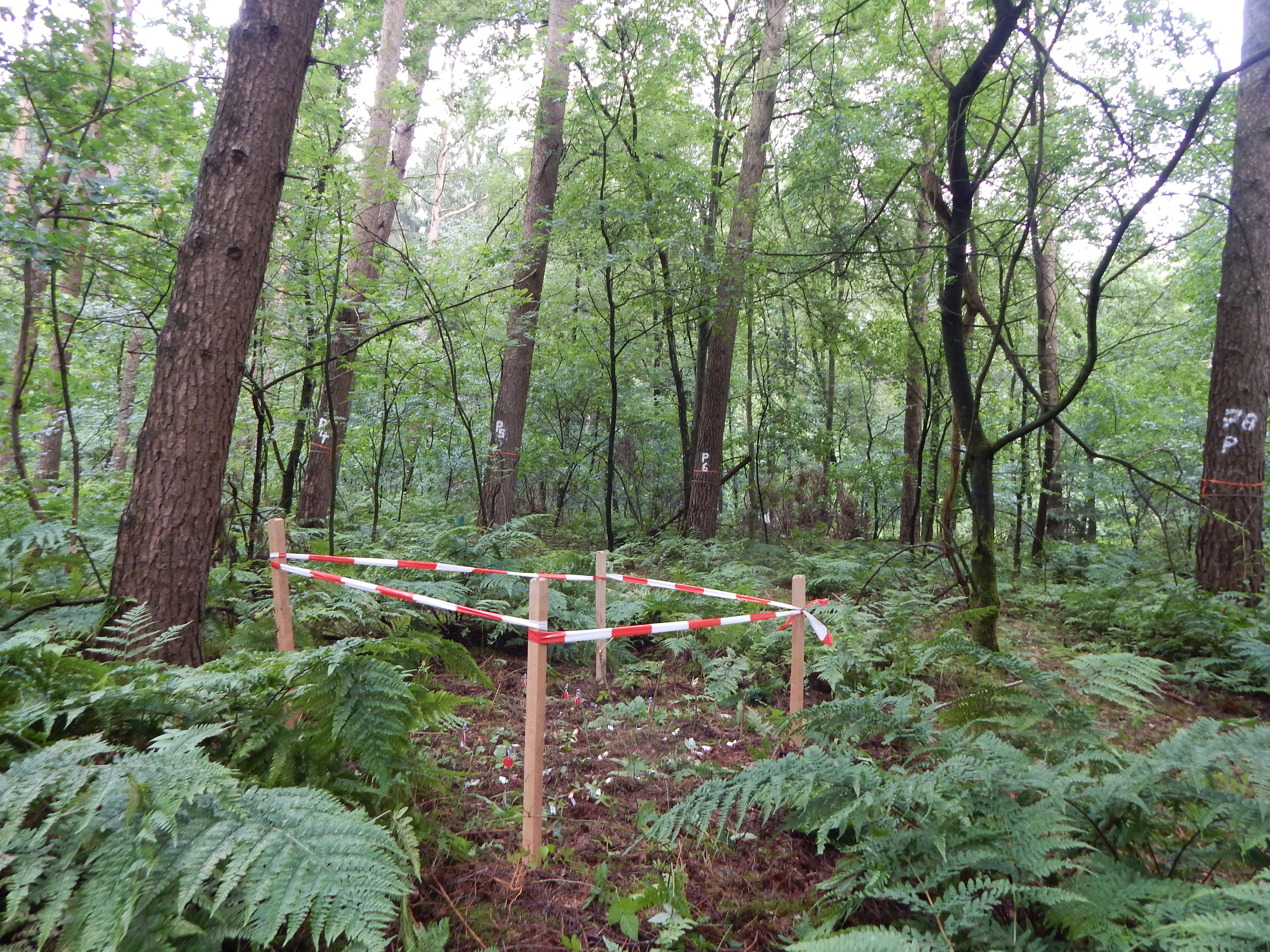
Intensive Forest Monitoring site with Pinus silvestris - Betula pendula forest
-
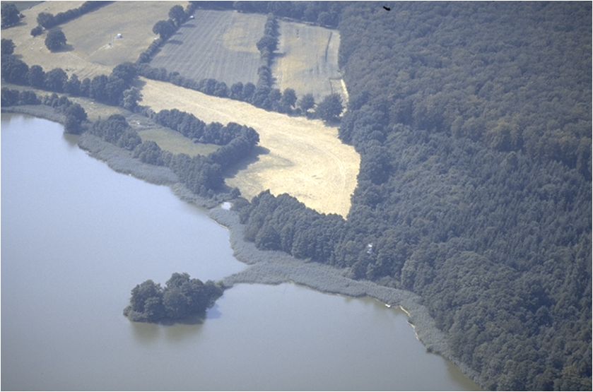
Ensemble of agricultural and forestry systems in a catchment area of five consecutively connected lakes
-
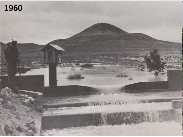
The site established in 1958. We can still find in the site the remains of terraces from the Nabatean agriculture runoff. The main research topics that being studied in the site are: biodiversity, climate change, runoff hydrology
-
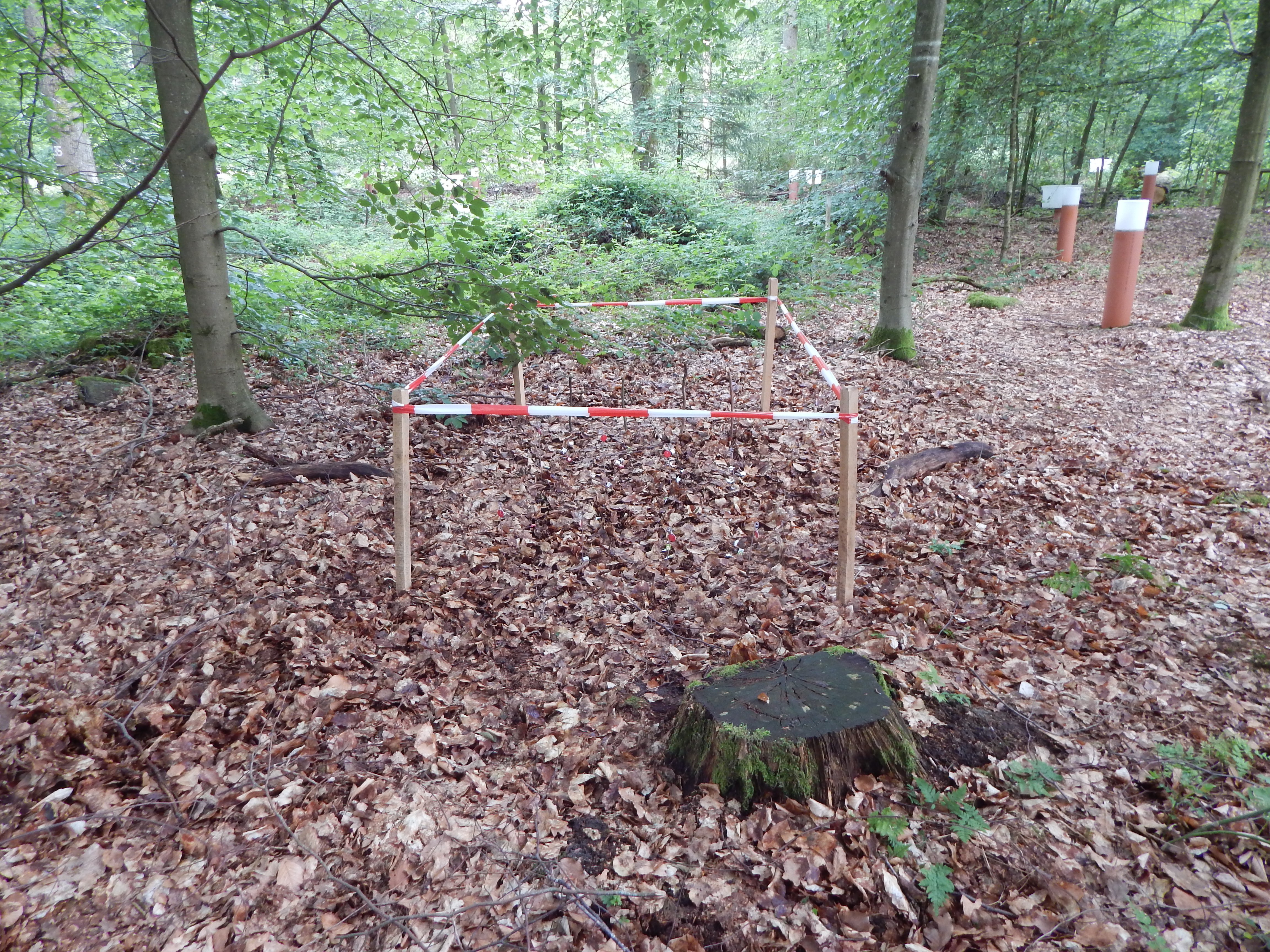
mixed Fagus sylvatica - Quercus petraea forest on glacio-fluvial sediments