
soil pore structure
Type of resources
Available actions
Topics
Keywords
Contact for the resource
Provided by
Years
Formats
Representation types
-
None
-
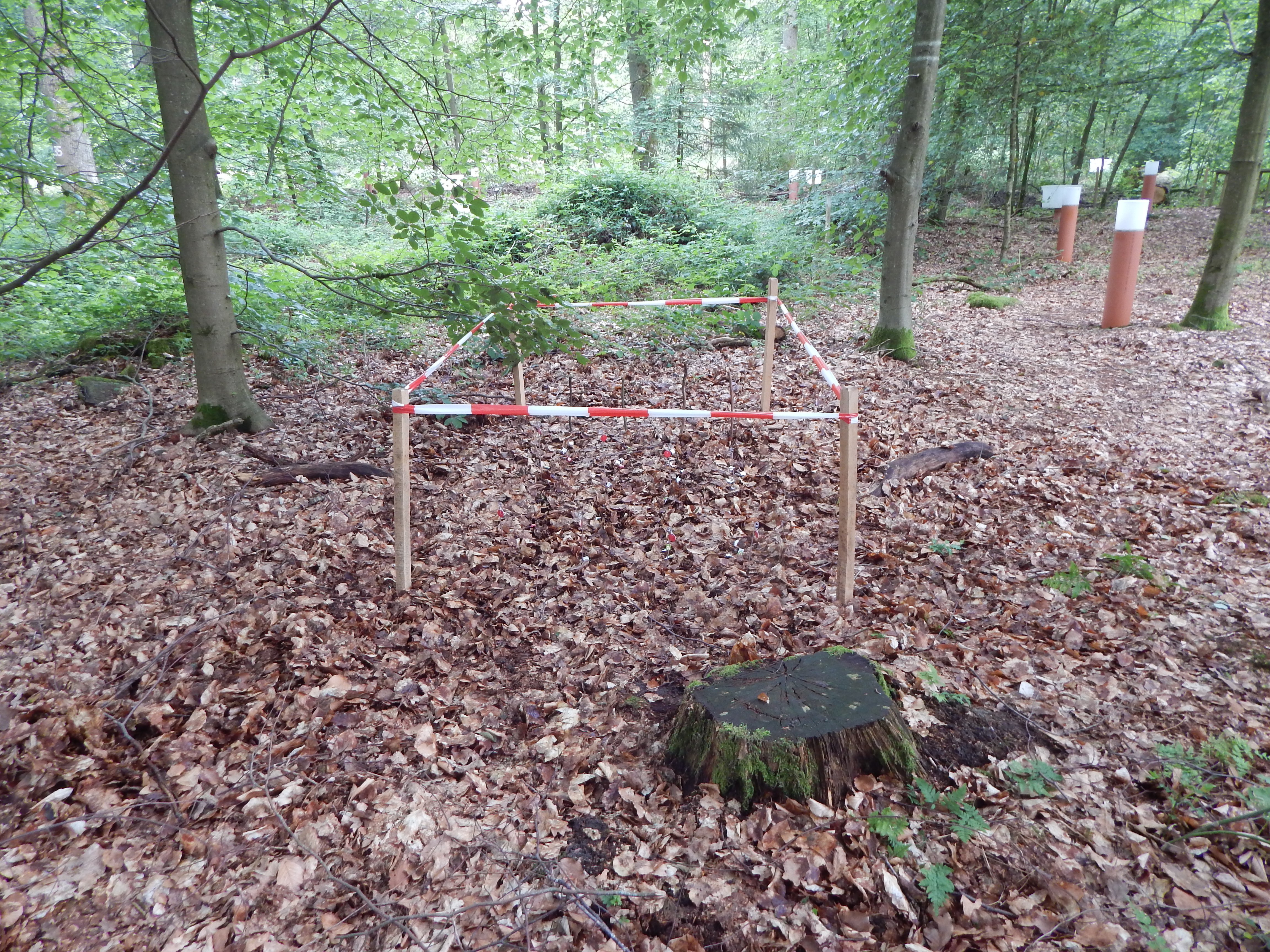
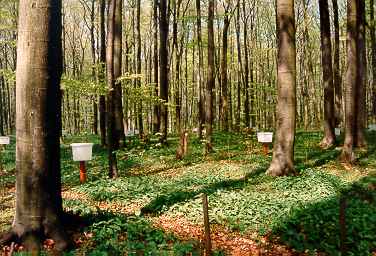
The study plot was established by the Institute of Forest Ecology (Mendel University in Brno) in 1968, namely in connection with the UNESCO International Biological Programme (IBP) and the UNESCO programme “Man and the Biosphere” (MAB). Research was aimed at the primary production, element and water cycling and the secondary production of invertebrates, birds and small mammals. It refers to a semi-natural floodplain forest free of management measures characterized by the Ulmeto-Fraxinetum carpineum forest type group. Dominant tree species are as follows: Fraxinus excelsior, Quercus robur, Populus nigra, Tilia platyphyllos, and Acer campestre. In consequence of flood control, the local floodplain forest was affected by changes in the water regime (absence of natural floods, fall of the groundwater table) from 1972. In the course of the 1970s and 1980s, it resulted in the insufficient supply of water. Since the 1990s, revitalization measures have been carried out (increasing the ground water level by means of channels) for improving forest health. Changes in the water regime have resulted in the improving condition of the floodplain forest ecosystem that has been documented owing to LTER on the site. Following research activities are carried out there: (i) monitoring selected parameters of the stand microclimate and mesoclimate, (ii) evaluating the moisture balance in the forest ecosystems, (iii) evaluating the water regime and moisture conditions of the floodplain forest ecosystem, (iv) evaluating temperature and moisture conditions, (v) research into the water relations of trees, (vi) evaluating long-term changes in the synusia of small terrestrial mammals of the floodplain forest, and (vii) evaluating decomposition processes.
-

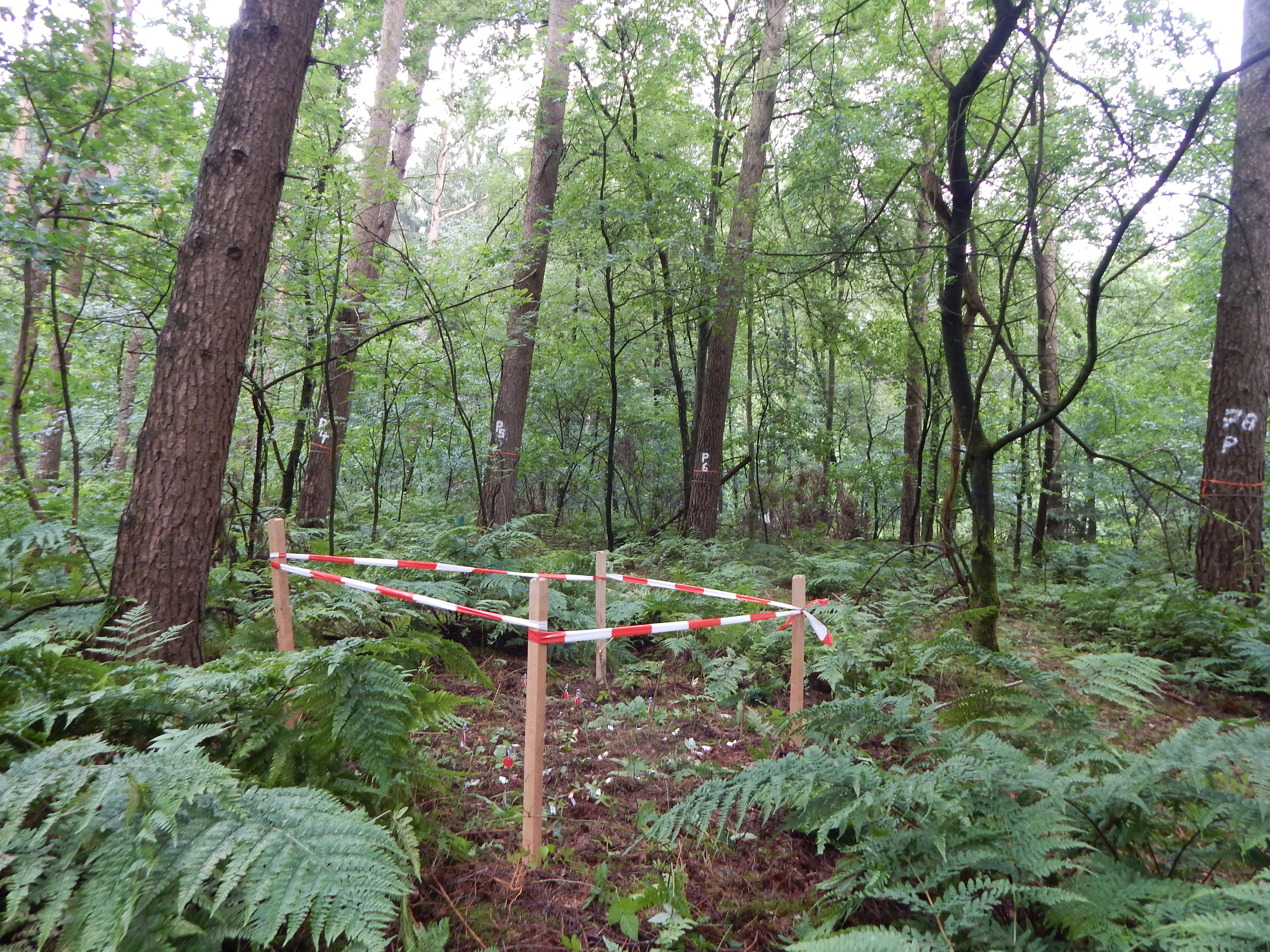
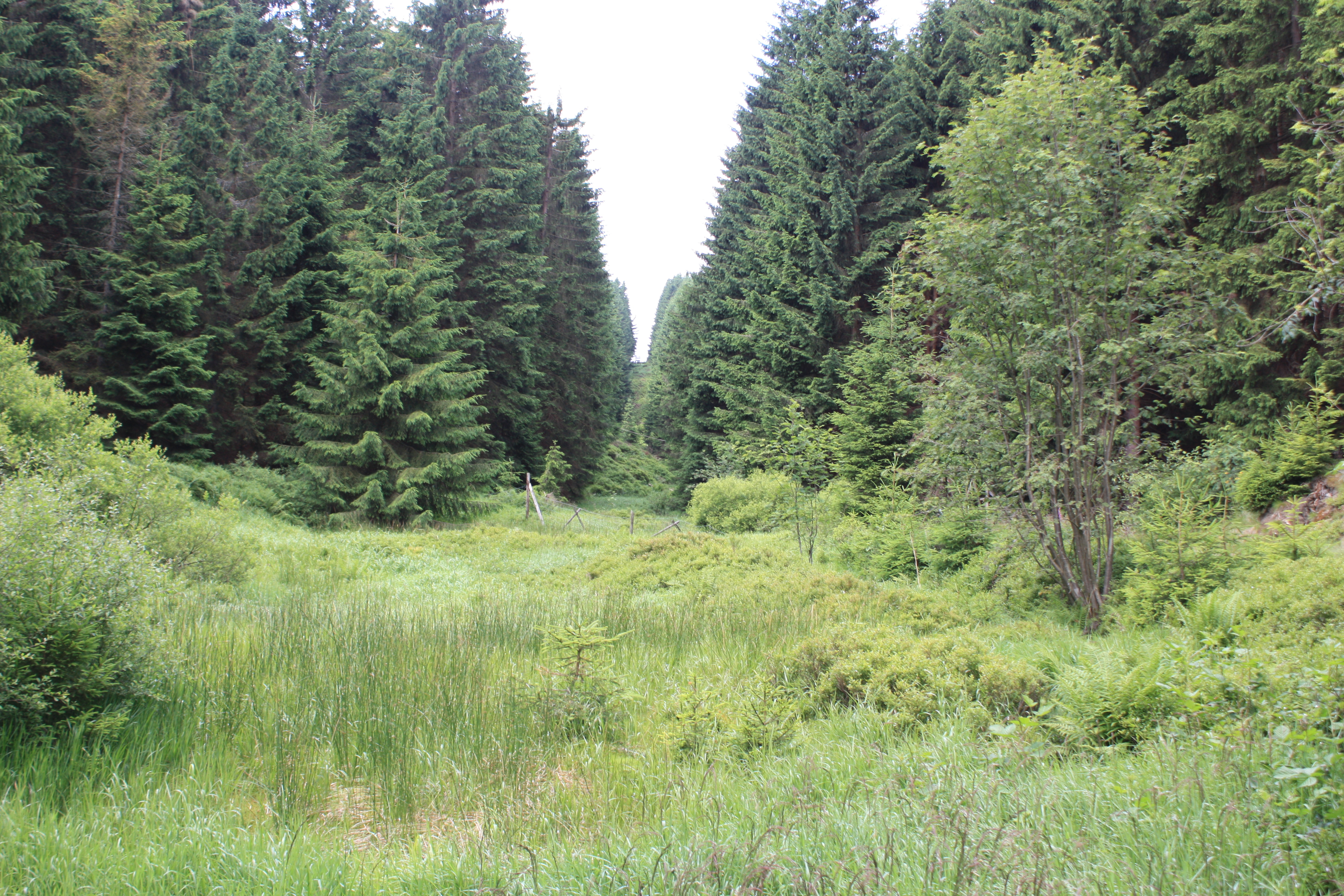
The study plot was established by the Institute of Forest Ecology (Mendel University in Brno) in 1968, namely in connection with the UNESCO International Biological Programme (IBP) and the UNESCO programme "Man and the Biosphere" (MAB). The study plot is carried out in the natural forest region 30 – Drahanská Vrchovina upland (Drahanský bioregion, 1.52) about 1 km west of the village of Němčice in the Czech Republic on the modal oligotrophic Cambisol (KAmd´) of a fir-beech forest vegetation zone (4 FVZ) with forest type 5S1 – Abieto-Fagetum mesotrophicum with Oxalis acetosella (4AB3 – Fageta quercino abietina, union Luzulo-Fagion, association Luzulo-Fagetum) at an a altitude of 600–660 m at sites of autochthonous mixed forests. Research is aimed at ecological aspects of the transformation of spruce monocultures and optimation of management procedures at the application of sustainable management in forests. Recently, research is aimed at possibilities of the adaptation of forest stands on effects of an expected climate change. The main oriented research in present is: (i) study of mesoclimate and microclimate, (ii) evaluation of water balance, (iii) phenology of tree species, (iv) study of biogeochemical cycle (carbon, nitrogen, sulphur), (v) study of decomposition and soil processes, and (vi) evaluation of biodiversity.
-
Quercus robur and Pinus silvestris forests on glacio-fluvial sediments
-
Intensive Forest Monitoring site with Pinus silvestris - Betula pendula forest
-
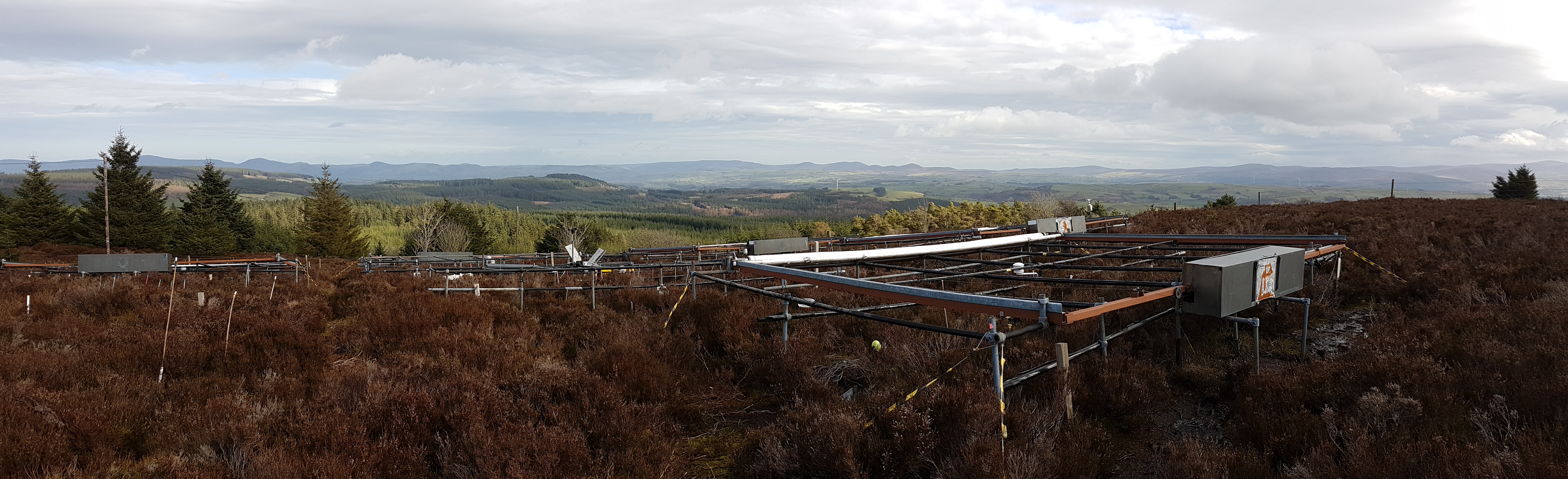
The site is located in Clocaenog Forest in North East Wales (53o 03’ 19’’N -03o 27’ 55’’ W). It is a typical upland west-atlantic moorland, dominated by the evergreen shrub Calluna vulgaris (heather). Heather makes up >60% of the plant biomass at the site, but Vaccinium myrtillus and Empetrum nigrum are also present.
-
Ensemble of agricultural and forestry systems in a catchment area of five consecutively connected lakes
-
Fagus sylvatica forest on limestone plateau
-
Forest Hydrological Research Basin Lange Bramke
-
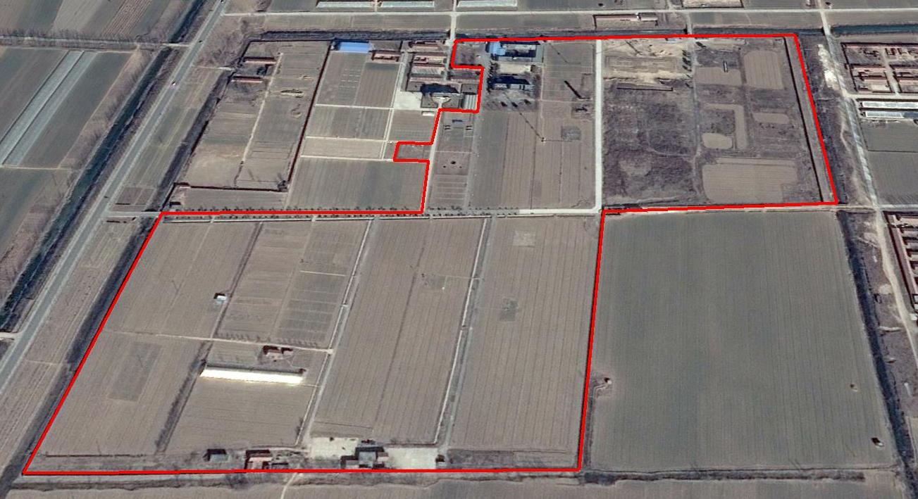
The Yucheng Comprehensive Experiment Station (YCES) of Chinese Academy of Sciences (CAS) is located at the irrigation district of the Yellow River Basin in the Huang-Huai-Hai Plain, also called North China Plain. Physiognomy is characterized as hinterland covered mainly by fluvo-aquic soil (Fluvisol or cambisal) and salinized fluvo-aquic soil in the Yellow River Alluvial Plain. This region is dominated by warm-temperate semi-humid monsoon climate with ample energy and water resources. Historically, natural disasters such as drought, waterlogging, salinization, and wind erosion frequently occurred, resulting in vulnerable ecological environment and low grain production. Integrated improvements and managements were deployed in last several decades, and this region has become suitable for planting winter wheat, corn, cotton, and soybean with high yields in the Huang-Huai-Hai Plain. Research objectives and contents Objectives: regional sustainable agriculture rational utilization of natural resources such as water, land, climate, biomass, etc. Contents: conducting long-term observations and experiments understanding the mechanism of energy transfer and mass cycle in farmlands developing models from point to regional scales improving and developing instruments and measurement methods improving agro-ecosystem managements demonstrating research results and technologies Research achievements: Outstanding research results and massive experiment data have been achieved at the YCES. The achievements cover research fields of farmland evapotranspiration, crop water use, water transfer mechanism, experimental remote sensing techniques, regional agriculture demonstration, and technology transfer. More than 1,000 papers, 15 monograph books, and 5 data sets have been published. A number of awards were granted by national, CAS, and international academic organizations, for example, Agriculture Prize granted by the Third World Academy of Sciences Science and Technology Progress Award by Chinese Academy of Sciences National Top Award of Science and Technology Progress