
soil salinity
Type of resources
Available actions
Topics
Keywords
Contact for the resource
Provided by
Years
Formats
Representation types
-
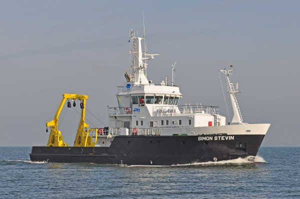
Research Vessel Simon Stevin
-
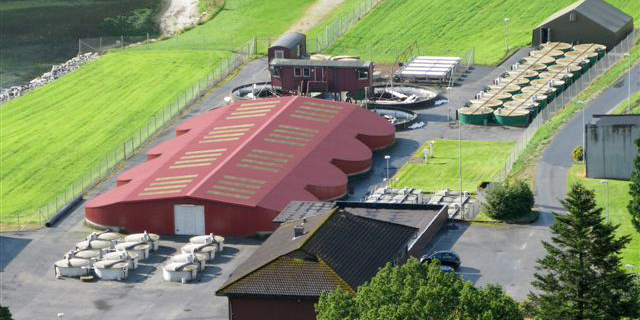
The station has a arid moderate climate, with a annual temperature of 11.2 ℃ but higher in summer and lower in winter relative to areas with the same latitude. Due to dramatic temperature fluctuation in spring and autumn, frozen damage resulted from low temperature in spring and early cooling in autumn often occurs. The annual mean precipitation is as low as 45.7 mm, thus rivers are charged mainly by precipitation in mountains and snowmelt. Frozen-free day, sunshine duration and annual mean wind velocity are, respectively, 207 d, 2940 h and 2.4 m/s. Disaster weather includes dust storm in spring, hail and accidentally continuous high temperature in summer.Aksu station (E80°51′, N40°37′, 1028 m a.s.l.), found in 1982 and affiliated with Xinjiang Institute of Ecology and Geography, was listed in the top-5 stations for irrigation experiment in Xinjiang and became a member of special environment and disaster detection network, CAS in 2002. After development of years, it entered National Field Station Network and Chinese Ecosystem Research Network (CERN) in 2005. The station is located in the source area of Tarim River where its three headstreams (i.e., Aksu, Yeerqiang and Hetian River) converge, and the vastest oasis develops in Tarim Basin under the hyperarid environments. This area is typical of Tarim Basin for dramatic watercourse meandering and great agro-water consumption, thus forming a ideal experimental field for monitoring and researching water, salt and nutrient processes in oasis cropland system, as well as for exploring sustainable oasis agriculture, theory and technologic demonstration of water-saving irrigation.
-
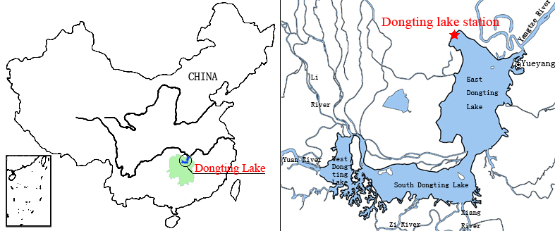
Dongting Lake Station (29º30'N, 112º48'E) located in East Dongting Lake in Yueyang City, Hunan Province. The station has good geographical advantage, convenient transportation, for about 180 kilometers from Changsha, the capital of Hunan Province. Dongting Lake located in the northeast of Hunan Province, the south shore of Jing River (in the middle of the Yangtze River) is the second largest freshwater lake of China.
-
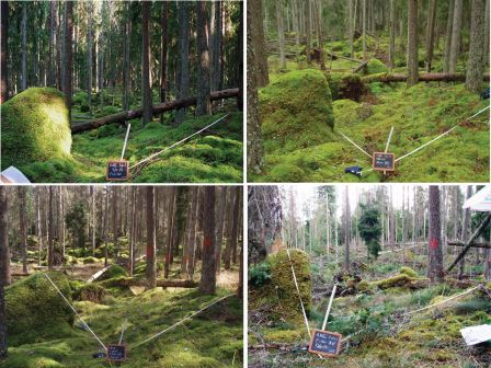
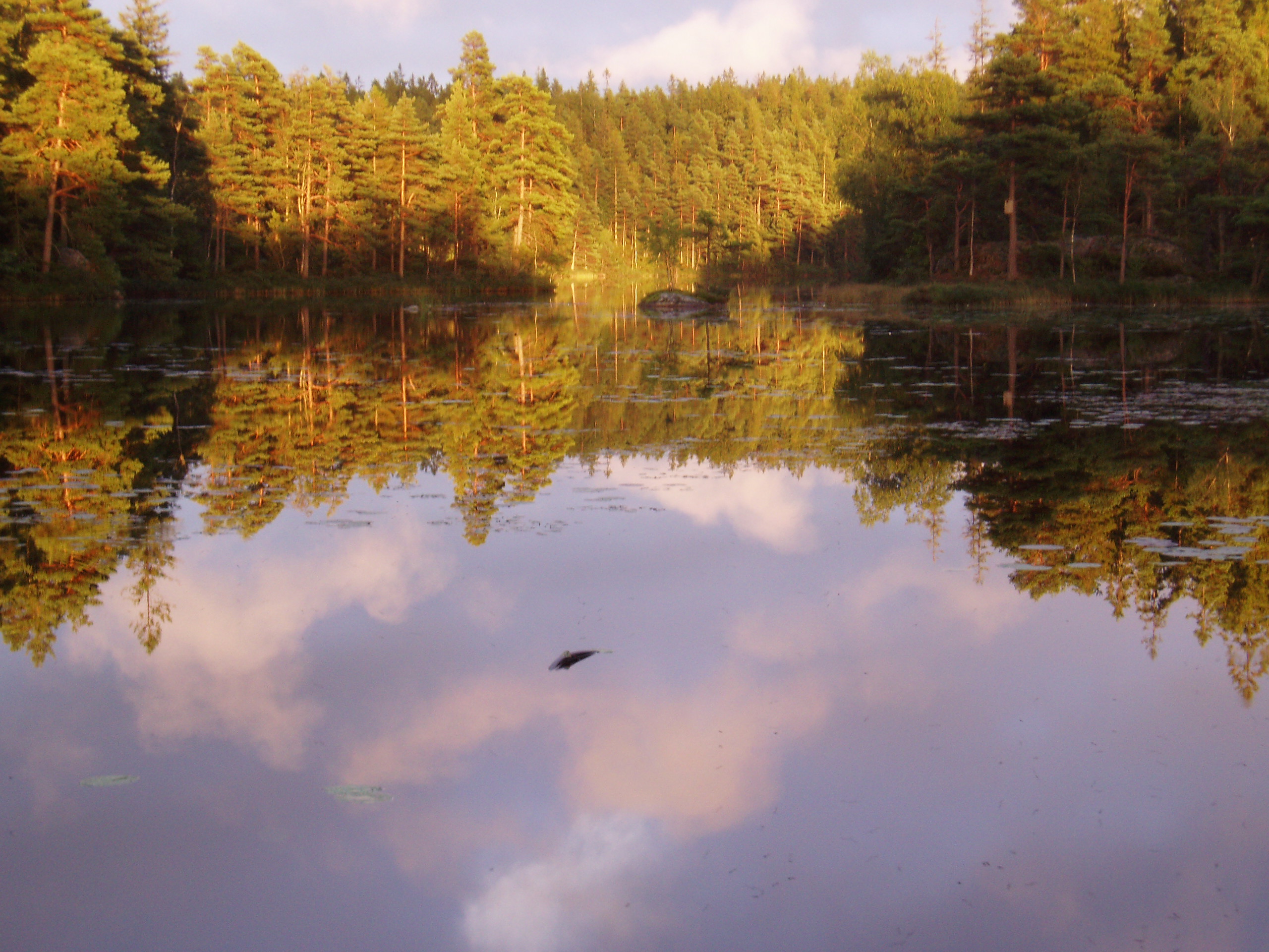
Nature reserve, Natura 2000, Protected coniferous blueberry forest, catchment, IM site, Podzol soil.
-
NINA Aquatic Research Station, Ims provides advanced research facilities on aquatic research, primarily focused on fish ecology
-
Nature reserve, Natura 2000, protected coniferous blueberry forest.
-
KISKUN LTER was established in 1995, together with the Hungarian LTER Network. Its study area is the Kiskunság Sand Ridge and its periphery, 14000 km2 altogether, 17% of the area of Hungary. The primarily sandy area is extremely heterogeneous. It consists of arable lands, planted forests, meadows, abandoned fields, settlements, alkaline lakes, wetlands, and species rich remnants of forest steppe. It is also very varying in time: ploughing and setting aside, extensive plantation of alien trees, drainage, wild fires, biological invasions, and fast demographic movements have been happening in the last 100 years, and beyond all those, the area is particularly sensitive to the climate change.
-
The basis for the Spiekeroog Coastal Observatory (SCO) was established in 2002 as the Time Series Station Spiekeroog. The Coastal Observatory seized preceding research initiatives and grew continuously to the recent observational infrastructure including a multitude of elements and parameters. Today, the SCO and the conducted research around, improve our understanding of environmental change and anthropogenic impacts on coastal areas along the land-sea interface. The unique characteristic of the SCO can be found within this interdisciplinarity of the element sites operated in the largest tidal flat region worldwide.
-
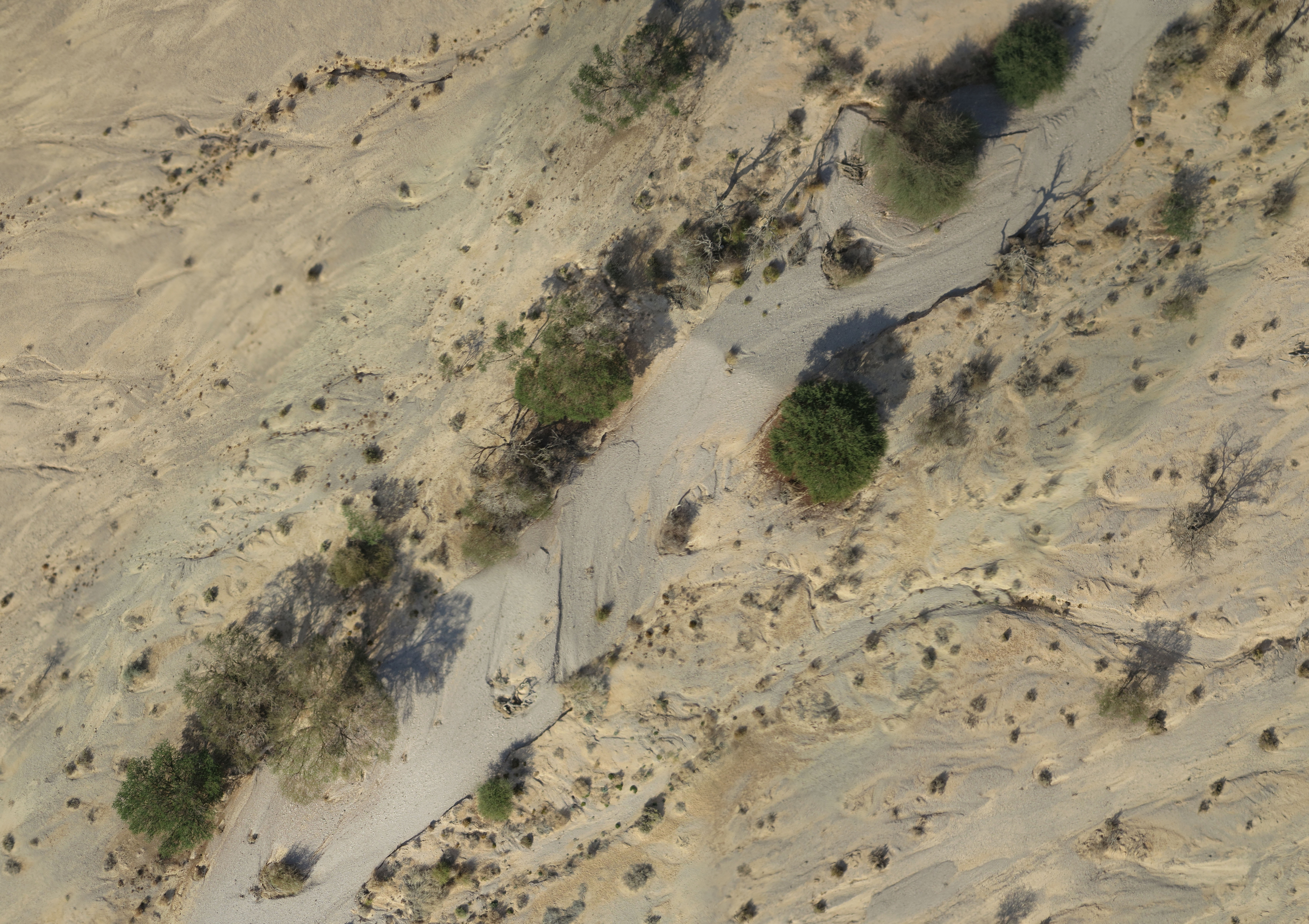
A small watershed that collects floods and run-off. The lowest place is home to a (relativity) dense Acacia savana. The slopes are completely bare. The wadi is covered with alluvium resting on a 6 m layer of red surface of late Pleistocene, which includes silt, clay and fine sand. Rainfall is 30 mm
-
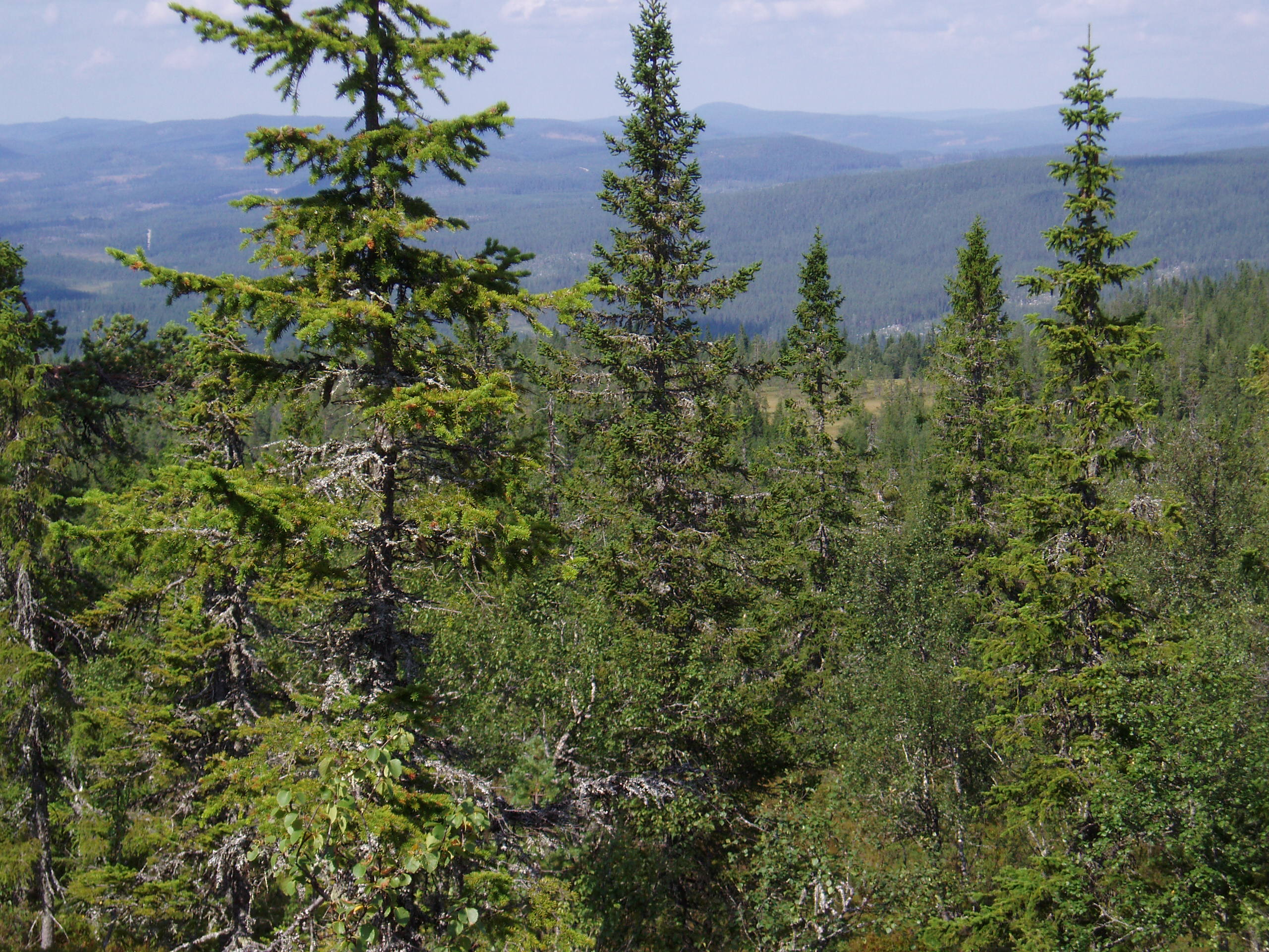
Coniferous forest.