
soil solute amount
Type of resources
Available actions
Topics
Keywords
Contact for the resource
Provided by
Years
Formats
Representation types
-
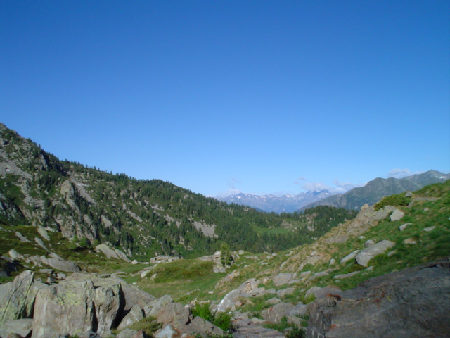
Mars, Mont Mars, (Fontainemore, Aosta)
-
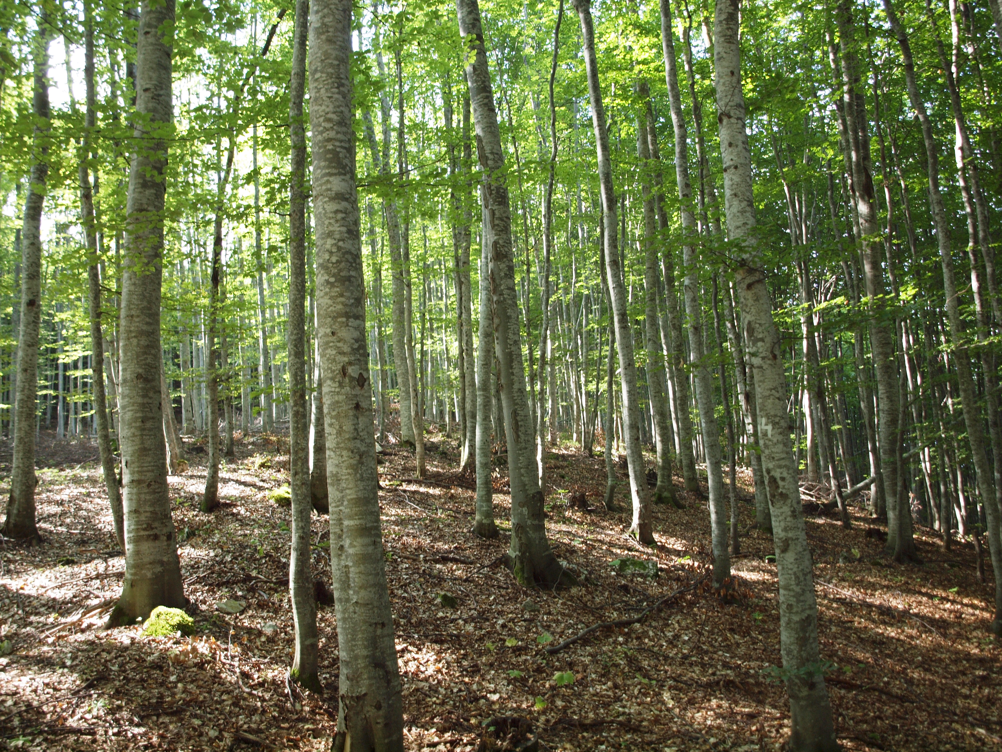
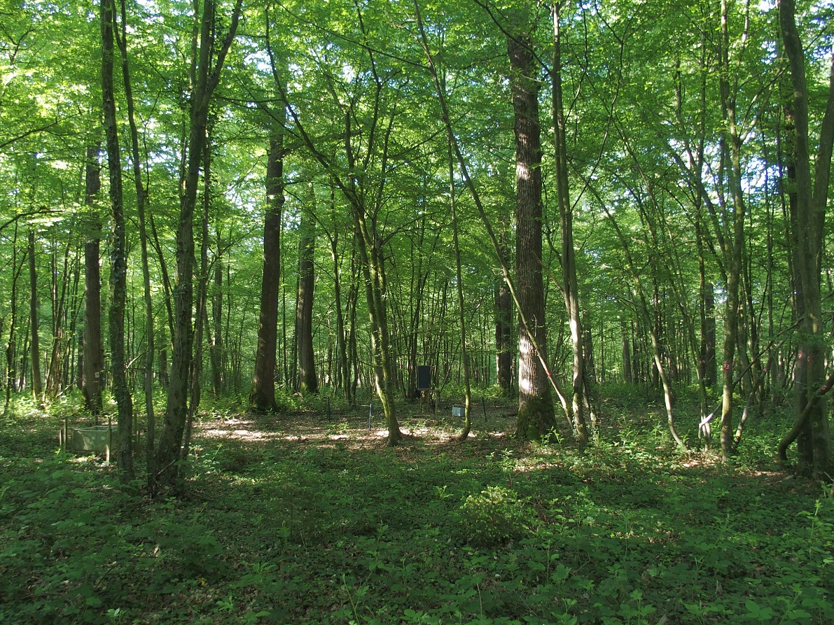
Installed in 1991, Fundata-beech represents an ICP-Forests level II plot, being selected as core plot in Futmon Project. Main parameters investigated in this plot are: crown condition, air chemistry, biodiversity, terrestrial biomass, soil properties, total nitrogen input, phenology, meteorology. The main research topics are: pollution effects, ecosystem structure, biodiversity driven by land use, biodiversity driven by climate change, forest ecology
-
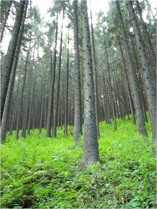
In 1998 a permanent plot (50 x 50 m) was established on the slope of the Nosal Mountain at the height of 970 m asl in 120 year old spruce stand, where in the 120-year-old spruce stand bulk deposition, throughfall and soil solution are collected. The investigations of health status of trees and floral characteristic have been carried out since 2001. The analyses are carried out in a certified laboratory of the Institute for Ecology of Industrial Areas, Katowice (Certificate No AB 325). The basic meteo data are taken from the monitoring station located at Kuźnice (about 1 kn from the plot).
-

Hydrometeorological and biogeochemical observations within 5 embedded catchments (from 0.2 to 14.5 km2). Alpine Mediterranean climate with heavy rainfall and flash floods in automn. The geology is mainly granite. The land use is mainly grassland and forest. More information at http://www.ohmcv.fr
-
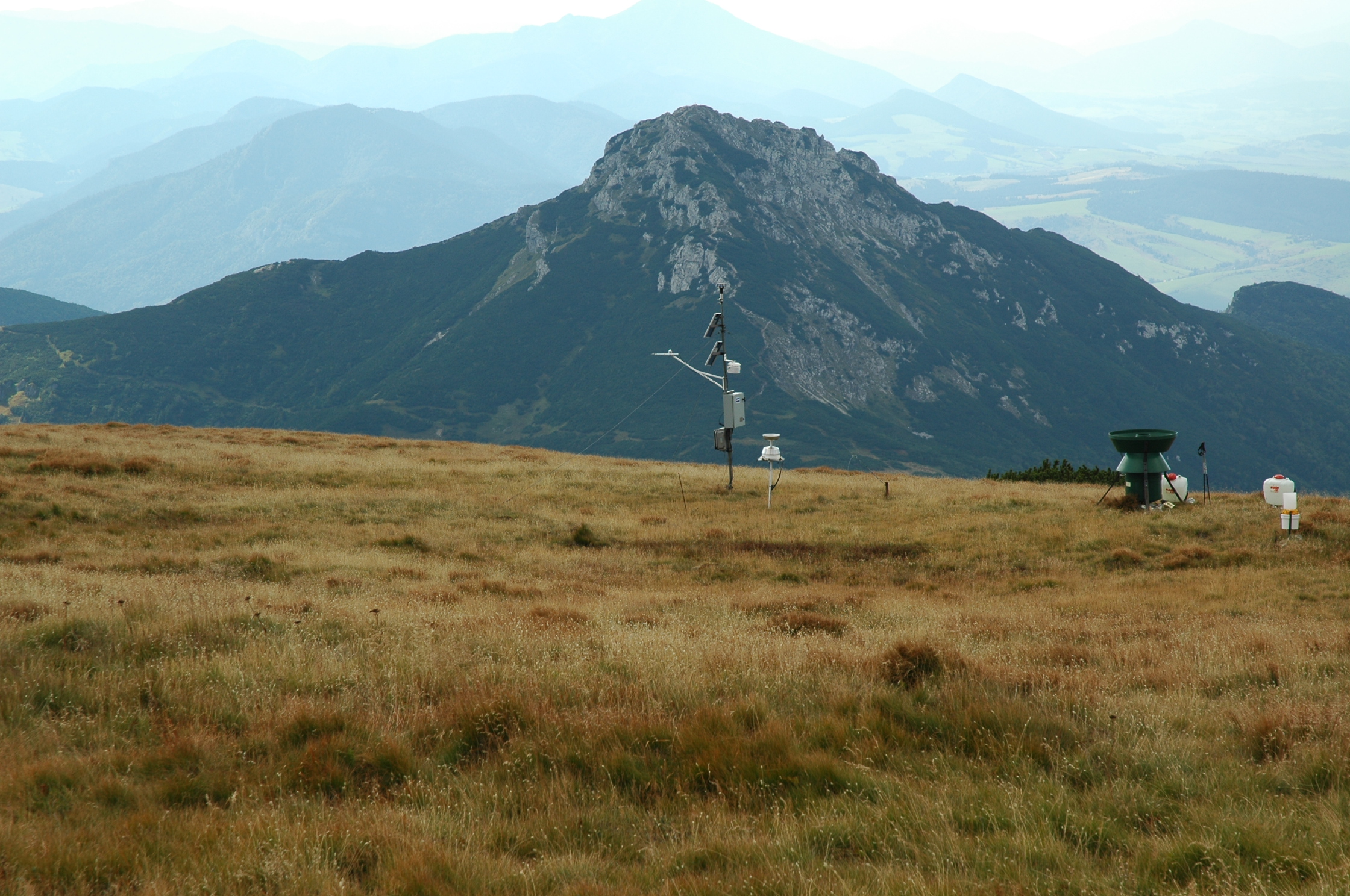
Acid alpine grassland on a ridge extending westward from the summit of Mount Salatın in the Jalovecka dolina valley,Western Tatra Mountains, Tatra National Park, Slovakia. Vegetation at the site belong to the alliance Juncion trifidi and it is dominated by graminoid species, including Oreochloa disticha, Festuca supina and Agrostis rupestris, with lower cover of forb and shrub species. Soils at the site are humic ferruginous podzols, derived from biotite granodiorite parent material.
-
ICP forest monitoring plots: 0.5 ha of fenced stand + 20 m buffer area. Managment, data collection and reserch activities carried on by catholic university of Louvain (UCL)
-
The station has a arid moderate climate, with a annual temperature of 11.2 ℃ but higher in summer and lower in winter relative to areas with the same latitude. Due to dramatic temperature fluctuation in spring and autumn, frozen damage resulted from low temperature in spring and early cooling in autumn often occurs. The annual mean precipitation is as low as 45.7 mm, thus rivers are charged mainly by precipitation in mountains and snowmelt. Frozen-free day, sunshine duration and annual mean wind velocity are, respectively, 207 d, 2940 h and 2.4 m/s. Disaster weather includes dust storm in spring, hail and accidentally continuous high temperature in summer.Aksu station (E80°51′, N40°37′, 1028 m a.s.l.), found in 1982 and affiliated with Xinjiang Institute of Ecology and Geography, was listed in the top-5 stations for irrigation experiment in Xinjiang and became a member of special environment and disaster detection network, CAS in 2002. After development of years, it entered National Field Station Network and Chinese Ecosystem Research Network (CERN) in 2005. The station is located in the source area of Tarim River where its three headstreams (i.e., Aksu, Yeerqiang and Hetian River) converge, and the vastest oasis develops in Tarim Basin under the hyperarid environments. This area is typical of Tarim Basin for dramatic watercourse meandering and great agro-water consumption, thus forming a ideal experimental field for monitoring and researching water, salt and nutrient processes in oasis cropland system, as well as for exploring sustainable oasis agriculture, theory and technologic demonstration of water-saving irrigation.
-
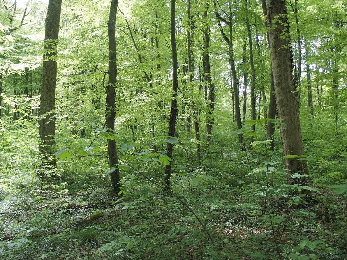
ICP forest monitoring plots: 0.5 ha of fenced stand + 20 m buffer area. Managment, data collection and reserch activities carried on by catholic university of Louvain (UCL)
-
The Słowiński National Park monitoring was established in 1993 and consists of a monitoring station, where the measuring equipment is located, i.e., Wind Speed Meter (Young) pyranometer (LiCo) hygrometers, etc., permanent plots in the 90-year-old spruce and pine stands where bulk deposition, throughfall and soil solution are collected on the monthly basis. The investigations of health status of trees and floral characteristic have been carried out since 1994. The analyses are carried out in a certified laboratory of the Institute for Ecology of Industrial Areas, Katowice (Certificate No AB 325).
-
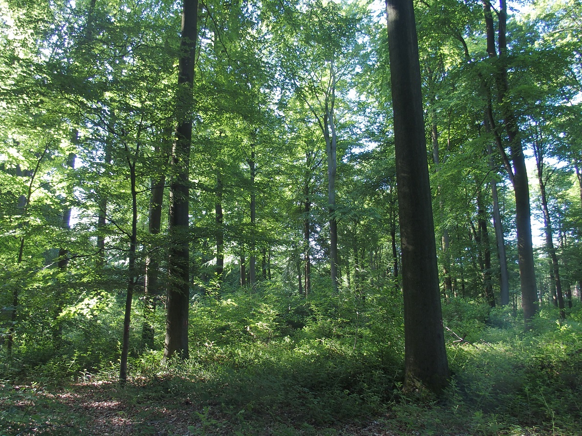
ICP forest monitoring plots: 0.5 ha of fenced stand + 20 m buffer area. Managment, data collection and reserch activities carried on by catholic university of Louvain (UCL)