
soil solution concentration
Type of resources
Available actions
Topics
Keywords
Contact for the resource
Provided by
Years
Formats
Representation types
-
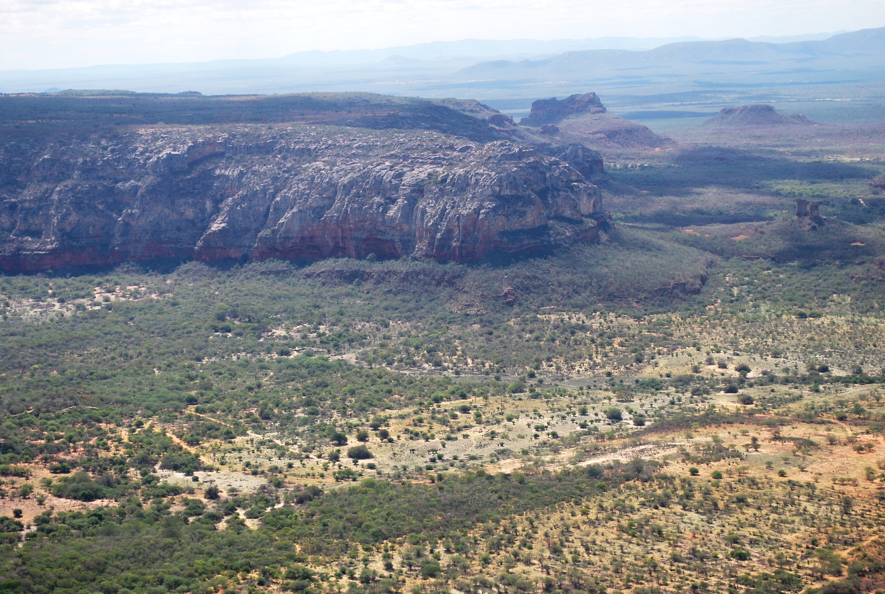
The present proposal aims to assess how human disturbance and changes in rainfall regime affect the Caatinga ecosystem’s biota at different levels of biological organization (i.e, from populations to ecosystem level), by correlating these aspects with the theoretical reference shown in macro trends already documented in the tropics. The project will be developed in Catimbau National Park, a polygon of approximately 63,000 ha, and one of the most important protected areas in the Caatinga. The Park presents vocation for ecological studies of long-term and thus to become an LTER site due to a series of reasons: (1) it has a biological, archaeological and landscape heritage of inestimable value, (2) it shelters areas with different historical land use and anthropic disturbance on the vegetation of Caatinga, (3) there are already in place several research initiatives and training of human resources, and (4) in term of unit management aspects, logistics and infrastructure are favorable for long-term initiatives. Furthermore, the implementation and achievement of this project’s objectives are centered on: (1) establishment of a set of 30 permanent plots, (2) periodic multi-taxa inventories, (3) continuous monitoring of environmental and anthropogenic variables (4) consolidation of biological, land usage and environmental data on the basis of GIS type and (5) dissemination / transfer of information through a wide range of instruments.This proposal will be implemented by a network composed of 23 researchers supported by a number of undergraduate / graduate students, all from six national institutions and three other overseas. The main core of the graduate programs are Plant Biology, Biology Animal and Fungal Biology, all at the Federal University of Pernambuco (UFPE). In summary, the "LTER Catimbau National Park" is an important proposal and has the ability to expand knowledge about how dry biota respond to land use changes and precipitation, with all the implications that these answers may have for the management of biodiversity and the achievement of sustainable development in semi-arid regions.
-
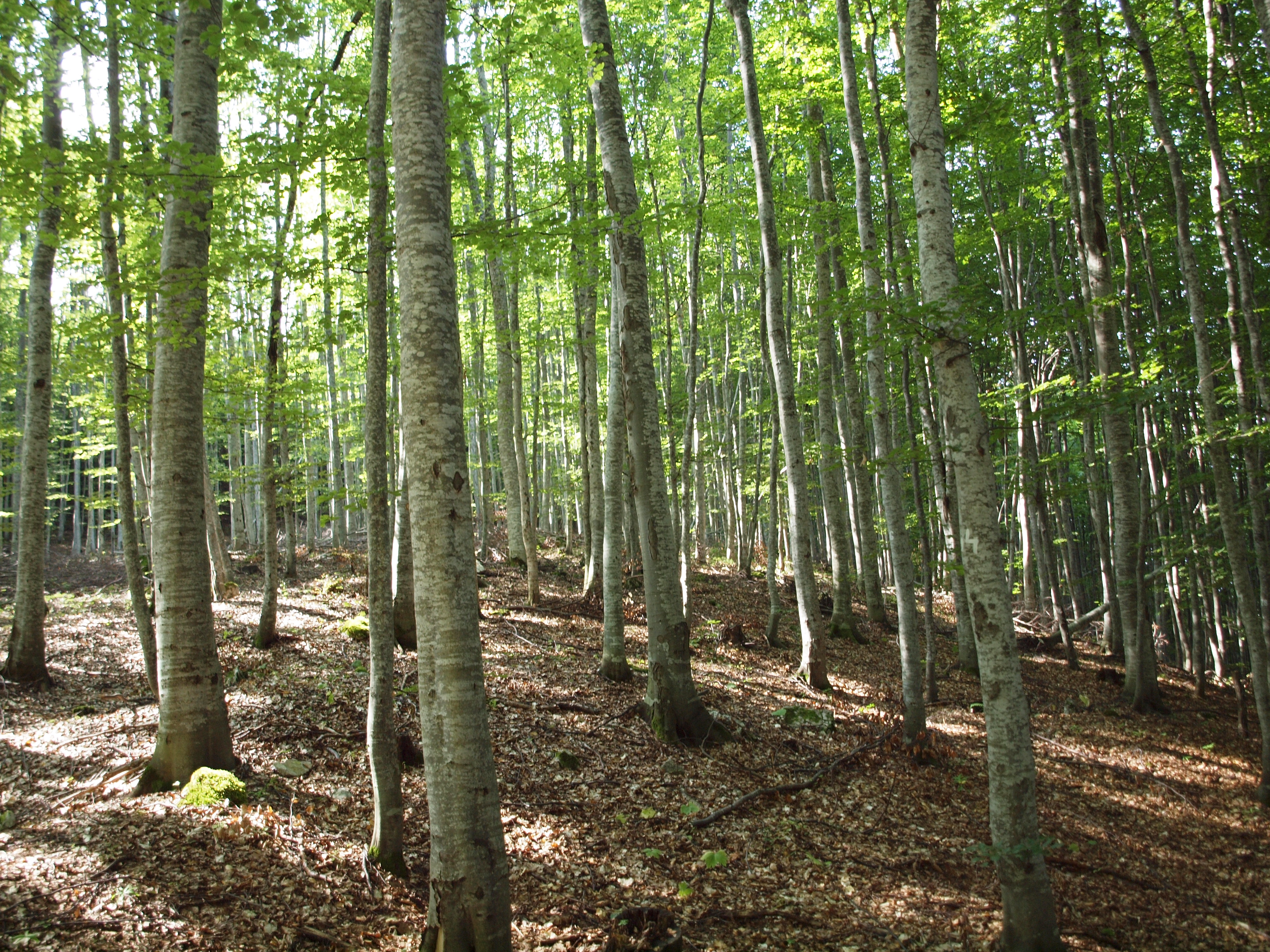
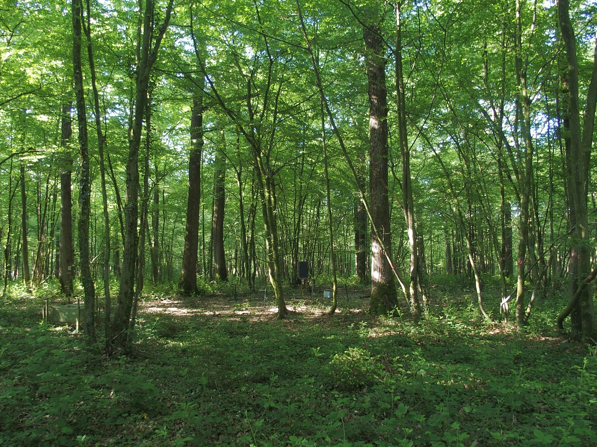
Installed in 1991, Fundata-beech represents an ICP-Forests level II plot, being selected as core plot in Futmon Project. Main parameters investigated in this plot are: crown condition, air chemistry, biodiversity, terrestrial biomass, soil properties, total nitrogen input, phenology, meteorology. The main research topics are: pollution effects, ecosystem structure, biodiversity driven by land use, biodiversity driven by climate change, forest ecology
-
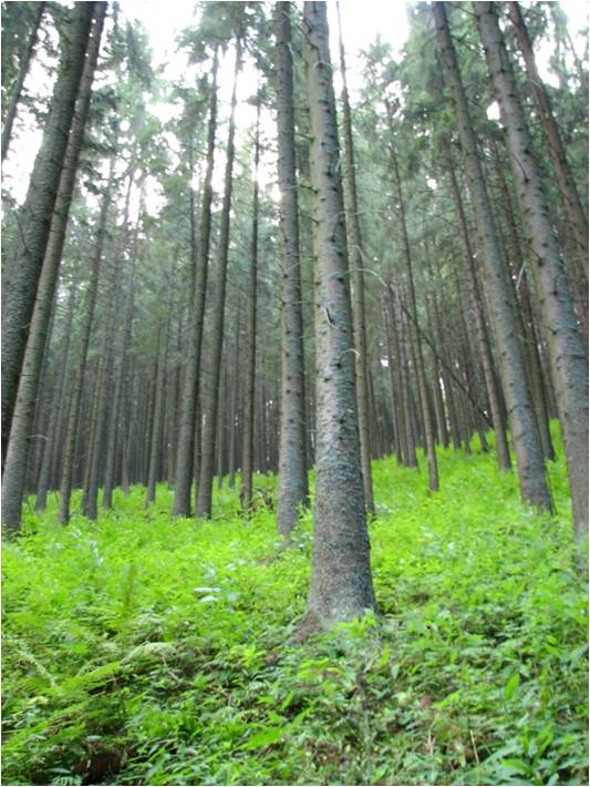
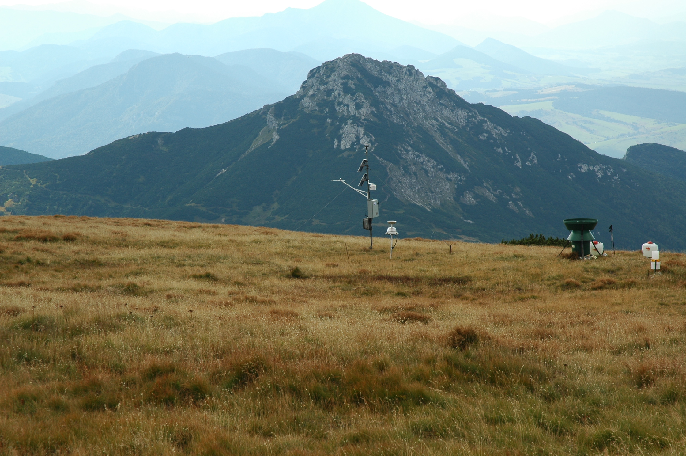
In 1998 a permanent plot (50 x 50 m) was established on the slope of the Nosal Mountain at the height of 970 m asl in 120 year old spruce stand, where in the 120-year-old spruce stand bulk deposition, throughfall and soil solution are collected. The investigations of health status of trees and floral characteristic have been carried out since 2001. The analyses are carried out in a certified laboratory of the Institute for Ecology of Industrial Areas, Katowice (Certificate No AB 325). The basic meteo data are taken from the monitoring station located at Kuźnice (about 1 kn from the plot).
-

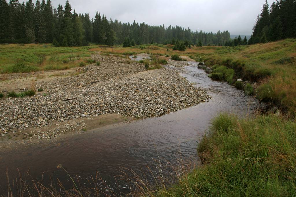
Hydrometeorological and biogeochemical observations within 5 embedded catchments (from 0.2 to 14.5 km2). Alpine Mediterranean climate with heavy rainfall and flash floods in automn. The geology is mainly granite. The land use is mainly grassland and forest. More information at http://www.ohmcv.fr
-
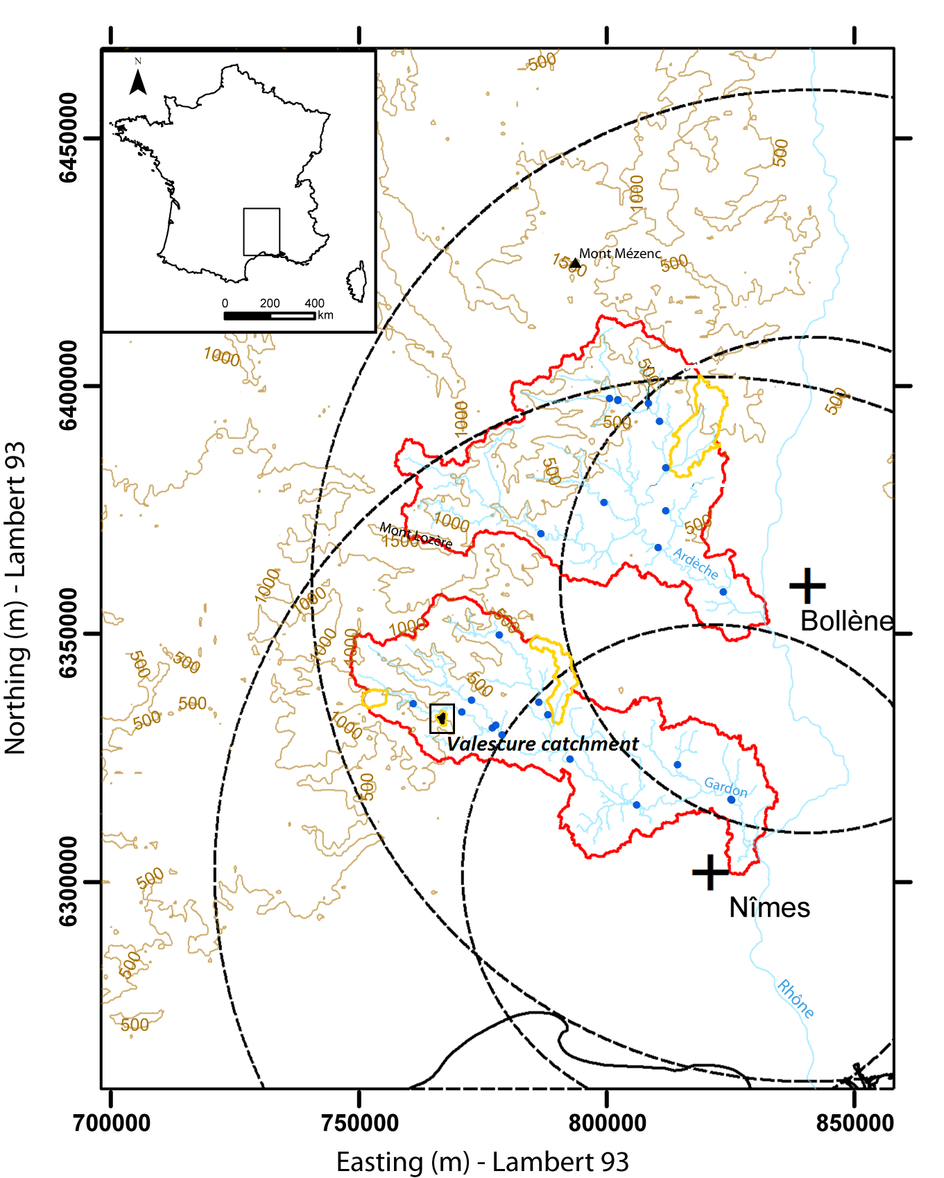
Hydrometeorological observations within 6 embedded catchments (from 0.3 to 3.9 km2). Mediterranean climate with heavy rainfall and flash floods in automn. The geology is mainly granite. The land use is mainly forest. This site is typical of the Cévennes region. More information at http://www.ohmcv.fr
-
Acid alpine grassland on a ridge extending westward from the summit of Mount Salatın in the Jalovecka dolina valley,Western Tatra Mountains, Tatra National Park, Slovakia. Vegetation at the site belong to the alliance Juncion trifidi and it is dominated by graminoid species, including Oreochloa disticha, Festuca supina and Agrostis rupestris, with lower cover of forb and shrub species. Soils at the site are humic ferruginous podzols, derived from biotite granodiorite parent material.
-
The Šumava Biosphere Reserve, which includes the Šumava National Park, was established as a Czech LTSER platform in 2008. Its territory covers most of the Czech part of the Bohemian Forest (Šumava in Czech, Böhmerwald in German) along the historical border of Bohemia with Bavaria (Germany) and Austria. The Bohemian Forest creates the most extensive forest landscape in Central Europe, where primeval mountain forest remnants, glacial lakes, peat bogs, and mountain secondary grasslands are home to various communities of vegetation and animal species. The centre of this region is preserved as the Šumava National Park (680 km2). Human colonisation and exploitation of the Bohemian Forest has a long history accelerated during the Middle Age and caused gradual changes in land use. Deforestation and agriculture as well as local population peaked before the beginning of the last century (before the World War I), while after the World War II came to a significant reduction of the settlement. In consequence of historical and economical changes in the region, dramatic land use changes, such as land abandonment or boom of tourism, have largely affected regional development in the recent past. Due to the serious changes in settlement and land use, this region is worth to study also socio-economic issues, e.g., land abandonment and secondary succession, current changes in farming, sustainable forest management, tourist and transport pressure (parking, biking and skiing facilities), etc. In particular, developers’ plans for new downhill-skiing areas or large-scale die out of mountain spruce forests may be considered as serious social-economic conflicts. The Bavarian Forest National Park (242 km2) is the nearest partner of the Šumava NP. More and more research and monitoring projects are operated transboundary following the natural distribution of biotopes as well as natural migration of wild animals in the region of both NPs. The main focus of long-term research and monitoring is on ecosystem processes such is natural regeneration of mountain forests after wind storm disturbances and spruce bark beetle outbreaks, as well as on changes of water regime and species diversity in response to climatic changes. Changes in ecosystem services and better awareness of the National parks for public are the most discussed topics of currently emerging socio-economical studies. Common Czech-Bavarian LTSER platform Silva Gabreta has been initiated. A name was adopted from the peer-reviewed journal Silva Gabreta (silvagabreta.npsumava.cz) published by the Šumava NP since 1996, which is a joint publication base for regional studies (mostly in English, partly in Czech or German with English summary).
-
ICP forest monitoring plots: 0.5 ha of fenced stand + 20 m buffer area. Managment, data collection and reserch activities carried on by catholic university of Louvain (UCL)
-
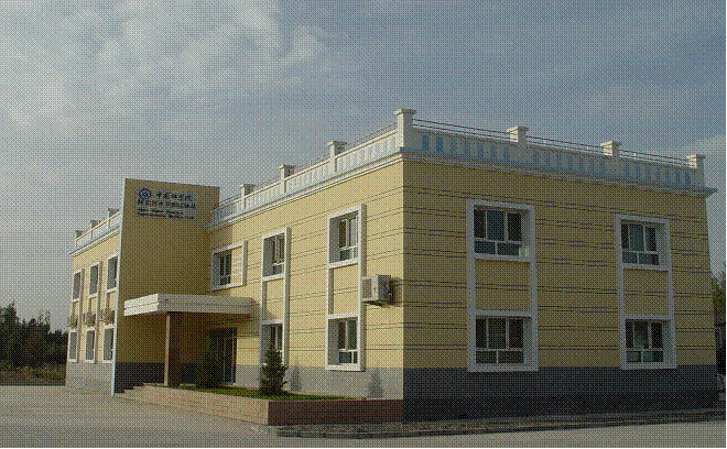
The station has a arid moderate climate, with a annual temperature of 11.2 ℃ but higher in summer and lower in winter relative to areas with the same latitude. Due to dramatic temperature fluctuation in spring and autumn, frozen damage resulted from low temperature in spring and early cooling in autumn often occurs. The annual mean precipitation is as low as 45.7 mm, thus rivers are charged mainly by precipitation in mountains and snowmelt. Frozen-free day, sunshine duration and annual mean wind velocity are, respectively, 207 d, 2940 h and 2.4 m/s. Disaster weather includes dust storm in spring, hail and accidentally continuous high temperature in summer.Aksu station (E80°51′, N40°37′, 1028 m a.s.l.), found in 1982 and affiliated with Xinjiang Institute of Ecology and Geography, was listed in the top-5 stations for irrigation experiment in Xinjiang and became a member of special environment and disaster detection network, CAS in 2002. After development of years, it entered National Field Station Network and Chinese Ecosystem Research Network (CERN) in 2005. The station is located in the source area of Tarim River where its three headstreams (i.e., Aksu, Yeerqiang and Hetian River) converge, and the vastest oasis develops in Tarim Basin under the hyperarid environments. This area is typical of Tarim Basin for dramatic watercourse meandering and great agro-water consumption, thus forming a ideal experimental field for monitoring and researching water, salt and nutrient processes in oasis cropland system, as well as for exploring sustainable oasis agriculture, theory and technologic demonstration of water-saving irrigation.
-
ICP forest monitoring plots: 0.5 ha of fenced stand + 20 m buffer area. Managment, data collection and reserch activities carried on by catholic university of Louvain (UCL)