
soil volumetric water content
Type of resources
Available actions
Topics
Keywords
Contact for the resource
Provided by
Years
Formats
Representation types
-
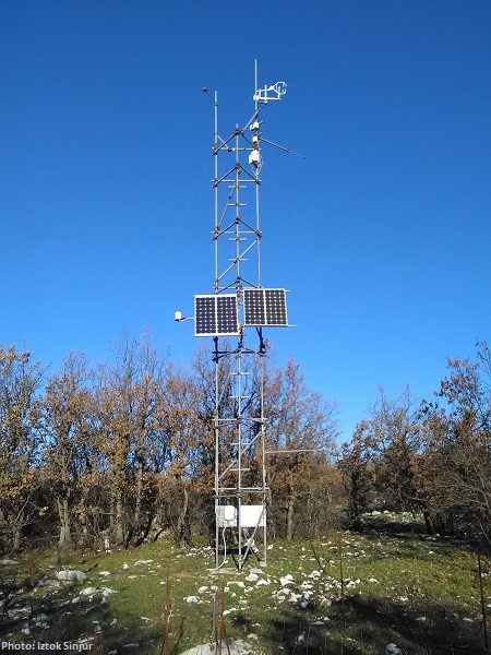
Soil water content and soil water potentials from the intensive monitoring plot (IP2) at LTER Zöbelboden, AT. Half-hourly soil moisture data are available from May 2018 to December 2020.
-
A Wireless Sensor Network (WSN) monitors biophysical variables with high temporal and spatial resolution in Sierra Nevada. Specifically, soil moisture data were collected along an altitudinal gradient ranging from 1600 to 2000 m.a.s.l in order to study 3 different type of habitats: oak forest, bare soil and high-mountain shrubland.
-
CARBON FLUXES IN TWO SUCCESSIONAL STAGES OF VEGETATION IN THE PODGORSKI KRAS. Research site represents karst grassland and different stages of secondary succession, occasionally affected from forest fires. It is located on karst plateau close to Podgorje village in the sub-mediterranean region of south-west Slovenia. The site is equipped with two Eddy Covariance towers which measure the carbon fluxes in two successional stages of vegetation. The area has undergone major human influences due to its position at the transition between the Mediterranean and central Europe. In fact, agricultural practices, such as overgrazing in the past centuries, led to pronounced destruction of the vegetation cover, causing severe soil erosion and resulting into a stony and bare landscape. However a succession is taking place and different vegetation types, ranging from grasslands to secondary oak forests, are now present. The bedrock is mainly composed of Paleocene and Eocene limestone. The chemical weathering known as karst phenomena led to the formation of Leptosols and Cambisols, which represent insoluble fractions of carbonates. As a result, the soil is superficial, with depths ranging from 0 cm to several decimeters in soil pockets between rocks. The organic matter represents about 12–15% of the topsoil. The climate is referred to as sub-mediterranean, with a mean annual temperature of 10.5 °C, a mean daily temperature of 1.8 °C and 19.9 °C in January and June respectively, and an average annual precipitation around 1370 mm. The growing season ranges from March or April to October.
-
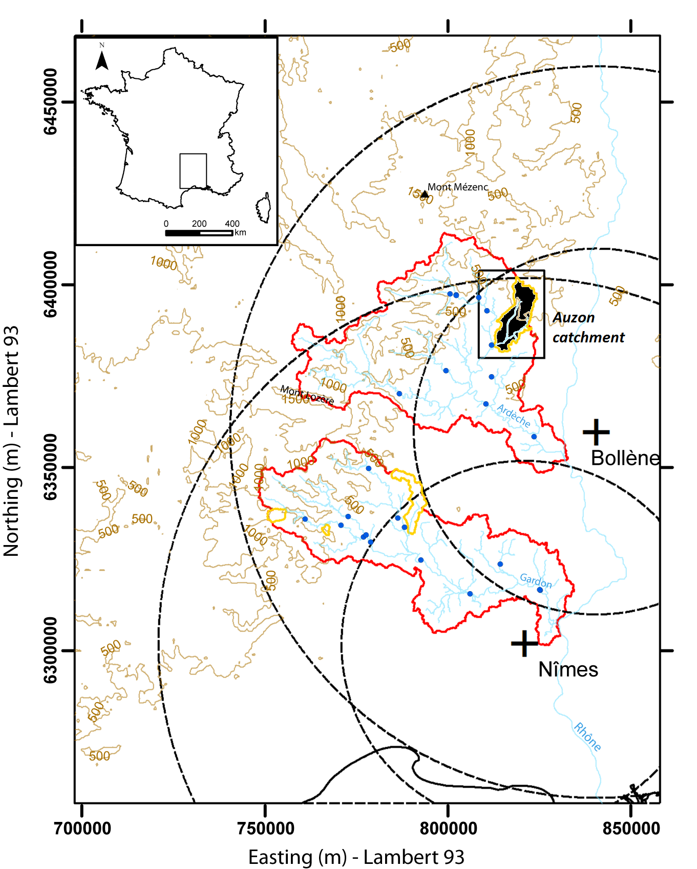
Hydrometeorological and hydrosedimentary observations within 3 embedded catchments: Gazel, Claduègne and Auzon (3.4, 43, and 116 km²). Mediterranean climate with heavy rainfall and flash floods in automn. The upper part of the catchment is characterized by basalt formations, after which a sharp transition occurs where the lower two thirds is made up of sedimentary limestone rock. The soil types are heavily infuenced by the geology of the catchment. Main land use types are pastures,vineyards and forest. More information at http://mistrals.sedoo.fr/?editDatsId=1438
-
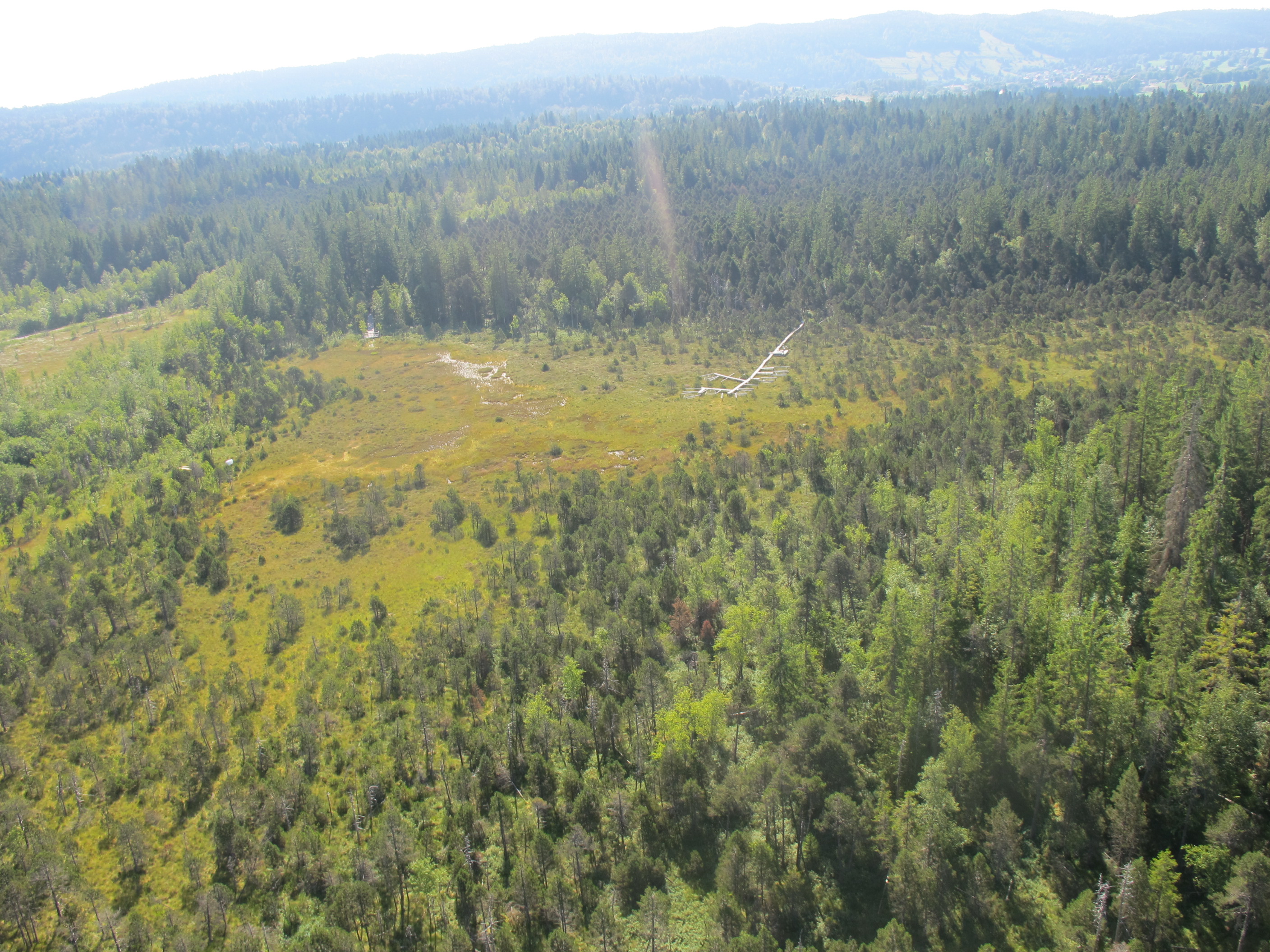
This site experienced peat extraction. It contains Sphagnum plots and Vaccinium oxycoccos, but the peatland is dominated by graminoids forming tussocks.
-
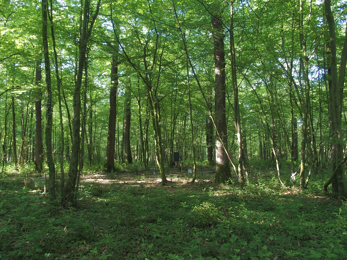
ICP forest monitoring plots: 0.5 ha of fenced stand + 20 m buffer area. Managment, data collection and reserch activities carried on by catholic university of Louvain (UCL)
-
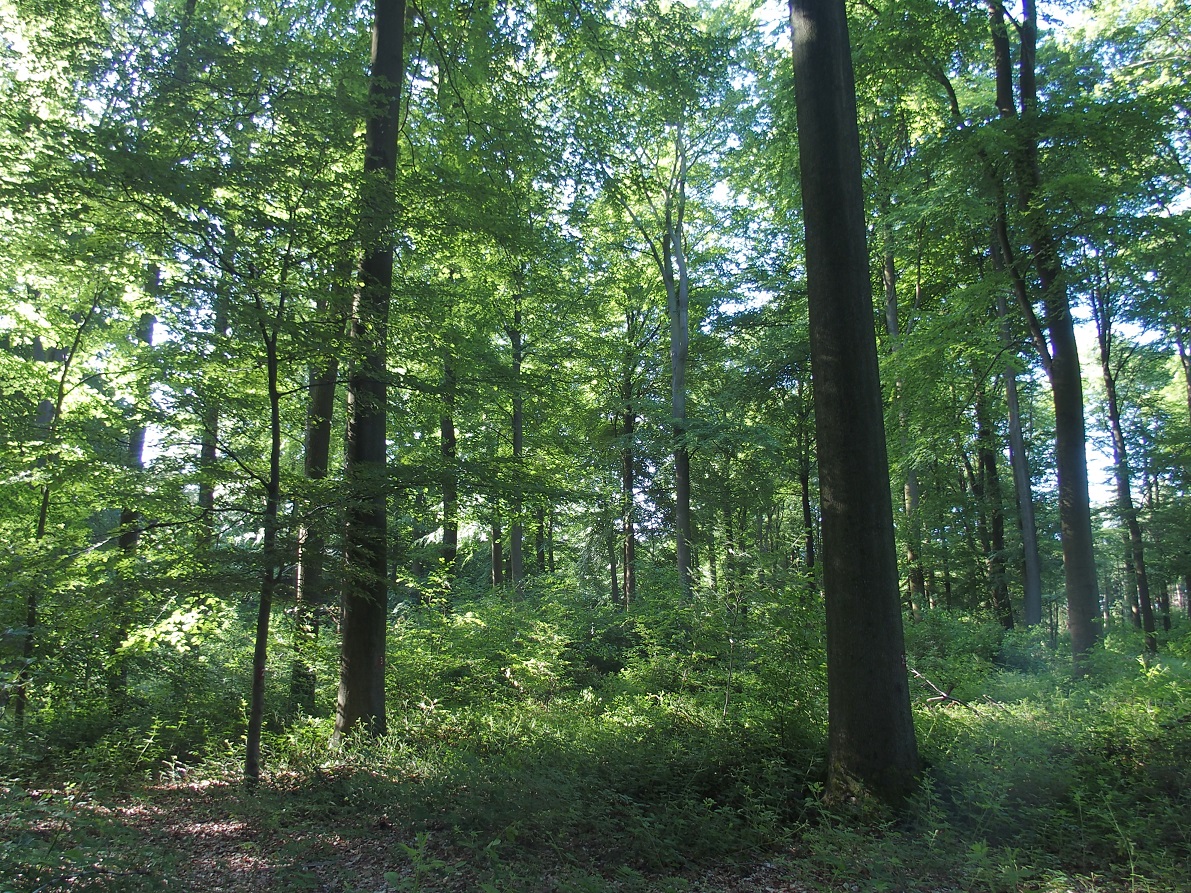
ICP forest monitoring plots: 0.5 ha of fenced stand + 20 m buffer area. Managment, data collection and reserch activities carried on by catholic university of Louvain (UCL)
-
Soil data of LTER Zöbelboden, Austria. Soil inventory is carried out since 1992 on regular positions (approx 65) in the catchment measuring soil chemistry. Soil water chemistry is measured in forest plots (2-3) using lysimeter sampling and analyses on a bi-weekly to monthly basis. Soil hydraulic characterizations exist for the major soil types in the catchment. Soil CO2 and N2O respiration data is available for some years
-
Coniferous forest.
-
This is a Sphagnum dominated bog, which is part of a mire complex.