
soil water content in the root zone
Type of resources
Available actions
Topics
Keywords
Contact for the resource
Provided by
Years
Formats
Representation types
-
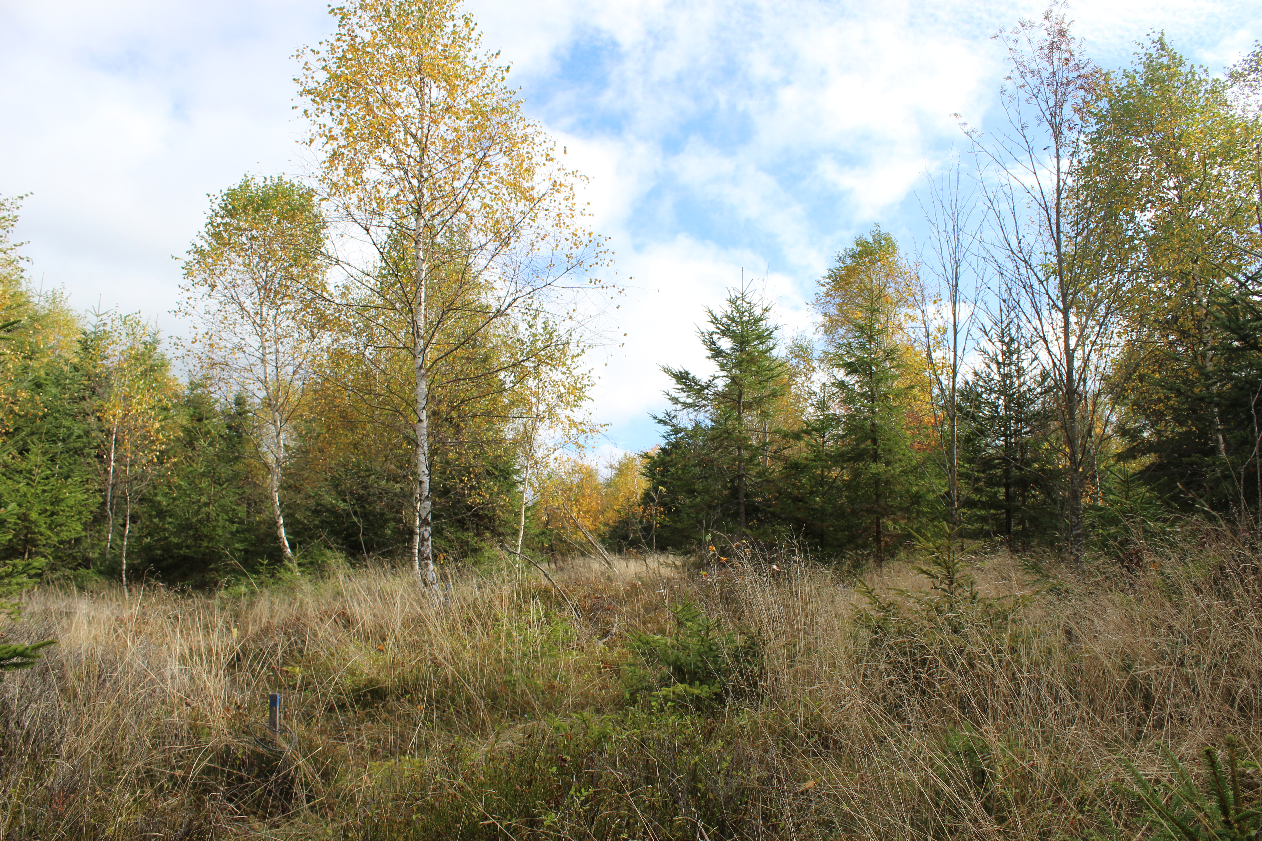
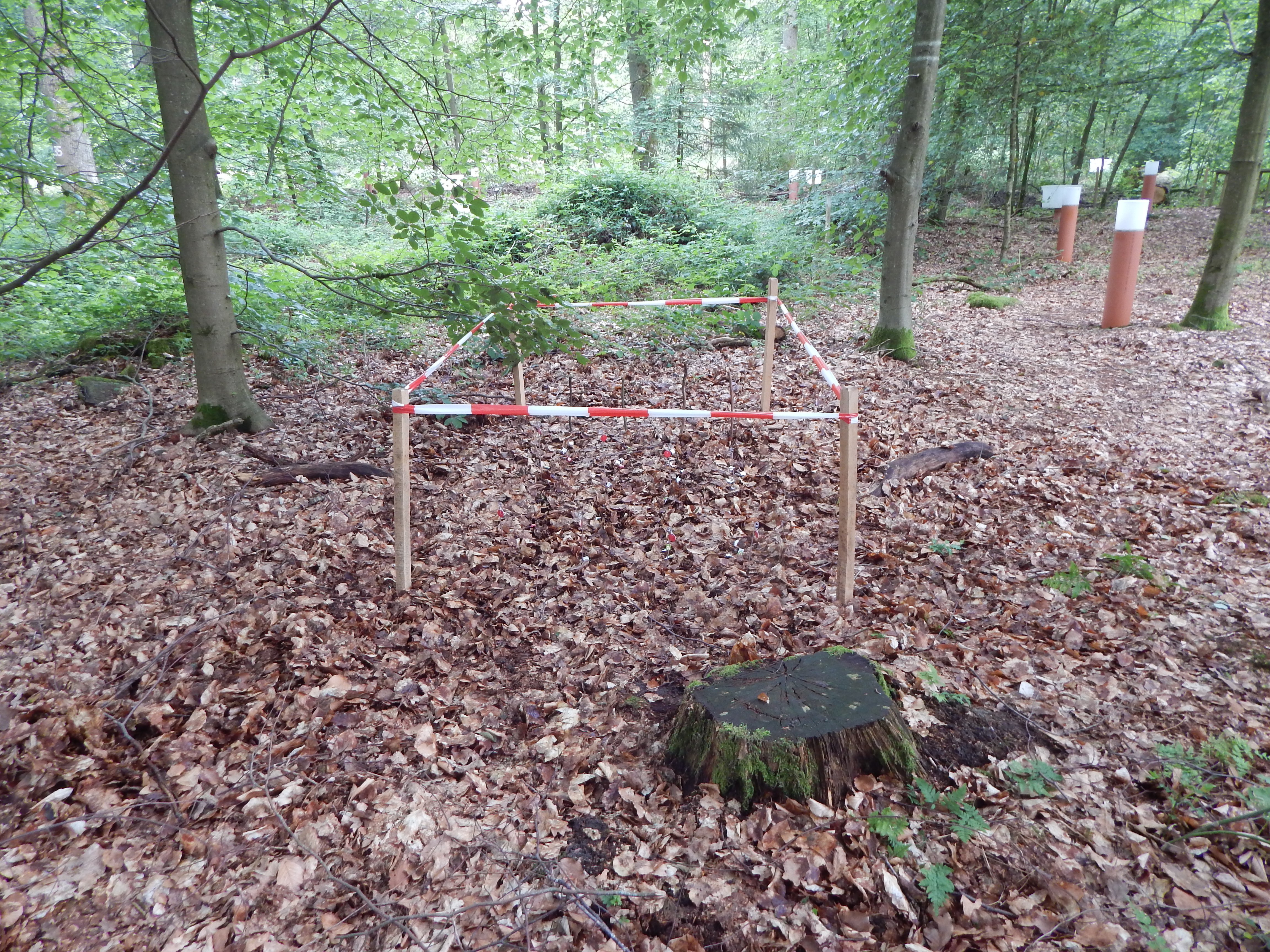
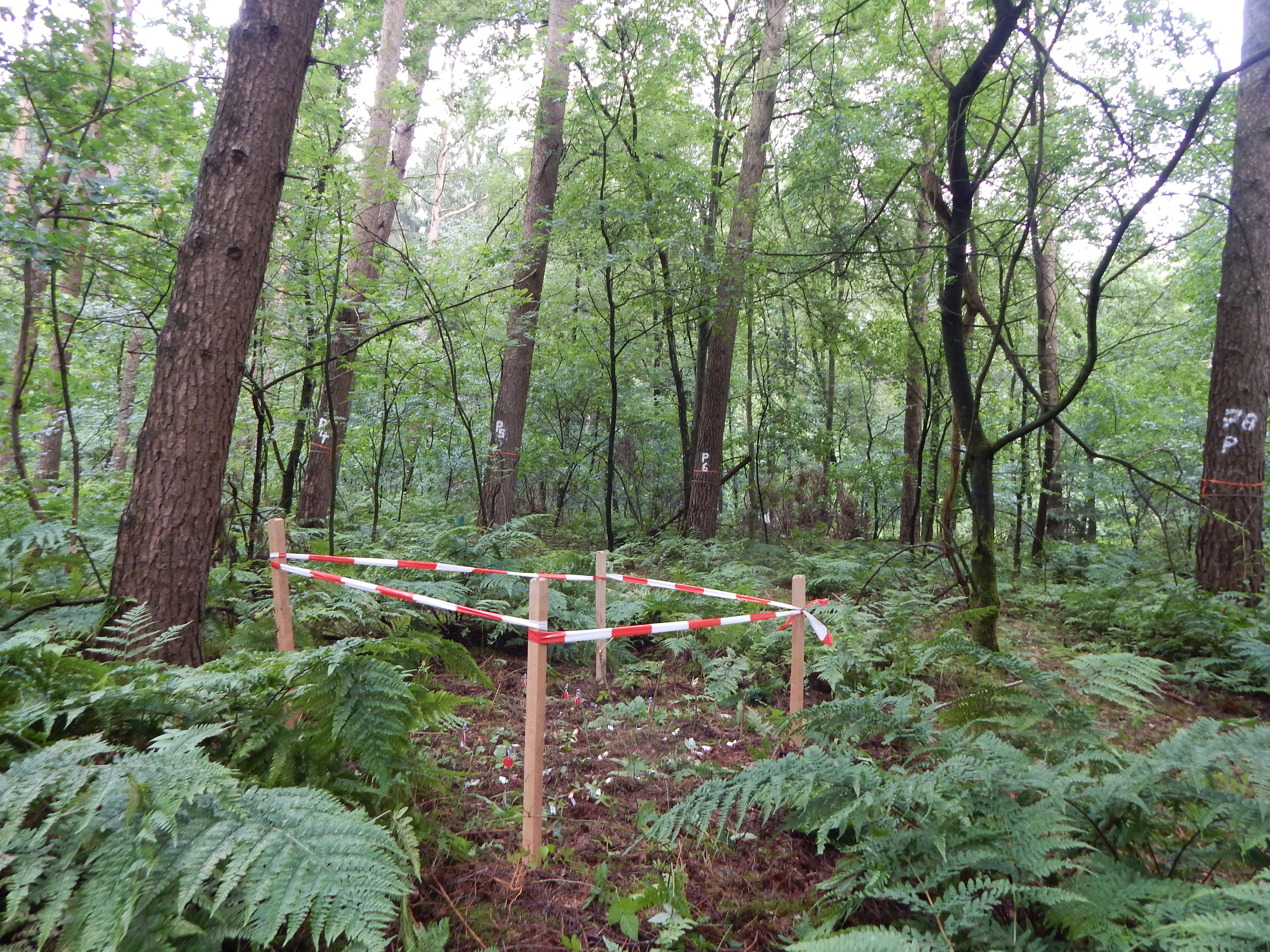
Coniferous forest.
-
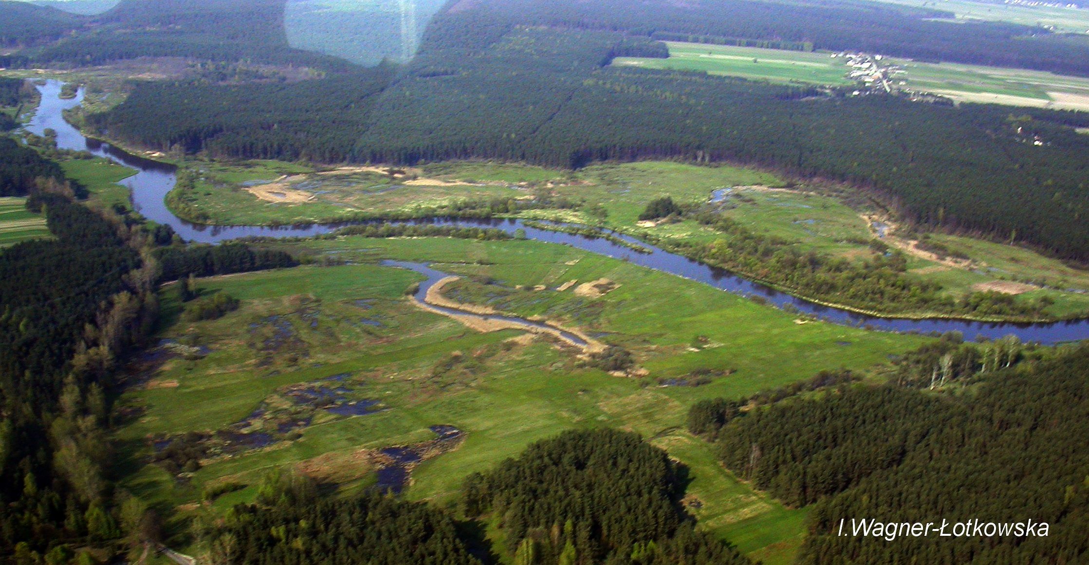
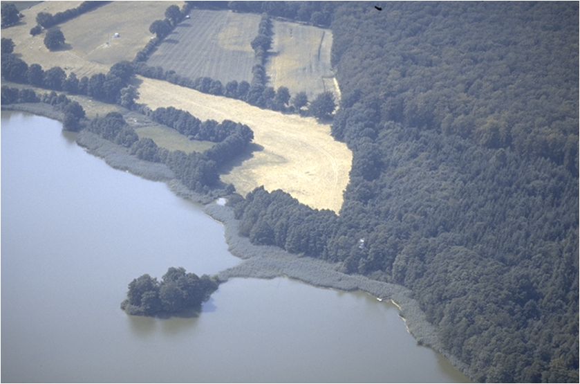
The Pilica River watershed is located in central Poland (length:342 km, catchment area: 9258km2). Its mean and maximum discharge is 21.2 and 139m3 s−1, respectively. Agriculture is found in over 60% of the Pilica catchment, and results in an increased supply of nutrients, humic substances, and other pollutants from non-point sources to the river and the Sulejow Reservoir, which is a spare drinking-water reservoir for the Lodz agglomeration and a recreational area. The LTER site includes the experimental floodplain of the Pilica River valley (51°18'58.46''N and 19°54'10.54''E), located in the middle reach of the river, upstream of the reservoir.
-
The site was established in 2000 and is situated in Waldviertel (northern Lower Austria), the current stand being a Norway spruce monoculture. The bedrock is poor in nutrients and further nutrient loss from litter raking as well as anthropogenic furtherance of conifers has led to unstable monocultures and the disappearance of deciduous species. The main research questions center around reintroduction of deciduous species, soil amelioration and nutrient cycling. The site is instrumented with climate stations as well as on-line soil water content measurements and soil temperature measurements. Further data include detailed chemical soil analyses, tracer experiment data, growth data and LAI measurements. In 2007 a large part of the stand was broken by wind (Cyrill). Currently measurements aim to quantify and qualify the effects of the windthrow to soils and rejuvenation. To date, the site has hosted 2 international and 3 national projects.
-
The alpine site is located in East Styria, the current stand is a Norway spruce monoculture. Measurements were begun in 1990. Primary research questions center around the lack of natural regeneration of all tree species and slow stand growth. The site is instrumented with climate stations, on-line measurements of plant-available light and soil temperature measurements. Data from two detailed inventories on tree rejuvenation, humus form distribution and ground vegetation are available as well as soil chemical analyses, LAI measurements and detailed humus form descriptions, litter analyses and litter input measurements. At the site two national and one international project have taken place.
-
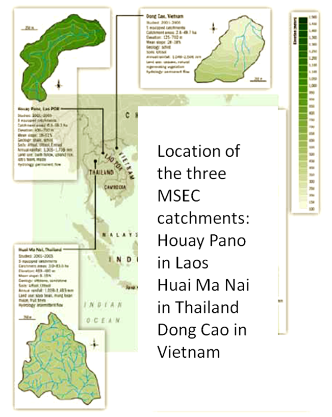
Dong Cao is a small agricultural catchment (47 ha) of northern Vietnam, located at 70 km from Hanoi, in a sloping land environment. The objective is to monitor the impacts of land use changes (from cassava to fodder and tree plantations) and possible climate changes upon hydrological and sedimentary fluxes and budgets. The catchment has an elevation of 125 m to 485 m and slopes range from 15 to 120%. Monitoring devices include an automatic meteorological station, and weirs to monitor discharge, suspended sediment and bedload. More information is available on https://mtropics.obs-mip.fr/ and in the following paper: Valentin, C., et al., 2008. Runoff and sediment losses from 27 upland catchments in Southeast Asia: Impact of rapid land use changes and conservation practices. Agric. Ecosyst. Environ. 128, 225–238. https://doi.org/10.1016/j.agee.2008.06.004
-
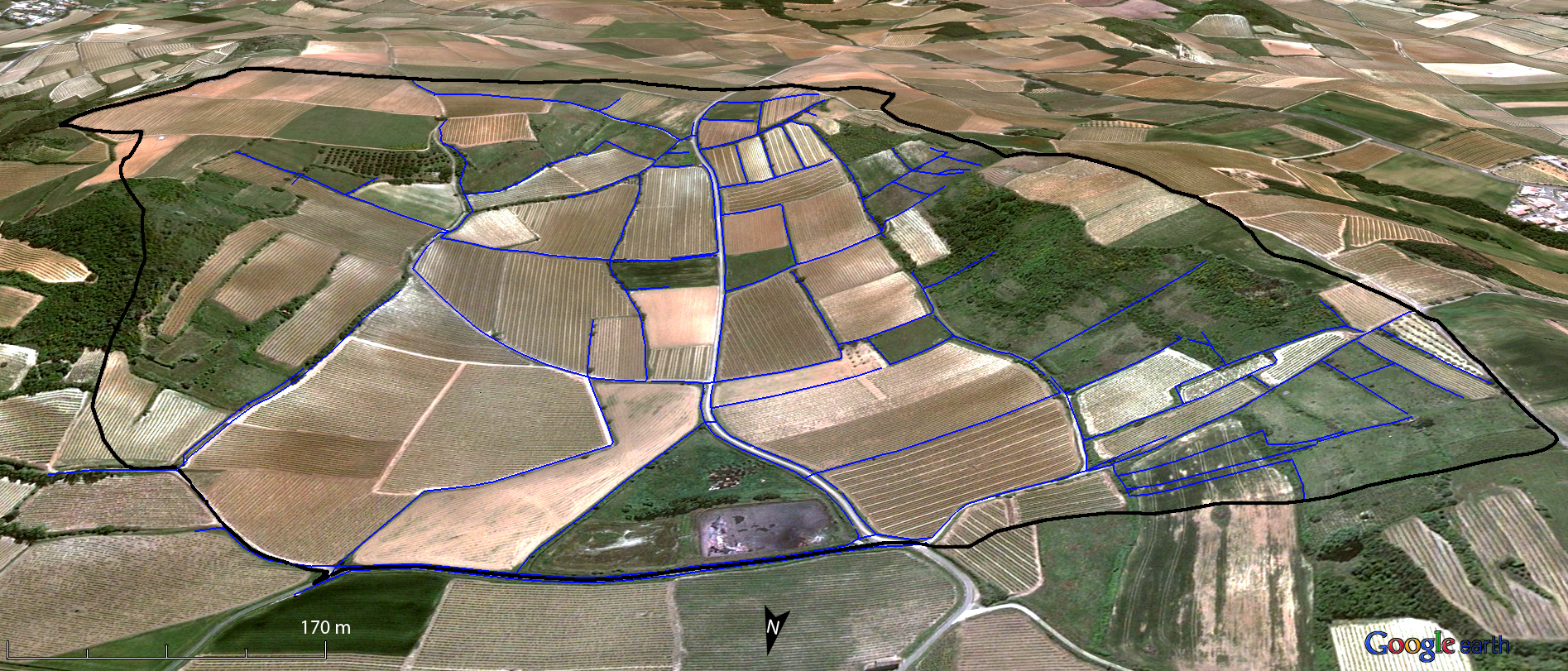
Small agricultural catchment (91 ha) in a vineyard Mediterranean environment with 20 years of data: impact of global change (climate and anthropogenic activities as agricultural practices) on water and erosion balance, fluxes and quality. Soils: calcisoils and cambisoils. Bedrock: Marine and coastal miocene deposits. Continuous automatic measurements at nested scales from plot to catchment outlet (surface runoff, shallow groundwaters, surface-atmosphere fluxes) and continuous monitoring of anthropogenic activities . More information available on http://www.obs-omere.org. Roujan experimental catchment belongs to the French SOERE-RBV Network.
-
Quercus robur and Pinus silvestris forests on glacio-fluvial sediments
-
Intensive Forest Monitoring site with Pinus silvestris - Betula pendula forest
-
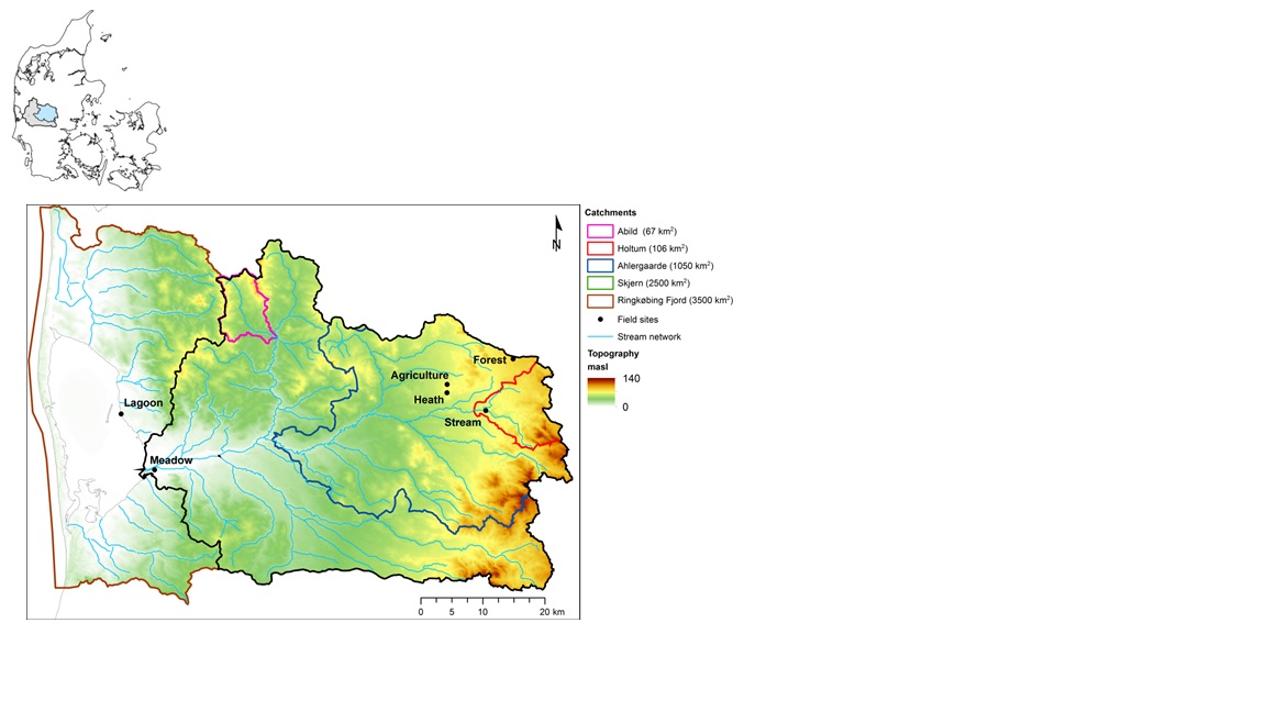
The HOBE experimental catchment is located in the western part of Denmark. The topography of the catchment is relatively flat. The surface elevations in the eastern part of the catchment are about 125 m above sea level at the Jutland ridge and gently decreasing to sea level elevations towards the coast. Alluvial outwash deposits in the form of sand and gravel dominate the central part of the catchment. Towards east, glacial deposits of moraine till are present with a higher content of clay. Also the remnants from the Saale glaciation have higher clay content and the dominant sediment type at these locations is clayey sand. Overall the top sediments are highly permeable with little water retention capability and the stream flow is therefore dominated by groundwater inflow. Based on a classification of the topsoil four soil classes can be identified in the catchment. The by far most dominating soil type is fine/coarse sandy soil. The Quaternary deposits have a thickness less than 50 m in the eastern and central part of the area increasing up to 250 m towards west. The Quaternary deposits are underlain by Miocene sediments in the form of alternating layers of marine, lacustrine and fluvial deposits forming layers of clay, silt, sand and gravel. Further below thick layers of Paleogene clay are found with little permeability and thus acting as a lower impermeable boundary for the aquifer systems. The sand and gravel layers from the Quaternary and Miocene periods form interconnected aquifer systems. The land surface of the catchment is predominantly agriculture and due to the sandy soil characteristics extensive irrigation of the agricultural crops takes place. Based on satellite data the land-use distribution is estimated as follows: grain and corn (55%), grass (30%), forest (7%), heath (5%), urban (2%) and other (1%). The climate of the observatory is of maritime origin and influenced by weather systems coming from the Atlantic Ocean. The weather conditions are variable with frequent precipitation. The prevailing winds from west lead to relatively mild winters and cool summers. The mean annual precipitation is about 1050 mm/year. It varies over the season with highest amounts in the months of October-December and lowest in the months of April-May. The mean annual temperature is 8.20C. The highest mean monthly temperature is in August (16.50C) and the lowest in January (1.40C). Precipitation in the form of snow is highly variable from year to year; in some years, no snowfall occurs and in others, it may stay on the ground for months.
-
Ensemble of agricultural and forestry systems in a catchment area of five consecutively connected lakes