
species group abundance
Type of resources
Available actions
Topics
Keywords
Contact for the resource
Provided by
Years
Formats
Representation types
-
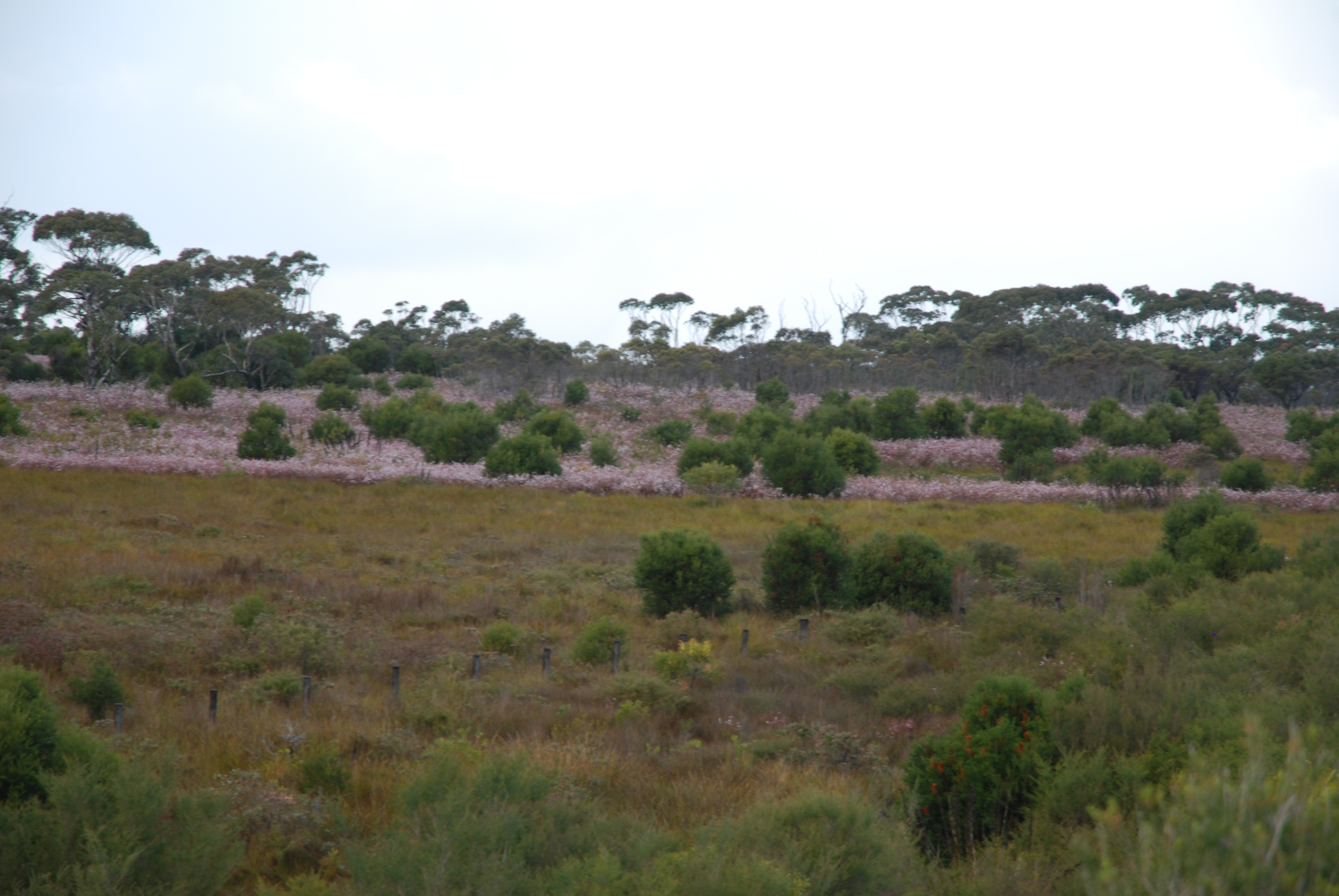
The Desert Uplands Plot Network is located in the Northern Desert Uplands of Queensland, Australia with each of the 50 (originally 60) bird monitoring plots 1 ha in size, and located at least 1 km from any other site, 500 m from any water point and 50 m from the nearest access track. As at June 2016, temporal visits have been conducted in 2004, 2005, 2006, 2008, 2013 and 2014. Between 2012 and 2018 the Desert Uplands Plot Network was a member of Long Term Ecological Research Network (LTERN), Australia, a facility of the Australian Government's Terrestrial Ecosystem Research Network (TERN).
-
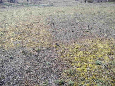
The restoration sites are located in abandoned arable land and clear-cut tree plantations mostly, but not entirely within LTER Fulophaza that is a high diversity site, both in terms of habitats and species, in the Kiskunság Sand Ridge. It uses some of the central facilities of the KISKUN LTER, such as the meteorological station and the field research station with accommodation opportunities, and a couple of long term monitoring sites and field experiments.
-
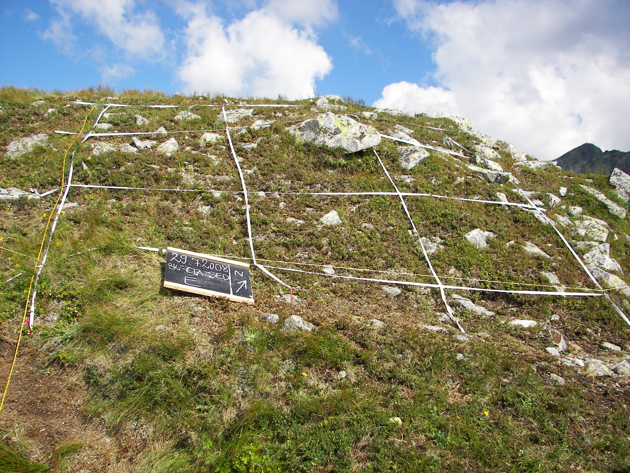
The Site was established in 2001 as a part of research initiative GLORIA (Global Observation Research Initiative in Alpine Environments) and as a long-term observation network for the comparative study of climate change impacts on mountain biota respecting the multi-summit sampling design. The Site is situated in the Tatra National Park and consists of four summits occurring in the alpine belt: Krížna peak (1,918.6 m a.s.l.), Veľká kopa peak (2,052.4 m a.s.l.), Sedielková kopa peak (2,061.3 m a.s.l.) and Summit – Krátka peak (2,374.5 m a.s.l.). The re-investigation of site take place every 7 years and the data are compared with other GLORIA research sites within the world-wide network.The first took place in within the 5th RTD framework programme of the EU, the second in 2008 and the next in 2015.
-
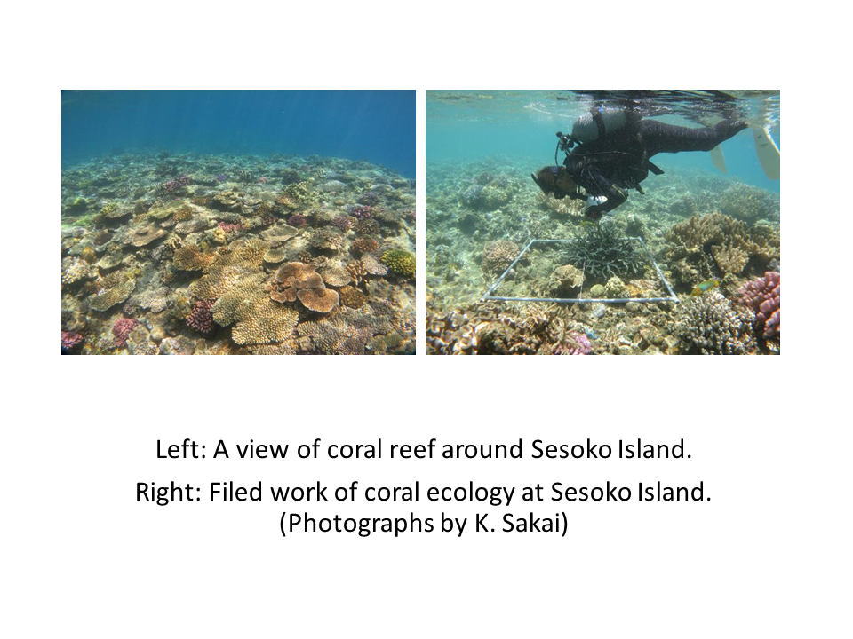
Sesoko Island is located at the west of northern part of Okinawa Island, Okinawa Prefecture, Japan. Okinawa Prefecture is in subtropical climate, and islands of Okinawa are fringed by coral reefs. Sesoko Island is a good field for studying coral reefs.
-
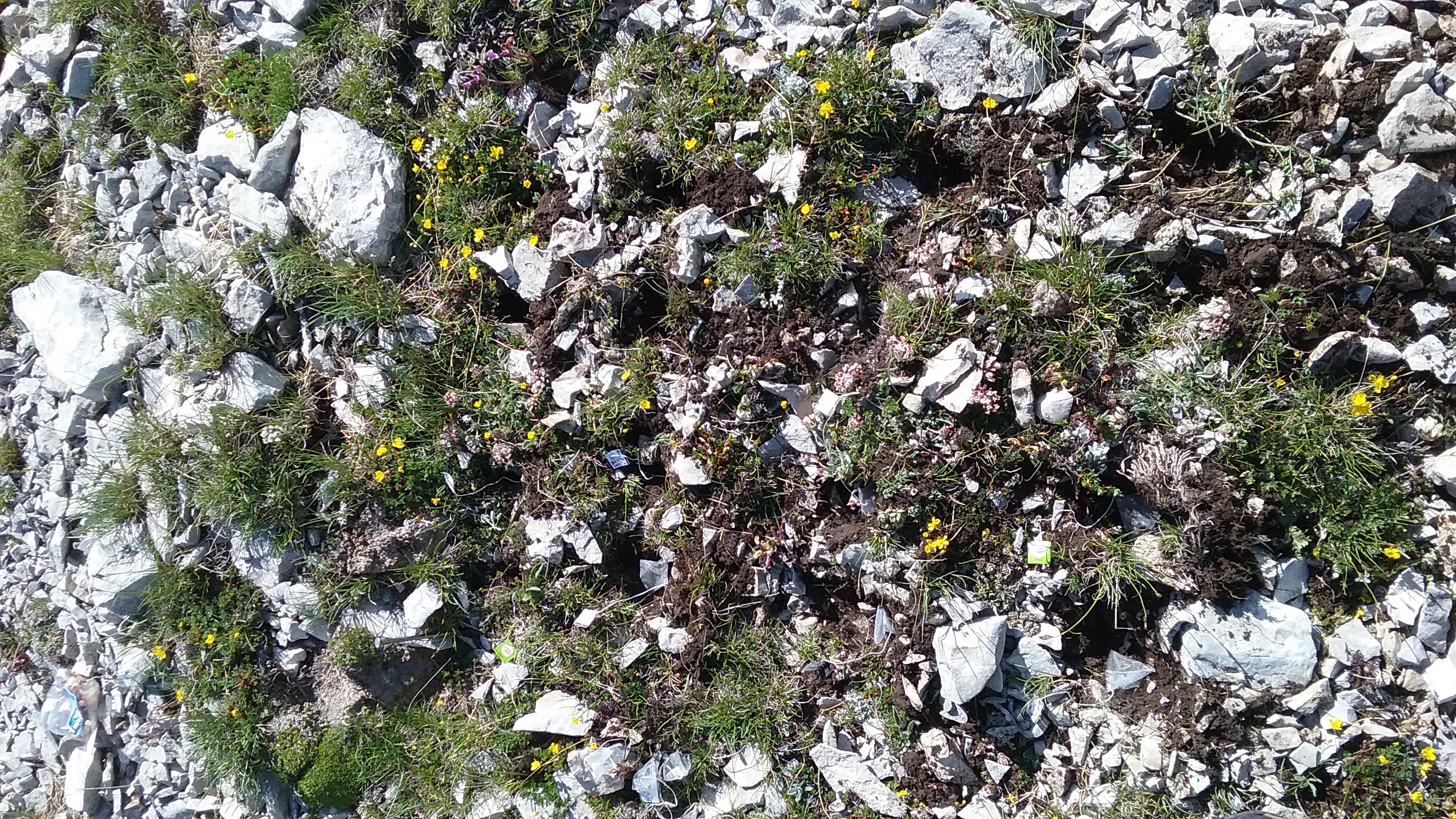
The site consists of “orographic islands” with high elevation vegetation in central Mediterranean basin, along the Apennines mountain range. Majella: 26 plots are in Majella National Park, 15 plots belonging to the world network GLORIA, placed along an elevation gradient between dwarf shrublands and tundra vegetation (2400-2700 m a.s.l.), 6 plots refer to the study of population biology of endangered taxa and other 5 plots, ranging from 2400 to 2600 m a.s.l., refer to soil monitoring. Matese: 10 plots in Matese mountains (1800-2000 m a.s.l.), included into the world network GLORIA, and characterised by high elevation grasslands.
-
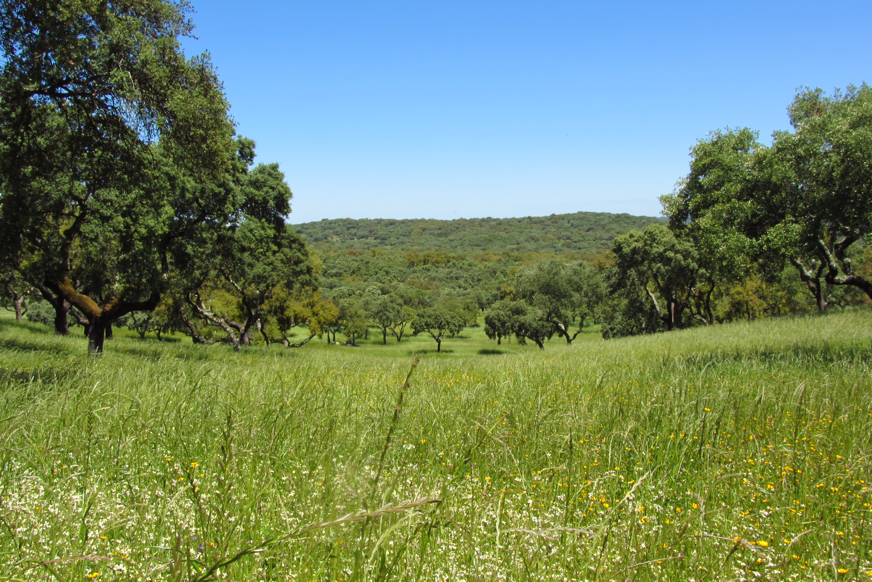
Montados (or dehesas in Spanish) are traditional agro-forestry systems with a savanna type structure, characteristic of the Mediterranean Basin. In Portugal, Montados are mainly distributed in the southern half of the country where the climate is Mediterranean. Annual average precipitation is 600 mm and mean annual temperature is 15ºC, although there is a large variation within the area of distribution of this system. Cork oaks (Quercus suber) and holm oaks (Q. rotundifolia) are the dominant trees, forming pure or mixed stands, with holm oak being dominant in drier regions. Montados with natural or semi-natural pasture and extensive grazing are listed under the EU Habitats Directive (habitat 6310), and are key habitats of Special Areas of Conservation (Habitats Directive) and of Special Protection Areas (Birds Directive), which are part of the Natura 2000 network. Their multifunctional management promotes structural diversity at the stand and landscape level, which combined to a large distribution area and spatial continuity results in high-levels of biodiversity. They are also High Natural Value farmlands that simultaneously fulfill the three criteria considered for their delimitation by the European Commission, since they are dominantly related to a high proportion of semi-natural vegetation, to a mosaic of low intensity agriculture and natural and structural elements and to the presence of rare species (e.g. Lynx pardinus and Aquila pennata). Cork is the most important forest product from Montado systems, with Portugal producing 54% of the world cork. In addition to cork (harvested every 9-12 years), animal production in pastures also provide a source of income. The regulation of water and nutrient cycles and of soil erosion, as well as carbon sequestration are important regulating services to be managed in Montados. From a cultural and recreational perspective, Montados are valued for the landscape aesthetics, natural values and cultural heritage. Strategic actions have been put in place to conciliate human use and biodiversity conservation, such as the publication of national regulations that legally protect the cork and holm oaks. But the most significant one might be forest certification, which has been promoting practices of responsible forest management in more than 70,000 ha of Montado, around 30% of the total certified Portuguese forest area.
-
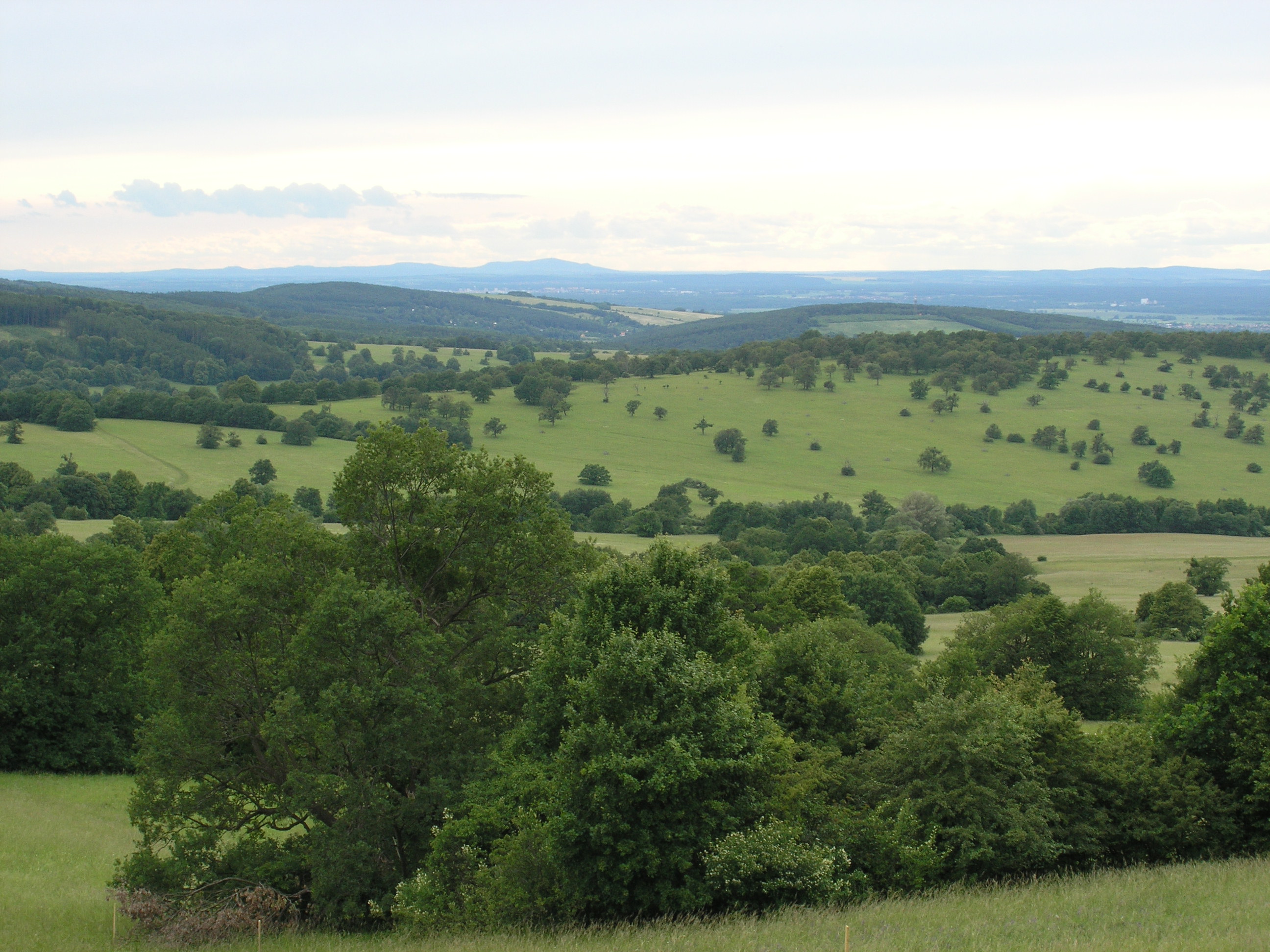
The White Carpathian (Bílé Karpaty) Mts. are important especially for their vast species-rich meadows with many rare and endangered species, often having here very large populations or remarkably isolated occurrences distant from the centres of their natural ranges. Čertoryje Nature Reserve and its buffer zone, which form the majority of the LTER site, is the largest area of this precious habitat in the White Carpathians. Meadows which were not fertilized (or even ploughed up) under socialist agriculture in the second half of the 20th century are the most valuable. These meadows are usually situated on steep slopes which were hardly accessible to the machinery and were thus often totally abandoned and gradually overgrew with expansive grasses and scrub. Their current biological diversity therefore needs resumption of the former extensive management (scrub elimination and subsequent regular mowing without fertilization). These resoration activities started here in the mid 1980s. A fine-scale monitoring of vegetation succession after management restoration at one of these plots is a component of the long-term research here since 1989. The opposite extreme of socialist agricultural management of species-rich meadows was their conversion to arable land. These fields have been gradually re-grassed since 1989. Restoration of the former species-richness is however very slow (or even impossible) and needs special restoration measures. Hence another objective of the local long-term research is the succession on re-grassed arable fields. Spatially detailed observations take place on the eastern slope of the Výzkum hill and are aimed to find out an optimalized economic method of restoring a species-rich meadow (four variants are tested). Except vegetation succession, also the development of several soil fauna coenoses (Testacea, Nematoda, Oribatida, Collembola, Enchytraeidae, Lumbricidae, Oniscidea, Diplopoda, Chilopoda, Opiliones, and Carabidae) has been studied here since 2000. Since 2009, also succession in a broader landscape context is studied, taking into account restored grasslands in a major part of the whole White Carpathian Mountains. More than one tenth of the localities from this landscape study takes place directly in the LTER site, representing about 100 hectares regrassed by a regional species-rich seed mix since 2000 and 30 hectares regrassed by a commercial clover-grass seed mix in the late nineties. The research is focused on both plants (mainly vascular plants, additionally also bryophytes) and animals (Auchenorrhyncha, Heteroptera, Lepidoptera: Hesperioidea, selected phytophagous Coleoptera).
-
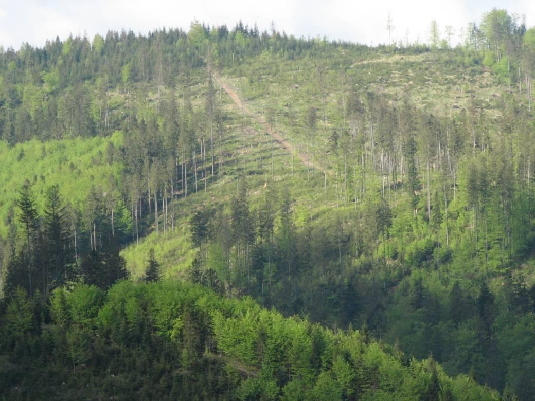
The Brenna monitoring site in the Silesian Beskid (Polish part of the West Carpathians) was established in 1991 and consists of a monitoring station (meteo parameters and air pollution level) at the elevation of 865 m a.s.l. and 7.5 ha and 50 ha catchments at the elevation of 750 m a.s.l under old spruce stand being under reconstruction.The main goals of the monitoring programme is the investigation of: ● Response of spruce stands to air pollution and forest management practice in the mountain area which has been influenced by emissions from the industrial complexes of Silesia and the Czech Republic ● The balance of nutrients in a small mountain catchment. ● Changes in floral characteristics These monitoring activities have been continuing and moreover, the effect of forest management (falling, skidding) on soil (erosion) is monitored. In 2016 the Particulate analyzers (PM10/PM2.5) (The Model 5030 Synchronized Hybrid Ambient Real-time Particulate SHARP Monitor) were installed at the station to measure the inflow of pollutants from industrial regions.Equipment for meteorological measurements is as follows: Barometr LB-716, Thermohigrometer LB-710R, Wind Speed Meter LB-746, Pyranometer PQS1, Thermometer LB-711 (air and soil), Pluviometer RG50A. Additionally, continuous measurements of ozone have been carried out since the nineties (Monitor Thermo Scientific).
-
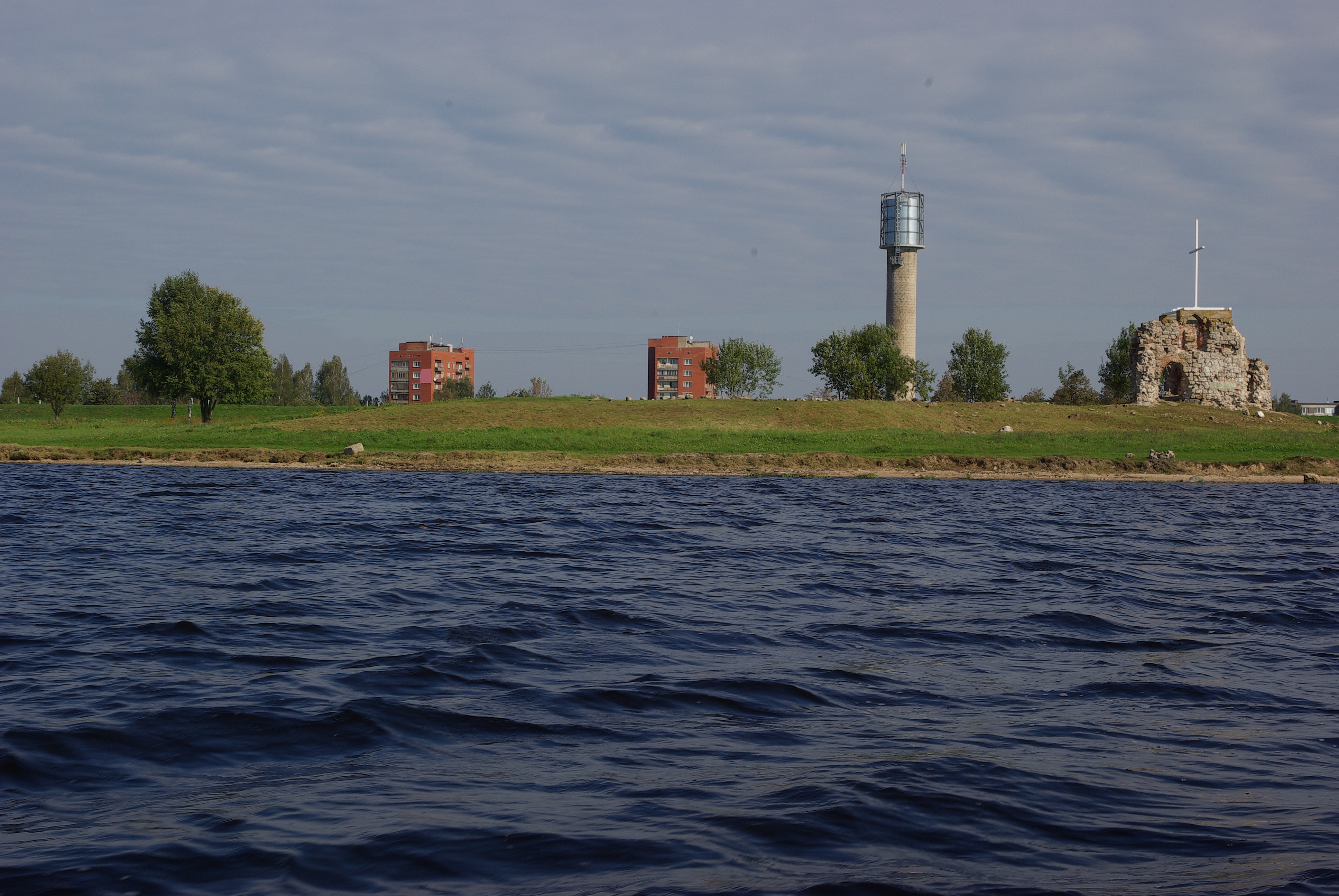
Reservoir of Riga Hydropower station (Riga Hydroelectric Power Plant). The Riga Hydroelectric Power Plant was put into operation in 1974. In order to build Riga HES, a dam was constructed across the Daugava River through the middle of Doles Sala, half of which has since been flooded to make room for Riga Reservoir. Along with Doles Sala, there have been several other smaller islands drowned in order to fill the reservoir. The dam was built in the late 1970s.
-
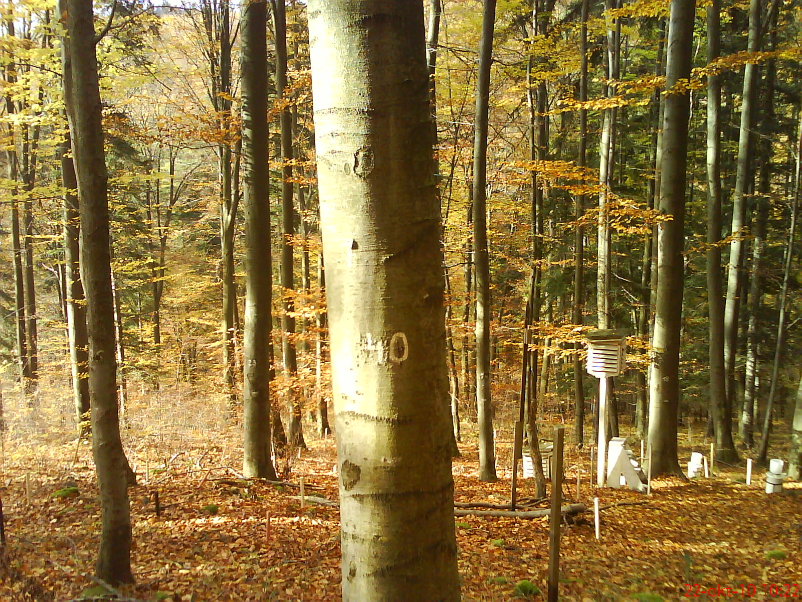
The research is focused on complex study of ecological processes running within the beech ecosystem at the lower edge of its occurrence. The Ecological Experimental Station (EES) was founded in the Kremnické vrchy Mountains (Western Carpathians, Slovakia) in 1986. It is located at 500 m a.s.l., on SW slope. The leading stand-forming association is Dentario bulbiferae-Fagetum Z l a t n i k 1935, with locally admixed Carici pilosae-Fagetum O b e r d. 1958. For both associations, to the permanent constituents (at different dominances and abundances) belong: Carex pilosa, Carex sylvatica, Carex digitata, Galium odoratum, Dentaria bulbifera, Anthyrium filix-femina, Dryopteris filix-mas. The dominant tree species at the locality is beech (80–95%); fir, oak and hornbeam are the associated species. The soil type is andic cambisol with high skeleton content (20–60%) and mild acid reaction (pH 5.4–6.4), the humus form is acid mull. The long-term mean (1951–1980) annual air temperature is approximately 6.8 °C, with a mean of 17 °C in the warmest month (July) and - 4 °C in the coldest month (January). The mean annual precipitation is approximately 780 mm. An increasing value (+1.1 °C) of the mean annual air temperature was observed during the last two decades; however, the mean annual precipitation did not change significantly. The site is equipped with a few climatic microstations, collectors for precipitation and litterfall, lysimeters, dendrometers, etc.