
species turnover
Type of resources
Available actions
Topics
Keywords
Contact for the resource
Provided by
Years
Formats
Representation types
-
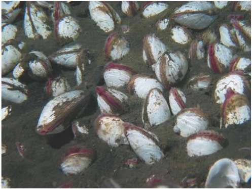
In spite of the fact that the area of Sagami Bay occupies only 0.05% of the total area of Japanese waters, the total species richness is 16.5% of the total Japanese species richness. This suggests high species richness due to the array of habitats present in Sagami Bay. The high species diversity of Sagami Bay has been recognized previously, and one of the proposed reasons for this degree of diversity is the influence of cold-water masses derived from the Oyashio Current, as well as tropical or subtropical water masses derived from the Kuroshio Current. Sagami Bay’s high reported diversity probably contains bias, because marine biologists have historically paid more attention to Sagami Bay.
-
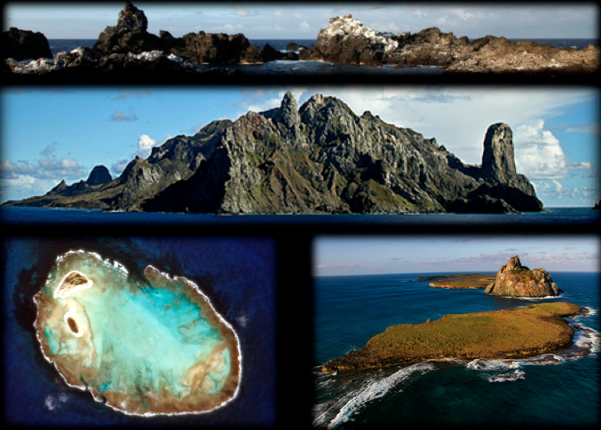
Islands are unique place to be characterized as a long-term monitoring site, sustaining communities and preserved high rate of endemism. For not having the typical impacts of increasing urbanization in the coastal zone, it becomes possible to reliably identify the appropriate sources of impacts (such as overfishing), and the direct consequences on the system. This statement is difficult to precisely on the coast where the synergism disorders does not isolate each process. Still being the islands of control ICMBio with some protection status (Fernando de Noronha = National Park; Atol das Rocas = Biological Reserve), or with ongoing research programs with the logistical support of the Navy of Brazil and funding CNPQ (Archipelago St. Peter and St. Paul and Trindade island), management and conservation rules can be more efficiently deployed without generating conflicts with the various groups of users of the areas, which is a common situation when it comes to coastal systems where 50% of the population live.
-
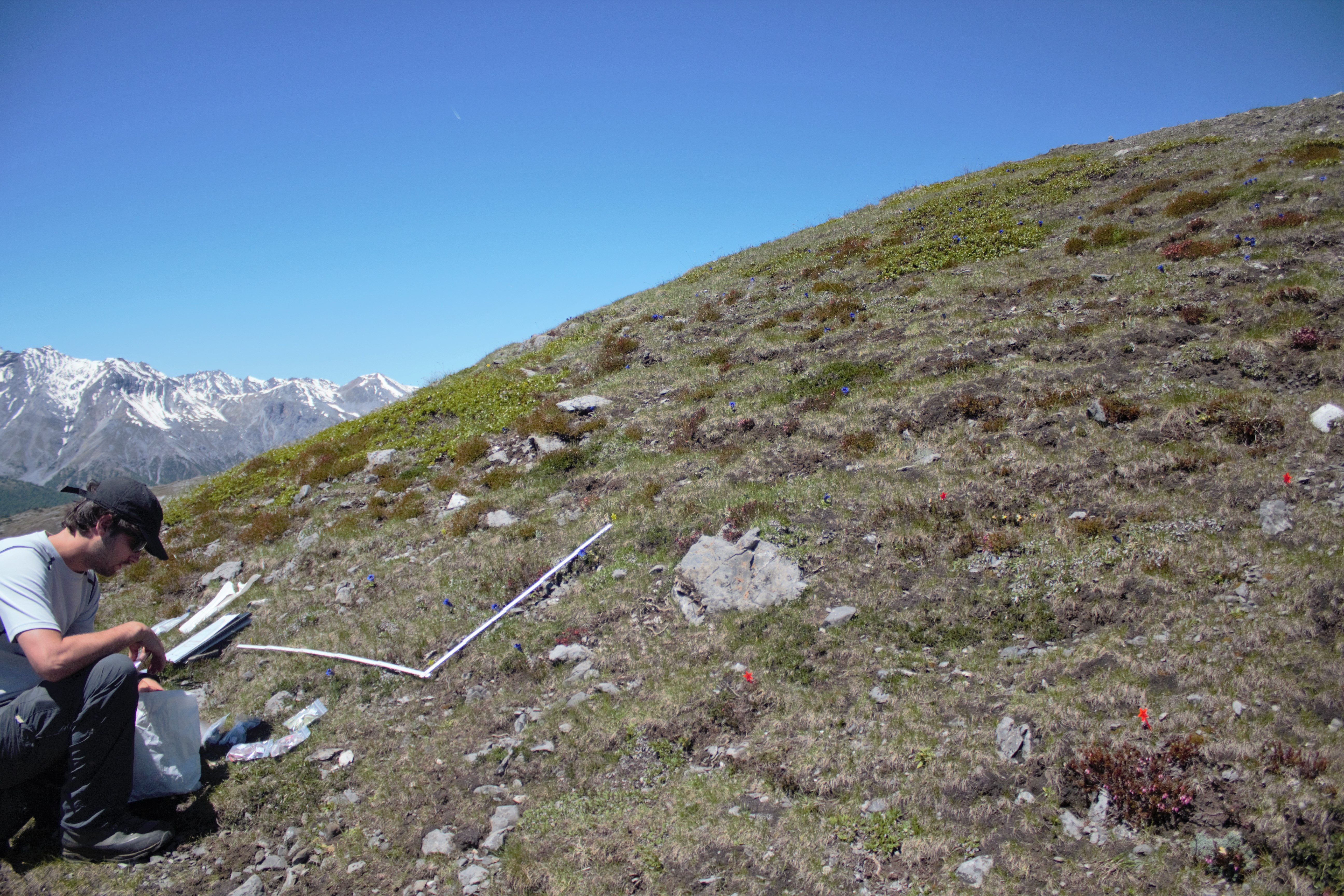
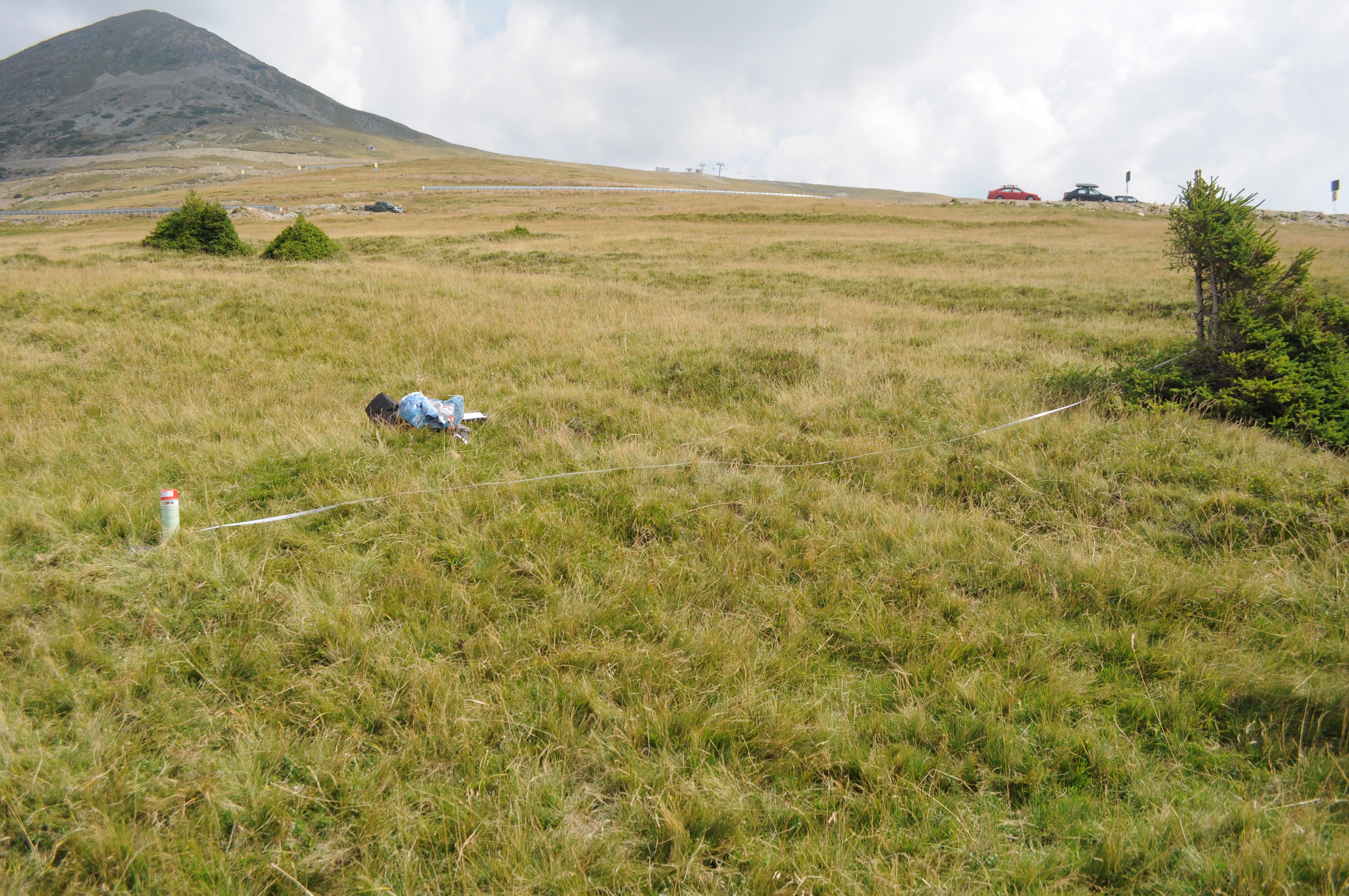
lowest GLORIA summit on dolomite in the Swiss Nationa Park region
-
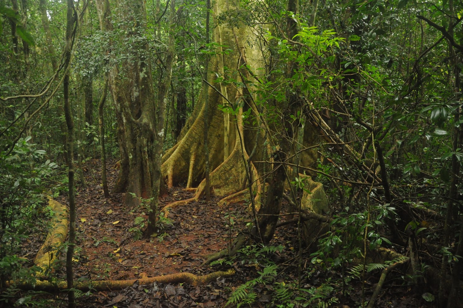
The site is composed by a set of Atlantic Forest fragments and restoration sites scattered in an agricultural landscape in north of Parana state, south Brazil. The forest in this region is a seasonal semi-deciduous form of Atlantic Forest, which undergone strong conversion rates from 1940 to 1980 and presently has only 8% forest cover, distributed in a myriad of small fragments. Forest fragmentation, fertilizer and pesticide leakage from agricultural fields and urbanization are the main regional drivers of environmental change. In each sub-site (forest fragment or restoration site) we are sampling flora, fauna and ecosystem attributes (forest biomass, litter fall, litter decomposition etc). The site is maintained by Londrina State University
-
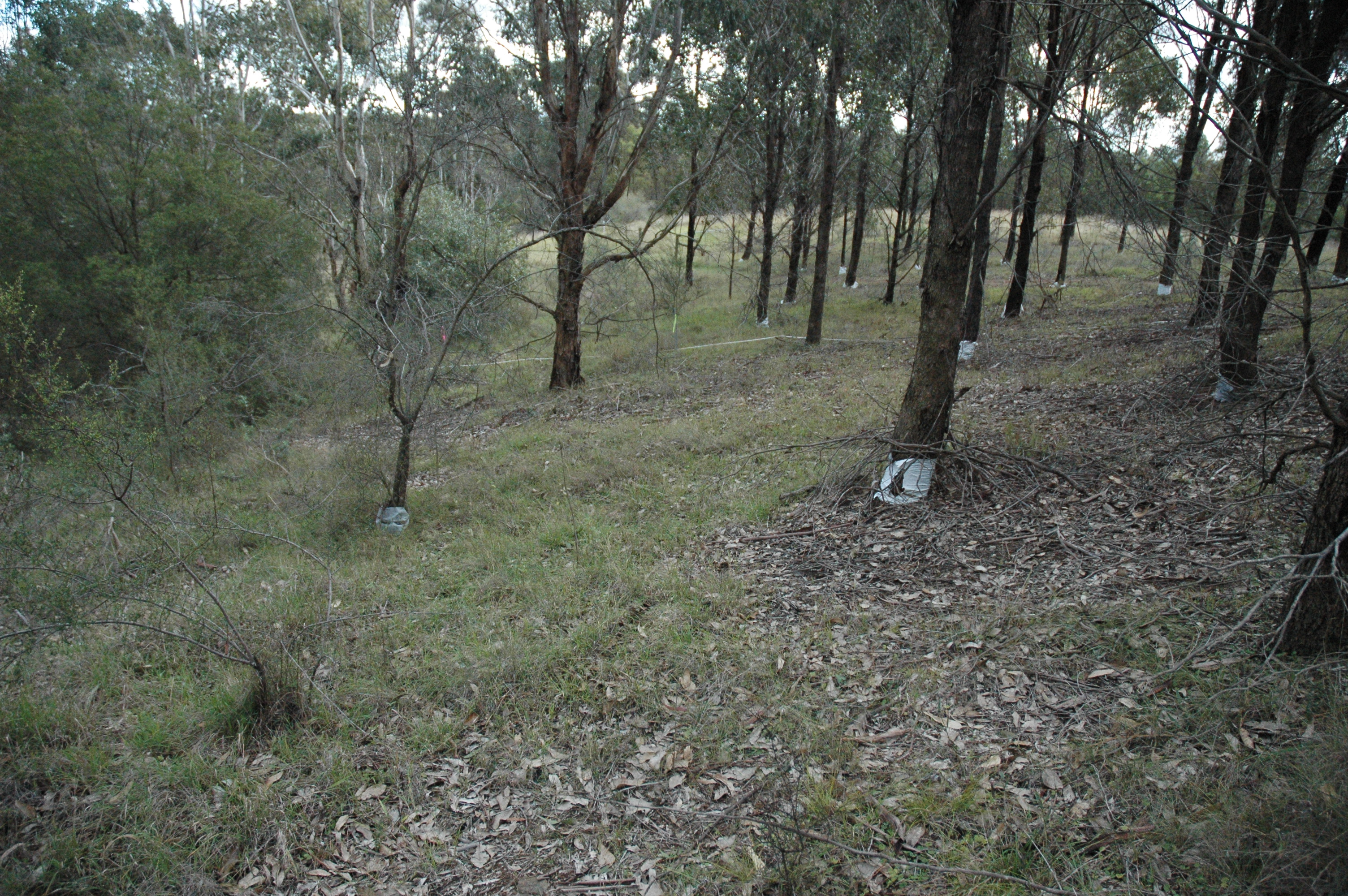
The Woodland Restoration Plot Network is located in the Cumberland Plain, Western Sydney, NSW, Australia with the objective to develop robust methods for evaluating the success of native woodland restoration on retired agricultural land and apply them to a major restoration project of an endangered ecological community. The plot network aims to determine whether the composition and structure of restoration plantings undertaken between 1992 and 2002 are on a trajectory from abandoned exotic pasture towards comparatively undisturbed remnant vegetation. The data gathered will inform future restoration efforts. Between 2012 and 2018 the Woodland Restoration Plot Network was is a member of Long Term Ecological Research Network (LTERN), Australia, a facility of the Australian Government's Terrestrial Ecosystem Research Network (TERN).
-
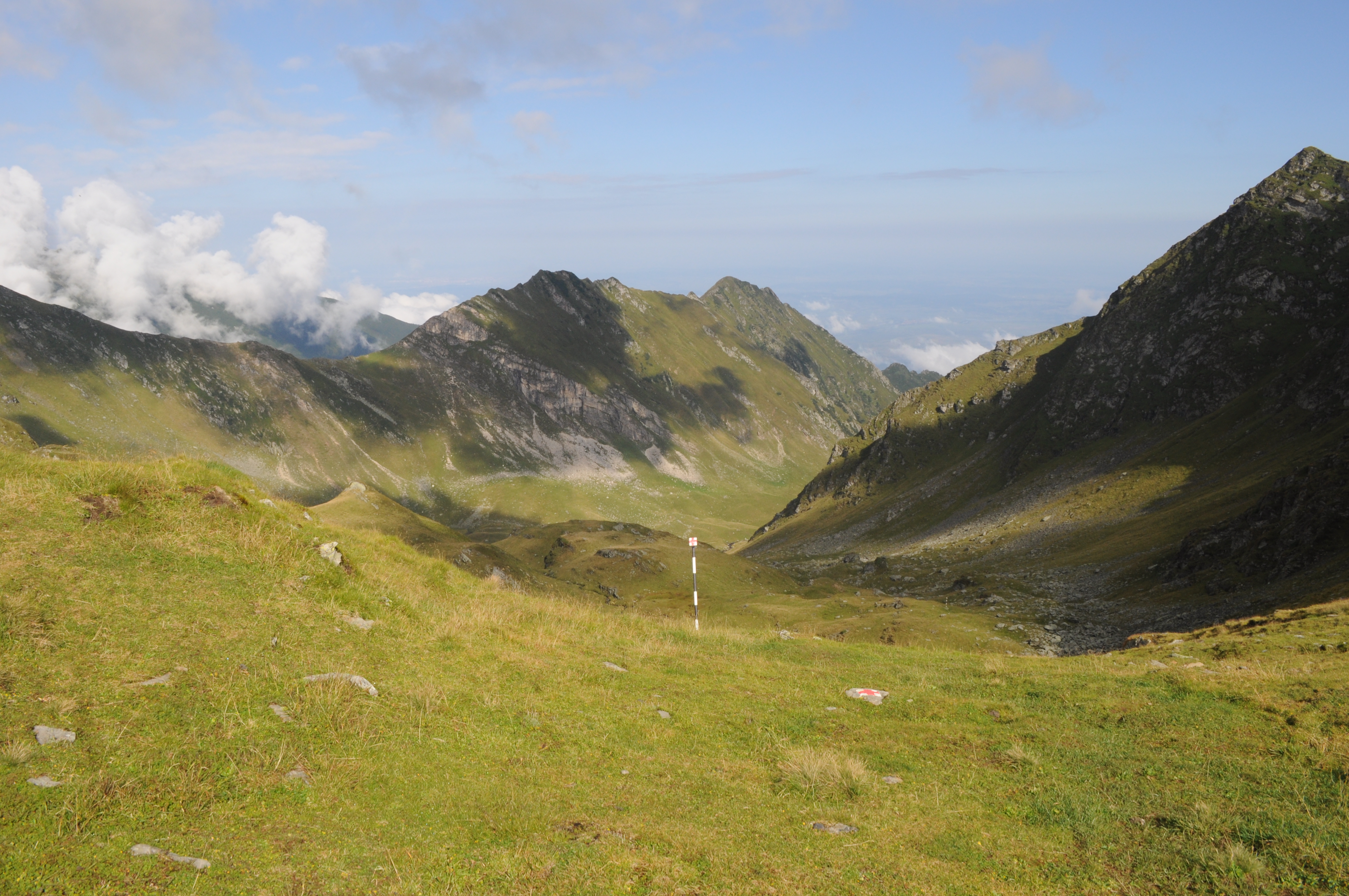
The site is located in the Southern Carpathians (Romania). The predominant ecosystems are grasslands located above tree line, dominated by Carex curvula, Juncus trifidus (alpine zone) and Festuca airoides, Nardus stricta (subalpine zone). The site consists of monitoring points in subalpine and alpine meadows in the Bâlea-Paltinul area.
-
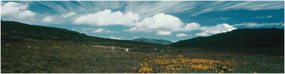
The Victorian Alpine Plot Network is located in Victoria’s Bogong High Plains and other high plains and mountain summits. Temporal visits generally range from every 3 to 10 years with some plots are surveyed annually during initial monitoring. Between 2012 and 2018 the Victorian Alpine Plot Network was a member of Long Term Ecological Research Network (LTERN), Australia, a facility of the Australian Government's Terrestrial Ecosystem Research Network (TERN).
-
GIS layer - map of forest types. Forest typology based on abiotic habitat parameters such as soil fertility and moisture, widely used by the forestry sector. Also available are thematic GIS layers showing historic forest and forestry data, as well as more current data on forest management (incl. timber harvesting) and such parameters as dominant species: height, age, trunk circumference (standard breast level measurement), proportion of coverage, etc.
-
The site is located in the Southern Carpathians (Romania). The predominant ecosystems are grasslands located above tree line, dominated by Carex curvula, Juncus trifidus (alpine zone) and Festuca airoides, Nardus stricta, Festuca nigrescens (subalpine zone). The site consists of monitoring points in subalpine and alpine meadows.
-
The Upland Heath Swamps Plot Network is located in the Dharawal National Park, near Sydney, NSW. Sampling of vegetation is stratified along the soil moisture gradient and across the range of structural variability in the vegetation. Thus, three categories of soil moisture and three categories of vegetation structure (based on the height and form of shrubs) are sampled in a factorial design at 60 sites in upland swamps scattered throughout the study area (Keith & Myerscough 1993). Temporal visits are conducted every 5 years or when fires occur. Between 2012 and 2018 the Upland Heath Swamps Plot Network was a member of Long Term Ecological Research Network (LTERN), Australia, a facility of the Australian Government's Terrestrial Ecosystem Research Network (TERN).